Best Summer Hikes in Colorado
July and August are when the high country fully opens. Alpine lakes thaw, wildflowers explode, and 14ers become climbable — just be off the summit by noon to dodge the monsoon.
115 trails in our directory.
Emerald Lake Trail
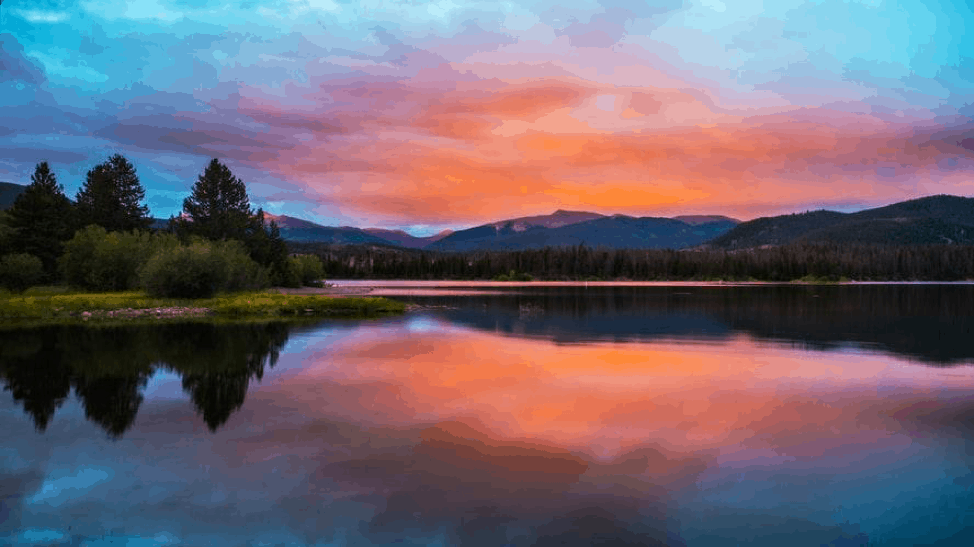
A stunning alpine lake hike that passes Nymph Lake and Dream Lake before reaching the spectacular Emerald Lake. Perfect introduction to Rocky Mountain National Park's high country.
Hanging Lake Trail
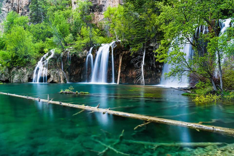
Colorado's most photographed lake features turquoise waters and a spectacular waterfall. Reservations required year-round due to its popularity and fragile ecosystem.
St. Mary's Glacier
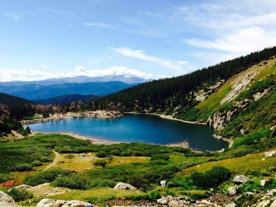
A short but steep hike to Colorado's most accessible glacier. The trail leads to St. Mary's Lake and continues to the permanent snowfield above.
Mount Elbert
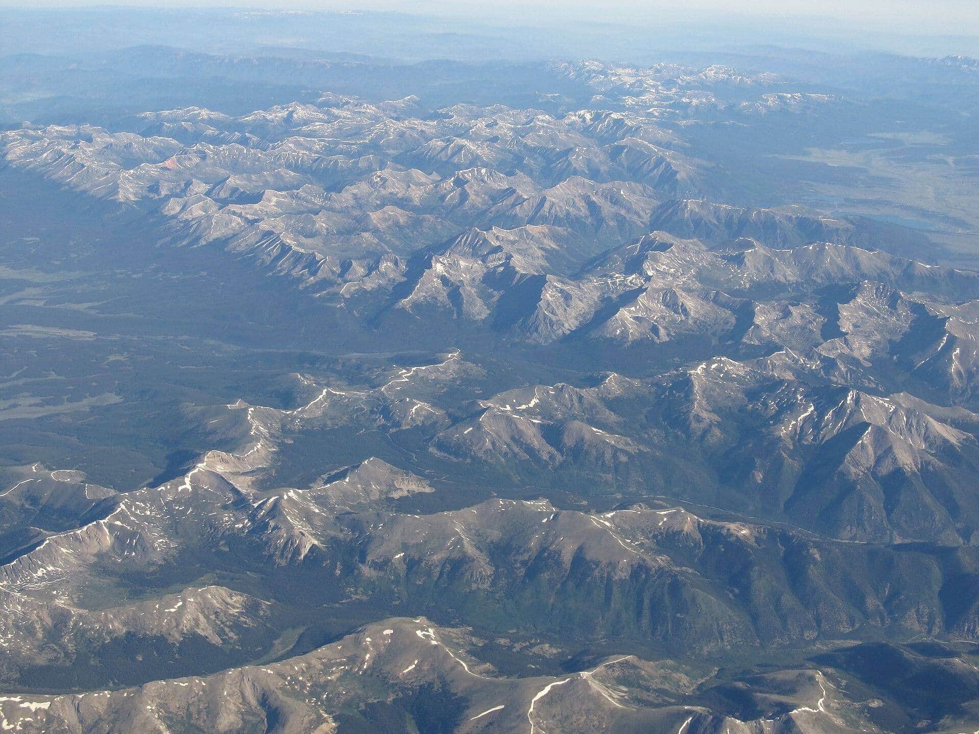
Colorado's highest peak offers a challenging but non-technical climb with incredible panoramic views. The standard East Ridge route is the most popular approach.
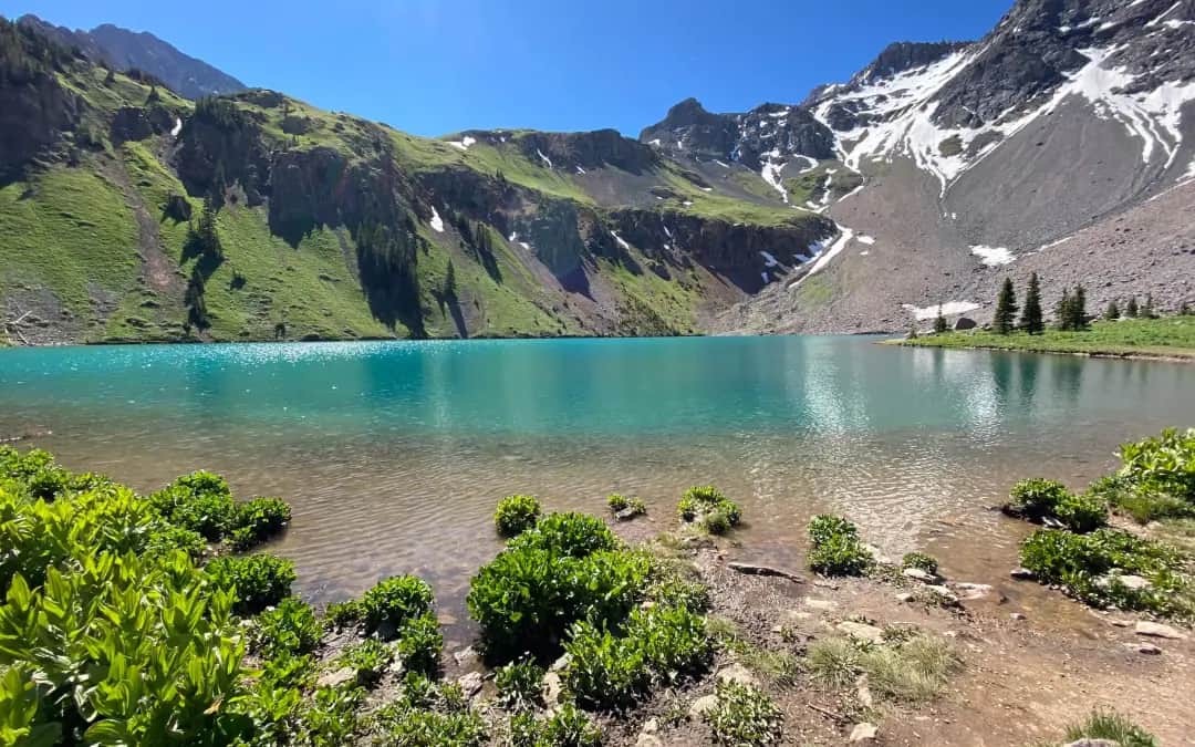
Blue Lakes Trail
Three stunning alpine lakes nestled in the Mount Sneffels Wilderness beneath 14er Mount Sneffels and neighboring 13ers Dallas Peak and Gilpin Peak. One of Colorado's most scenic high-alpine destinations.
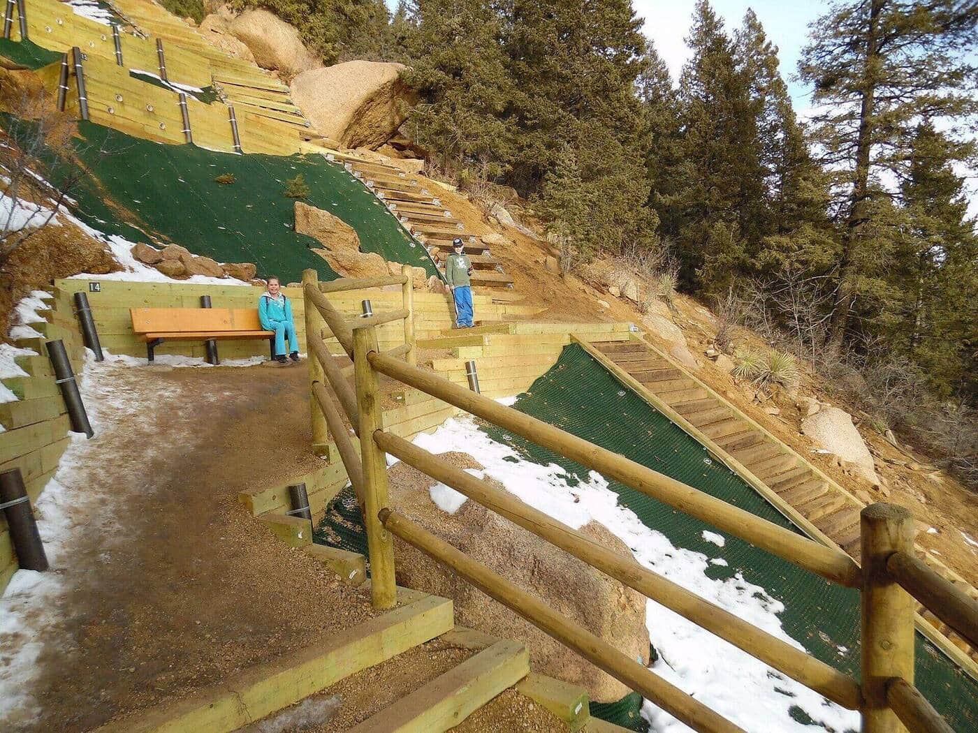
Manitou Incline
One of Colorado's most famous workouts. Roughly 2,768 railroad-tie steps gain 2,000 feet in under a mile on the old cable railway bed. A free online reservation is required year-round. Descend via Barr Trail to complete the loop.
Perkins Central Garden Trail
The paved 1.1-mile loop at the heart of Garden of the Gods. Wheelchair and stroller accessible, with the closest views of the Cathedral Spires, Three Graces, and Sleeping Giant formations.
Royal Arch Trail
A popular Boulder hike from the Chautauqua Park trailhead leading to a natural sandstone arch with stunning views of the city and Flatirons. The upper half involves stair-steps and short Class 2 scrambling, so older kids handle it well; younger kids may find it tough.
Bridal Veil Falls
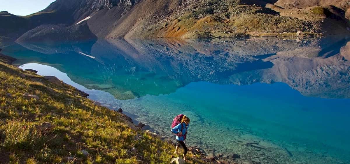
Colorado's tallest free-falling waterfall drops 365 feet from a hanging valley. The trail follows a historic mining road with spectacular mountain views.
Quandary Peak
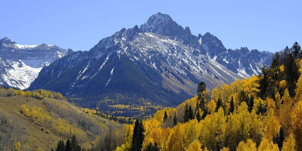
One of Colorado's most popular 14ers with well-maintained trails and stunning views of the Continental Divide. The East Ridge route is straightforward but demanding.
Chasm Lake
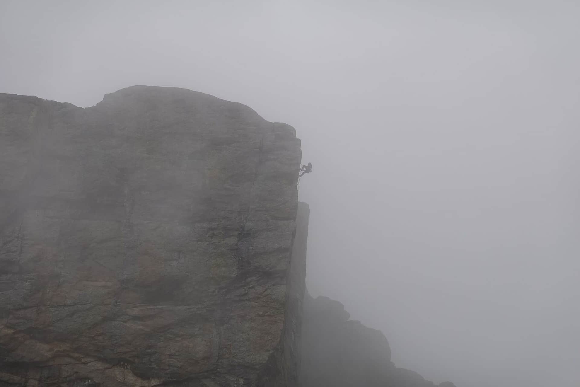
A challenging hike to a pristine alpine lake beneath the dramatic east face of Longs Peak. The lake sits in a spectacular cirque surrounded by towering granite walls.

Great Sand Dunes National Park Nature Trail
An interpretive loop trail through wetlands and grasslands with views of North America's tallest sand dunes and the Sangre de Cristo Mountains backdrop.
Flatirons Vista Trail
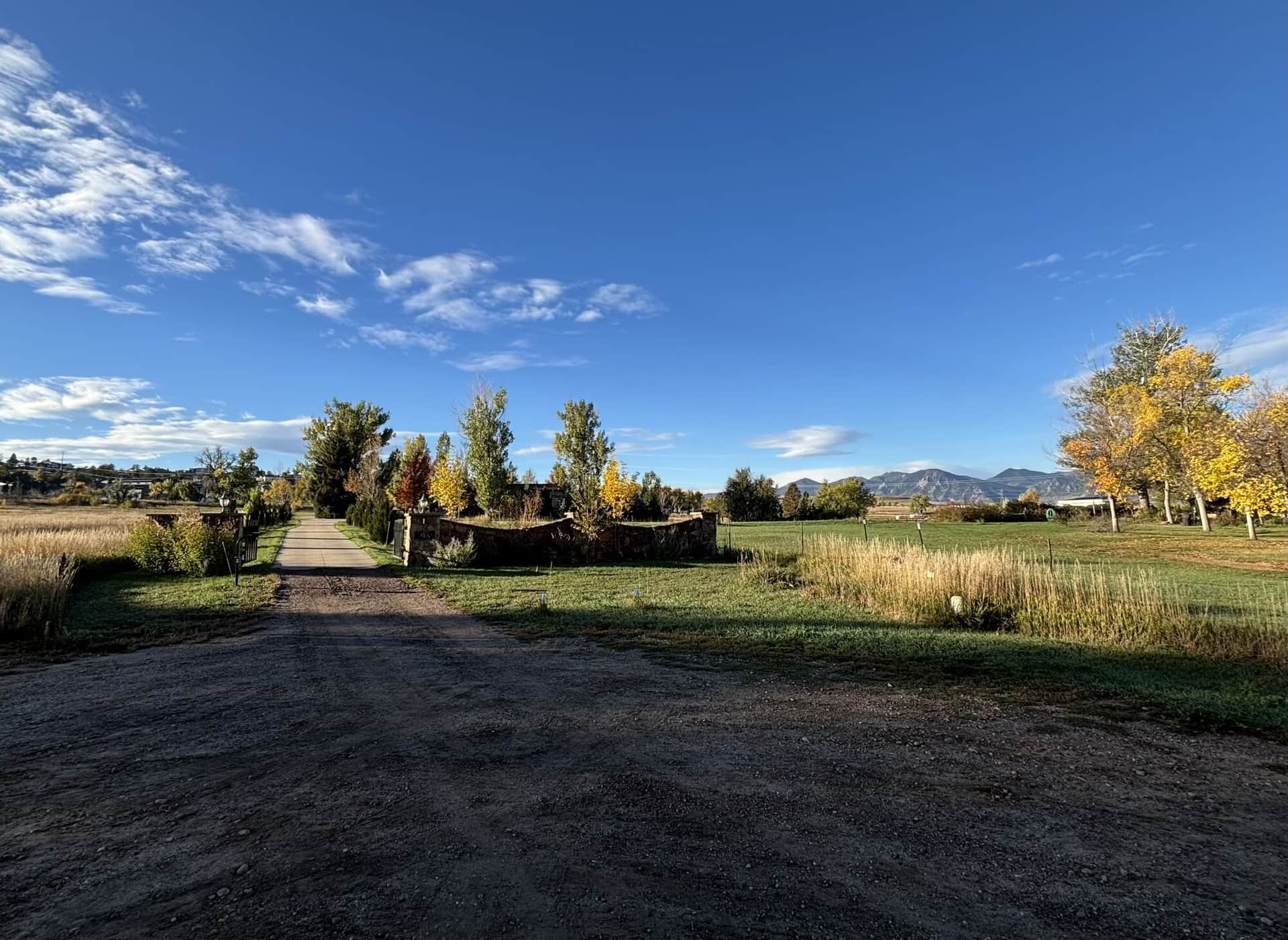
A gentle trail through grasslands and scrub oak with outstanding views of the iconic Flatirons rock formations and Boulder valley below.
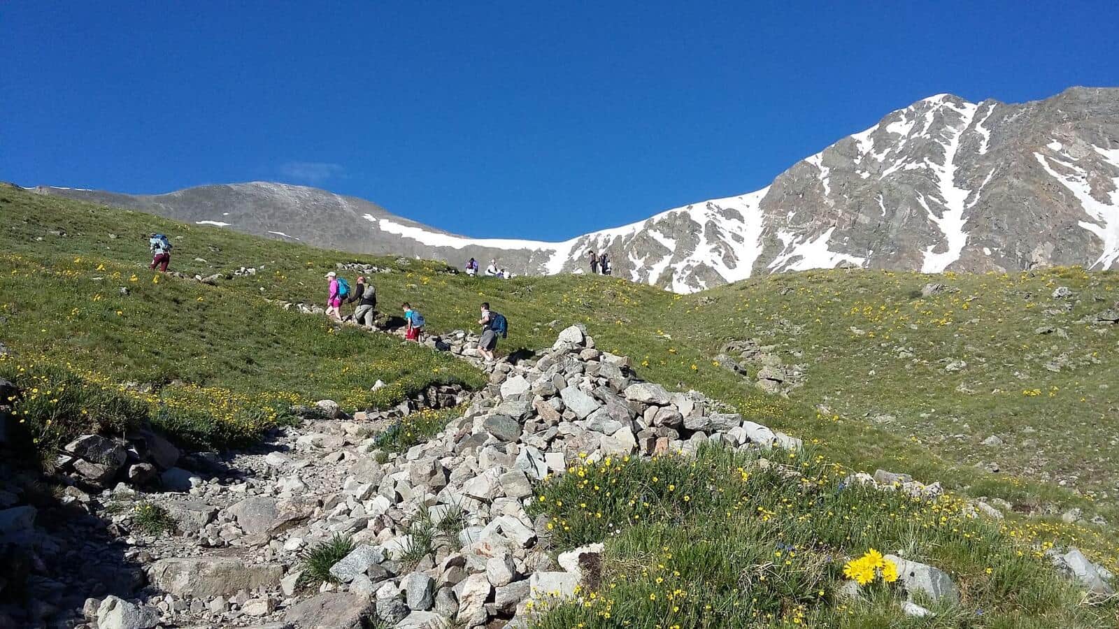
Grays and Torreys Peaks
A challenging double-peak 14er adventure offering two summits in one day. The trail features alpine terrain with stunning Continental Divide views.
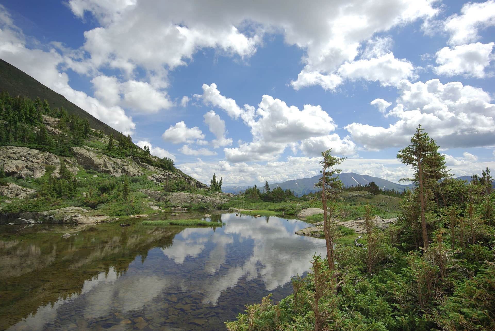
Mohawk Lakes
A scenic hike through historic mining country to pristine alpine lakes surrounded by rugged peaks. The trail passes several mining ruins and artifacts.
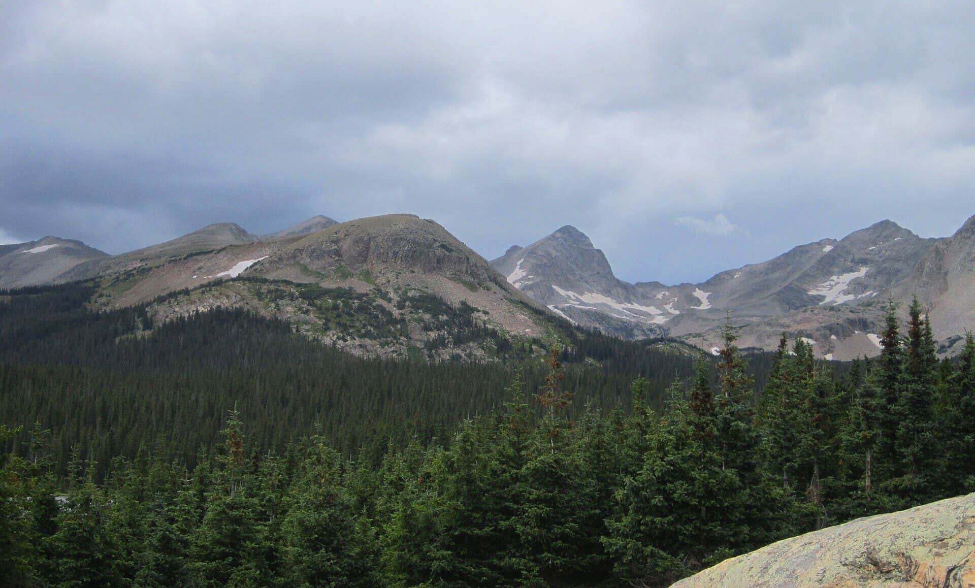
Indian Peaks Wilderness Loop
Classic Indian Peaks hike from Brainard Lake Recreation Area to Lake Isabelle, a stunning alpine lake set beneath the Continental Divide. Wildflowers explode in July, the lake water levels drop dramatically by late August, and aspens turn in late September.
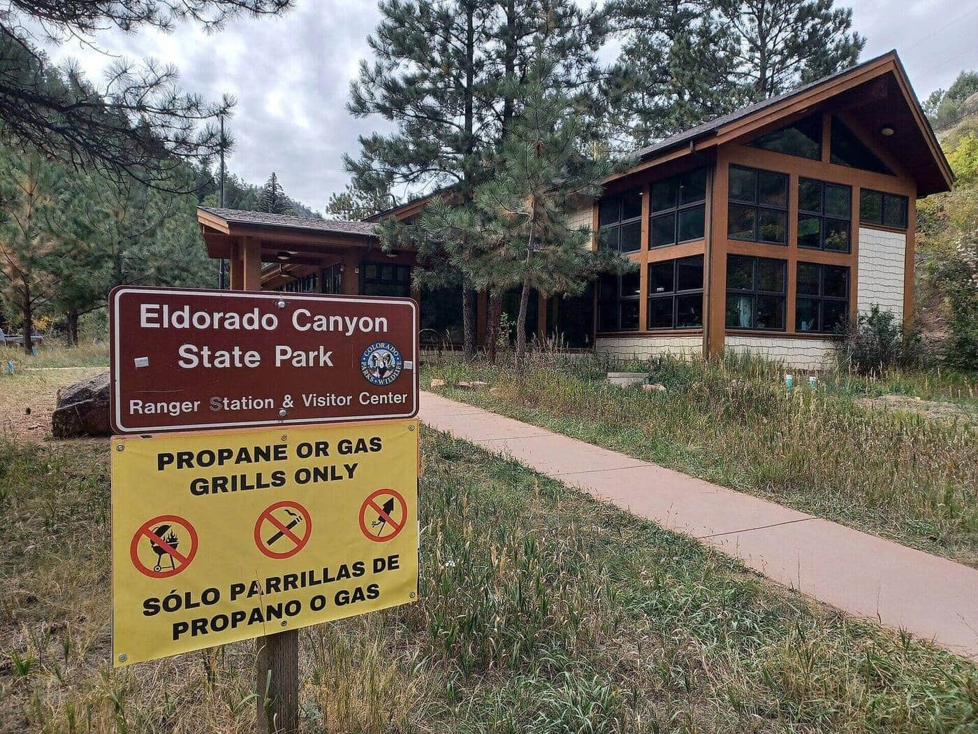
Eldorado Canyon Trail
A dramatic canyon hike through golden sandstone walls with South Boulder Creek flowing below. Popular for rock climbing access and scenic beauty.
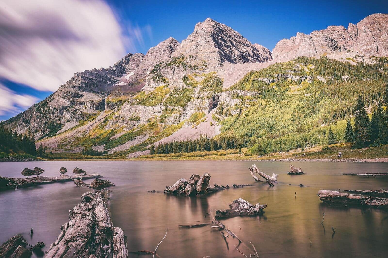
Crater Lake Trail
A challenging hike through aspen groves and alpine meadows to a pristine cirque lake surrounded by dramatic peaks in the Maroon Bells wilderness.
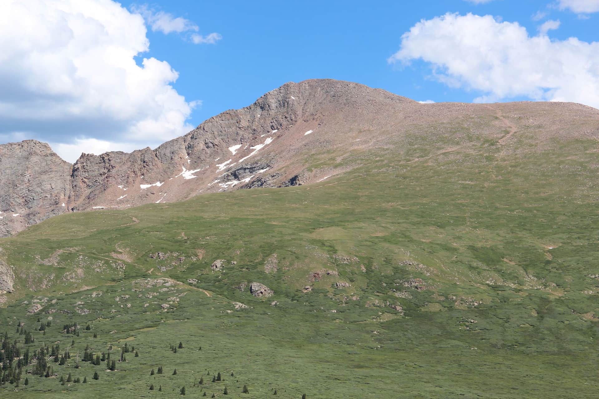
Mount Bierstadt
One of Colorado's most accessible 14ers with a well-defined trail through beautiful alpine terrain. Popular choice for first-time peak baggers.
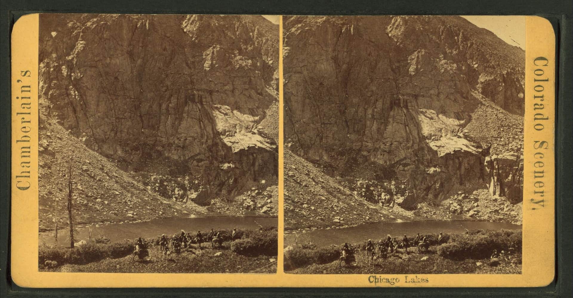
Chicago Lakes
A long but gentle hike to two pristine alpine lakes beneath Mount Blue Sky, the peak renamed from Mount Evans in 2023. The trail follows an old mining road through beautiful subalpine forest.
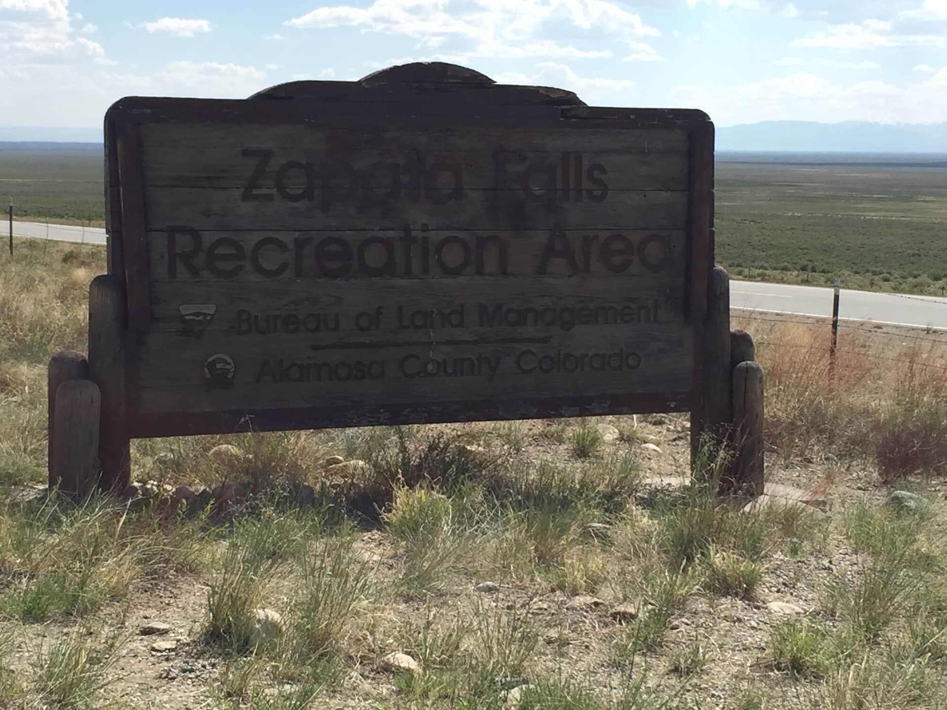
Zapata Falls
A short hike to a hidden waterfall in a narrow canyon slot. The final approach requires wading through cold water to reach the 30-foot cascade.
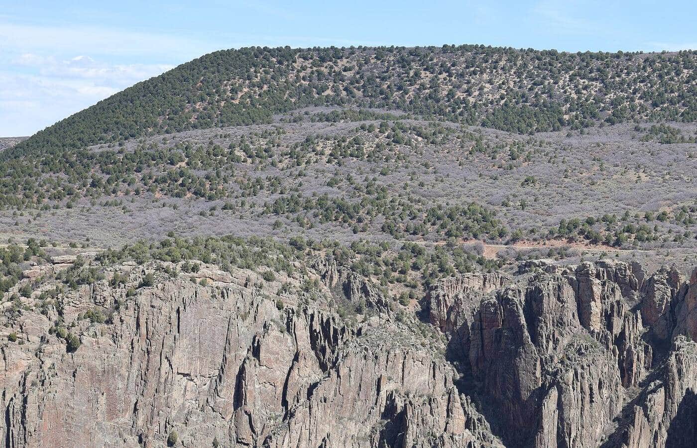
Black Canyon Rim Trail
A dramatic rim walk along one of Colorado's most spectacular canyons with sheer 2000-foot drops and ancient dark rock formations.
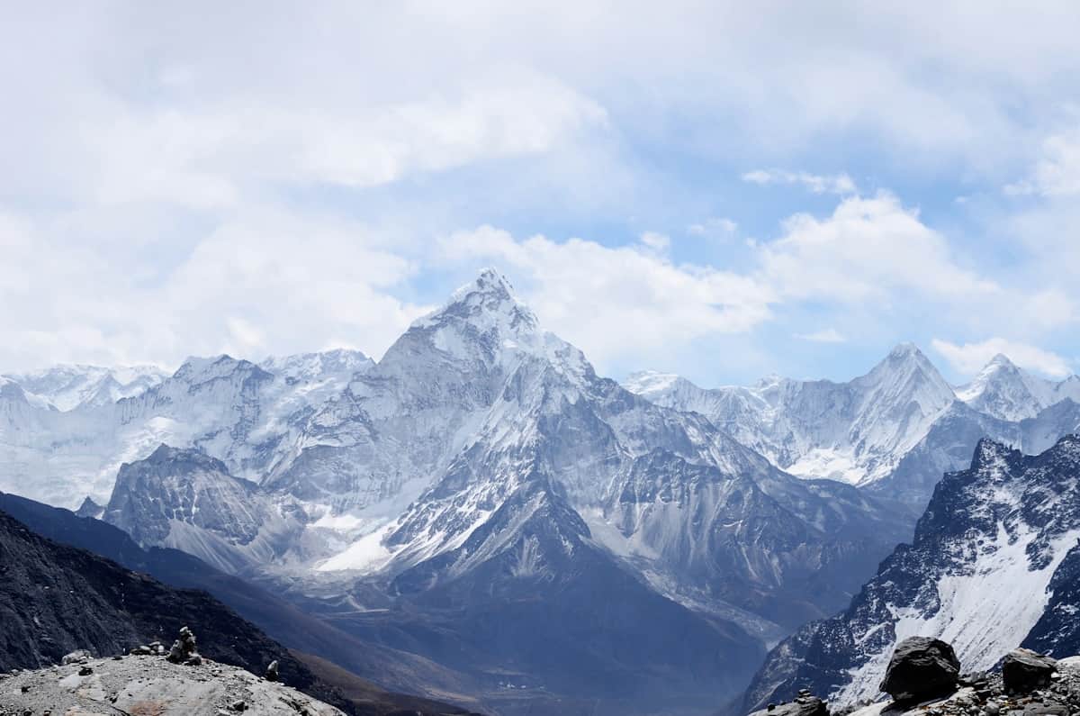
Maroon Lake Trail
An iconic easy loop around Colorado's most photographed peaks. The trail offers stunning reflections of the Maroon Bells in the alpine lake.
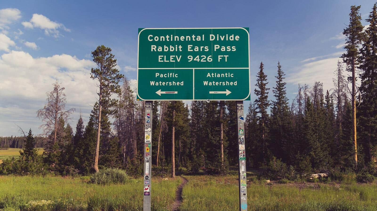
Rabbit Ears Pass Trail
Moderate hike from Dumont Lake to the distinctive rabbit-ear-shaped rock formations on the summit of Rabbit Ears Peak. Wildflower meadows in summer, aspen color in late September, and one of the most photographed peaks along the Continental Divide.
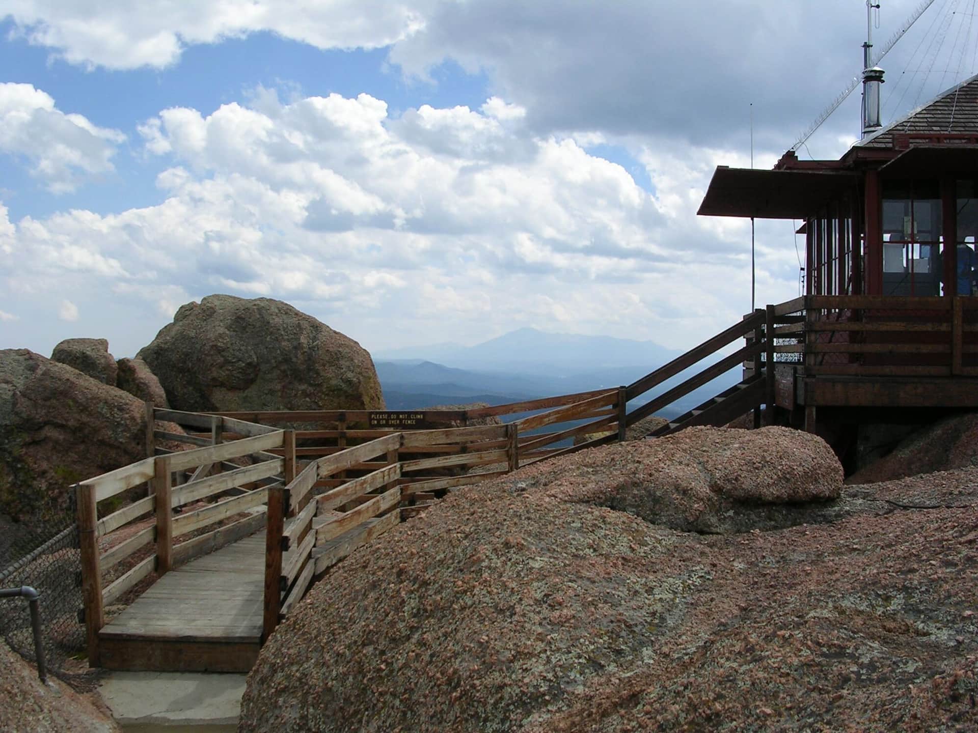
Devil's Head Lookout
A historic fire lookout tower hike through ponderosa pine forest with 360-degree views from the restored 1919 fire tower at the summit.
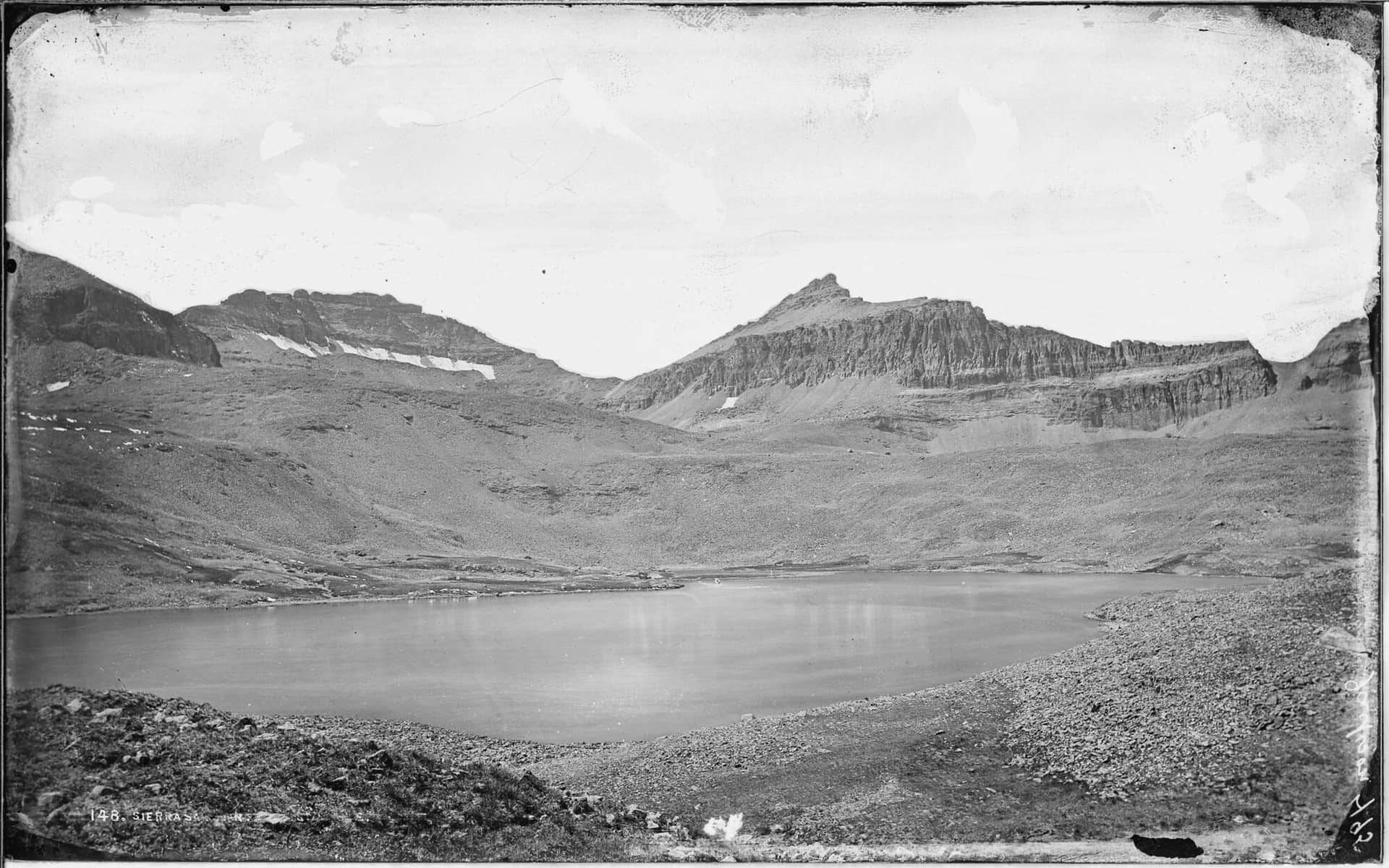
Ice Lake Basin
A spectacular hike to a pristine turquoise alpine lake surrounded by colorful peaks and abundant wildflowers. One of Colorado's most beautiful destinations.
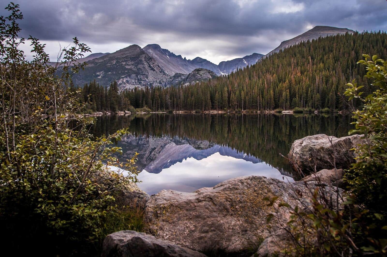
Bear Lake Trail
An accessible paved loop around one of Rocky Mountain National Park's most popular lakes with stunning mountain reflections and wildlife viewing.
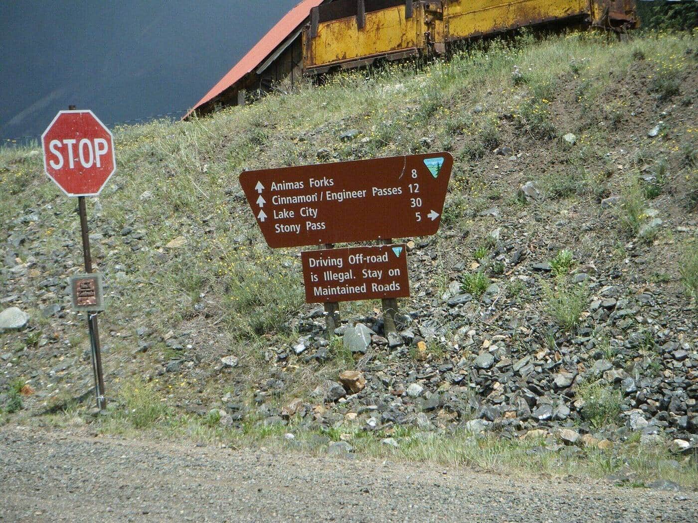
Highland Mary Lakes
A scenic hike through historic mining territory to a series of alpine lakes with dramatic views of the surrounding San Juan peaks.
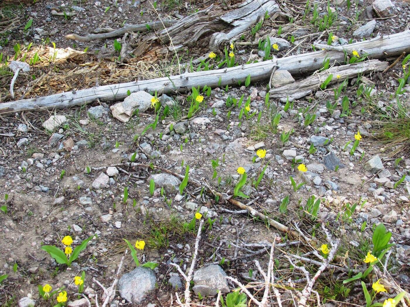
Lily Lake Trail
A flat, accessible boardwalk loop around a scenic lake with views of Longs Peak and the Continental Divide. Perfect for all abilities.
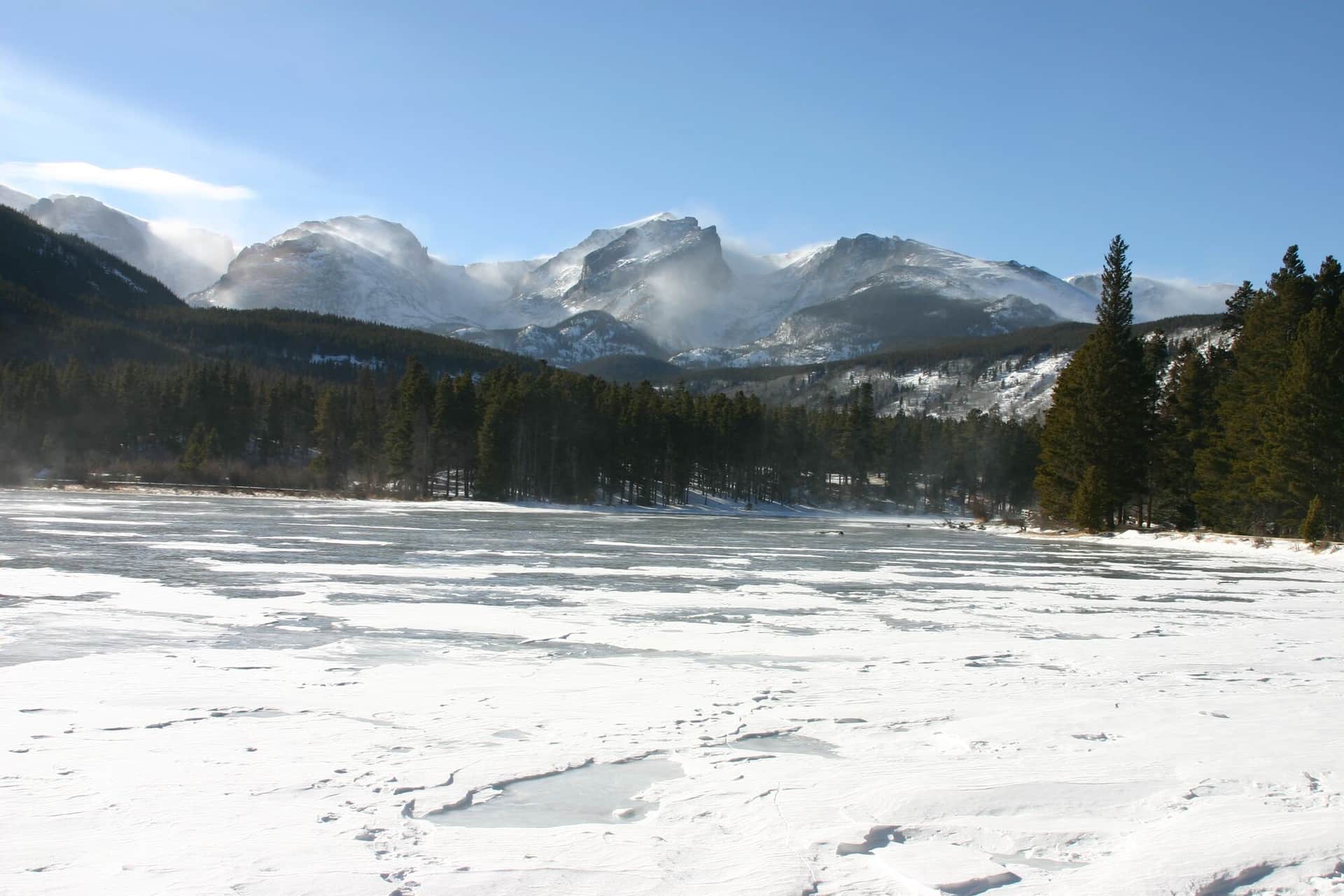
Sprague Lake Trail
A wheelchair-accessible trail to a pristine alpine lake with stunning reflections of the Continental Divide peaks and Hallett Peak.
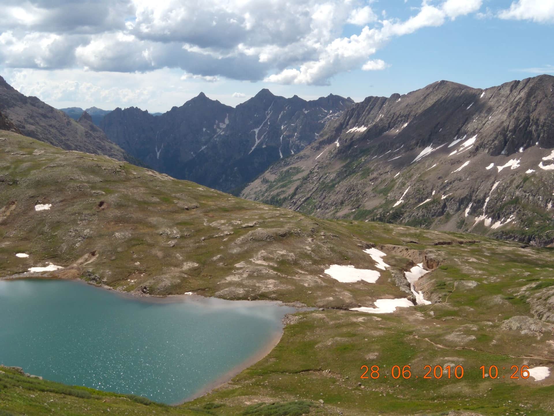
Columbine Lake Trail
A challenging wilderness hike to a remote alpine lake beneath dramatic peaks with pristine wilderness settings and stunning mountain views.
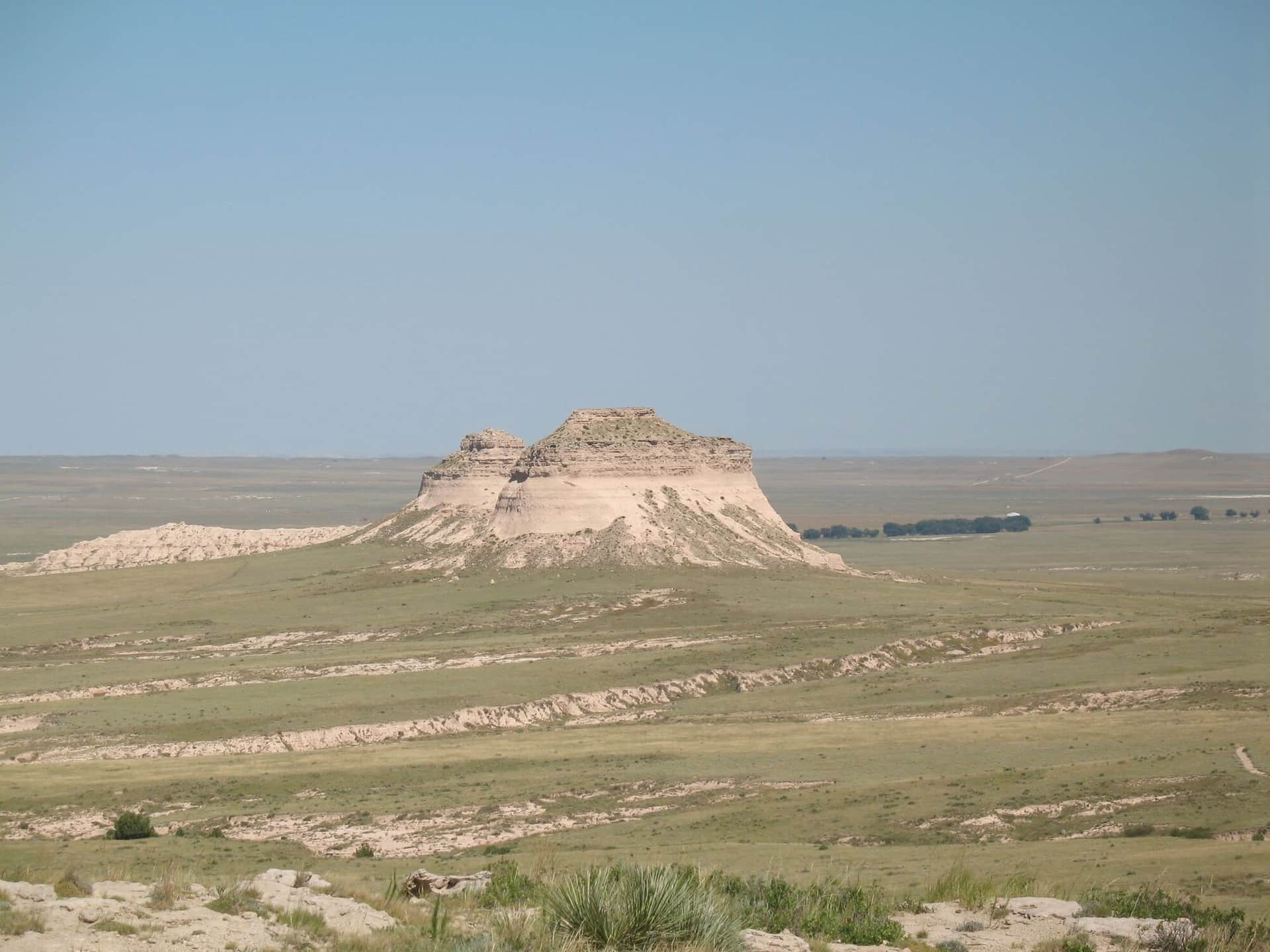
Pawnee Buttes Trail
A unique prairie hike to distinctive sandstone buttes on Colorado's eastern plains with expansive grassland views and diverse prairie wildlife.
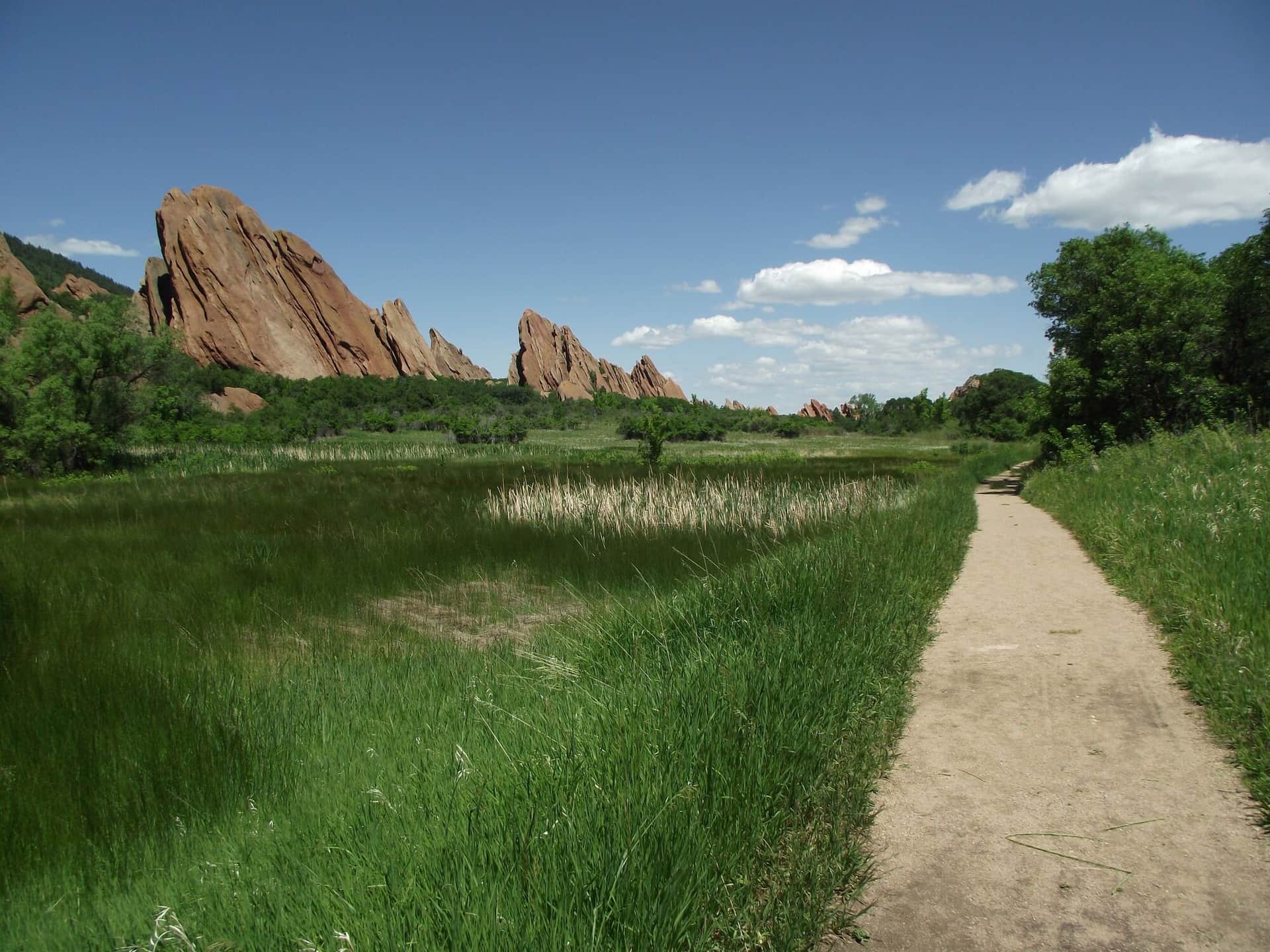
Roxborough State Park Fountain Valley Trail
A scenic loop through dramatic red rock formations and native grasslands with views of the distinctive hogback ridges and Front Range foothills.
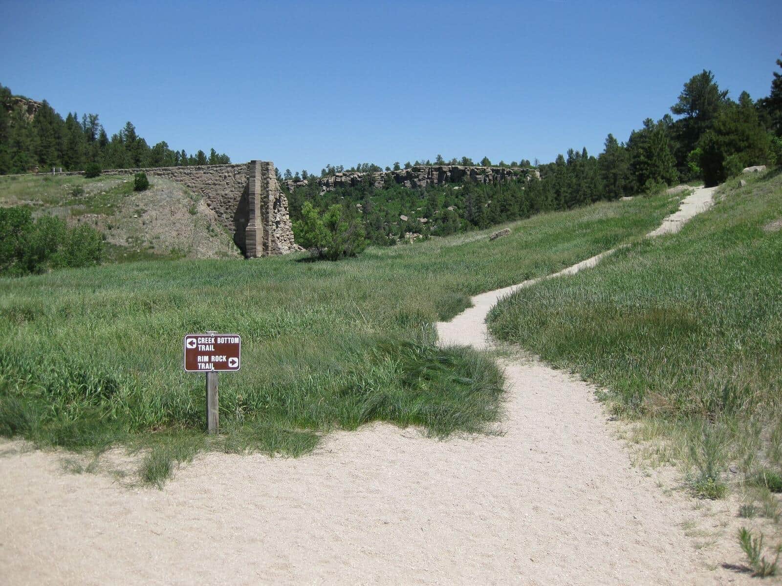
Castlewood Canyon Dam Ruins Trail
An easy walk to historic dam ruins through a scenic sandstone canyon with Cherry Creek flowing through diverse riparian and prairie ecosystems.
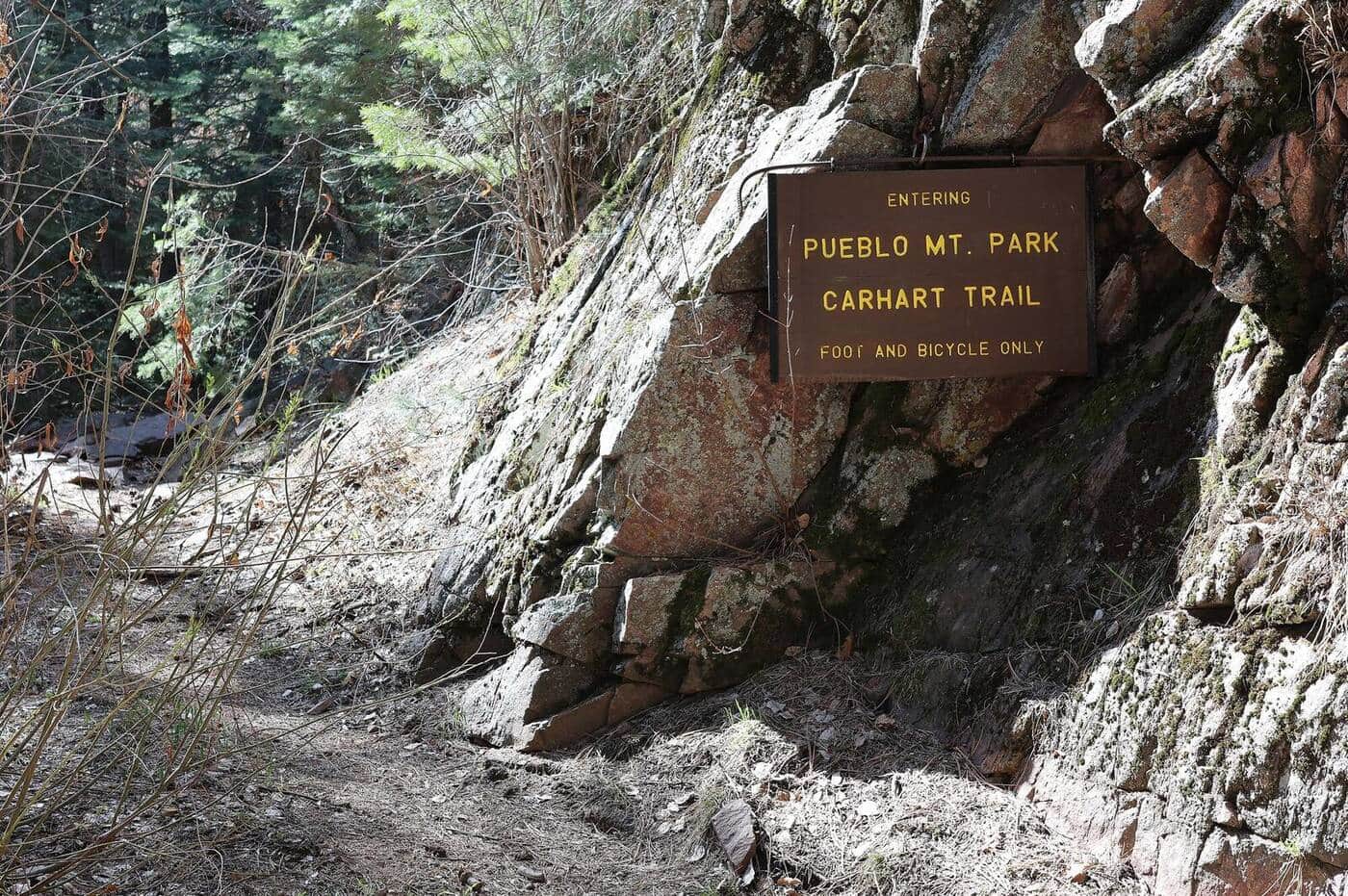
Pueblo Mountain Park Trail
Closed since the July 2026 Aspen Acres Fire while the City of Pueblo assesses the damage. A mountain park trail network through ponderosa pine forests and open meadows with views of the Sangre de Cristo Range and Arkansas River valley.
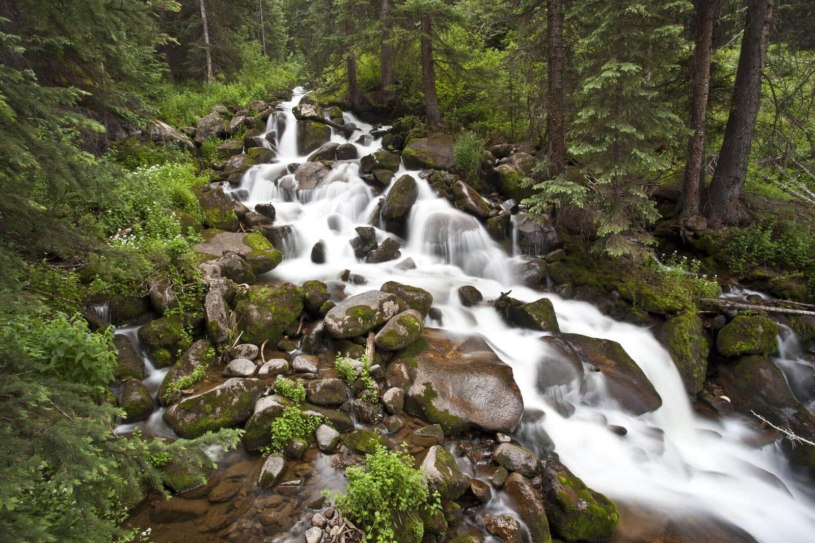
Four Pass Loop
Colorado's premier backpacking route crosses four mountain passes above 12,000 feet through the Maroon Bells-Snowmass Wilderness. A 3-4 day trek with stunning wildflower meadows, alpine lakes, and panoramic views of the Elk Mountains.
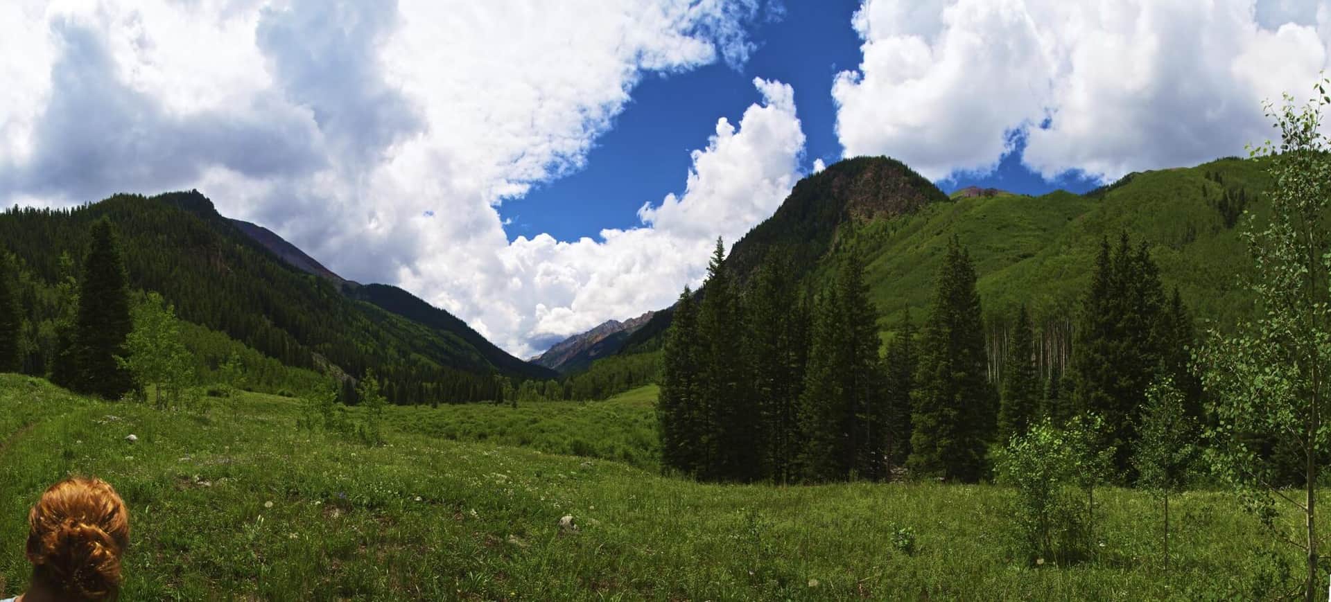
Conundrum Hot Springs
A long but rewarding trail to one of Colorado's most famous natural hot springs at 11,200 feet. The route follows Conundrum Creek through forests and meadows in the Maroon Bells-Snowmass Wilderness. Permit required for overnight stays.
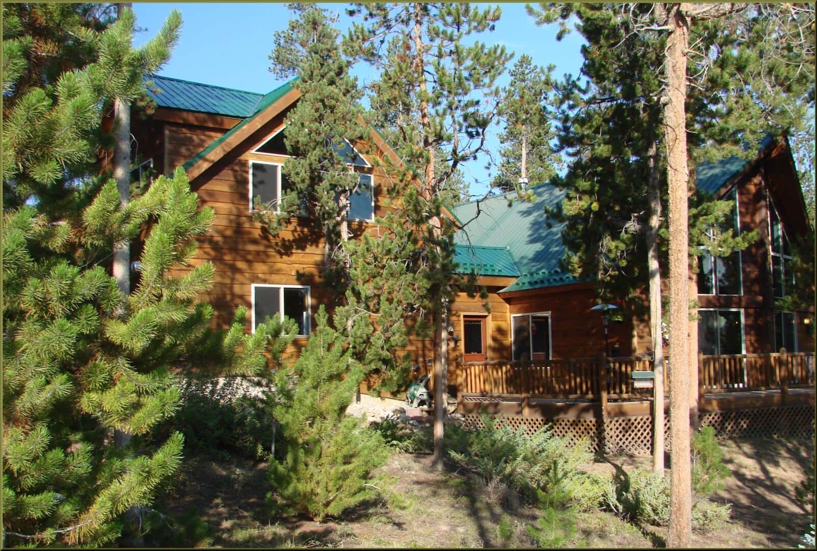
Cathedral Lake Trail
A steep climb through Pine Creek canyon to a gorgeous alpine lake at nearly 12,000 feet in the Maroon Bells-Snowmass Wilderness. Forests give way to meadows and wildflowers before reaching the dramatic lake basin below Electric Pass.
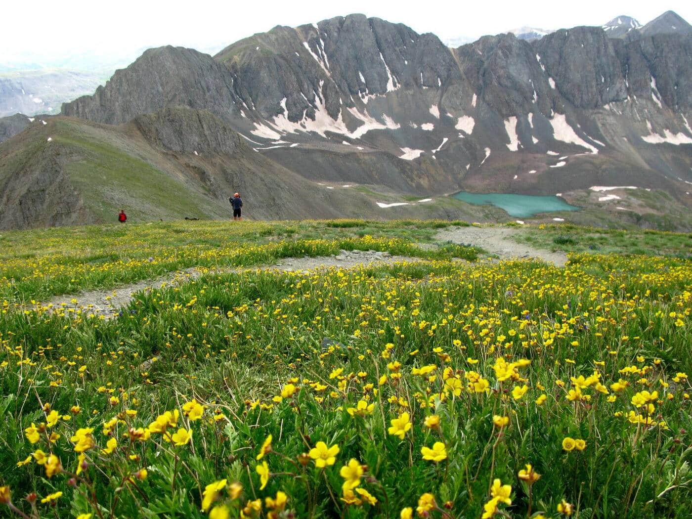
American Lake Trail
A steep switchback climb through aspen groves and spruce forests to a pristine alpine lake at 11,365 feet. Meadows ablaze with wildflowers from mid-July to mid-August and a waterfall near the lake make this a rewarding destination.
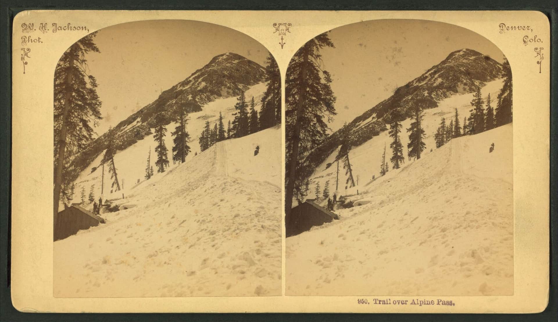
Pitkin Lake Trail
A challenging hike in the Eagles Nest Wilderness climbing nearly 3,000 feet to a stunning alpine lake. The trail offers dazzling views of East Vail and the surrounding peaks, with the final approach through open alpine terrain.
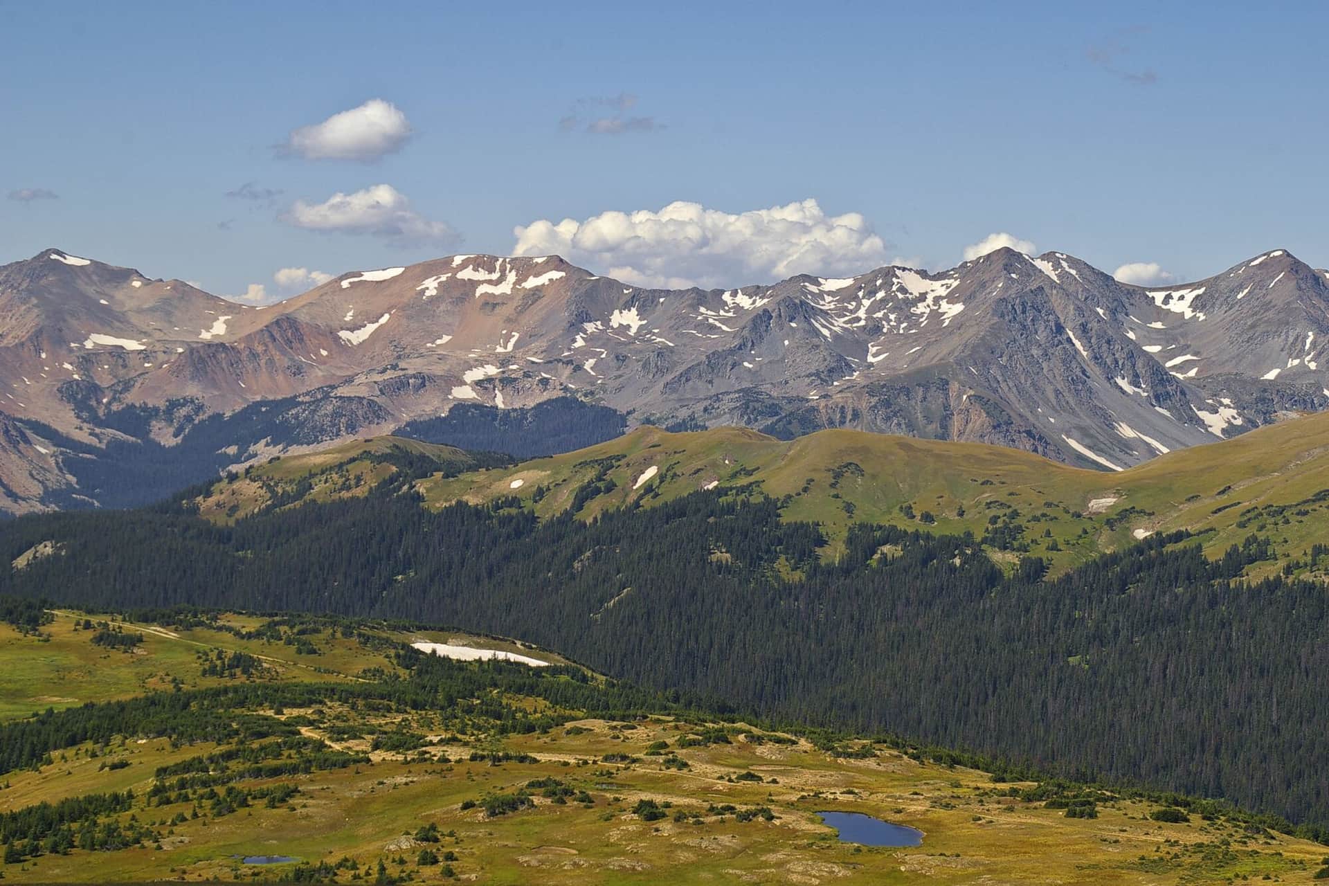
Gore Lake Trail
A long and rewarding hike through the Eagles Nest Wilderness to a remote alpine lake beneath the dramatic Gore Range. Stunning fall colors, rocky terrain, and wildlife sightings make this a Vail-area classic for experienced hikers.
Notch Mountain Trail
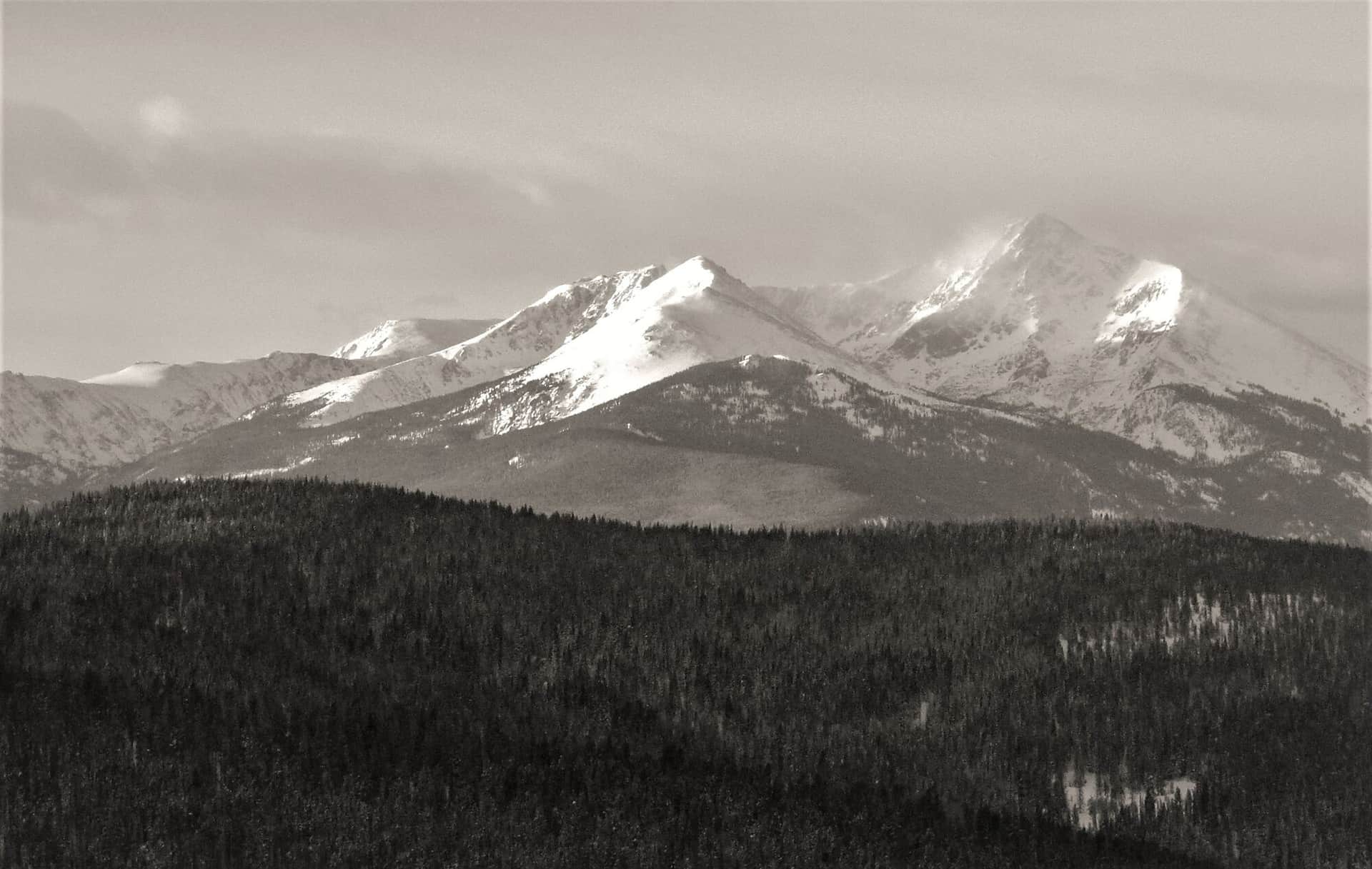
Climb to the summit of Notch Mountain in the Holy Cross Wilderness for one of Colorado's most iconic views: the cross-shaped snow couloir on Mount of the Holy Cross. A historic stone shelter sits at the top.
Upper Piney River Falls Trail
A scenic, family-friendly trail following the Piney River past Piney Lake through open wildflower meadows, aspen stands, and pine forests. The waterfall at the end is a refreshing reward with views of the Gore Range.
Willow Lake Trail
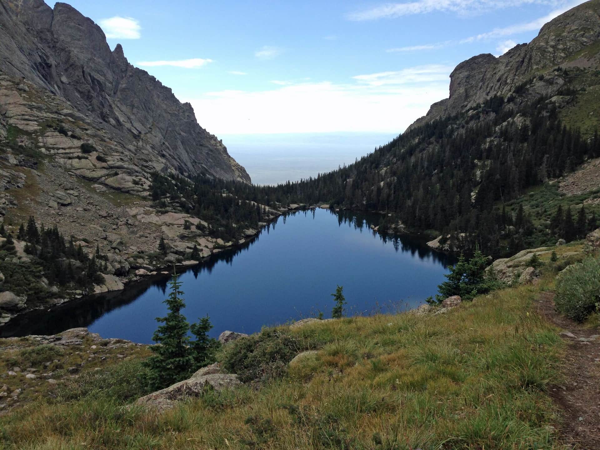
A steep, challenging trail in the Maroon Bells-Snowmass Wilderness climbing through a gulch into alpine meadows before reaching secluded Willow Lake. The trail passes near Buckskin Pass with views of the surrounding peaks.
The Grottos Trail
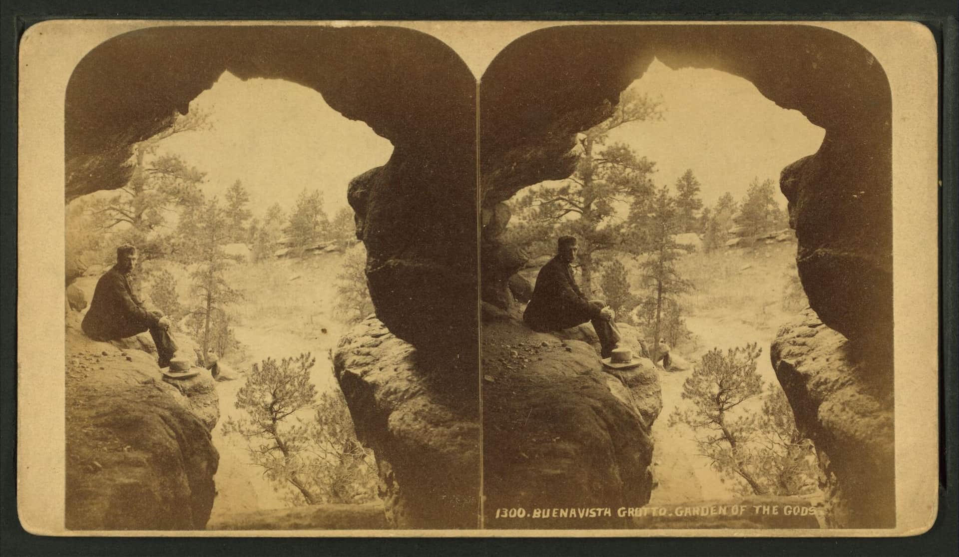
A short, family-friendly trail along the Roaring Fork River to unique ice caves and small waterfalls carved into granite. The picnic area and accessible terrain make this a great stop along Independence Pass.
Savage Lakes Trail
A moderately steep climb east of Basalt to a pair of subalpine lakes surrounded by rugged peaks. The trail passes through aspen and conifer forests with good fishing opportunities at the lakes.
Anthracite Pass Trail
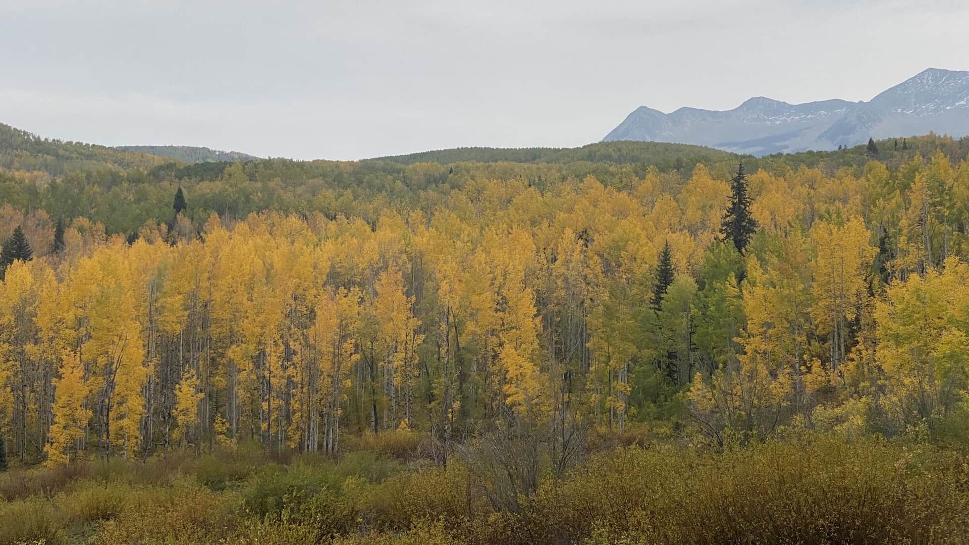
A short but very steep trail through the Raggeds Wilderness climbing to a mountain pass with beautiful views of surrounding peaks. Passes through aspen groves, pine forests, and open meadows with great wildflower displays.
Linkins Lake Trail
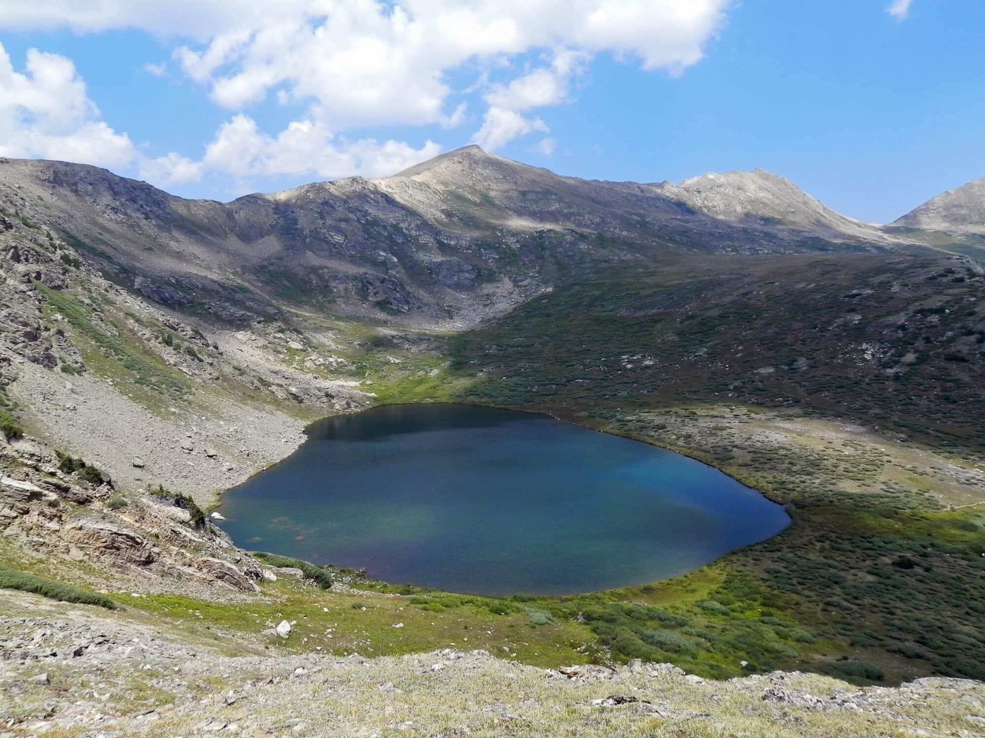
A short but high-altitude trail just below the summit of Independence Pass leading to a small alpine lake above treeline. The trail starts at nearly 12,000 feet, offering immediate alpine tundra scenery and wildflowers.
Fern Lake Trail
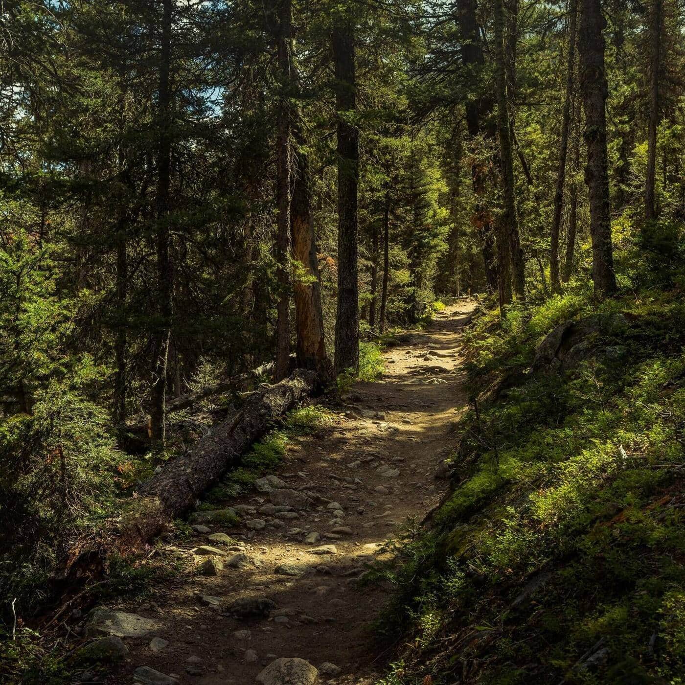
A longer alternative to the crowded Bear Lake corridor. The trail follows the Big Thompson River through Moraine Park, passes The Pool and Fern Falls, and climbs to subalpine Fern Lake. Quieter than Emerald Lake even in peak season.
Cub Lake Trail
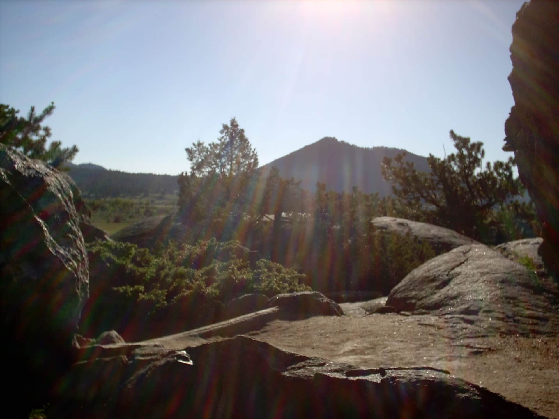
An easy hike through Moraine Park's meadows and aspen groves to Cub Lake, a small lily-pad-covered lake surrounded by pines. Wildflowers in July, fall colors mid-September, and one of the most beginner-friendly RMNP trails outside the Bear Lake area.
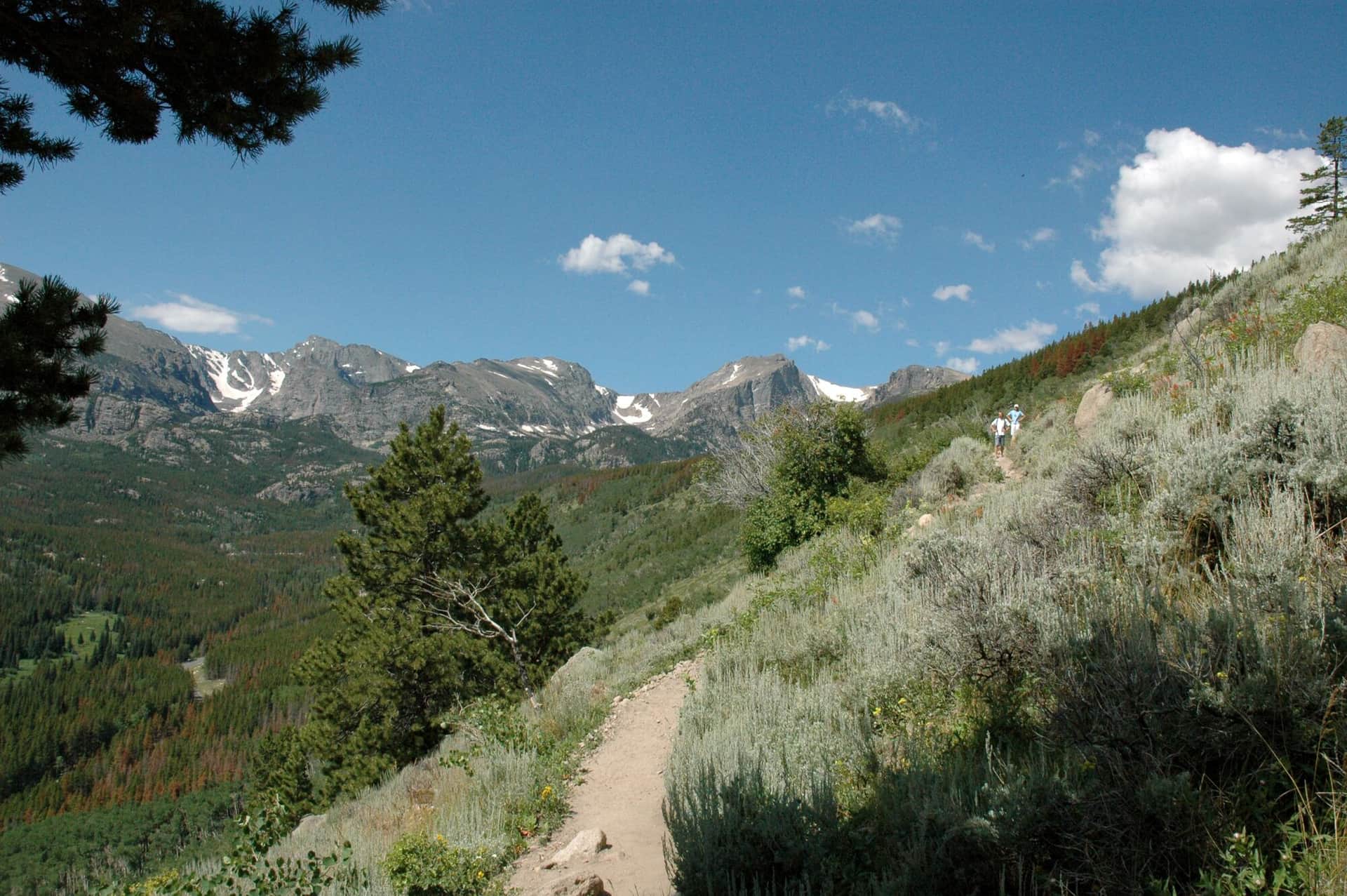
Bierstadt Lake Trail
Short but steep switchbacks climb to Bierstadt Lake, a quiet forested lake with classic reflection views of Longs Peak and the Continental Divide. The lake is busier in winter for snowshoers than in summer.
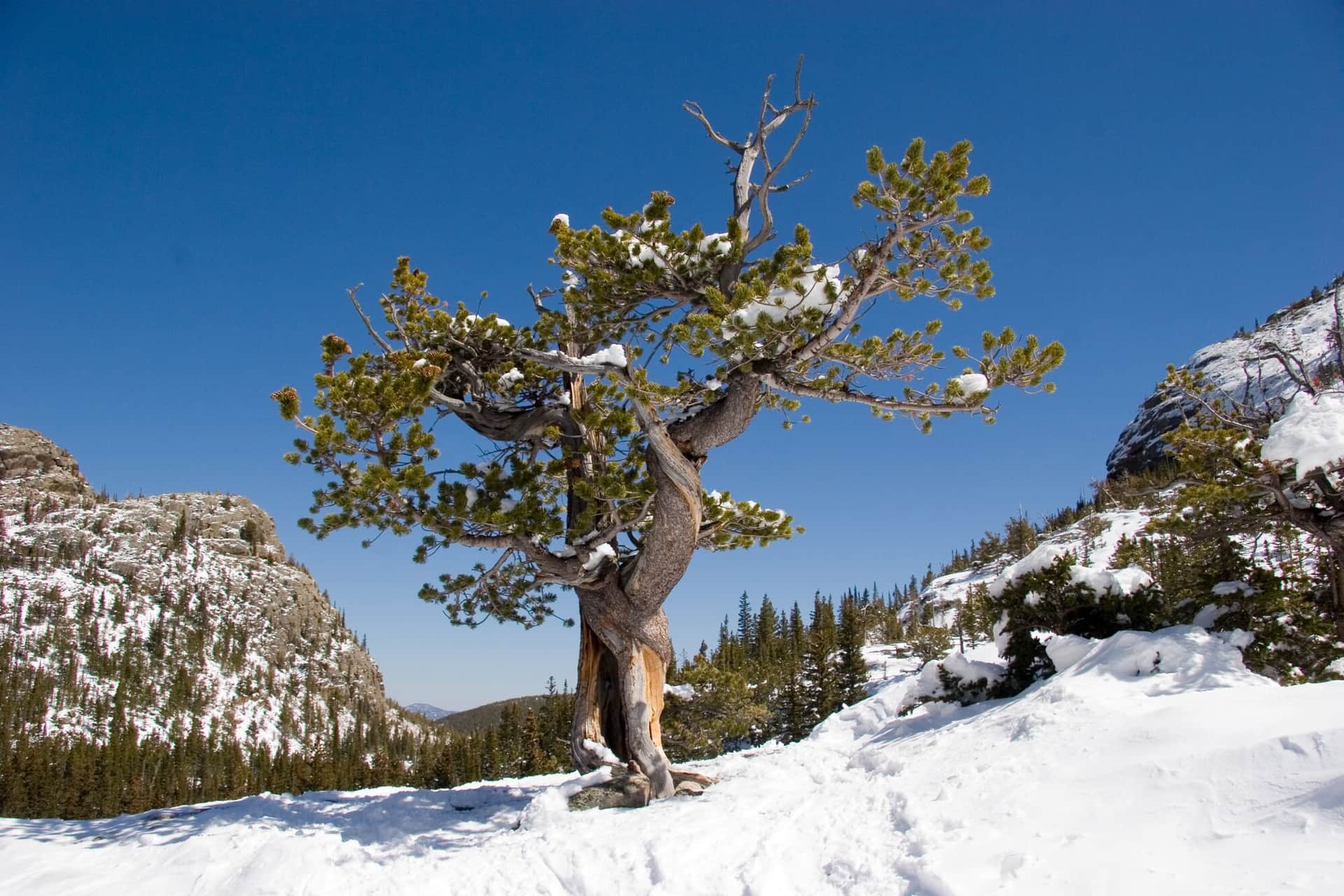
Mills Lake Trail
Starts at Glacier Gorge Trailhead and climbs past Alberta Falls into the dramatic Glacier Gorge to Mills Lake, with direct views up to the Keyboard of the Winds and Longs Peak. The trailhead is also the start for Loch Vale and Sky Pond on longer days.
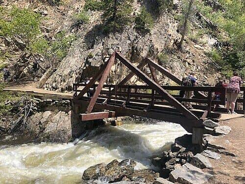
Fish Creek Falls Trail
Short walk to a viewing platform of Fish Creek Falls, a 280-foot cascade just outside Steamboat Springs. The upper trail continues to a second viewpoint at the top of the falls. Iconic Steamboat photo destination.
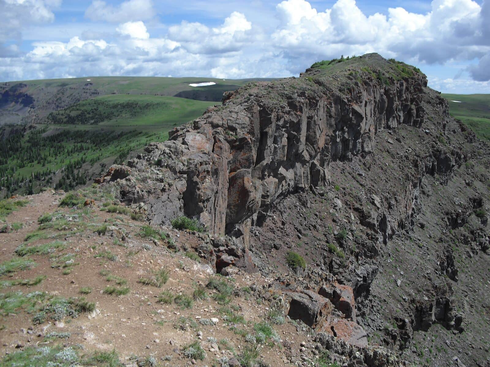
Devils Causeway Trail
Famous ridge traverse in the Flat Tops Wilderness. The Causeway is a 4-foot-wide rocky knife-edge ridge with dramatic exposure on both sides. From the Stillwater Reservoir Trailhead, climb to the ridge and traverse the narrow section. Vertigo-inducing for some.
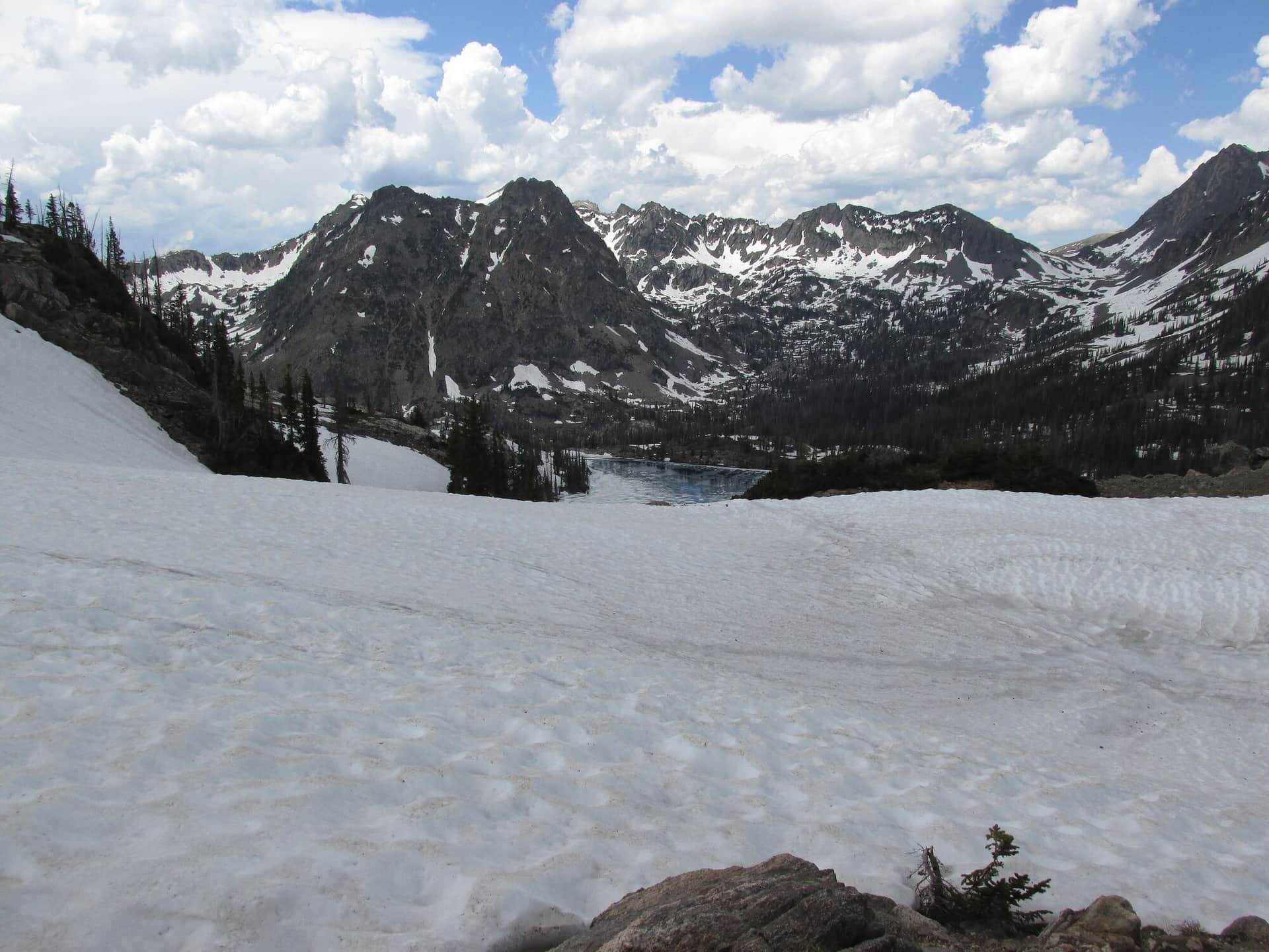
Gilpin Lake Trail
Premier Mount Zirkel Wilderness loop combining Gilpin Lake, Gold Creek Lake, and Mica Basin. The lakes are dramatic alpine destinations with the Sawtooth Range looming above. Backpack-friendly with multiple camp sites.
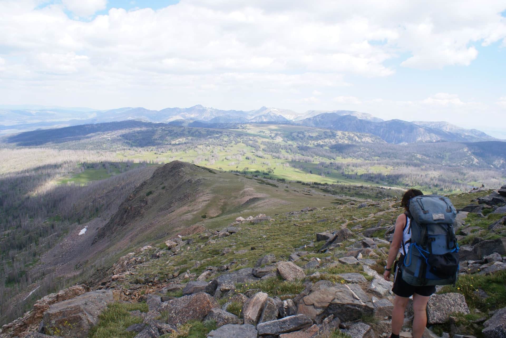
Mount Zirkel Trail
Summit climb to Mount Zirkel (12,180 ft), the high point of the Park Range. From the Slavonia Trailhead, climb past Gilpin Lake, then up to the summit. Real backcountry day requiring acclimatization and full preparation.
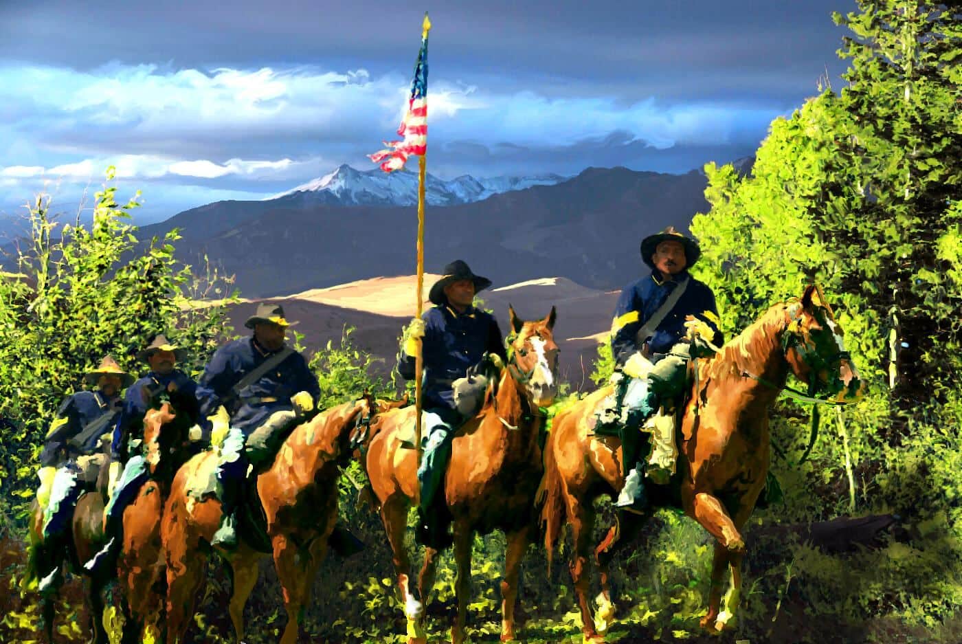
Buffalo Pass Trail
Continental Divide pass east of Steamboat. The trail / road climbs through dense forest to the open pass with views back to town. Mountain bike popular; hike-friendly in shoulder seasons.
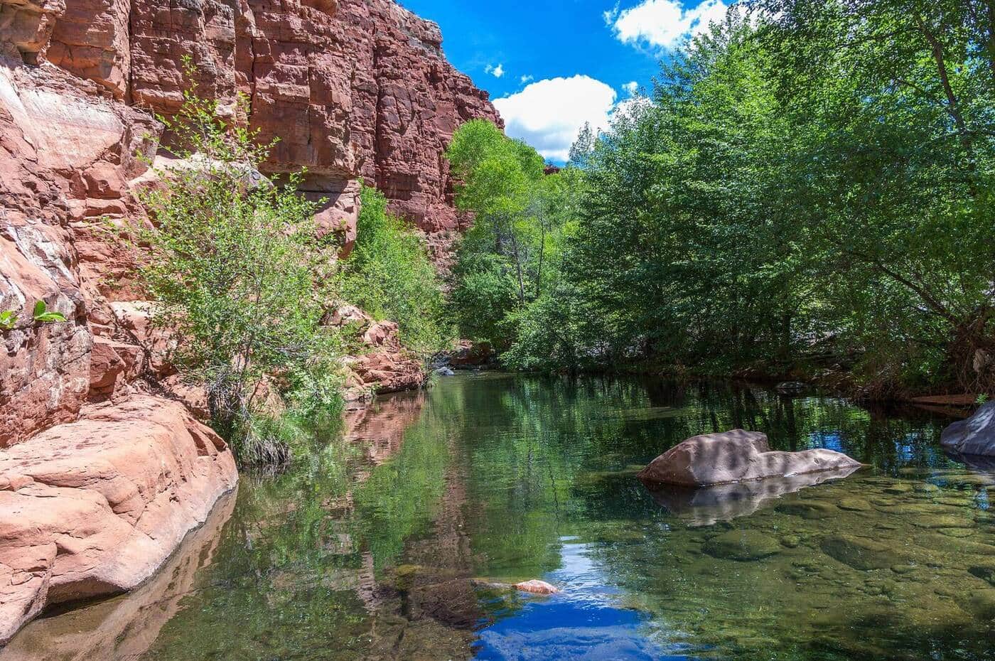
Service Creek Trail
Lower-elevation Flat Tops trail through aspen forest along Service Creek. Excellent shoulder-season option when high country is still snowy. Wildlife viewing for deer and the occasional moose.
Spring Creek Trail
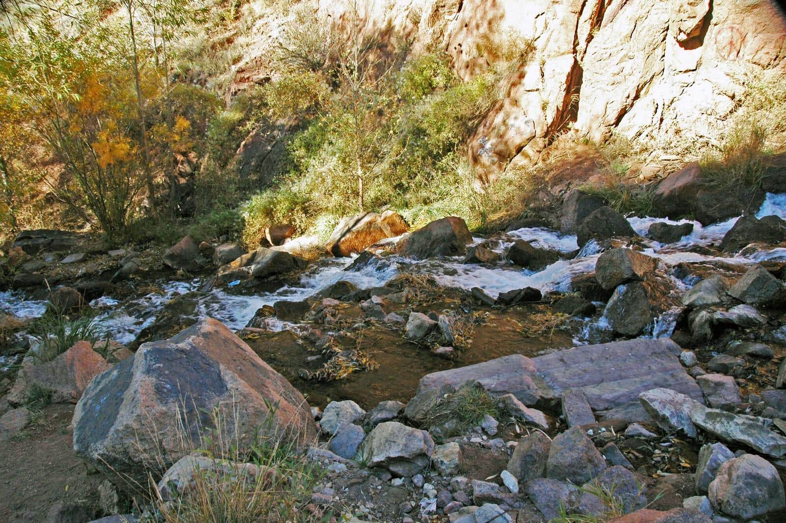
Popular in-town Steamboat trail starting from downtown. Follows Spring Creek through riparian zone with multiple stream crossings on bridges. Mountain bikers share the trail. Family-friendly entry to Steamboat outdoor recreation.
Wheeler Lakes Trail
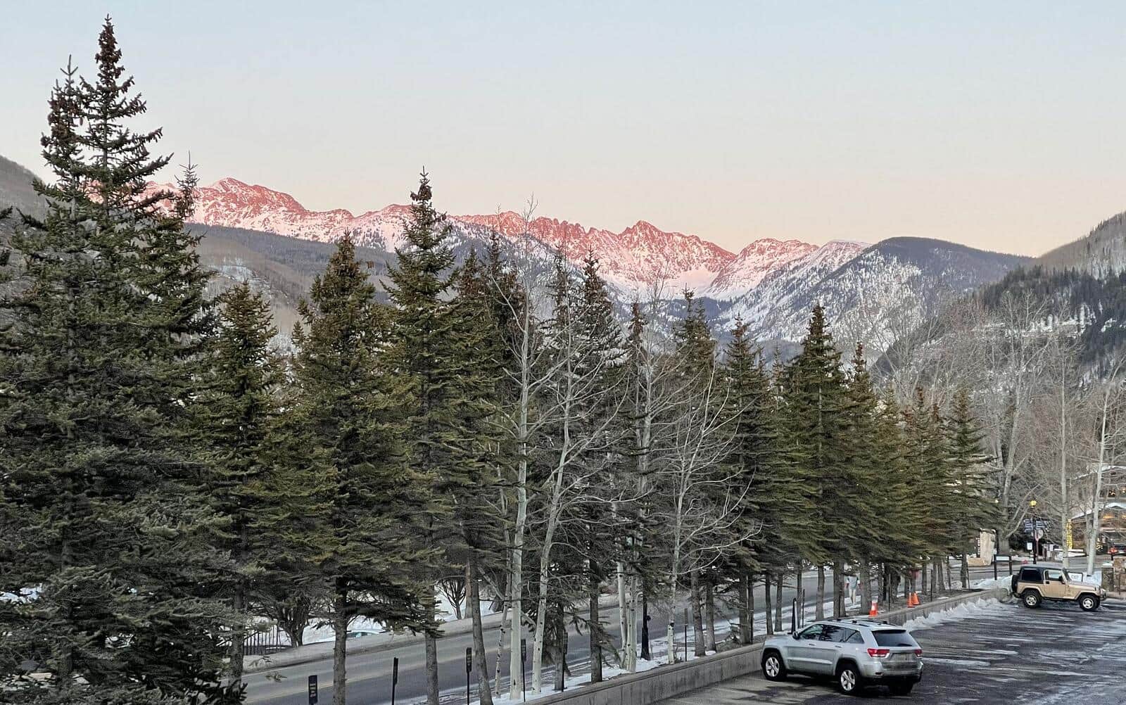
From Vail Pass, climb to a chain of alpine lakes in the Eagles Nest Wilderness. Wildflowers in July, fewer crowds than the Breckenridge-side trails. Lake reflections of the Tenmile Range from the upper lakes.
Lily Pad Lake Trail
Short hike from the Buffalo Cabin Trailhead through pine forest to Lily Pad Lake. Family-friendly, with views of Lake Dillon and the Tenmile Range from the trail. Spring snowmelt brings wildflowers.
McCullough Gulch Trail
Climb past a waterfall into a high alpine basin in the Tenmile Range. The basin holds unnamed alpine lakes with Quandary Peak rising directly above. Short but scenic; popular with Breckenridge locals.
Spruce Creek Trail
Spruce Creek Trailhead is the main approach for Mohawk Lakes and Crystal Peak. The lower trail follows Spruce Creek through aspen and conifer forest before the trail splits. Standard access for multiple destinations.
Mayflower Gulch Trail
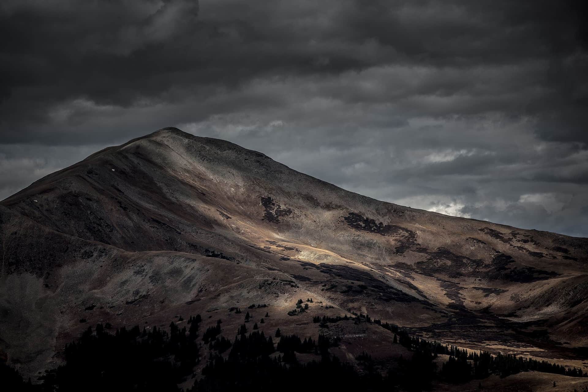
Wide, well-graded former mining road to historic Mayflower Gulch mining ruins. Wildflowers in July, fall colors in late September. Family-friendly and accessible.
Wheeler Trail
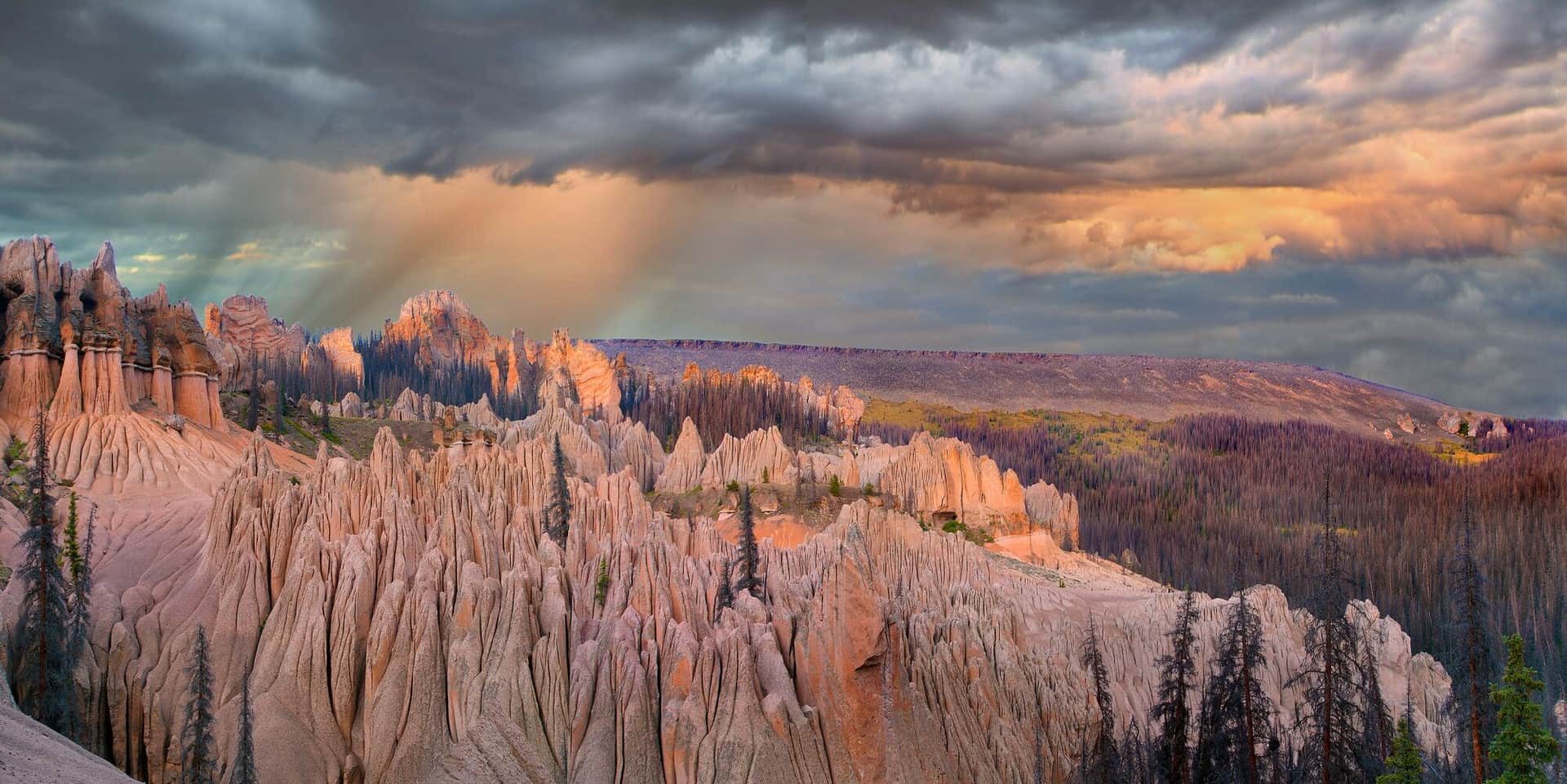
Point-to-point crossing of the Tenmile Range between the Spruce Creek valley south of Breckenridge and Copper Mountain, over a 12,450-foot saddle on the old Wheeler stock driveway. Miles above treeline with the whole range in view. Best as a point-to-point using the free Summit Stage bus for the shuttle.
Lake Constantine Trail
From the Half Moon Trailhead near the Mount of the Holy Cross, climb to Lake Constantine. The lake sits at 11,400 feet below Notch Mountain. Famous alpine lake in the Holy Cross Wilderness.
Buffalo Mountain Trail
Steep climb from Lily Pad Lake area to the summit of Buffalo Mountain at 12,777 feet. The Gore Range's most accessible big summit, with full panorama of Lake Dillon, the Tenmile Range, and the Gore Range itself.
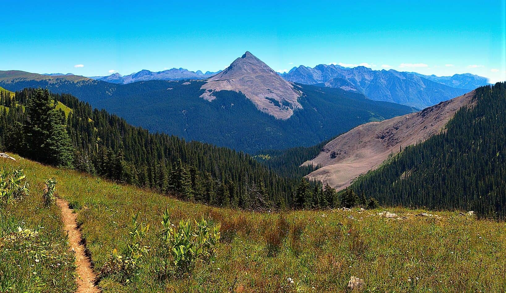
Engineer Mountain Trail
Steep climb from Coal Bank Pass on Highway 550 to the summit of Engineer Mountain. Wildflowers in July, distinctive layered rock formations near the top, and full San Juan panorama from the summit.
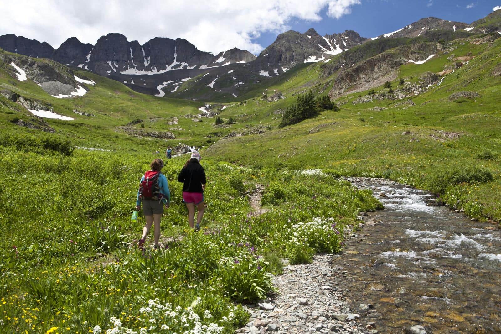
American Basin Trail
One of Colorado's most famous wildflower hikes. The basin explodes with color in mid-July through early August. Trailhead at the end of a rough 4WD road from Lake City. Also the standard start for Handies Peak (14er).
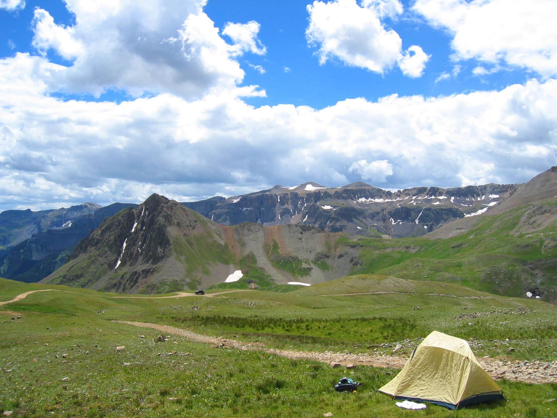
Yankee Boy Basin Trail
Short hike from the Yankee Boy Basin parking area through one of Colorado's premier wildflower basins. Also the standard approach for Mount Sneffels (14er). Best in mid-July when wildflowers peak.
Imogene Pass Trail
Famous Imogene Pass connects Ouray and Telluride at 13,114 feet. Most use it as a 4WD road, but hikers and runners do it as a brutal mountain pass crossing. The Imogene Pass Run is held here every September.
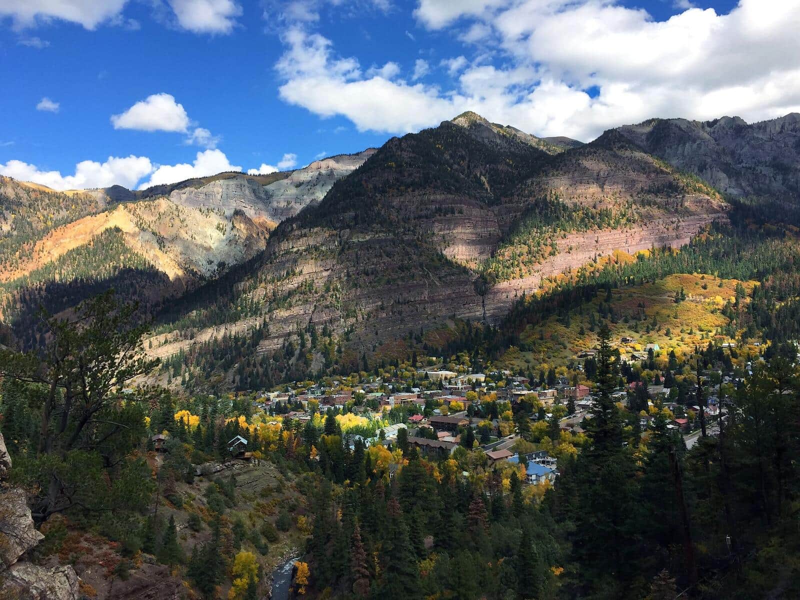
Ouray Perimeter Trail
Loop around the town of Ouray with views down to the streets and out to the surrounding peaks. Passes Cascade Falls, Box Canyon, and a series of viewpoints. The classic Ouray locals' hike.
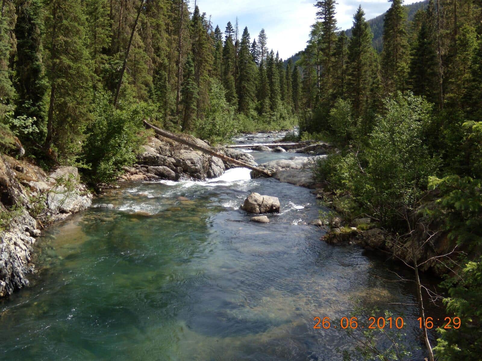
Vallecito Creek Trail
Day-hike or backpack approach into the southern Weminuche Wilderness following Vallecito Creek. Less crowded than the Pine River. Excellent for shorter day-hikes from the Vallecito Reservoir area.
Mount Sanitas Trail
The most popular Boulder trail. Steep climb up Mount Sanitas with city views the whole way, then a faster descent on the East Ridge Trail. Reliably crowded mornings and evenings.
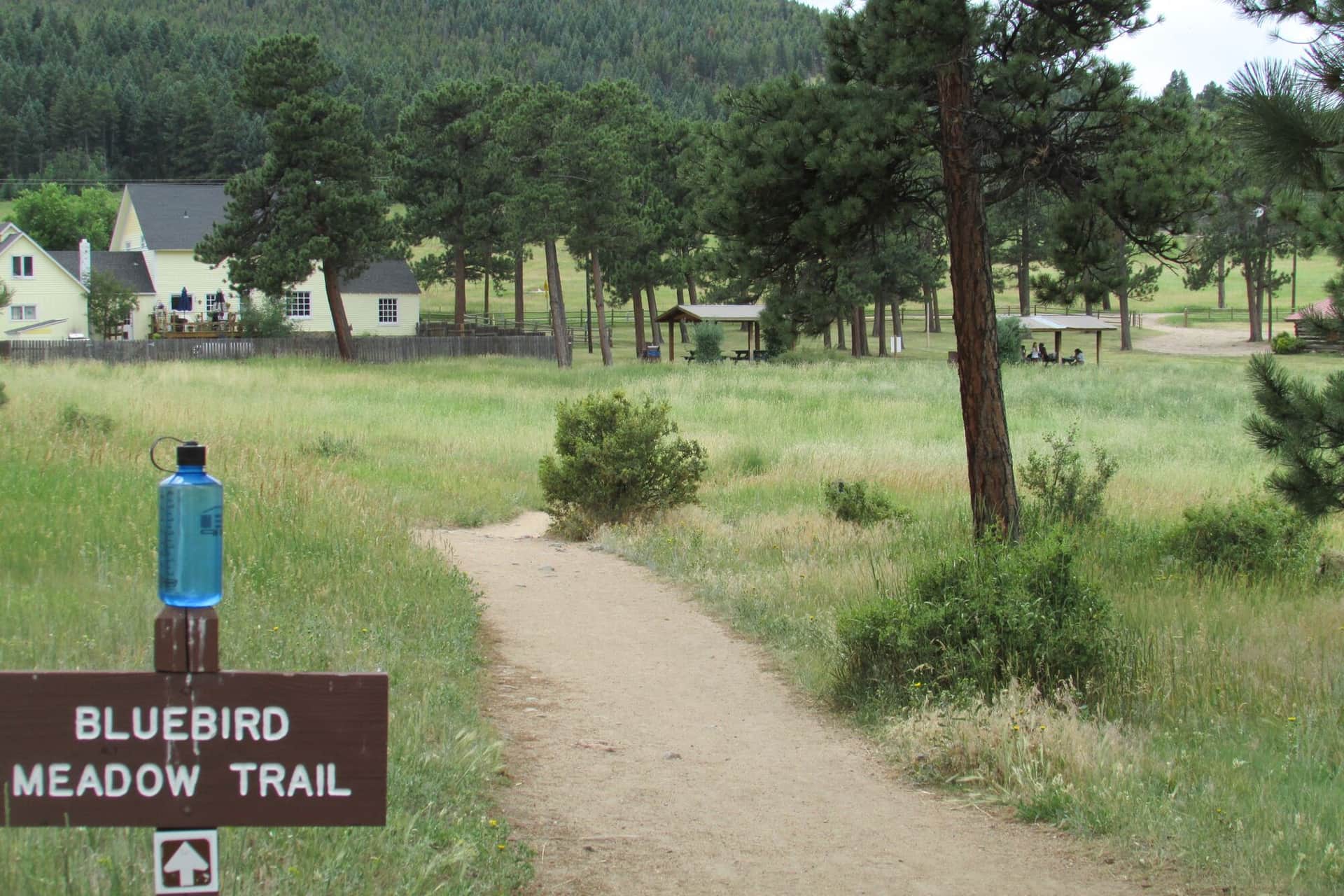
Three Sisters Trail at Alderfer
Easy loop through Alderfer/Three Sisters Park in Evergreen with three rock-formation summits. Family-friendly with multiple short loop options.
Mesa Trail
The classic Boulder Open Space trail running along the base of the Flatirons. Can be done as a point-to-point with shuttle or sections out-and-back. Multiple side trails branch up to Bear Peak, Green Mountain, and Royal Arch.
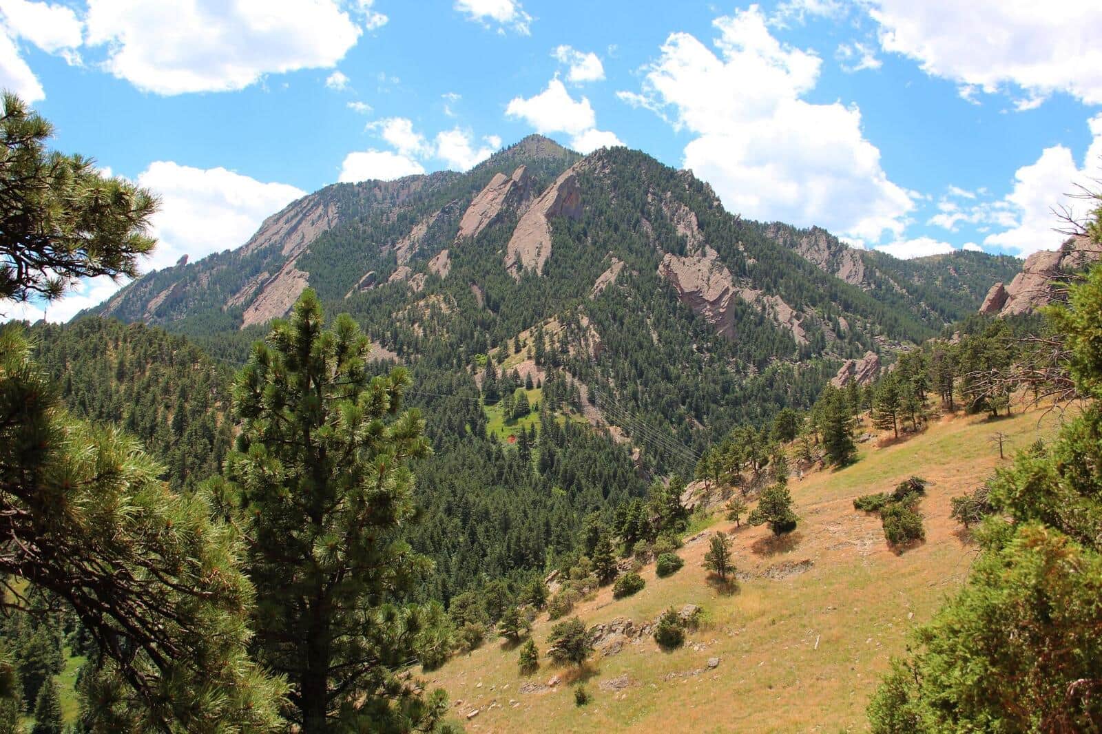
Bear Peak Trail
Steep Boulder summit climb via Fern Canyon or West Ridge. Summit views span the entire Boulder Valley and out to the plains. Local conditioning hike for Front Range mountaineers.
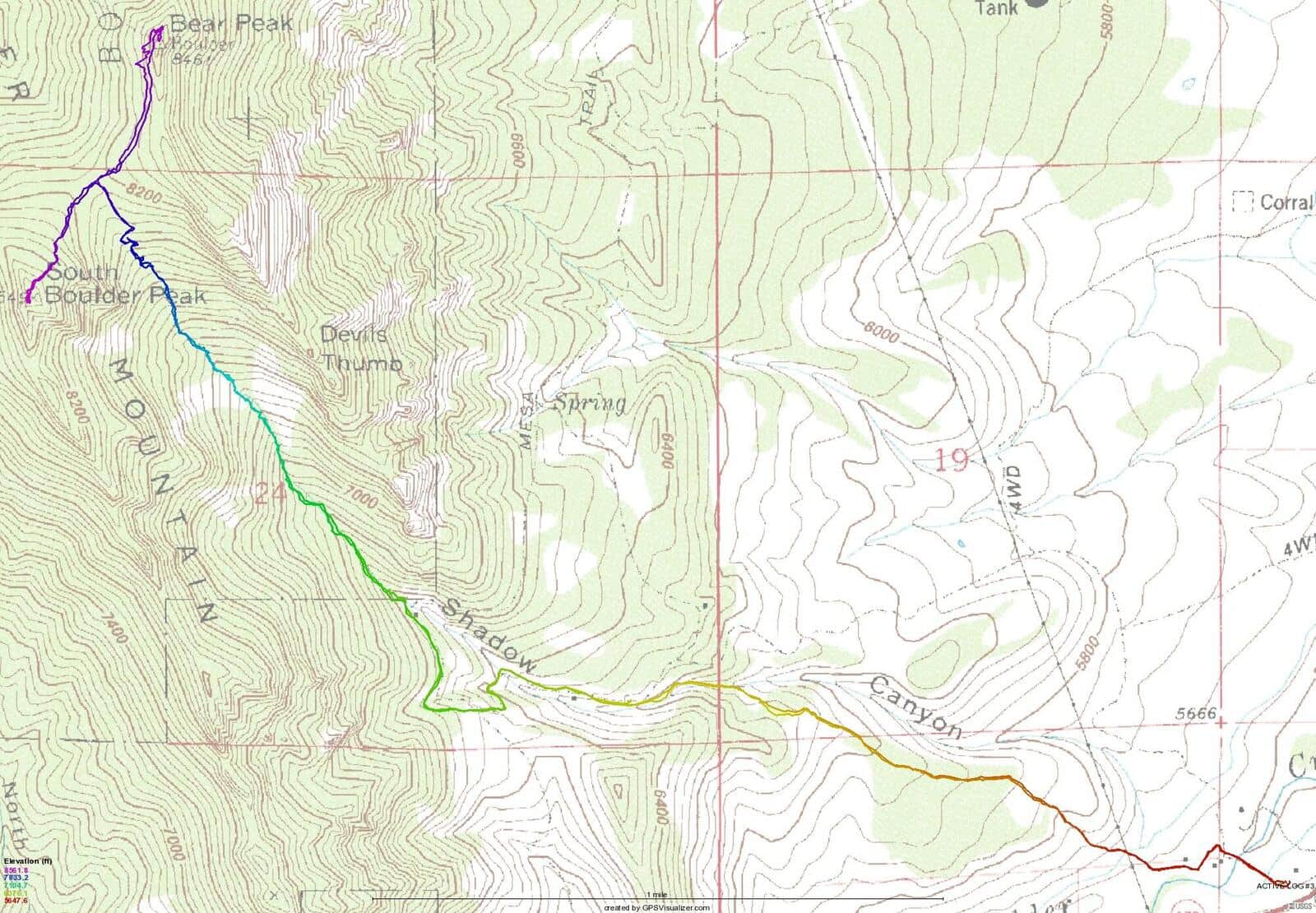
South Boulder Peak Trail
Boulder's highest summit at 8,549 feet. The Shadow Canyon route is the most direct but steep on loose talus. Often combined with Bear Peak for a two-summit day.
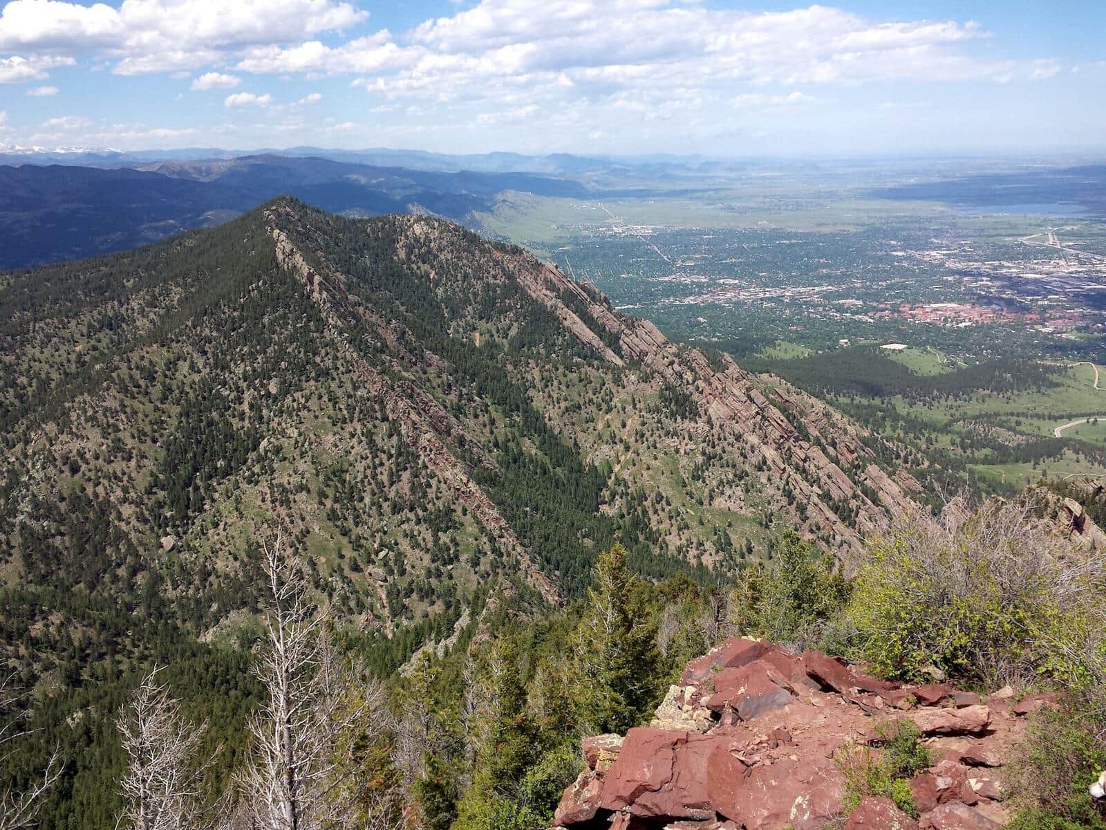
Green Mountain Trail (Boulder)
Steep summit hike from Gregory Canyon Trailhead to the top of Green Mountain. Multiple route options (Saddle Rock, Gregory Canyon, EM Greenman). Summit views over the Flatirons and Indian Peaks.
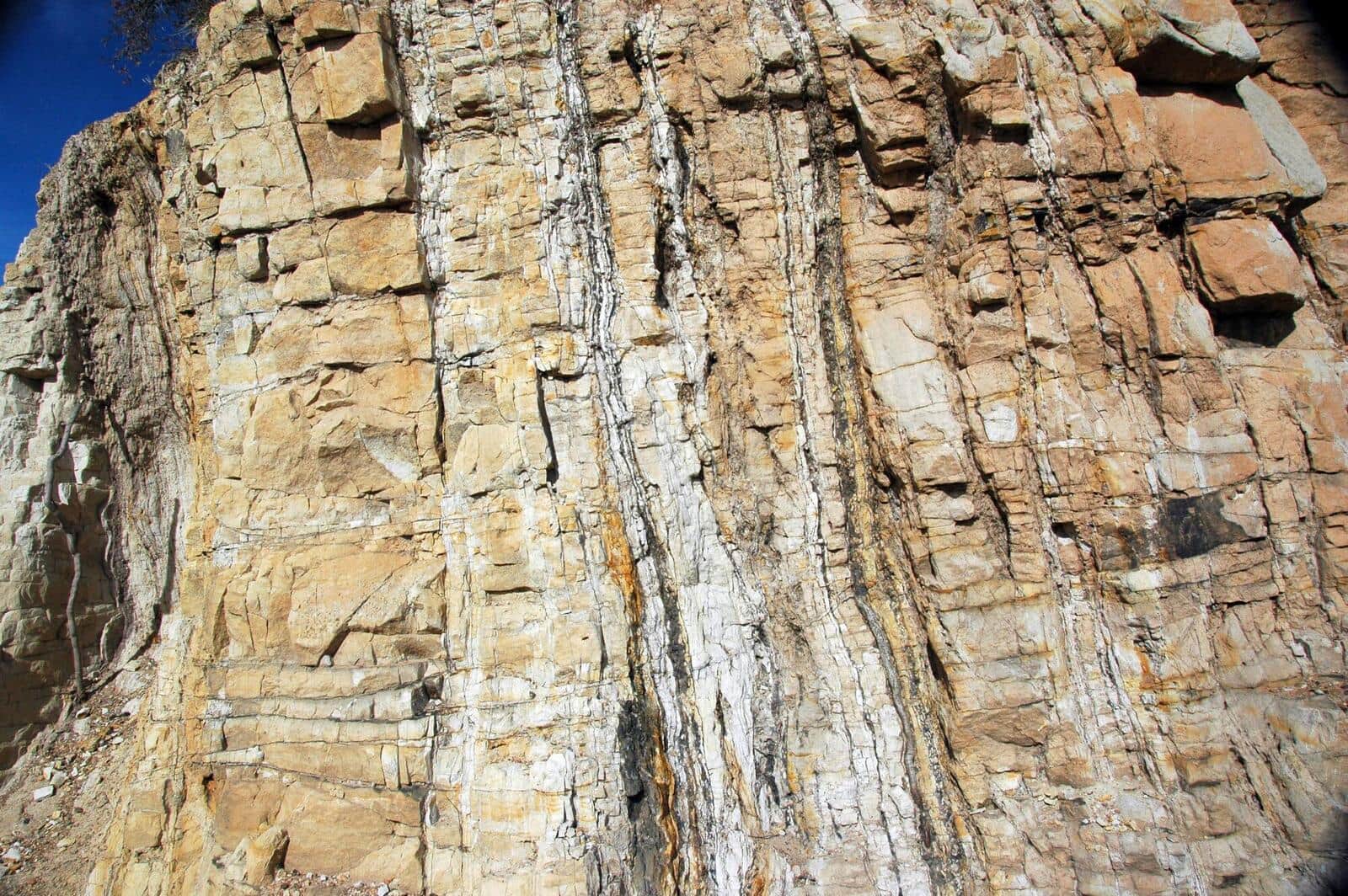
Picture Rock Trail
Connector trail between Heil Valley Ranch and Lyons. Open meadows, rolling terrain, mountain bike popular. Can be done as a point-to-point or shorter out-and-back.
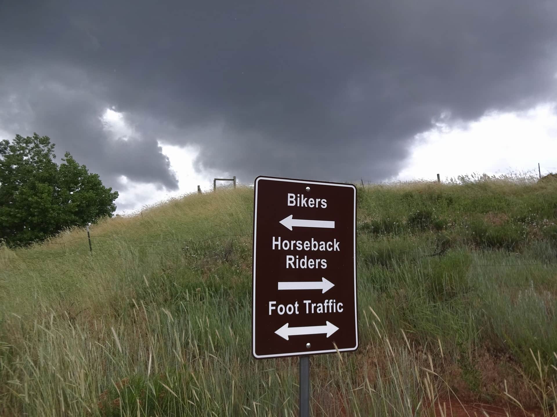
Devils Backbone Trail
Larimer County natural area with iconic rock formation hiking. The 'Keyhole' is the photo destination — a window through the sandstone formation. Family-friendly with stroller access on the lower section.
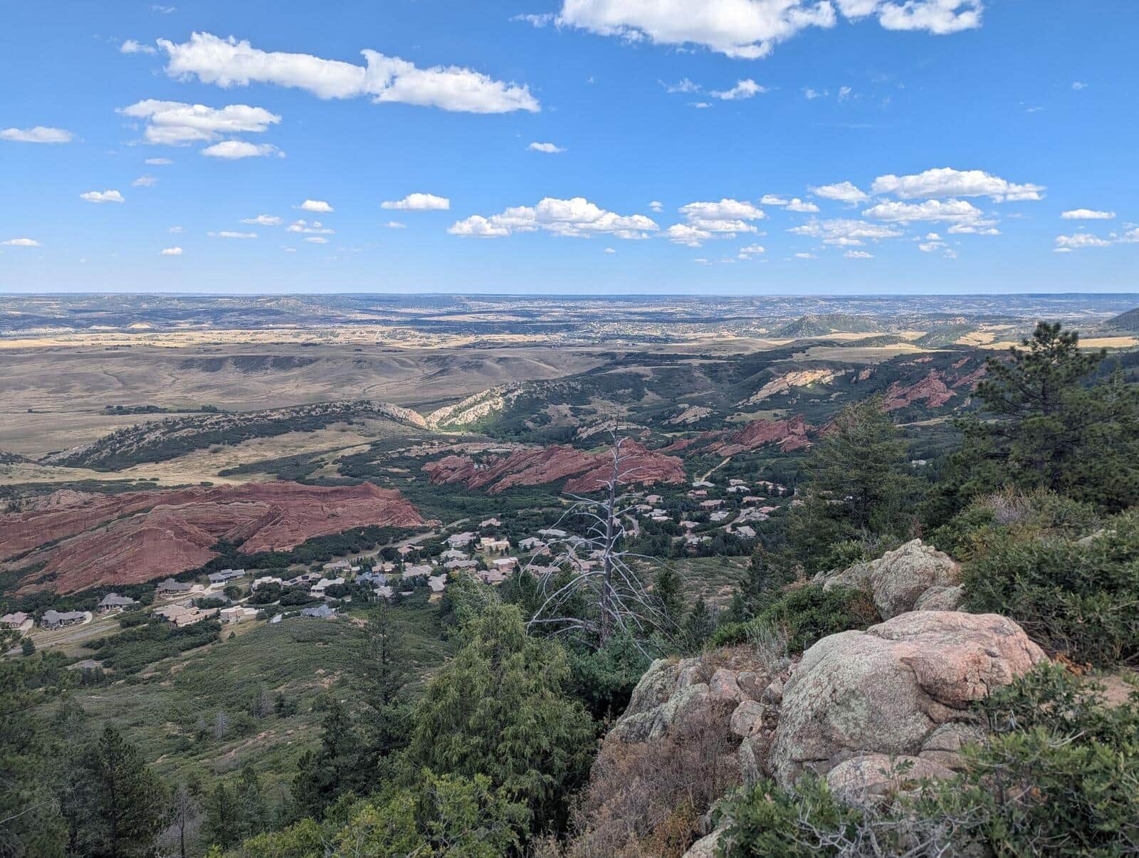
Carpenter Peak Trail
Steep climb to the highest summit in Roxborough State Park. Sandstone red rock formations on the lower half, then a forested climb to a 7,205-foot summit with views back to Denver.
Lost Lake Trail
From the Hessie Trailhead, climb through aspen and pine to Lost Lake, a small alpine lake. No pass or permit is needed, but Hessie parking is tiny and fills before dawn in summer; Boulder County runs a free shuttle from Nederland on summer Fridays, weekends, and holidays, no reservation needed.
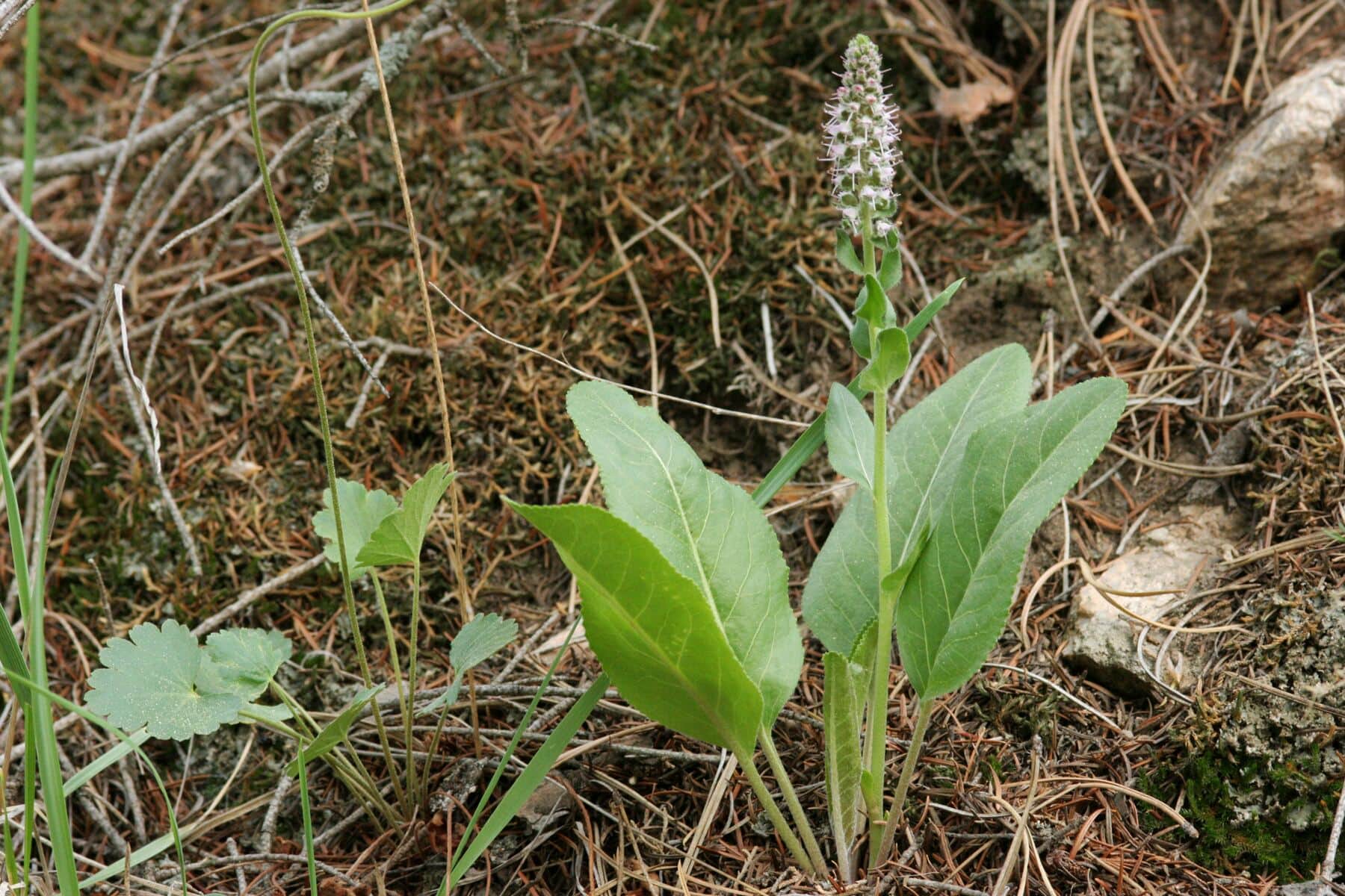
Crosier Mountain Trail
Steep climb to a forested summit between Estes Park and the plains. The summit has views back to Longs Peak and the Mummy Range. Quiet alternative to RMNP destinations.
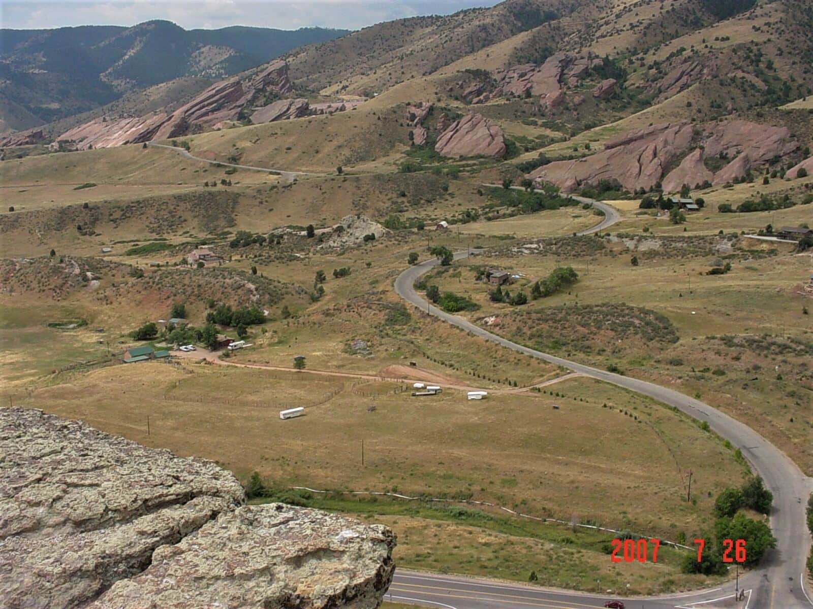
Mount Morrison Trail
Steep summit hike from Red Rocks Park to the top of Mount Morrison. Short but unrelenting climb, with views over Red Rocks Amphitheater and Denver. Brutal training hike for fitness.
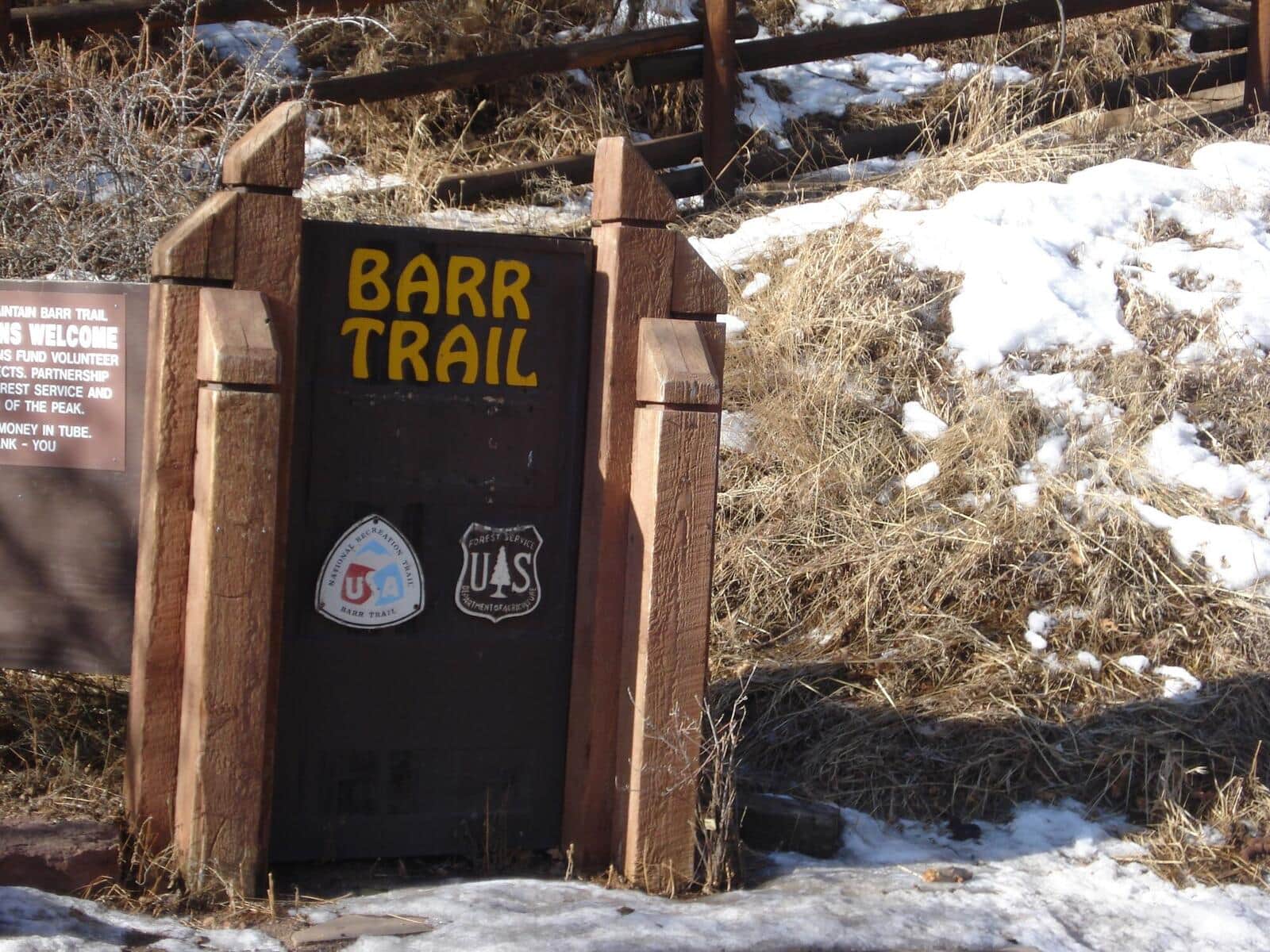
Barr Trail
The classic 13-mile foot-trail from Manitou Springs to the summit of Pikes Peak. Climbs through ponderosa forest, past Barr Camp at the midpoint (a popular overnight stop), into the high alpine, and up to the 14,115-foot summit. The longest standard-route 14er trail in Colorado.
Siamese Twins Trail
A short loop in the southern half of Garden of the Gods to the Siamese Twins, twin sandstone columns with a natural window that frames Pikes Peak when conditions are right. Crowded at sunrise and sunset for the photo.
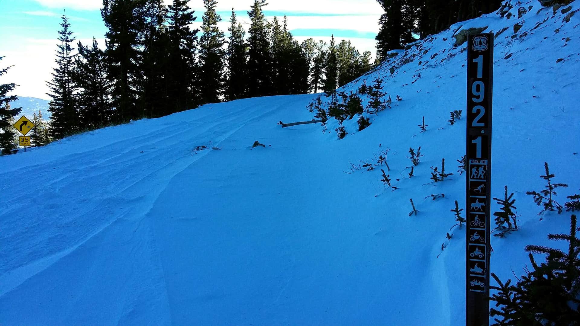
Arapaho Pass Trail
Steep climb from the Fourth of July Trailhead to Arapaho Pass on the Continental Divide. Wildflowers in July, lingering snow into August, and big views down to Lake Granby on the west side. Connects to Caribou Lake and Diamond Lake for longer days.
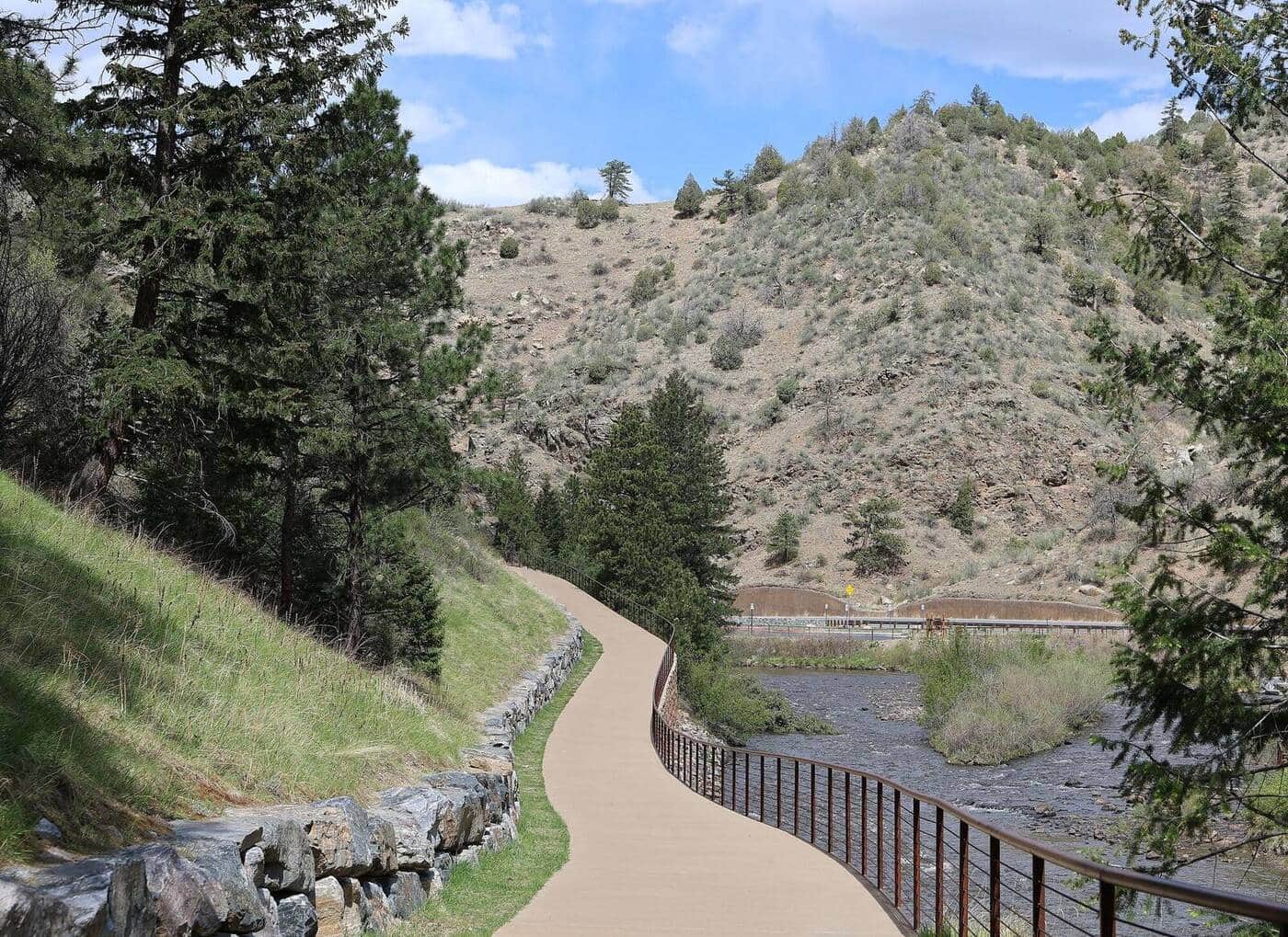
Big South Trail
Long river trail into the Comanche Peak Wilderness following the Big South Fork of the Cache la Poudre. Aspen and conifer forest, granite slabs above the river, and strong fall color in late September through the 2020 Cameron Peak burn. Suitable as a day hike to about mile 4 or as an overnight backpack.
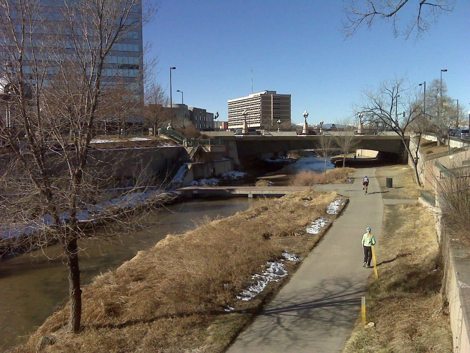
Berry Creek Trail
Local Vail Valley trail from Edwards climbing through pine and aspen forest along Berry Creek. Popular with mountain bikers in summer; quieter for hikers in shoulder seasons. Connector to the broader USFS trail system above Vail.
Crystal Peak Trail
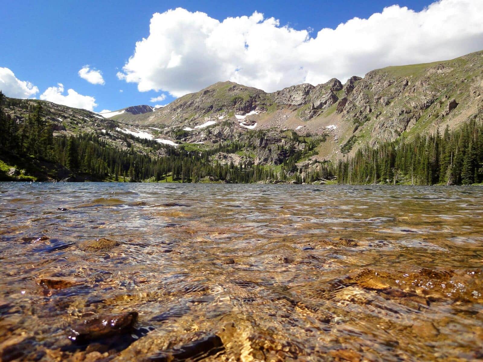
Climb a high 13er in the Tenmile Range from the Spruce Creek Trailhead. Trail goes past Mohawk and Mayflower Lakes before turning up the south slopes to the summit. Excellent acclimatization climb for those preparing for 14ers.
Lovell Gulch Trail
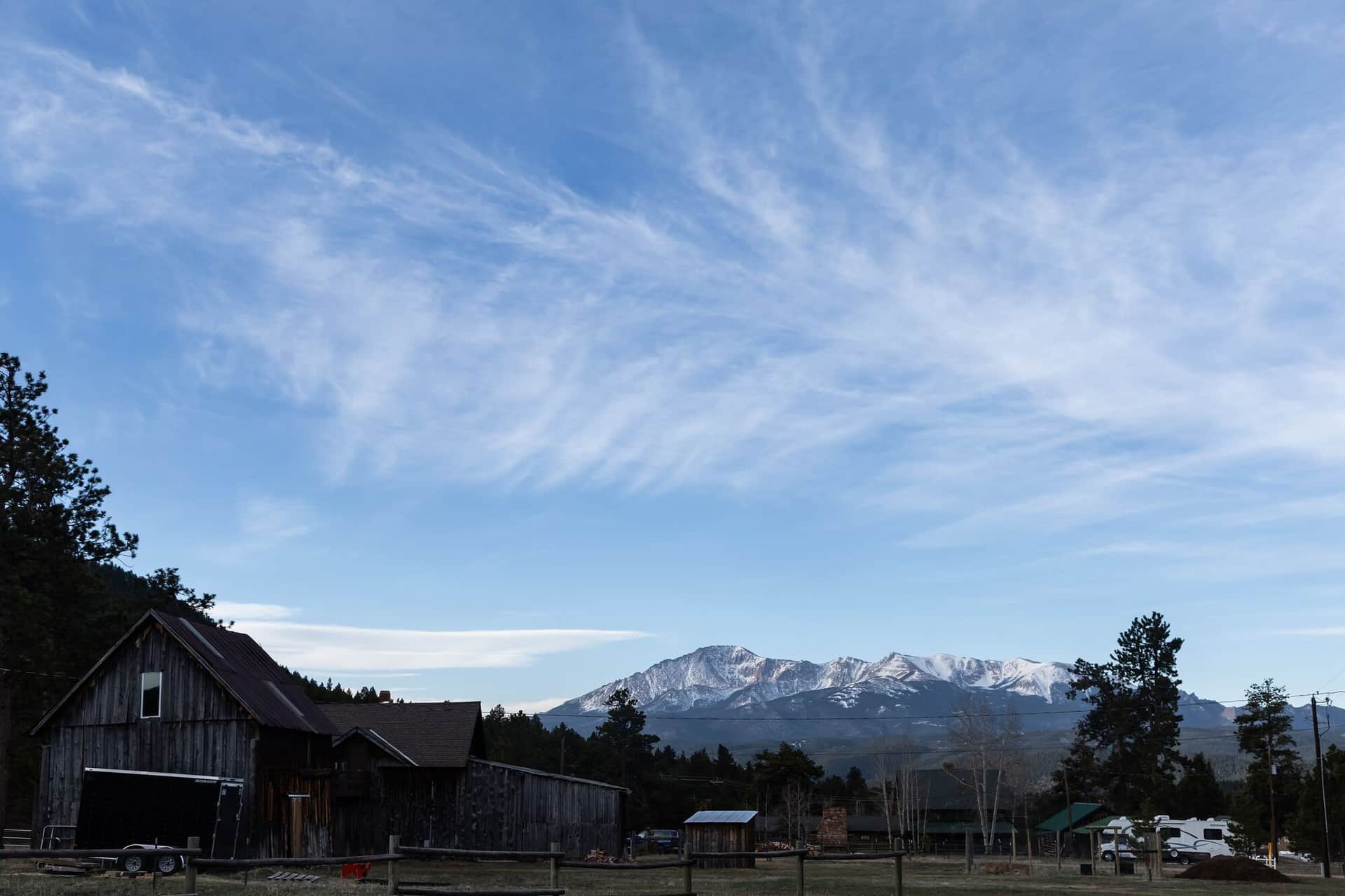
Forested loop in the hills above Woodland Park with views of the Pikes Peak massif from the upper ridges. Multiple trail intersections allow shorter or longer loop options. Popular with Colorado Springs locals avoiding the Manitou crowds.
Hunter Creek Trail
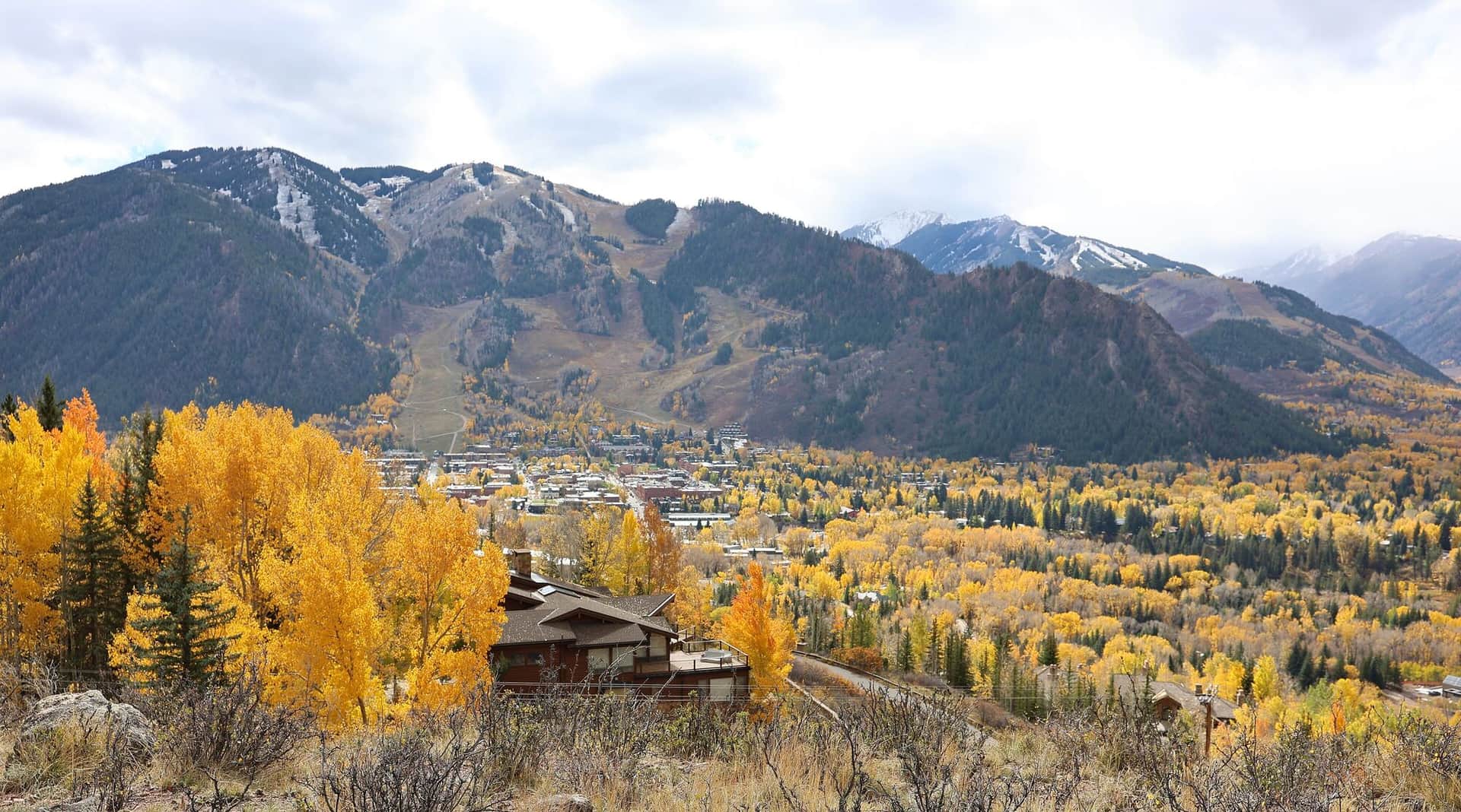
Hunter Creek Valley trail starting from the east end of Aspen. Climbs through aspen and conifer forest along Hunter Creek to a high meadow with views back to Aspen Mountain. Popular with locals for after-work jogs and dog walks.
Mount Falcon Park Castle Trail
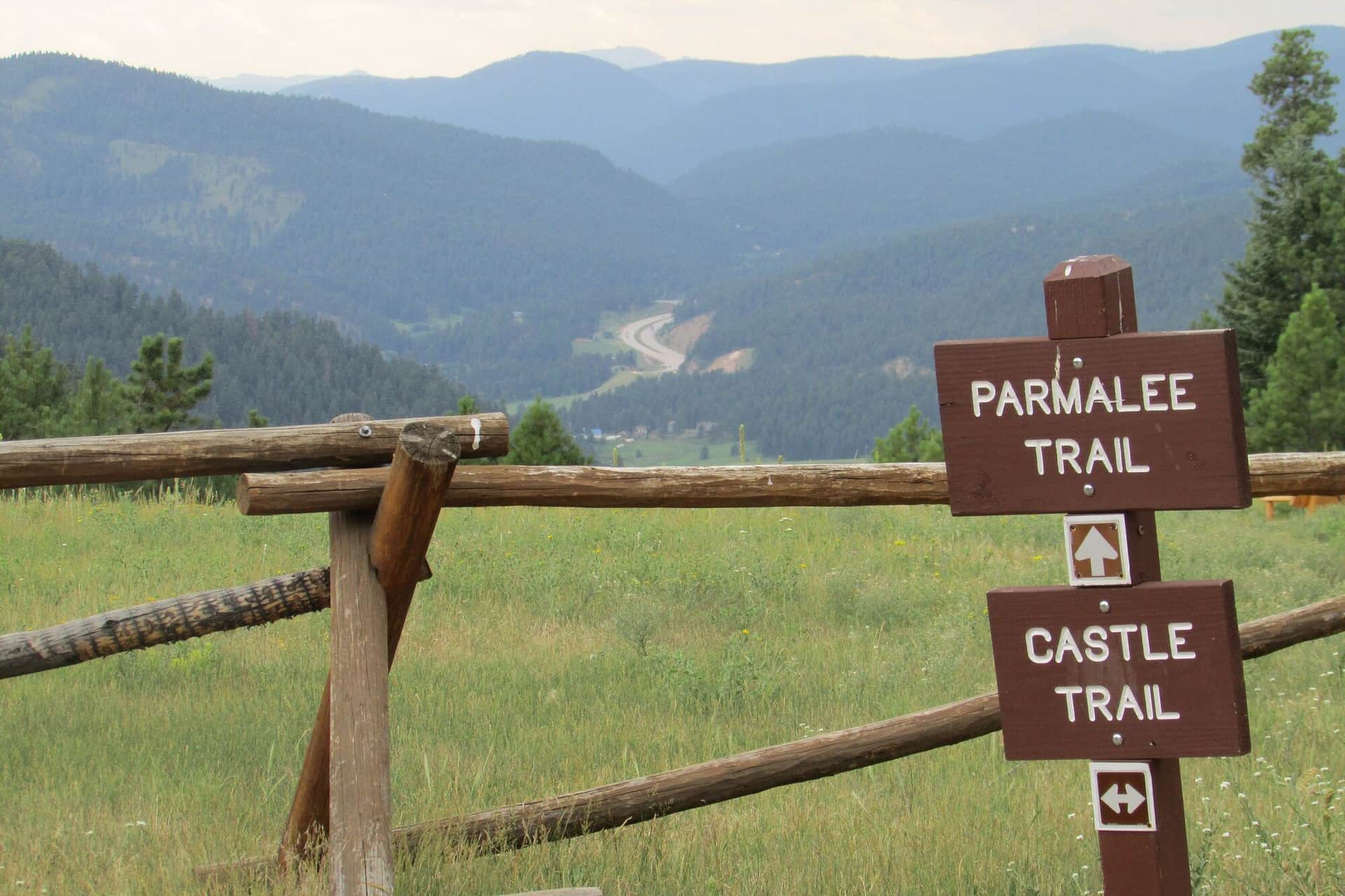
A loop hike through Denver Mountain Parks land with views of Red Rocks, the Front Range, and the Denver skyline. The ruins of John Brisben Walker's stone castle anchor the upper section.
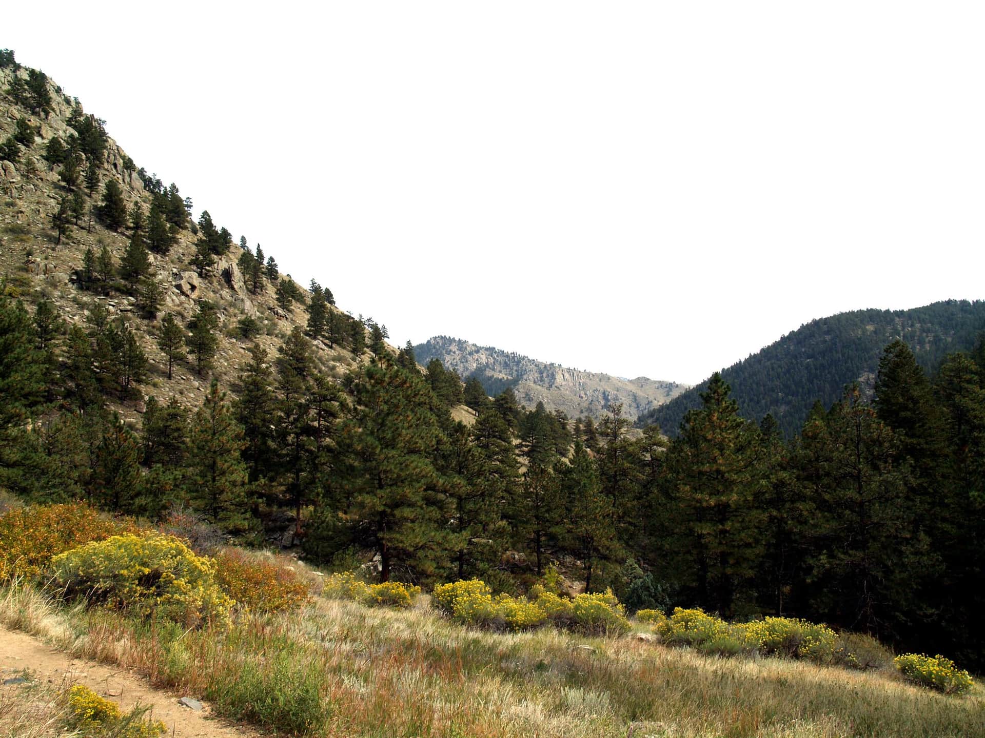
Greyrock Mountain Trail
A challenging climb up to the granite dome of Greyrock in the Cache la Poudre canyon. The final scramble to the summit lake rewards with one of the best views in northern Colorado.
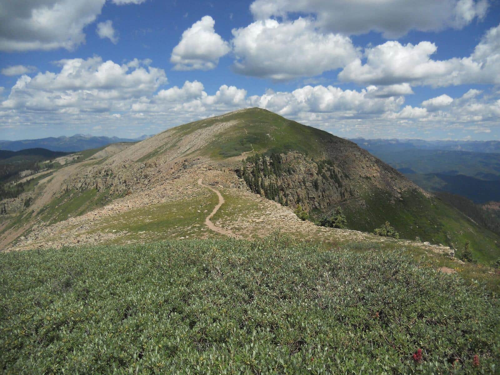
Hermosa Creek Trail
Long valley trail through the Hermosa Creek Wilderness, popular as a backpack or a mountain-bike shuttle. Hikers usually do a 6-10 mile out-and-back from either trailhead. Aspens turn early September.
Mount Massive (East Slopes)
Colorado's second-highest peak via the Colorado Trail approach from the Mount Massive Trailhead. Long, sustained climb through forest to alpine tundra and a broad summit ridge. Less crowded than Elbert across the valley.
Mount Harvard (South Slopes)
Third-highest peak in Colorado via the long but non-technical North Cottonwood Creek approach. Often combined with Mount Columbia for a brutal double-summit traverse. Plan for a 10+ hour day.
Mount Yale (Southwest Slopes)
Popular Collegiate Peak with a steep but straightforward Class 2 standard route from the Denny Creek Trailhead. The summit views span the Arkansas Valley and the rest of the Collegiate Peaks.
Mount Princeton (East Slopes)
Class 2 route that starts on a rough 4WD road. High-clearance vehicles can drive partway, otherwise add 6 miles of road walking. The upper mountain is a wide, talus-covered ridge.
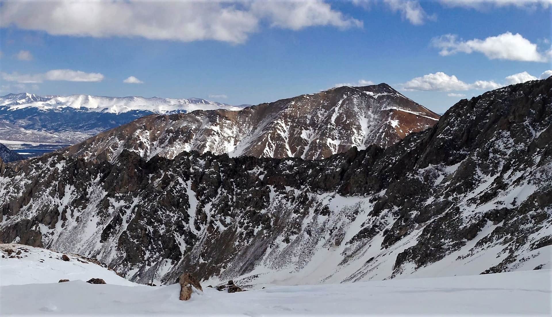
La Plata Peak (Northwest Ridge)
Colorado's 5th highest peak with a Class 2 standard route from the South Fork Lake Creek Trailhead. Steep, sustained climb on a well-defined trail. One of the most accessible Sawatch 14ers.
Missouri Mountain (Northwest Ridge)
Class 2 route from Missouri Gulch with a narrow but non-technical summit ridge. Often combined with Belford and Oxford for a triple 14er day from the same trailhead.
Mount Antero (West Slopes)
Famous for aquamarine mining at high elevation. Long approach via 4WD road, then steep alpine route. High-clearance vehicles can shorten the day significantly.
Mount Shavano and Tabeguache Peak
Class 2 double 14er from Blank Gulch Trailhead. Shavano comes first; Tabeguache requires a 500-foot drop and re-climb. The Angel of Shavano snow couloir is visible from town in spring.
Huron Peak (Northwest Slopes)
Often called the most scenic Sawatch 14er. Class 1-2 route from the Huron Peak Trailhead through alpine meadows. Views of the Three Apostles (13ers) from the summit are spectacular.
Mount of the Holy Cross (North Ridge)
Named for the cross-shaped snow couloir visible in spring. Standard route crosses Half Moon Pass (twice: once on the way in, once on the way out), making this one of the harder 14er days for the distance.
Mount Sherman (Southwest Ridge)
Shortest standard route on any 14er. Trailhead at 12,000 feet, summit at 14,036 feet. Mining history visible along the route. Excellent first 14er for fit hikers from a high starting altitude.
Crestone Peak (South Face)
One of Colorado's toughest 14ers. Class 3 South Face route from South Colony Lakes. Solid conglomerate rock, real exposure, and a long approach. Helmet required.
Crestone Needle (South Face)
Famous Class 3 line up the south face from Broken Hand Pass. Tight gully route requires solid scrambling skill and helmet. Pair with Crestone Peak for the classic traverse.
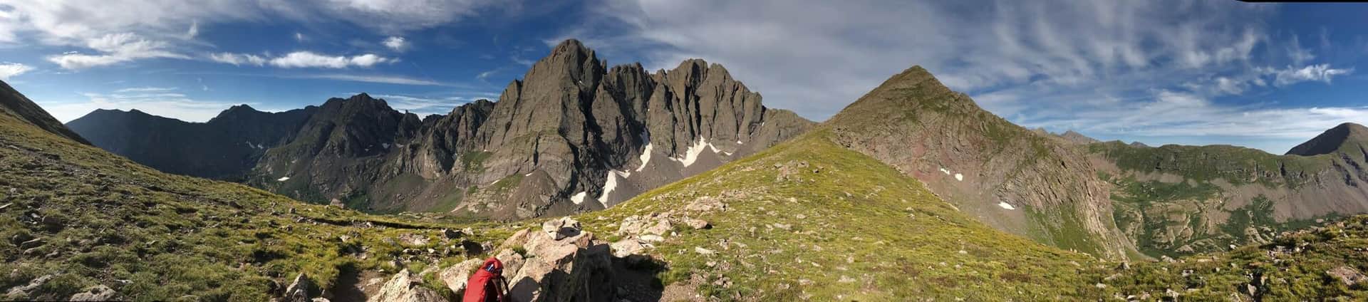
Humboldt Peak (West Ridge)
Easiest 14er in the Sangres at Class 2. Standard route from South Colony Lakes basin, with stunning views of the Crestones across the cirque. Solid first 14er in the range.
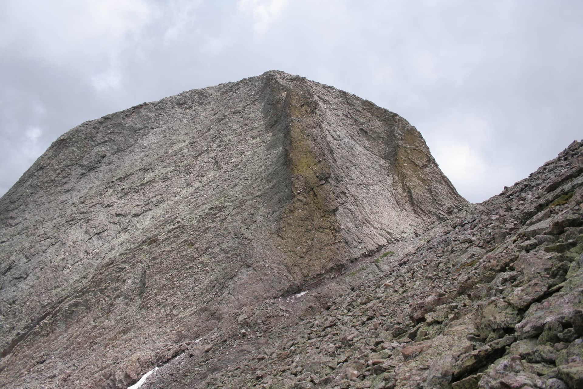
Kit Carson Peak and Challenger Point
Two 14ers in one long day via the West Ridge from Willow Lake. Challenger Point first, then a tricky route-finding section called the Avenue to reach Kit Carson. Class 3.
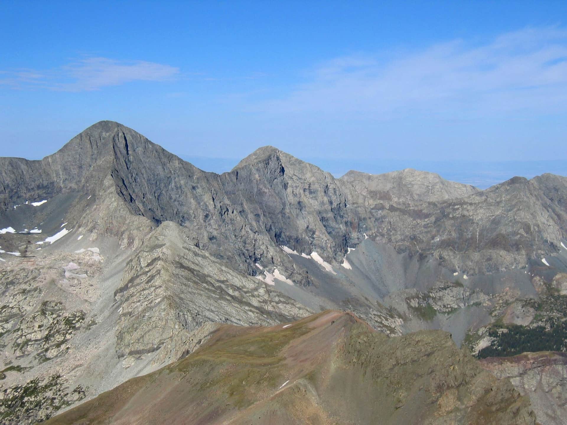
Blanca Peak and Ellingwood Point
Two 14ers in the Blanca Massif. Lake Como Road is one of the roughest 4WD approaches in Colorado; most hikers start lower and add miles. Class 2 once on the peaks.
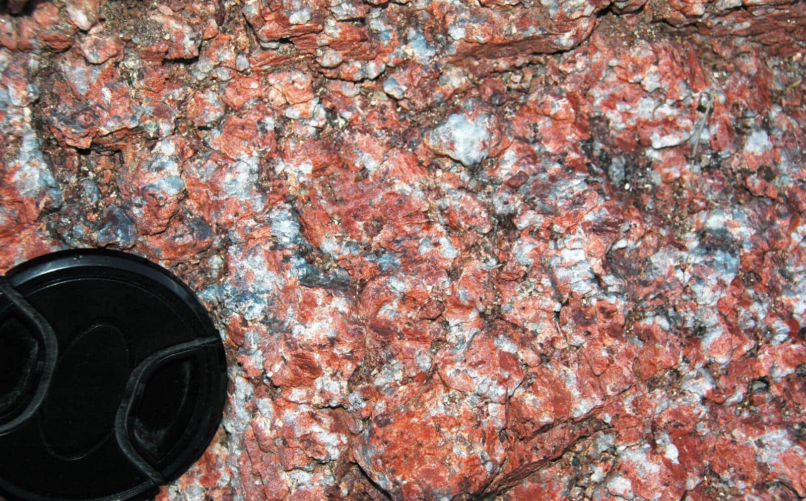
Red Mountain Trail (Manitou Springs)
Short, steep summit hike from downtown Manitou. Views over Manitou Springs and out to Pikes Peak. Less crowded alternative to the Incline.
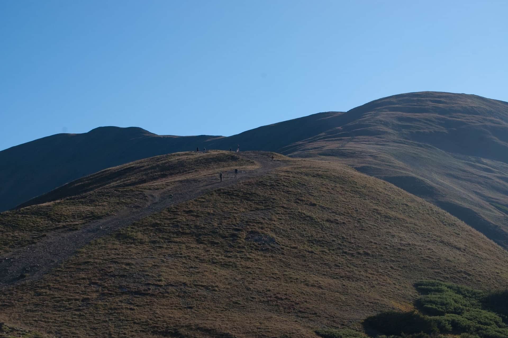
Grizzly Creek Trail
Closed beyond the first 0.3 mile as of September 2026 under a Forest Service order while fire and flood damage is repaired. Follows Grizzly Creek up Glenwood Canyon. Wildflowers, beaver ponds, and a quiet alternative to Hanging Lake. Check the White River National Forest alerts page before going.
Boy Scout Trail
Local favorite uphill grind that ends at a viewpoint over Glenwood Springs and the confluence of the Colorado and Roaring Fork. Steep but short.