Service Creek Trail
Flat Tops Wilderness • Phippsburg, Colorado
Overview
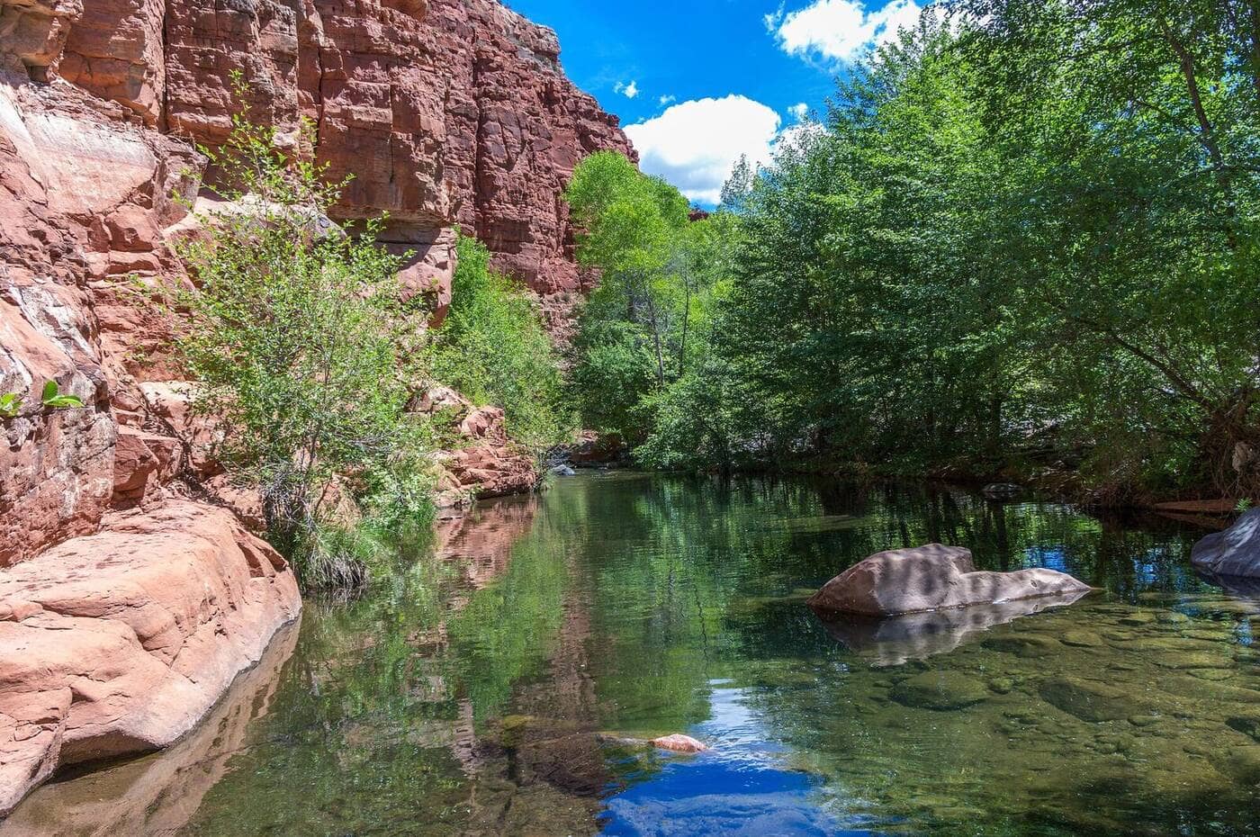
Service Creek, spelled Sarvis Creek on the wilderness signs and most newer maps, is a low-elevation trail through aspen and lodgepole along a trout stream east of Stagecoach Reservoir, in the small Sarvis Creek Wilderness south of Steamboat Springs. It opens weeks before the high country and is the place to hike in May and early June, or in October when the passes are snowed in.
Trail Highlights
The Route
From the trailhead at the south end of Stagecoach Reservoir, the trail heads east up the Sarvis Creek valley. The first mile crosses open sage and meadow, then the valley narrows and the trail settles into a pattern of aspen groves, lodgepole, and streamside meadows, climbing gradually and crossing side creeks on logs and rocks.
The wilderness boundary is about a mile in. The trail runs 12.4 miles in all, crossing Sarvis Creek on a bridge at 2.3 miles and climbing through the 2018 Silver Creek Fire burn near the top to the Upper Sarvis Creek trailhead at Buffalo Park, but a day hike turns around wherever it suits: the meadows around 3.5 miles, at about 9,500 feet, are the usual choice for the 7-mile round trip. The grade is never steep.
Getting to the Trailhead
From Steamboat, drive south on Colorado 131 through Oak Creek and 2 more miles to County Road 14, turn left at the Stagecoach State Park sign and follow it 5.4 miles, turn right on County Road 16 toward the park, stay left before the pay station and head toward the dam, continue 3.6 miles on County Road 18, and turn right on County Road 18D to the trailhead in the Sarvis Creek State Wildlife Area. The last stretch is gravel. County Road 18 is subject to seasonal closures, which can add road walking early in the season; check the Routt County road page before a spring trip. The trailhead is inside the Sarvis Creek State Wildlife Area, so everyone 16 and older needs a valid Colorado hunting or fishing license or a State Wildlife Area pass to park there; the trail itself needs no permit.
Best Time to Hike
This is a shoulder-season trail. The lower valley is usually clear of snow by early May and hikeable through October, and the aspen turn in the third and fourth weeks of September. In midsummer it is hot in the open stretches and the creek is the attraction. Winter access depends on the road being plowed to the reservoir; the trail is skiable but rarely tracked. The valley gets afternoon storms in July and August like everywhere else, but it is all below treeline.
Good to Know
Dogs are allowed; keep them leashed or under immediate voice control in the wilderness, the Routt National Forest's standard. Kids handle the grade easily and the creek gives them something to do. Moose, deer, and elk use the valley; the 1997 blowdown and later beetle kill left standing dead trees along the trail, so do not linger under them in wind. Sarvis Creek is a good small-stream fishery for brook and cutthroat trout with a Colorado license. Stagecoach State Park, across the reservoir, has a campground and a state parks fee; Oak Creek has a gas station and a diner. The Steamboat Springs hikes page lists the trails in town.
Sources
Figures and access details on this page were checked against these pages on 2026-09-04. Conditions change; confirm with the managing agency before you go.
Who to call
Conditions, closures, permits, and anything left behind on Service Creek Trail.
- Managed by
- Yampa Ranger District, Medicine Bow-Routt National Forests
(970) 638-4516 (Yampa) · website - Lost and found, non-emergency
- Routt County Sheriff's Office
(970) 870-5563 (lost and found), non-emergency (970) 879-1090 · websiteFound property goes through the Property and Evidence Division. - Emergency
- 911. Cell coverage is patchy on most of these trails; a text to 911 can get through where a call cannot.
Numbers checked 2026-10-04. Colorado United is an independent guide, not the land manager; wallets, keys, and dogs found on the trail go to the offices above.
What to Pack
Gear guides for this kind of hike:
Frequently Asked Questions
How long does the Service Creek Trail take?
Most hikers finish the 7-mile route in about 4 hours, plus stops. Allow extra time at altitude and for photos.
How hard is the Service Creek Trail?
It is rated moderate, with 1,200 feet of gain over 7 miles and a high point of 9,500 feet. Expect a real workout but no technical sections.
Is the Service Creek Trail dog-friendly?
Yes, leashed dogs are allowed. Pack water for them and clean up after them.
When is the best time to hike the Service Creek Trail?
The best seasons are spring, summer, and fall. Start early to beat both the crowds and Colorado's afternoon thunderstorms.
Do I need a pass or permit for the Service Creek Trail?
No pass or permit is required to park, though popular lots still fill early on summer weekends.
Planning a Colorado trip? Get our packing checklist.
Free PDF + a weekly note on the best trails for the current season.
We respect your inbox. Unsubscribe anytime.
Trail Information
Nearby Trails in Flat Tops Wilderness
Connected pages
- Hikes near Steamboat Springs
All curated trails in the Steamboat Springs area.
- Hiking in the Flat Tops Wilderness
Regional trail guide.
Discover More Trails
Browse our complete directory of Colorado hiking trails with detailed guides and filters.
View All Trails