Hiking in the Front Range
The Front Range is the wall of foothills and peaks that Denver, Boulder, Fort Collins, and Colorado Springs sit against, which makes it the most hiked ground in Colorado and the easiest to reach without a full day of driving.
33 trail guides in the Front Range
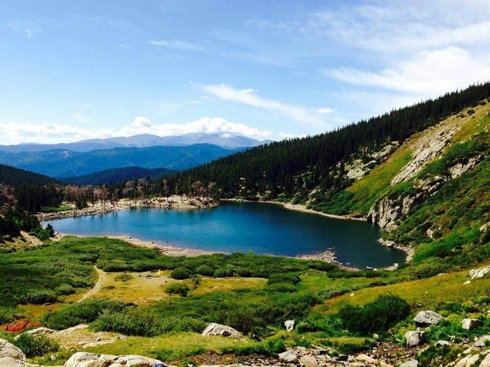
St. Mary's Glacier
A short but steep hike to Colorado's most accessible glacier. The trail leads to St. Mary's Lake and continues to the permanent snowfield above.
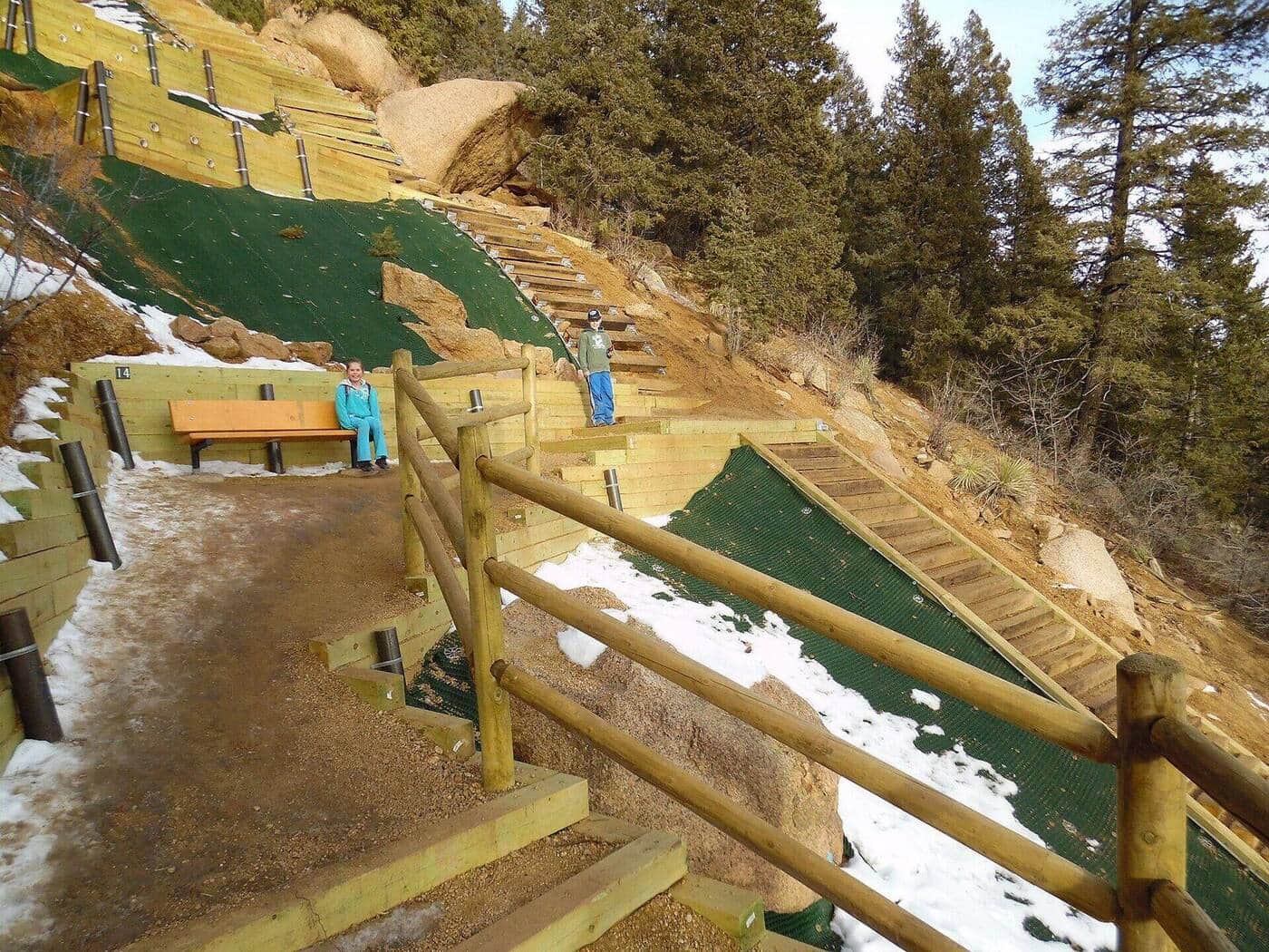
Manitou Incline
One of Colorado's most famous workouts. Roughly 2,768 railroad-tie steps gain 2,000 feet in under a mile on the old cable railway bed. A free online reservation is required year-round. Descend via Barr Trail to complete the loop.
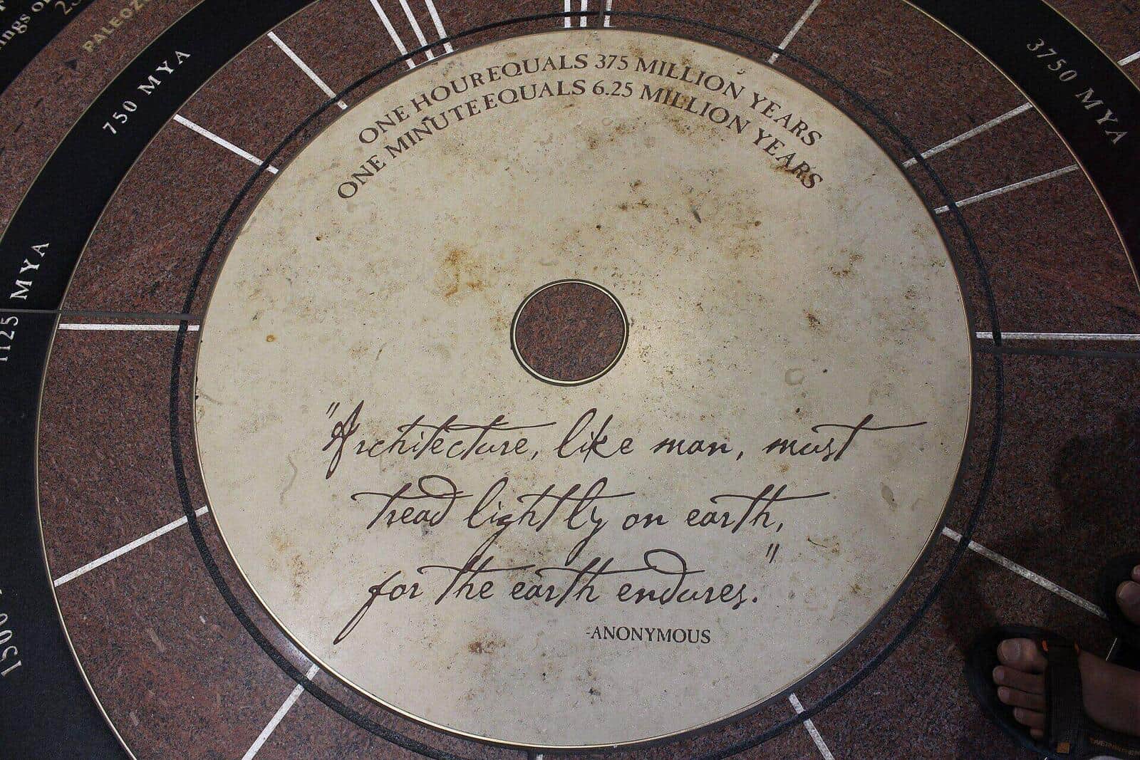
Perkins Central Garden Trail
The paved 1.1-mile loop at the heart of Garden of the Gods. Wheelchair and stroller accessible, with the closest views of the Cathedral Spires, Three Graces, and Sleeping Giant formations.
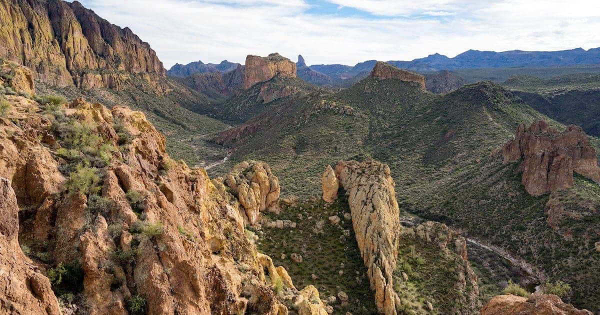
Royal Arch Trail
A popular Boulder hike from the Chautauqua Park trailhead leading to a natural sandstone arch with stunning views of the city and Flatirons. The upper half involves stair-steps and short Class 2 scrambling, so older kids handle it well; younger kids may find it tough.
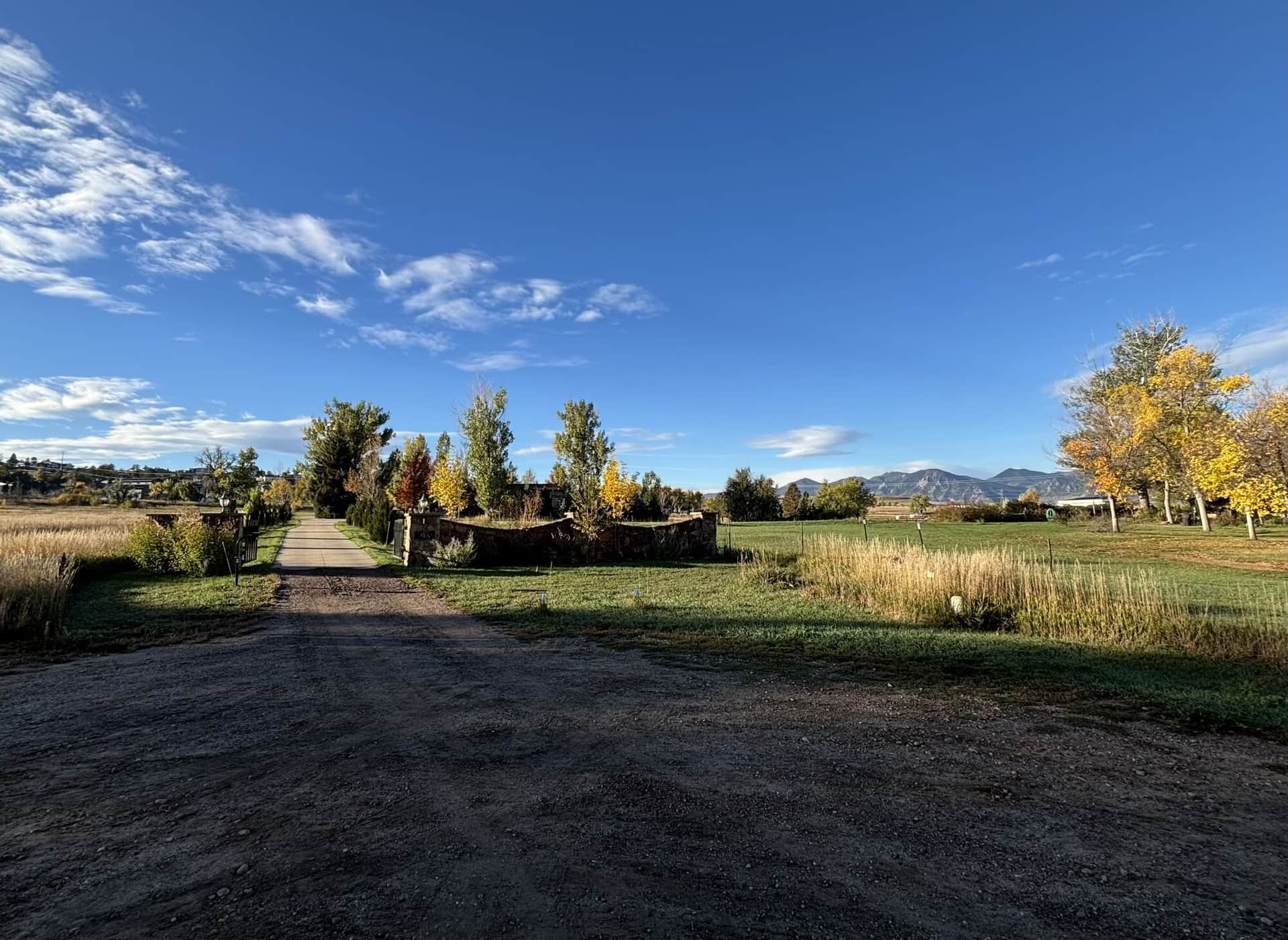
Flatirons Vista Trail
A gentle trail through grasslands and scrub oak with outstanding views of the iconic Flatirons rock formations and Boulder valley below.
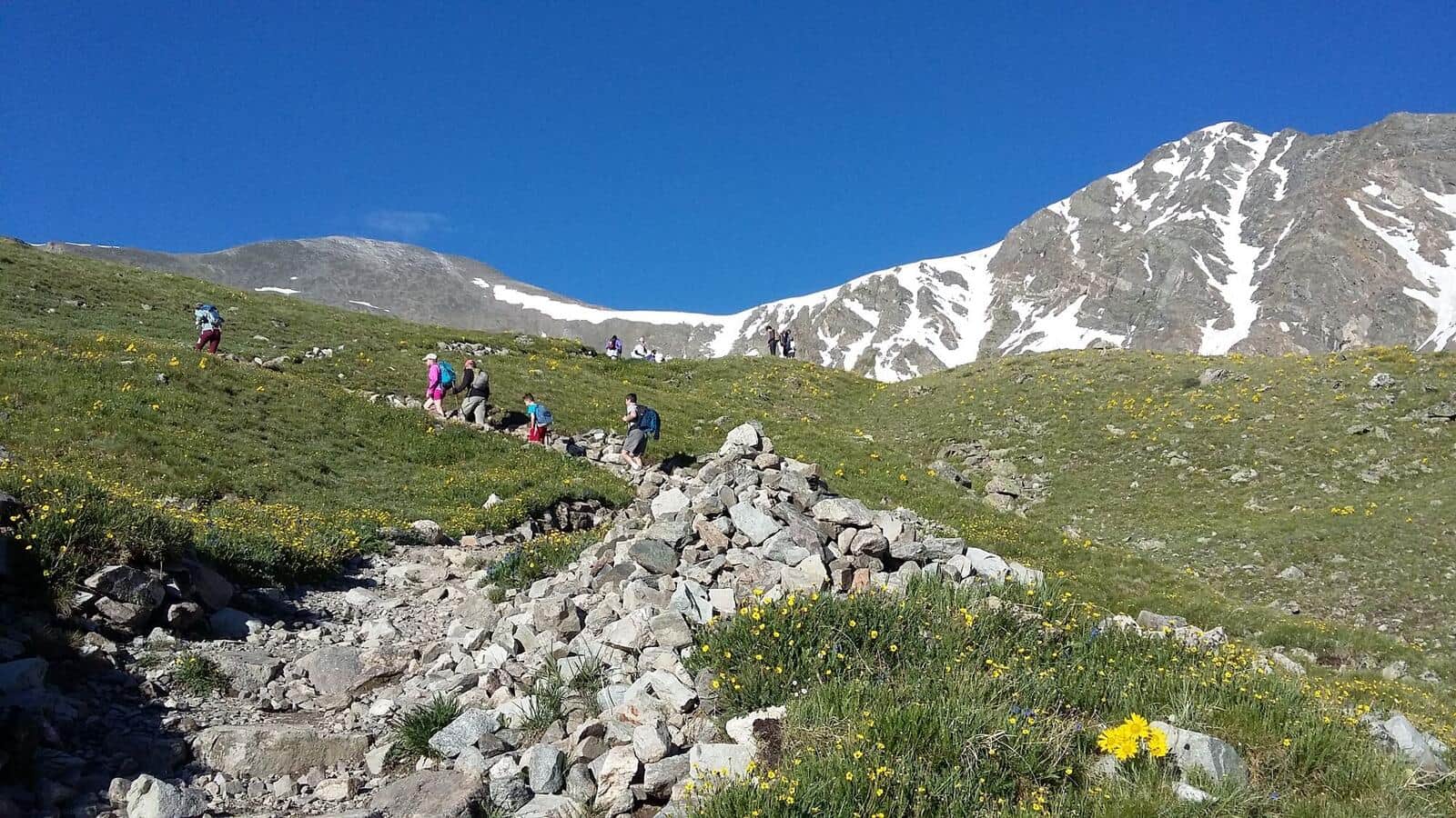
Grays and Torreys Peaks
A challenging double-peak 14er adventure offering two summits in one day. The trail features alpine terrain with stunning Continental Divide views.
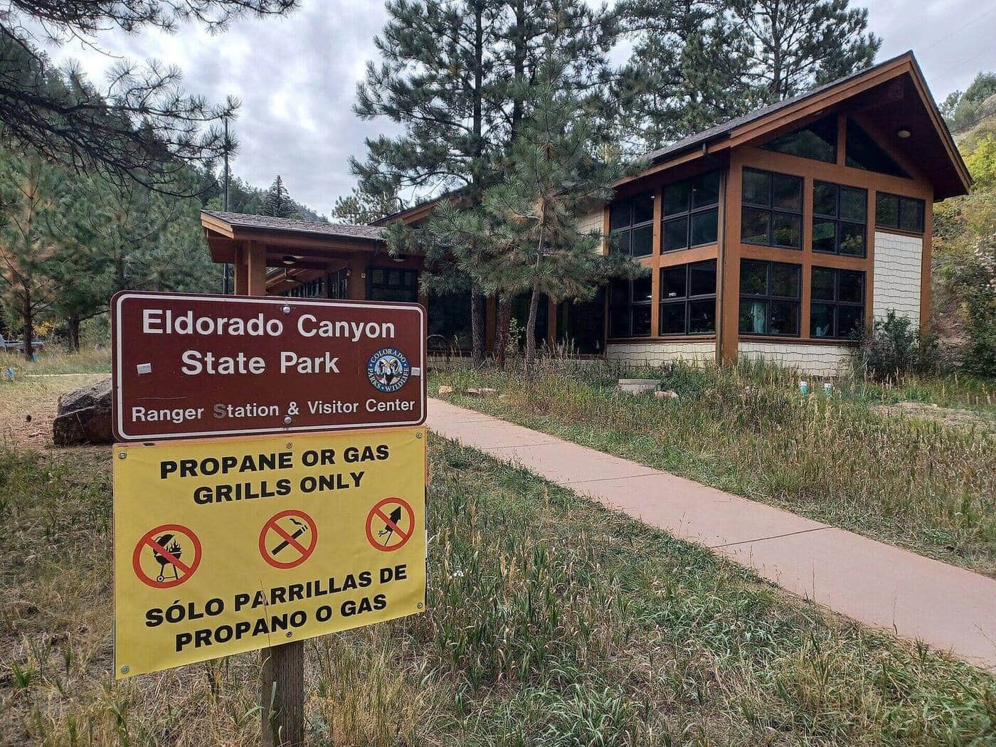
Eldorado Canyon Trail
A dramatic canyon hike through golden sandstone walls with South Boulder Creek flowing below. Popular for rock climbing access and scenic beauty.
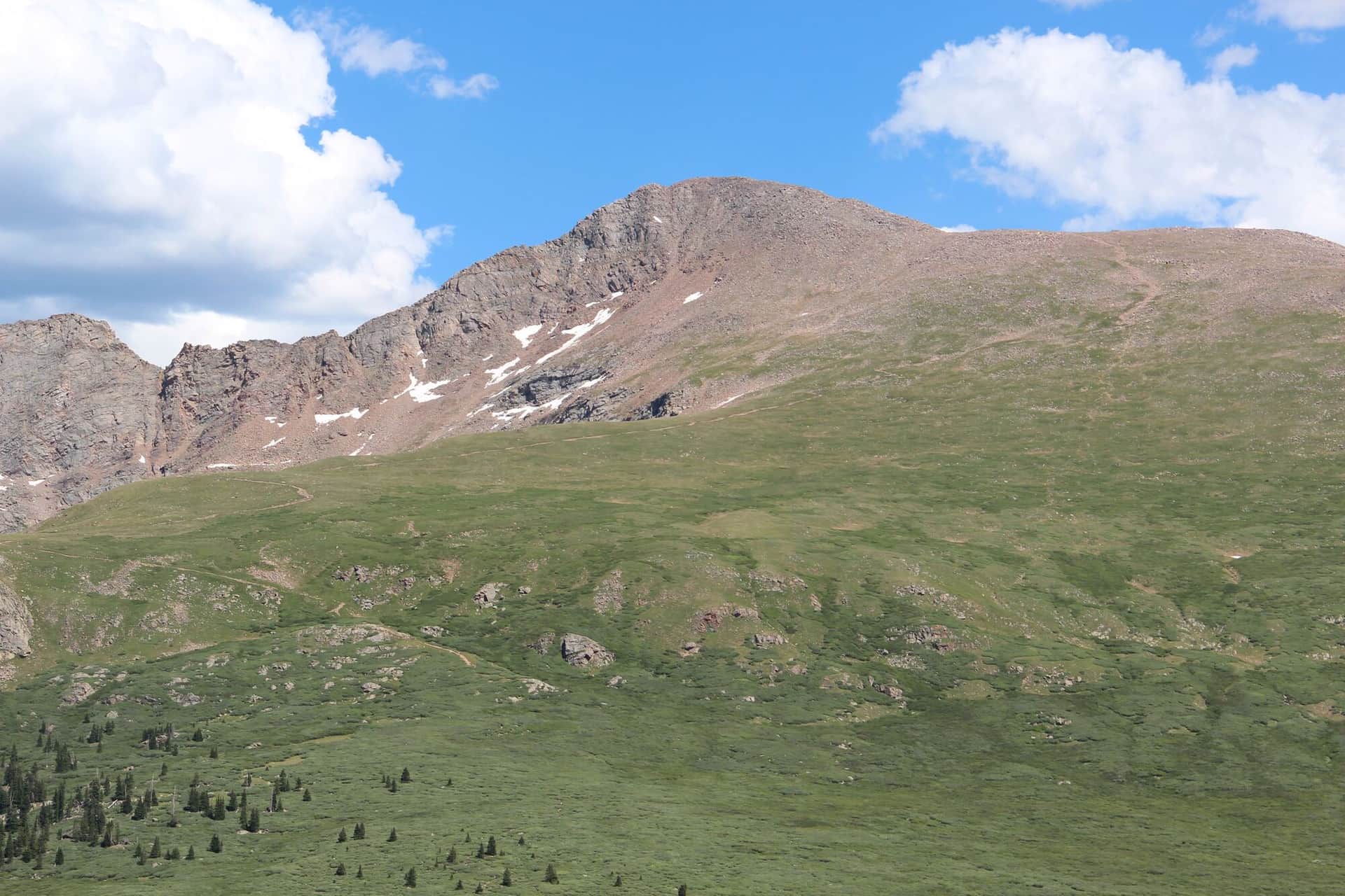
Mount Bierstadt
One of Colorado's most accessible 14ers with a well-defined trail through beautiful alpine terrain. Popular choice for first-time peak baggers.
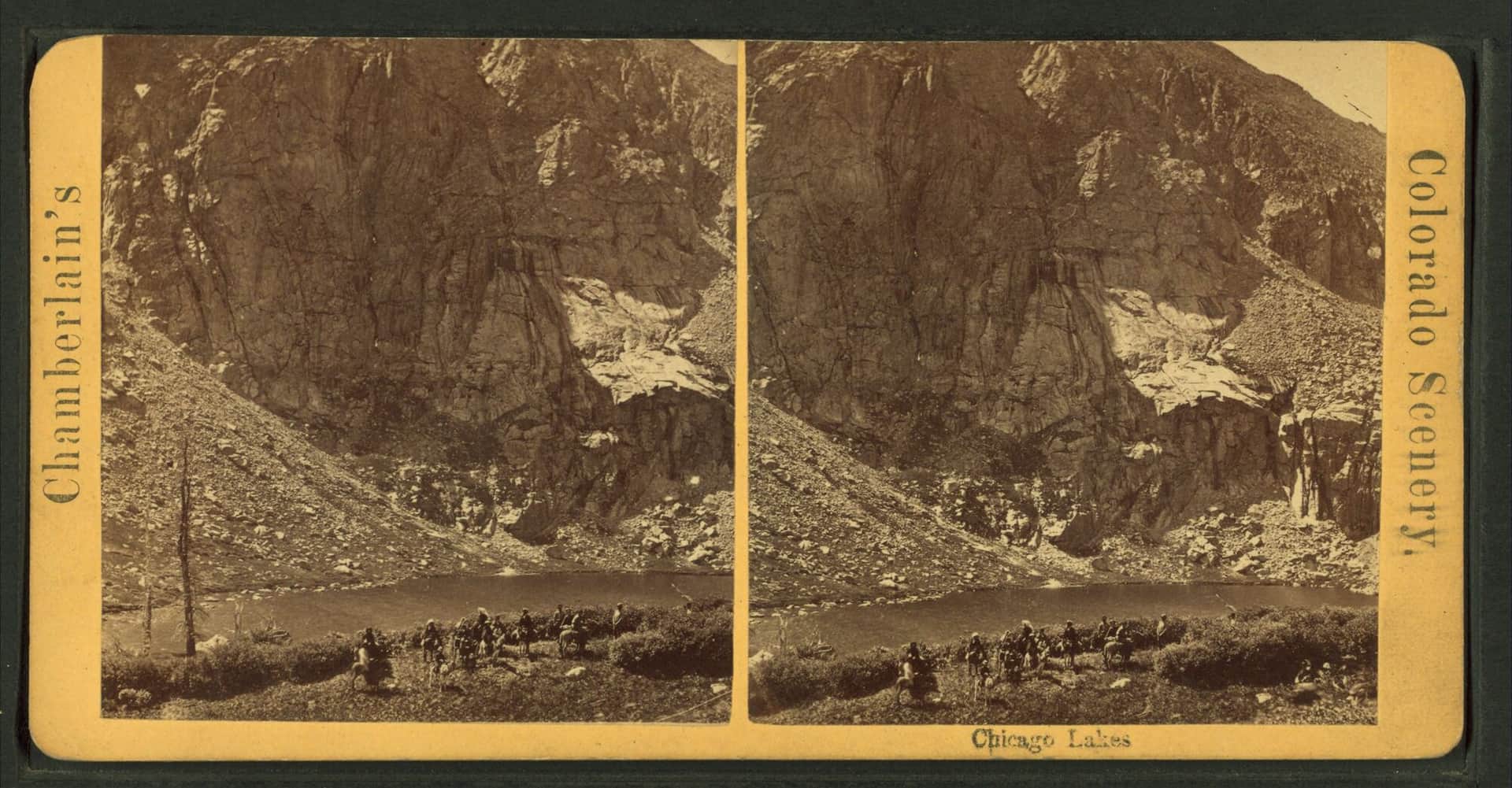
Chicago Lakes
A long but gentle hike to two pristine alpine lakes beneath Mount Blue Sky, the peak renamed from Mount Evans in 2023. The trail follows an old mining road through beautiful subalpine forest.
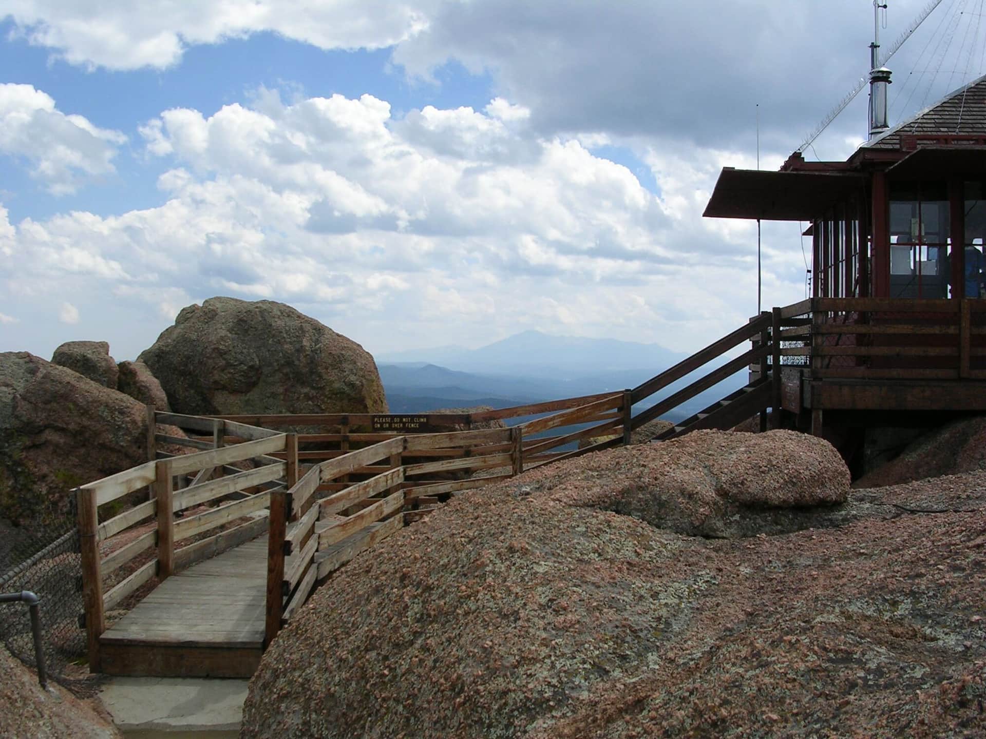
Devil's Head Lookout
A historic fire lookout tower hike through ponderosa pine forest with 360-degree views from the restored 1919 fire tower at the summit.
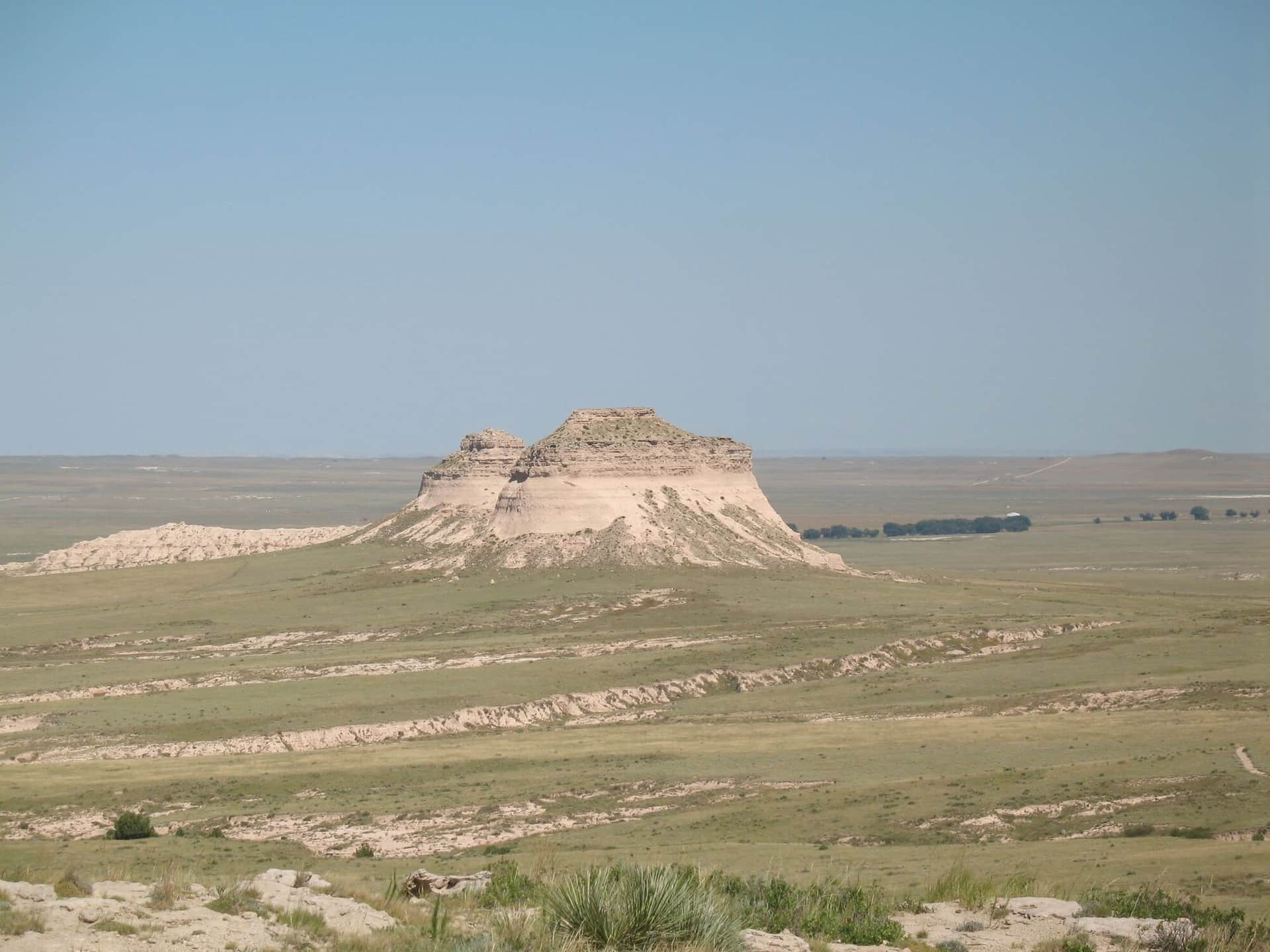
Pawnee Buttes Trail
A unique prairie hike to distinctive sandstone buttes on Colorado's eastern plains with expansive grassland views and diverse prairie wildlife.
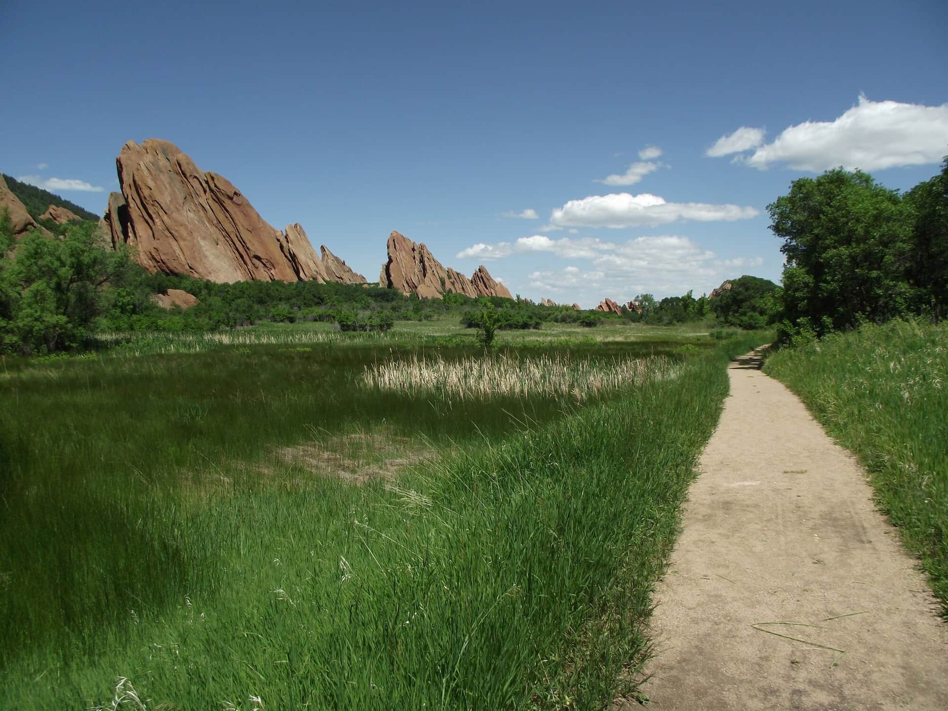
Roxborough State Park Fountain Valley Trail
A scenic loop through dramatic red rock formations and native grasslands with views of the distinctive hogback ridges and Front Range foothills.
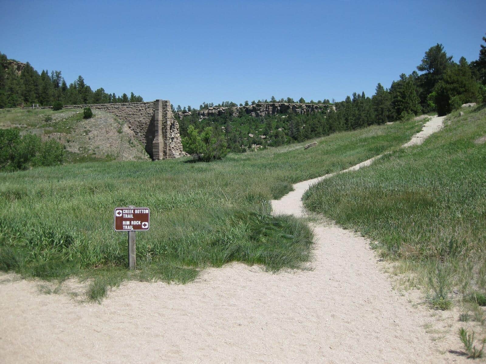
Castlewood Canyon Dam Ruins Trail
An easy walk to historic dam ruins through a scenic sandstone canyon with Cherry Creek flowing through diverse riparian and prairie ecosystems.
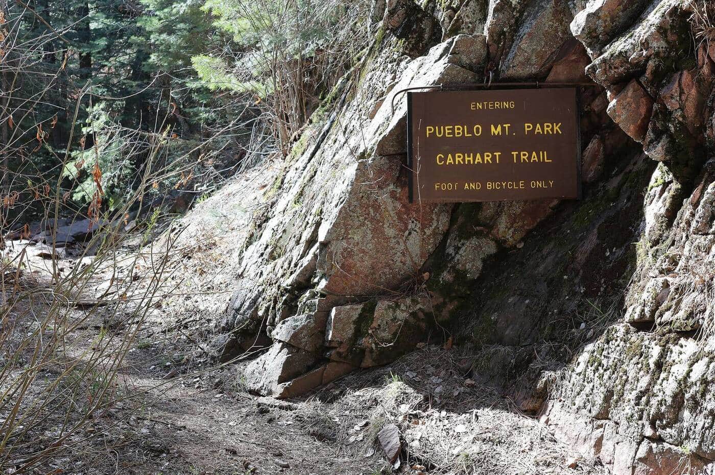
Pueblo Mountain Park Trail
Closed since the July 2026 Aspen Acres Fire while the City of Pueblo assesses the damage. A mountain park trail network through ponderosa pine forests and open meadows with views of the Sangre de Cristo Range and Arkansas River valley.
Mount Sanitas Trail
The most popular Boulder trail. Steep climb up Mount Sanitas with city views the whole way, then a faster descent on the East Ridge Trail. Reliably crowded mornings and evenings.
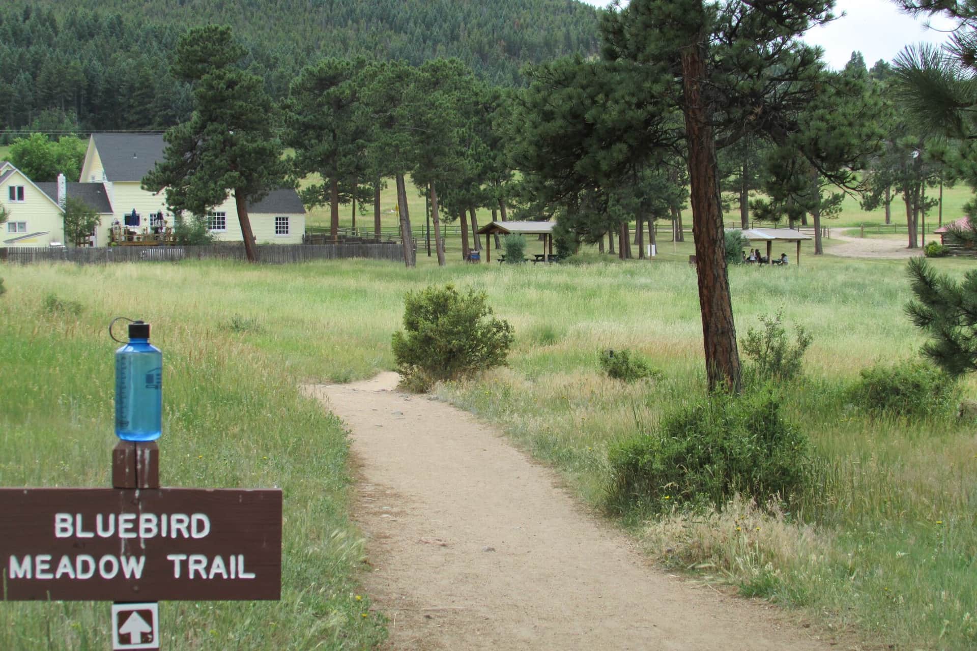
Three Sisters Trail at Alderfer
Easy loop through Alderfer/Three Sisters Park in Evergreen with three rock-formation summits. Family-friendly with multiple short loop options.
Mesa Trail
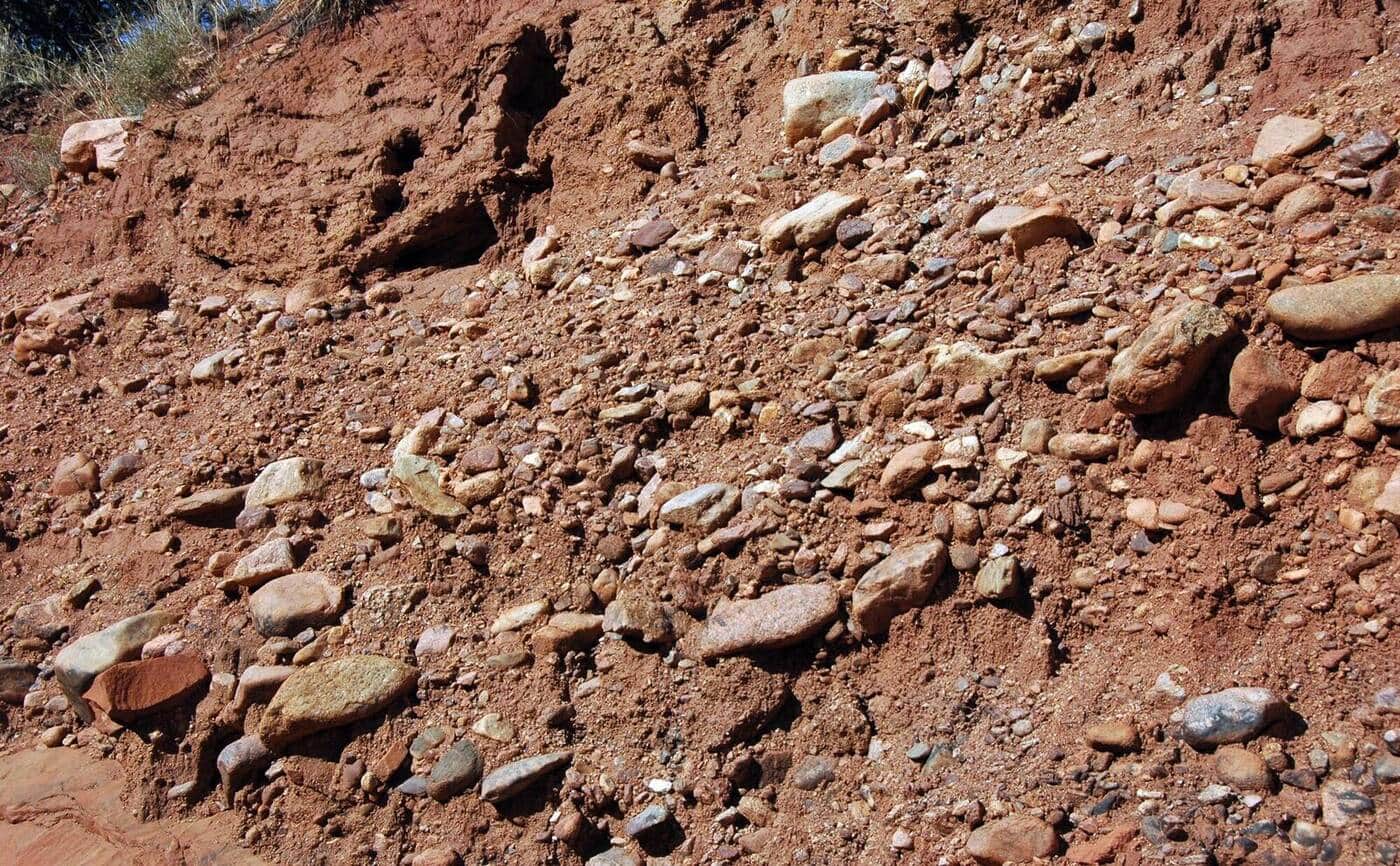
The classic Boulder Open Space trail running along the base of the Flatirons. Can be done as a point-to-point with shuttle or sections out-and-back. Multiple side trails branch up to Bear Peak, Green Mountain, and Royal Arch.
Bear Peak Trail
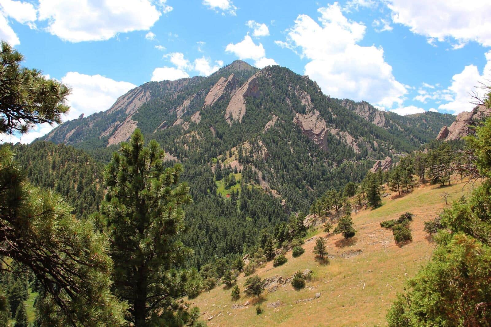
Steep Boulder summit climb via Fern Canyon or West Ridge. Summit views span the entire Boulder Valley and out to the plains. Local conditioning hike for Front Range mountaineers.
South Boulder Peak Trail
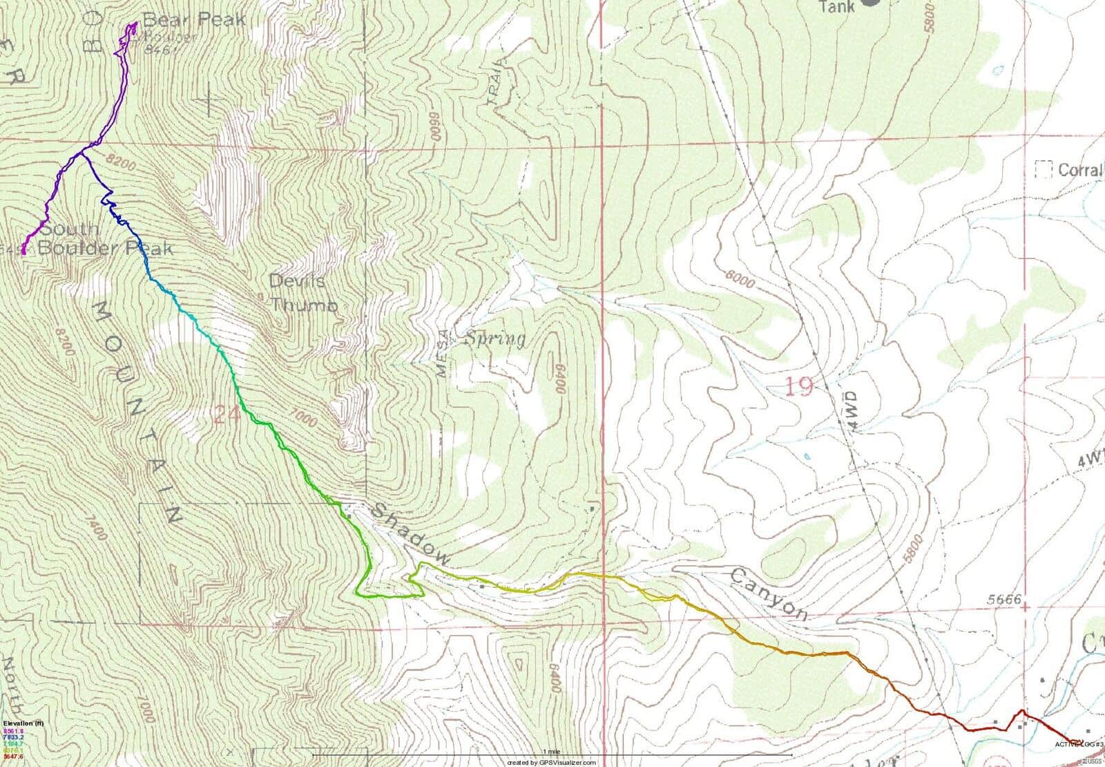
Boulder's highest summit at 8,549 feet. The Shadow Canyon route is the most direct but steep on loose talus. Often combined with Bear Peak for a two-summit day.
Green Mountain Trail (Boulder)
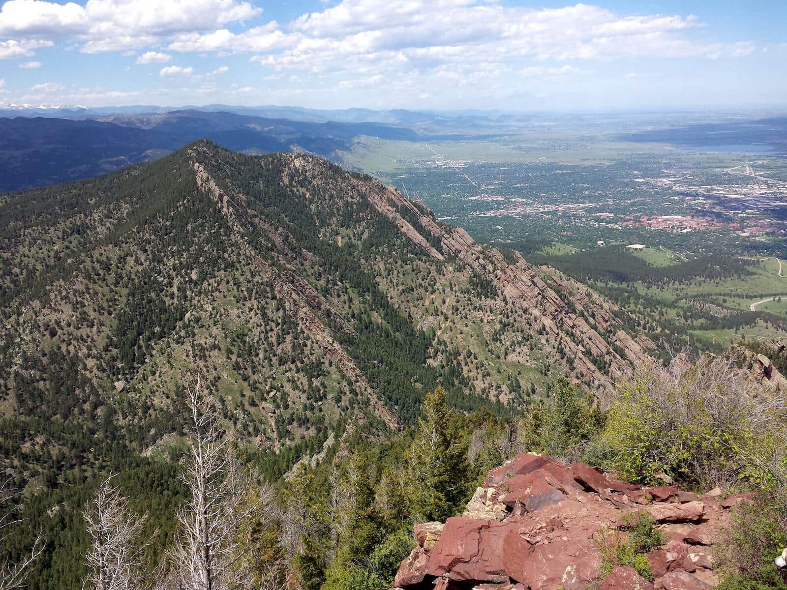
Steep summit hike from Gregory Canyon Trailhead to the top of Green Mountain. Multiple route options (Saddle Rock, Gregory Canyon, EM Greenman). Summit views over the Flatirons and Indian Peaks.
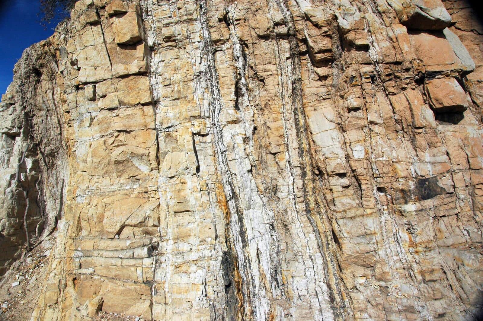
Picture Rock Trail
Connector trail between Heil Valley Ranch and Lyons. Open meadows, rolling terrain, mountain bike popular. Can be done as a point-to-point or shorter out-and-back.
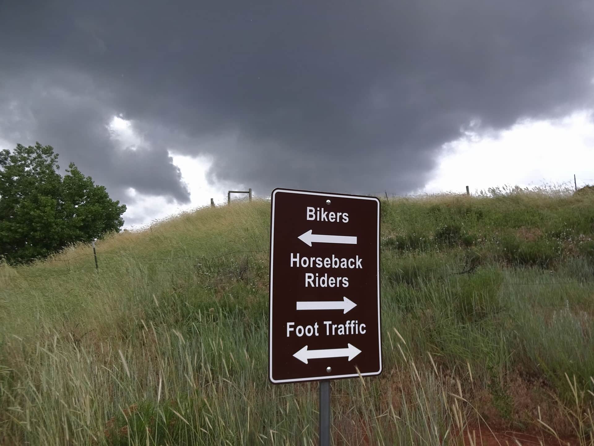
Devils Backbone Trail
Larimer County natural area with iconic rock formation hiking. The 'Keyhole' is the photo destination — a window through the sandstone formation. Family-friendly with stroller access on the lower section.
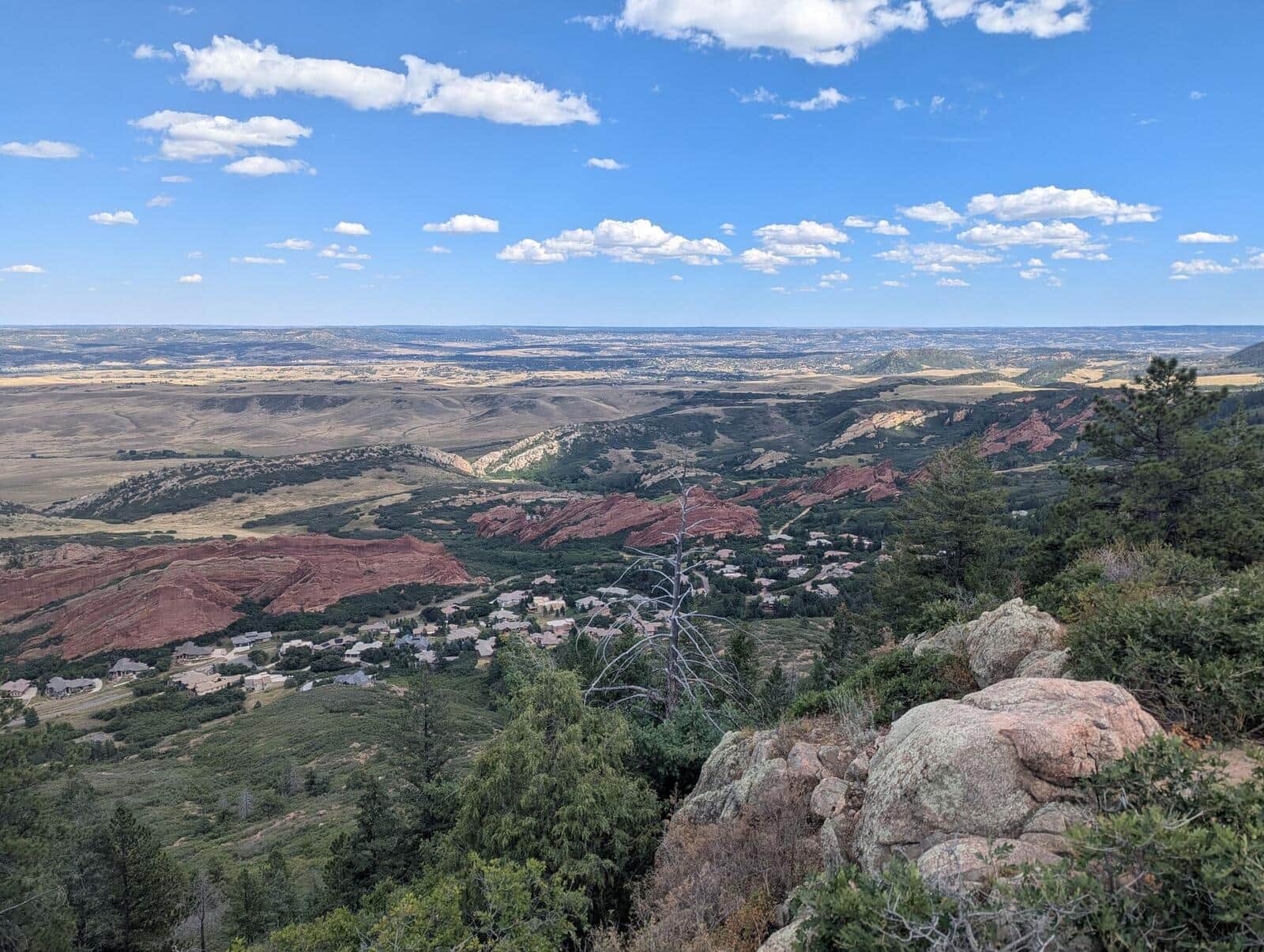
Carpenter Peak Trail
Steep climb to the highest summit in Roxborough State Park. Sandstone red rock formations on the lower half, then a forested climb to a 7,205-foot summit with views back to Denver.
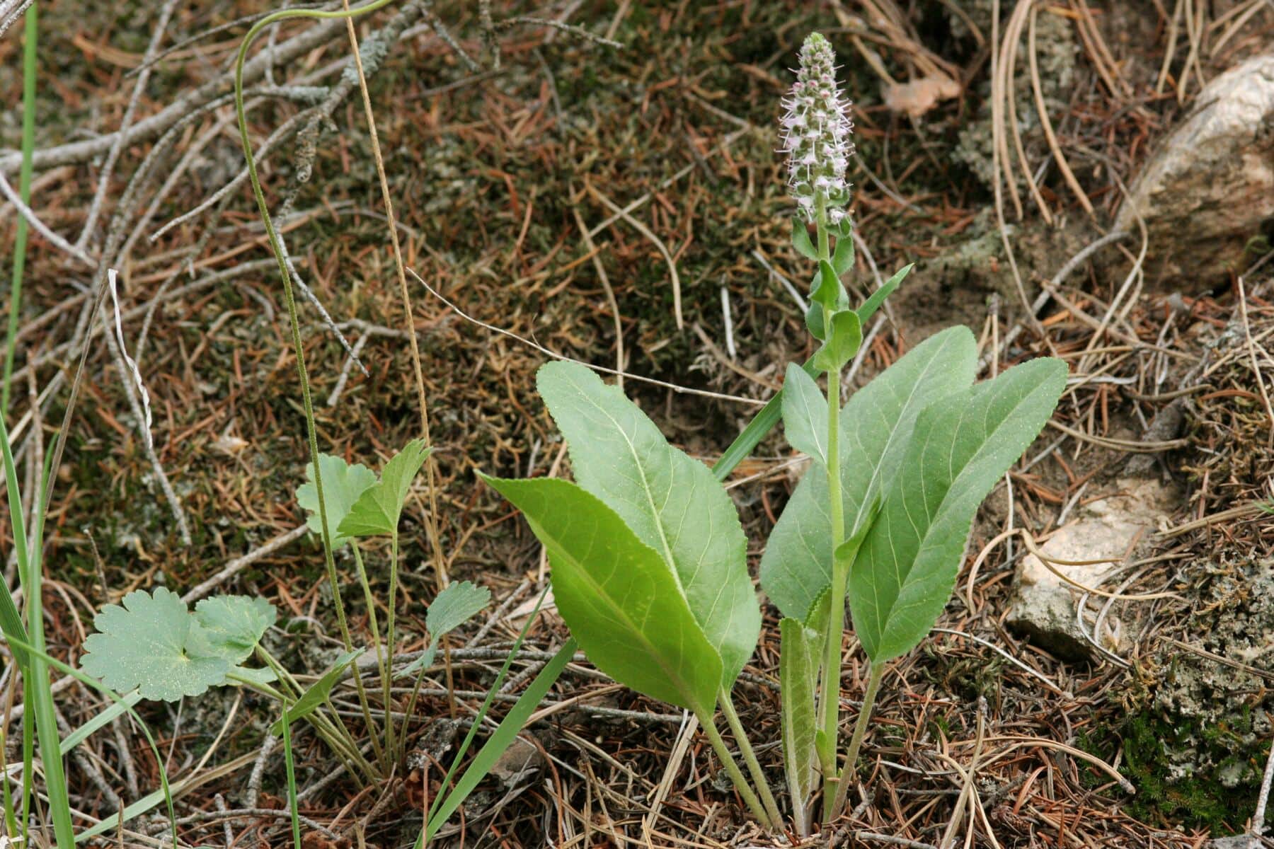
Crosier Mountain Trail
Steep climb to a forested summit between Estes Park and the plains. The summit has views back to Longs Peak and the Mummy Range. Quiet alternative to RMNP destinations.
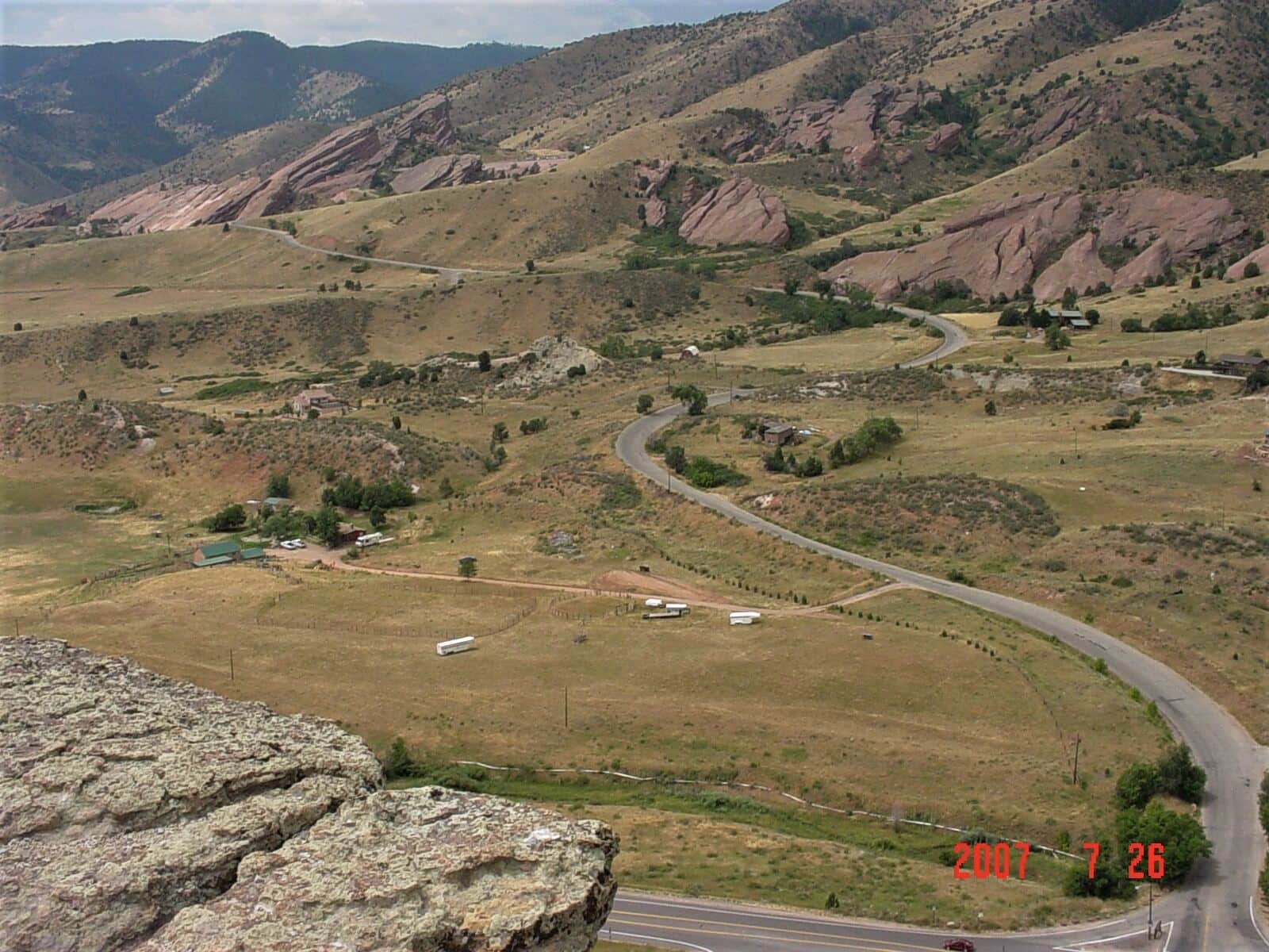
Mount Morrison Trail
Steep summit hike from Red Rocks Park to the top of Mount Morrison. Short but unrelenting climb, with views over Red Rocks Amphitheater and Denver. Brutal training hike for fitness.
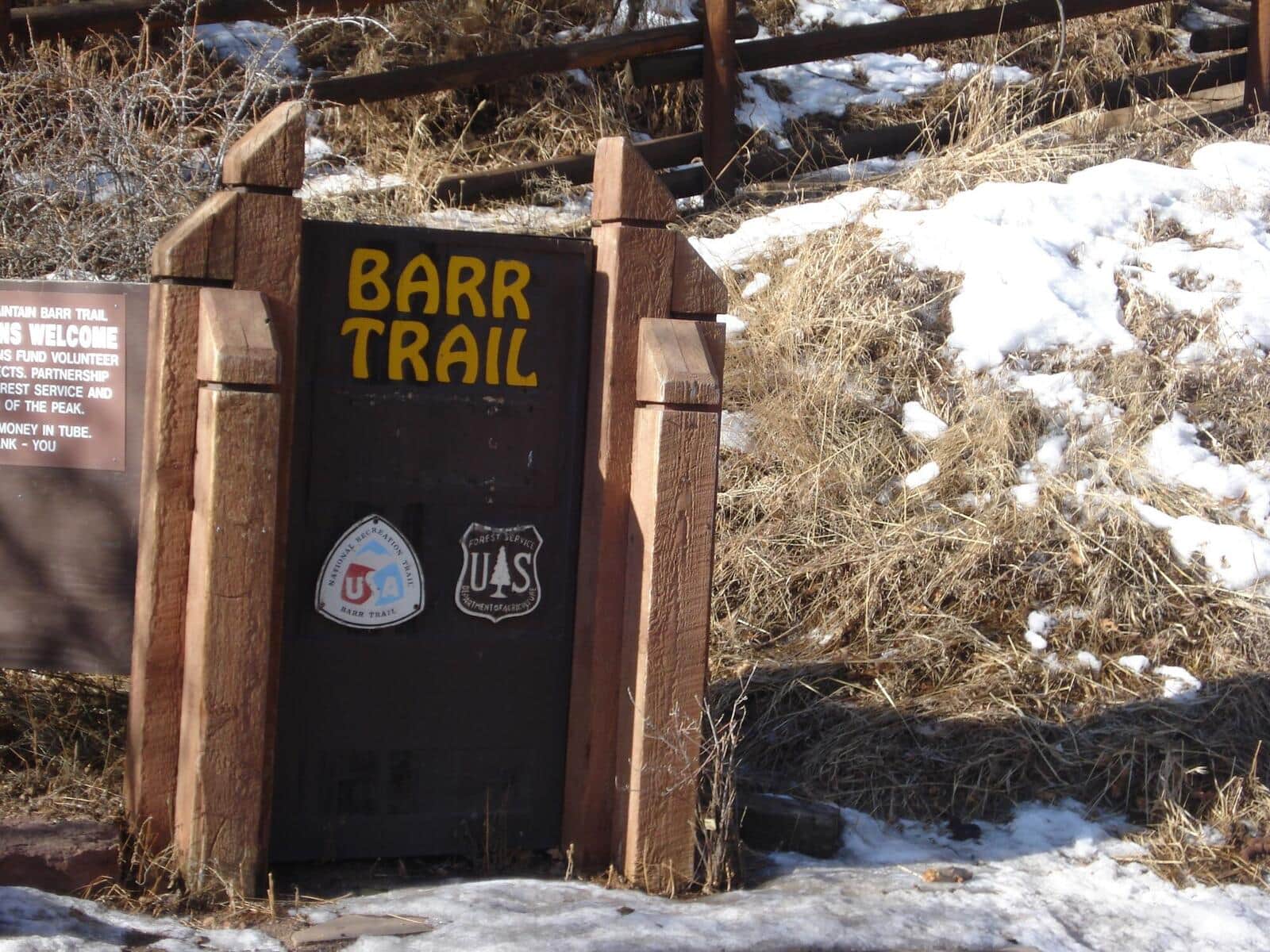
Barr Trail
The classic 13-mile foot-trail from Manitou Springs to the summit of Pikes Peak. Climbs through ponderosa forest, past Barr Camp at the midpoint (a popular overnight stop), into the high alpine, and up to the 14,115-foot summit. The longest standard-route 14er trail in Colorado.
Siamese Twins Trail
A short loop in the southern half of Garden of the Gods to the Siamese Twins, twin sandstone columns with a natural window that frames Pikes Peak when conditions are right. Crowded at sunrise and sunset for the photo.
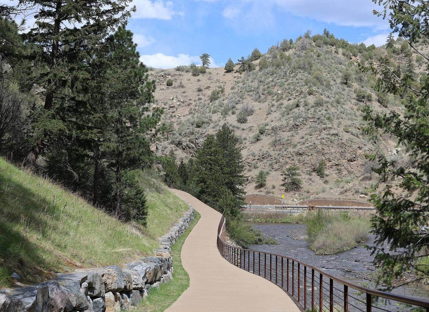
Big South Trail
Long river trail into the Comanche Peak Wilderness following the Big South Fork of the Cache la Poudre. Aspen and conifer forest, granite slabs above the river, and strong fall color in late September through the 2020 Cameron Peak burn. Suitable as a day hike to about mile 4 or as an overnight backpack.
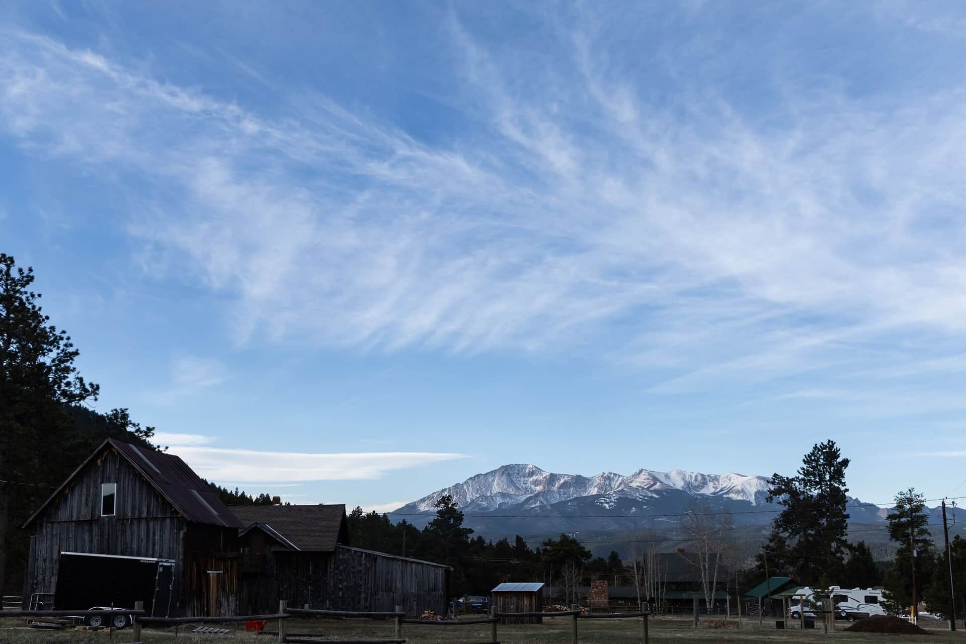
Lovell Gulch Trail
Forested loop in the hills above Woodland Park with views of the Pikes Peak massif from the upper ridges. Multiple trail intersections allow shorter or longer loop options. Popular with Colorado Springs locals avoiding the Manitou crowds.
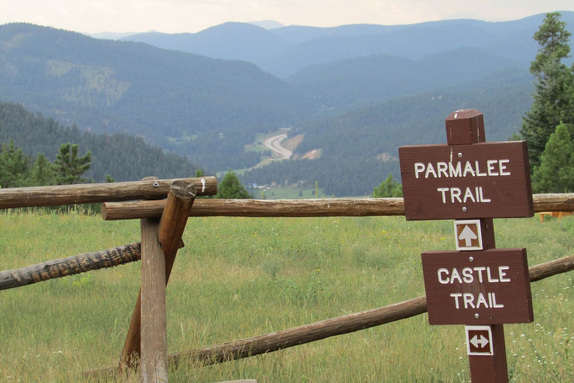
Mount Falcon Park Castle Trail
A loop hike through Denver Mountain Parks land with views of Red Rocks, the Front Range, and the Denver skyline. The ruins of John Brisben Walker's stone castle anchor the upper section.
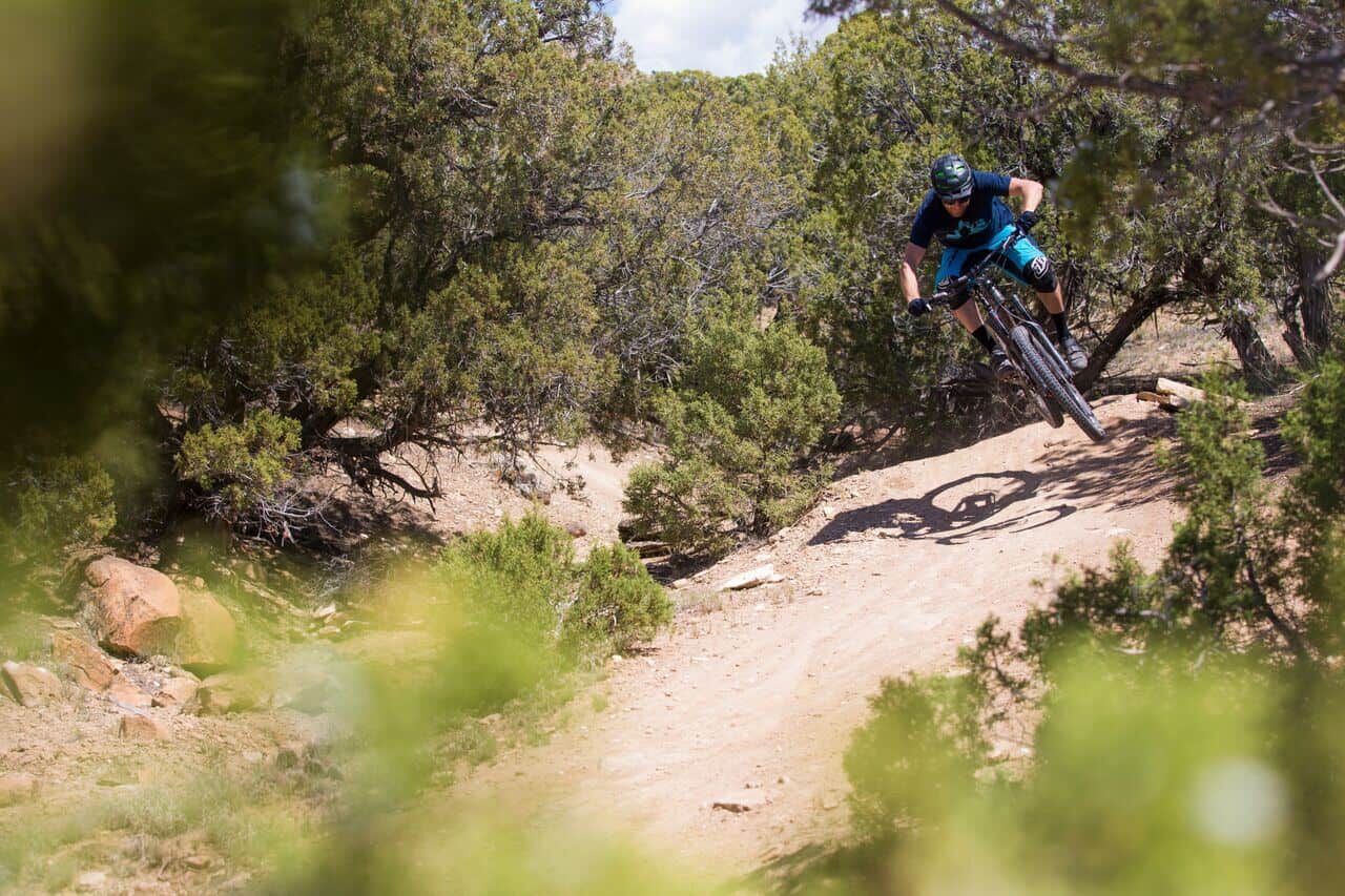
North Table Mountain Loop
A flat-topped mesa hike with sweeping Front Range views, raptor sightings in spring, and one of the best Denver-area sunset viewpoints. Wide gravel roads make it stroller and bike friendly.
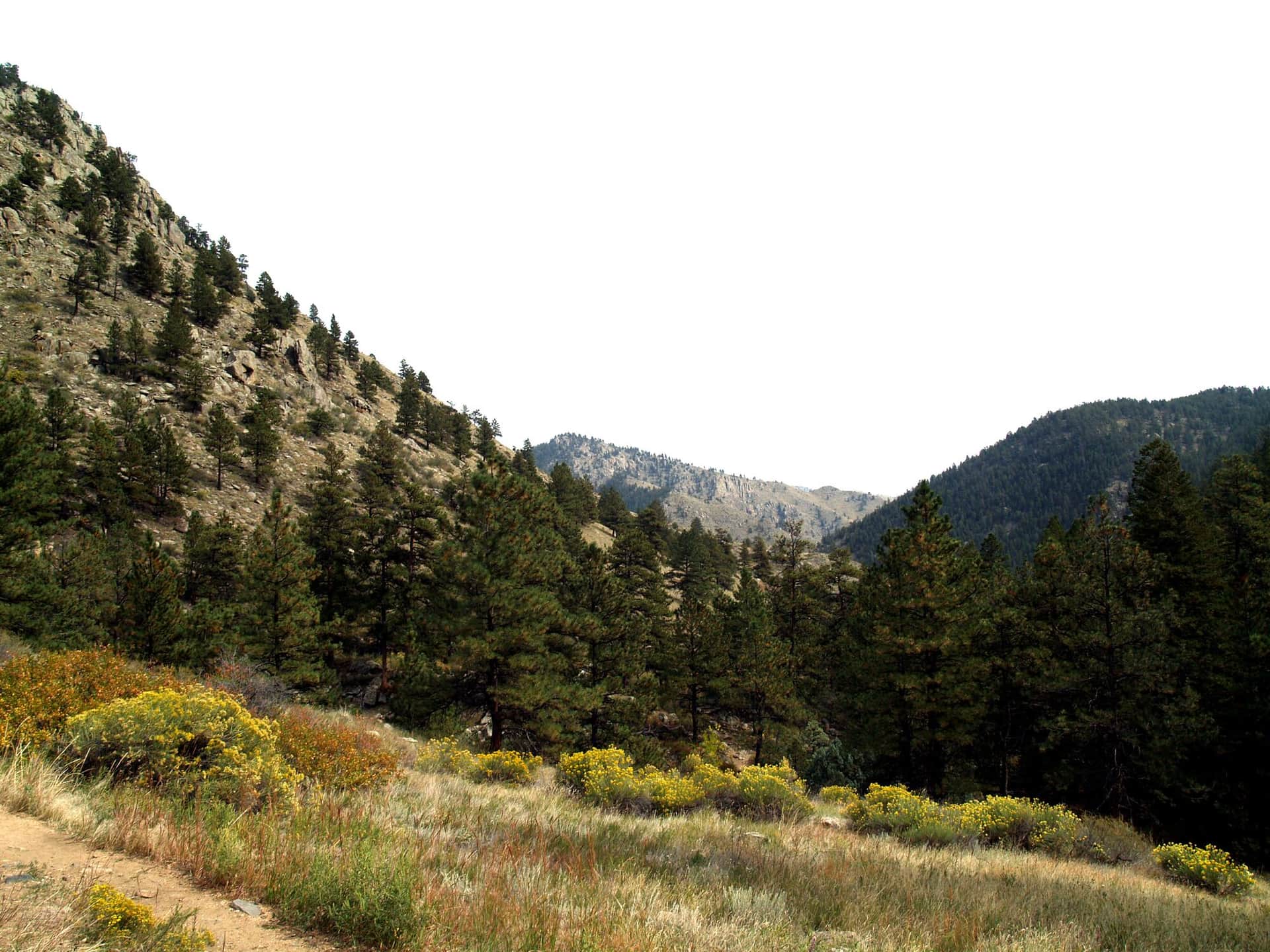
Greyrock Mountain Trail
A challenging climb up to the granite dome of Greyrock in the Cache la Poudre canyon. The final scramble to the summit lake rewards with one of the best views in northern Colorado.
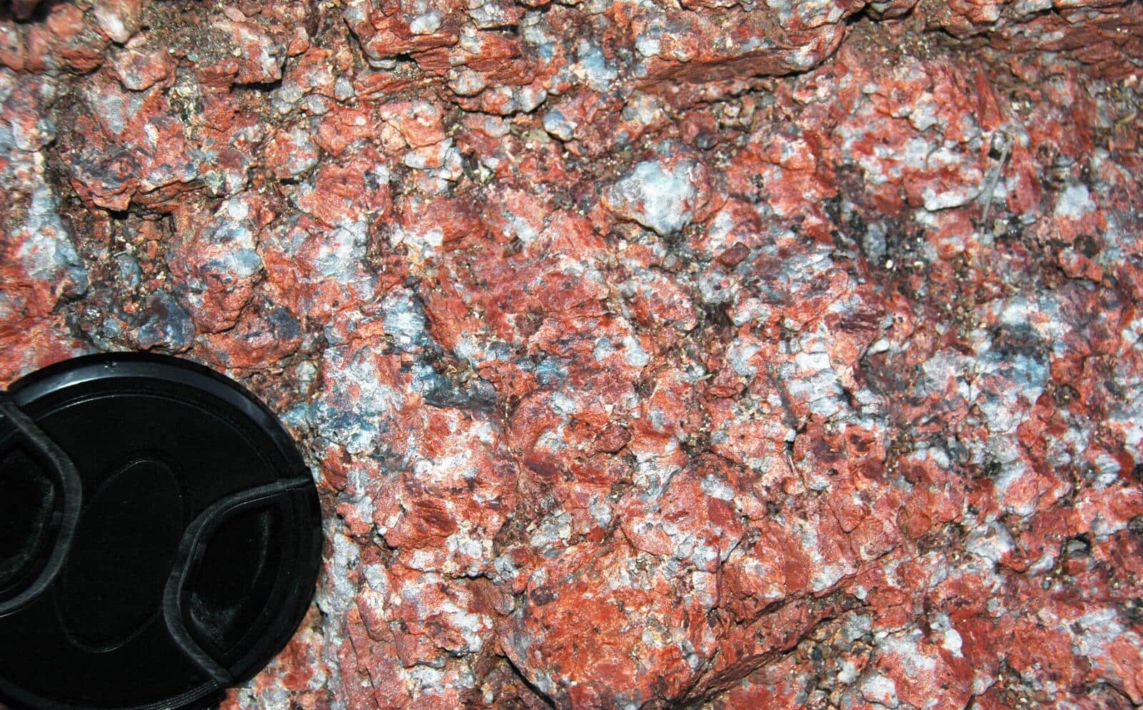
Red Mountain Trail (Manitou Springs)
Short, steep summit hike from downtown Manitou. Views over Manitou Springs and out to Pikes Peak. Less crowded alternative to the Incline.
Hiking the Front Range: what to know
Most Front Range trails start between 5,500 and 8,000 feet, which is why they work almost year-round. Boulder's Mesa Trail, Mount Sanitas, and the Flatirons, Fort Collins' Horsetooth and Devils Backbone, and the Denver Mountain Parks around Morrison and Evergreen usually stay hikeable through winter with microspikes on the shaded sections. The high country above them, St. Mary's Glacier, Chicago Lakes, Grays and Torreys, and Mount Bierstadt, is a summer and early-fall proposition, typically late June through early October.
The trade-off for being close to two million people is parking. Chautauqua in Boulder fills by 7 AM on summer weekends, the Grays and Torreys lot at Stevens Gulch fills before sunrise, and the Manitou Incline requires a free timed reservation. Weekday mornings solve most of it. So do the less famous trailheads: North Table Mountain in Golden, Mount Falcon near Morrison, Lovell Gulch near Woodland Park, and Greyrock north of Fort Collins rarely turn anyone away.
Two things catch visitors. The first is altitude: Denver is a mile high and the trailheads above Idaho Springs and Georgetown start above 10,000 feet, so a first-day hike should stay low. The second is weather. From June into September, storms build over the peaks by early afternoon almost daily, and lightning is the real hazard on anything above treeline. Plan to be heading down by noon on the 14ers and the alpine lakes.
The Front Range also holds the two most climbed fourteeners in the state, Bierstadt and Grays, plus Pikes Peak by way of the 26-mile Barr Trail. If you are new to the high peaks, start with Mount Bierstadt or Grays Peak and read the altitude sickness guide first.
14ers in the Front Range
6 Colorado fourteeners (peaks over 14,000 feet) stand in this range.
Grays Peak
Beginner-friendlyTorreys Peak
Beginner-friendlyMount Blue Sky (Mount Evans)
Beginner-friendlyLongs Peak
Pikes Peak
Mount Bierstadt
Beginner-friendlyOther Colorado Regions
- Black Canyon of the Gunnison →
- Flat Tops Wilderness →
- Gore Range →
- Indian Peaks Wilderness →
- Maroon Bells-Snowmass Wilderness →
- Mosquito Range →
- Mount Zirkel Wilderness →
- Park Range →
- Rocky Mountain National Park →
- San Juan Mountains →
- Sangre de Cristo →
- Sawatch Range →
- Tenmile Range →
- White River National Forest →