Indian Peaks Wilderness Loop
Indian Peaks Wilderness • Ward, Colorado
Overview
Lake Isabelle is the classic Indian Peaks hike: 2 miles from the Long Lake trailhead in Brainard Lake Recreation Area to a lake set under Navajo, Apache, and Shoshoni peaks, with the Jean Lunning loop around Long Lake as the easy add-on. The wildflowers in the meadows above Long Lake in July are as dense as any in the Front Range, which is why the trailhead needs a timed-entry reservation.
Trail Highlights
The Route
From the Long Lake trailhead at about 10,500 feet, the Pawnee Pass trail reaches Long Lake in a quarter mile and follows its north shore through spruce and meadow. At the far end of the lake, the Jean Lunning trail branches left to loop back along the south shore; the Pawnee Pass trail continues west, climbing gently past willow flats and the July wildflower meadows.
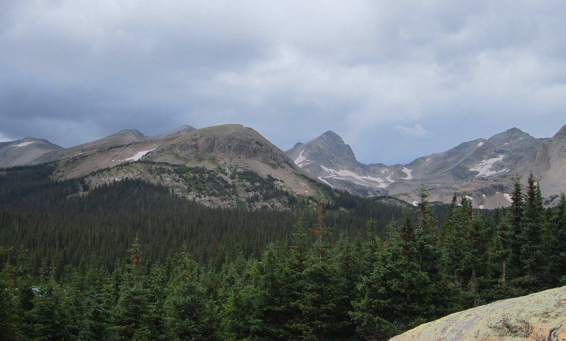
At about 1.8 miles the Isabelle Glacier trail leaves left, and a short climb reaches Lake Isabelle at 10,868 feet, with Navajo Peak's pyramid at the head of the valley and Isabelle Glacier above the far shore. The lake is a small reservoir that is drawn down in late summer, so it is fullest in July. The Isabelle Glacier trail continues 2 miles farther to the glacier's foot for a longer day; most people return the way they came, or take the Jean Lunning loop around Long Lake on the way out for the 4-mile version.
Getting to the Trailhead
Brainard Lake Recreation Area is 5 miles west of Ward on Brainard Lake Road, off Colorado 72 north of Nederland. From June through October a timed-entry reservation from Recreation.gov is required to drive past the entrance station, with separate permits for the Brainard Lake lots, open from June, and the Long Lake and Mitchell Lake trailhead lots, open from July; the trailhead permits sell out first. There is also a per-vehicle fee. Without a trailhead permit, park at Brainard Lake and walk the road, about a mile each way, or start from the Brainard Gateway trailhead at the entrance, which is open year-round with no reservation and adds about 2.5 miles each way. The Long Lake lot has a toilet.
Best Time to Hike
The road to the trailheads opens when the snow clears, usually mid-June, and the wildflowers peak in the second half of July. Aspen are few this high; fall here is the gold of the willows and the first snow on Navajo in September. From late fall through spring the road closes at the winter gate near Red Rock Lake, which adds about 2.5 miles each way and makes Lake Isabelle a popular snowshoe and ski tour. Afternoon storms build over the Divide by early afternoon in July and August, though the route stays below treeline until the lake.
Good to Know
Dogs are allowed on leash in the wilderness and in the recreation area. The trail is one of the friendliest in the Indian Peaks for kids: short, gentle, and a lake with a beach. Camping is not allowed at Lake Isabelle; overnight trips in the wilderness need an $11 permit for each backcountry zone from June 1 through September 15, sold on Recreation.gov from the first Tuesday in March, and bear canisters are required. Dogs must be on a hand-held leash. Moose are common in the willows around Long Lake. The trailhead sits above 10,000 feet, so people driving up from Boulder feel it. The Indian Peaks Wilderness guide covers the other trailheads, and the Nederland hikes page has the Hessie side.
Sources
Figures and access details on this page were checked against these pages on 2026-09-04. Conditions change; confirm with the managing agency before you go.
Who to call
Conditions, closures, permits, and anything left behind on Indian Peaks Wilderness Loop.
- Managed by
- Boulder Ranger District, Arapaho and Roosevelt National Forests
(970) 295-6600 (Boulder, by appointment, Mon to Fri) · websiteOne phone line serves every Arapaho and Roosevelt district. - Lost and found, non-emergency
- Boulder County Sheriff's Office
(303) 441-3629 (lost and found), non-emergency (303) 441-4444 · websiteFound property goes through Property and Evidence. Items found inside Boulder city limits go to Boulder Police. - Emergency
- 911. Cell coverage is patchy on most of these trails; a text to 911 can get through where a call cannot.
Numbers checked 2026-10-04. Colorado United is an independent guide, not the land manager; wallets, keys, and dogs found on the trail go to the offices above.
What to Pack
Gear guides for this kind of hike:
Frequently Asked Questions
How long does the Indian Peaks Wilderness Loop take?
Most hikers finish the 4-mile route in about 3 hours, plus stops. Allow extra time at altitude and for photos.
How hard is the Indian Peaks Wilderness Loop?
It is rated moderate, with 600 feet of gain over 4 miles and a high point of 10,870 feet. Expect a real workout but no technical sections.
Is the Indian Peaks Wilderness Loop dog-friendly?
Yes, leashed dogs are allowed. Pack water for them and clean up after them.
When is the best time to hike the Indian Peaks Wilderness Loop?
The best seasons are summer and fall. Start early to beat both the crowds and Colorado's afternoon thunderstorms.
Do I need a pass or permit for the Indian Peaks Wilderness Loop?
No pass or permit is required to park, though popular lots still fill early on summer weekends.
Planning a Colorado trip? Get our packing checklist.
Free PDF + a weekly note on the best trails for the current season.
We respect your inbox. Unsubscribe anytime.
Read More About This Trail
Get additional insights, tips, and detailed information in our comprehensive guide.
Read Full Guide →Trail Information
Nearby Trails in Indian Peaks Wilderness
Connected pages
- Hikes near Nederland
All curated trails in the Nederland area.
- Hiking in the Indian Peaks Wilderness
Regional trail guide.
Discover More Trails
Browse our complete directory of Colorado hiking trails with detailed guides and filters.
View All Trails