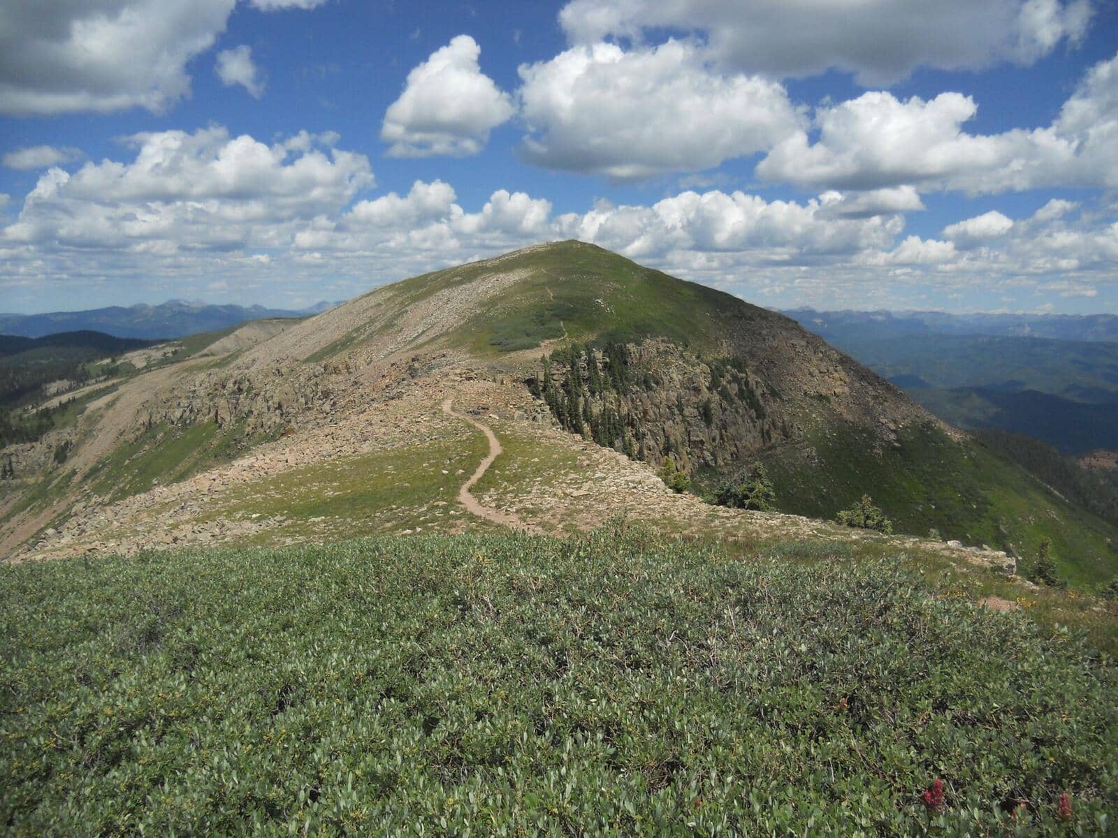
Hermosa Creek Trail
San Juan Mountains • Durango, Colorado
Overview
Hermosa Creek is a 19-mile valley trail north of Durango that runs the length of a canyon of ponderosa, aspen, and meadow beside a trout stream, with the Hermosa Creek Wilderness on its west bank. Mountain bikers ride it as a shuttle from the upper trailhead near Purgatory to the lower one near Hermosa; hikers usually walk 3 to 5 miles in from either end and turn around, and backpackers make a night of the middle.
Trail Highlights
The Route
From the lower trailhead, the trail contours along the east side of the canyon high above the creek for the first few miles, in ponderosa and oak with the water audible below, then drops to creek level and follows it through meadows and aspen. Side creeks are crossed on bridges and rocks. The Dutch Creek and Salt Creek junctions come in the middle miles, with the canyon at its widest.
From the upper trailhead the trail descends gently into the valley through aspen and meadow, the prettier end in fall, and follows the creek south. The two halves meet in the middle for the full point-to-point, which most people do on a bike. A hiker's day is 6 to 10 miles round trip from either end; the listing's 19 miles is the through-trip, from the upper trailhead at 8,880 feet down to the lower one at 7,820. The Forest Service reports trail damage in the Hope Creek area, about 8 miles from the upper end and 10 from the lower, that may be impassable for horses and some motorcycles, and the 2018 416 Fire left burned-area hazards, falling trees among them, along parts of the canyon.
Getting to the Trailhead
The lower trailhead is reached from US 550 at Hermosa, about 10 miles north of Durango: turn west on County Road 201, cross the railroad tracks, keep right to stay on 201, and continue straight onto Forest Road 576 for 3.5 miles of gravel to the lot. The upper trailhead is off Hermosa Park Road (Forest Road 578) from US 550 at Purgatory, about 26 miles north of Durango, then 7.5 miles of gravel; the trailhead is on the south side of the road. From September 8 to October 13, 2026 the Forest Service is closing Forest Road 578 just beyond the trailhead for a culvert project; the trailhead, parking, and toilets stay open from the Purgatory side, but the road and the Blackhawk Pass loop beyond the closure are off limits to everyone, hikers included. Both are passable by passenger cars in summer. No fee or permit. The through-trip needs a shuttle; Durango bike shops run them.
Best Time to Hike
The lower canyon opens by May and stays hikeable into November, with the upper trailhead snowbound until June. The aspen in the upper valley turn in the third and fourth weeks of September, earlier than the lower canyon. Summer afternoons are warm in the lower miles, and the monsoon storms arrive by early afternoon in July and August, though the trail is in the trees. Spring runoff makes the side creeks wet crossings in May and June.
Good to Know
Dogs are allowed, on leash near the trailheads and under control beyond. The trail is shared with mountain bikes, horses, and single-track motorcycles along its whole length, and with small OHVs on the upper section down to the Salt Creek junction. The distance is why the trail is not marked kid-friendly; the first 2 miles from either end are fine for a family. Mountain bikers ride the trail in numbers on weekends and ride it fast downhill from the upper end; listen and step aside. Carry a filter; the creek is the water, and it is a good cutthroat fishery. Bears are active in the canyon. Durango has every service. The Durango hikes page has Engineer Mountain and Vallecito Creek.
Sources
Figures and access details on this page were checked against these pages on 2026-09-04. Conditions change; confirm with the managing agency before you go.
Who to call
Conditions, closures, permits, and anything left behind on Hermosa Creek Trail.
- Managed by
- Columbine Ranger District, San Juan National Forest
(970) 884-2512 (Bayfield, Fri only, 10 to 4:30) · websiteOn other weekdays call the San Juan National Forest office in Durango, (970) 247-4874, Mon, Tue, Thu and Fri 9 to 3. - Lost and found, non-emergency
- La Plata County Sheriff's Office
(970) 385-2900 · websiteItems found inside Durango go to Durango Police. - Emergency
- 911. Cell coverage is patchy on most of these trails; a text to 911 can get through where a call cannot.
Numbers checked 2026-10-04. Colorado United is an independent guide, not the land manager; wallets, keys, and dogs found on the trail go to the offices above.
What to Pack
Gear guides for this kind of hike:
Frequently Asked Questions
How long does the Hermosa Creek Trail take?
Most hikers finish the 19-mile route in about 8 hours, plus stops. Allow extra time at altitude and for photos.
How hard is the Hermosa Creek Trail?
It is rated moderate, with 2,200 feet of gain over 19 miles and a high point of 8,880 feet. Expect a real workout but no technical sections.
Is the Hermosa Creek Trail dog-friendly?
Yes, leashed dogs are allowed. Pack water for them and clean up after them.
When is the best time to hike the Hermosa Creek Trail?
The best seasons are summer and fall. Start early to beat both the crowds and Colorado's afternoon thunderstorms.
Do I need a pass or permit for the Hermosa Creek Trail?
No pass or permit is required to park, though popular lots still fill early on summer weekends.
Planning a Colorado trip? Get our packing checklist.
Free PDF + a weekly note on the best trails for the current season.
We respect your inbox. Unsubscribe anytime.
Trail Information
Nearby Trails in San Juan Mountains
Connected pages
- Hikes near Durango
All curated trails in the Durango area.
- Hiking in the San Juan Mountains
Regional trail guide.
Discover More Trails
Browse our complete directory of Colorado hiking trails with detailed guides and filters.
View All Trails