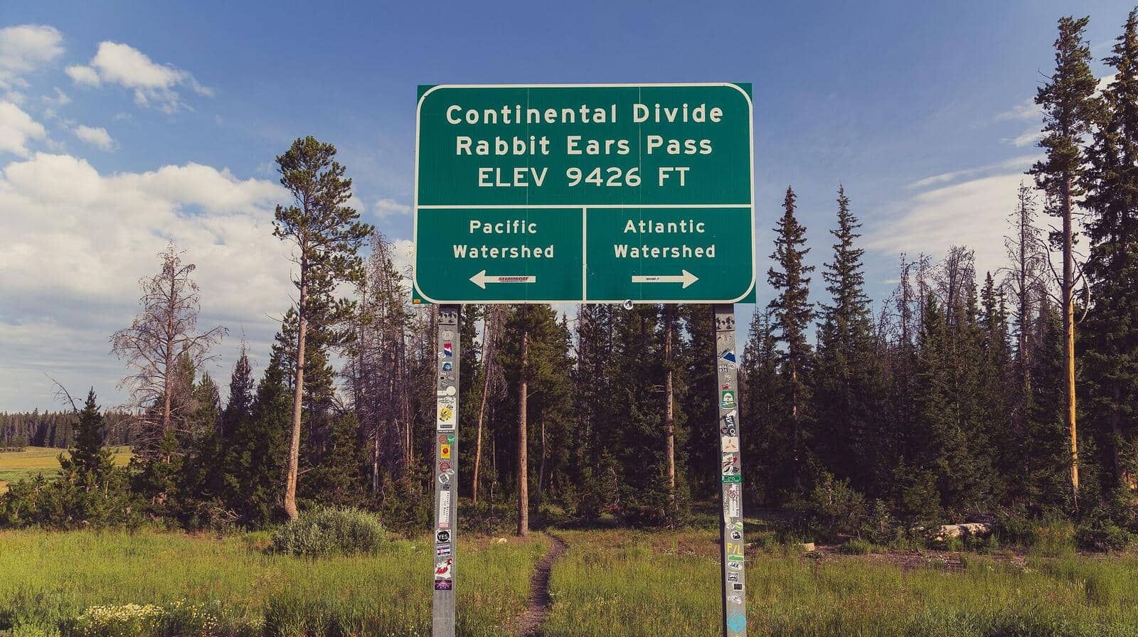
Rabbit Ears Pass Trail
Park Range • Steamboat Springs, Colorado
Overview
Rabbit Ears Peak is the pair of volcanic rock columns on the Continental Divide that Rabbit Ears Pass is named for, visible from the Yampa Valley and from most of the drive up US 40 from Kremmling. The trail to their base is an old 4WD road from the Dumont Lake area, 5 miles round trip with 1,100 feet of gain, through meadows that are among the best wildflower ground in the Steamboat area in July.
Trail Highlights
The Route
From the parking area near Dumont Lake, follow Forest Road 291 north. It is a rutted two-track that climbs through lodgepole and open meadow with the ears in view most of the way. The road is muddy in early summer and shared with ATVs and jeeps on weekends.
At about 2 miles the road steepens and turns to rock as it climbs the ridge, and at 2.5 miles it ends at a saddle at the base of the formations, around 10,650 feet. The ears themselves are crumbling volcanic breccia; people scramble partway up the shorter one, and the taller one is a loose, unprotected climb that is not worth the risk. The view from the saddle takes in the Yampa Valley, the Flat Tops, and the Zirkels. Return the same way.
Getting to the Trailhead
From Steamboat Springs, drive 19 miles southeast on US 40 over the east summit of Rabbit Ears Pass to the Dumont Lake Campground sign and turn north on Forest Road 315. In about half a mile, Forest Road 291 leaves to the left at the old Rabbit Ears Pass monument. Passenger cars should park along the road here at about 9,550 feet; high-clearance vehicles can drive up 291 a mile or so, which shortens the hike but not the experience. No fee or permit. Dumont Lake Campground, just up the road, has toilets and water in summer.
Best Time to Hike
The road melts out in late June and the meadows peak with columbine, paintbrush, and lupine in mid-July. Aspen along US 40 and around Dumont Lake turn in the last week of September. In winter the Dumont Lake lot is plowed and the road becomes a snowshoe or ski route across open country, with the ears easy to aim for and a lot of wind on the ridge. Afternoon storms build over the Divide by early afternoon in July and August, and the upper ridge is exposed; start by 8 AM.
Good to Know
Dogs are allowed and can be off leash under voice control on the national forest, though the ATV traffic argues for a leash on summer weekends. Kids manage the distance if they are used to walking; the grade is gentle until the last half mile. The rock at the ears is loose and has hurt people who climbed higher than the obvious ledges; stay off the tall pinnacle. There is no water on the route after the Dumont Lake area. Steamboat Springs, 30 minutes away, has every service. The Park Range page covers Fish Creek Falls and the other pass trails.
Sources
Figures and access details on this page were checked against these pages on 2026-09-04. Conditions change; confirm with the managing agency before you go.
Who to call
Conditions, closures, permits, and anything left behind on Rabbit Ears Pass Trail.
- Managed by
- Hahns Peak/Bears Ears Ranger District, Medicine Bow-Routt National Forests
(970) 870-2299 (Steamboat Springs) · website - Lost and found, non-emergency
- Jackson County Sheriff's Office
(970) 723-4242 · websiteOffice at 396 Lafever Street, Walden. - Emergency
- 911. Cell coverage is patchy on most of these trails; a text to 911 can get through where a call cannot.
Numbers checked 2026-10-04. Colorado United is an independent guide, not the land manager; wallets, keys, and dogs found on the trail go to the offices above.
What to Pack
Gear guides for this kind of hike:
Frequently Asked Questions
How long does the Rabbit Ears Pass Trail take?
Most hikers finish the 5-mile route in about 3 hours, plus stops. Allow extra time at altitude and for photos.
How hard is the Rabbit Ears Pass Trail?
It is rated moderate, with 1,100 feet of gain over 5 miles and a high point of 10,654 feet. Expect a real workout but no technical sections.
Is the Rabbit Ears Pass Trail dog-friendly?
Yes, leashed dogs are allowed. Pack water for them and clean up after them.
When is the best time to hike the Rabbit Ears Pass Trail?
The best seasons are summer, fall, and winter. Start early to beat both the crowds and Colorado's afternoon thunderstorms.
Do I need a pass or permit for the Rabbit Ears Pass Trail?
No pass or permit is required to park, though popular lots still fill early on summer weekends.
Planning a Colorado trip? Get our packing checklist.
Free PDF + a weekly note on the best trails for the current season.
We respect your inbox. Unsubscribe anytime.
Trail Information
Nearby Trails in Park Range
Connected pages
- Hikes near Steamboat Springs
All curated trails in the Steamboat Springs area.
- Hiking in the Park Range
Regional trail guide.
Discover More Trails
Browse our complete directory of Colorado hiking trails with detailed guides and filters.
View All Trails