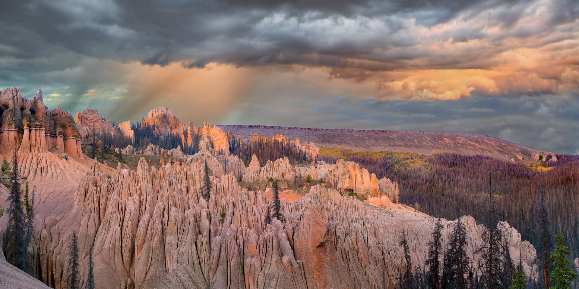
Wheeler Trail
Tenmile Range • Breckenridge, Colorado
Overview
The Wheeler Trail is the old stock driveway that crosses the Tenmile Range between the Spruce Creek valley south of Breckenridge and Copper Mountain, named for the rancher who pushed cattle over it in the 1880s. As a hike it is a 9-mile point-to-point over a 12,450-foot saddle with 2,300 feet of climbing, most of it above treeline, and the Summit Stage bus between Copper and Breckenridge makes the shuttle free.
Trail Highlights
The Route
From the Breckenridge side, the trail leaves the Spruce Creek trail about 1.5 miles above the lower trailhead and climbs north and west through spruce, then out onto the open east slope of the range. Long switchbacks gain the crest between Peaks 9 and 10 at the saddle, the high point of the day, with the Tenmile peaks running north in a line and Copper Mountain's ski area below to the west.
The descent to Copper drops through tundra and then forest on the range's steeper west side, with the trail sometimes faint across the alpine; watch for cairns. It reaches the Wheeler Flats trailhead near the Copper Mountain exit of I-70 after about 5 miles of descent. The trail can be walked in either direction; starting from Copper puts the steeper side on the way up.
Getting to the Trailhead
The Breckenridge end starts from the Spruce Creek trailhead: 2.5 miles south of town on Colorado 9 to Spruce Creek Road, then 1.2 miles of dirt to the lower lot. The Copper end is the Wheeler Junction trailhead at I-70 exit 195: go south on Highway 91, turn left at the gas station immediately past the interstate, and follow the road to the parking lot; the bike path connects it to the Copper Mountain bus stop. The Forest Service's official southern access is north of McCullough Gulch, where parking now requires a Quandary Trailhead lot reservation or the free Summit Stage shuttle from the Airport Road lot in Breckenridge, which is why the Spruce Creek approach described here is the simpler start. The Summit Stage runs between Copper and Breckenridge all day and costs nothing. No fee or permit.
Best Time to Hike
The saddle holds snow into early July and the crossing is best from mid-July through September. The upper trail is exposed for 4 or 5 miles with no shelter, so the July and August storm pattern sets the schedule: leave the trailhead at first light and be over the saddle by late morning. The aspen along Colorado 9 and the Spruce Creek road turn in the last week of September. In winter the range is avalanche terrain and the trail is not a route.
Good to Know
Dogs are allowed; the whole crossing is outside any wilderness, so voice control is the rule, but the alpine section is long and exposed for one. Not a kid hike. Carry three liters; there is water low on both sides and none across the top. The trail is faint in places on the alpine and a map or GPS track is worth having. The Spruce Creek trail and Mohawk Lakes share the Breckenridge trailhead, and the Tenmile Range page lists the rest.
Sources
Figures and access details on this page were checked against these pages on 2026-09-04. Conditions change; confirm with the managing agency before you go.
Who to call
Conditions, closures, permits, and anything left behind on Wheeler Trail.
- Managed by
- Dillon Ranger District, White River National Forest
(970) 468-5400 (Silverthorne, Mon to Fri 9 to 3) · website - Lost and found, non-emergency
- Summit County Sheriff's Office
(970) 668-8600 · websiteLost property can also be reported through the online form on the sheriff's site. Items found inside Breckenridge, Frisco, Silverthorne or Dillon go to that town's police. - Emergency
- 911. Cell coverage is patchy on most of these trails; a text to 911 can get through where a call cannot.
Numbers checked 2026-10-04. Colorado United is an independent guide, not the land manager; wallets, keys, and dogs found on the trail go to the offices above.
What to Pack
Gear guides for this kind of hike:
Frequently Asked Questions
How long does the Wheeler Trail take?
Most hikers finish the 9-mile route in about 6 hours, plus stops. Allow extra time at altitude and for photos.
How hard is the Wheeler Trail?
It is rated hard, with 2,300 feet of gain over 9 miles and a high point of 12,450 feet. Come with conditioning and high-country experience.
Is the Wheeler Trail dog-friendly?
Yes, leashed dogs are allowed. Pack water for them and clean up after them.
When is the best time to hike the Wheeler Trail?
The best seasons are summer and fall. Start early to beat both the crowds and Colorado's afternoon thunderstorms.
Do I need a pass or permit for the Wheeler Trail?
No pass or permit is required to park, though popular lots still fill early on summer weekends.
Planning a Colorado trip? Get our packing checklist.
Free PDF + a weekly note on the best trails for the current season.
We respect your inbox. Unsubscribe anytime.
Trail Information
Nearby Trails in Tenmile Range
Connected pages
- Hikes near Breckenridge
All curated trails in the Breckenridge area.
- Hiking in the Tenmile Range
Regional trail guide.
Discover More Trails
Browse our complete directory of Colorado hiking trails with detailed guides and filters.
View All Trails