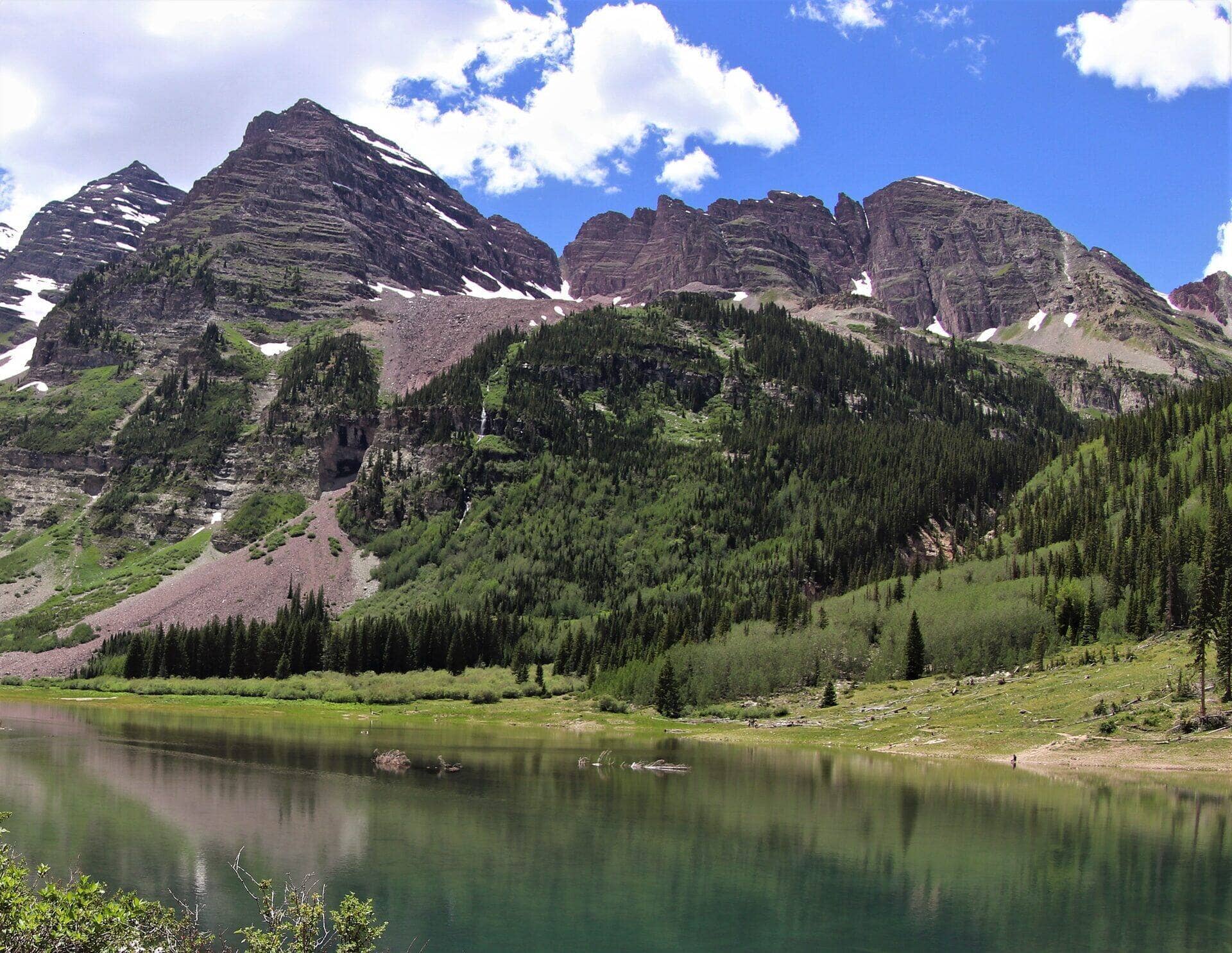
Mount Sherman (Southwest Ridge)
Mosquito Range • Fairplay, Colorado
Overview
Mount Sherman is the shortest standard route on any Colorado fourteener: 5.25 miles round trip with 2,100 feet of gain from a trailhead at 12,000 feet on Fourmile Creek Road west of Fairplay, past the ruins of the Dauntless and Hilltop mines to a 14,036-foot summit. It is the first fourteener for many people and the most popular winter fourteener in the state, because the route avoids most avalanche terrain.
Trail Highlights
The Route
From the gate on Fourmile Creek Road, walk the old mining road up the valley past the Dauntless Mine's collapsing buildings and on to the Hilltop Mine's stone ruins near 12,900 feet, with the road switchbacking through mine tailings. Above the Hilltop the road becomes a trail and climbs to the saddle between Sherman and Mount Sheridan at about 13,100 feet.
From the saddle the trail turns north up Sherman's southwest ridge, Class 2 on rock, with one narrow section near 13,700 feet where the ridge pinches and the wind hits hardest. The summit at 14,036 feet is a long, flat ridge with the true high point at the far north end. Return the same way. Mount Sheridan, a 13er, is a short walk south from the saddle.
Getting to the Trailhead
From US 285 a mile south of Fairplay, take Park County Road 18 (Fourmile Creek Road) west about 10 miles of gravel, past the Leavick townsite, to the gate at about 12,000 feet. Passenger cars manage the road in summer; the last mile is rough. Park along the road below the gate without blocking it. The pullouts fill by 6 AM on summer weekends. No fee or permit. There is no toilet.
Best Time to Hike
The road is passable from June through October and the ridge is dry from late June. The route is above treeline for its whole length and the July and August storms arrive by early afternoon; start early. In winter the road is plowed only to the Leavick area, which adds 2 to 3 miles each way, and the summit ridge wind is the hazard; the route is otherwise the safest winter fourteener in Colorado and is climbed every weekend of the year.
Good to Know
Dogs are allowed and do well on Sherman's easy ridge; keep them out of the mine workings. The Forest Service notes that the route crosses privately owned mining claims rather than public land, and that misuse could close it, so stay on the trail and leave the structures alone. Not a kid hike, though it is the fourteener where fit older kids most often start. Carry two liters; there is no water above the trailhead. The trailhead is at 12,000 feet and the altitude arrives on the first switchback; sleep in Fairplay or Alma the night before. The mine buildings are unstable and the shafts are open; do not enter anything. Fairplay has gas and groceries. The Mount Sherman guide covers the route and the winter version in detail, and the Mosquito Range page has the Decalibron next door.
Sources
Figures and access details on this page were checked against these pages on 2026-09-04. Conditions change; confirm with the managing agency before you go.
Who to call
Conditions, closures, permits, and anything left behind on Mount Sherman (Southwest Ridge).
- Managed by
- South Park Ranger District, Pike-San Isabel National Forests
(719) 836-2031 (Fairplay, Wed to Fri 10 to 3) · website - Lost and found, non-emergency
- Park County Sheriff's Office
(719) 836-4121 · websiteDispatch line; choose option 5 for non-emergency. - Emergency
- 911. Cell coverage is patchy on most of these trails; a text to 911 can get through where a call cannot.
Numbers checked 2026-10-04. Colorado United is an independent guide, not the land manager; wallets, keys, and dogs found on the trail go to the offices above.
What to Pack
Gear guides for this kind of hike:
Frequently Asked Questions
How long does the Mount Sherman (Southwest Ridge) take?
Most hikers finish the 5.25-mile route in about 5 hours, plus stops. Allow extra time at altitude and for photos.
How hard is the Mount Sherman (Southwest Ridge)?
It is rated moderate, with 2,100 feet of gain over 5.25 miles and a high point of 14,036 feet. Expect a real workout but no technical sections.
Is the Mount Sherman (Southwest Ridge) dog-friendly?
Yes, leashed dogs are allowed. Pack water for them and clean up after them.
When is the best time to hike the Mount Sherman (Southwest Ridge)?
The best seasons are summer and fall. Start early to beat both the crowds and Colorado's afternoon thunderstorms.
Do I need a pass or permit for the Mount Sherman (Southwest Ridge)?
No pass or permit is required to park, though popular lots still fill early on summer weekends.
Planning a Colorado trip? Get our packing checklist.
Free PDF + a weekly note on the best trails for the current season.
We respect your inbox. Unsubscribe anytime.
Read More About This Trail
Get additional insights, tips, and detailed information in our comprehensive guide.
Read Full Guide →Trail Information
Connected pages
- Mount Sherman full route guide
14,036 ft, Mosquito Range, Class 2
- Hiking in the Mosquito Range
Regional trail guide.
Discover More Trails
Browse our complete directory of Colorado hiking trails with detailed guides and filters.
View All Trails