Black Canyon Rim Trail
Black Canyon of the Gunnison • Montrose, Colorado
Overview
The Rim Rock Trail runs a mile along the edge of the Black Canyon of the Gunnison between the South Rim campground and the visitor center, with the canyon 2,000 feet deep beside it the whole way and the Painted Wall, the tallest cliff in Colorado, in view from the far end. It is the walk most visitors take on the South Rim, 2 miles round trip with 200 feet of rise and fall, and one of the few national park trails in Colorado that allows a leashed dog.
Trail Highlights
The Route
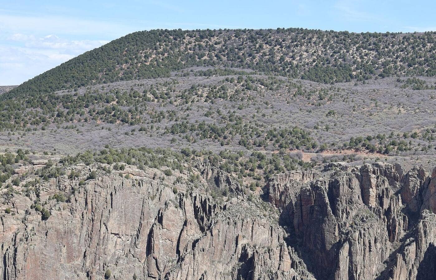
From the South Rim campground, the trail follows the rim north through pinyon and juniper, close enough to the edge that the river is audible in the gorge below and far enough that the footing is easy. The 2025 South Rim Fire burned this stretch of rim; the trail reopened for 2026 through standing dead trees and bare ground, and the park warns of uneven footing and blowing ash. Overlooks along the way give the views: the Gunnison in its narrows, the dark walls of schist and gneiss, and the pink pegmatite streaks that name the Painted Wall.
The trail reaches the South Rim Visitor Center at Gunnison Point, where the main overlook and the exhibits are, at about a mile. The Uplands trail returns through the pinyon away from the rim for a 1.9-mile loop, or retrace the rim for the 2-mile out-and-back. The Oak Flat Loop from the visitor center drops below the rim for the next step.
Getting to the Trailhead
The South Rim is 15 miles east of Montrose: US 50 east, then Colorado 347 north to the park entrance. The entrance fee is per vehicle. The trail can be started from the South Rim campground, which lost many sites to the 2025 fire and reopened with a reduced number, reservation only on Recreation.gov, or from the visitor center lot, which has toilets and water in season and fills by mid-morning in summer. The East Portal Road below the rim is closed until further notice for flood damage. The North Rim, across the canyon, is a separate 2-hour drive around.
Best Time to Hike
The rim sits at 8,100 feet and the trail is open year-round. Spring and fall are the best seasons, cool and clear, with the oak in the uplands turning in October where it survived the fire. Summer afternoons are hot on the rim and storms cross by mid-afternoon; the mornings are the time. In winter the South Rim Road stays open to the visitor center and the trail is a snowshoe or a dry walk depending on the week.
Good to Know
Dogs are allowed on leash on the Rim Rock Trail, the Cedar Point trail, and the roads and overlooks, and nowhere else in the park. The trail is flat enough for any kid, with the edge the thing to watch; the overlooks have railings and the trail between them does not. Carry water in summer. The inner canyon routes need a free wilderness permit from the visitor center and are for people who like loose gullies and poison ivy. Montrose has every service. The Black Canyon region page covers the rest of the South Rim.
Sources
Figures and access details on this page were checked against these pages on 2026-09-04. Conditions change; confirm with the managing agency before you go.
Who to call
Conditions, closures, permits, and anything left behind on Black Canyon Rim Trail.
- Managed by
- Black Canyon of the Gunnison National Park, National Park Service
(970) 641-2337 (Montrose) · website - Lost and found, non-emergency
- Montrose County Sheriff's Office
(970) 249-9110 · websiteWestCO non-emergency dispatch, 24 hours. - Emergency
- 911. Cell coverage is patchy on most of these trails; a text to 911 can get through where a call cannot.
Numbers checked 2026-10-04. Colorado United is an independent guide, not the land manager; wallets, keys, and dogs found on the trail go to the offices above.
What to Pack
Gear guides for this kind of hike:
Frequently Asked Questions
How long does the Black Canyon Rim Trail take?
Most hikers finish the 2-mile route in about 2 hours, plus stops. Allow extra time at altitude and for photos.
How hard is the Black Canyon Rim Trail?
It is rated easy, with 200 feet of gain over 2 miles and a high point of 8,100 feet. It suits most hikers in reasonable shape.
Is the Black Canyon Rim Trail dog-friendly?
Yes, leashed dogs are allowed. Pack water for them and clean up after them.
When is the best time to hike the Black Canyon Rim Trail?
The best seasons are spring, summer, and fall. Start early to beat both the crowds and Colorado's afternoon thunderstorms.
Do I need a pass or permit for the Black Canyon Rim Trail?
You need a National Park entrance pass, and many park trailheads also require a timed-entry reservation in peak season. Check the park website before you drive out.
Planning a Colorado trip? Get our packing checklist.
Free PDF + a weekly note on the best trails for the current season.
We respect your inbox. Unsubscribe anytime.
Trail Information
Connected pages
- Hiking in the Black Canyon of the Gunnison
Regional trail guide.
Discover More Trails
Browse our complete directory of Colorado hiking trails with detailed guides and filters.
View All Trails