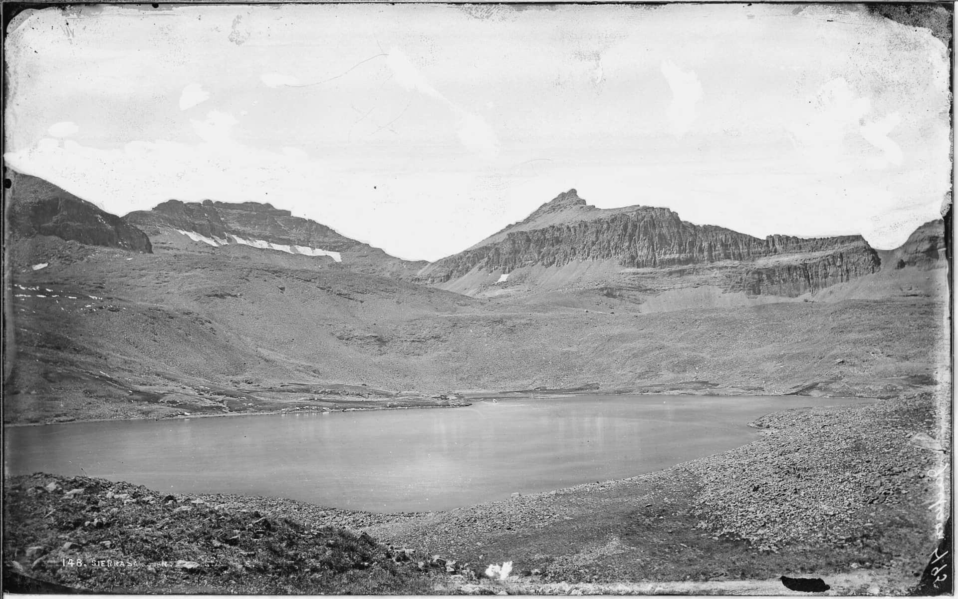
Ice Lake Basin
San Juan Mountains • Silverton, Colorado
Overview
Ice Lake is the impossibly blue lake at the head of a basin above Silverton, the image that shows up on every list of Colorado's best hikes and the reason the South Mineral trailhead is overwhelmed every July weekend. The trail climbs 2,250 feet in 3.6 miles through two basins, with waterfalls in the lower one and a wall of 13,000-foot peaks around the upper one, and the color of the water is not a filter.
Trail Highlights
The Route
From the South Mineral Campground trailhead, the trail climbs immediately into steep switchbacks through spruce and the burn scar of the 2020 Ice Fire, gaining about 1,000 feet in the first mile. Waterfalls on Clear Creek come and go on the right. The grade eases as the trail enters Lower Ice Lake Basin at about 2.5 miles, a long meadow at 11,400 feet with a small lake, wildflowers through July, and the headwall ahead.
The last mile climbs the headwall on a rebuilt trail with tight switchbacks and a few rock steps to the lip of the upper basin, and Ice Lake appears at 12,250 feet, ringed by Vermilion Peak, Golden Horn, and Pilot Knob. A side trail climbs another 400 feet south to Island Lake, a different shade of blue with a rock island, and most people who have the legs go. Fuller Lake, farther up the basin, is quieter. Return the same way; the descent of the lower switchbacks is where knees complain.
Getting to the Trailhead
From Silverton, drive 2 miles north on US 550 to the South Mineral Creek Road (Forest Road 585) on the left, then 4.4 miles of gravel to the South Mineral Campground and the trailhead. Passenger cars manage the road when dry. The lot holds about 40 cars, fills by 7 AM on July and August weekends, and overflows a half mile down the road; the Forest Service has restricted roadside parking and camping along the road to designated spots. No permit or fee for day hiking as of this writing; check the San Juan National Forest site for any reservation system before you go.
Best Time to Hike
The headwall holds snow into early July, and the upper basin is best from mid-July through September. The wildflowers in the lower basin peak in the second half of July. The monsoon delivers storms by early afternoon nearly every day in July and August, and the upper basin is entirely above treeline; be on the way down by noon. September is the quiet month, with cold mornings and the aspen along US 550 turning. Snow returns to the basin in October.
Good to Know
Dogs are allowed on leash; the basin is busy enough that off-leash dogs cause problems. The climb is long and steep for young kids, which is why the trail is not marked kid-friendly here; teenagers do fine. The trailhead is at 9,850 feet, so sleep in Silverton the night before. The Forest Service asks backpackers to camp only at the established sites in the lower basin, not at the upper lakes, where the meadows show the wear; the campground and the designated sites along the road are the car-camping alternatives. Silverton, 20 minutes away, has restaurants and lodging and no large grocery. The Silverton hikes page covers Highland Mary Lakes and the other basins.
Sources
Figures and access details on this page were checked against these pages on 2026-09-04. Conditions change; confirm with the managing agency before you go.
Who to call
Conditions, closures, permits, and anything left behind on Ice Lake Basin.
- Managed by
- Columbine Ranger District, San Juan National Forest
(970) 884-2512 (Bayfield, Fri only, 10 to 4:30) · websiteOn other weekdays call the San Juan National Forest office in Durango, (970) 247-4874, Mon, Tue, Thu and Fri 9 to 3. - Lost and found, non-emergency
- San Juan County Sheriff's Office
(970) 387-5531 · websiteOffice at 1557 Greene Street, Silverton. - Emergency
- 911. Cell coverage is patchy on most of these trails; a text to 911 can get through where a call cannot.
Numbers checked 2026-10-04. Colorado United is an independent guide, not the land manager; wallets, keys, and dogs found on the trail go to the offices above.
What to Pack
Gear guides for this kind of hike:
Frequently Asked Questions
How long does the Ice Lake Basin take?
Most hikers finish the 7.2-mile route in about 6 hours, plus stops. Allow extra time at altitude and for photos.
How hard is the Ice Lake Basin?
It is rated moderate, with 2,400 feet of gain over 7.2 miles and a high point of 12,250 feet. Expect a real workout but no technical sections.
Is the Ice Lake Basin dog-friendly?
Yes, leashed dogs are allowed. Pack water for them and clean up after them.
When is the best time to hike the Ice Lake Basin?
The best seasons are summer. Start early to beat both the crowds and Colorado's afternoon thunderstorms.
Do I need a pass or permit for the Ice Lake Basin?
No pass or permit is required to park, though popular lots still fill early on summer weekends.
Planning a Colorado trip? Get our packing checklist.
Free PDF + a weekly note on the best trails for the current season.
We respect your inbox. Unsubscribe anytime.
Trail Information
Nearby Trails in San Juan Mountains
Connected pages
- Hikes near Silverton
All curated trails in the Silverton area.
- Hiking in the San Juan Mountains
Regional trail guide.
Discover More Trails
Browse our complete directory of Colorado hiking trails with detailed guides and filters.
View All Trails