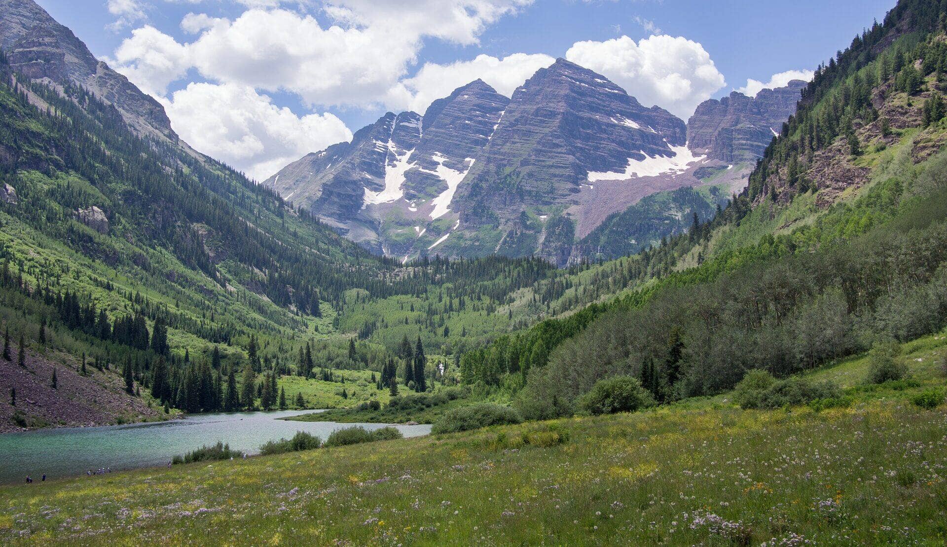
Buffalo Mountain Trail
Gore Range • Silverthorne, Colorado
Overview
Buffalo Mountain is the rounded 12,777-foot dome that fills the view west from Silverthorne and Dillon, and the trail up it is the one popular summit hike in the Gore Range: 3 miles each way from a residential street in Wildernest, with 2,900 feet of gain, half of it on a steep boulder field. The summit view runs from Dillon Reservoir and the Tenmile Range to the jagged Gore peaks behind.
Trail Highlights
The Route
From the Buffalo Cabin trailhead at the top of Ryan Gulch Road, the trail climbs through lodgepole past the ruins of the old Buffalo cabin, about half a mile in. It then steepens through spruce and a band of standing dead timber, switchbacking hard, until it breaks out of the trees around 11,000 feet at the foot of a wide boulder field.
The upper half is the workout: a cairned route straight up the talus, Class 2, with big stable rocks low and smaller loose ones near the top. Above the boulders the angle eases onto a broad tundra summit plateau, and the high point is a cairn at the west end. Mountain goats are usually somewhere on the plateau. Return the same way; the boulder field is slower going down than up.
Getting to the Trailhead
From I-70 exit 205 in Silverthorne, take Wildernest Road and Ryan Gulch Road up through the subdivision to the top, where the Buffalo Cabin trailhead is signed at about 9,750 feet. Parking is on the street, is limited, and is enforced; do not block driveways. The Summit Stage bus stops in Wildernest below the trailhead. No fee or permit; the trail enters the Eagles Nest Wilderness above the cabin.
Best Time to Hike
The boulder field holds snow into late June and the summit is best from July through early October. Wind on the plateau is constant, and the route is entirely exposed above 11,000 feet, so start early in the July and August storm season and be off the top by noon. In winter the trail is a steep snowshoe to treeline; the slopes above are serious avalanche terrain, including the path that ran to the houses in 2019, and the summit is for experienced winter climbers only.
Good to Know
Dogs are allowed on leash in the wilderness, but the Forest Service says the trail is not recommended for them: the talus is sharp enough to cut pads, and many dogs stop at the trees. Horses are allowed only on the first mile. No overnight parking at the trailhead. Not a kid hike. Carry two liters; there is no water on the route. Poles help on the descent and a helmet is reasonable for the loose upper talus. Silverthorne and Dillon have every service 10 minutes away. Lily Pad Lake, the easy wilderness lake, starts from a trailhead a few hundred yards down the same street and is the better choice on a stormy afternoon. The Gore Range page covers the rest.
Sources
Figures and access details on this page were checked against these pages on 2026-09-04. Conditions change; confirm with the managing agency before you go.
Who to call
Conditions, closures, permits, and anything left behind on Buffalo Mountain Trail.
- Managed by
- Dillon Ranger District, White River National Forest
(970) 468-5400 (Silverthorne, Mon to Fri 9 to 3) · website - Lost and found, non-emergency
- Summit County Sheriff's Office
(970) 668-8600 · websiteLost property can also be reported through the online form on the sheriff's site. Items found inside Breckenridge, Frisco, Silverthorne or Dillon go to that town's police. - Emergency
- 911. Cell coverage is patchy on most of these trails; a text to 911 can get through where a call cannot.
Numbers checked 2026-10-04. Colorado United is an independent guide, not the land manager; wallets, keys, and dogs found on the trail go to the offices above.
What to Pack
Gear guides for this kind of hike:
Frequently Asked Questions
How long does the Buffalo Mountain Trail take?
Most hikers finish the 6-mile route in about 5 hours, plus stops. Allow extra time at altitude and for photos.
How hard is the Buffalo Mountain Trail?
It is rated hard, with 2,900 feet of gain over 6 miles and a high point of 12,777 feet. Come with conditioning and high-country experience.
Is the Buffalo Mountain Trail dog-friendly?
Yes, leashed dogs are allowed. Pack water for them and clean up after them.
When is the best time to hike the Buffalo Mountain Trail?
The best seasons are summer and fall. Start early to beat both the crowds and Colorado's afternoon thunderstorms.
Do I need a pass or permit for the Buffalo Mountain Trail?
No pass or permit is required to park, though popular lots still fill early on summer weekends.
Planning a Colorado trip? Get our packing checklist.
Free PDF + a weekly note on the best trails for the current season.
We respect your inbox. Unsubscribe anytime.
Trail Information
Nearby Trails in Gore Range
Connected pages
- Hikes near Silverthorne
All curated trails in the Silverthorne area.
- Hiking in the Gore Range
Regional trail guide.
Discover More Trails
Browse our complete directory of Colorado hiking trails with detailed guides and filters.
View All Trails