Eldorado Canyon Trail
Front Range • Boulder, Colorado
Overview
Eldorado Canyon is the sandstone gorge south of Boulder where the climbing routes go up the walls, and the Eldorado Canyon Trail climbs the north side of the canyon from the Inner Canyon trailhead to an overlook above it, 1.4 miles each way with 800 feet of gain. The trail continues to Walker Ranch for a longer day, and Rattlesnake Gulch across the road leads to hotel ruins from 1908.
Trail Highlights
The Route
From the Inner Canyon lot at the west end of the park road, the Eldorado Canyon Trail climbs north on switchbacks through pine and rock, with the canyon walls and the climbers on them across the creek. The grade is steady and the footing is good.
At about 1.4 miles the trail reaches a rocky overlook with the canyon below and the Continental Divide showing to the west on clear days, the turnaround for the 2.8-mile day at about 6,400 feet. The trail continues another 2 miles, dropping into and climbing out of a side drainage, to the Crescent Meadows area of Walker Ranch, which makes an 8-mile round trip or a one-way with a car at the ranch. Return the same way.
Getting to the Trailhead
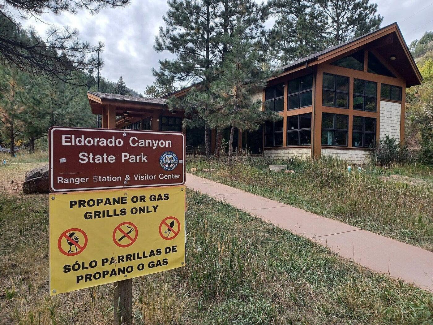
Eldorado Canyon State Park is at the end of Colorado 170 through the town of Eldorado Springs, 8 miles south of Boulder. A Colorado State Parks pass is required, $10 to $15 per vehicle daily or an annual pass. On Saturdays, Sundays, and summer holidays from May 1 through October 1, every vehicle also needs a free timed-entry reservation from CPWshop.com, made up to 30 days ahead in two-hour windows, because the lots fill by 8 AM; there is no public parking in the town of Eldorado Springs for anyone without one. The park is open sunrise to sunset. The Inner Canyon trailhead is at the far end of the park road; the visitor center has water and toilets and is closed on Thursdays. Dogs are allowed on leash.
Best Time to Hike
The canyon sits at 5,800 to 6,400 feet and the trail is open year-round. Spring and fall are ideal; summer afternoons are hot on the south-facing switchbacks and the storms arrive by mid-afternoon. In winter the trail is usually dry between storms and icy in the shade after them. The creek runs loudest in May and June.
Good to Know
Dogs are allowed on leash throughout the park. The steady grade and the overlook make it a good hike for kids; the Rattlesnake Gulch trail across the road is the other family option. Carry water; the creek is below the trail. Rattlesnakes are common in the rocks in warm months. The park's climbing is world class and watching it from the overlook is part of the day. Eldorado Springs has the historic pool; Boulder is 15 minutes. The Boulder hikes page has the rest of the foothills.
Sources
Figures and access details on this page were checked against these pages on 2026-09-04. Conditions change; confirm with the managing agency before you go.
Who to call
Conditions, closures, permits, and anything left behind on Eldorado Canyon Trail.
- Managed by
- Eldorado Canyon State Park, Colorado Parks and Wildlife
(303) 494-3943 (Eldorado Springs, visitor center daily 9 to 4, closed Thu) · website - Lost and found, non-emergency
- Boulder County Sheriff's Office
(303) 441-3629 (lost and found), non-emergency (303) 441-4444 · websiteFound property goes through Property and Evidence. Items found inside Boulder city limits go to Boulder Police. - Emergency
- 911. Cell coverage is patchy on most of these trails; a text to 911 can get through where a call cannot.
Numbers checked 2026-10-04. Colorado United is an independent guide, not the land manager; wallets, keys, and dogs found on the trail go to the offices above.
What to Pack
Gear guides for this kind of hike:
Frequently Asked Questions
How long does the Eldorado Canyon Trail take?
Most hikers finish the 2.8-mile route in about 2.5 hours, plus stops. Allow extra time at altitude and for photos.
How hard is the Eldorado Canyon Trail?
It is rated moderate, with 800 feet of gain over 2.8 miles and a high point of 6,400 feet. Expect a real workout but no technical sections.
Is the Eldorado Canyon Trail dog-friendly?
Yes, leashed dogs are allowed. Pack water for them and clean up after them.
When is the best time to hike the Eldorado Canyon Trail?
The best seasons are spring, summer, and fall. Start early to beat both the crowds and Colorado's afternoon thunderstorms.
Do I need a pass or permit for the Eldorado Canyon Trail?
You need a Colorado State Parks pass to park. Buy a day pass at the entrance or an annual pass if you visit state parks often.
Planning a Colorado trip? Get our packing checklist.
Free PDF + a weekly note on the best trails for the current season.
We respect your inbox. Unsubscribe anytime.
Trail Information
Nearby Trails in Front Range
Connected pages
- Hikes near Boulder
All curated trails in the Boulder area.
- Hiking in the Front Range
Regional trail guide.
Discover More Trails
Browse our complete directory of Colorado hiking trails with detailed guides and filters.
View All Trails