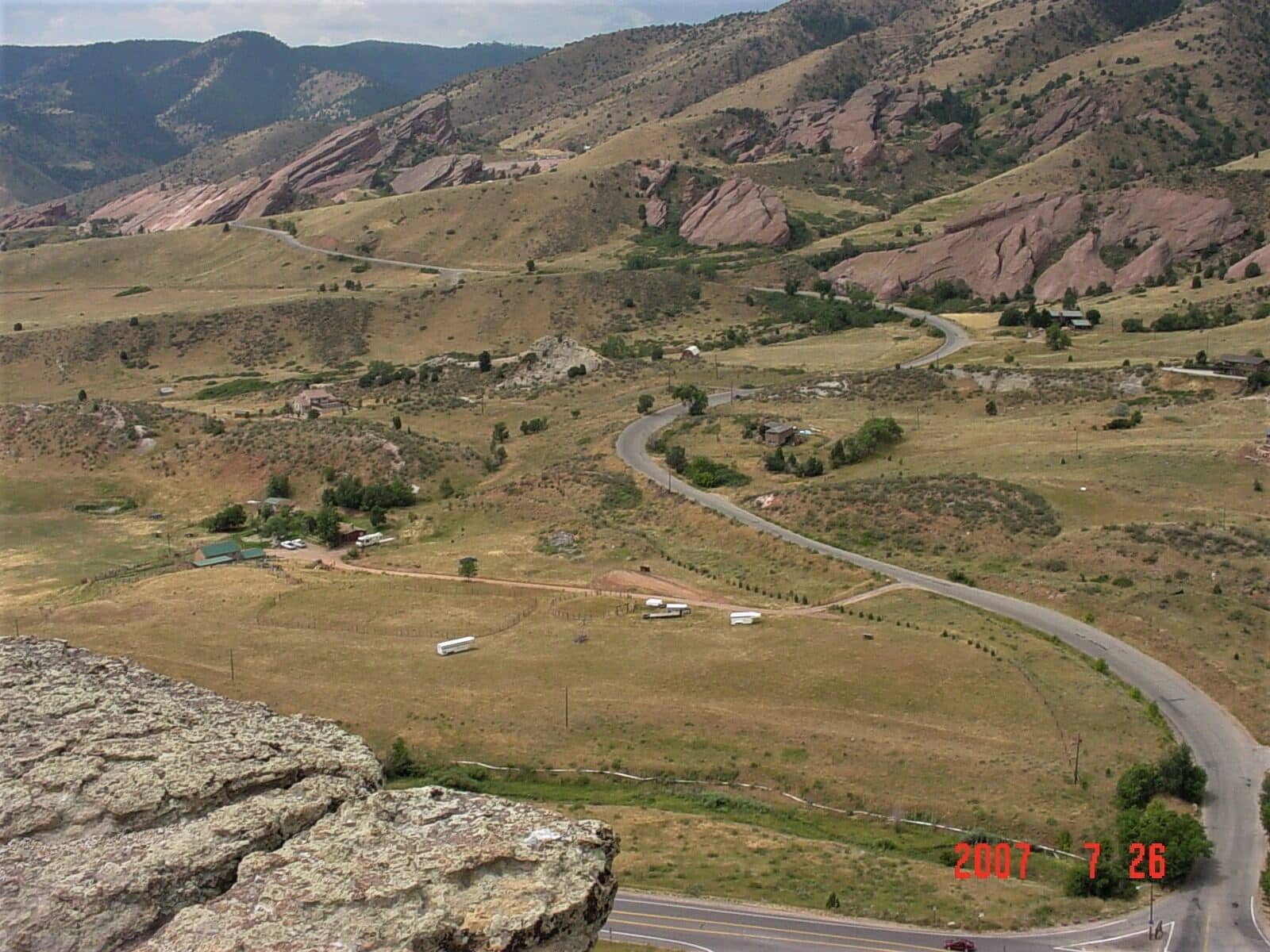
Mount Morrison Trail
Front Range • Morrison, Colorado
Overview
Mount Morrison is the 7,881-foot hogback that stands over Red Rocks Amphitheatre, and the trail up it is a Front Range training climb: 2,000 feet in under 2 miles on a loose, unrelenting ridge with no switchbacks to speak of. The summit looks straight down on the amphitheater and out across Denver, and the trail is busy at dawn with people who treat it as a stair machine.
Trail Highlights
The Route
From the small trailhead lot at the north edge of Red Rocks Park, the trail crosses the road and heads straight up the ridge. It is an unofficial route worn by years of use rather than a built trail, and it shows: loose gravel and rock, a few short scrambles, and a grade that rarely eases. The ridge is open the whole way, with Red Rocks below and the plains behind.
The summit is a rocky point with communication towers on the ridge to the south and a view over the amphitheater, Morrison, and the city. The descent is the hard part; the loose surface has turned many ankles. Return the same way, about 3.7 miles round trip.
Getting to the Trailhead
The trailhead is at Red Rocks Park's Entrance 4 on Titans Road, off Colorado 74 (Bear Creek Road) about a half mile west of Morrison; most of the trail above it is Jefferson County Open Space, part of Matthews/Winters Park, and the county only sanctions the South Ridge route. The lot holds about 20 cars and fills at dawn on weekends; the Red Rocks lots nearby are an alternative when there is no concert. No fee or permit. There is no toilet.
Best Time to Hike
The mountain is climbed year-round. Spring and fall are the comfortable seasons; summer is hot on the open ridge from mid-morning, and the climb is a dawn outing. In winter the trail is often dry and windy, with ice on the shaded rock after storms. Afternoon storms in summer catch people on the exposed ridge; be down by noon.
Good to Know
Dogs are prohibited on this trail, which is why the record shows no dogs; bikes are not allowed either. Not a kid hike. Poles help on the descent more than the ascent. Carry water; there is none. Rattlesnakes live on the lower slope. Morrison has restaurants at the bottom, and the Red Rocks Trading Post trail is the flat alternative. Mount Falcon, across the valley, is the built-trail climb with the same view, and the Denver hikes page lists the rest of the foothills.
Sources
Figures and access details on this page were checked against these pages on 2026-09-04. Conditions change; confirm with the managing agency before you go.
Who to call
Conditions, closures, permits, and anything left behind on Mount Morrison Trail.
- Managed by
- Denver Mountain Parks (Red Rocks Park), Denver Parks and Recreation
(720) 913-1311 (Denver) · websiteDenver 3-1-1 line; ask for the Mountain Parks rangers or email DenverMountainParks@denvergov.org. Red Rocks Park office (720) 865-2494. - Lost and found, non-emergency
- Jefferson County Sheriff's Office
(303) 271-5656 (lost and found), non-emergency (303) 980-7300 · websiteFound property goes through the Evidence Unit; unclaimed items are disposed of after 90 days. - Emergency
- 911. Cell coverage is patchy on most of these trails; a text to 911 can get through where a call cannot.
Numbers checked 2026-10-04. Colorado United is an independent guide, not the land manager; wallets, keys, and dogs found on the trail go to the offices above.
What to Pack
Gear guides for this kind of hike:
Frequently Asked Questions
How long does the Mount Morrison Trail take?
Most hikers finish the 3.7-mile route in about 2 hours, plus stops. Allow extra time at altitude and for photos.
How hard is the Mount Morrison Trail?
It is rated hard, with 2,000 feet of gain over 3.7 miles and a high point of 7,881 feet. Come with conditioning and high-country experience.
Is the Mount Morrison Trail dog-friendly?
No, dogs are not permitted on this trail.
When is the best time to hike the Mount Morrison Trail?
The best seasons are spring, summer, fall, and winter. Start early to beat both the crowds and Colorado's afternoon thunderstorms.
Do I need a pass or permit for the Mount Morrison Trail?
No pass or permit is required to park, though popular lots still fill early on summer weekends.
Planning a Colorado trip? Get our packing checklist.
Free PDF + a weekly note on the best trails for the current season.
We respect your inbox. Unsubscribe anytime.
Trail Information
Nearby Trails in Front Range
Connected pages
- Hikes near Denver
All curated trails in the Denver area.
- Hiking in the Front Range
Regional trail guide.
Discover More Trails
Browse our complete directory of Colorado hiking trails with detailed guides and filters.
View All Trails