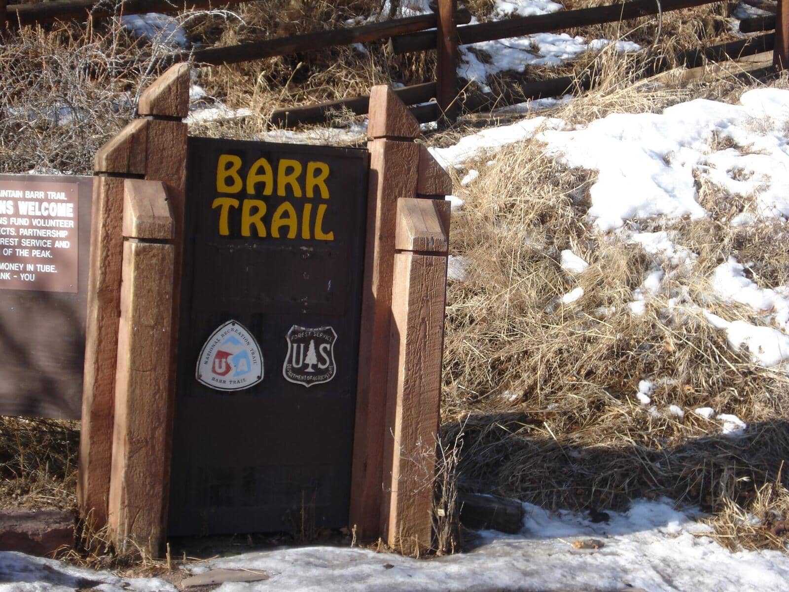
Barr Trail
Front Range • Manitou Springs, Colorado
Overview
Barr Trail is the 13-mile footpath from Manitou Springs to the summit of Pikes Peak, the longest standard route on any Colorado fourteener at 26 miles round trip with 7,400 feet of gain, starting at the lowest fourteener trailhead in the state at 6,720 feet. Barr Camp at the halfway point sells meals and bunks, and most people who climb it either sleep there or ride the cog railway or a shuttle down.
Trail Highlights
The Route
From the Barr Trail lot at the top of Ruxton Avenue, the trail switchbacks up the front of Rocky Mountain through scrub oak and pine, a steep and relentless first 3 miles that gain 2,500 feet, with the Incline's summit connector joining from the right. Above that the grade eases through ponderosa and aspen to Barr Camp at 10,200 feet, 6.5 miles in, with its cabin, water, and bunkhouses.
Above Barr Camp the trail climbs through spruce to treeline near 12,000 feet and the A-frame shelter, then switchbacks up the open east face, the Sixteen Golden Stairs, to the summit at 14,115 feet, where the road, the cog railway, and the summit house wait. The descent by trail is 13 miles and hard on legs; many climbers arrange a ride down.
Getting to the Trailhead
The Barr Trail lot at the top of Ruxton Avenue in Manitou Springs is paid, small, and full before dawn; the Hiawatha Gardens lot on Manitou Avenue has paid parking and a free shuttle up Ruxton in season. Ruxton Avenue and Winter Street are residential-permit streets, and the city tickets everyone else. Do not park in the neighborhood. No fee or permit for the trail. Barr Camp bunks, lean-tos, and meals are reserved ahead on its site. Riding the cog railway down requires a ticket bought in advance, and the summit shuttles run only in season; check both before counting on a ride.
Best Time to Hike
The lower trail is hiked year-round and Barr Camp is open all year. The summit section is safest from June through September; snow and ice cover the upper switchbacks from October into May, and the summit weather is 30 to 40 degrees colder than Manitou. Afternoon storms build over the peak by early afternoon in July and August, and the upper 3 miles are exposed; climbers leave Manitou by 3 AM or Barr Camp by first light.
Good to Know
Dogs are allowed on leash, and 26 miles is more than most dogs should do. Not a kid hike, though the walk to Barr Camp and back, 13 miles, is a long day that fit teenagers manage. Carry three liters above Barr Camp; the camp is the last water. Headlamp, layers for the summit, and poles for the descent. The Pikes Peak Barr Trail guide covers the camp, the descent options, and the timing in detail, and the Manitou Incline shares the bottom of the mountain.
Sources
Figures and access details on this page were checked against these pages on 2026-09-04. Conditions change; confirm with the managing agency before you go.
Who to call
Conditions, closures, permits, and anything left behind on Barr Trail.
- Managed by
- Pikes Peak Ranger District, Pike-San Isabel National Forests
(719) 636-1602 (Colorado Springs, Mon to Fri 8 to 4:30) · website - Lost and found, non-emergency
- El Paso County Sheriff's Office
(719) 390-5555 · websiteLost property can be filed through the online reporting system. Items found inside Colorado Springs or Manitou Springs go to that city's police. - Emergency
- 911. Cell coverage is patchy on most of these trails; a text to 911 can get through where a call cannot.
Numbers checked 2026-10-04. Colorado United is an independent guide, not the land manager; wallets, keys, and dogs found on the trail go to the offices above.
What to Pack
Gear guides for this kind of hike:
Frequently Asked Questions
How long does the Barr Trail take?
Most hikers finish the 26-mile route in about 12 hours, plus stops. Allow extra time at altitude and for photos.
How hard is the Barr Trail?
It is rated expert, with 7,400 feet of gain over 26 miles and a high point of 14,115 feet. Come with conditioning and high-country experience.
Is the Barr Trail dog-friendly?
Yes, leashed dogs are allowed. Pack water for them and clean up after them.
When is the best time to hike the Barr Trail?
The best seasons are summer and fall. Start early to beat both the crowds and Colorado's afternoon thunderstorms.
Do I need a pass or permit for the Barr Trail?
No pass or permit is required to park, though popular lots still fill early on summer weekends.
Planning a Colorado trip? Get our packing checklist.
Free PDF + a weekly note on the best trails for the current season.
We respect your inbox. Unsubscribe anytime.
Trail Information
Nearby Trails in Front Range
Connected pages
- Hikes near Colorado Springs
All curated trails in the Colorado Springs area.
- Hiking in the Front Range
Regional trail guide.
Discover More Trails
Browse our complete directory of Colorado hiking trails with detailed guides and filters.
View All Trails