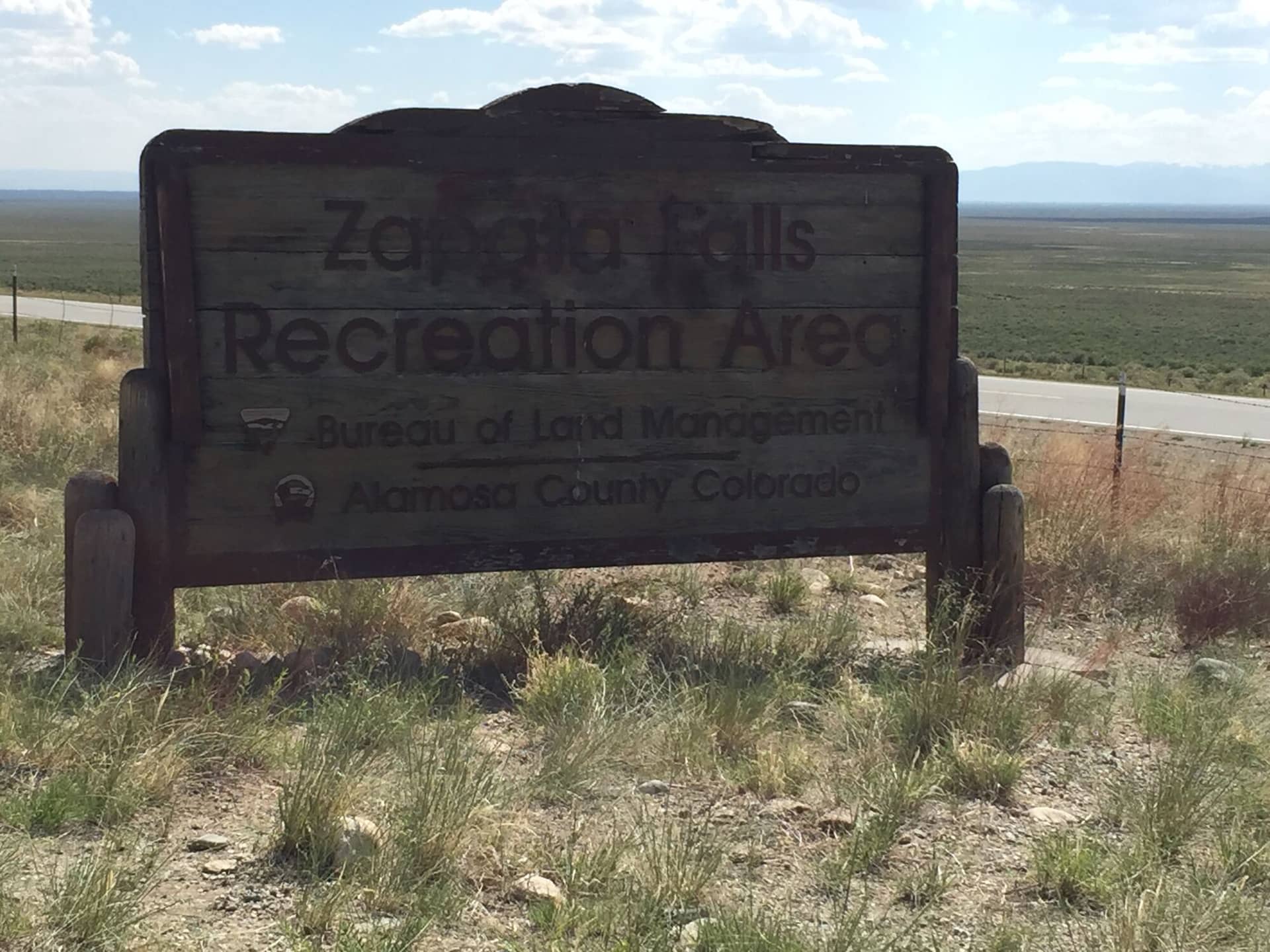
Zapata Falls
Sangre de Cristo • Alamosa, Colorado
Overview
Zapata Falls is a 30-foot waterfall inside a slot in the rock at the foot of the Sangre de Cristo, 10 minutes south of Great Sand Dunes, and the walk to it is half a mile up a rocky path and then a wade of 100 yards up the creek into the slot to see it. In winter the falls freeze solid and the wade becomes a careful walk on ice. The view of the dunes from the parking lot is the other reason to stop.
Trail Highlights
The Route
From the lot, the trail climbs gently for half a mile on a wide, rocky path through pinyon and juniper to South Zapata Creek where it leaves the slot. To see the falls, step into the creek and wade upstream over slick rocks, ankle to knee deep in summer, into a narrow canyon of dark rock where the falls drop into a pool at the back. The water is cold in every month.
The South Zapata Lake trail continues from the falls area up the creek 4 miles and 2,500 feet to an alpine lake for a real hike. Most people wade, look, and walk back down for the 1-mile version.
Getting to the Trailhead
From Colorado 150 about 8 miles north of US 160, or 4 miles south of the Great Sand Dunes entrance, turn east on the signed Zapata Falls road and climb 3.5 miles to the lot; the road was paved in 2021 and any car manages it. The area is managed by the Bureau of Land Management, and there is no fee for day use. The lot has toilets, and the Zapata Falls campground beside it has fee sites with the dunes in view.
Best Time to Hike
The falls run year-round and are loudest in May and June. Summer is the wading season, and the slot is cool when the valley is hot. In winter the falls freeze into a column, the creek freezes, and the walk into the slot is on ice; microspikes are the difference between a good visit and a fall. The road is open year-round but drifts after storms.
Good to Know
Dogs are allowed on leash. Kids love the wade and need a hand on the slick rocks; the water is cold enough to end the visit fast. Bring water shoes or sandals and a towel, and in winter bring microspikes. The rocks in the slot are wet and the footing is the hazard. Black swifts nest in the spray zone of the falls in summer; do not climb the rock beside them. The lot sits at 9,000 feet with a view of the whole dune field. Alamosa, 30 minutes away, has the services. The Alamosa hikes page has the dunes and the Blanca group, and the Sangre de Cristo page covers the range above.
Sources
Figures and access details on this page were checked against these pages on 2026-09-04. Conditions change; confirm with the managing agency before you go.
Who to call
Conditions, closures, permits, and anything left behind on Zapata Falls.
- Managed by
- San Luis Valley Field Office, Bureau of Land Management
(719) 852-7074 (Monte Vista, Mon to Fri 8 to 4:30) · website - Lost and found, non-emergency
- Alamosa County Sheriff's Office
(719) 589-5807 · website - Emergency
- 911. Cell coverage is patchy on most of these trails; a text to 911 can get through where a call cannot.
Numbers checked 2026-10-04. Colorado United is an independent guide, not the land manager; wallets, keys, and dogs found on the trail go to the offices above.
What to Pack
Gear guides for this kind of hike:
Frequently Asked Questions
How long does the Zapata Falls take?
Most hikers finish the 1-mile route in about 1 hour, plus stops. Allow extra time at altitude and for photos.
How hard is the Zapata Falls?
It is rated easy, with 200 feet of gain over 1 miles and a high point of 8,800 feet. It suits most hikers in reasonable shape.
Is the Zapata Falls dog-friendly?
Yes, leashed dogs are allowed. Pack water for them and clean up after them.
When is the best time to hike the Zapata Falls?
The best seasons are summer and fall. Start early to beat both the crowds and Colorado's afternoon thunderstorms.
Do I need a pass or permit for the Zapata Falls?
No pass or permit is required to park, though popular lots still fill early on summer weekends.
Planning a Colorado trip? Get our packing checklist.
Free PDF + a weekly note on the best trails for the current season.
We respect your inbox. Unsubscribe anytime.
Trail Information
Nearby Trails in Sangre de Cristo
Connected pages
- Hikes near Alamosa
All curated trails in the Alamosa area.
- Hiking in the Sangre de Cristo
Regional trail guide.
Discover More Trails
Browse our complete directory of Colorado hiking trails with detailed guides and filters.
View All Trails