Hiking in the Tenmile Range
The Tenmile Range rises straight out of Breckenridge, Frisco, and Copper Mountain, so its lakes, mining ruins, and one very popular fourteener are among the most accessible high-country hikes on the I-70 corridor.
8 trail guides in the Tenmile Range
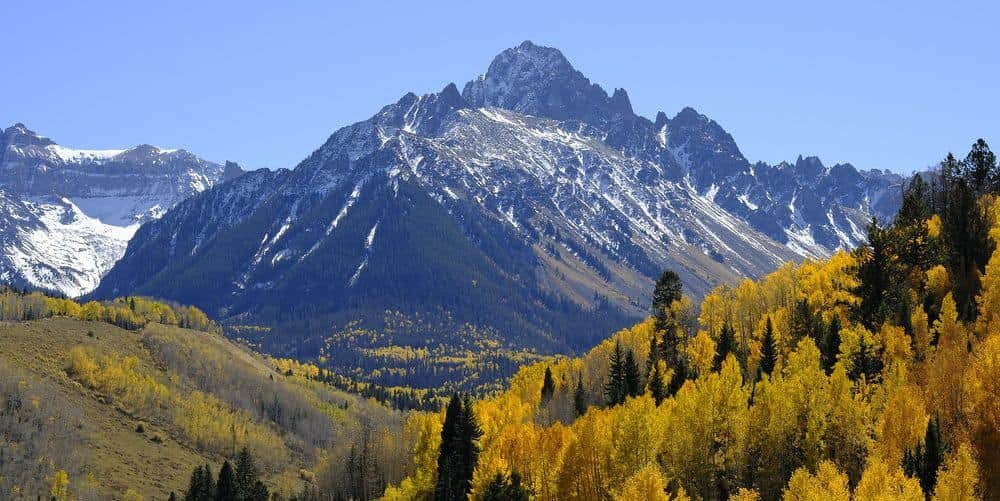
Quandary Peak
One of Colorado's most popular 14ers with well-maintained trails and stunning views of the Continental Divide. The East Ridge route is straightforward but demanding.
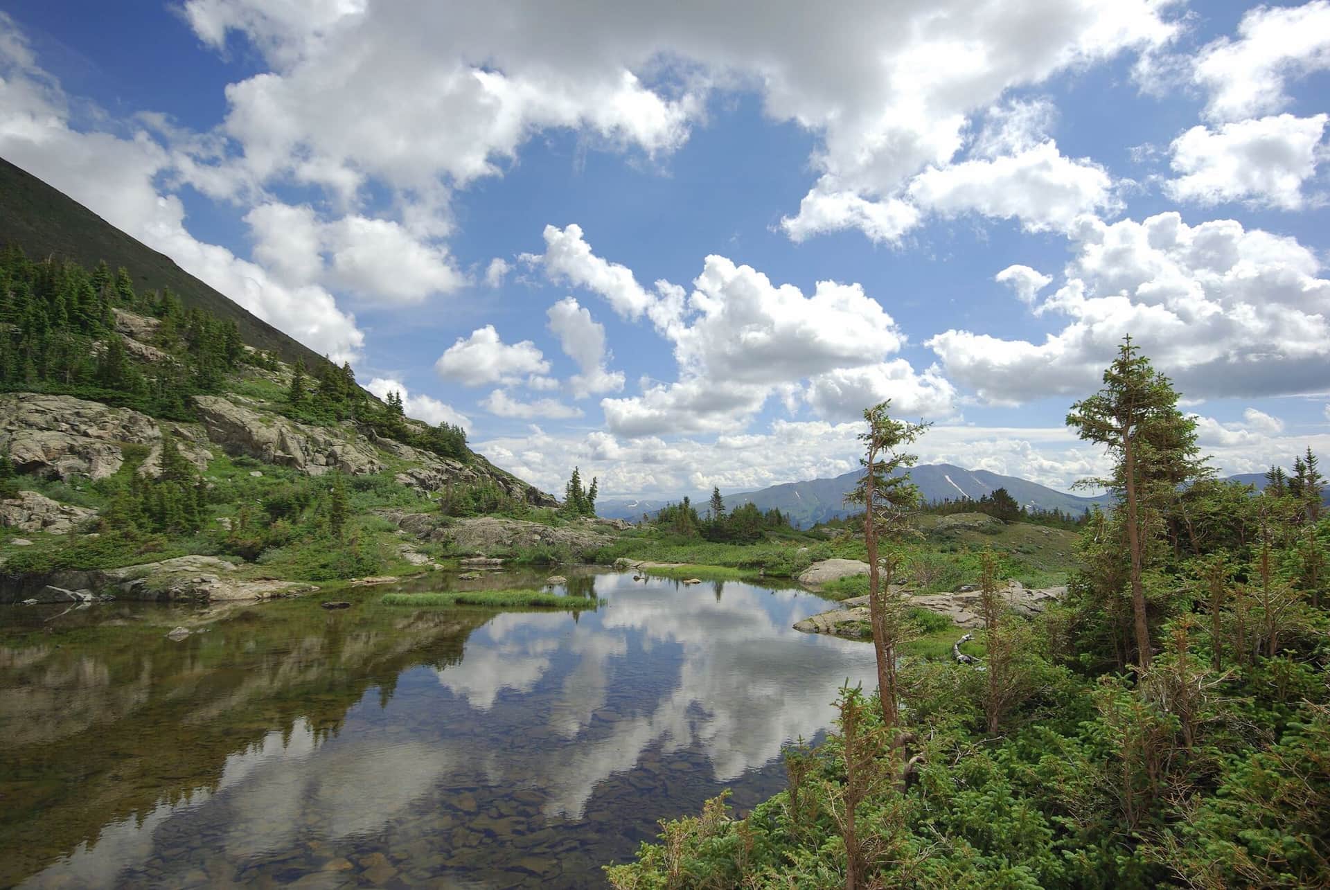
Mohawk Lakes
A scenic hike through historic mining country to pristine alpine lakes surrounded by rugged peaks. The trail passes several mining ruins and artifacts.
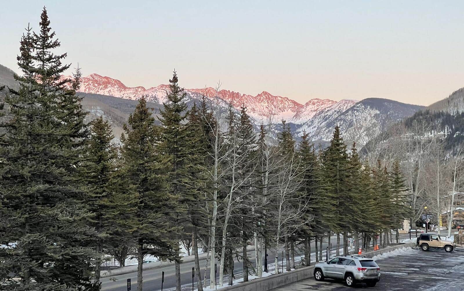
Wheeler Lakes Trail
From Vail Pass, climb to a chain of alpine lakes in the Eagles Nest Wilderness. Wildflowers in July, fewer crowds than the Breckenridge-side trails. Lake reflections of the Tenmile Range from the upper lakes.
McCullough Gulch Trail
Climb past a waterfall into a high alpine basin in the Tenmile Range. The basin holds unnamed alpine lakes with Quandary Peak rising directly above. Short but scenic; popular with Breckenridge locals.
Spruce Creek Trail
Spruce Creek Trailhead is the main approach for Mohawk Lakes and Crystal Peak. The lower trail follows Spruce Creek through aspen and conifer forest before the trail splits. Standard access for multiple destinations.
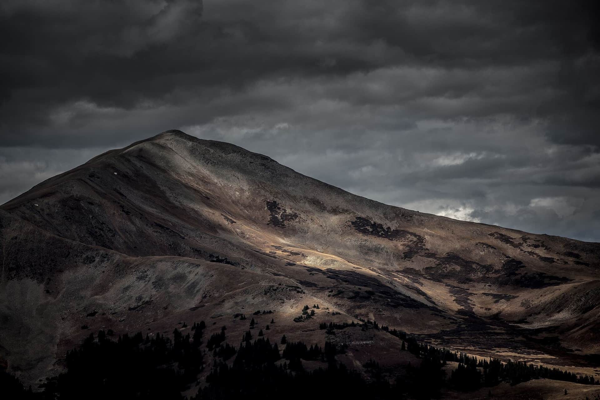
Mayflower Gulch Trail
Wide, well-graded former mining road to historic Mayflower Gulch mining ruins. Wildflowers in July, fall colors in late September. Family-friendly and accessible.
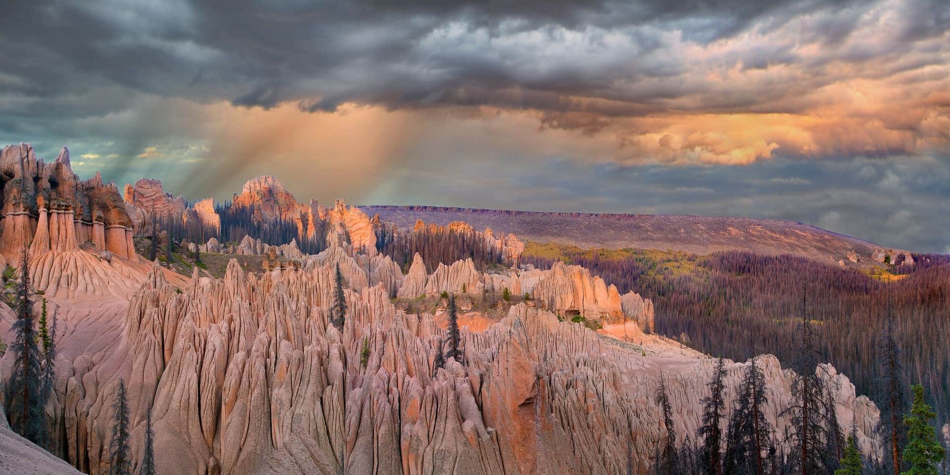
Wheeler Trail
Point-to-point crossing of the Tenmile Range between the Spruce Creek valley south of Breckenridge and Copper Mountain, over a 12,450-foot saddle on the old Wheeler stock driveway. Miles above treeline with the whole range in view. Best as a point-to-point using the free Summit Stage bus for the shuttle.
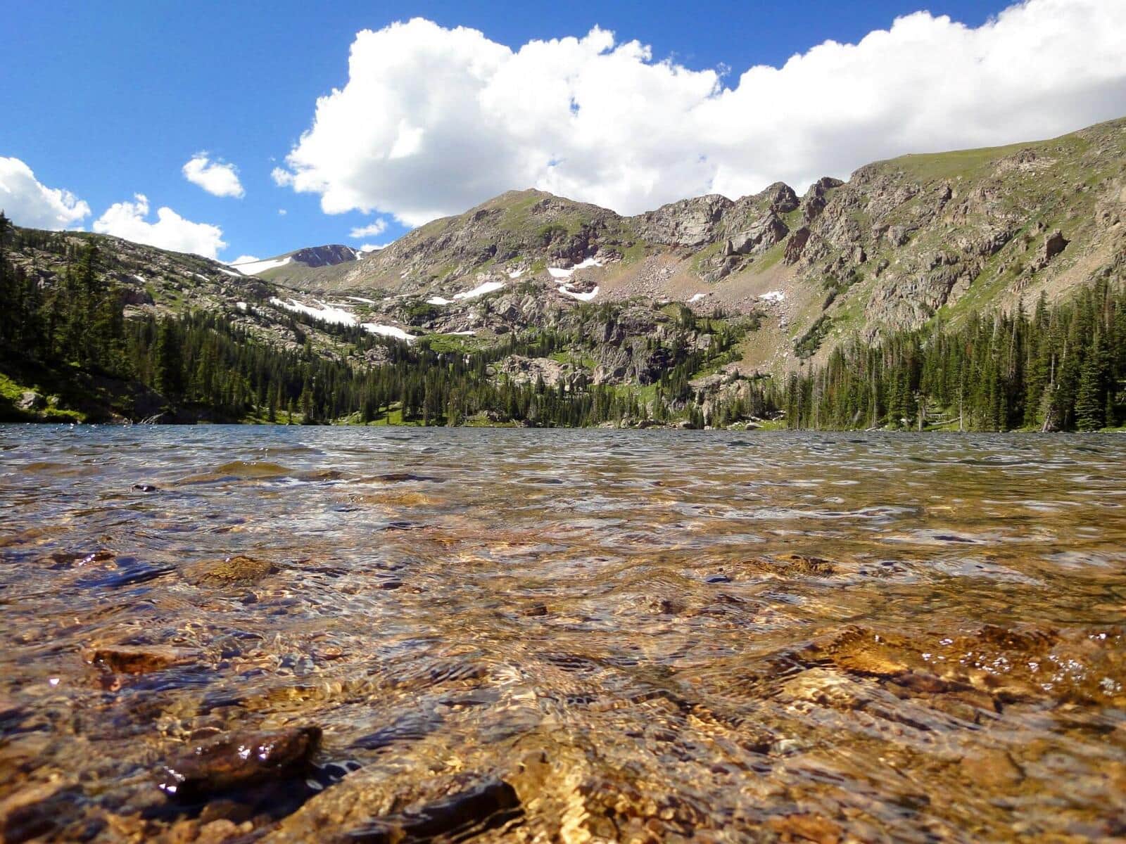
Crystal Peak Trail
Climb a high 13er in the Tenmile Range from the Spruce Creek Trailhead. Trail goes past Mohawk and Mayflower Lakes before turning up the south slopes to the summit. Excellent acclimatization climb for those preparing for 14ers.
Hiking the Tenmile Range: what to know
Quandary Peak is the reason most people come. Its East Ridge is a Class 1 trail with 3,450 feet of gain, and it draws several hundred climbers on a summer Saturday. Since 2021 Summit County has required paid parking reservations at the Quandary and McCullough Gulch trailheads from summer into fall, with a shuttle from the Airport Road lot in Breckenridge ($7 round trip for visitors, free for Summit County residents) as the alternative. Book before you drive; the lots are enforced. The Quandary Peak guide covers the route, and the McCullough Gulch guide covers the waterfall and lakes below it.
The rest of the range is quieter. Spruce Creek Road, south of Breckenridge, serves the Mohawk Lakes trail past Continental Falls, the Spruce Creek trail, and the long day up Crystal Peak. Mayflower Gulch, off Highway 91 between Copper and Fremont Pass, is a short walk to the Boston Mine ruins and one of the most popular snowshoe routes in the county in winter. Wheeler Lakes climbs from the Copper Mountain side of I-70, and the Wheeler Trail crosses the range between Copper and Breckenridge.
Trailheads sit between 10,000 and 11,000 feet, higher than most of Colorado, so altitude arrives on the first switchback. Sleeping a night in Breckenridge or Frisco before a big day helps. The high lakes and Quandary are in condition from late June through early October; the lower gulches open a few weeks earlier and close a few weeks later. Afternoon storms are daily from June through August.
Summit County is compact, so a rained-out morning still leaves an afternoon for the Frisco and Breckenridge trail systems, Dillon Reservoir, and the free Summit Stage bus that connects all of it.
14ers in the Tenmile Range
One Colorado fourteener stands in this range.
Browse all 58 Colorado 14ers →Other Colorado Regions
- Black Canyon of the Gunnison →
- Flat Tops Wilderness →
- Front Range →
- Gore Range →
- Indian Peaks Wilderness →
- Maroon Bells-Snowmass Wilderness →
- Mosquito Range →
- Mount Zirkel Wilderness →
- Park Range →
- Rocky Mountain National Park →
- San Juan Mountains →
- Sangre de Cristo →
- Sawatch Range →
- White River National Forest →