Hiking in the Park Range
The Park Range is the ridge of the Continental Divide east of Steamboat Springs, crossed by Rabbit Ears and Buffalo passes, with a 280-foot waterfall on the edge of town and a trail network that starts at the downtown bus stop.
4 trail guides in the Park Range
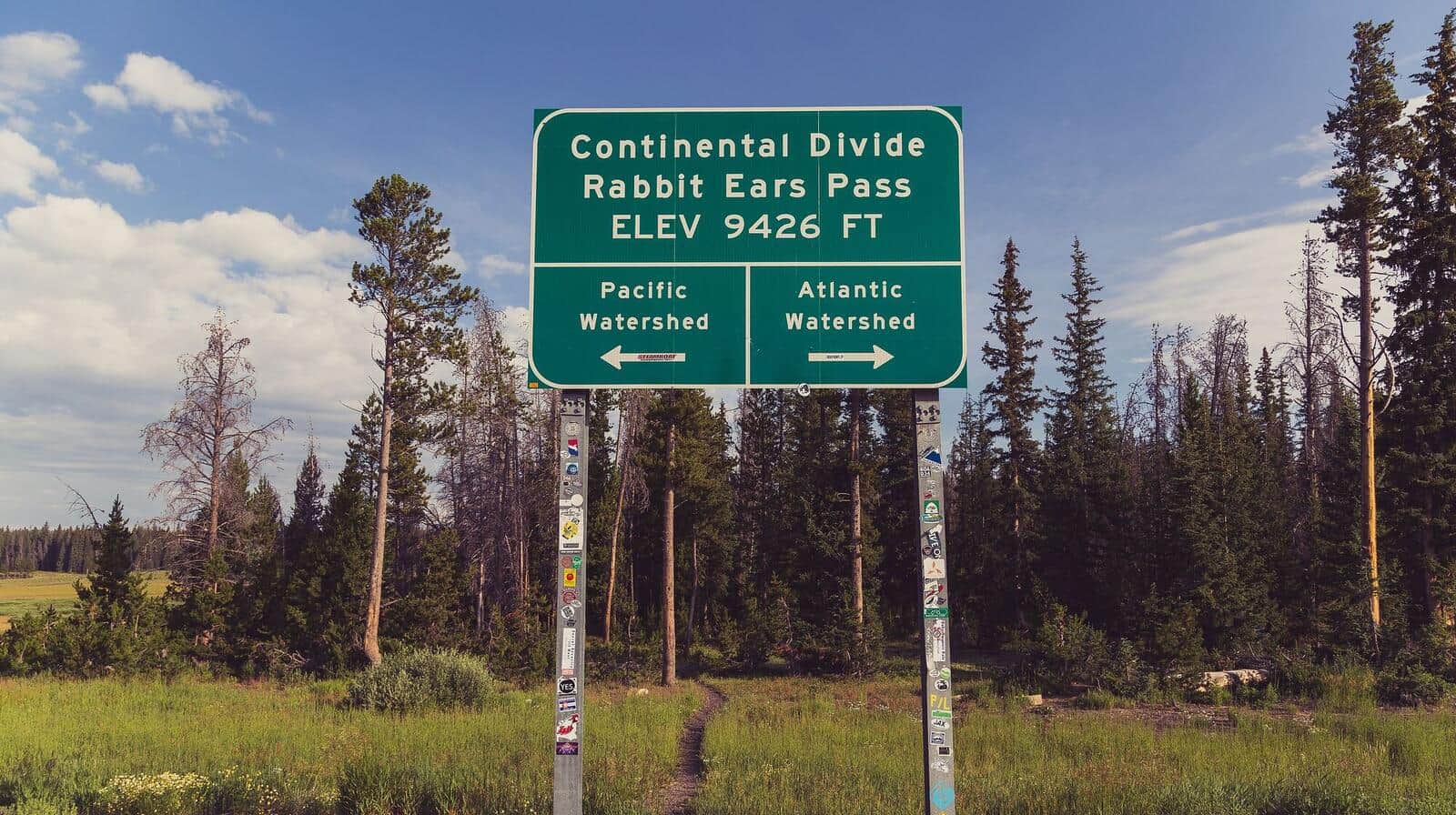
Rabbit Ears Pass Trail
Moderate hike from Dumont Lake to the distinctive rabbit-ear-shaped rock formations on the summit of Rabbit Ears Peak. Wildflower meadows in summer, aspen color in late September, and one of the most photographed peaks along the Continental Divide.
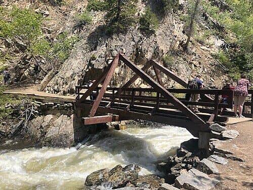
Fish Creek Falls Trail
Short walk to a viewing platform of Fish Creek Falls, a 280-foot cascade just outside Steamboat Springs. The upper trail continues to a second viewpoint at the top of the falls. Iconic Steamboat photo destination.
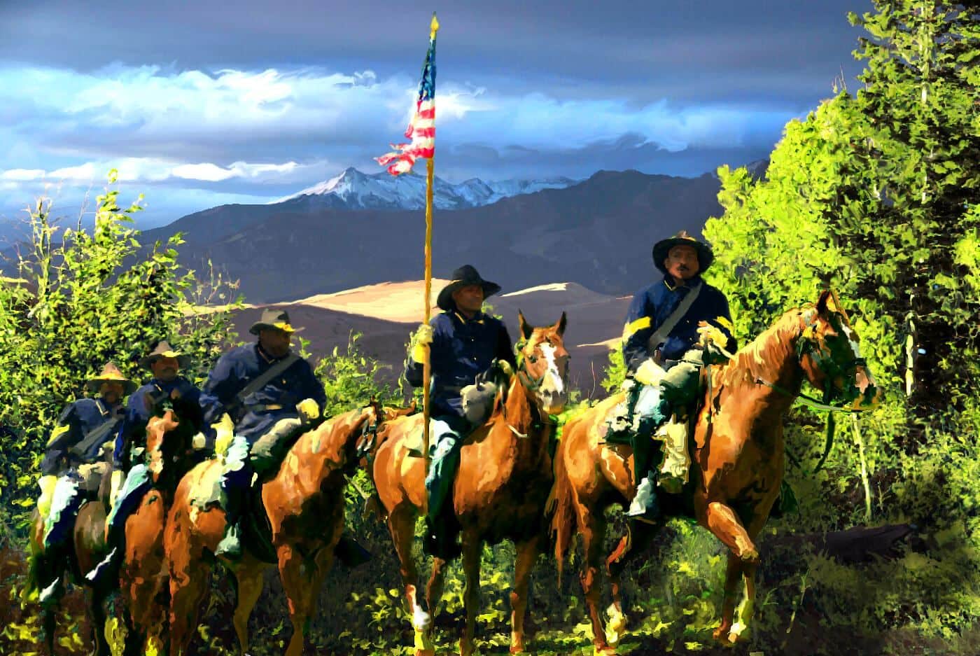
Buffalo Pass Trail
Continental Divide pass east of Steamboat. The trail / road climbs through dense forest to the open pass with views back to town. Mountain bike popular; hike-friendly in shoulder seasons.
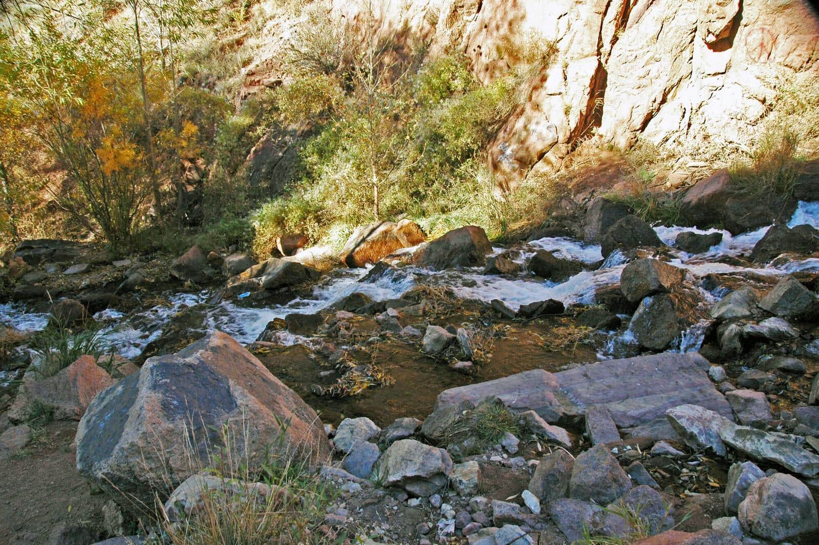
Spring Creek Trail
Popular in-town Steamboat trail starting from downtown. Follows Spring Creek through riparian zone with multiple stream crossings on bridges. Mountain bikers share the trail. Family-friendly entry to Steamboat outdoor recreation.
Hiking the Park Range: what to know
Fish Creek Falls is the hike everyone does first. It is 4 miles from downtown Steamboat, has a $5 parking lot that fills by mid-morning in summer, and offers a quarter-mile paved walk to the overlook or a steep 2.5-mile climb to the upper falls. The footbridge at the base of the falls, and the trail beyond it, close every year from April 1 until about July 1 for high water. Go early or take the city bus to the trailhead road.
From town, Spring Creek Trail climbs a shady canyon that mountain bikers share, and Emerald Mountain's network starts across the river from downtown. Rabbit Ears Pass, 20 miles east on US 40, has trailheads for the Rabbit Ears Peak walk and miles of gentle divide country that becomes the Steamboat Nordic scene in winter. Buffalo Pass, up a gravel county road north of town, reaches Summit Lake and the Wyoming Trail along the Divide at 10,180 feet; passenger cars manage the road in dry conditions.
The high trails are under snow until early July most years and are at their best from mid-July through September. Mosquitoes around the divide lakes are fierce until early August. Afternoon thunderstorms are the July and August pattern; Steamboat gets fewer than the southern ranges but not none. Fall color on Rabbit Ears Pass and in the Yampa Valley peaks in the last week of September.
Steamboat has the services and two public hot springs: Old Town in the middle of town and Strawberry Park up a dirt road north of it, covered in the Steamboat hot springs guide. Forest Service campgrounds sit on both passes, and the Mount Zirkel Wilderness begins just north of Buffalo Pass.
Other Colorado Regions
- Black Canyon of the Gunnison →
- Flat Tops Wilderness →
- Front Range →
- Gore Range →
- Indian Peaks Wilderness →
- Maroon Bells-Snowmass Wilderness →
- Mosquito Range →
- Mount Zirkel Wilderness →
- Rocky Mountain National Park →
- San Juan Mountains →
- Sangre de Cristo →
- Sawatch Range →
- Tenmile Range →
- White River National Forest →