Hiking in the Flat Tops Wilderness
The Flat Tops are a volcanic plateau between Yampa and Meeker, the second largest wilderness in Colorado, and home to the Devils Causeway, a natural rock walkway a few feet wide with several hundred feet of air on each side.
2 trail guides in the Flat Tops Wilderness
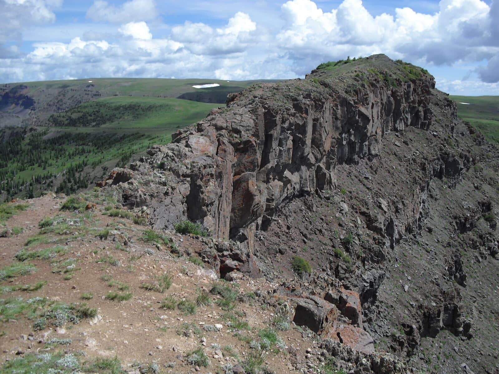
Devils Causeway Trail
Famous ridge traverse in the Flat Tops Wilderness. The Causeway is a 4-foot-wide rocky knife-edge ridge with dramatic exposure on both sides. From the Stillwater Reservoir Trailhead, climb to the ridge and traverse the narrow section. Vertigo-inducing for some.
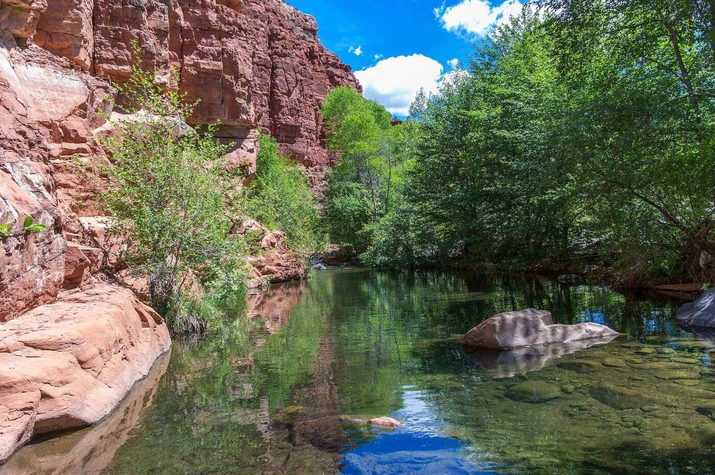
Service Creek Trail
Lower-elevation Flat Tops trail through aspen forest along Service Creek. Excellent shoulder-season option when high country is still snowy. Wildlife viewing for deer and the occasional moose.
Hiking the Flat Tops Wilderness: what to know
The plateau sits at 11,000 to 12,000 feet, rimmed by cliffs and dotted with more than a hundred lakes. The east entry is the Stillwater Reservoir trailhead at the end of County Road 7 south of Yampa, a gravel road that any car can drive in summer. From there the Devils Causeway is about 6 miles round trip and 1,500 feet of gain to the crossing; the walkway itself is roughly 3 feet wide for about 50 feet, with no scrambling but real exposure. Plenty of people walk to the edge, look, and turn around, which is a fine plan. The full loop over the plateau and back by Bear River adds another 5 miles.
The west entry is Trappers Lake near Meeker, the place where Forest Service landscape architect Arthur Carhart argued in 1919 that some country should be left roadless, an idea that became the wilderness system. The Bear River and Chinese Wall trails link the two sides across the top. The Service Creek trail listed here is a lower, earlier-opening walk in the small Sarvis Creek Wilderness east of Stagecoach Reservoir, a good May or October alternative when the plateau is still under snow.
Snow lingers on the plateau into July, and July is also peak mosquito season around the lakes; August and September are the reliable months. Storms build over the flat top with nothing to hide behind, so cross the Causeway in the morning. Elk hunting season in October brings a different crowd to the same trailheads.
Camping is easy: Forest Service campgrounds at Bear Lake and Horseshoe on the road to Stillwater and at Trappers Lake, and dispersed sites along the access roads. Yampa has a gas station and a diner; Steamboat Springs, an hour away, has the rest.