Hiking in the Sangre de Cristo
The Sangre de Cristo is a single knife-edge ridge of 13,000 and 14,000-foot peaks rising a mile above the San Luis Valley, with the Great Sand Dunes at its western foot and the hardest fourteener access roads in Colorado on its flanks.
7 trail guides in the Sangre de Cristo
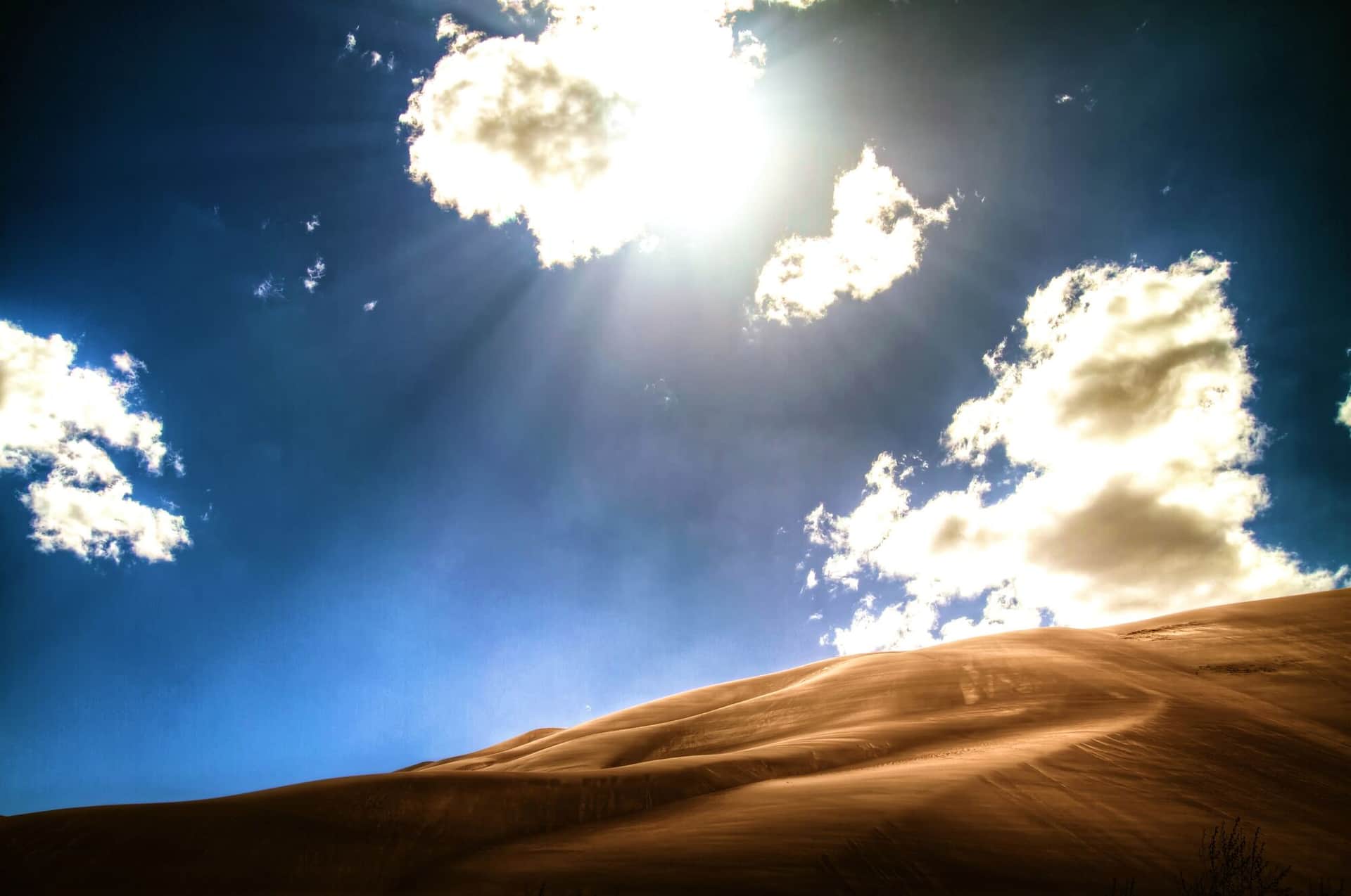
Great Sand Dunes National Park Nature Trail
An interpretive loop trail through wetlands and grasslands with views of North America's tallest sand dunes and the Sangre de Cristo Mountains backdrop.
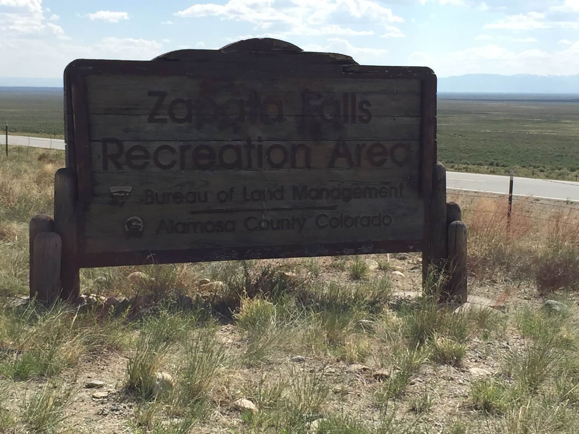
Zapata Falls
A short hike to a hidden waterfall in a narrow canyon slot. The final approach requires wading through cold water to reach the 30-foot cascade.
Crestone Peak (South Face)
One of Colorado's toughest 14ers. Class 3 South Face route from South Colony Lakes. Solid conglomerate rock, real exposure, and a long approach. Helmet required.
Crestone Needle (South Face)
Famous Class 3 line up the south face from Broken Hand Pass. Tight gully route requires solid scrambling skill and helmet. Pair with Crestone Peak for the classic traverse.
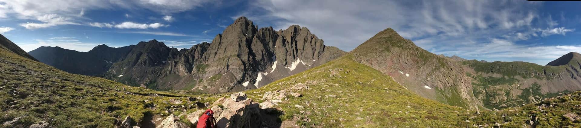
Humboldt Peak (West Ridge)
Easiest 14er in the Sangres at Class 2. Standard route from South Colony Lakes basin, with stunning views of the Crestones across the cirque. Solid first 14er in the range.
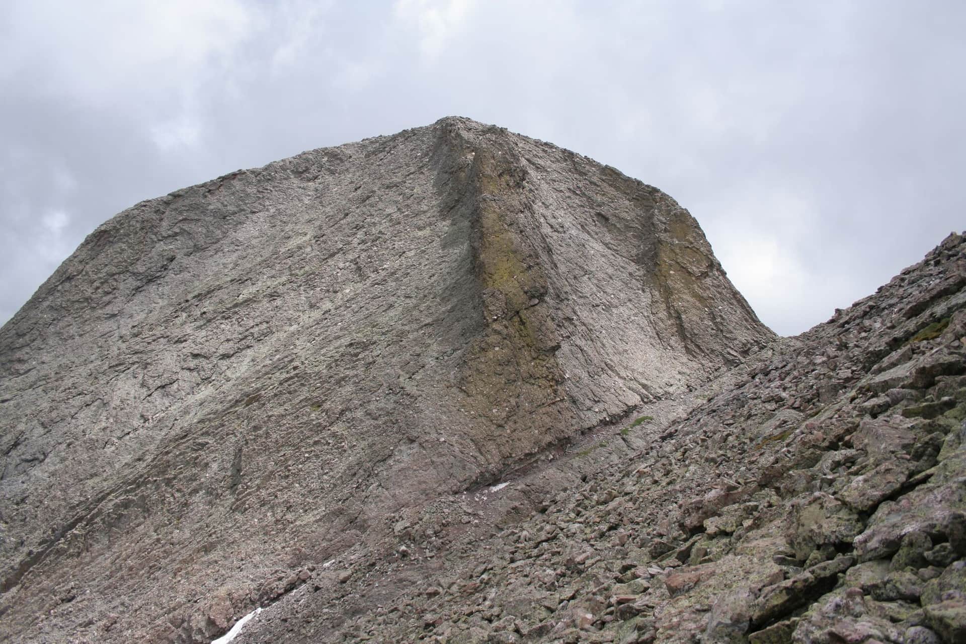
Kit Carson Peak and Challenger Point
Two 14ers in one long day via the West Ridge from Willow Lake. Challenger Point first, then a tricky route-finding section called the Avenue to reach Kit Carson. Class 3.
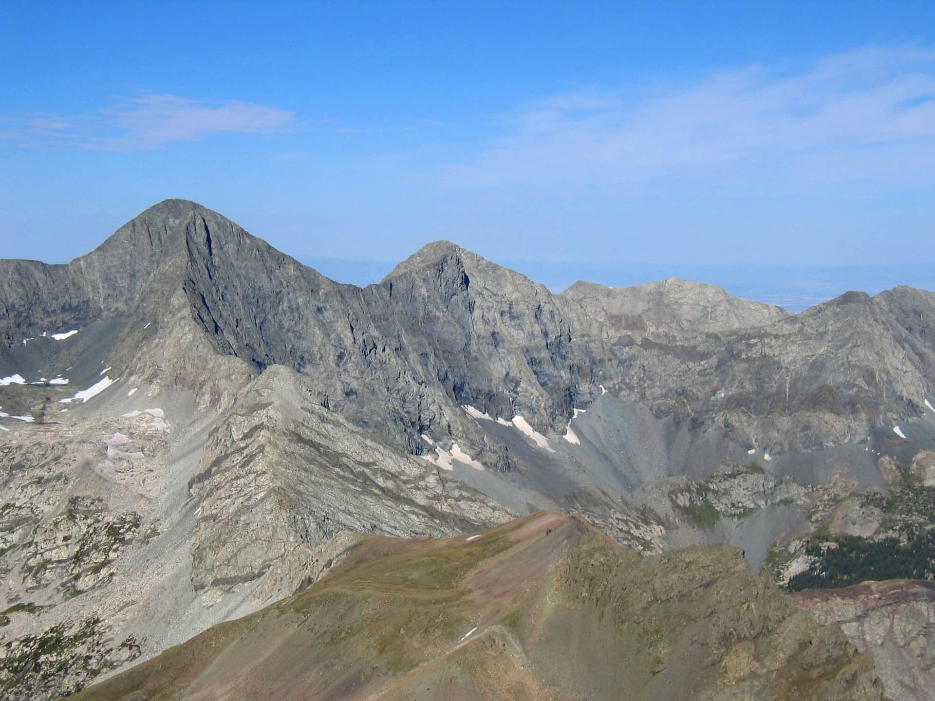
Blanca Peak and Ellingwood Point
Two 14ers in the Blanca Massif. Lake Como Road is one of the roughest 4WD approaches in Colorado; most hikers start lower and add miles. Class 2 once on the peaks.
Hiking the Sangre de Cristo: what to know
The range is steep on both sides, dry, and windy, and its trailheads are far apart. The easy hiking is at the bottom. Great Sand Dunes National Park has no trails on the sand itself; the walk to High Dune is about 2.5 miles round trip and the Nature Trail near the visitor center is a short loop. Sand surface temperatures reach 150 degrees on summer afternoons, so hike the dunes at dawn or after dinner, and bring shoes you can empty. Medano Creek runs across the dune field from late May into June and is the park's best family attraction. Zapata Falls, just south of the park on BLM land, is a half-mile walk up a rough road to a waterfall inside a slot; you wade the last stretch, and it freezes solid in winter.
Above that, everything is a fourteener approach. Westcliffe is the base for the Crestones and Humboldt Peak by way of the South Colony Lakes road, which is 2WD to the lower lot and rough 4WD to the upper one, with a 2.5-mile walk on the closed road above that. Crestone, on the valley side, has the Willow Creek trailhead for Kit Carson Peak and Challenger Point. Blanca Peak, Ellingwood Point, and Little Bear start from the Lake Como road out of the town of Blanca, a road that most people walk because few vehicles can drive it.
The high routes are in condition from July through September; the couloirs hold snow into July. The range sits in a rain shadow, so it gets fewer afternoon storms than the San Juans, but the wind on the ridge is constant. Westcliffe is a certified dark-sky town, and the campgrounds at the Sand Dunes and along the South Colony road fill on summer weekends. Alamosa, 35 minutes from the dunes, has the services.
14ers in the Sangre de Cristo
10 Colorado fourteeners (peaks over 14,000 feet) stand in this range.