Hiking in the Mount Zirkel Wilderness
The Mount Zirkel Wilderness is the glaciated high country north of Steamboat Springs, where the Continental Divide is lined with lakes and the Zirkel Circle loop is the classic day.
2 trail guides in the Mount Zirkel Wilderness
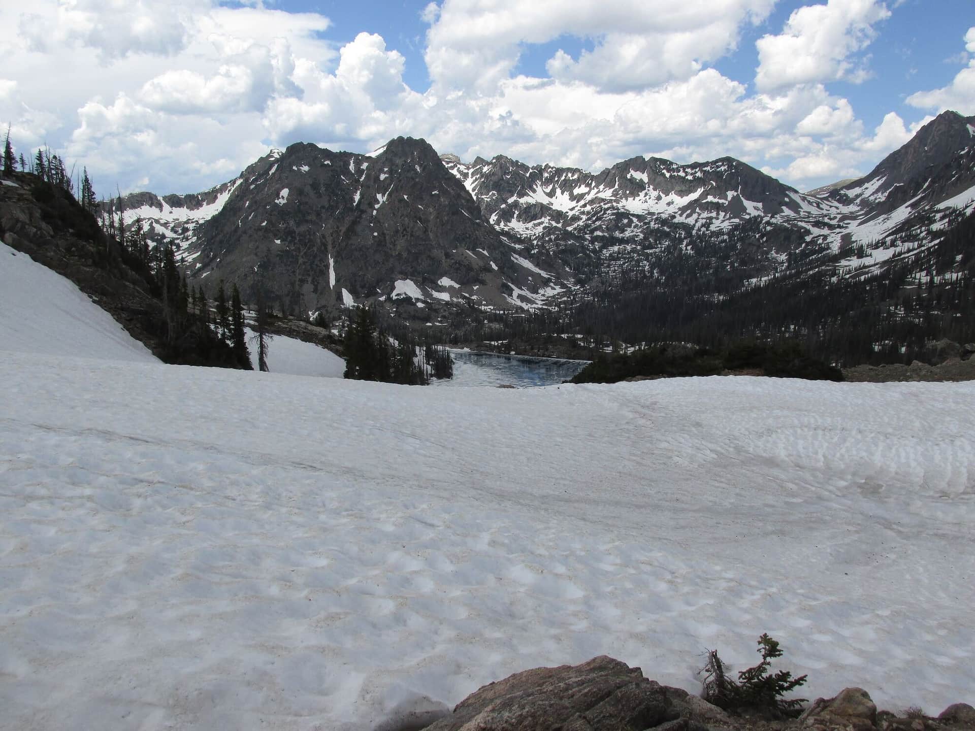
Gilpin Lake Trail
Premier Mount Zirkel Wilderness loop combining Gilpin Lake, Gold Creek Lake, and Mica Basin. The lakes are dramatic alpine destinations with the Sawtooth Range looming above. Backpack-friendly with multiple camp sites.
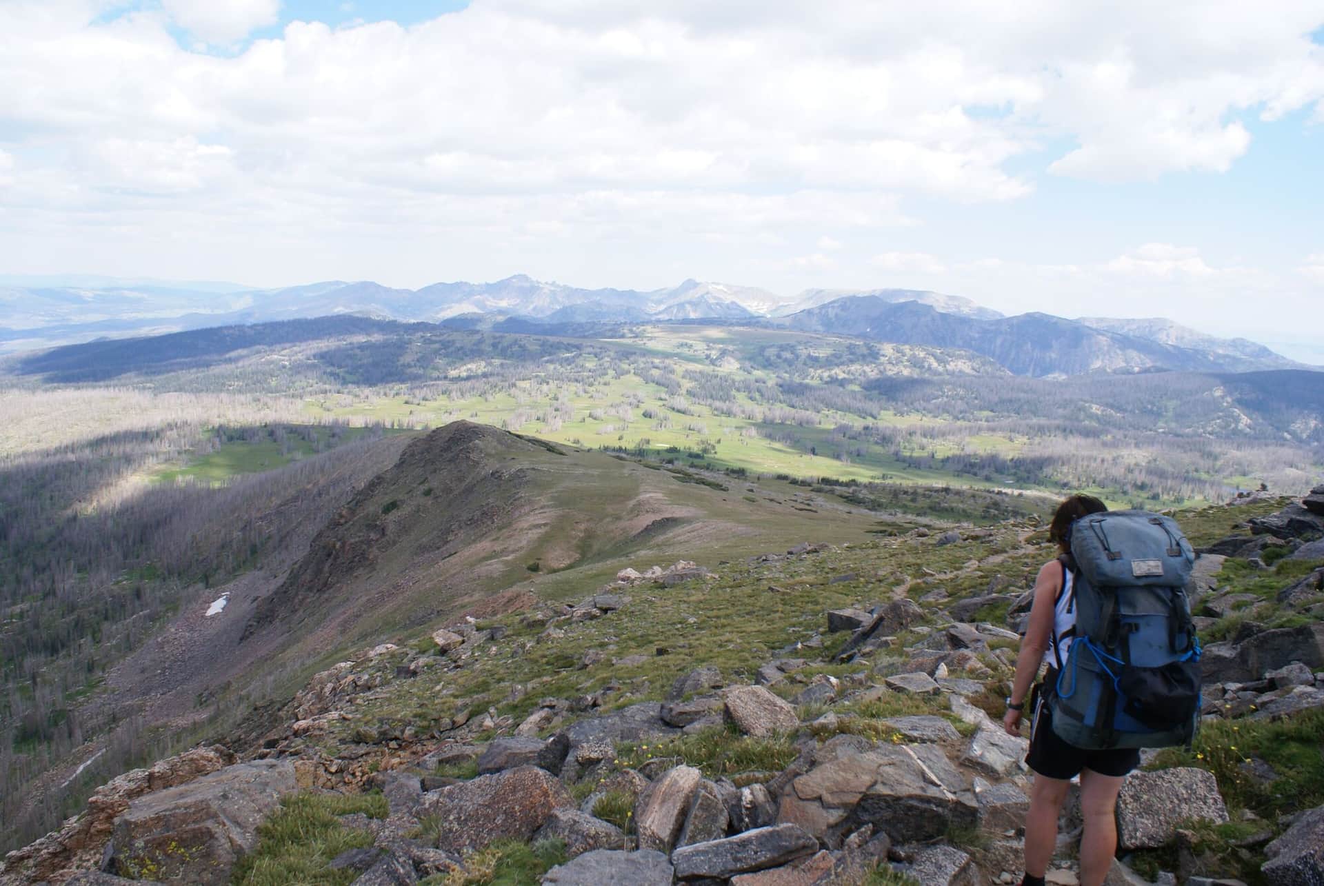
Mount Zirkel Trail
Summit climb to Mount Zirkel (12,180 ft), the high point of the Park Range. From the Slavonia Trailhead, climb past Gilpin Lake, then up to the summit. Real backcountry day requiring acclimatization and full preparation.
Hiking the Mount Zirkel Wilderness: what to know
Almost everyone starts at the Slavonia trailhead, at the end of Seedhouse Road (County Road 60, then Forest Road 400) about an hour north of Steamboat: 20 miles of pavement to the ranch town of Clark, then 15 miles of county and forest road that is fine for passenger cars in summer. Parking costs $5 per vehicle per day, paid on Recreation.gov or in cash at the lot. From Slavonia, the Gilpin Lake and Gold Creek trails form the Zirkel Circle, a loop of roughly 10.5 miles that crosses a 10,800-foot pass above Gilpin Lake; camping is banned within a quarter mile of both lakes. Most people hike it counterclockwise, Gilpin first, to put the steep pass on fresh legs. The Mount Zirkel summit route leaves the trail at the pass above Gilpin Lake and follows the Divide north off-trail, a long day of about 17 miles.
The 1997 Routt Divide Blowdown flattened thousands of acres here, and the beetle kill that followed left standing dead timber along the trails. The Forest Service has cleared the main routes, but expect deadfall on anything secondary, and do not camp under dead trees on a windy night.
The lakes are frozen and the trails snowbound into late June; July through September is the season, and the first two weeks of July are peak mosquito. Moose are common in the willows along Gilpin Creek; give them the trail. Afternoon storms are the July and August pattern.
Camping: Seedhouse and Hinman Park campgrounds sit along the access road, and dispersed sites are allowed along Forest Road 400 outside the wilderness. Inside the wilderness, camp 100 feet from lakes and trails and skip the fire. Clark has a general store; Steamboat has everything else.