Hiking in the Black Canyon of the Gunnison
Black Canyon of the Gunnison National Park is a 2,000-foot slot in the Gunnison uplift, narrow enough that parts of the floor get less than an hour of sun a day, with rim trails for everyone and inner-canyon routes for people who like scrambling down loose gullies.
The trail guide in the Black Canyon of the Gunnison
Hiking the Black Canyon of the Gunnison: what to know
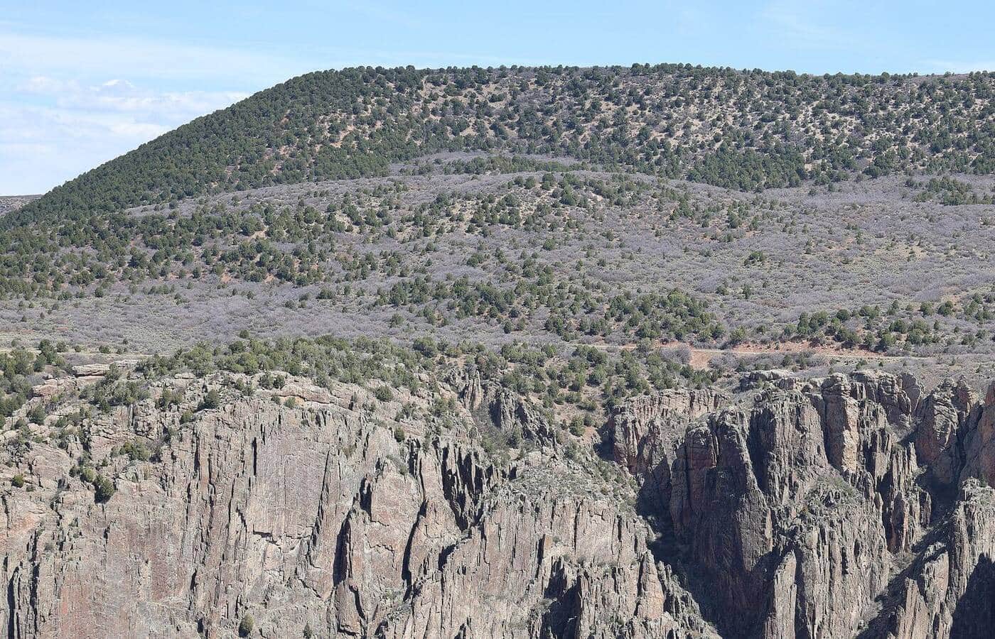
The South Rim, 15 miles east of Montrose off US 50 and Colorado 347, is where nearly everyone goes. The seven-mile South Rim Road strings together a dozen overlooks, including the Painted Wall, at 2,250 feet the tallest cliff in Colorado. The Rim Rock Trail runs a mile along the edge from the campground to the visitor center, the Oak Flat Loop drops a little below the rim for a 2-mile look at the canyon from inside, and Warner Point at the end of the road is a 1.5-mile round trip to the park's best view of the Gunnison far below. The North Rim, reached by a gravel road from Crawford, is quieter and closed to vehicles in winter.
The inner canyon has no maintained trails. The Gunnison Route on the South Rim drops about 1,800 feet in a mile to the river, with an 80-foot chain to hold on the steepest part, and takes most people four to six hours round trip. Inner-canyon wilderness permits are limited per day and issued only through Recreation.gov from May through October; from November through April rangers hand them out at the South Rim Visitor Center. The 2025 South Rim Fire burned the rim around the campground and visitor center; the rim trails reopened for 2026 through standing dead trees, the Gunnison and Warner routes are open, and the Tomichi route is closed until further notice. Poison ivy grows chest high along the river.
The rim sits at about 8,000 feet, which keeps summer bearable and makes spring and fall the best seasons; the inner canyon is hot by July. South Rim Road stays open to Gunnison Point in winter, when the rim trails make good snowshoe walks. The entrance fee is per vehicle, the South Rim campground takes reservations, and Montrose has the services. The Black Canyon Rim Trail page covers the walk most visitors take.