Hiking in the Sawatch Range
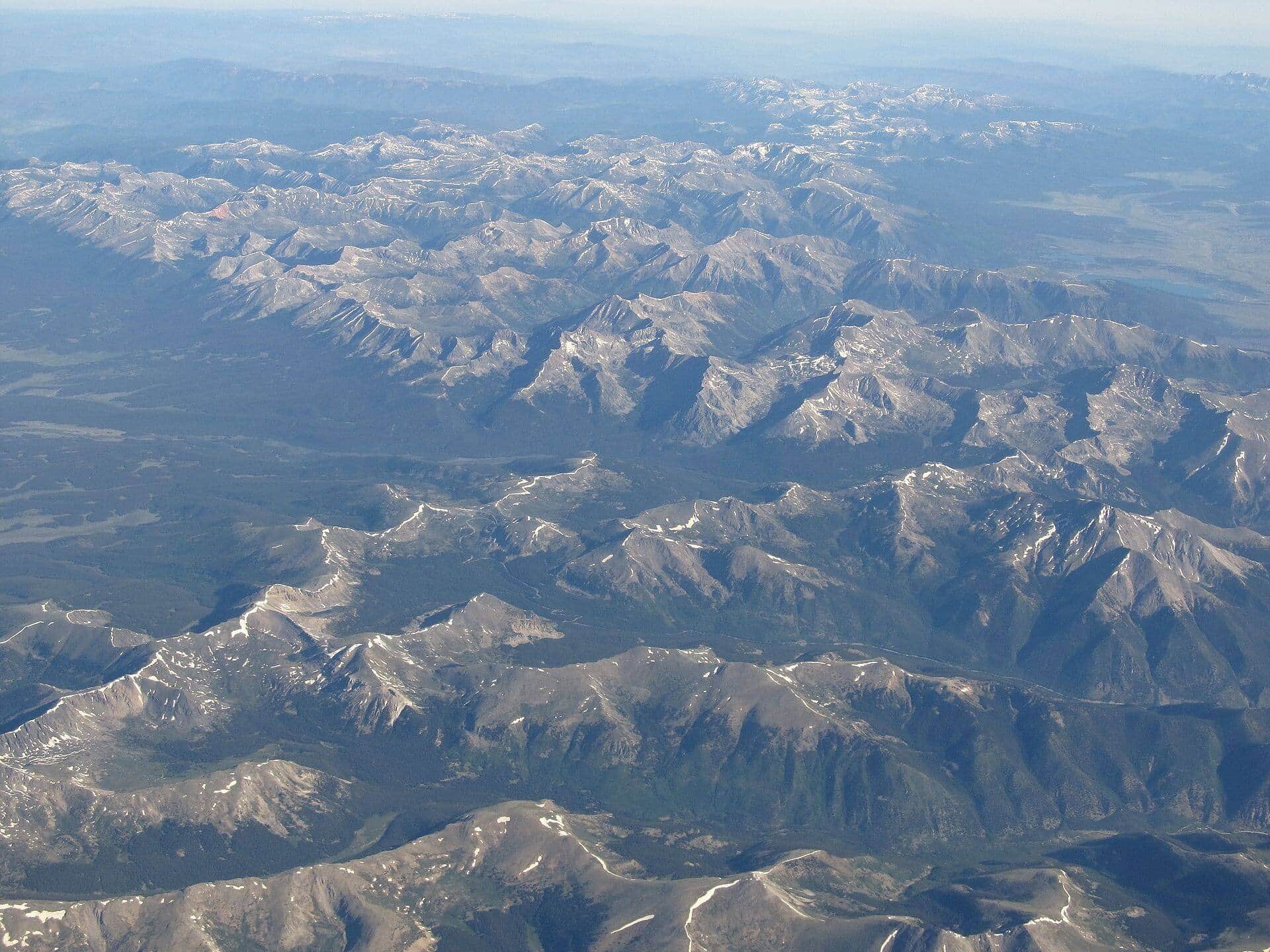
The Sawatch holds fifteen fourteeners, more than any other range in Colorado, and most of them are long, non-technical walks from trailheads a passenger car can reach, which makes this the range where most people climb their first high peak.
12 trail guides in the Sawatch Range
Mount Elbert
Colorado's highest peak offers a challenging but non-technical climb with incredible panoramic views. The standard East Ridge route is the most popular approach.
Lake Constantine Trail
From the Half Moon Trailhead near the Mount of the Holy Cross, climb to Lake Constantine. The lake sits at 11,400 feet below Notch Mountain. Famous alpine lake in the Holy Cross Wilderness.
Mount Massive (East Slopes)
Colorado's second-highest peak via the Colorado Trail approach from the Mount Massive Trailhead. Long, sustained climb through forest to alpine tundra and a broad summit ridge. Less crowded than Elbert across the valley.
Mount Harvard (South Slopes)
Third-highest peak in Colorado via the long but non-technical North Cottonwood Creek approach. Often combined with Mount Columbia for a brutal double-summit traverse. Plan for a 10+ hour day.
Mount Yale (Southwest Slopes)
Popular Collegiate Peak with a steep but straightforward Class 2 standard route from the Denny Creek Trailhead. The summit views span the Arkansas Valley and the rest of the Collegiate Peaks.
Mount Princeton (East Slopes)
Class 2 route that starts on a rough 4WD road. High-clearance vehicles can drive partway, otherwise add 6 miles of road walking. The upper mountain is a wide, talus-covered ridge.
La Plata Peak (Northwest Ridge)
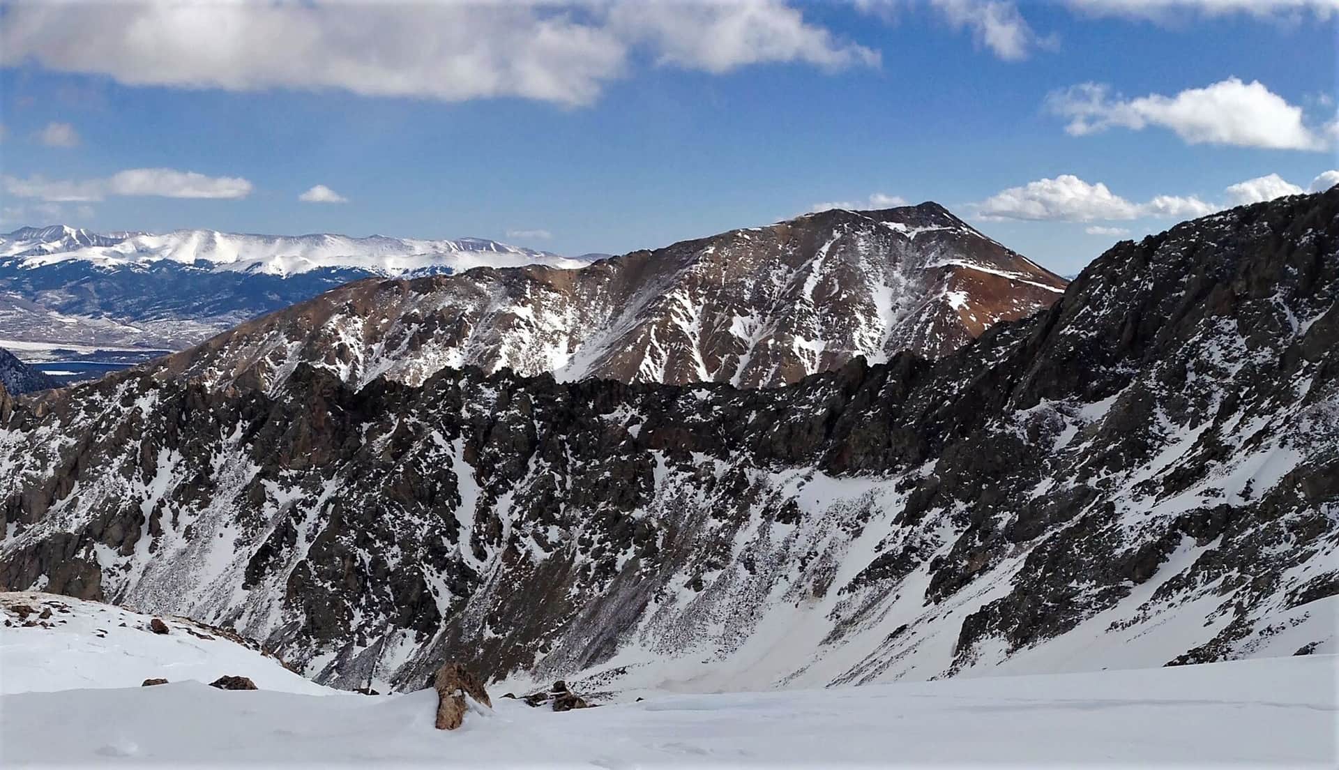
Colorado's 5th highest peak with a Class 2 standard route from the South Fork Lake Creek Trailhead. Steep, sustained climb on a well-defined trail. One of the most accessible Sawatch 14ers.
Missouri Mountain (Northwest Ridge)
Class 2 route from Missouri Gulch with a narrow but non-technical summit ridge. Often combined with Belford and Oxford for a triple 14er day from the same trailhead.
Mount Antero (West Slopes)
Famous for aquamarine mining at high elevation. Long approach via 4WD road, then steep alpine route. High-clearance vehicles can shorten the day significantly.
Mount Shavano and Tabeguache Peak
Class 2 double 14er from Blank Gulch Trailhead. Shavano comes first; Tabeguache requires a 500-foot drop and re-climb. The Angel of Shavano snow couloir is visible from town in spring.
Huron Peak (Northwest Slopes)
Often called the most scenic Sawatch 14er. Class 1-2 route from the Huron Peak Trailhead through alpine meadows. Views of the Three Apostles (13ers) from the summit are spectacular.
Mount of the Holy Cross (North Ridge)
Named for the cross-shaped snow couloir visible in spring. Standard route crosses Half Moon Pass (twice: once on the way in, once on the way out), making this one of the harder 14er days for the distance.
Hiking the Sawatch Range: what to know
The Sawatch runs from Mount of the Holy Cross near Minturn south past Leadville, Buena Vista, and Salida to Mount Shavano. Its 14ers are mostly rounded and broad, so the standard routes are Class 1 and 2 trails rather than scrambles. The cost is length: figure on 9 to 14 miles and 4,000 to 5,500 feet of gain for the typical summit day.
Trailhead access is better than in the San Juans or Sangres. Halfmoon Road out of Leadville reaches the Mount Elbert and Mount Massive trailheads by 2WD. Chaffee County Road 390 serves Missouri Gulch (Belford, Oxford, Missouri) and Winfield for Huron Peak. North Cottonwood Creek Road reaches the Mount Harvard and Columbia trailhead, and Denny Creek on Cottonwood Pass Road serves Mount Yale. Mount Antero is the exception; its Baldwin Gulch road is a real 4WD track.
The northern end is different country. Mount of the Holy Cross, Notch Mountain, and Lake Constantine start from the Tigiwon Road trailheads above Minturn inside the Holy Cross Wilderness, and Holy Cross itself involves crossing Half Moon Pass twice.
The season for the high routes is late June through early October, with the snow on north-facing slopes lingering into early July. The afternoon thunderstorm pattern is reliable from June through August, so summit days start before dawn. Dispersed camping is allowed along most of the access roads, and Leadville, Buena Vista, and Salida have every service a trip needs. Read the 14ers by difficulty ranking to pick a first peak, and the altitude sickness guide before you drive up from sea level.
14ers in the Sawatch Range
15 Colorado fourteeners (peaks over 14,000 feet) stand in this range.
Mount Elbert
Beginner-friendlyMount Massive
Mount Harvard
La Plata Peak
Mount Antero
Mount Shavano
Mount Belford
Mount Princeton
Mount Yale
Tabeguache Peak
Mount Oxford
Mount Columbia
Missouri Mountain
Huron Peak
Beginner-friendlyMount of the Holy Cross
Other Colorado Regions
- Black Canyon of the Gunnison →
- Flat Tops Wilderness →
- Front Range →
- Gore Range →
- Indian Peaks Wilderness →
- Maroon Bells-Snowmass Wilderness →
- Mosquito Range →
- Mount Zirkel Wilderness →
- Park Range →
- Rocky Mountain National Park →
- San Juan Mountains →
- Sangre de Cristo →
- Tenmile Range →
- White River National Forest →