Quandary Peak: A Complete Guide to Breckenridge's Popular 14er
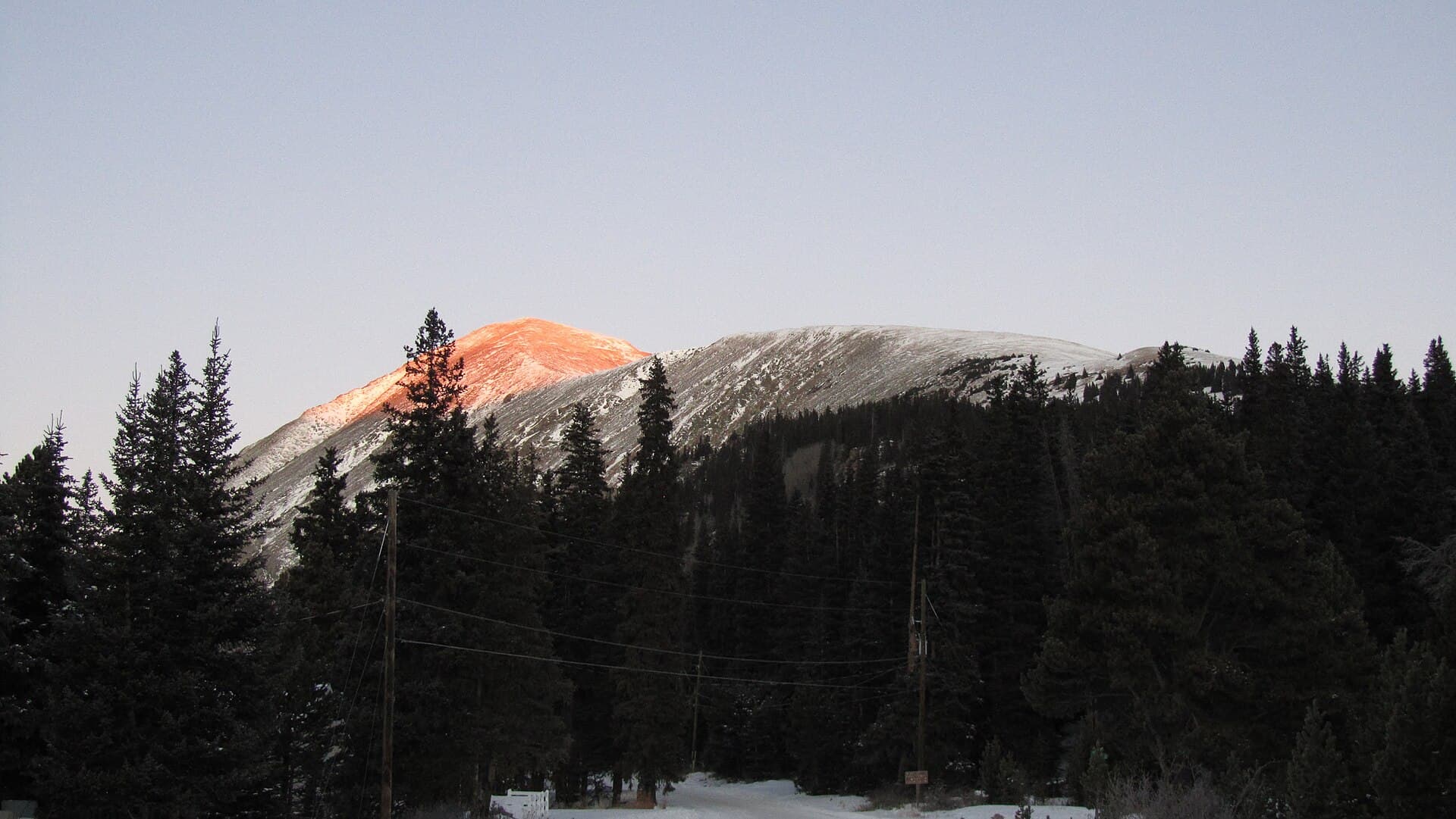
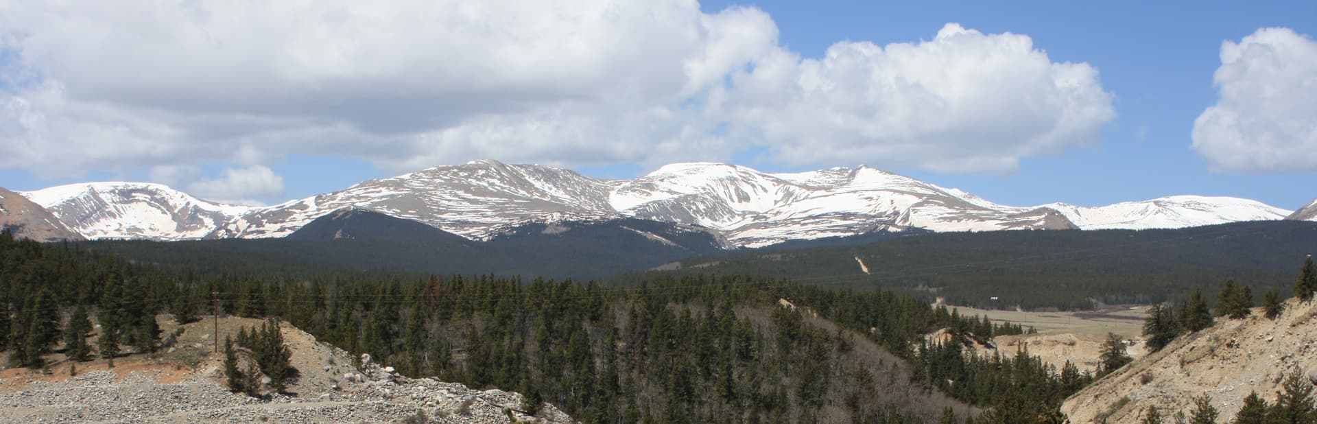
Quandary Peak (14,271 ft) sits in the Tenmile Range just south of Breckenridge. It's the closest 14er to Breckenridge, the only one in Summit County, and one of the easiest in the state to climb. The East Ridge standard route is 6.75 miles round trip with 3,450 feet of elevation gain.
Quandary attracts about 15,000-20,000 summiteers per year. The trailhead is 90 minutes from Denver, 5 minutes from Breckenridge. The trail is well-marked, non-technical, and the route is direct (up one side, down the same side). For a winter 14er attempt with proper gear, Quandary is also the most-attempted winter 14er due to its low avalanche risk on the standard route.
The catch: starting in 2021, Summit County implemented a paid shuttle/parking system that significantly changes the trailhead logistics. This guide covers everything you need to know.
What You'll Learn
- Quick Stats
- The New Shuttle System (Important)
- Getting There
- The Standard Route
- Mountain Goats and Wildlife
- What to Pack
- Timing and Weather
- Winter Quandary Considerations
- What Makes Quandary Different
- Common Mistakes
Quick Stats
- Elevation: 14,271 ft (13th highest in Colorado)
- Trailhead: Quandary Peak Trailhead (off CR 851 / McCullough Gulch Road), 10,850 ft
- Round Trip Distance: 6.75 miles
- Elevation Gain: 3,450 ft
- Class: 1-2 (mostly hike, some easy talus near summit)
- Difficulty: Easy by 14er standards
- Time: 5-8 hours typical
- Best Season: June through September (also winter for prepared hikers)
- Permit: None, but parking requires reservation
- Crowds: Heavy
The New Shuttle System (Important)
Starting in 2021, Summit County implemented mandatory paid parking or shuttle service for Quandary Peak access. The system runs seasonally, roughly mid-June through mid-September (June 13 through September 13 in 2026). Outside that window, parking is free and first-come.
Option 1: Paid Parking
- Reserve at hikequandary.com (Summit County's reservation site)
- Full-day (5 AM to 3 PM): $30 weekdays, $55 weekends
- Short-term (4 hours): $10 weekdays, $20 weekends
- After 3 PM: free
- Park at the Quandary Peak trailhead lot
Option 2: County Shuttle
- From Breckenridge
- $7 round trip for visitors; free for Summit County residents who submit proof of residence
- Tickets go on sale two weeks ahead at the same website; buy before you show up
- Multiple departure times throughout the morning; dogs are allowed aboard
There is no third option. Parking on Highway 9, Blue Lakes Road, and McCullough Gulch Road is prohibited during the reservation season and ticketed at $100, so walking in from the highway is not a workaround.
The shuttle system was implemented because the trailhead parking was overwhelmed (cars parking 1+ miles down the road, blocking residential traffic, etc.). For practical purposes during the paid season, reserve parking or a shuttle ticket before you drive down. Showing up without a reservation in summer means you can't park in the trailhead area.
Reservations open about 60 days in advance for weekends. For peak summer weekends (July/August), book at least 2 weeks ahead.
Getting There
From Denver:
- I-70 west to Frisco (exit 203)
- Highway 9 south through Frisco and toward Breckenridge
- Continue south on Highway 9 past Breckenridge
- Turn right onto Blue Lakes Road / CR 850, then right onto CR 851 to the Quandary Peak Trailhead
- Follow signs to the trailhead (the McCullough Gulch Trailhead is on a separate road just to the north and serves a different basin)
Total drive: 90-100 minutes from Denver in good conditions. Add 30 minutes for I-70 ski traffic on winter weekends.
Restrooms: Pit toilets at the trailhead.
Cell service: Reasonable at the trailhead, none above treeline.
The Standard Route
The Quandary East Ridge is a direct, well-marked trail. Up one side, down the same side. No technical sections. No route-finding complications.
Section 1: Trailhead to Treeline (Miles 0-1.5)
The trail starts in mature evergreen forest. The grade is moderate (8-12%) for the first half mile, then steepens to 15-20%. This is solid hiking territory. Switchbacks help with the grade.
Around mile 1.5, you'll cross above treeline. The view opens up. The summit is visible from here for the first time.
Section 2: The Alpine Tundra (Miles 1.5-2.5)
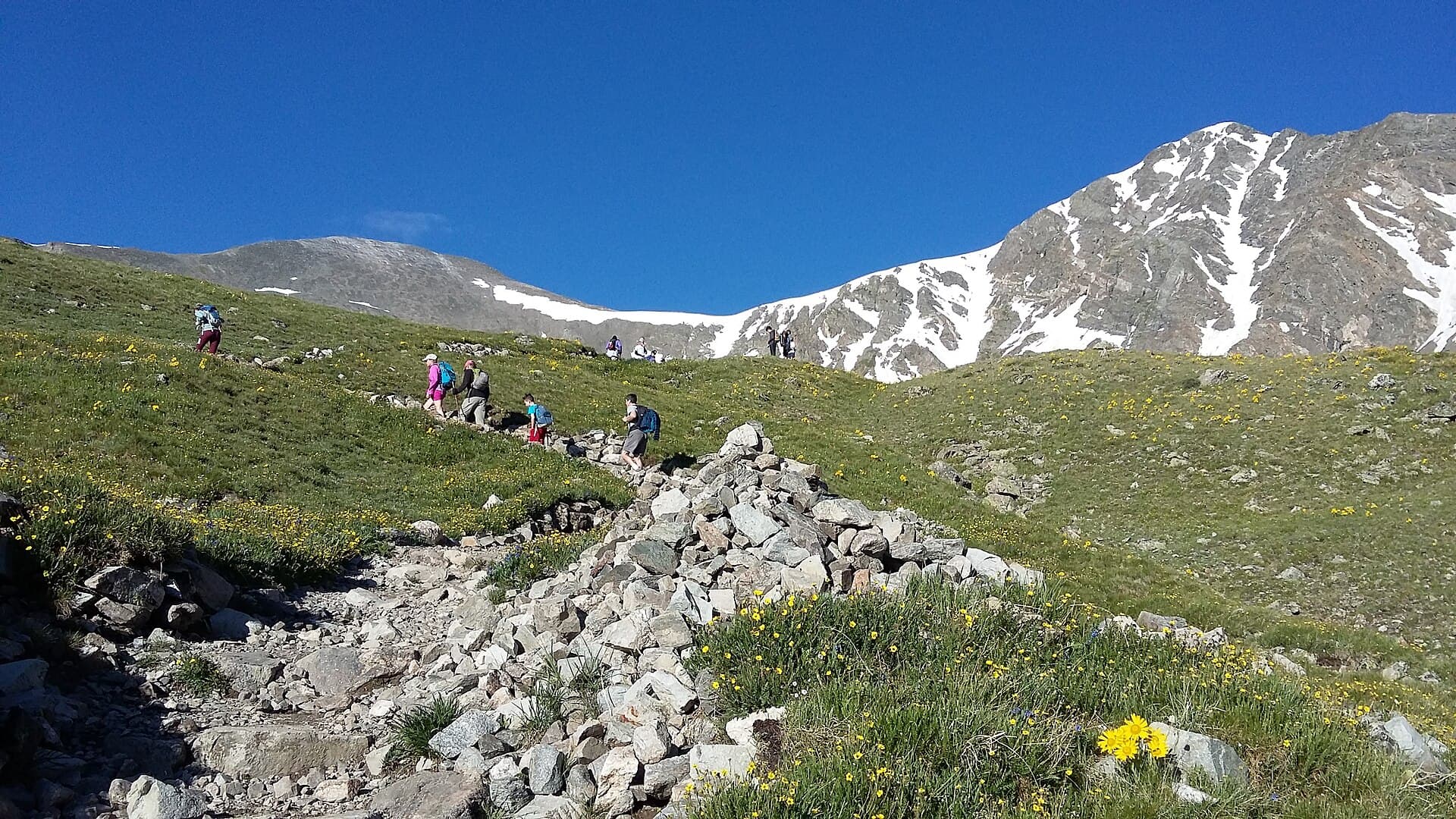
Above treeline, the trail crosses alpine tundra. The trail is well-defined and cairned. You'll see the mountain goats here regularly (see safety section below).
The grade is moderate. Lots of hikers turn around at this section to acclimatize and continue another day. If you're feeling altitude effects (headache, nausea, dizziness), this is a reasonable turnaround point.
Section 3: The Talus Ramp (Miles 2.5-3.0)
The trail steepens significantly above 13,500 ft. The terrain becomes rocky talus. Hand use becomes occasional for balance. The route is well-cairned; follow the cairns.
This is where altitude hits hardest for most hikers. Pace yourself; rest as needed. The summit is closer than it looks but takes longer than expected.
Section 4: The Summit (Mile 3.4)
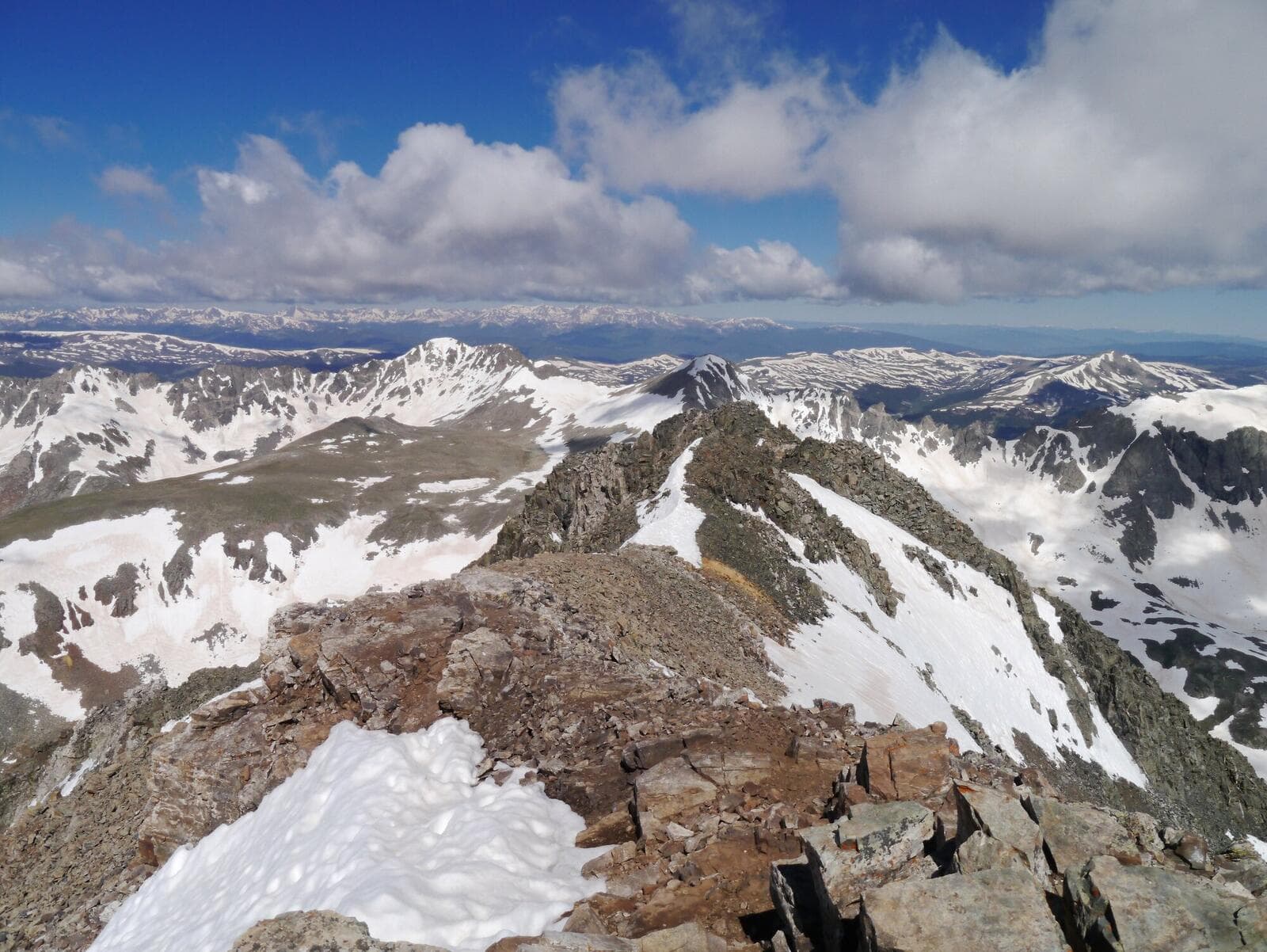
The summit is a relatively flat alpine plateau. Plenty of room for groups. Views span the Tenmile Range, the Mosquito Range, and on clear days the Sawatch Range to the south.
Take photos, eat, drink, but don't linger if weather is building.
Section 5: The Descent (Miles 3.4-6.75)
Same route in reverse. The descent is hard on knees because the grade is sustained. Trekking poles save knees on the talus and steep sections.
The descent typically takes 60-70% of the ascent time.
Mountain Goats and Wildlife
Quandary Peak has a habituated mountain goat population. They will approach you, follow you, and lick salt from your sweat-soaked gear. This is a real problem, not a cute photo op.
Do not:
- Feed them anything
- Pee on rocks near the trail (they're attracted to salt)
- Approach them for photos
- Sit down to rest right at the summit (they'll come investigate)
Do:
- Pee away from the trail (50+ ft)
- Give them at least 50 yards of space
- Pack out everything including salt-soaked clothing if needed
- Report aggressive behavior to the Forest Service
Mountain goats have horns and weigh 200+ lbs. They've gored hikers. The habituation problem on Quandary is real and growing.
Other wildlife: marmots (cute, don't feed), pikas, white-tailed ptarmigan, occasional bears in the trees below treeline.
What to Pack
Standard 14er kit, with two specific adjustments for Quandary:
Water. 2.5-3 liters minimum. No reliable water sources after the first creek crossing in the woods.
Food. 1000-1500 calories of trail food.
Layers. Base + insulation + wind shell + rain shell. The summit temperature is dramatically different from the trailhead.
Sun protection. Sunglasses, sunscreen, hat or visor. UV is brutal at altitude.
Headlamp. For alpine starts.
Footwear. Sturdy hiking boots. Trail runners work but suffer in the talus. See our hiking boots guide.
Map and offline GPS. Pre-download the route. Cell service drops above treeline.
Trekking poles. Strongly recommended for the descent on Quandary's sustained grade.
Gaiters or low-top shoes. Scree gets into low shoes constantly. Either lace boots tight, wear gaiters, or accept periodic scree-emptying breaks.
For winter Quandary, add: snowshoes or microspikes (see our microspikes guide), avalanche transceiver/probe/shovel (if going above treeline in winter), heavier insulation.
Timing and Weather
Same rule as all Front Range / Tenmile 14ers: be off the summit by noon.
Recommended timing:
- Trailhead: 5 AM (4 AM in monsoon season)
- Treeline (11,500 ft): 6:30 AM
- Summit: 9:30-10:00 AM
- Below treeline: 11:30 AM
- Trailhead: 1:30 PM
For a 4 AM trailhead start, leave Denver by 2 AM (or stay in Breckenridge the night before).
Check forecast.weather.gov for Breckenridge / Hoosier Pass mountain weather. Watch for:
- Storm probability above 30%: reconsider
- Wind above 30 mph at altitude
- Snow falling in non-winter season (means a complex weather pattern)
Winter Quandary Considerations
Quandary's East Ridge is the most-attempted winter 14er in Colorado for good reason:
- Low avalanche risk on the standard route (mostly broad open slopes, not gullies)
- The trail stays heavily traveled even in winter
- Lower section (forest) is wind-protected
- The summit ridge is exposed but the route is broad
That said, winter Quandary is not beginner mountaineering. Real concerns:
- Wind chill at the summit reliably drops to -10°F to -30°F in January/February
- The road from Hwy 9 to the trailhead may not be plowed; require park-on-Hwy-9 + walk-up
- The "lower section is forest-protected" only applies to the lowest mile
- Whiteout conditions are common in winter
- Trail finding is harder; the path is buried under snow
If you want to attempt winter Quandary:
- Have AIARE Level 1 avalanche education
- Have winter hiking experience on lesser peaks
- Watch the avalanche forecast at avalanche.state.co.us
- Bring full winter gear (mountaineering boots, gaiters, balaclava, mittens, heavy parka)
- Travel with experienced partners
- Have an early bailout plan
Most beginner 14er climbers should wait until summer for Quandary.
What Makes Quandary Different
Quandary vs Mount Bierstadt:
- More elevation gain. 3,450 ft vs 2,850 ft
- Comparable distance. 6.75 vs 7.0 miles
- More sustained grade. Quandary climbs almost continuously; Bierstadt has a flat valley section at the start
- Less wind. Tenmile Range tends to be less windy than Front Range
- Better summit views. Tenmile views are more dramatic than Bierstadt's West Slopes views
- Worse parking situation. Quandary requires a reservation; Bierstadt is first-come
Quandary vs Grays/Torreys:
- Easier road access. Quandary's road is paved; Stevens Gulch (Grays/Torreys) requires 4WD
- Single peak only. Can't double-summit easily from Quandary
- Same approximate difficulty for the standard route
For Breckenridge visitors, Quandary is the obvious 14er. For Front Range residents not visiting Breckenridge, Bierstadt or Grays/Torreys are closer.
Common Mistakes
Not reserving parking/shuttle. This is the most common mistake. Without a reservation, you can't access the trailhead area.
Underestimating the sustained grade. Quandary's grade is more continuous than Bierstadt's. There's no flat recovery section.
Feeding/touching mountain goats. Habituated mountain goats are aggressive. Keep distance.
Not enough water. 2 liters is not enough. 3 is realistic.
Wearing low-top shoes without gaiters. Scree fills shoes constantly on the upper sections.
Going in winter without proper preparation. The winter route is achievable but requires real winter hiking experience and proper gear.
Starting too late. A 7 AM start puts you at the summit at noon, which is the storm window.
Not acclimatizing. If you fly in from sea level, plan to sleep at altitude (Denver, Frisco, Breckenridge) for at least one night before.
Other 14ers to Consider
After Quandary:
- Mount Bierstadt: Easier road access, comparable difficulty. See our Mount Bierstadt guide.
- Grays and Torreys Peak: Double 14er option. See our Grays Peak guide.
- Mount Elbert: Colorado's highest. See our Mount Elbert guide.
- Pikes Peak: Endurance challenge via Barr Trail. See our Pikes Peak guide.
For the full list ranked by beginner difficulty, see our easiest 14ers guide.
Final Thoughts
Quandary Peak is a clean, accessible, non-technical 14er. The standard route is direct, well-marked, and stays below Class 2 difficulty. The two practical complications are the parking/shuttle reservation system and the mountain goat habituation issue. Plan for both.
For Breckenridge visitors, Quandary is the obvious 14er pick. For winter 14er attempts, Quandary's low avalanche risk on the standard route makes it the entry point (with proper preparation and gear).
Alpine start, watch the weather, pace yourself for sustained climbing, respect the descent. These rules apply on every 14er, and they apply on Quandary.
For the full gear setup, see our guides to hiking boots, rain jackets, base layers, microspikes, and winter hiking.
Get the Colorado 14er Packing Checklist (free PDF)
Plus a weekly note on the best Colorado trails, gear deals, and seasonal hike picks. No spam, unsubscribe anytime.
We respect your inbox. Unsubscribe anytime.