Best Hikes Near Granite, Colorado
Granite is a bend in US 24 at Clear Creek Reservoir, halfway between Leadville and Buena Vista, and the turnoff for the Clear Creek Road trailheads that serve six Sawatch fourteeners.
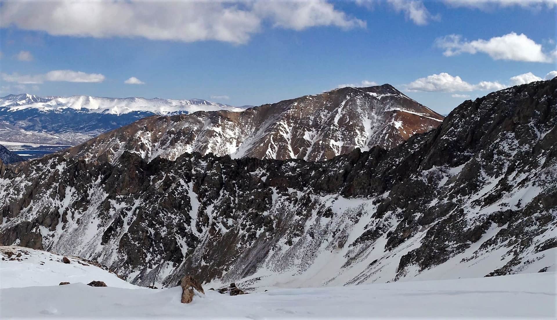
La Plata Peak (Northwest Ridge)
Colorado's 5th highest peak with a Class 2 standard route from the South Fork Lake Creek Trailhead. Steep, sustained climb on a well-defined trail. One of the most accessible Sawatch 14ers.
Missouri Mountain (Northwest Ridge)
Class 2 route from Missouri Gulch with a narrow but non-technical summit ridge. Often combined with Belford and Oxford for a triple 14er day from the same trailhead.
Huron Peak (Northwest Slopes)
Often called the most scenic Sawatch 14er. Class 1-2 route from the Huron Peak Trailhead through alpine meadows. Views of the Three Apostles (13ers) from the summit are spectacular.
Hiking in Granite: what to know
There is no town to speak of, just the reservoir and the junction with Chaffee County Road 390. That gravel road runs 12 miles west up Clear Creek past the ghost towns of Vicksburg and Winfield to the trailheads. Missouri Gulch, about 8 miles in, is the start for Mount Belford, Mount Oxford, and Missouri Mountain, three fourteeners from one parking lot. Winfield, at the end, is the start for Huron Peak, one of the shortest and most scenic fourteener routes in the Sawatch. Passenger cars reach Missouri Gulch without trouble; the last stretch to the Huron trailhead above Winfield is rougher, and many people park in Winfield and walk the extra 2 miles.
La Plata Peak is the other neighbor. Its trailhead is on Colorado 82 toward Independence Pass, 15 minutes north of Granite past Twin Lakes.
All three summits are long Class 2 days, 7 to 10.5 miles with 3,500 to 4,500 feet of gain, and they share the Sawatch pattern: dry trail from late June into October, snow on the upper slopes into early July, and thunderstorms building over the ridges by early afternoon in July and August. Start at first light.
Camping is the reason to stay here rather than in town. Dispersed sites line County Road 390 for its whole length, and Clear Creek Reservoir has a campground at the junction. Twin Lakes has a general store and lodge; Leadville, 20 minutes north, and Buena Vista, 20 minutes south, have everything else. Read our Mount Elbert guide if you want the highest summit in the state on the same trip.
14ers Near Granite
3 Colorado 14ers (peaks over 14,000 ft) have their trailheads near Granite.
Mount Belford
Sawatch Range
Mount Oxford
Sawatch Range
Missouri Mountain
Sawatch Range