Best Hikes Near Alamosa, Colorado
Alamosa is the San Luis Valley's only real town, 7,500 feet up on the Rio Grande, and the base for the Great Sand Dunes, Zapata Falls, and the long walk up Blanca Peak.
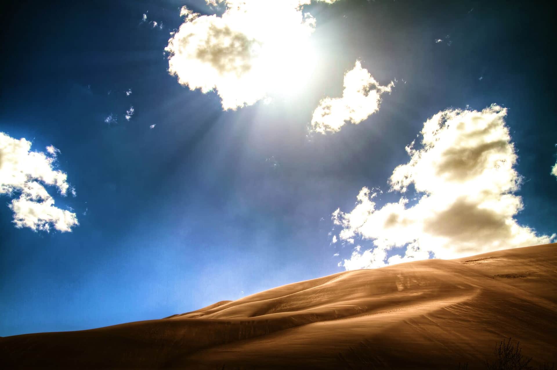
Great Sand Dunes National Park Nature Trail
An interpretive loop trail through wetlands and grasslands with views of North America's tallest sand dunes and the Sangre de Cristo Mountains backdrop.
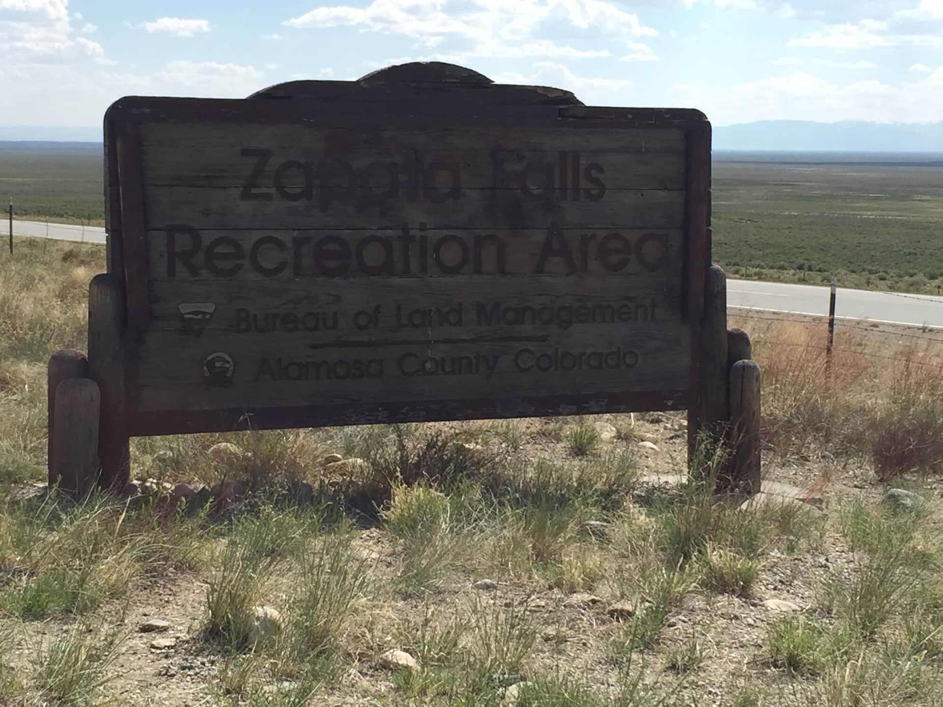
Zapata Falls
A short hike to a hidden waterfall in a narrow canyon slot. The final approach requires wading through cold water to reach the 30-foot cascade.
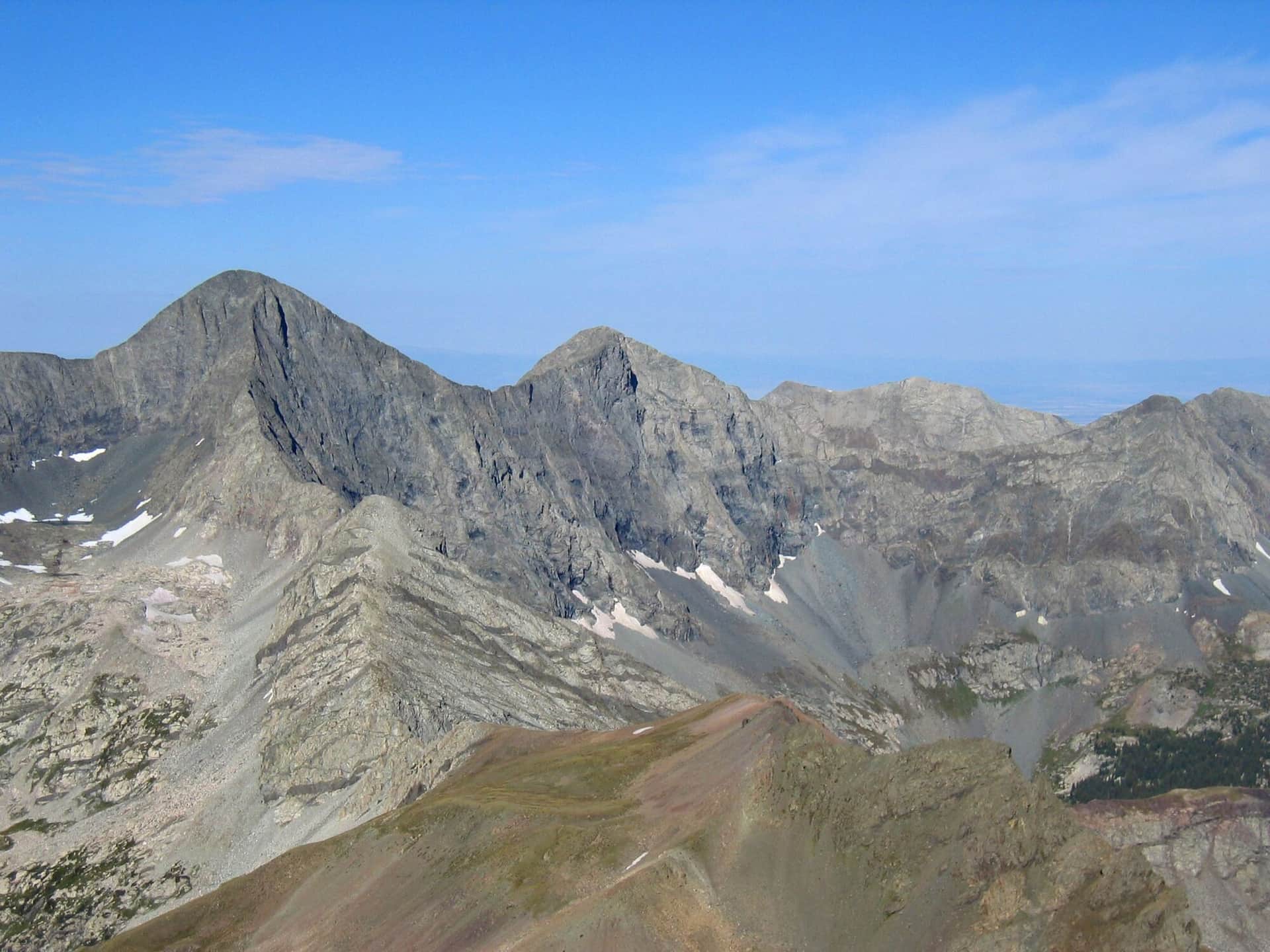
Blanca Peak and Ellingwood Point
Two 14ers in the Blanca Massif. Lake Como Road is one of the roughest 4WD approaches in Colorado; most hikers start lower and add miles. Class 2 once on the peaks.
Hiking in Alamosa: what to know
The dunes are the reason most people come, and they are 35 minutes east on US 160 and Colorado 150. There are no trails on the sand; the walk to High Dune is about 2.5 miles round trip and takes longer than it looks because every step slides back. The Nature Trail near the visitor center is the short, flat option. Sand surface temperatures pass 140 degrees on summer afternoons, so hike the dunes at dawn or after dinner, keep dogs off the sand in the heat, and go in late May or June if you want to see Medano Creek flowing across the dune field.
Zapata Falls is 10 minutes south of the park entrance on a rough BLM road that passenger cars manage slowly. The walk is half a mile, and the last stretch is a wade up a creek into a slot to see the falls. In winter the falls freeze into a column of ice and the wade becomes a careful walk on frozen rock.
The valley's fourteeners start from the town of Blanca, 25 minutes east. Blanca Peak and Ellingwood Point share the Lake Como road, which most people walk because few vehicles can drive it, and Little Bear rises off the same road. These are two-day trips for most climbers, with a camp at Lake Como.
Alamosa is high desert: cold nights year-round, hard spring wind, and dry air that dehydrates you faster than the heat suggests. The town has groceries, motels, and gas; the Alamosa National Wildlife Refuge south of town is worth an evening walk for sandhill cranes in March and October. The Sangre de Cristo region page covers the range above the valley.