Mount Elbert: A Complete Guide to Colorado's Highest Peak
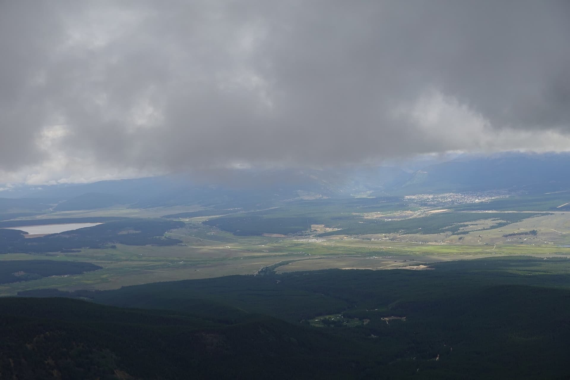
Willow Fire, 2026: the fire burned the forest west of Leadville in July and August 2026 and closed every route on Elbert and Massive. The Forest Service reduced the closure on August 20, 2026, reopening Halfmoon Road and the North Mount Elbert trail, while Mount Massive, the Mount Massive Wilderness, and the Continental Divide Trail through that area stay closed through September 30, 2026 unless the order is rescinded. Read the Pike-San Isabel National Forest alerts page before you drive up, and expect burned slopes along Halfmoon Road.
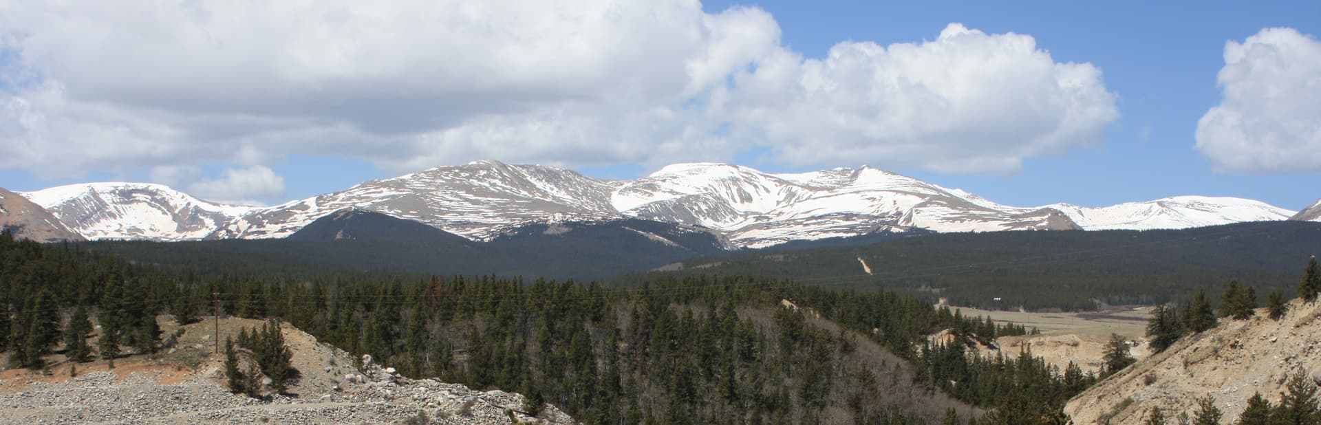
Mount Elbert is the highest peak in Colorado at 14,440 feet. It's the second-highest mountain in the contiguous United States, after Mount Whitney in California. Despite its altitude, the standard route is non-technical Class 1, a hike rather than a climb. About 25,000-30,000 people summit Mount Elbert every year, making it one of the most-climbed 14ers in the state.
The catch is the distance: 9.5 miles round trip with 4,500 feet of elevation gain via the Northeast Ridge. This is significantly longer and more strenuous than Mount Bierstadt, Grays Peak, or Quandary. The trailhead is also a 3-hour drive from Denver, making this a 14er that requires committing to either a long day-hike or staying in Leadville the night before.
For fit hikers who've already climbed an easier 14er, Mount Elbert is the natural progression. This guide covers the standard Northeast Ridge route, the alternative South Mount Elbert Trail, and what makes Colorado's tallest peak different.
What You'll Learn
- Quick Stats
- Getting to the Trailhead
- The Northeast Ridge Route
- The South Mount Elbert Alternative
- What to Pack
- Timing and Weather
- When to Climb
- What Makes Mount Elbert Different
- Common Mistakes
Quick Stats
Northeast Ridge (standard route):
- Elevation: 14,440 ft (highest in Colorado, 2nd highest in lower 48)
- Trailhead: Mount Elbert Trailhead (Halfmoon Creek), 10,040 ft
- Round Trip Distance: 9.5 miles
- Elevation Gain: 4,500 ft
- Class: 1 (hike, no scrambling)
- Time: 7-10 hours typical
- Difficulty: Strenuous (long day, big elevation gain)
South Mount Elbert Trail:
- Trailhead: Black Cloud, 9,650 ft
- Round Trip Distance: 11.5 miles
- Elevation Gain: 4,800 ft
- Class: 1
- Time: 8-11 hours
Best Season: Mid-June through September
Permit: None required
Crowds: Heavy on summer weekends but spread over longer trail
Getting to the Trailhead
The Mount Elbert Trailhead is reached via Halfmoon Creek Road from Leadville:
- Drive to Leadville (3 hours from Denver via I-70 + Highway 24)
- From Leadville, take Highway 24 south to County Road 24A (also called Halfmoon Drive)
- Turn right onto Halfmoon Creek Road
- Follow the gravel road approximately 3 miles to the Mount Elbert Trailhead parking lot
The road is well-maintained gravel passable in any vehicle. No 4WD required.
From Denver, total drive time is 3 hours via I-70. Many hikers stay in Leadville the night before (cheap motels, BNB, dispersed camping) to avoid the early morning drive.
Restrooms: Pit toilets at the trailhead.
Cell service: None at the trailhead, none on the route.
Alternative parking: The trailhead lot holds about 30 vehicles. Overflow parking is available a short walk away.
The Northeast Ridge Route
The Northeast Ridge is the standard route. Long but straightforward.
Section 1: Trailhead to the Colorado Trail Junction (Miles 0-1.4)
The trail begins in mixed evergreen forest. Easy grade through the woods. You'll join the Colorado Trail briefly before splitting off on the Mount Elbert Trail.
This is the easiest section. Use it to warm up but don't push the pace. You have a long way to go.
Section 2: The Climb Through Trees (Miles 1.4-3.5)
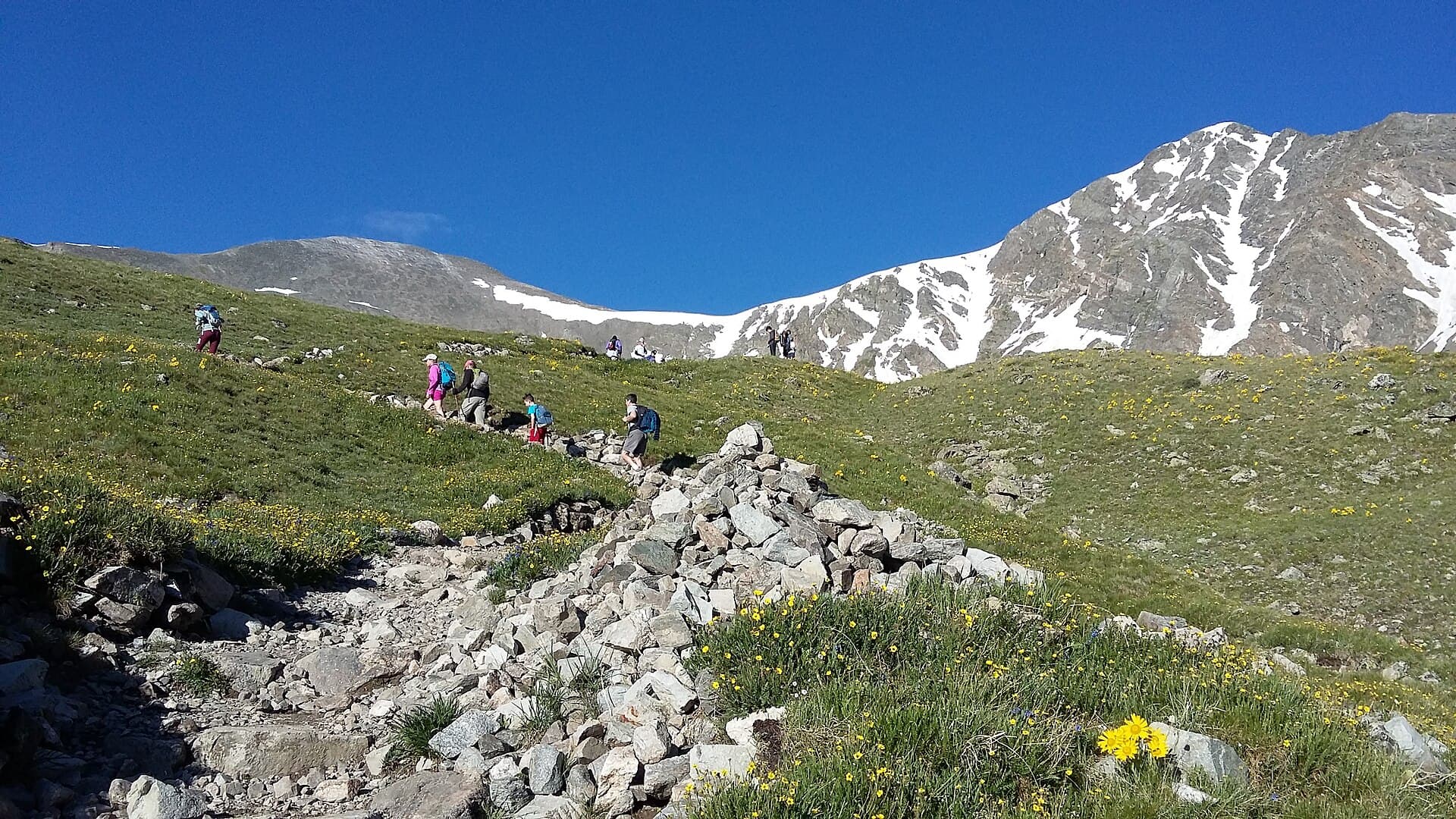
The trail climbs through evergreen forest with steady switchbacks. The grade is moderate (10-15%) but sustained for 2 miles. You'll gain about 1,500 feet through this section.
Around mile 3.5, you'll reach treeline at approximately 11,700 ft. The view opens dramatically.
Section 3: The First Alpine Section (Miles 3.5-4.3)
The trail crosses alpine terrain on the lower ridge. Moderate grade. The summit of Elbert is still hidden behind the false summit (called "Bus Stop" by some).
This section is exposed to wind from the west. Watch for marmots and pikas.
Section 4: The Switchbacks Up the Ridge (Miles 4.3-4.6)
The trail steepens significantly here. Sustained switchbacks up the rocky ridge. The grade is 15-20% on average.
This is where the altitude really hits. Pace yourself. Many hikers find they need to stop every 50-100 steps to catch their breath. This is normal at 13,500+ feet.
Section 5: The False Summit and Bus Stop (Mile 4.6-4.7)
A flat shoulder around 13,900 ft gives you a false summit moment. The actual summit is another 0.1 miles and 500 vertical feet beyond. From here you can see the true summit.
This is a good rest point if you need one. Eat, drink, prepare for the final push.
Section 6: The True Summit (Mile 4.75)
The final push up to the true summit involves more rocky talus but stays Class 1 (no hand use required). The grade is the steepest of the entire route.
The summit itself is a relatively flat plateau, plenty of room for groups. A small cairn and benchmark marker indicate the true summit.
Views span:
- The Sawatch Range north and south
- Mount Massive (14,428 ft, the 2nd highest peak in Colorado) directly to the north
- Mount Harvard, Mount Princeton, and other Collegiate Peaks to the south
- The Mosquito and Tenmile Ranges to the east
- The Continental Divide
Section 7: The Return (Miles 4.75-9.5)
Same route in reverse. The descent of the upper section is steep and rocky; trekking poles save knees.
The mid-section through the trees feels endless. Many hikers psychologically struggle here because they expect the descent to feel quick. It doesn't.
Total descent time is typically 4-5 hours, only slightly shorter than the ascent.
The South Mount Elbert Alternative
For hikers wanting a different approach or coming from the south, the Black Cloud / South Mount Elbert Trail is an alternative.
Why choose South Elbert:
- Less crowded than the Northeast Ridge
- Different scenery (different aspect of the mountain)
- Coming from south (Buena Vista, etc.) is closer than driving to Leadville
Why not:
- 2 miles longer round trip (11.5 vs 9.5 miles)
- 300 ft more elevation gain
- Route-finding is harder; the trail is less defined in places
- The lower section through aspen forest is gorgeous but adds time
For most hikers, the Northeast Ridge is the better option. The South Mount Elbert Trail is for hikers seeking solitude or coming from south of the divide.
What to Pack
Same base kit as other 14ers, but the longer distance and higher altitude demand careful loadout:
Water. 3-4 liters minimum. Halfmoon Creek crosses the route at the start; some hikers refill with a filter on the way back, but plan to carry all your water for the ascent.
Food. 1500-2000 calories of trail food. This is a 7-10 hour day; you need real fuel.
Layers. Base + insulation + wind shell + rain shell. The summit is reliably 20-30°F colder than the trailhead.
Sun protection. Sunglasses (preferably with side shields), sunscreen on every exposed surface, hat or visor.
Headlamp. Required for alpine starts.
Footwear. Real hiking boots, not trail runners. The talus sections punish thin shoes. See our hiking boots guide.
Map and offline GPS. The route is well-marked but the lower trail junction can be confusing. Pre-download.
Trekking poles. Required. The descent is brutal on knees over 4,500 ft.
First aid basics. Blister treatment, ibuprofen, electrolytes.
Cash/credit card. For Leadville coffee/breakfast/dinner.
The Elbert kit isn't dramatically different from Bierstadt, but the quantities are bigger because the day is longer.
Timing and Weather
Same rule as other 14ers: be off the summit by noon.
Recommended timing for Mount Elbert:
- Trailhead: 4:00 AM (3:30 AM in monsoon season)
- Treeline (11,700 ft): 6:30 AM
- Summit: 9:30-10:30 AM
- Below treeline: 12:00 PM
- Trailhead: 2:00-3:00 PM
For a 4 AM trailhead start, leave Denver by 1 AM. Most hikers stay in Leadville the night before (3-hour drive becomes 30 minutes, plus altitude acclimatization).
Check forecast.weather.gov for Leadville mountain weather. The same weather principles apply:
- Storm probability above 30%: reconsider
- Wind above 35 mph at altitude
- Snow falling in non-winter season
When to Climb
Best months: Mid-June through mid-September.
June: Snow still in upper sections through mid-month most years. Microspikes useful. By late June, dry conditions for the standard route.
July: Peak season. Monsoon starts mid-month. Start by 3:30-4 AM.
August: Peak monsoon. Storm-ready by 11 AM most days.
September: Best stable weather. Cooler. Some early snow after mid-month.
October-May: Winter conditions. Halfmoon Creek Road may not be plowed; long approach required. Avalanche risk in the upper sections. Not recommended for non-mountaineers.
What Makes Mount Elbert Different
Mount Elbert vs the other major Front Range / Tenmile 14ers:
Longer day. 9.5 miles vs 7-8 miles for Bierstadt, Grays/Torreys, or Quandary.
More elevation gain. 4,500 ft vs 2,850-3,600 ft for the other Front Range / Tenmile peaks.
Lower trailhead. Elbert starts at 10,040 ft vs 11,000+ ft for Bierstadt/Grays/Quandary. More climbing required but better acclimatization room.
Longer drive from Denver. 3 hours vs 90 minutes for Front Range peaks.
Easier technical difficulty. Class 1 (hike, no scrambling) vs Class 2 for Bierstadt and Grays/Torreys.
Best Sawatch views. Once on the upper ridge, Mount Massive (Colorado's 2nd highest) looms directly across the valley.
Strongest "highest in Colorado" bragging rights. This matters more than it should.
Elbert is appropriate as a second or third 14er, after you've done Bierstadt or Quandary. The longer distance and bigger elevation gain make it more demanding than the "easier" 14ers despite the lower technical difficulty.
Common Mistakes
Underestimating the distance. 9.5 miles at altitude with 4,500 ft of gain is significantly harder than 7 miles with 2,850 ft. People who breezed up Bierstadt sometimes struggle on Elbert.
Not acclimatizing. Driving from Denver at sea-level altitude in the morning is a recipe for severe altitude sickness. Stay in Denver, Frisco, or Leadville the night before.
Insufficient food/water. The 7-10 hour day burns 4,000+ calories for most hikers. Bring real food, not just bars.
Starting too late. The longer route means you need more time to be off the summit by noon. 4 AM start is the recommended minimum.
Wrong footwear. Trail runners work for some hikers on shorter peaks but suffer on Elbert's talus.
Not enough trekking poles. Both poles, not one. The descent is brutal.
Underestimating Leadville altitude. Leadville sits at 10,150 ft. Sleep there to acclimatize, but don't expect easy rest your first night at that altitude.
Trying to do other 14ers same day. Mount Massive is right there but is a separate full day. Elbert + Massive in one day is for experienced 14er hikers with serious endurance.
Other 14ers to Consider
After Mount Elbert:
- Mount Massive: Right next to Elbert. Similar difficulty. The next 14er to bag from Leadville.
- Mount Bierstadt: Easier and closer to Denver. See our Mount Bierstadt guide.
- Grays Peak and Torreys Peak: Double 14er option. See our Grays Peak guide.
- Quandary Peak: Easier and closer. See our Quandary Peak guide.
- Pikes Peak: Endurance challenge by Barr Trail. See our Pikes Peak guide.
For the full ranking, see our easiest 14ers guide.
Final Thoughts
Mount Elbert is the highest peak in Colorado and a satisfying climb for hikers who've already proven themselves on an easier 14er. The route is Class 1 (no technical climbing) but the day is long and the elevation gain is significant. Most hikers find it more strenuous than Bierstadt or Quandary despite the easier technical rating.
The keys to success: stay in Leadville the night before (don't try to drive from Denver in the morning), alpine start by 4 AM, pace yourself for a 7-10 hour day, watch the weather, and respect the descent.
For the full gear kit, see our guides to hiking boots, rain jackets, base layers, headlamps, and microspikes.
Get the Colorado 14er Packing Checklist (free PDF)
Plus a weekly note on the best Colorado trails, gear deals, and seasonal hike picks. No spam, unsubscribe anytime.
We respect your inbox. Unsubscribe anytime.