Best Hikes Near Breckenridge, Colorado
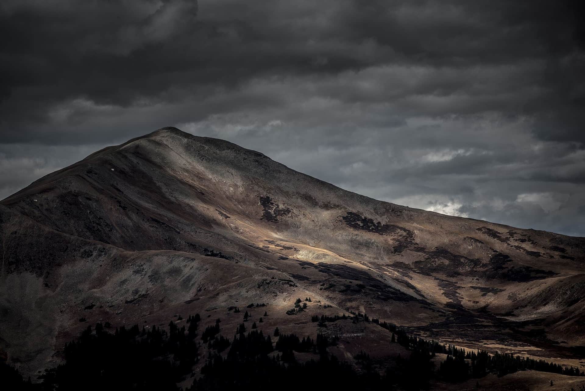
Breckenridge sits at 9,600 feet in the Tenmile Range, with hiking that spans town walks to high alpine summits.
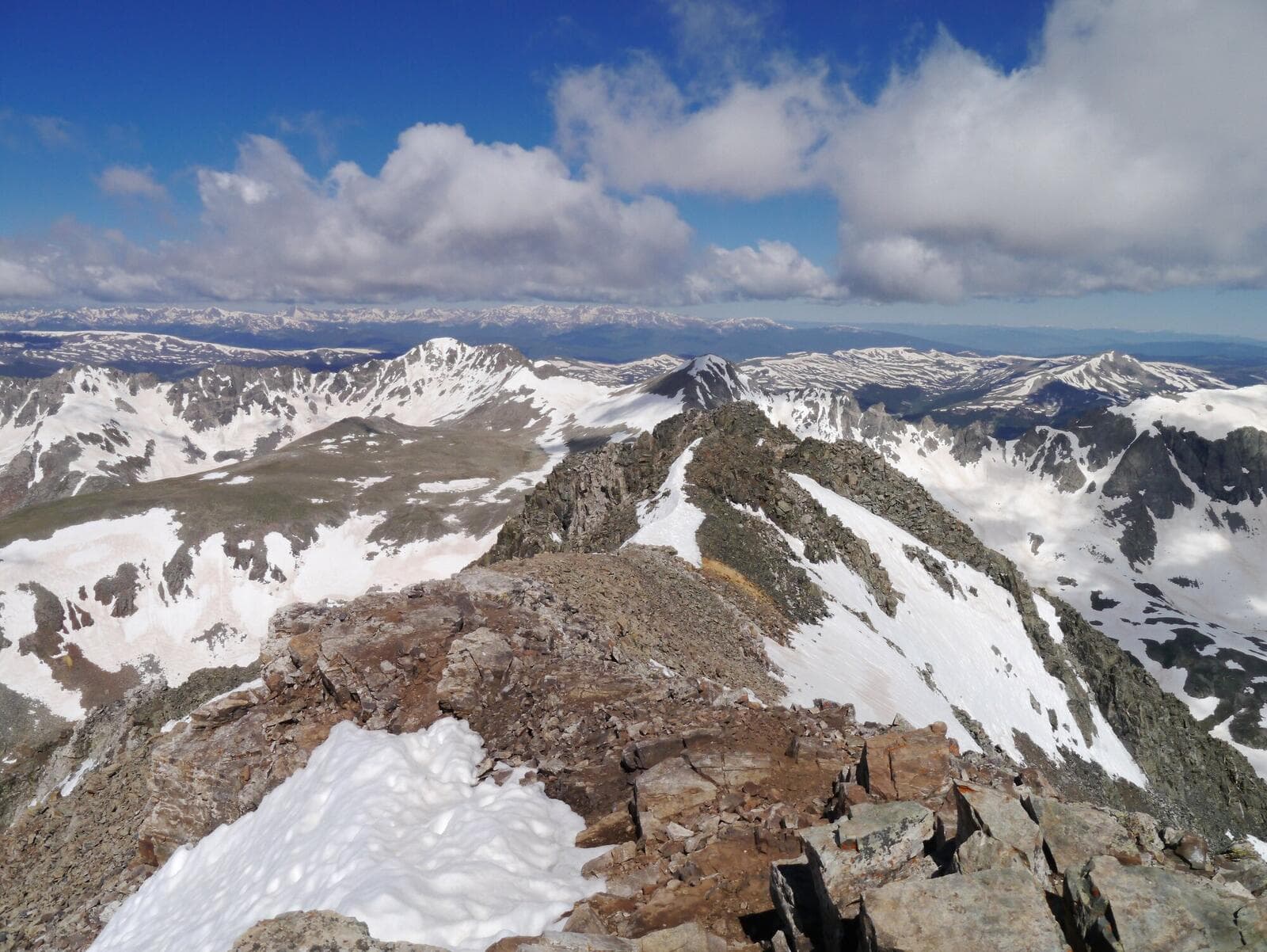
Quandary Peak
One of Colorado's most popular 14ers with well-maintained trails and stunning views of the Continental Divide. The East Ridge route is straightforward but demanding.
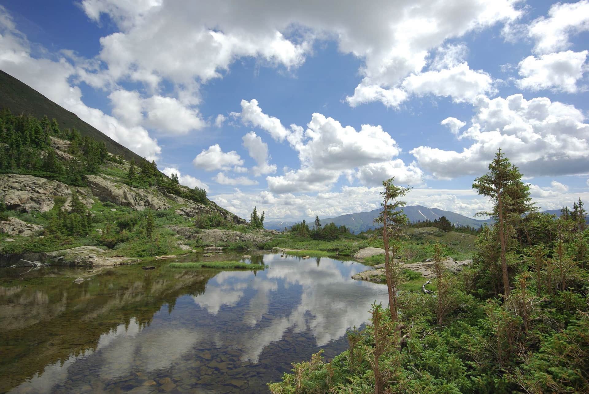
Mohawk Lakes
A scenic hike through historic mining country to pristine alpine lakes surrounded by rugged peaks. The trail passes several mining ruins and artifacts.
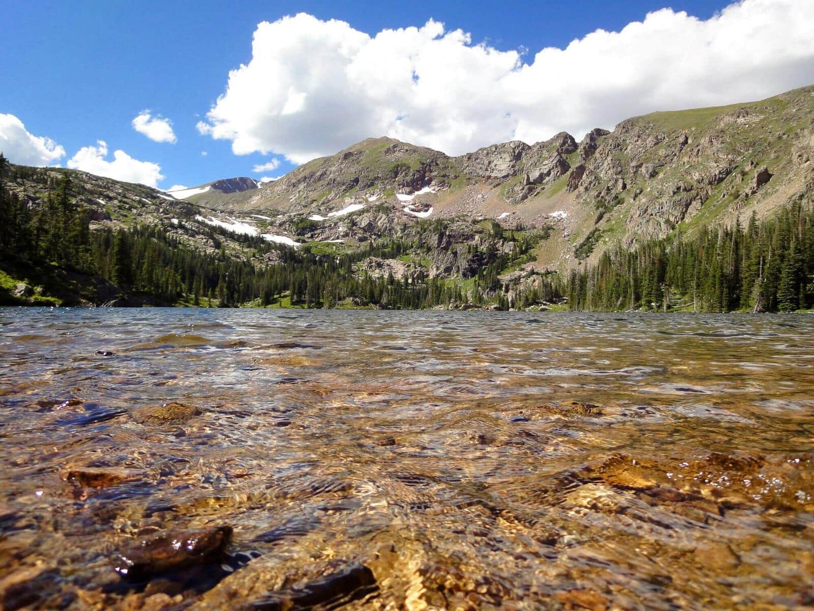
Wheeler Lakes Trail
From Vail Pass, climb to a chain of alpine lakes in the Eagles Nest Wilderness. Wildflowers in July, fewer crowds than the Breckenridge-side trails. Lake reflections of the Tenmile Range from the upper lakes.
Boreas Pass Trail
Historic narrow-gauge railroad bed from Breckenridge to Boreas Pass at the Continental Divide. Wide, well-graded, accessible to a broader range of hikers. Aspen forest below treeline, alpine tundra at the top.
McCullough Gulch Trail
Climb past a waterfall into a high alpine basin in the Tenmile Range. The basin holds unnamed alpine lakes with Quandary Peak rising directly above. Short but scenic; popular with Breckenridge locals.
Spruce Creek Trail
Spruce Creek Trailhead is the main approach for Mohawk Lakes and Crystal Peak. The lower trail follows Spruce Creek through aspen and conifer forest before the trail splits. Standard access for multiple destinations.
Mayflower Gulch Trail
Wide, well-graded former mining road to historic Mayflower Gulch mining ruins. Wildflowers in July, fall colors in late September. Family-friendly and accessible.
Wheeler Trail
Long ridge traverse between Breckenridge and Copper Mountain crossing the Tenmile Range. Pass Wheeler Lakes, the high passes between Peaks 1-10, and dramatic ridgeline views. Best as a point-to-point with shuttle.
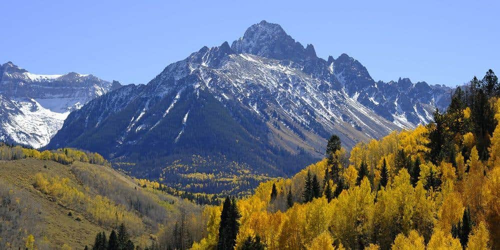
Crystal Peak Trail
Climb a high 13er in the Tenmile Range from the Spruce Creek Trailhead. Trail goes past Mohawk and Mayflower Lakes before turning up the south slopes to the summit. Excellent acclimatization climb for those preparing for 14ers.
Hiking in Breckenridge: what to know
Breckenridge hiking is defined by Quandary Peak (14,271 feet), the most-summited 14er for first-timers. The standard East Ridge route is 6.75 miles round trip with 3,450 feet of gain, non-technical, well-marked, and reachable from town in 15 minutes.
Quandary requires a parking reservation during summer (June through October) through recreation.gov. Book 1-2 weeks ahead for weekends. Overflow parking is at the Blue River lot with a shuttle.
For shorter days, Mohawk Lakes (4 miles round trip, 1,400 feet of gain) is the local lake classic. The route accesses a chain of three alpine lakes from the Spruce Creek Trailhead. Mayflower Lakes is a slightly shorter variant.
Crystal Peak Trail (8 miles round trip, 3,300 feet of gain) is the area's best 13er: a serious climb to a 13,852-foot summit with full Tenmile Range panorama. Excellent acclimatization climb for those preparing for 14ers.
Around town, the Breckenridge Recreation Trail provides flat paved walking along the river. The Breckenridge Ski Resort runs the BreckConnect gondola in summer for easy alpine access.
Boreas Pass (north of Breckenridge) provides another alpine hiking corridor with shorter accessible trails along the historic railroad bed.
The Tenmile Range traverse (Frisco to Breckenridge) is the area's premier multi-peak day: a high ridge walk hitting Peak 1 through Peak 10 over about 16 miles. This is a serious backcountry day.
Breckenridge weather: summer thunderstorms are routine; winter brings heavy snow (the ski resort gets 300+ inches annually). Most summer hikes are best in July and August after snow has cleared from the high country.
In winter, the Hoosier Pass area provides accessible backcountry skiing and snowshoeing. The Breckenridge Nordic Center grooms trails in town for cross-country skiing.
14ers Near Breckenridge
One Colorado 14er has its trailhead near Breckenridge.
Browse all 58 Colorado 14ers →