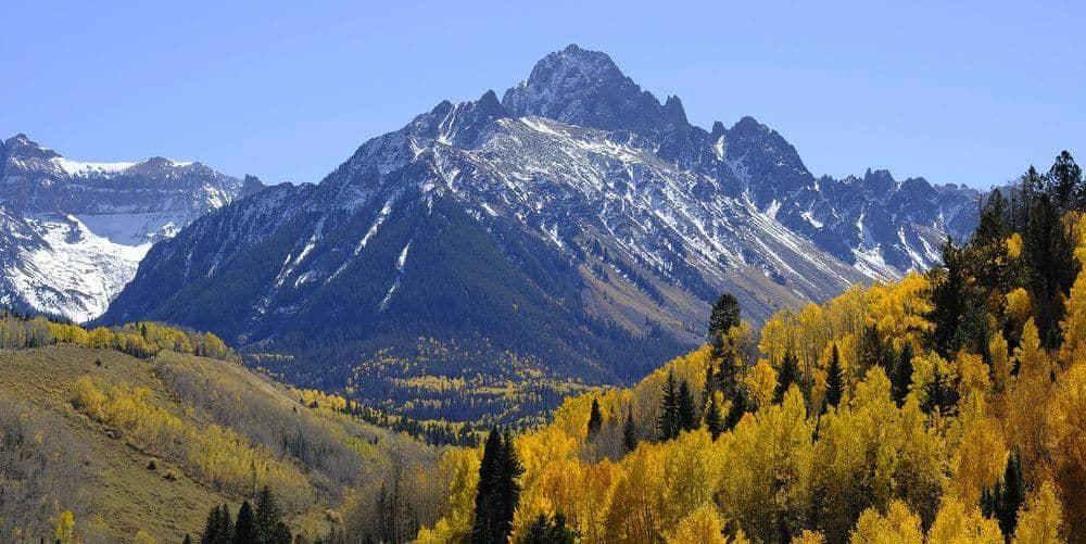
Mount Belford is the first and most direct of the three fourteeners that share the Missouri Gulch trailhead above Clear Creek, and the one most people climb first. Its northwest ridge is a built trail the whole way, which makes Belford a fair first Sawatch peak, and the summit is the launching point for Mount Oxford across the connecting ridge.
Standard Route
From the Missouri Gulch trailhead at 9,650 feet, cross the footbridge over Clear Creek and start up the switchbacks immediately. The first 1.5 miles gain about 1,300 feet through spruce to a collapsed cabin near treeline at 11,300 feet. The trail follows the creek into the open gulch, then splits at about 11,600 feet: left continues toward Elkhead Pass and Missouri Mountain, right climbs Belford's northwest ridge. The ridge trail, rebuilt by the Colorado Fourteeners Initiative, switchbacks up 2,600 feet of grass and talus to the summit. Count on 8 miles round trip and 4,500 feet of gain for Belford alone.
What to Expect
The northwest ridge is steep and unrelenting; there is no flat ground between the gulch and the summit. The Belford-Oxford link drops 700 feet east to a saddle and climbs it back, then you regain Belford on the return, so the two-peak day carries about 5,800 feet of cumulative gain over 11 miles. The ridge is broad and easy to follow in clear weather and easy to lose in cloud. Missouri Mountain is usually a separate day from the same trailhead by way of Elkhead Pass.
Access & Logistics
Missouri Gulch is 7.5 miles west of US 24 on Chaffee County Road 390, a graded gravel road that passenger cars handle in dry conditions. The turn is at Clear Creek Reservoir between Leadville and Buena Vista. The lot holds about 30 cars and overflows onto the road by 6 AM on summer weekends. No permit or fee.
When to Climb
The trail below treeline melts out by early June, and the ridge is usually dry by late June. The reliable window is July through early October. Belford's northwest ridge is a common winter climb because it avoids most avalanche terrain, but the road is not plowed past the reservoir and the approach becomes a long ski or snowshoe.
From July into September, thunderstorms build over the ridge by early afternoon most days. Start by 5 AM if you plan to add Oxford, since you will be four miles from the trailhead and above 13,000 feet for the whole traverse.
Camping, Permits, and Nearby
Dispersed camping is allowed along County Road 390 for its full length, and the ghost town of Vicksburg a mile past the trailhead has a small museum. Backcountry camping in Missouri Gulch is allowed under Collegiate Peaks Wilderness rules: 100 feet from water and trails, no fires above treeline, dogs on leash. Buena Vista, 30 minutes south, and Leadville, 25 minutes north, have groceries, gas, and lodging. Huron Peak, a shorter and gentler fourteener, starts from Winfield at the end of the same road.
Gear Notes
Trekking poles earn their weight on the 4,500-foot descent. Pack wind layers; the ridge is exposed to weather from the west for its entire length. Carry three liters of water, since the creek in the gulch is the last reliable source.
Related Reading
Often Climbed With
Mount Oxford →
14,153 ft · Class 2 · 11 mi standard route
Planning a Mount Belford climb? Get the prep checklist.
Free PDF — pre-climb fitness, gear, weather decision tree. Plus weekly Colorado trail picks.
We respect your inbox. Unsubscribe anytime.