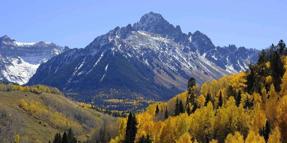
Mount Oxford is the fourteener you reach by crossing a ridge from Mount Belford. It has no standalone trail, so its standard route is Belford's northwest ridge plus a 1.5-mile Class 2 traverse, and the whole day runs about 11 miles with 5,800 feet of cumulative gain because you climb Belford twice.
Standard Route
From the Missouri Gulch trailhead, follow the Belford route up the switchbacks and the northwest ridge to Belford's summit at 14,203 feet. From there, descend the broad east ridge about 700 feet to the Belford-Oxford saddle near 13,500 feet, then climb 650 feet up Oxford's west ridge to the summit. The ridge is wide and mostly grass and talus with a faint trail. Return by the same ridge, re-climbing Belford, and descend the northwest ridge to the trailhead.
What to Expect
Oxford is the bonus peak, and the price is the second Belford ascent on the way home, which comes after six or seven hours on your feet. The traverse itself is easy walking with good footing and no exposure to speak of. Weather is the real concern: when you stand on Oxford you are about 5 miles from the trailhead with a 14,000-foot summit between you and the way down. If clouds are building at the saddle, turn around. There is a descent from the Belford-Oxford saddle into Missouri Gulch by way of Elkhead Pass that avoids re-climbing Belford, but it is longer and adds route-finding.
Access & Logistics
Missouri Gulch trailhead is 7.5 miles up Chaffee County Road 390 from US 24 at Clear Creek Reservoir. The gravel road is fine for passenger cars in dry weather. Parking overflows by 6 AM on summer weekends. No fee or permit.
When to Climb
Mid-June through early October, with the ridge usually dry by late June. The Belford-Oxford traverse is exposed to wind and weather along its whole length, and the pair is best done in July and August when the days are longest. In winter the traverse is a serious undertaking because of the distance from the road; Belford alone is the usual winter goal.
Start before 5 AM so you are on Oxford by 9 and back over Belford before the early-afternoon storms.
Camping, Permits, and Nearby
Camp along County Road 390, where dispersed sites are free and plentiful, or in upper Missouri Gulch under Collegiate Peaks Wilderness rules. Buena Vista and Leadville are each about 25 minutes from the trailhead and have groceries, gas, and lodging. Missouri Mountain shares the trailhead and is usually a separate day; Huron Peak starts from Winfield, 4 miles farther up the same road.
Gear Notes
Three liters of water, since nothing runs above the gulch, and poles for the two long descents. A wind shell and warm hat matter more on this ridge than on most Sawatch routes.
Related Reading
Often Climbed With
Mount Belford →
14,203 ft · Class 2 · 8 mi standard route
Planning a Mount Oxford climb? Get the prep checklist.
Free PDF — pre-climb fitness, gear, weather decision tree. Plus weekly Colorado trail picks.
We respect your inbox. Unsubscribe anytime.