San Juan Mountains, Colorado: A Hiker's Guide to the State's Wildest Range (2026)
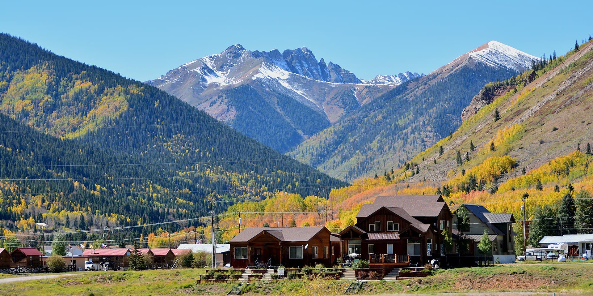
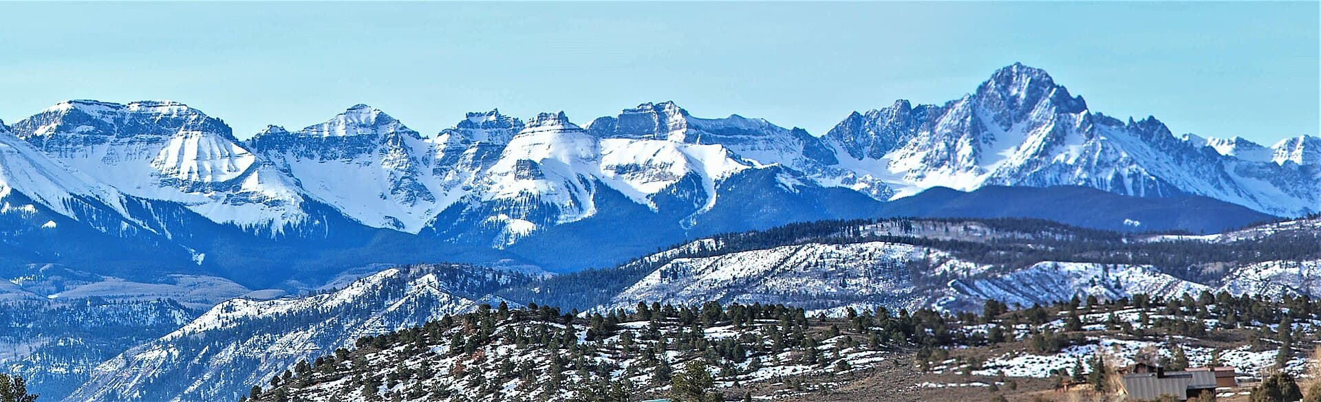
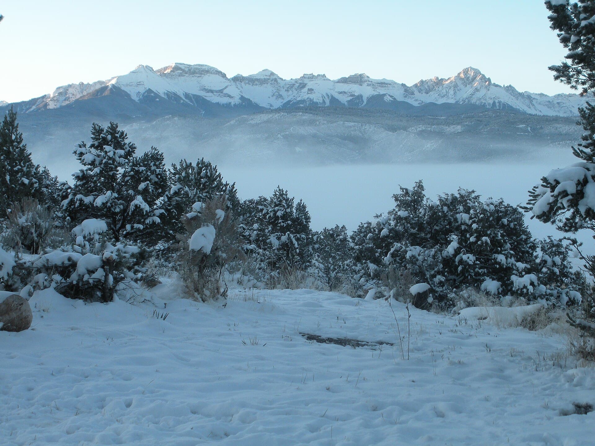
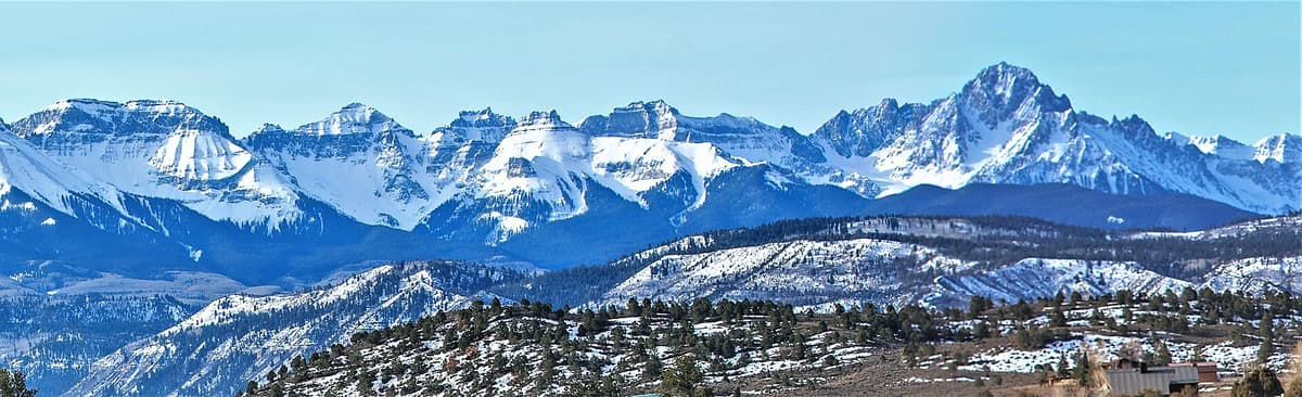
The San Juan Mountains sit in Colorado's southwest corner, spread across something like 12,000 square miles between Durango, Telluride, Lake City, and Creede. They hold 14 summits above 14,000 feet, the largest wilderness area in the state, and the most broken-up terrain Colorado has. If the Front Range peaks read as big rounded piles of rock, the San Juans read as something that got torn apart and never put back.
That's close to what happened. The range is built on an old volcanic field, and the rock it left behind erodes into spires, cliff bands, and red-and-orange mineral stains you don't see much elsewhere in the state. The tradeoff is that the San Juans are far from Denver, the weather turns fast, and a lot of the good stuff sits behind rough dirt roads.
This guide covers where the range is, what makes it look that way, the 14ers, the towns worth basing in, the hikes and drives that justify the trip, and when to come.
What you'll learn
- Where the San Juan Mountains are and how big they really are
- The volcano that built the range
- The 14ers of the San Juans, all 14 of them
- Which base town to pick: Durango, Silverton, Ouray, Telluride, or Lake City
- Five hikes worth planning a trip around
- The San Juan Skyway and the Million Dollar Highway
- The Alpine Loop if you have a 4WD
- When to go, including fall color timing
- Why the San Juans are harder than they look
- What to pack
- FAQs
Where the San Juan Mountains are {#where}
Draw a box around the bottom-left quarter of Colorado and you've more or less got it. Durango anchors the south side, Telluride and Ridgway the northwest, Ouray and Silverton the middle, Lake City and Creede the northeast, and Pagosa Springs the southeast. US-550 runs north to south through the heart of it, and US-160 clips the southern edge.
The range is often called the largest single range in the Rocky Mountains by area, and while sources argue about how you draw the boundary, nobody argues that it's huge. Six federally designated wilderness areas sit inside it: the Weminuche, South San Juan, Lizard Head, Mount Sneffels, Uncompahgre, and La Garita.
The Weminuche alone runs 499,771 acres, which makes it Colorado's largest wilderness by a wide margin and roughly three quarters the size of Rhode Island. Congress designated it in 1975 and expanded it twice. Its average elevation is around 10,000 feet, which tells you something about the kind of hiking you're signing up for.
The volcano that built the range {#geology}
Starting about 35 million years ago, this part of Colorado was covered in volcanoes, some of them reportedly over two miles tall. Geologists mapping the area in the 1970s identified up to 18 collapsed calderas across what's now called the San Juan volcanic field.
The big one was the La Garita Caldera, near modern Creede. About 28 million years ago it produced the Fish Canyon Tuff, roughly 1,200 cubic miles of erupted material, which rates a maximum 8 on the volcanic explosivity index. It's one of the largest eruptions geologists have found evidence of anywhere. The caldera itself is an oblong depression measuring roughly 22 by 47 miles.
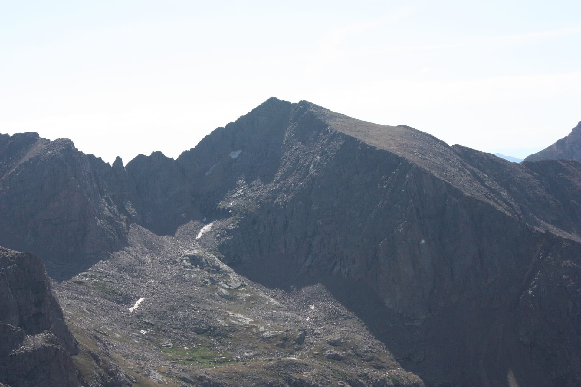
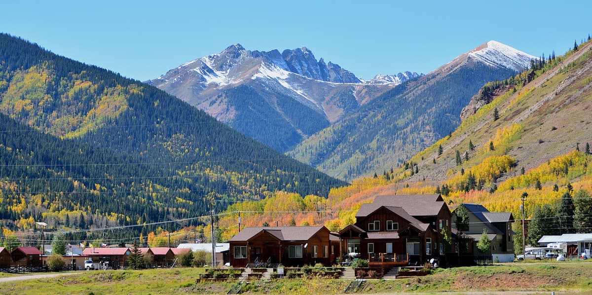
You can see the result from the road. The layered cliff bands above Silverton, the orange and rust staining on Red Mountain Pass, the loose scree that makes San Juan 14ers less fun than Sawatch ones: all of that traces back to volcanic rock and the mineral-rich water that moved through it. It's also why the mining boom happened here, and why so many of the towns are 1870s silver camps that never quite left.
The 14ers of the San Juans {#14ers}
Twelve of Colorado's 53 ranked 14ers are in the San Juans, plus two more summits that clear 14,000 feet but don't have the 300 feet of prominence needed to rank on their own.
| Peak | Elevation | Area |
|---|---|---|
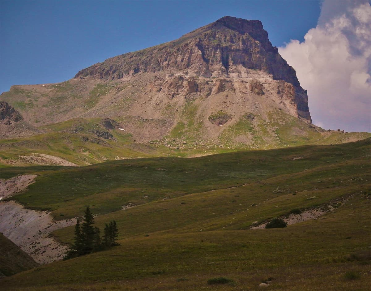
| Uncompahgre Peak | ~14,309 ft | Uncompahgre Wilderness |
| Mount Wilson | ~14,252 ft | Lizard Head Wilderness |
| Mount Sneffels | ~14,150 ft | Mount Sneffels Wilderness |
| Mount Eolus | ~14,083 ft | Chicago Basin |
| Windom Peak | ~14,093 ft | Chicago Basin |
| Sunlight Peak | ~14,059 ft | Chicago Basin |
| Handies Peak | ~14,048 ft | American Basin |
| Redcloud Peak | ~14,034 ft | Lake City area |
| Wilson Peak | ~14,017 ft | Lizard Head Wilderness |
| Wetterhorn Peak | ~14,015 ft | Uncompahgre Wilderness |
| San Luis Peak | ~14,014 ft | La Garita Wilderness |
| Sunshine Peak | ~14,001 ft | Lake City area |
| El Diente Peak (unranked) | ~14,164 ft | Lizard Head Wilderness |
| North Eolus (unranked) | ~14,039 ft | Chicago Basin |
Published elevations vary by a few feet depending on which survey you're reading, so treat these as close rather than exact. Uncompahgre is the range high point and the sixth-highest peak in Colorado.
A few of these deserve a warning. Sunlight Peak's summit block is a genuine scramble that turns people around at the last twenty feet. Mount Wilson and El Diente are among the hardest 14ers in the state, and the traverse between them is serious. Wetterhorn and Sneffels both involve real Class 3 rock. If you're new to 14ers, start with Handies Peak, which is the friendliest of the bunch, or work through our list of the easiest 14ers in Colorado first. Our Colorado 14ers guide covers the rating system in more detail.
Which base town to pick {#towns}
There's no single right answer, but the towns are different enough that the choice matters.
Durango (about 6,512 ft) is the biggest, with the most lodging, restaurants, and flights. It's the warmest and lowest, which helps if you're coming from sea level and want a night to adjust. It's also the farthest from the high alpine stuff, so expect drives. See our Durango hiking roundup and the Durango hot springs guide.
Silverton (about 9,318 ft) puts you in the middle of everything, at the cost of thin air and limited services. If your plan is Ice Lakes, the Alpine Loop, and Molas Pass, this is the spot.
Ouray (about 7,792 ft) is wedged into a box canyon under vertical walls, which is why people call it the Switzerland of America. Good balance of altitude and access, plus the Ouray Hot Springs Pool and Orvis Hot Springs just down the road.
Telluride (about 8,750 ft) is the prettiest and the most expensive. It's the base for Blue Lakes, Bridal Veil Falls, and the Lizard Head peaks. We've got a Telluride hiking roundup and a weekend itinerary.
Lake City (about 8,671 ft) is the quiet one. Small, remote, and the closest town to Handies, Redcloud, Sunshine, Uncompahgre, and the east end of the Alpine Loop.
Five hikes worth planning a trip around {#hikes}
Ice Lake Basin near Silverton is the postcard. Roughly 7 miles round trip and about 2,500 feet of gain from the South Mineral Campground area up to a lake that turns an unreal turquoise from dissolved minerals. The 2020 Ice Fire burned through the lower trail; it reopened in 2021, but a burn scar stays hazardous in wind and heavy rain, so check the San Juan National Forest site before you drive out. Parking fills absurdly early on summer weekends.
Blue Lakes in the Mount Sneffels Wilderness climbs past three stacked alpine lakes under Sneffels itself. Full details in our Blue Lakes Trail guide.
Chicago Basin is the big one: a backpacking trip reached by riding the Durango and Silverton Narrow Gauge Railroad to the Needleton flag stop, then hiking about 6 miles and 3,000 feet up to camp. Three 14ers from one basin. Our Chicago Basin guide has the train logistics and the mountain goat problem.
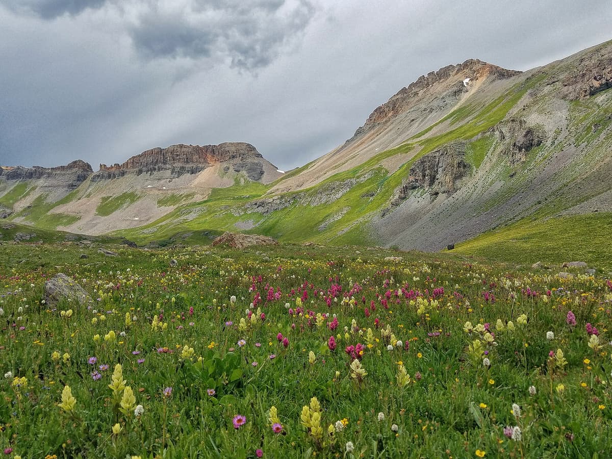
American Basin off the Alpine Loop is one of the best wildflower displays in Colorado, peaking mid-to-late July with columbine, paintbrush, and lupine filling the whole valley floor. It's also the short approach to Handies.
Highland Mary Lakes out of Cunningham Gulch near Silverton is a steep grind to a cluster of tundra lakes with far fewer people than Ice Lakes. Good backup plan when the Ice Lakes lot is full.
If lakes are your thing generally, our best alpine lakes in Colorado roundup leans heavily on this range for good reason.
The San Juan Skyway and the Million Dollar Highway {#skyway}
The San Juan Skyway is a 233-mile paved loop connecting Durango, Dolores, Telluride, Ridgway, Ouray, and Silverton on US-550, CO-62, CO-145, and US-160. You can drive it in a long day, but two or three days is more realistic if you want to stop.
The famous piece is the Million Dollar Highway, the 25-mile stretch of US-550 between Silverton and Ouray. It climbs over Red Mountain Pass at about 11,018 feet on a shelf road cut into cliffs, with minimal guardrail and a long drop on the outside. It's not technically difficult, but it makes nervous passengers miserable.
One practical tip: drive it counter-clockwise (Ouray to Silverton going south) and you're on the inside lane against the rock wall for the worst curves, not the drop-off side. Going the other way puts the void right outside your window.
South of Silverton the same highway crosses Molas Pass and Coal Bank Pass on the way to Durango, both worth a pullout. If you want a longer route, our 7-day Colorado hiking road trip stitches this loop into a bigger one.
The Alpine Loop, if you have a 4WD {#alpine-loop}
The Alpine Loop Backcountry Byway is a 65-mile route connecting Lake City, Silverton, and Ouray over Engineer Pass (about 12,800 ft) and Cinnamon Pass (about 12,640 ft). It's typically open from around late May through September depending on snow.
The lower sections are graded gravel that most cars handle. The passes themselves are not. Those are rocky shelf roads with steep pitches and tight switchbacks that want high-clearance 4WD with low range, and a rental sedan on Engineer Pass is how people end up with a very expensive tow bill. Rent a proper vehicle in Lake City, Ouray, or Silverton if you don't have one.
What you get for the trouble: ghost towns, mine ruins, waterfalls, and American Basin in full bloom.
When to go {#when}
Late June through mid-July is when the high trails finally melt out and the wildflowers start. High trailheads and the 4WD passes often aren't clear until well into June, and some years later.
Mid-July through August brings the monsoon. Afternoon thunderstorms build almost daily, and above treeline in the San Juans is a bad place to be caught. Start early, plan to be off summits and ridges by early afternoon, and take the pattern seriously. Our altitude sickness guide is worth reading before any trip up here, since most trailheads start above 9,000 feet.
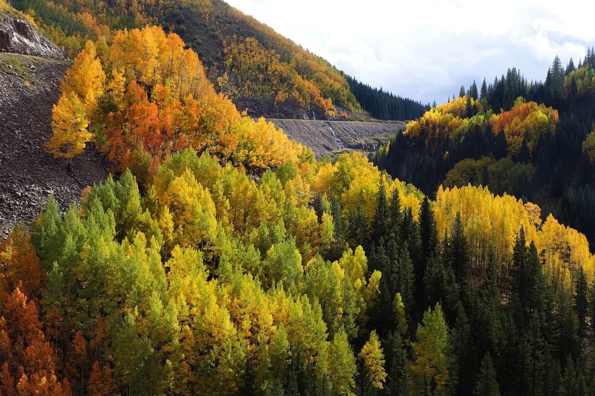
Late September into early October is peak fall color, and the San Juans are the best in the state for it. Color generally starts mid-September around Silverton and finishes early-to-mid October around Pagosa Springs, Purgatory, and Dolores. The west side near Dolores, Lizard Head, and Telluride tends to run a bit behind Ouray and Silverton. A wet monsoon pushes everything later; a dry summer pulls it earlier.
Winter shuts most of it down. The San Juans get enormous snowfall and the avalanche paths across Red Mountain Pass are legendary, with closures that can last days. Ouray becomes an ice climbing town and Silverton becomes a backcountry skiing town. Hiking mostly moves down to Durango and the low country.
Why the San Juans are harder than they look {#harder}
Three things catch people who've only hiked the Front Range.
The rock is worse. Volcanic rock breaks down into loose, rotten scree and ball-bearing gravel. Routes rated the same as a Sawatch peak feel less secure, and rockfall is a real concern with parties above you.
The approaches are longer. There's no Bierstadt equivalent where you park at 11,000 feet and are on the summit in three hours. Chicago Basin needs a train and an overnight. Even the day hikes usually involve a dirt road first.
Help is farther away. Cell service is spotty to nonexistent across most of the range, the nearest hospital can be an hour or more from a trailhead, and search and rescue in the Weminuche is a genuine expedition. Carry a map, tell someone your plan, and consider a satellite messenger for anything remote.
What to pack {#packing}
Nothing exotic, but a few things earn their weight here specifically.
- Boots with real tread. Loose volcanic scree punishes worn-out soles. See our Colorado hiking boot picks or browse hiking boots on Amazon.
- Trekking poles for the steep loose descents. Poles on Amazon.
- A real rain jacket, not a windbreaker, because the monsoon is not optional. Rain jackets on Amazon.
- A water filter, since most of these hikes cross running water and mine drainage means you should never drink untreated. Filters on Amazon.
- Sun protection. At 12,000 feet the UV is brutal. Sun hats on Amazon.
- A headlamp for the alpine starts you'll be doing all summer.
- Microspikes if you're going early season or after mid-September.
Trailhead lots up here are small and fill early. Our Colorado trailhead parking guide covers the timed-entry and reservation systems that are spreading across the state.
Frequently asked questions {#faqs}
Where exactly are the San Juan Mountains?
They cover southwestern Colorado, roughly bounded by Durango to the south, Telluride and Ridgway to the northwest, Lake City and Creede to the northeast, and Pagosa Springs to the southeast. A small portion extends into northern New Mexico. US-550 runs through the middle of the range.
How many 14ers are in the San Juan Mountains?
Twelve ranked 14ers, plus El Diente Peak and North Eolus, which both top 14,000 feet but lack the 300 feet of prominence needed to rank separately. That's 14 summits over 14,000 feet total. Uncompahgre Peak is the range high point at about 14,309 feet.
What's the best town to stay in for hiking the San Juans?
Silverton for central access if you can handle sleeping at 9,300 feet, Ouray for a balance of altitude and amenities, Durango for the most lodging and the easiest arrival, Telluride for the northwest peaks. Lake City is best if you're focused on Handies, Redcloud, and the Alpine Loop.
When do the San Juan Mountains peak for fall colors?
Late September into early October in most years. Colors typically begin mid-September near Silverton and finish early-to-mid October near Pagosa Springs and Dolores. Wet summers delay the change; dry ones speed it up.
Do you need a 4WD to visit the San Juan Mountains?
Not for the paved San Juan Skyway, which any car handles. You do need high-clearance 4WD for the Alpine Loop passes, many mining roads, and some upper trailheads. Plenty of good hiking is reachable in a regular car, but your options widen a lot with clearance.
The San Juans reward a longer trip than most Colorado ranges. Give yourself four or five days minimum, pick one town instead of hopping every night, and build in a weather day. Start with our Durango hiking roundup if you're planning the southern half, or the Telluride weekend itinerary for the northwest side. And if you want a soak after all that scree, the best hot springs in Colorado are disproportionately clustered right here.
Get the Colorado 14er Packing Checklist (free PDF)
Plus a weekly note on the best Colorado trails, gear deals, and seasonal hike picks. No spam, unsubscribe anytime.
We respect your inbox. Unsubscribe anytime.