Mount Sneffels: A Complete Guide to Climbing Colorado's Iconic San Juan 14er
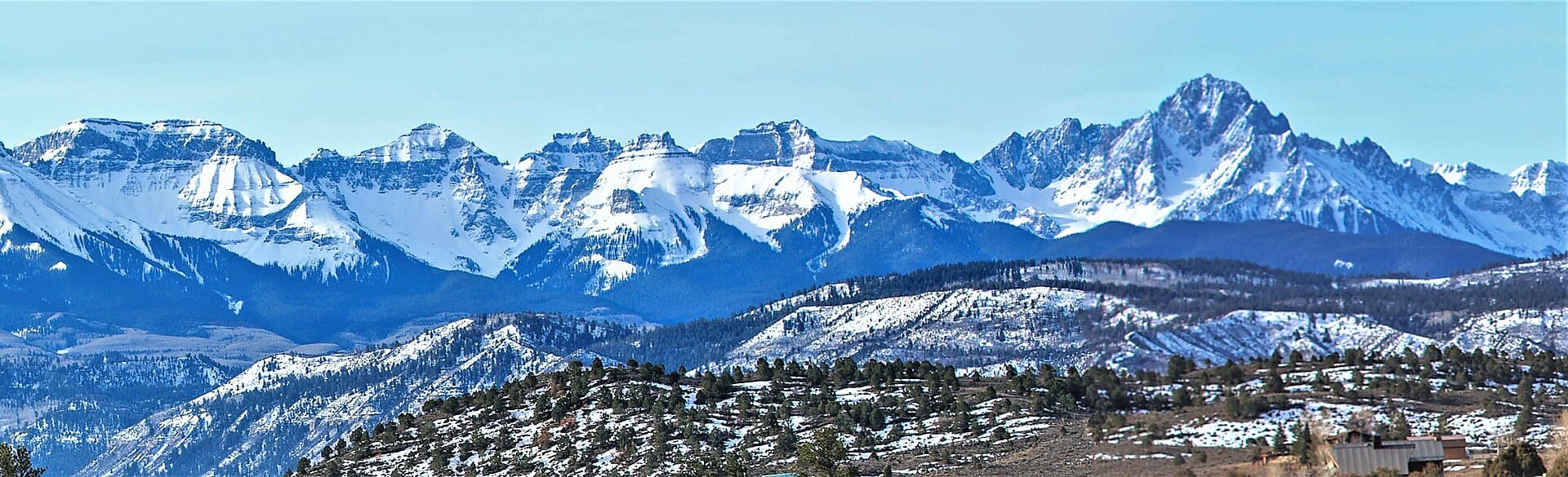
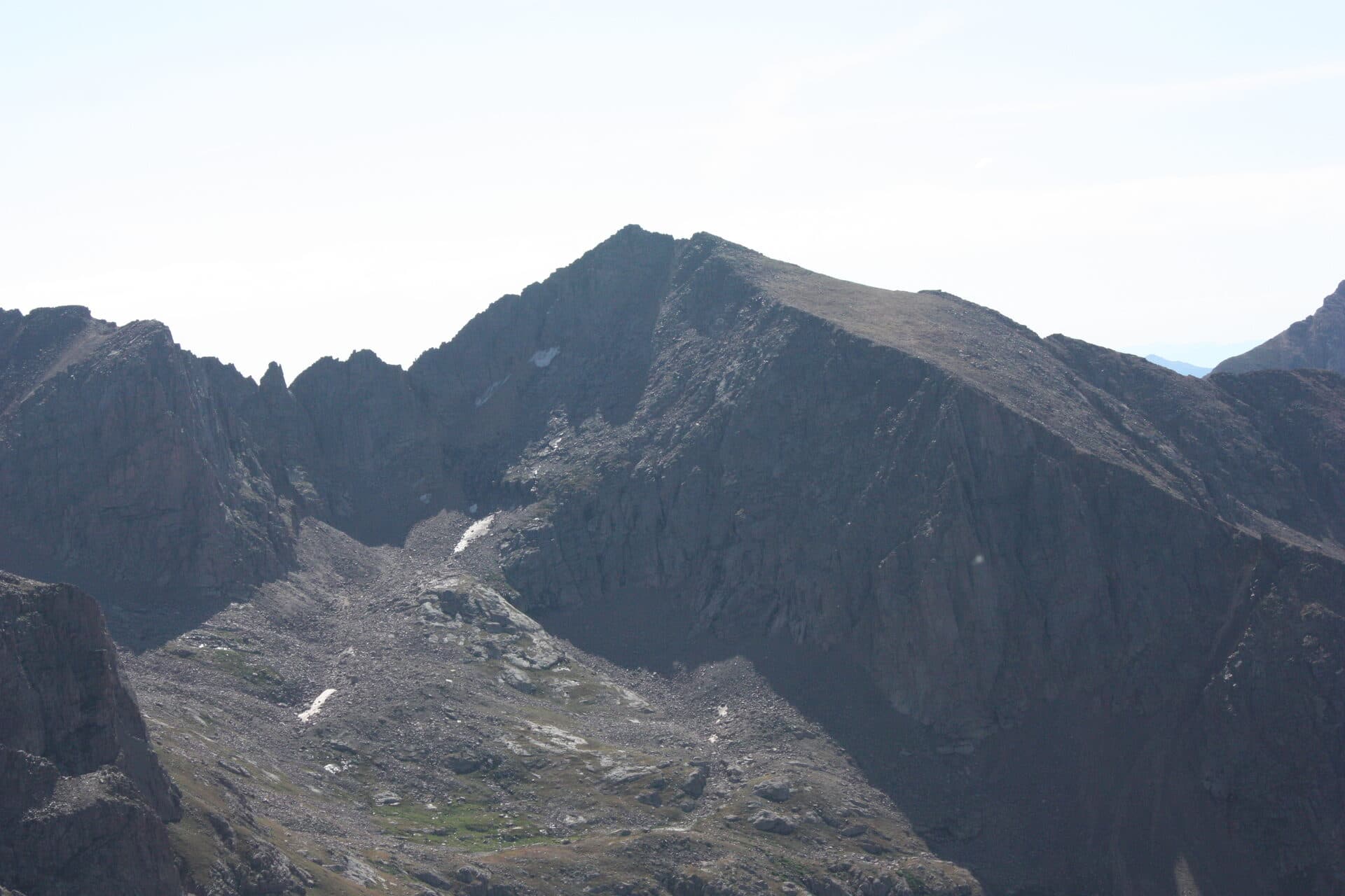
Mount Sneffels (14,150 ft) is the peak you've probably seen a hundred times without knowing its name. It's the sharp, pyramid-shaped summit that anchors the ridgeline behind Ouray and shows up on postcards, license plates, and half the calendar photos of the San Juan Mountains. Climbing it is a different story from admiring it. The standard route is a Class 3 scramble up loose rock, with a short move through a rock notch that makes it one of the more serious "moderate" 14ers in the state.
From the upper Yankee Boy Basin trailhead, the standard South Slopes route runs about 2.75 miles round trip with roughly 1,700 feet of gain. That sounds gentle, and the mileage is. The rock is what earns Sneffels its reputation: a steep scree gully to a saddle called Lavender Col, then a tighter gully to the summit ridge, capped by a short scramble through the V-notch. None of it is technical climbing, but it's hands-on, loose, and exposed enough that a helmet belongs in your pack.
This guide covers both ways to reach the mountain, the Yankee Boy Basin road that shapes your whole day, the scramble itself, and the gear and timing that keep it safe and fun.
What You'll Learn
- Quick Stats
- Getting to the Trailhead
- The Standard Route: South Slopes
- The V-Notch and the Summit
- The Blue Lakes Alternative
- What to Pack
- Timing and Weather
- When to Climb
- How Hard Is Mount Sneffels?
- Common Mistakes
- Frequently Asked Questions
Quick Stats
South Slopes route from the upper (4WD) trailhead:
- Elevation: 14,150 ft (one of Colorado's 58 fourteeners)
- Round Trip Distance: about 2.75 miles
- Elevation Gain: about 1,700 ft
- Class: 3 (hands-on scrambling near the top)
- Time: 4 to 6 hours
- Trailhead: Upper Yankee Boy Basin, about 12,450 ft
From the lower (2WD) trailhead:
- Round Trip Distance: about 6.5 to 7 miles
- Elevation Gain: about 2,900 ft
- Add roughly 2 to 3 hours of road walking each way
Nearest town: Ouray
Range: Sneffels Range, Mount Sneffels Wilderness
Best Season: Mid-July through late September
Permit: None required
Crowds: Busy on summer weekends, especially during wildflower season
Getting to the Trailhead
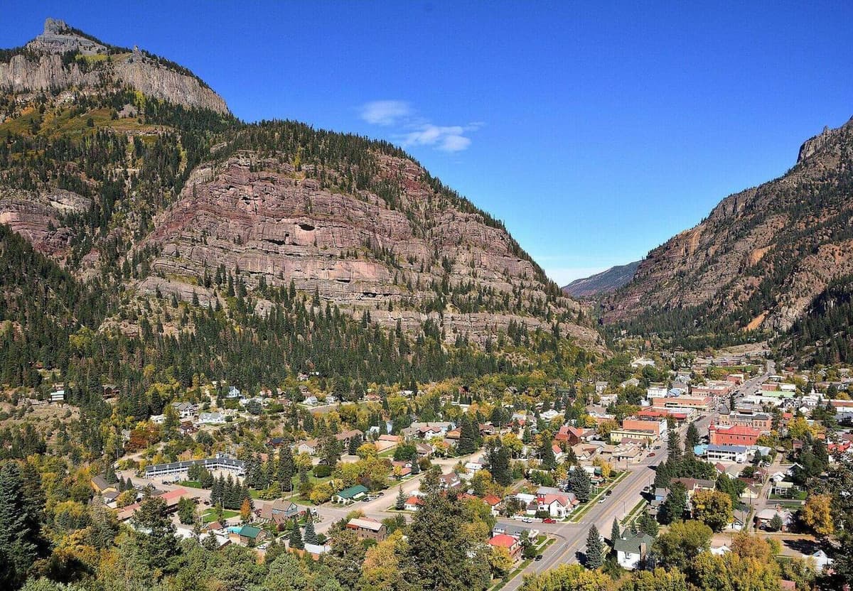
Sneffels sits above Yankee Boy Basin, southwest of Ouray, and the road into that basin decides how long your day runs. It branches off the Camp Bird Mine road (County Road 361), which leaves US 550 just south of Ouray.
Here's how the drive breaks down for most vehicles:
- Ouray to the lower trailhead: The first several miles up the Camp Bird road are graded dirt that a careful passenger car can handle in dry weather. This gets you to the lower trailhead near where the road forks, around 11,300 ft.
- The middle stretch into Yankee Boy Basin: Past the fork, the road turns rougher and rockier. High-clearance 2WD can usually manage the next section to a second parking area, but the surface is loose and slow.
- The final push to the upper trailhead: The last stretch up to the 12,450-foot trailhead needs high-clearance 4WD. There are embedded rocks and a couple of steps that stop stock SUVs. Plenty of people park lower and walk the road in.
If you don't have a capable 4WD, don't force it. Park where your vehicle is comfortable and walk the rest. The road walking is scenic, and Yankee Boy Basin holds some of the best wildflower displays in Colorado through July. For more on planning access to remote trailheads like this one, see our notes on Colorado trailhead parking.
Drive from Denver: Budget about 6 hours to Ouray, then 45 to 90 minutes on the basin road depending on your vehicle and where you park. This is a peak you sleep near, not one you day-trip from the Front Range.
Restrooms: Vault toilets in Yankee Boy Basin. None higher up.
Cell service: None at the trailhead or on the mountain. Download your maps before you leave Ouray.
The Standard Route: South Slopes
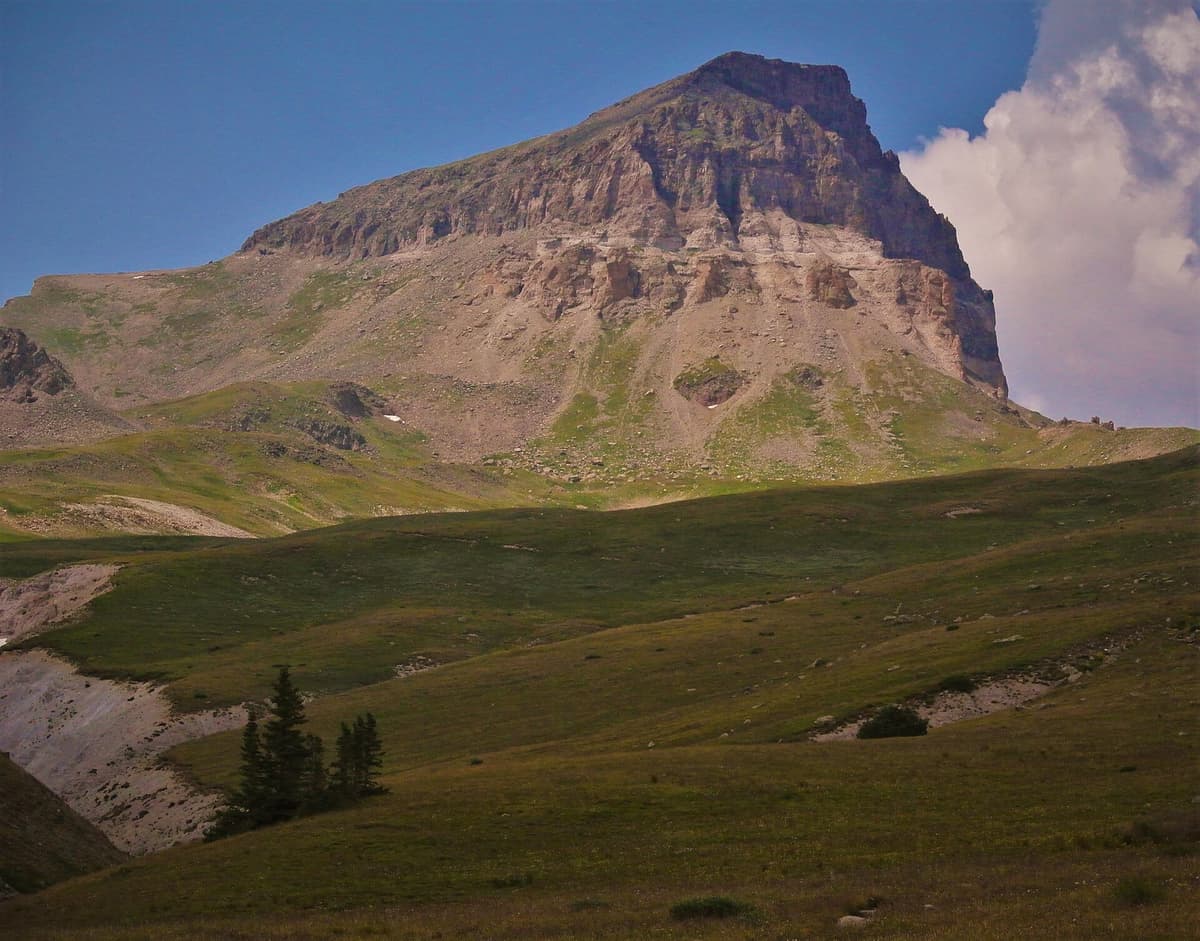
The South Slopes route (sometimes called the Southwest Ridge) is how most people climb Sneffels. It's the shortest line to the top, and it packs all the character of the mountain into a couple of miles.
Section 1: Basin to Lavender Col (about 0.9 miles)
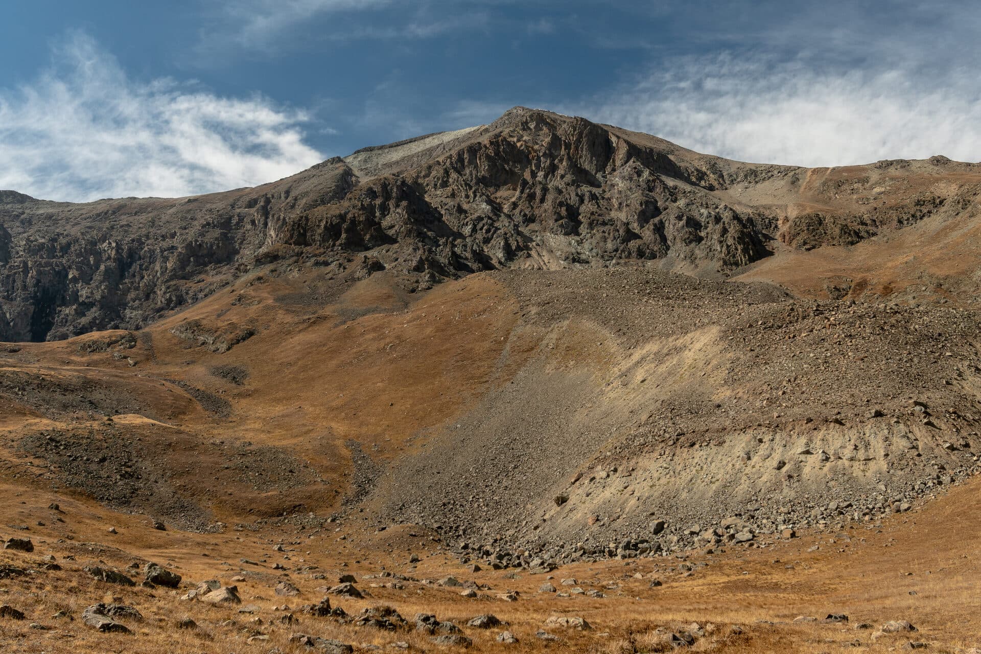
From the upper trailhead at roughly 12,450 ft, the trail climbs northwest into the upper basin below the peak. The grade is moderate at first, winding through tundra and talus with Sneffels standing tall ahead of you. Follow the main path toward the obvious saddle high on the ridge, which is Lavender Col at about 13,500 ft.
The last few hundred feet to the col climb a gully of loose scree. This is tedious ground: two steps up, one step sliding back. Trekking poles help here, and so does patience. Take the switchbacks where they exist rather than charging straight up the fall line, both to save energy and to knock less rock loose on anyone below you.
Section 2: Lavender Col to the Notch Gully (about 0.3 miles)
At Lavender Col you reach the ridge and get your first look down the other side. Don't go over the col. The route turns left (west) and climbs a second, narrower gully that angles up toward the summit block. This gully is steeper and looser than the first, with more hands-on scrambling and real rockfall potential.
This is where a helmet earns its place. If there are climbers above you, the odds of dislodged rock coming down go up fast. Keep some distance from the group ahead, call out "rock" if you kick anything loose, and move deliberately.
The V-Notch and the Summit
Near the top of the second gully you reach the crux of the whole climb: a narrow rock notch, often called the V-notch, cut into the summit ridge. You scramble up through it using solid hand and foot holds. The moves are Class 3, meaning you use your hands for real, and there's exposure on the far side, but the holds are good and the section is short.
Above the notch, a final stretch of easy scrambling leads to the true summit. Stay alert for cairns and follow the path of least resistance rather than pulling straight up the steepest rock.
The summit of Mount Sneffels is a small, airy perch with one of the best views in the San Juans. On a clear morning you can pick out the Wilson group and the Lizard Head area to the southwest, the Uncompahgre and Wetterhorn peaks to the northeast, and rows of jagged summits in every direction. Sign the register, get your photos, and start down before the weather turns.
The descent is where people get hurt. Downclimbing the V-notch and reversing the loose gullies takes more focus than the way up. Face into the rock on the steep sections, test your holds, and take the scree slowly. Tired legs plus loose rock is how ankles get twisted at 13,000 feet.
The Blue Lakes Alternative
If you'd rather turn Sneffels into an overnight and skip the rough road, the Blue Lakes approach from the west is a beautiful option. The Blue Lakes Trail climbs from the Dallas Trailhead, near Ridgway, up to a string of stunning turquoise lakes below the Sneffels ridge. Many hikers backpack in, camp near Lower Blue Lake, and climb the peak the next morning via the Blue Lakes Pass side.
This route is longer and involves more total climbing, and the upper section to Blue Lakes Pass and beyond is still loose Class 3 terrain. But the lakes themselves are among the prettiest campsites in Colorado, and the approach avoids the busiest part of Yankee Boy Basin. It's a strong pick if you want to slow down and soak in the range instead of racing the road.
Either way, you're deep in one of the best corners of the San Juan Mountains. If you're building a longer trip, our guides to the best hikes near Telluride and the best hikes near Durango round out the region.
What to Pack
Sneffels is short, but the loose rock and the scramble raise the stakes compared to a walk-up 14er. Pack for rockfall, thin air, and fast-changing weather.
Quick pick: A lightweight climbing helmet is the single most useful piece of gear on Sneffels. The gullies funnel loose rock, and a helmet turns a scary moment into a non-event. Best safety upgrade for this peak.
Core kit for a summer summit:
- A climbing helmet for the gullies and the notch
- 2.5 to 3 liters of water
- 800 to 1,200 calories of trail food
- Hiking gloves to protect your hands on the rough rock
- A layering system: base layer, insulation, and a rain and wind shell
- Sun protection, since the tundra offers zero shade
- A rechargeable headlamp for your pre-dawn start
- Sturdy boots with real tread for the scree
- Trekking poles for the loose descent
- Offline maps downloaded to your phone, plus a paper backup
For our full picks on the pieces that matter most up high, see our guides to hiking boots for Colorado, rain jackets, and trekking poles. Early in the season, a set of microspikes and an ice axe may be needed for snow lingering in the gullies.
Timing and Weather
The rule for every Colorado 14er applies double on Sneffels: be off the summit by noon.
Afternoon thunderstorms build fast over the San Juans in summer, and the gullies and the notch are no place to be when lightning rolls in. Sneffels is short enough that a dawn start makes an early summit easy to hit.
A reasonable schedule from the upper trailhead:
- Trailhead: 6:00 AM
- Lavender Col: 7:30 AM
- Summit: 8:30 to 9:00 AM
- Back at the car: 11:00 AM
Check the mountain forecast for the Ouray and Telluride area the night before, since you won't have signal at the trailhead. Watch for these red flags:
- Storm probability above 30 percent
- Wind above 35 mph at altitude
- Any snow in a summer forecast, which points to unstable air
Because Sneffels is remote and thin on altitude help, take a headache or nausea seriously. Read up on altitude sickness prevention before you go, and sleep at least one night around Ouray's elevation (about 7,800 ft) to start acclimating.
When to Climb
Best window: Mid-July through late September.
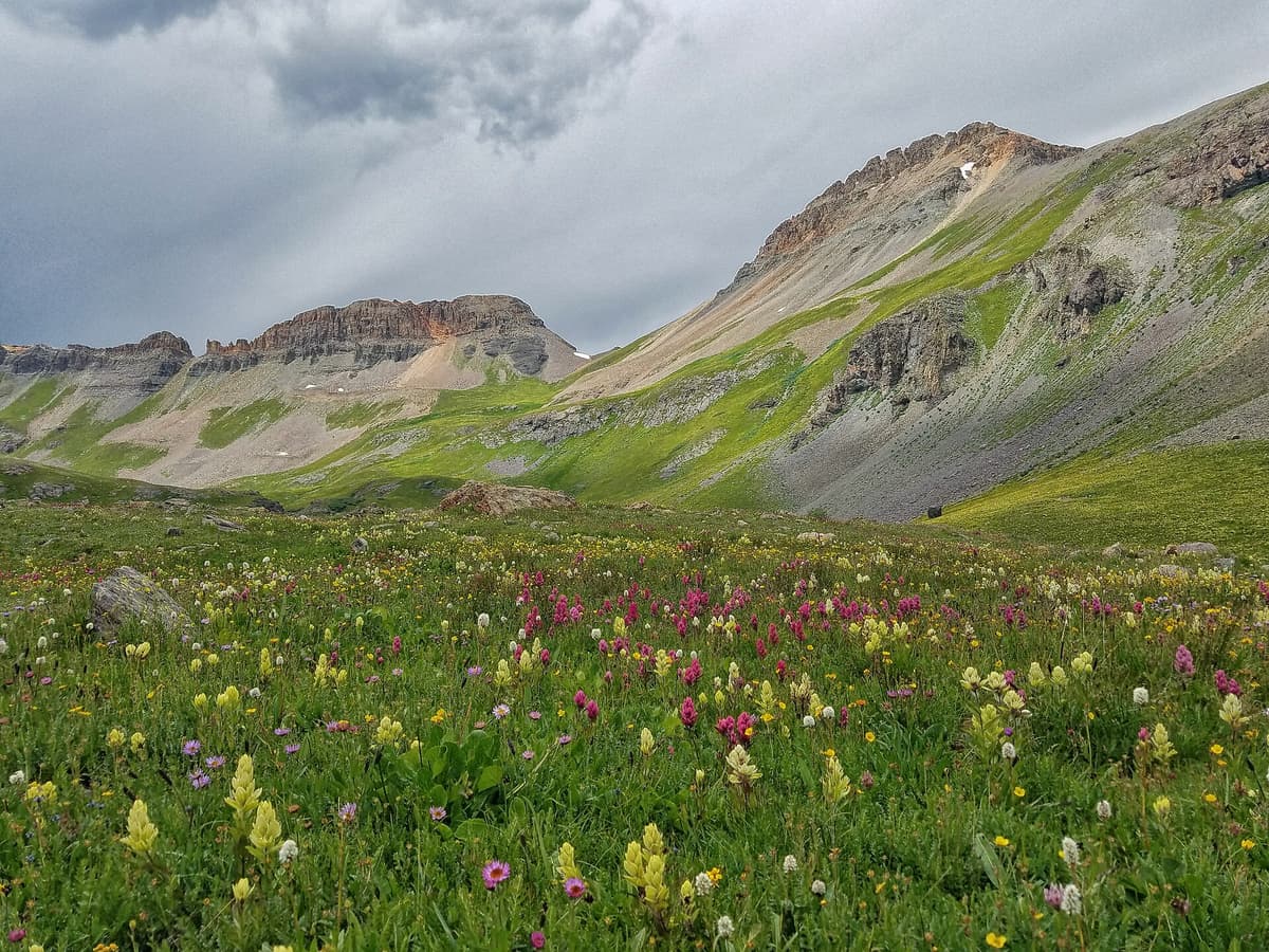
July: Yankee Boy Basin hits peak wildflowers, usually mid-month, and the show is one of the best in the state. It's also the busiest time on the road and the route. Snow can linger in the summit gully into early July, so carry microspikes and know how to use an ice axe early in the month.
August: Warm and green, but this is peak monsoon season. Storms build early most afternoons, so a dawn start is not optional.
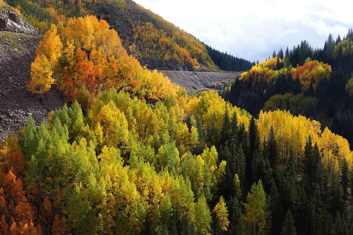
September: Often the most stable weather of the year, with cool mornings, thinning crowds, and the first hints of fall color in the valleys below. The road stays open until snow arrives.
October through June: Snow turns Sneffels into a serious winter mountaineering objective, and the basin road closes. That's a different trip requiring avalanche skills and gear. If winter hiking is new to you, start with our winter hiking guide for beginners before considering anything at this elevation.
How Hard Is Mount Sneffels?
Sneffels is a Class 3 peak, which puts it a clear step above walk-up 14ers like Handies or the easiest beginner summits. The mileage is short and the trail to Lavender Col is straightforward, so the physical demand is manageable for a fit, acclimated hiker. The difficulty is about the terrain, not the distance.
Two things make it feel serious. First, the rock is loose, especially in the second gully, so rockfall is a genuine hazard when the route is crowded. Second, the V-notch is a short but real scramble with exposure, and you have to reverse it on the way down. Neither requires ropes or technical climbing skill, but both reward a calm head and some prior scrambling experience.
Many people climb Sneffels as their first Class 3 fourteener, and it's a fair choice for that. Just go in knowing it's more than a hike. If you've only done Class 1 and 2 summits, spend a little time on easier scrambles first, and pick a quiet weekday to avoid the rockfall that comes with a busy gully. For the bigger picture on Colorado's high peaks and how they're rated, see our Colorado 14ers guide.
Common Mistakes
Going without a helmet. The gullies funnel loose rock, and a busy day means climbers above you. A helmet weighs almost nothing and prevents the worst outcomes.
Crossing over Lavender Col. The route turns west at the col and climbs a second gully. Hikers who continue over the saddle end up off route on harder ground. Know the turn before you go.
Underestimating the descent. Downclimbing the notch and the loose gullies is slower and more dangerous than the ascent. Save energy and focus for the way down.
Starting late. "It's only 2.75 miles" lures people into a mid-morning start, then storms catch them on exposed rock. Treat this like any 14er and start at dawn.
Skipping acclimatization. Coming straight from sea level to a 14,150-foot scramble is how people get sick and make bad decisions on the rock. Spend a night or two at elevation first.
Frequently Asked Questions
How hard is it to climb Mount Sneffels?
Sneffels is a Class 3 climb, meaning you use your hands to scramble near the top. The standard route is only about 2.75 miles round trip from the upper trailhead, so it's short, but the loose rock in the gullies and a short exposed move through the V-notch make it more serious than a walk-up 14er.
Do you need technical climbing gear for Mount Sneffels?
No ropes or harnesses are needed on the standard South Slopes route in summer. You do want a helmet for rockfall in the gullies, sturdy boots, and gloves for the rough rock. Early season, an ice axe and microspikes may be needed for lingering snow.
Can you drive to the Mount Sneffels trailhead?
You can drive part way in any car and reach the upper trailhead only with high-clearance 4WD. The Yankee Boy Basin road gets progressively rougher, so many people park lower and walk the last stretch. Match your parking spot to your vehicle rather than forcing it.
How long does it take to climb Mount Sneffels?
From the upper 4WD trailhead, most people finish in 4 to 6 hours round trip, including breaks and the scramble. Starting from a lower parking area adds 2 to 3 hours of road walking each way, which can turn it into a full day.
Is Mount Sneffels a good first Class 3 fourteener?
It can be. The route is short and the approach is simple, which makes it a common first scramble. Go in with some Class 2 experience, a helmet, and a quiet day to avoid crowds in the loose gully, and it's a reasonable introduction to hands-on 14er terrain.
Final Thoughts
Mount Sneffels is one of Colorado's most photographed peaks for good reason, and standing on that airy summit is worth every loose step in the gully. The trip hinges on two things: the road you drive in on, and the respect you give the rock. Match your route to your vehicle, pack a helmet, and start early.
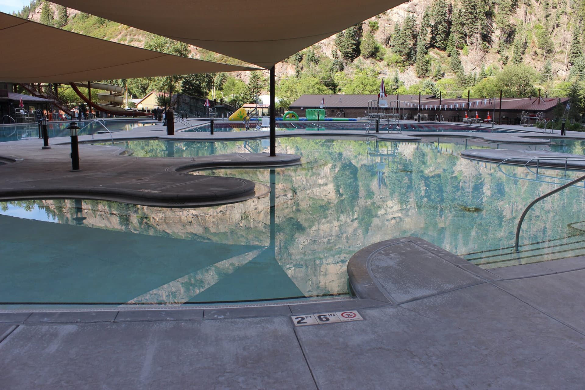
Sleep near Ouray to acclimate, watch the weather, and take the descent as seriously as the climb. Do that, and Sneffels delivers one of the finest summits in the San Juans. When you're back in town, an evening soak at the Ouray Hot Springs pool is the perfect way to end the day. For more high-country routes, see our Colorado 14ers guide and our beginner's guide to Colorado hiking.
Get the Colorado 14er Packing Checklist (free PDF)
Plus a weekly note on the best Colorado trails, gear deals, and seasonal hike picks. No spam, unsubscribe anytime.
We respect your inbox. Unsubscribe anytime.