Capitol Peak: A Climber's Guide to Colorado's Hardest 14er
Capitol Peak is a 14,130-foot mountain in the Elk Mountains southwest of Aspen, and it's the peak most Colorado 14er climbers save for last on purpose. The standard route runs about 17 miles round trip with 5,300 feet of gain, tops out with Class 4 scrambling, and crosses the Knife Edge, a section of ridge so narrow that many people straddle it and scoot. Capitol has killed more people in recent memory than any other Colorado 14er. This guide covers the route, the trailhead, the permit, and the honest question of whether you should be up there at all.
Let me be blunt before anything else. This is not a hike. It's a mountaineering objective with real exposure, loose rock, and a route that punishes small route-finding errors. Five people died on Capitol in a six-week stretch in the summer of 2017. If you're looking for a high summit to celebrate on, start with an easier one from our list of the easiest 14ers for beginners and come back to Capitol with years of scrambling under your belt.
What You'll Learn
- Quick Facts
- Where Is Capitol Peak?
- How Hard Is Capitol Peak, Really?
- Getting to the Capitol Creek Trailhead
- Day One: Backpacking to Capitol Lake
- Day Two: The Summit Climb
- The Knife Edge
- Why Capitol Peak Is So Deadly
- Best Time to Climb
- What to Bring
- Should You Climb Capitol Peak?
- Frequently Asked Questions
Quick Facts
Summit elevation: 14,130 ft (29th highest in Colorado)
Range: Elk Mountains, Maroon Bells-Snowmass Wilderness, near Aspen
Standard route: Northeast Ridge from Capitol Creek Trailhead
Round trip: About 17 miles, 5,300 ft of gain
Difficulty: Class 4, widely called the hardest standard 14er route in Colorado
Trailhead elevation: About 9,450 ft (Capitol Creek Trailhead #1961)
Capitol Lake: 11,600 ft, roughly 6.5 miles in, where most people camp
Permit: Overnight permit required for the wilderness zone (recreation.gov)
Best months: Mid-July through mid-September
Bear canister: Required for all backpackers
Where Is Capitol Peak?
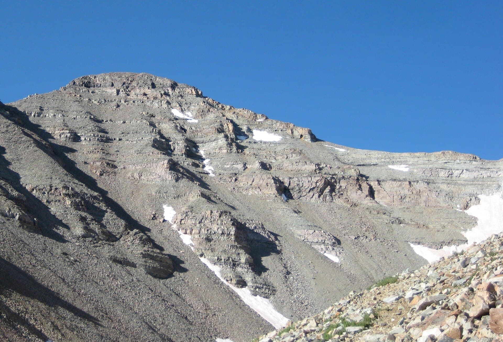
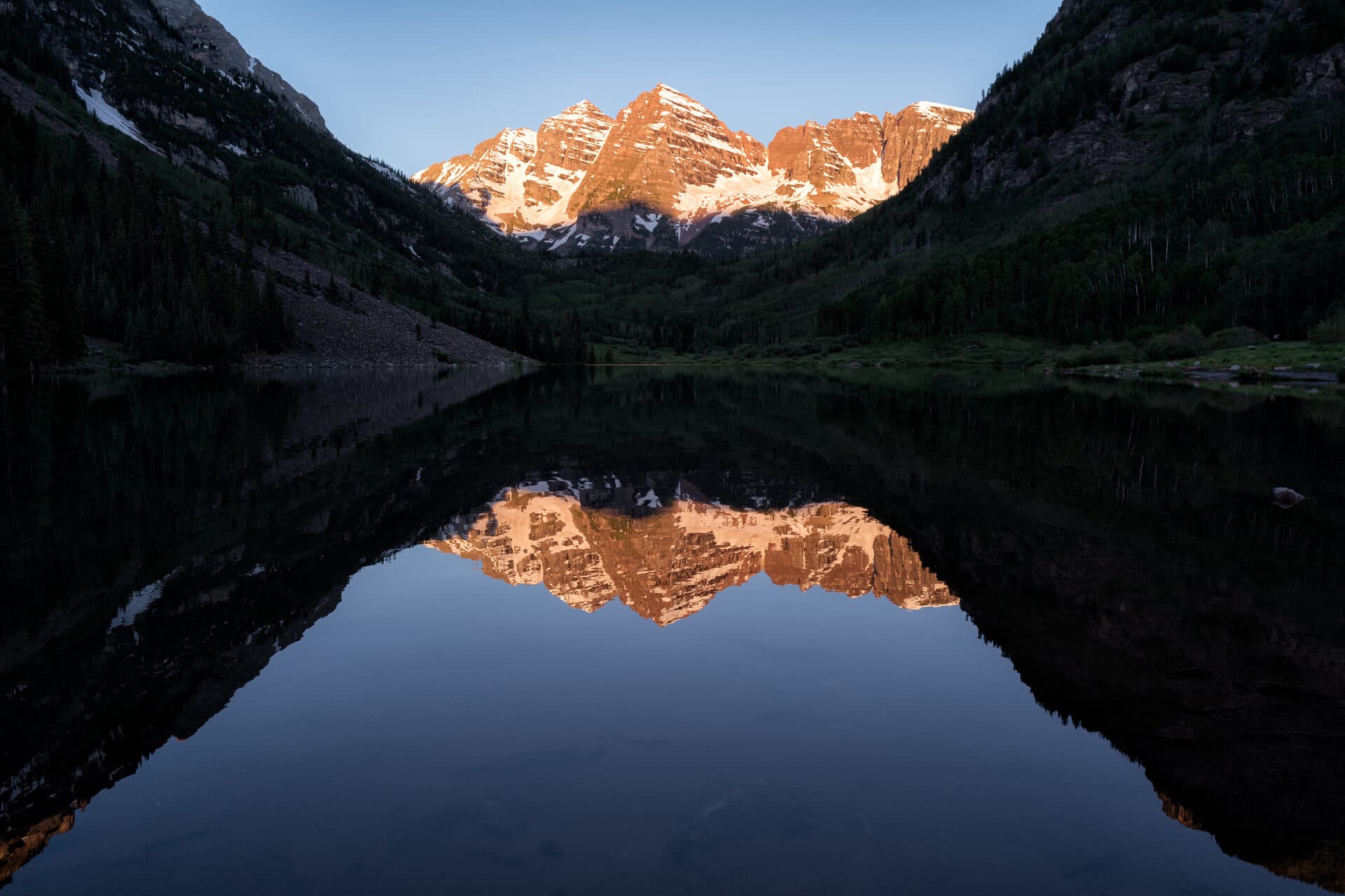
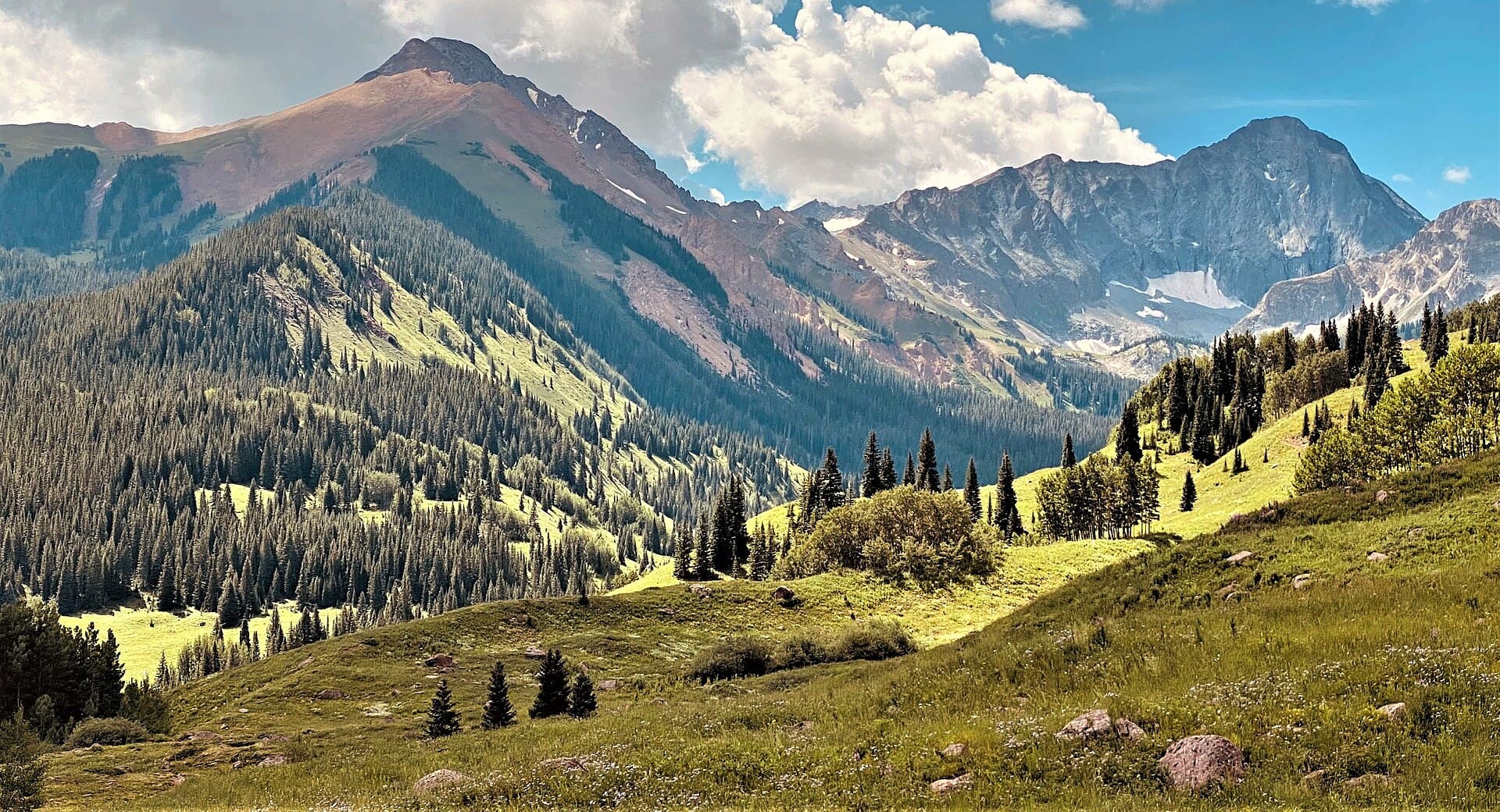
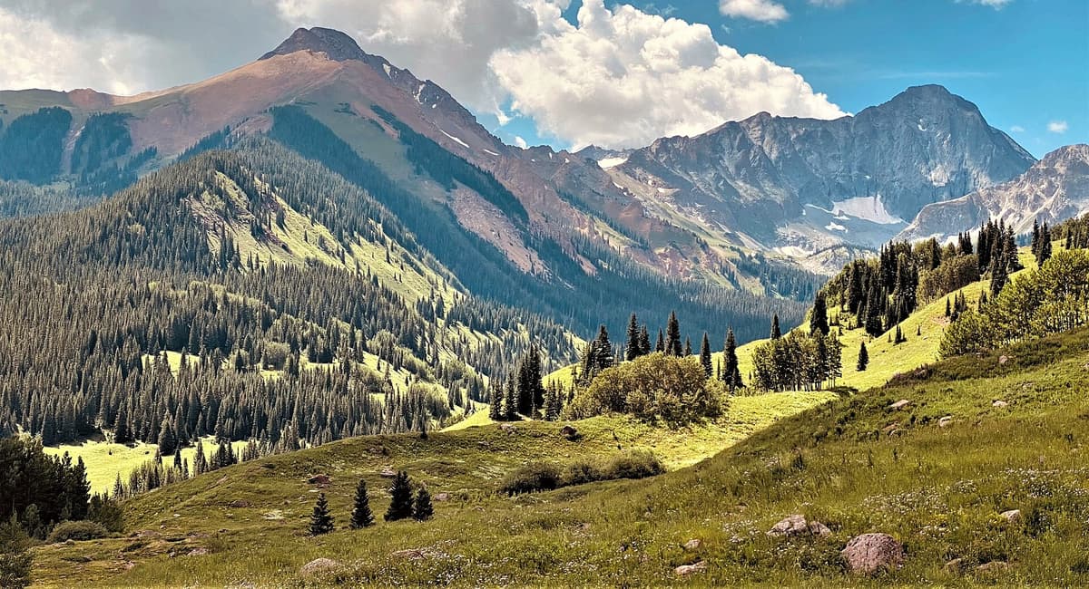
Capitol sits in the Elk Mountains, the same rugged, reddish range that holds the Maroon Bells and Snowmass Mountain. It's about 15 miles west-southwest of Aspen as the crow flies, inside the Maroon Bells-Snowmass Wilderness of the White River National Forest. Unlike the maroon mudstone of the Bells, Capitol is gray, and its northeast face rises in a clean, steep wall that photographers love and climbers respect.
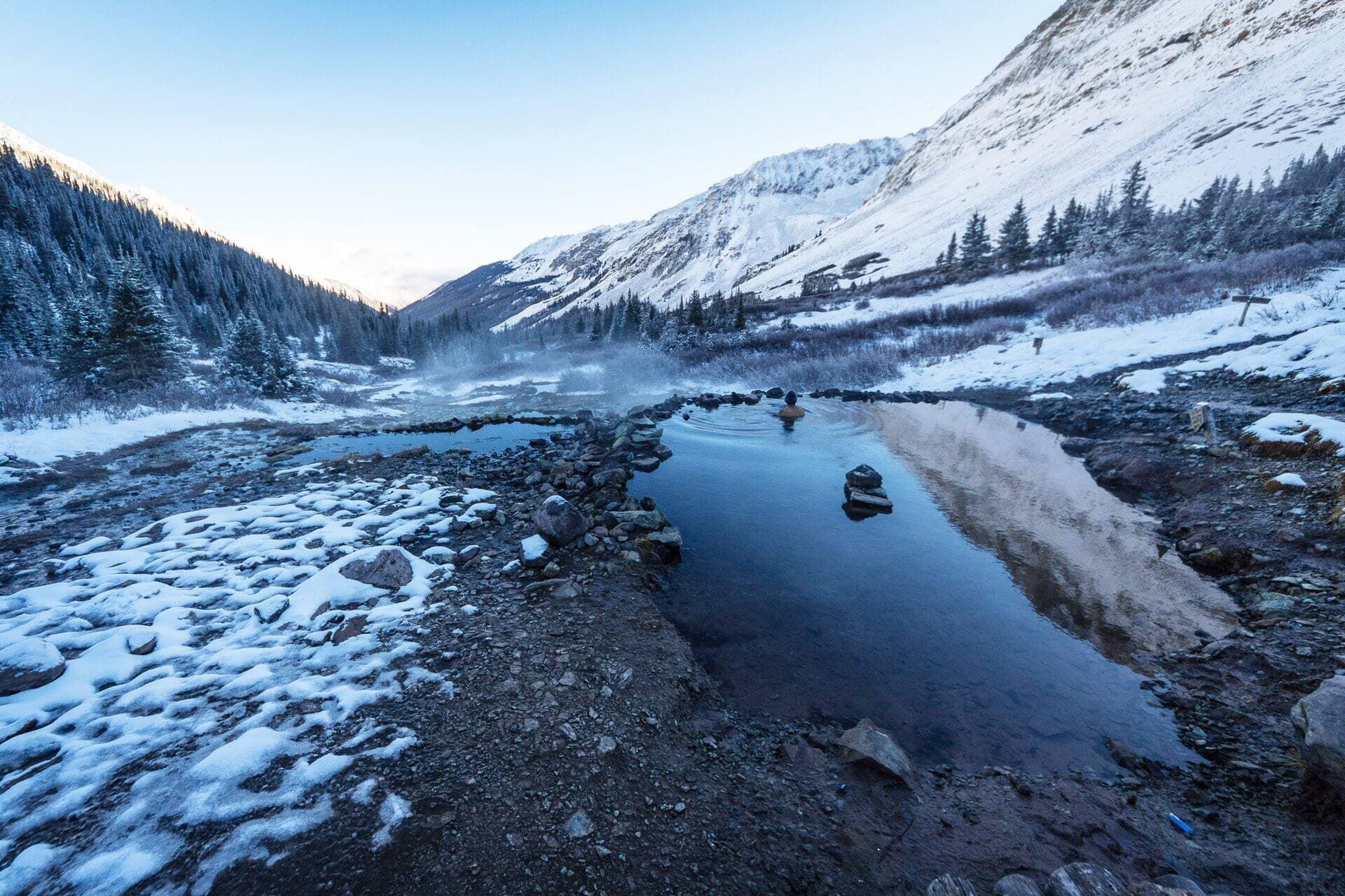
Aspen is the natural basecamp. It's a long drive from anywhere on the Front Range, so most people build a trip around it. If you want to warm up your legs and lungs first, our guide to hikes near Aspen and the 3-day Aspen hiking itinerary both cover gentler days in the same high country. The nearby Conundrum Hot Springs backpack is another way to acclimatize before you commit to Capitol.
How Hard Is Capitol Peak, Really?
Colorado's 14ers get graded on a rough Class 1 to Class 4 scale. Class 1 is a walk. Class 2 adds talus and some hands-on scrambling. Class 3 means real scrambling where a fall could hurt you. Class 4 means climbing where a fall could kill you, steep enough that some people want a rope even though most experienced scramblers go without one.
Capitol is Class 4, and among the six or so Class 4 standard routes in the state, it's the one climbers rank hardest. It combines everything that makes a 14er dangerous: sustained exposure, loose rock that breaks off in your hands, a long approach that leaves you tired before the hard part, tricky route-finding, and the Knife Edge, which has no easy way around it. Its neighbor across the valley, the Maroon Bells, earned the nickname "the Deadly Bells" for the same rotten rock. Capitol is cut from the same geology, just steeper and more committing.
For context on where Capitol fits among the state's high peaks, our Colorado 14ers guide ranks the whole list by difficulty, and the Capitol Peak stats page has the numbers at a glance.
Getting to the Capitol Creek Trailhead
From Aspen, drive northwest on Highway 82 toward Old Snowmass. Turn onto Snowmass Creek Road, then follow signs onto Capitol Creek Road. The road starts paved and turns to dirt, and the last stretch, especially the final mile, gets rough enough that a high-clearance vehicle helps a lot. Four-wheel drive is the safe call.
If you're in a low-clearance car, don't force it. There's a Bureau of Land Management parking area in a meadow about 2 miles below the upper trailhead. Park there and walk the road up. It adds miles, but it's better than tearing the bumper off your sedan on a shelf road with no cell service. Either way, read our notes on Colorado trailhead parking before you go, because these lots fill on summer weekends and the road shoulders aren't parking.
The upper trailhead, Capitol Creek Trailhead #1961, sits around 9,450 feet. One quirk to know: the main Capitol Creek Trail drops about 600 feet in the first half mile as it descends to the creek. It's a nice downhill on the way in and a nasty little climb on the way out when your pack is empty but your legs are cooked. A flatter alternate called the Ditch Trail contours across the hillside and skips that drop. Many people take the Ditch Trail in and the creek trail out, or the reverse. Both lead to the same place.
Day One: Backpacking to Capitol Lake
Almost nobody climbs Capitol in a single day from the car. It's done, but it's a huge push. The standard trip is an overnight: hike about 6.5 miles to Capitol Lake at 11,600 feet, camp, and start the summit climb before dawn.
You need an overnight permit for this. The Maroon Bells-Snowmass Wilderness runs a permit system for its overnight zones, and Capitol Lake is inside one. Reserve through recreation.gov before your trip, and expect popular summer dates to go fast. A bear canister is required for every backpacker in this wilderness, not just recommended, and rangers do check.
Camping at the lake is limited to designated sites. You can't camp within 200 feet of the water or out in the meadows, and campfires aren't allowed up there. Bring a stove. The right backpacking tent and a warm sleeping bag matter because nights at 11,600 feet drop below freezing even in July. If you haven't loaded a heavy pack in a while, our guide on how to pack a backpacking backpack will save your shoulders on the climb in.
The approach itself is beautiful and not technical. You'll walk through aspen and meadow, cross Capitol Creek, and watch the peak grow in front of you until the northeast face fills the sky above the lake. That view is when it usually sinks in what you signed up for.
Day Two: The Summit Climb
Start in the dark. You want to be off the summit and back across the exposed ridge before afternoon thunderstorms build, which in July and August can mean turning around by late morning no matter where you are.
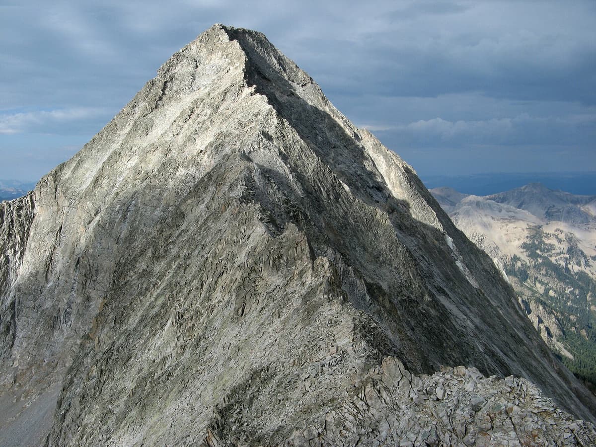
From Capitol Lake, climb the slope toward the saddle on the peak's northeast shoulder, then work up the ridge toward a prominent rock tower called K2. This false summit sits at 13,664 feet, about 1.6 miles above the lake, and plenty of tired climbers have mistaken it for the top. You can either climb straight over K2 or traverse ledges around its south side. Either way, past K2 the mountain gets serious.
Just beyond K2 you reach the Knife Edge. After that comes the crux: several hundred feet of Class 4 climbing up loose ledges, ramps, and shallow gullies to the true summit. The rock here is notoriously bad. Holds break, and rocks you knock loose can fall onto climbers below you. Route-finding is the other trap. The correct line weaves, and it's easy to climb into harder terrain or, worse, to pick a tempting-looking shortcut on the descent that cliffs out. More on that below, because it's the mistake that kills people.
The summit itself is small and the view is enormous: Snowmass, the Maroon Bells, and a sea of Elk Mountains peaks. Enjoy it briefly, then respect that you're only halfway. Most Capitol accidents happen on the way down, when people are tired and rushing weather.
The Knife Edge
The Knife Edge is the feature Capitol is famous for, and it deserves its own paragraph. It's a section of ridge crest roughly 100 to 150 feet long where the rock narrows to a blade with steep drops of many hundreds of feet on both sides. The rock is solid here, which is a small mercy, but the exposure is total. There is no way around it. To climb Capitol by the standard route, you cross it.
Most people don't walk it upright. The common technique is to straddle the crest and scoot, hands on the rock ahead, feet dangling on either side, moving one careful shift at a time. Some strong climbers walk across it. Both work. What doesn't work is freezing up in the middle, so be honest with yourself about heights and exposure before you're sitting on it with a thousand feet of air under each boot. If the idea of that makes your stomach drop reading it at a desk, that's useful information.
Why Capitol Peak Is So Deadly
In the summer of 2017, five climbers died on Capitol Peak in about six weeks. That single season roughly doubled the peak's death toll from the previous decade and a half. It forced a hard public conversation about the mountain, and the lessons from it are worth carrying up with you.
The deadliest pattern was leaving the route. Several of the fatal falls came from climbers who tried to shortcut the descent down the north side instead of retracing the standard line back over the Knife Edge. From above, a gully or face on the north can look like a faster, easier way down. It isn't. Those slopes turn into loose gravel and scree over cliffs, and at least three of the 2017 deaths involved climbers dropping into that terrain and falling, in one case about 600 feet. The rule that comes out of this is simple and strict: descend exactly the way you came up. Do not improvise a shortcut on Capitol.
Loose rock is the other killer. One climber died when a boulder he was holding pulled free and he fell with it. Wear a helmet, test every hold, and don't climb directly below or above other parties in the crux. Weather is the third. Afternoon lightning on an exposed Class 4 ridge is a nightmare you avoid by starting early and turning around on schedule.
Best Time to Climb
The window is short. Mid-July through mid-September is when the standard route is usually clear of snow and the rock is climbable without an ice axe and crampons. Earlier than that, lingering snow on the ledges and the Knife Edge turns the whole climb into a technical snow route for experienced mountaineers only.
Within that window, timing your day matters more than picking the date. The North American monsoon brings near-daily afternoon thunderstorms to the Colorado high country in July and August, so a pre-dawn start is not optional on Capitol. September often brings the most stable weather and the fewest storms, though nights get cold and the days get short. Outside summer, Capitol becomes a serious winter mountaineering objective, and nothing in our winter hiking guide qualifies you for it.
What to Bring
Beyond standard backpacking gear, a few items on Capitol aren't negotiable:
- A climbing helmet. Rockfall is the whole reason. Wear it from K2 to the summit and back.
- Grippy footwear. Many people climb Capitol in approach shoes for the sticky rubber, though sturdy hiking boots work if that's what you trust on rock.
- A bear canister, which is required, plus a backpacking tent and a 20-degree sleeping bag for the cold night at the lake.
- A GPS watch or phone app with the route downloaded offline. Good route-finding is a safety tool here, not a luxury.
- A headlamp with fresh batteries for the pre-dawn start, and trekking poles for the long approach, stowed once the scrambling starts.
Altitude is its own hazard. You'll sleep above 11,000 feet and climb past 14,000, so read up on altitude sickness and spend a night or two high before your climb.
Should You Climb Capitol Peak?
Here's the honest gut-check. Capitol should not be your first 14er, your first Class 4, or your first exposed ridge. A reasonable resume before Capitol looks like a stack of Class 3 peaks you climbed comfortably, at least a few Class 4 routes like Longs Peak or the Maroon Bells where you felt in control rather than terrified, solid experience moving on loose rock, and a partner you trust. You should be able to read terrain well enough to find the route on your own and to know when a line is wrong.
If that's you, Capitol is one of the great climbs in Colorado, a real summit that you earn every foot of. If it's not you yet, that's fine. The mountain will still be there in a few seasons, and the rest of the 14ers will make you a better, safer climber in the meantime. There's no shame in turning around at the Knife Edge, and there's a lot of shame, and worse, in pushing past your limit on the most unforgiving peak in the state.
Frequently Asked Questions
How long does it take to climb Capitol Peak?
Most people do it as a two-day trip: about 6.5 miles to Capitol Lake on day one, then a summit day of roughly 8 to 12 hours round trip from camp. Strong, acclimatized climbers occasionally do the whole thing in one very long day from the car, but that's an expert-level effort.
Why is Capitol Peak considered the hardest 14er?
It combines sustained Class 4 climbing, extreme exposure on the Knife Edge, notoriously loose rock, a long approach, and difficult route-finding with no easy escape. Five deaths in six weeks in 2017 cemented its reputation as Colorado's most dangerous standard 14er route.
Do I need a permit to climb Capitol Peak?
You need an overnight permit to camp in the Maroon Bells-Snowmass Wilderness zone that includes Capitol Lake, reserved through recreation.gov. A bear canister is required for all backpackers. Day climbers don't need the overnight permit but still self-register at the trailhead.
Can beginners climb Capitol Peak?
No. Capitol is a Class 4 mountaineering objective with deadly exposure and rockfall, not a beginner hike. Build up through easier and Class 3 peaks first. Our easiest 14ers for beginners is the right place to start.
What is the Knife Edge on Capitol Peak?
It's a narrow section of ridge crest, roughly 100 to 150 feet long, with steep drops of several hundred feet on both sides. Climbers usually straddle it and scoot across. It's the crux feature of the standard route and there's no way to avoid it.
Capitol Peak rewards patience more than any other 14er in Colorado. Earn it on smaller mountains, watch the weather like a hawk, descend the way you climbed, and it becomes the summit of a lifetime instead of a headline. When you're ready to keep building toward it, our Colorado 14ers guide maps out the peaks that get you there.
Get the Colorado 14er Packing Checklist (free PDF)
Plus a weekly note on the best Colorado trails, gear deals, and seasonal hike picks. No spam, unsubscribe anytime.
We respect your inbox. Unsubscribe anytime.