10 Best Hikes Near Aspen, Colorado (2026 Trail Guide)
Aspen sits at 7,908 feet in the Roaring Fork Valley, surrounded by four ski mountains and three federally protected wilderness areas. Within a 30-minute drive of downtown you can stand at the foot of the Maroon Bells, soak in a 102-degree hot spring at 11,200 feet, or wander an old mining ghost town in a glacial cirque. The trail network here is as good as it gets in Colorado, but it's also heavily managed because of how popular it is. Show up unprepared in summer and you'll find yourself turned away at trailheads that require reservations. Here's the rundown of the 10 best hikes near Aspen, what to expect, and how to make them happen.
What You'll Learn
- Maroon Bells Scenic Loop Trail
- Crater Lake Trail
- Cathedral Lake Trail
- American Lake Trail
- Conundrum Hot Springs Trail
- Hunter Creek Valley Trail
- Lost Man Loop
- Ute Trail
- Grottos Trail
- Electric Pass Trail
Maroon Bells Scenic Loop Trail
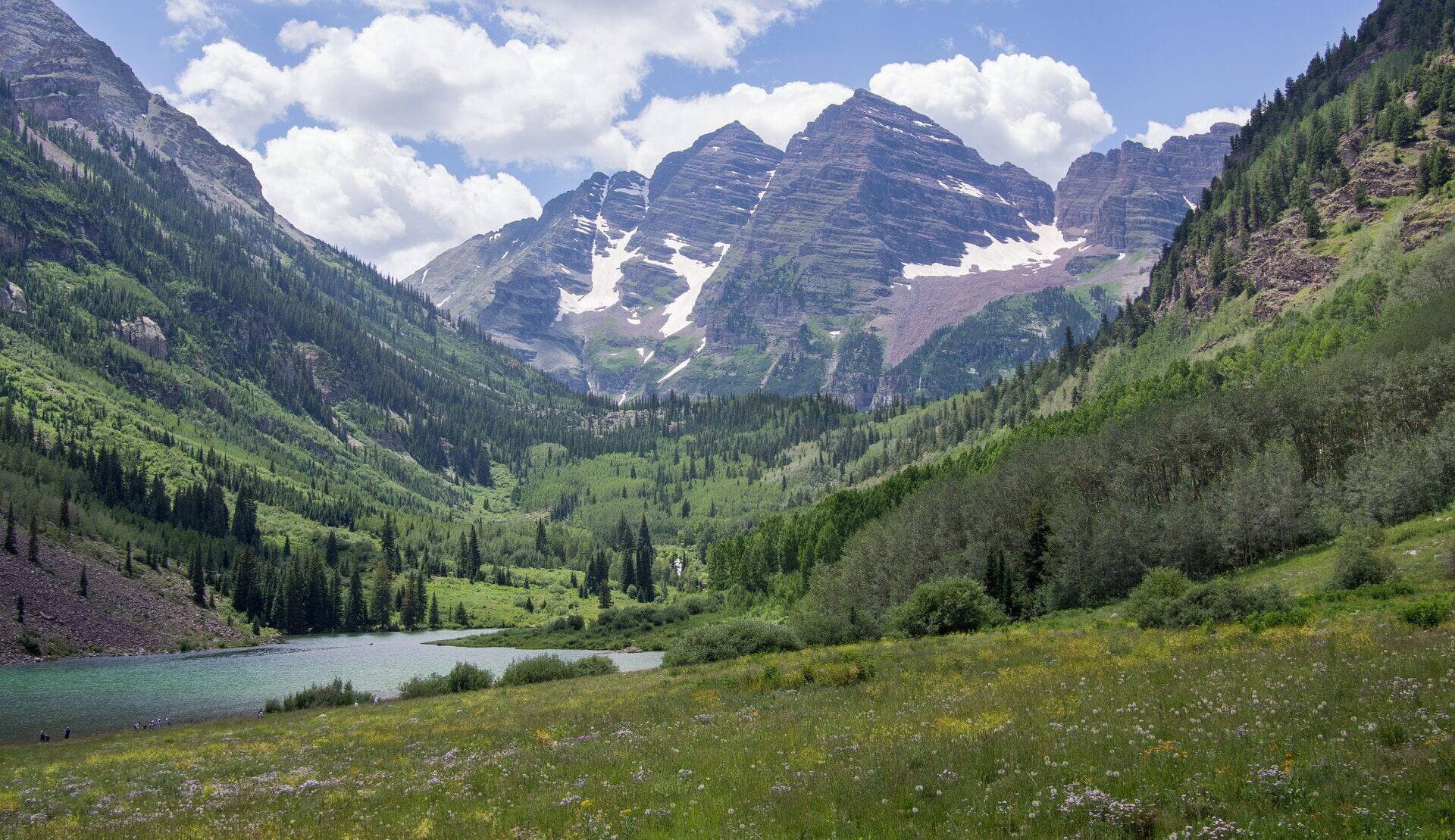
The Maroon Bells are the most photographed mountains in North America, and the Scenic Loop is the gateway hike that puts you right at their feet. The trail circles Maroon Lake at 9,580 feet, with the twin 14,000-foot peaks of Maroon Peak and North Maroon Peak reflecting in the water on calm mornings. It's flat, it's short, and it's the introduction every visitor should start with.
The catch is access. From mid-May through October, you can't drive to Maroon Lake during the day. You'll need a reserved parking spot (very limited) or a shuttle from Aspen Highlands, which you book at visitmaroonbells.com. Plan two to four weeks ahead if you want a sunrise slot. You can also walk or bike in if you're feeling ambitious.
Trail stats: 1.9-mile loop, 130 ft elevation gain, easy. Allow 1 hour.
Bring a real camera or your phone with a wide lens because the iconic shot includes the full reflection of both peaks. The lake is calmest at sunrise. By 8 AM there's usually a breeze that ripples the surface.
Crater Lake Trail
If you have time for one slightly bigger hike at the Bells, make it Crater Lake. The trail starts at Maroon Lake (same shuttle/permit system) and climbs gently into the Maroon Bells-Snowmass Wilderness. You'll gain about 580 feet over 1.8 miles each way, ending at a small alpine lake tucked directly beneath the south face of North Maroon Peak.
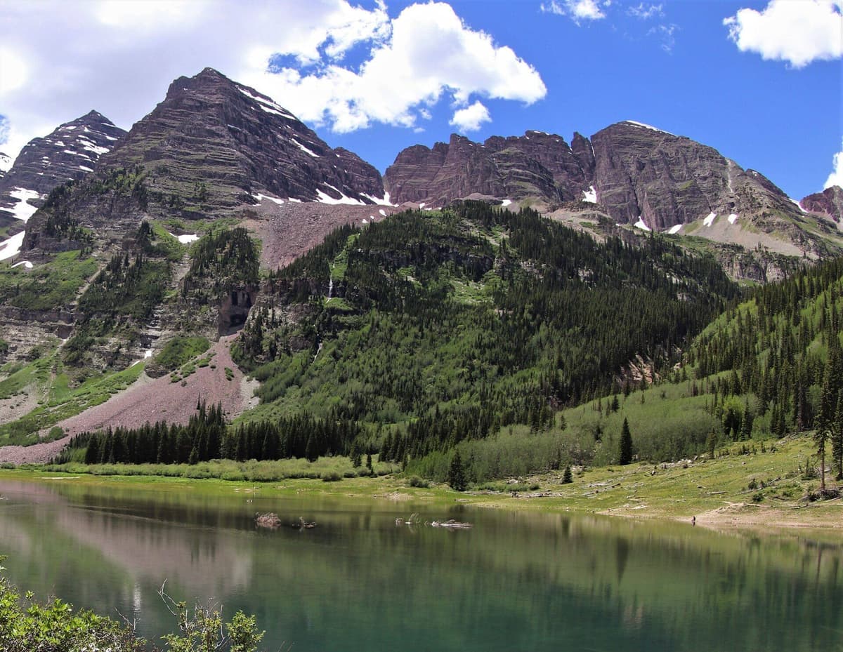
The view from Crater Lake is, frankly, better than the view from Maroon Lake. You're closer to the peaks, the crowd thins out past mile one, and the lake itself is smaller and more intimate. Wildflowers carpet the meadows from late June through August. Watch for marmots in the talus and dippers along the inlet creek.
Trail stats: 3.6 miles round-trip, 580 ft elevation gain, easy to moderate. Allow 2 to 3 hours.
You don't need trekking poles for this one, but bring them if your knees aren't great. There are a few rocky stretches where they help. Crater Lake is also the staging point for backpackers heading deeper into the Four Pass Loop, one of the most coveted backcountry routes in Colorado.
Cathedral Lake Trail
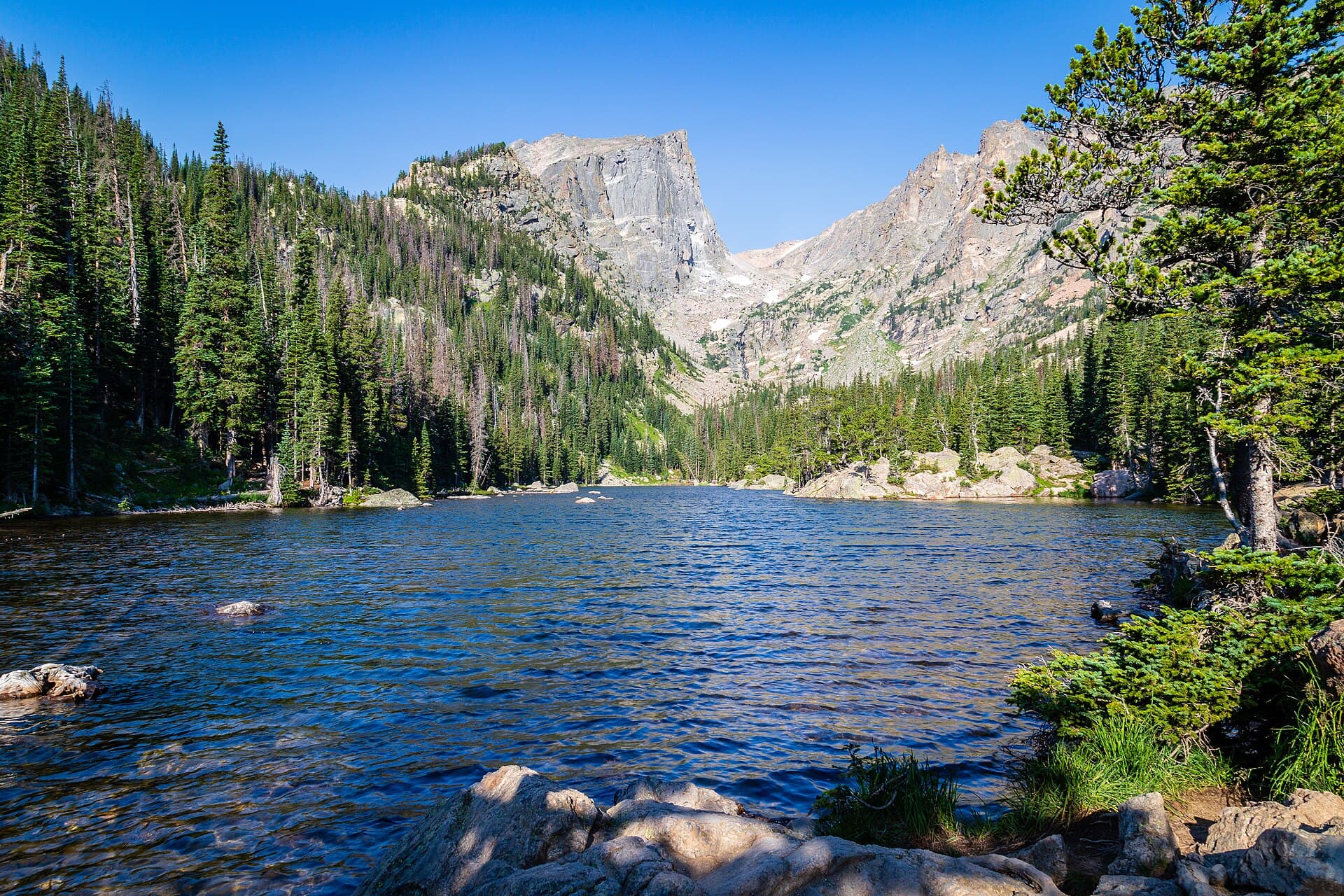
Cathedral Lake is the local favorite, and once you hike it you'll understand why. The trail leaves from the Cathedral Lake trailhead at the end of Castle Creek Road, about 12 miles south of Aspen. You'll climb 2,000 feet over 2.8 miles through aspen groves, willow flats, and a brutal series of switchbacks before topping out at a 12,000-foot lake under the spires of Cathedral Peak.
This is one of those hikes where the suffering is short and the payoff is huge. The switchbacks come in the second mile and they'll have you stopping every few minutes if you're not acclimated. Push through. The basin above opens into a wide alpine bowl that feels like a different country.
Trail stats: 5.6 miles round-trip, 2,000 ft elevation gain, strenuous. Allow 4 to 5 hours.
You'll want solid hiking boots with ankle support for the loose talus on the upper switchbacks and a packable rain jacket because afternoon storms are routine in this basin. Start by 7 AM and you'll usually be down before the thunder rolls in. If you love high alpine lakes, our guide to the best alpine lakes in Colorado covers more destinations across the state.
American Lake Trail
American Lake sits across the valley from Cathedral, accessed from the same Castle Creek Road. It's a gentler climb than Cathedral by a small margin, but the lake itself is no less beautiful. The trail winds through dense conifer forest and aspen stands before topping out at a small lake at 11,400 feet, ringed by Electric Peak and the surrounding ridgeline.
The forested approach makes this one feel less exposed than Cathedral, which is nice on hot days or when the weather looks iffy. It's a quieter trail in general, since most Aspen visitors gravitate to Cathedral or the Bells. You'll often have the lake mostly to yourself if you start early.
Trail stats: 6.6 miles round-trip, 2,000 ft elevation gain, moderate to strenuous. Allow 4 to 5 hours.
This trail is one of the better options for early summer when the higher routes still have snow. American Lake typically melts out by mid-June, about two weeks earlier than Cathedral. Pack a water filter so you can refill from the inlet stream and lighten your starting load.
Conundrum Hot Springs Trail
Conundrum is the hike that turns into a story. The trail climbs 17 miles round-trip from the Conundrum Creek trailhead near Aspen, gaining 3,200 feet to reach a series of natural hot springs at 11,200 feet. The pools sit in a remote alpine basin in the Maroon Bells-Snowmass Wilderness. It's the highest hot spring of its kind in North America that's reachable on foot.
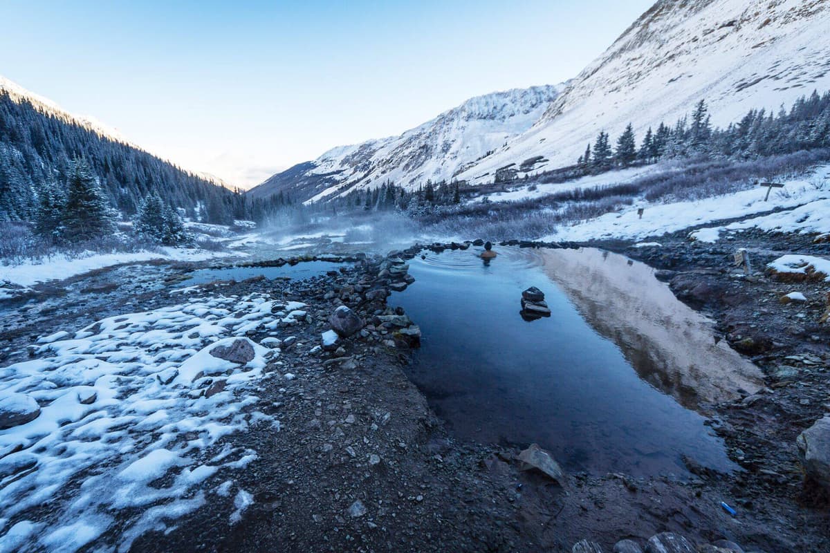
You cannot day-hike Conundrum legally. Overnight permits are required from June 1 through September 30, and they sell out within minutes of release in February on recreation.gov. There's a strict camping zone system and a hard cap on visitors per night. If you don't have a permit, don't go. Rangers do check.
Trail stats: 17.0 miles round-trip, 3,200 ft elevation gain, very strenuous. Plan 2 to 3 days.
You'll need a reliable backpacking tent, a warm sleeping bag (it freezes at 11,000 feet even in July), and a bear canister, which is required by Forest Service regulation in this drainage. For a full kit breakdown, check our best sleeping bags for backpacking in Colorado guide.
Hunter Creek Valley Trail
Hunter Creek is the rare Aspen hike you can walk to from downtown. The trail starts on the north end of town, crosses the Roaring Fork River, then climbs through aspen forest into a wide glacial valley that opens up to views of the Hunter-Smuggler Wilderness Study Area. It's a great option when you don't have a car or when you want a half-day hike without the drive.
You can make this as short or as long as you want. The lower valley is mellow and family-friendly for the first 2 miles. Past that, the trail steepens and connects to a network of routes heading toward Smuggler Mountain and the Tenth Mountain Division huts. Mountain bikers share the lower section, so stay aware on the descent.
Trail stats: 4.5 miles round-trip to the upper meadows, 1,000 ft elevation gain, moderate. Allow 2.5 to 3.5 hours.
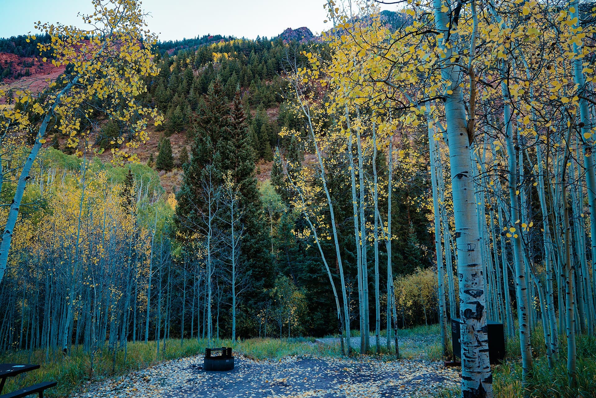
Hunter Creek is one of the first trails to clear in spring, often by early May. It's also one of the best fall hikes near Aspen when the valley fills with gold aspen leaves in late September. If you're looking for similar fall trips, our Colorado fall foliage hikes guide covers more destinations.
Lost Man Loop
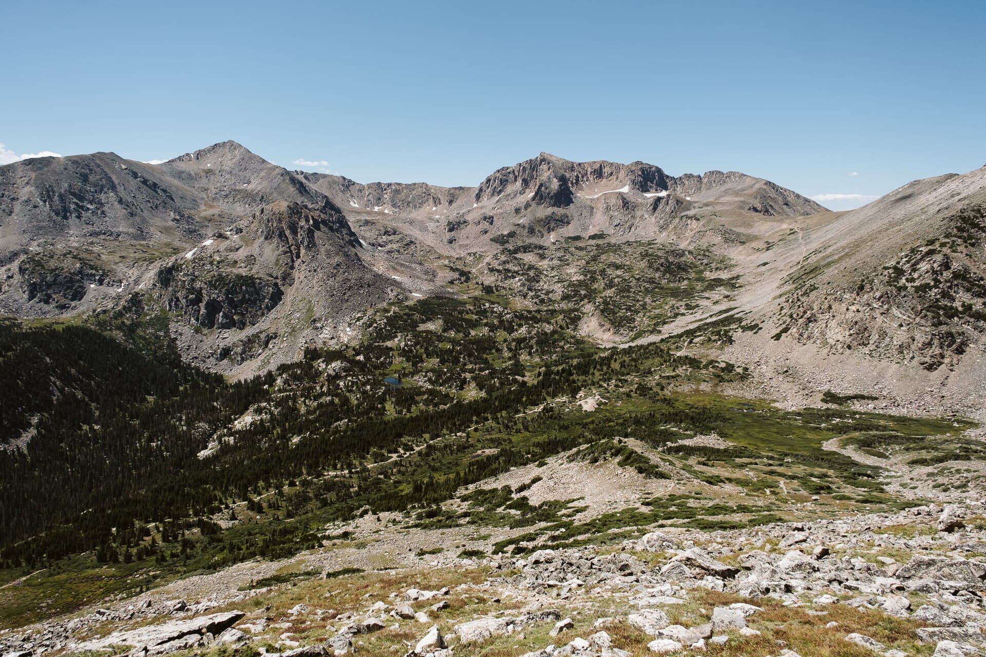
The Lost Man Loop runs along the spine of the Sawatch Range on the Independence Pass corridor, about 30 minutes east of Aspen. It's the kind of high-country hike that ruins lower-elevation hiking forever. You'll stay above 11,000 feet for most of the loop, crossing alpine tundra, three different basins, and a pass with views down both sides of the Continental Divide.
The standard loop is 8.8 miles point-to-point. You'll need a car shuttle between the upper and lower Lost Man trailheads on Highway 82, since they're four miles apart. Hitchhiking on the pass road is easy and common during summer if you don't want to leave two vehicles.
Trail stats: 8.8 miles point-to-point, 2,300 ft elevation gain, strenuous. Allow 5 to 7 hours.
Independence Pass closes for the winter (usually November through Memorial Day), so this hike is summer-only. When it's open, the trailheads sit above 10,000 feet, which means very little acclimatization and a lot of immediate effort. Drink water aggressively and don't push hard on day one. A hydration pack is the easiest way to stay on top of fluids.
Ute Trail
Ute Trail is Aspen's stairmaster. It climbs 1,640 feet in 1.7 miles up the south side of Aspen Mountain, a grade that makes it one of the steepest short hikes in the valley. Locals use it as a fitness lap. Visitors use it as an introduction to what hiking at 9,000 feet feels like when you're not yet acclimated.
The reward is a panoramic view from the Sundeck patio at 11,212 feet, where you can grab a coffee or beer at the top of the gondola and ride down for free in summer. The trail itself winds through aspen and Douglas fir with several lookout points along the way. It's well-marked and easy to follow.
Trail stats: 3.4 miles round-trip (or 1.7 miles one-way with gondola down), 1,640 ft elevation gain, strenuous. Allow 1.5 to 3 hours.
This is the hike to do when you want a workout without driving. The trailhead is a 10-minute walk from downtown Aspen. Bring a lightweight daypack and plenty of water. The climb is relentless and there's no shade for the middle stretch.
Grottos Trail
The Grottos is the easy hike everyone forgets to recommend. It's a 1-mile loop along the Roaring Fork River about 10 miles east of Aspen on Highway 82, with a small set of granite caves, ice walls (year-round in some shaded sections), and a series of cascades and pools carved into the bedrock. It's flat, accessible, and good for kids.
The trail loops through a slot of granite where the Roaring Fork has carved deep channels and round potholes. Late spring brings the highest water, when the river roars through the narrow chutes. By August the flow drops and you can scramble down to the rocks for a swim if you're brave (the water stays glacial year-round).
Trail stats: 1.0-mile loop, 50 ft elevation gain, easy. Allow 45 minutes.
This is a perfect after-lunch stop on a drive over Independence Pass, or a rainy-day option when the higher trails are socked in. Pack good water shoes if you plan to wade into the pools. The granite gets slick.
Electric Pass Trail
Electric Pass tops out at 13,500 feet, the highest named pass in Colorado you can hike to without ropes. The trail leaves from the Cathedral Lake trailhead, branches off after the lake, and climbs another 2.5 miles up rocky switchbacks to the pass. The view from the top stretches across the Elk Range from the Maroon Bells to Castle Peak to the Conundrum drainage.
The pass is named for the frequent lightning strikes that hit it during summer storms. Get up there early. Plan to be off the pass by 11 AM at the latest, and don't even attempt it if the morning forecast shows storms before 1 PM. This is no joke. Several hikers are struck on Colorado passes every summer.
Trail stats: 10.0 miles round-trip, 3,800 ft elevation gain, very strenuous. Allow 6 to 8 hours.
You'll need a quality headlamp for the alpine start. Most hikers leave the trailhead by 5 AM. Above the lake, the trail gets faint and rocky. A GPS watch or offline map is smart insurance. If you're working up to bigger peaks, our Colorado 14ers beginner guide covers what to know before you start collecting summits.
Gear You'll Want for Aspen Hiking
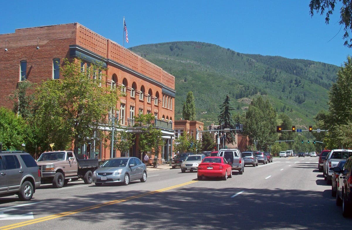
Aspen's trails climb from 8,000 feet to 13,500 feet, so the temperature swing in a single hike can hit 40 degrees. Add afternoon thunderstorms from June through September, and you need a kit that handles everything from warm sunshine to cold rain. Here's what to bring:
- Hiking boots with ankle support: Rocky talus and loose scree are common above 11,000 feet.
- Trekking poles: Make a real difference on steep descents like Cathedral and Electric Pass.
- Packable rain shell: Daily thunderstorms hit from mid-June through August.
- Insulating mid-layer: Mornings start in the 40s above 10,000 feet, even in July.
- Water filter or purifier: Plenty of streams to refill from. Don't drink unfiltered.
- High-SPF sunscreen and a wide-brim hat: UV at 11,000 feet is no joke.
- Bear canister: Required for overnight trips in the Maroon Bells-Snowmass Wilderness.
For more on cold-weather camp kits, check our best sleeping bags for backpacking in Colorado review.
Getting to Aspen
Aspen is in the Roaring Fork Valley about 200 miles west of Denver. The drive takes 3.5 to 4 hours via I-70 west to Glenwood Springs, then Highway 82 south. From late spring through fall, you can also drive the spectacular Independence Pass route from Twin Lakes, which knocks an hour off the trip from Buena Vista or Leadville but isn't an option in winter.
Aspen has its own regional airport (ASE) with direct flights from Denver, Dallas, Phoenix, and Chicago in summer. Fares run higher than driving in for most travelers. The free RFTA bus system runs along Highway 82 between Aspen, Snowmass, Basalt, and Glenwood Springs, and most Aspen trailheads are accessible by free shuttle or short walk from downtown.
Once you're in town, you don't strictly need a car. Cathedral Lake and American Lake require driving to the trailhead, as do the Independence Pass routes (Lost Man, Grottos). For the Bells, you must take the shuttle from Aspen Highlands. For everything else, you can walk or use the RFTA.
Best Time to Hike Near Aspen
The Aspen hiking season runs from late May through October, but the practical window varies wildly by trail:
- Late May to mid-June: Lower trails like Hunter Creek, Grottos, and Ute Trail are clear. Higher trails still have snow.
- Late June to August: Peak season. Everything is open, wildflowers are in full bloom, but afternoon storms are daily and crowds are heavy at the Bells.
- September: The sweet spot. Cool mornings, dry afternoons, fewer crowds, and aspen leaves turning gold by mid-month.
- October: Beautiful but unpredictable. Snowstorms can hit any time, and Independence Pass usually closes by month's end.
For permit-required trails (Maroon Bells parking, Conundrum overnight), book at visitmaroonbells.com for the Bells and Recreation.gov for Conundrum as early as possible. Maroon Bells parking opens 60 days in advance. Conundrum permits drop in late February and sell out fast.
Frequently Asked Questions
Do you need a permit to hike near Aspen?
Most Aspen day hikes don't require permits. The Maroon Bells require either a reserved parking slot or a shuttle ticket from Aspen Highlands (both booked at visitmaroonbells.com). Overnight stays at Conundrum Hot Springs require a permit from June 1 through September 30. All other hikes are open access.
What is the most popular hike near Aspen?
The Maroon Bells Scenic Loop is the most popular hike near Aspen, drawing over 300,000 visitors a year. It's a 1.6-mile loop around Maroon Lake with the iconic view of the twin 14,000-foot peaks. Crater Lake, just two miles further, is the next most popular trail.
Are there easy hikes near Aspen for families?
Yes. The Maroon Bells Scenic Loop, Grottos Trail, and the lower portion of Hunter Creek are all easy, family-friendly hikes near Aspen. All three are under 2 miles round trip with minimal elevation gain. The Rio Grande Trail along the Roaring Fork is paved and stroller-friendly.
How long does it take to hike to Conundrum Hot Springs?
Conundrum Hot Springs is a 17-mile round trip with 3,200 feet of elevation gain. Most hikers take 6 to 8 hours each way and break the trip into two or three days. Day-hiking is not permitted. You must have an overnight permit from June through September.
Can you hike the Maroon Bells without a permit?
You don't need a hiking permit for the Maroon Bells, but you do need either a parking reservation or a shuttle ticket to access the trailheads from 8 AM to 5 PM, mid-May through late October. Both are booked at visitmaroonbells.com. Walk-up access is allowed before 8 AM and after 5 PM if you can find parking nearby.
Final Thoughts
Aspen punches above its weight for a town of 7,000 people. You've got iconic 14er reflections, a permit-only hot spring at 11,000 feet, and a 13,500-foot pass you can summit in a long day. The catch is planning. The biggest hikes here require reservations, and snow lingers into July on the upper routes. Pick your trail to match the season and your fitness, and book the Bells slots early.
For more Colorado trail inspiration, check out our guides to the best hikes near Telluride and the best alpine lakes in Colorado.
Get the Colorado 14er Packing Checklist (free PDF)
Plus a weekly note on the best Colorado trails, gear deals, and seasonal hike picks. No spam, unsubscribe anytime.
We respect your inbox. Unsubscribe anytime.