Best Hikes Near Silverton, Colorado
Silverton is a former mining town at 9,318 feet in the deep San Juans, with no traffic light, no fast food, and some of the most remote alpine hiking in Colorado.
Ice Lake Basin
A spectacular hike to a pristine turquoise alpine lake surrounded by colorful peaks and abundant wildflowers. One of Colorado's most beautiful destinations.
Highland Mary Lakes
A scenic hike through historic mining territory to a series of alpine lakes with dramatic views of the surrounding San Juan peaks.
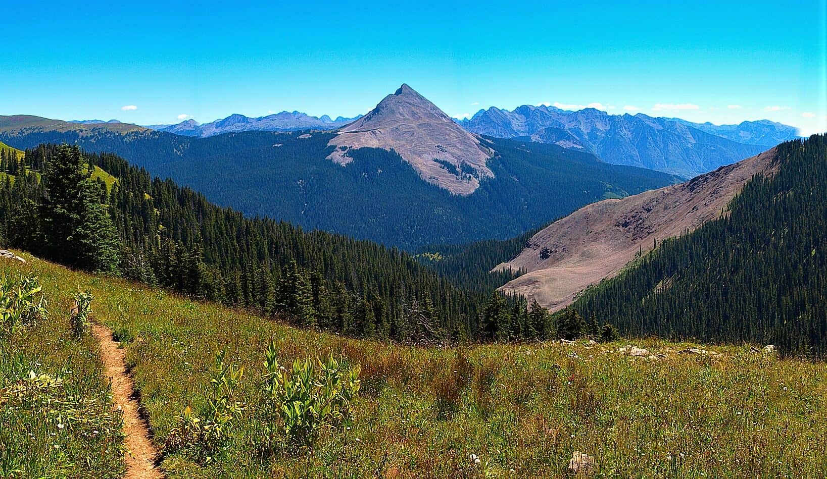
Engineer Mountain Trail
Steep climb from Coal Bank Pass on Highway 550 to the summit of Engineer Mountain. Wildflowers in July, distinctive layered rock formations near the top, and full San Juan panorama from the summit.
Lime Creek Trail
Easy hike from Old Lime Creek Road through the historic Lime Creek Burn area. Aspen regrowth in the burn zone, with bright fall colors. Lower difficulty than typical Silverton-area trails.
Stony Pass Trail
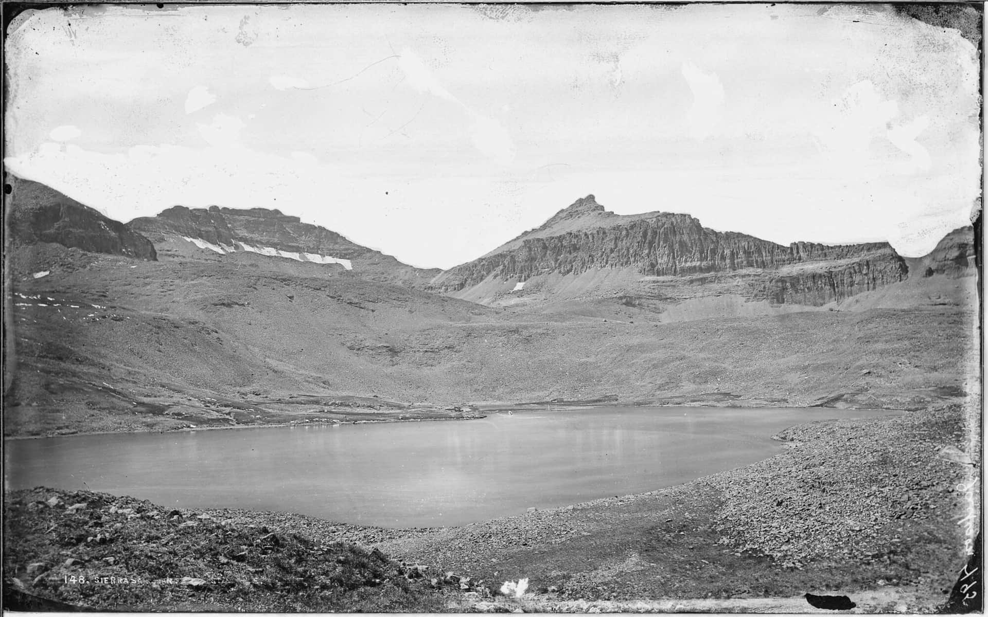
Alpine pass on the Continental Divide above Silverton. Access via 4WD road from Silverton or by hiking the lower section. The pass marks the divide between Rio Grande and Animas drainages.
Andrews Lake Trail
Short roadside loop around an alpine lake just off Highway 550 (the Million Dollar Highway) at Molas Pass. Excellent reflections of the surrounding peaks on calm mornings. Connects to the longer Crater Lake Trail for hikers wanting more.
Hiking in Silverton: what to know
Silverton is half the size of Telluride and twice as hard to reach. The town sits on the Million Dollar Highway between Ouray and Durango, surrounded by 13,000-foot peaks in every direction. The hiking here ranges from short waterfall walks to multi-day Continental Divide traverses, with very little in between.
Ice Lake Basin is the headline destination, and it's earned the attention. The 7-mile round trip with 2,400 feet of gain from South Mineral Campground climbs through wildflower meadows to a hanging basin filled with the most aggressively turquoise lakes in Colorado. The lake color comes from glacial flour suspended in the meltwater. Parking at the trailhead fills by 7 AM in summer. Use Forest Road 815 to reach it; passenger cars can make it in dry conditions.
The Ice Lake Basin trail has been heavily impacted by overuse in recent years. The trail crews ask hikers to stay on trail strictly, pack out all waste including toilet paper, and skip the upper basin if running late on a thunderstorm-risk afternoon.
Continental Divide Trail sections accessible from Silverton (via Stony Pass, 12,588 feet) provide some of the most remote ridge walking in Colorado. The road up Stony Pass is high-clearance 4WD only.
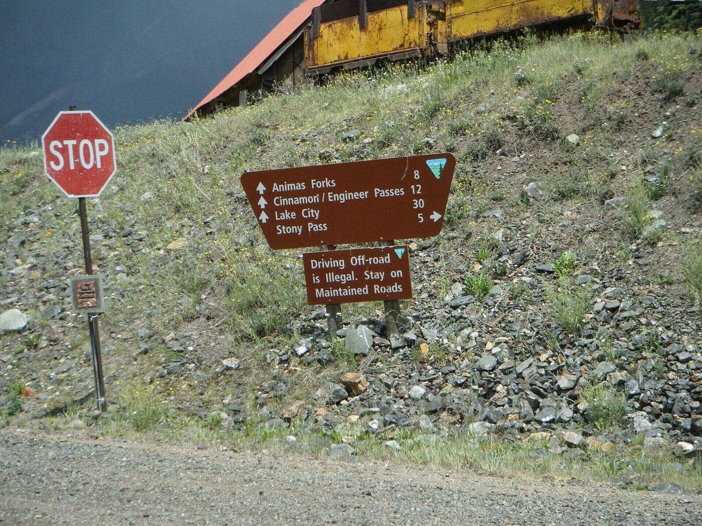
Animas Forks is a ghost town at 11,200 feet, 12 miles north of Silverton on a dirt road. Hiking from Animas Forks accesses Cinnamon Pass, Engineer Pass, and the upper Animas River basin. The famous Alpine Loop scenic byway connects Silverton with Lake City through this terrain.
Highland Mary Lakes (8 miles round trip, 1,800 feet of gain) is the harder local lake hike: a chain of high alpine lakes accessed from the Cunningham Gulch Trailhead south of town.
For shorter days, Molas Lake (just south of town on US 550) has shoreline trails and a paid campground with good acclimatization camping at 10,600 feet.
Silverton's altitude is unforgiving. The town itself is higher than the summit of most ski resorts. Sleep here for at least two nights before attempting any 14ers in the area. Read our altitude sickness guide and consider our Durango trail guide for additional access information.
14ers Near Silverton
4 Colorado 14ers (peaks over 14,000 ft) have their trailheads near Silverton.
Mount Eolus
San Juan Range
Sunlight Peak
San Juan Range
Windom Peak
San Juan Range
North Eolus
San Juan Range