Best Hikes Near Littleton, Colorado
Littleton sits where south Denver runs into the foothills, with the red rock fins of Roxborough State Park, the Colorado Trail's first miles in Waterton Canyon, and the Rampart Range fire lookout all inside a 40-minute drive.
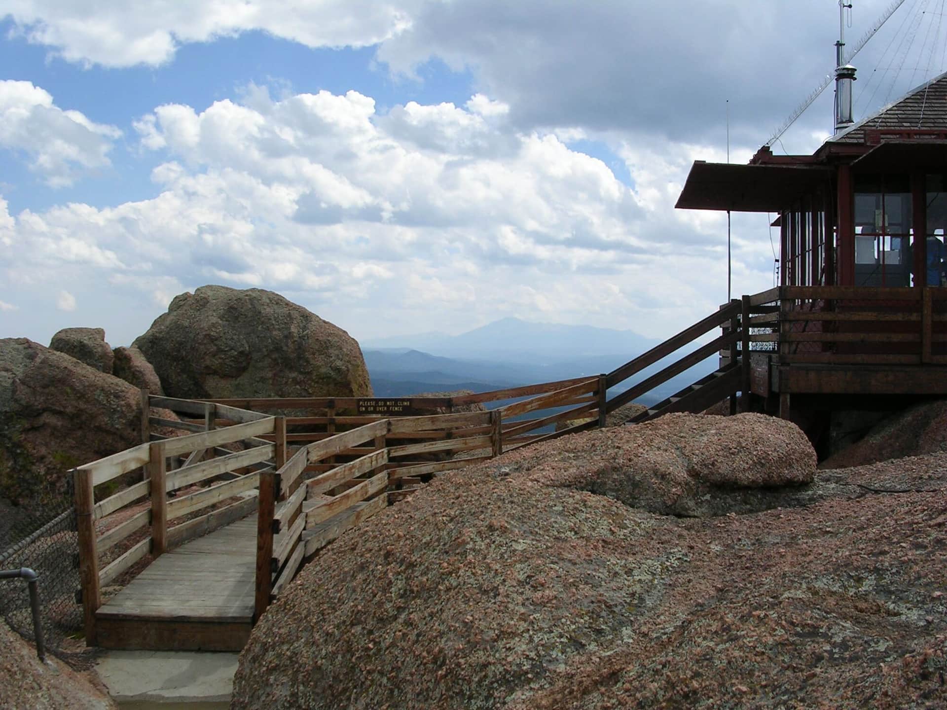
Devil's Head Lookout
A historic fire lookout tower hike through ponderosa pine forest with 360-degree views from the restored 1919 fire tower at the summit.
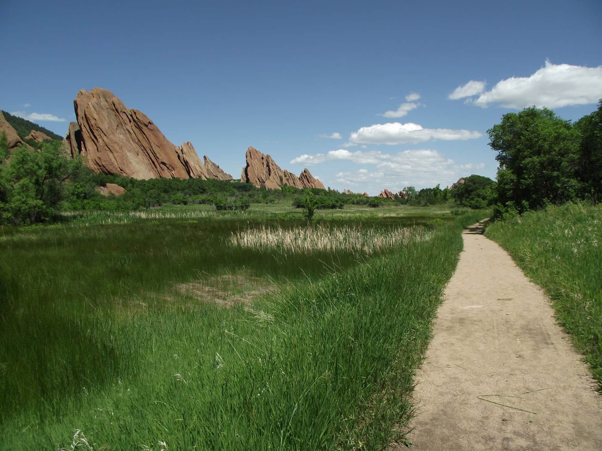
Roxborough State Park Fountain Valley Trail
A scenic loop through dramatic red rock formations and native grasslands with views of the distinctive hogback ridges and Front Range foothills.
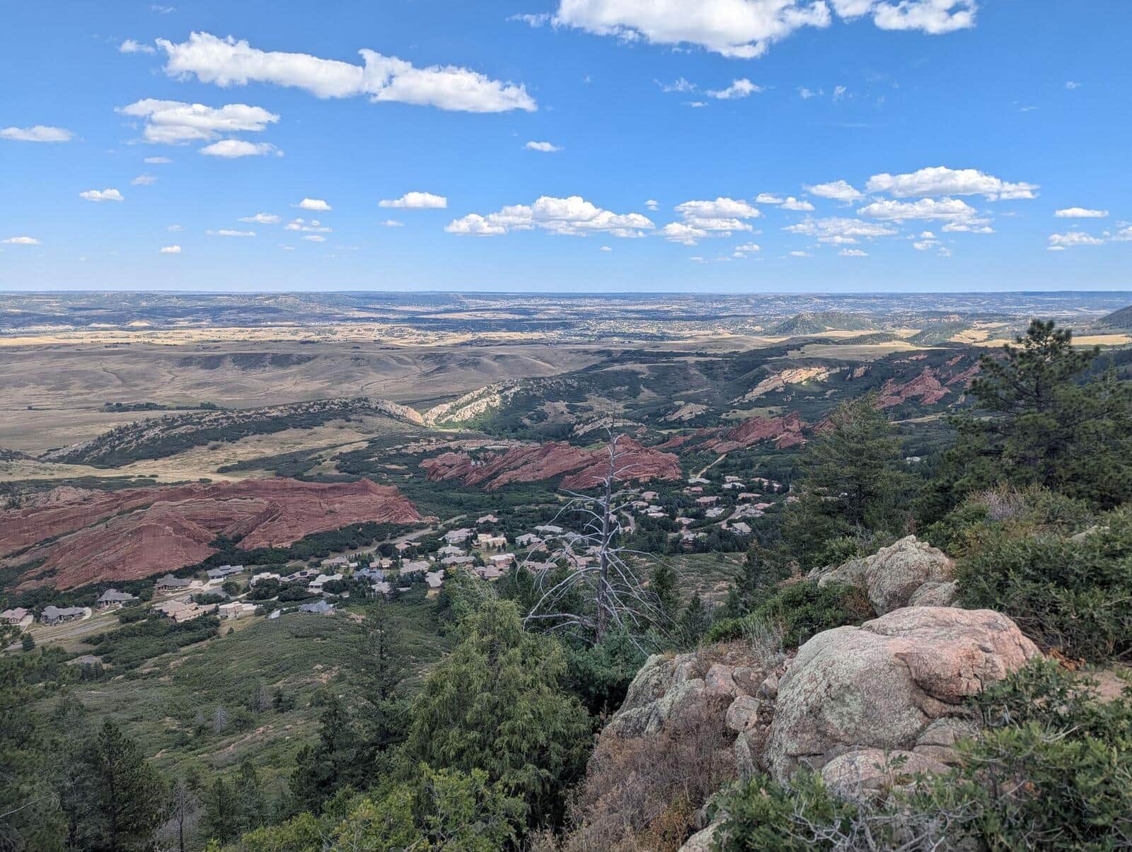
Carpenter Peak Trail
Steep climb to the highest summit in Roxborough State Park. Sandstone red rock formations on the lower half, then a forested climb to a 7,205-foot summit with views back to Denver.
Hiking in Littleton: what to know
Roxborough State Park is the standout. Its tilted red sandstone slabs are the same formation as Garden of the Gods and Red Rocks, with a fraction of the crowd. The Fountain Valley Trail is an easy 2.3-mile loop through the rocks, and Carpenter Peak climbs 6.4 miles round trip to the park's high point with a view back over the whole Denver basin. A Colorado State Parks pass is required, the park closes at 8 PM in summer and earlier in winter, and dogs and bikes are not allowed on any trail, which is part of why it stays quiet.
Devil's Head Lookout is the other classic: a 2.8-mile round trip up Rampart Range Road south of Sedalia to a staffed fire lookout tower with a 360-degree view from the Front Range to Pikes Peak. The road is gravel and closes with the first heavy snow, closing by December 1 and reopening around April 1.
Waterton Canyon, at the south edge of Littleton, is where the 486-mile Colorado Trail begins. The first 6.5 miles follow a closed service road along the South Platte to Strontia Springs Dam, flat enough for strollers, with a resident bighorn sheep herd and no dogs allowed. Deer Creek Canyon Park and Chatfield State Park fill out the local options.
Everything here is between 5,500 and 7,200 feet and hikeable most of the year; summer afternoons are hot on the open slopes, so go early. Littleton has every service, and the light rail reaches downtown from Mineral Station.