Best Hikes Near Glenwood Springs, Colorado
Glenwood Springs sits at 5,761 feet at the confluence of the Roaring Fork and Colorado rivers, with hot springs, Glenwood Canyon, and the Flat Tops Wilderness all within reach of downtown.
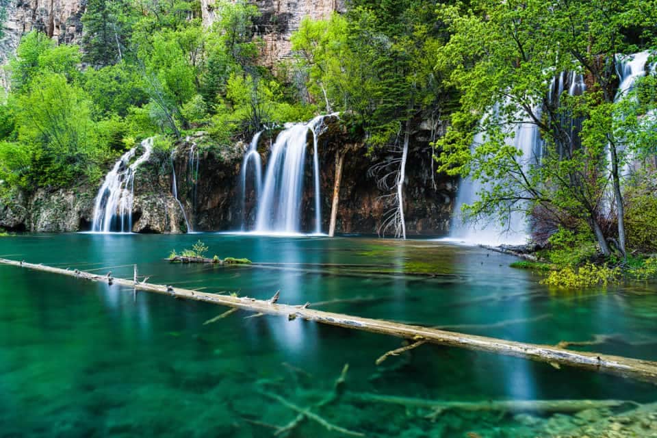
Hanging Lake Trail
Colorado's most photographed lake features turquoise waters and a spectacular waterfall. Reservations required year-round due to its popularity and fragile ecosystem.
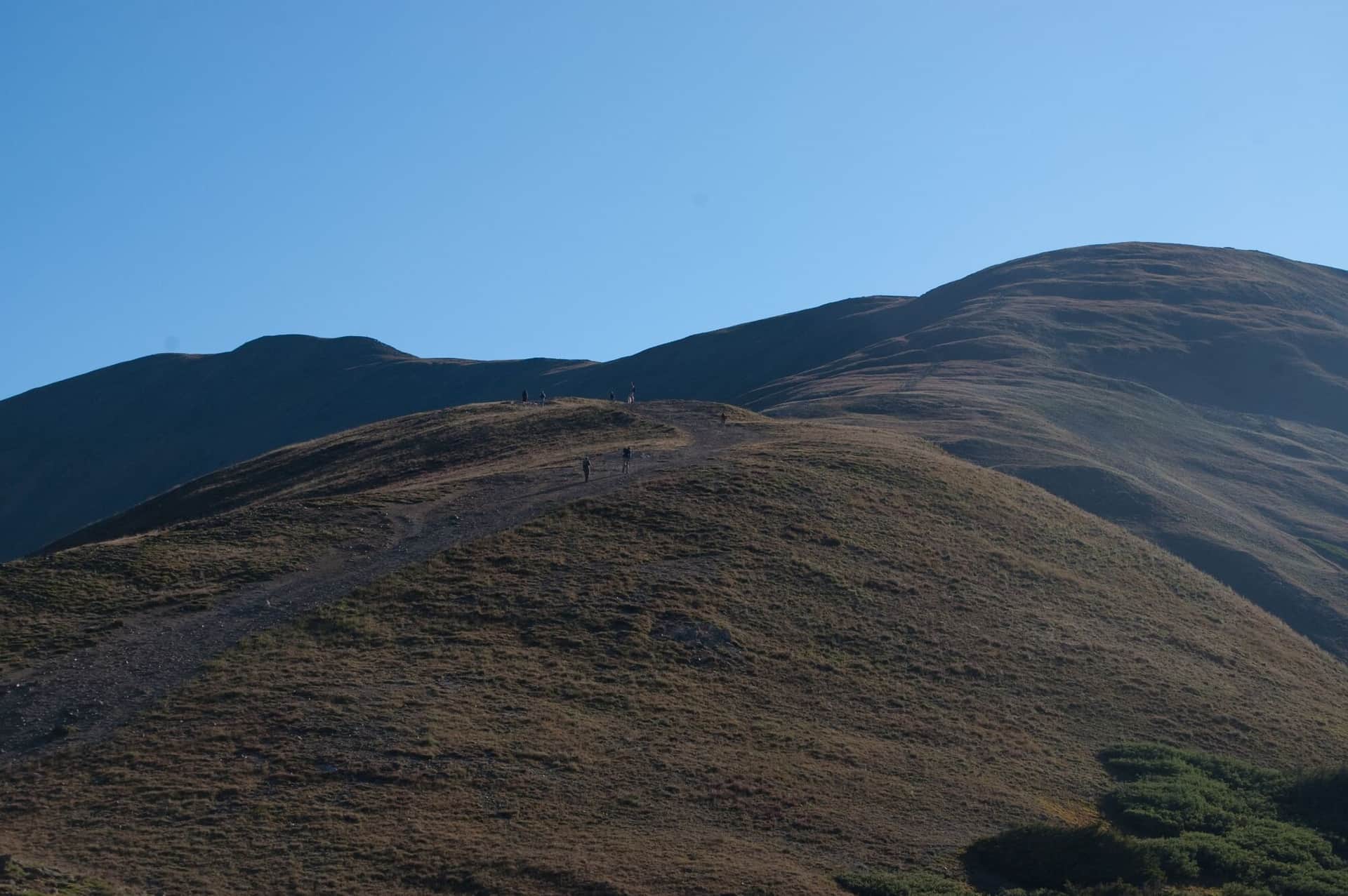
Grizzly Creek Trail
Closed beyond the first 0.3 mile as of September 2026 under a Forest Service order while fire and flood damage is repaired. Follows Grizzly Creek up Glenwood Canyon. Wildflowers, beaver ponds, and a quiet alternative to Hanging Lake. Check the White River National Forest alerts page before going.
Boy Scout Trail
Local favorite uphill grind that ends at a viewpoint over Glenwood Springs and the confluence of the Colorado and Roaring Fork. Steep but short.
Hiking in Glenwood Springs: what to know
Glenwood is best known for the hot springs, the canyon, and Hanging Lake. The hiking here divides between the headline Hanging Lake Trail (heavily regulated), the trails up the Roaring Fork Valley toward Aspen, and the bigger wilderness destinations in the Flat Tops north of town.
Hanging Lake is the iconic local hike: 1.2 miles to a travertine-rim lake suspended on the cliff face above Glenwood Canyon. Access requires a permit bought at hanginglake.com ($12 per person in summer, $10 in winter). Permits are limited to about 600 hikers per day in summer and they fill 1-2 weeks ahead. No dogs, no swimming, no leaving the boardwalk. The trail itself is steep and rocky; not a flat walk despite the short distance.
The Spouting Rock detour just past the lake adds 5 minutes and is worth doing. The water shoots out of a hole in the cliff face just above the lake.
Doc Holliday's grave is up a 0.5-mile dirt path from the Linwood Cemetery parking lot. Free, year-round, takes 30 minutes including the walk up. The dentist gunslinger died in Glenwood in 1887.
Grizzly Creek Trail (Glenwood Canyon) is the quieter canyon hike next to Hanging Lake, but as of September 2026 it is closed 0.3 mile above the trailhead under a Forest Service order while the trail and its bridges are rebuilt after the 2020 fire and 2021 floods. When it reopens it is about 7 miles round trip up a side creek from I-70 with no permit required; check the White River National Forest alerts page first.
Storm King Memorial Trail commemorates the 14 firefighters who died in the 1994 South Canyon Fire. The 4-mile round trip is steep and exposed but historically significant. Trailhead is 7 miles west of town off I-70.
Mount Sopris dominates the southern skyline from town. The standard route from the Thomas Lakes Trailhead is 12 miles round trip with 4,200 feet of gain to a 12,953-foot summit. Long day with a final scramble.
The Flat Tops Wilderness north of town has the area's best backcountry. Trailheads at Sweetwater Lake and along the Flat Tops Trail Scenic Byway access multi-day routes.
Glenwood weather is mild compared to the high mountain towns. The canyon trails stay accessible most of winter with microspikes. Hanging Lake permits are available year-round but the trail ices badly in winter.