St. Vrain Mountain Trail: A Quiet 12er Hike Above Allenspark (2026)
The St. Vrain Mountain Trail leaves a small trailhead above Allenspark and climbs about nine miles round trip to a broad 12,162-foot summit that most Colorado hikers have never stood on. It gains roughly 3,300 feet, tops out on open tundra between two wilderness areas, and hands you a straight-on view of Longs Peak, Mount Meeker, and the whole Wild Basin without the crowds you'd fight one drainage north. It's a long half-day, not a stroll, but there's no scrambling and no exposure to speak of.
That's the pitch here. Longs Peak and Bear Lake soak up the traffic on the east side of Rocky Mountain National Park, and meanwhile this quiet ridge just south of the park boundary sits mostly empty on a summer weekday. Here's where the trailhead is, how the road treats a normal car, what the climb feels like section by section, the one rule that trips up dog owners, and how to time it so an afternoon storm doesn't catch you up high.
What You'll Learn
- Quick stats
- Where St. Vrain Mountain is and why it's worth it
- Getting to the trailhead
- The hike, section by section
- The view from the top
- The national park catch (dogs and rules)
- Best time to hike St. Vrain Mountain
- What to bring and how to stay safe
- Frequently Asked Questions
Quick Stats
| Detail | Info |
|---|---|
| Summit | St. Vrain Mountain, 12,162 ft |
| Trailhead | Saint Vrain Mountain Trailhead, ~8,900 ft |
| Trail number | Saint Vrain Mountain Trail #915 |
| Distance | ~9 mi round trip (about 8.7 to 9.2 mi) |
| Elevation gain | ~3,300 ft |
| Difficulty | Hard by distance and altitude; Class 2, no scrambling |
| Time | 5 to 7 hours |
| Wilderness | Indian Peaks Wilderness; briefly into Rocky Mountain National Park |
| Nearest town | Allenspark |
| Parking | About 12 vehicles, no restrooms, no water |
| Dogs | Leashed in the wilderness; not allowed in the park section |
| Best months | Late June through September |
Where St. Vrain Mountain Is and Why It's Worth It
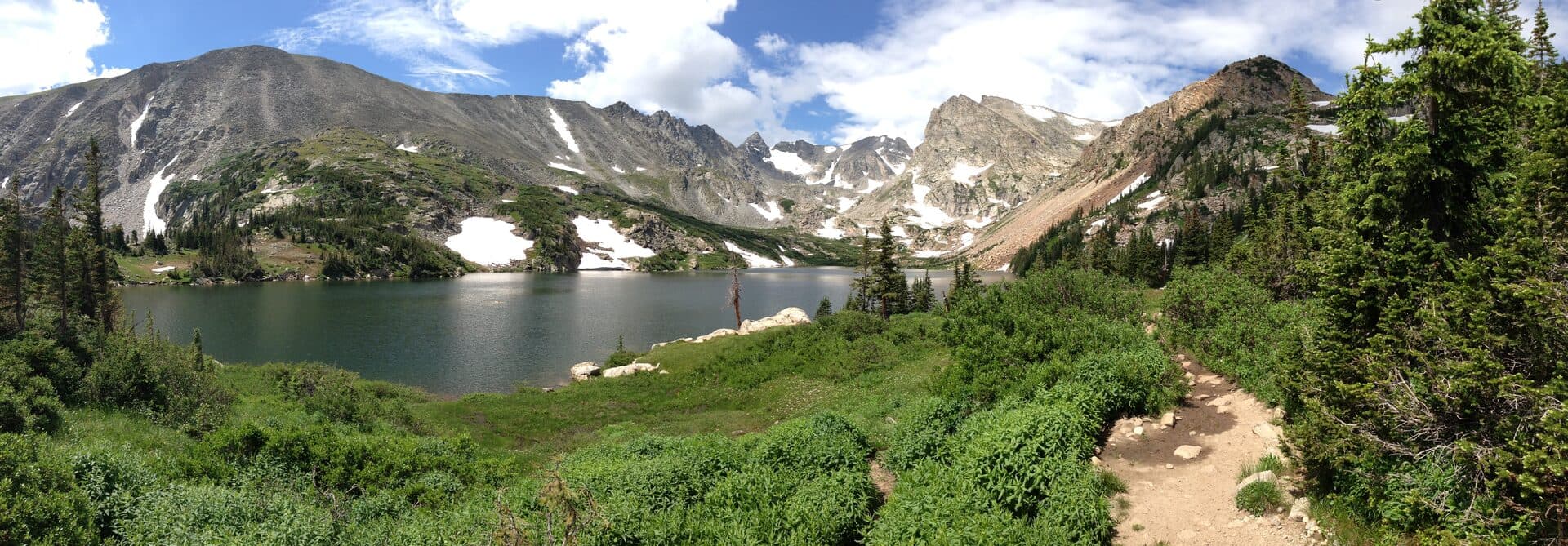
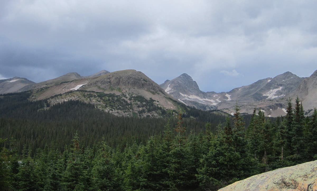
St. Vrain Mountain sits on the southern edge of Rocky Mountain National Park, just above the mountain town of Allenspark in Boulder County. The peak straddles a quiet corner where three pieces of public land meet: the Indian Peaks Wilderness to the south, the national park to the north, and Roosevelt National Forest all around. The trail that climbs it starts in forest, breaks out onto tundra around the 11,000-foot mark, and finishes on a rounded summit with almost nothing between you and the sky.
The reason to pick this hike over a dozen better-known ones nearby comes down to the view-to-crowd ratio. From the top you look straight into Wild Basin, one of the emptiest and prettiest sections of the national park, with Longs Peak and Mount Meeker filling the horizon to the north. You get a fourteener-grade panorama off a summit that sees a fraction of the foot traffic. If you like the idea of that reward without the permit lottery, it pairs naturally with the best hikes in the Indian Peaks Wilderness, which shares this same block of high country.
The catch is honest effort. This is a real climb, close to nine miles with more than 3,000 feet of gain, most of it above 10,000 feet where the air is thin. It rewards a fit hiker and punishes anyone who treats it like a quick summit dash.
Getting to the Trailhead
The Saint Vrain Mountain Trailhead is tucked above Allenspark, and finding the turn is the trickiest part of the whole day. From the center of Allenspark, take Boulder County Road 107, better known as Ski Road, and head south for about 1.5 miles. The turn onto Ski Road is easy to miss; locals mark it with a homemade sign built out of an old pair of skis, so watch for that.
After 1.5 miles on Ski Road, National Forest System Road 116.1 branches up the hill to the right and climbs about half a mile to the trailhead. This last stretch is rougher than the county road, rocky and rutted in spots, so a little clearance helps. Plenty of people drive it slowly in a normal car when it's dry, but you'll be picking your line around rocks. The trailhead itself is small, with room for roughly 12 vehicles, and on a busy summer Saturday it fills early. There are no restrooms and no water here, so handle both before you arrive.
The trailhead sits at about 8,900 feet, which means you start the day already higher than the summit of most peaks east of the Rockies. From here, the Saint Vrain Mountain Trail #915 heads west into the trees. For a sense of how full mountain-town lots get on weekends, our trailhead parking guide covers timing and backups across the Front Range.
The Hike, Section by Section
The first mile and a half is a warm-up in the shade. The trail begins on an old roadbed and climbs steadily through a forest of aspen, lodgepole pine, and spruce, following the drainage of the South St. Vrain Creek. In early summer you'll cross running water and, some years, patches of leftover snow in the shadier pockets. It's a pleasant, forgiving grade here, and it lulls you into thinking the whole day will feel this easy.
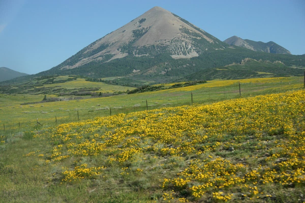
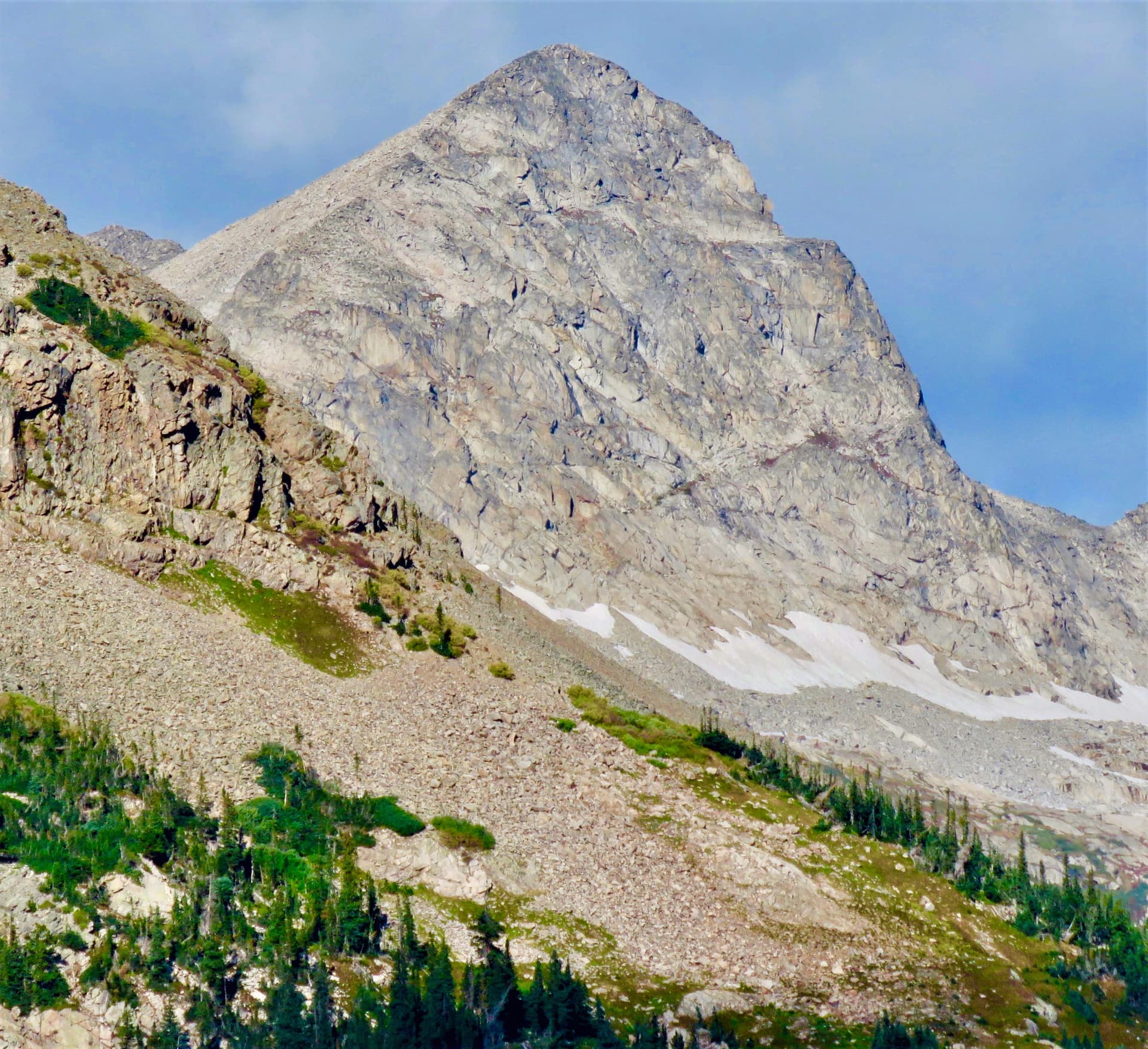
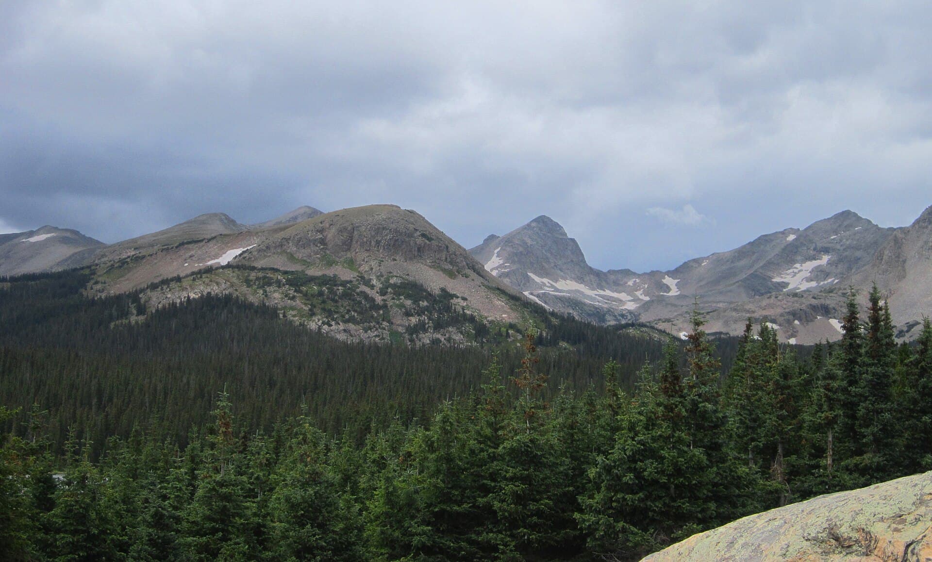
Around the two-mile mark the switchbacks tighten and the work begins. The trees start to thin, the views crack open behind you toward the plains, and the trail bends up toward treeline. By about mile three you break out of the forest entirely into open alpine tundra, passing south of Meadow Mountain, an 11,632-foot rounded hump that sits between you and the national park. This is where the hike earns its keep. The wind picks up, the wildflowers take over in July and early August, and the summit ridge finally comes into view ahead.
From there the trail crosses a broad, gentle saddle and tops out on the ridge at an unsigned junction roughly 3.9 miles in. To reach the actual high point of St. Vrain Mountain, you leave the main trail and follow the rounded crest to the right, a spur of about three-quarters of a mile and several hundred more feet of climbing. There's no scrambling and no drop-off to worry about; it's a walk-up on tundra and loose rock. The altitude and the wind are the only things making it hard by the top. Take it slow, keep your feet on rock or durable ground to spare the fragile tundra, and pace your breathing.
The View from the Top
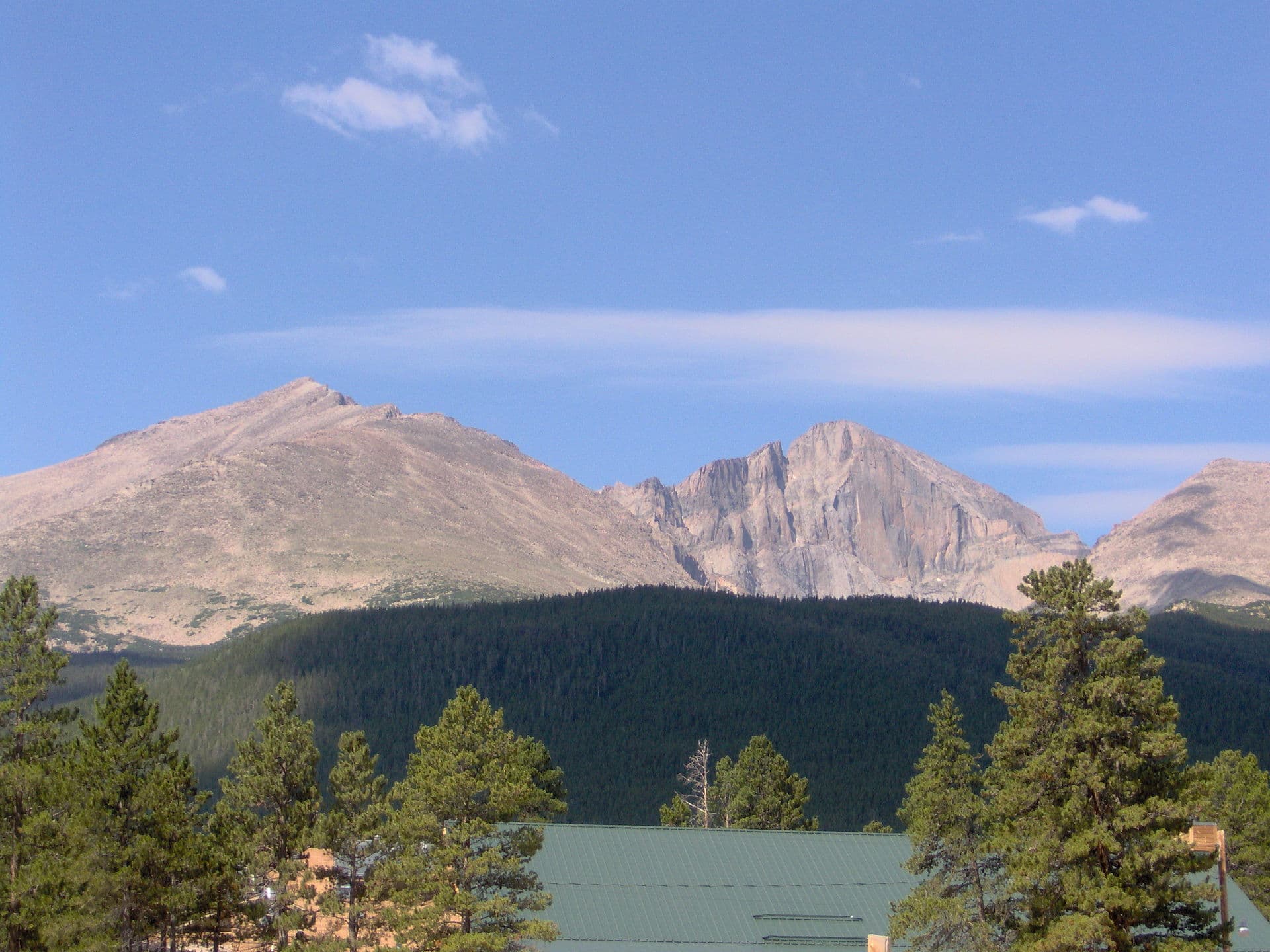
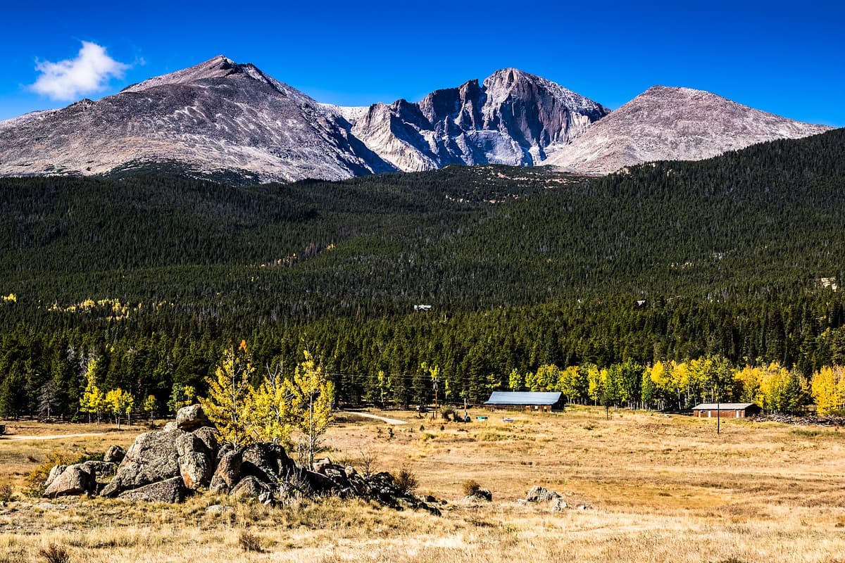
The summit is a wide, flat crown, and the payoff is the sweep of country it opens up. To the north, Longs Peak and its neighbor Mount Meeker dominate the skyline, their east faces rising over the green trough of Wild Basin. Seeing Longs from this angle, without the mob at the Longs Peak trailhead, is the reason a lot of people make the drive. If that view hooks you, our Longs Peak Keyhole Route guide walks through what it takes to actually stand on that summit.
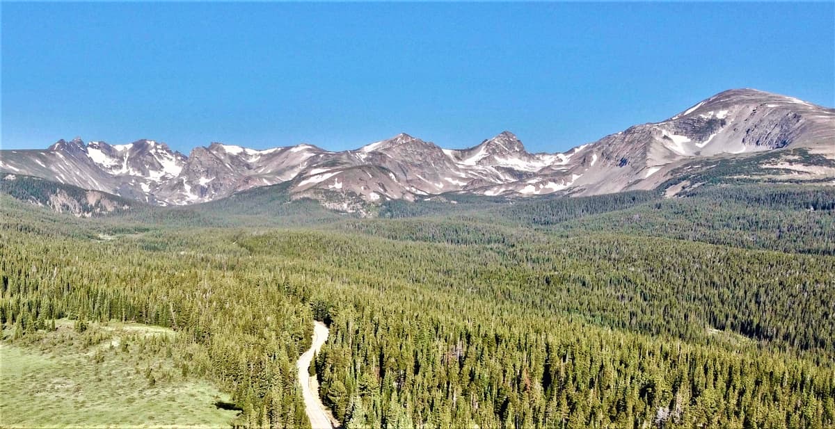
Turn south and west and the Indian Peaks stack up along the Continental Divide, a serrated wall of 13,000-foot summits.
To the east, on a clear morning, the high plains run out flat toward Denver and the horizon. It's the kind of 360-degree view that usually costs a lot more suffering than this trail asks. Bring a wind layer; the summit is exposed and the breeze rarely quits up here, even on a warm day. This is a fine spot to eat lunch, but keep an eye on the clouds, which we'll come back to.
The National Park Catch (Dogs and Rules)
Here's the detail that surprises people, and it matters most if you brought a dog. The upper part of the St. Vrain Mountain Trail briefly crosses into Rocky Mountain National Park near its southern boundary above Wild Basin. Dogs are allowed on the Indian Peaks and national forest portions of the trail as long as they're on a hand-held leash, but they are not allowed on the stretch inside the national park. The park bans dogs on all its trails, no exceptions, so bringing a dog to the summit puts you offside even if the boundary isn't marked on the ground.
If you're hiking with a dog, the honest move is to turn around at the park boundary rather than push to the true summit. A few other rules apply on the wilderness side, and they're worth knowing before you go:
- Group size is capped at 12 people and stock combined.
- Campfires are prohibited year-round in the Indian Peaks Wilderness.
- Overnight camping requires a permit from June 1 through September 15 (about $5 per group), though most people do this as a day hike.
- Stock animals are allowed, but certified weed-free hay is required.
None of this affects a normal day hike much, beyond the leash and dog rules. For the bigger picture of how the park manages access on its side of the line, see our Rocky Mountain National Park guide.
Best Time to Hike St. Vrain Mountain
The window that works cleanly runs from late June through September. Earlier than that, snow lingers on the upper mountain and in the saddle well into June, and the shaded creek section can stay icy longer than you'd expect. If you go in late spring or early summer, bring traction and be ready to turn back if the snow above treeline is steep or unstable. A set of microspikes can make the difference between a fun day and a sketchy one on those early-season crossings.
July and early August are the sweet spot for wildflowers, when the tundra between Meadow Mountain and the summit fills with color. September brings cool, stable air and thinner crowds, though the days get short fast and the wind bites. By October, snow is back on the high ridge and the road can turn slick. Whatever month you pick, this is high country; conditions up top rarely match what you feel in the parking lot, so plan for the summit, not the trailhead.
What to Bring and How to Stay Safe
The single biggest hazard on St. Vrain Mountain isn't the terrain, it's the sky. Above treeline you're the tallest thing around, and Colorado's afternoon thunderstorms build fast in summer, often by noon or 1 p.m. The rule is simple and non-negotiable: start early, aim to be off the summit and headed down by late morning, and don't gamble on a darkening cloud. Lightning has killed hikers on exposed Front Range ridges, and this is exactly that kind of ridge.
Altitude is the second thing to respect. You're spending hours above 10,000 feet, and headaches, nausea, or dizziness can hit even fit people. Drink more water than feels necessary, and if symptoms get worse as you climb, go down. Our guide to altitude sickness in Colorado covers the warning signs and what to do about them.
For a hike this long and this exposed, pack accordingly:
- Sturdy footwear with good tread. A broken-in pair from our best hiking boots for Colorado roundup handles the loose tundra rock well. Search current options on Amazon hiking boots.
- A wind and rain shell, because the summit is windy on the calmest day and weather turns quickly. See our rain jacket picks or browse packable rain jackets.
- Trekking poles for the long descent and any lingering snow; our trekking pole guide explains what to look for.
- Sun protection. There's no shade above treeline, and UV is brutal at this altitude, so bring mineral sunscreen, sunglasses, and a hat.
- Plenty of water and a filter if you plan to refill from the creek, plus more food than you think you'll want.
- A headlamp in case the day runs long; our headlamp picks cover reliable ones.
If you're newer to hikes at this elevation, read our beginner's guide to hiking in Colorado first and build up to a peak like this. And if you'd rather scout an easier day nearby before committing to the full climb, the best day hikes near Denver has shorter options within an hour or two.
Frequently Asked Questions
How long is the St. Vrain Mountain Trail?
The round trip to the summit runs about nine miles, with sources putting it between 8.7 and 9.2 miles depending on where you turn around. You'll gain roughly 3,300 feet from the trailhead at 8,900 feet to the 12,162-foot summit. Most hikers take 5 to 7 hours.
Is St. Vrain Mountain a hard hike?
It's hard by distance and altitude, not by terrain. There's no scrambling, exposure, or route-finding trouble; it's a Class 2 walk-up on trail and open tundra. The difficulty comes from spending hours above 10,000 feet on a steady climb, so cardio fitness and altitude tolerance matter more than technical skill.
Can you bring a dog on the St. Vrain Mountain Trail?
Yes, on a hand-held leash, but only on the Indian Peaks Wilderness and national forest portions. The upper trail crosses briefly into Rocky Mountain National Park, where dogs are banned on all trails. If you bring a dog, turn around at the park boundary rather than continuing to the true summit.
How do you get to the St. Vrain Mountain trailhead?
From Allenspark, take Boulder County Road 107 (Ski Road) south about 1.5 miles, then turn right and up National Forest System Road 116.1 for roughly half a mile to the trailhead. Ski Road is marked with a homemade sign made from old skis. The final half mile is rocky; go slow in a low-clearance car.
When is the best time to hike St. Vrain Mountain?
Late June through September. Snow lingers above treeline into early summer, so carry traction if you go before July. Midsummer brings the best wildflowers, and September offers cool, stable weather with fewer people. Start early any month to beat afternoon thunderstorms on the exposed summit ridge.
St. Vrain Mountain is one of those hikes that pays back far more than it costs in fame: a real summit, a national-park-caliber view, and a trail that stays quiet while the crowds pile up a few miles north. Get an early start, respect the weather, and you'll come home with the kind of day most visitors never find. When you're ready for the next one, our roundup of the best hikes near Estes Park covers more high country just up the road.
Get the Colorado 14er Packing Checklist (free PDF)
Plus a weekly note on the best Colorado trails, gear deals, and seasonal hike picks. No spam, unsubscribe anytime.
We respect your inbox. Unsubscribe anytime.