Best Hikes Near Fort Collins, Colorado
Fort Collins sits at the base of the Cache la Poudre Canyon, with access to Rocky Mountain National Park (90 minutes), the Poudre Wilderness, and miles of foothills trails minutes from town.
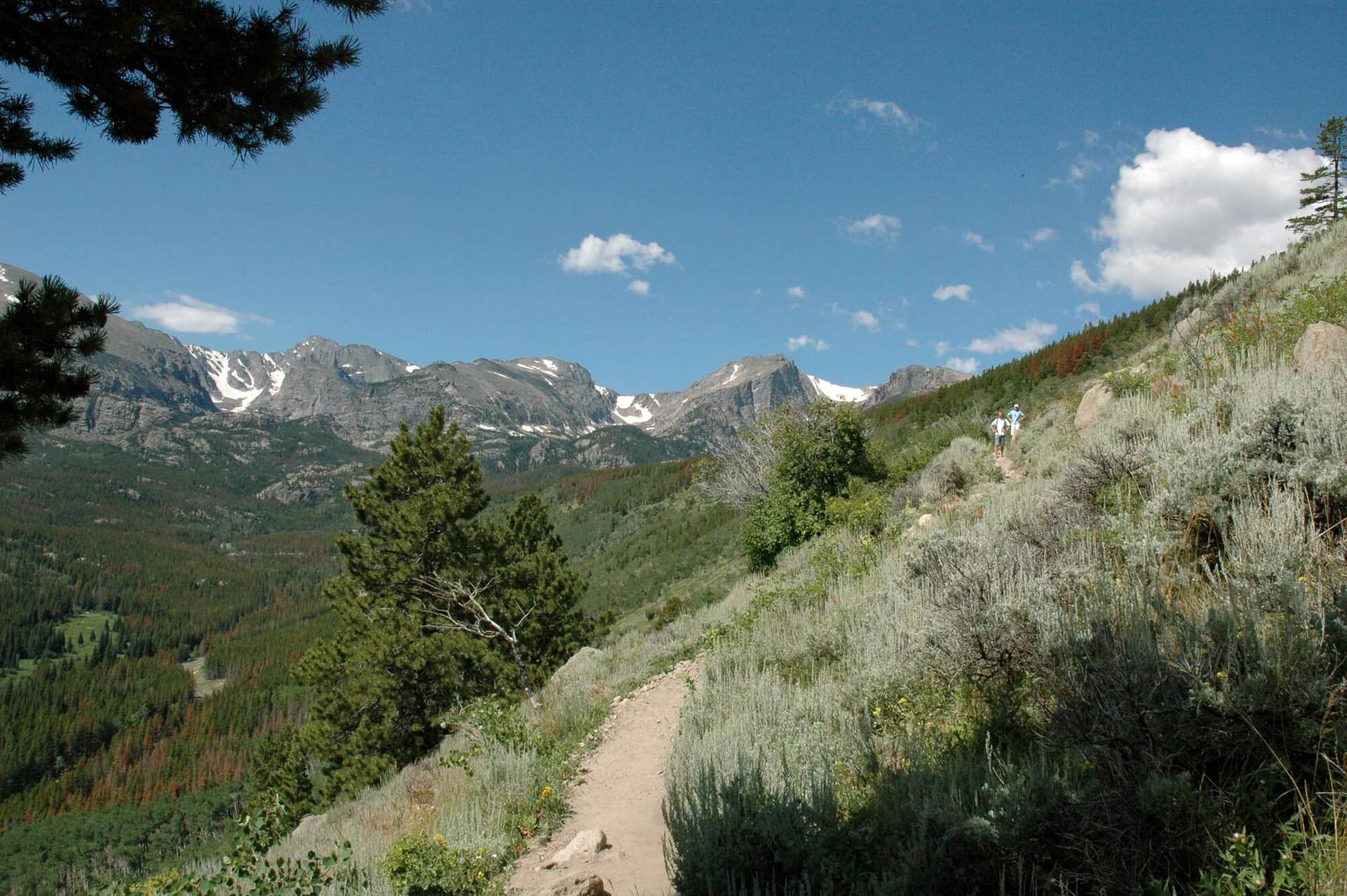
Emerald Lake Trail
A stunning alpine lake hike that passes Nymph Lake and Dream Lake before reaching the spectacular Emerald Lake. Perfect introduction to Rocky Mountain National Park's high country.
Chasm Lake
A challenging hike to a pristine alpine lake beneath the dramatic east face of Longs Peak. The lake sits in a spectacular cirque surrounded by towering granite walls.
Bear Lake Trail
An accessible paved loop around one of Rocky Mountain National Park's most popular lakes with stunning mountain reflections and wildlife viewing.
Lily Lake Trail
A flat, accessible boardwalk loop around a scenic lake with views of Longs Peak and the Continental Divide. Perfect for all abilities.
Sprague Lake Trail
A wheelchair-accessible trail to a pristine alpine lake with stunning reflections of the Continental Divide peaks and Hallett Peak.
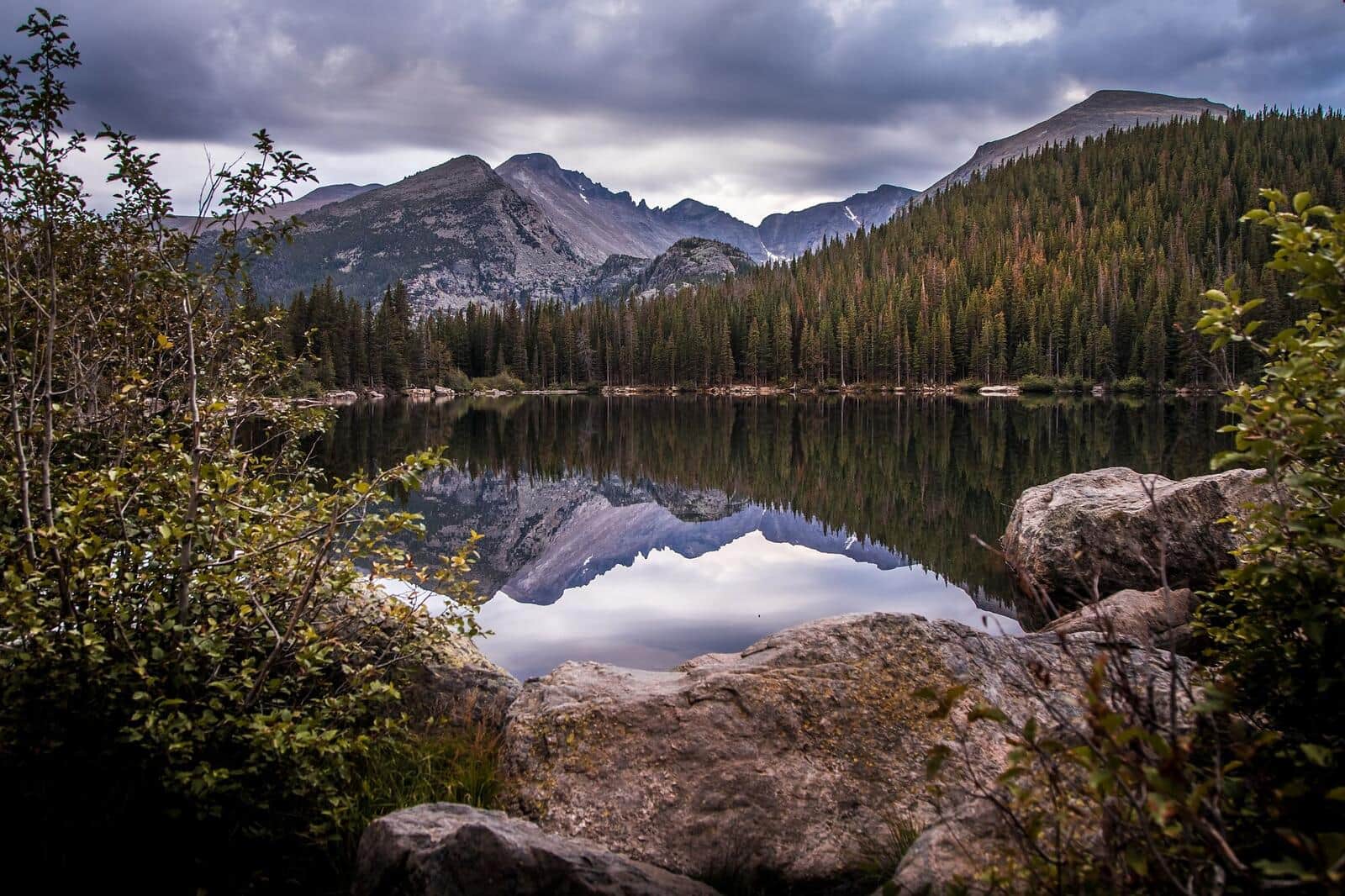
Fern Lake Trail
A longer alternative to the crowded Bear Lake corridor. The trail follows the Big Thompson River through Moraine Park, passes The Pool and Fern Falls, and climbs to subalpine Fern Lake. Quieter than Emerald Lake even in peak season.
Cub Lake Trail
An easy hike through Moraine Park's meadows and aspen groves to Cub Lake, a small lily-pad-covered lake surrounded by pines. Wildflowers in July, fall colors mid-September, and one of the most beginner-friendly RMNP trails outside the Bear Lake area.
Bierstadt Lake Trail
Short but steep switchbacks climb to Bierstadt Lake, a quiet forested lake with classic reflection views of Longs Peak and the Continental Divide. The lake is busier in winter for snowshoers than in summer.
Mills Lake Trail
Starts at Glacier Gorge Trailhead and climbs past Alberta Falls into the dramatic Glacier Gorge to Mills Lake, with direct views up to the Keyboard of the Winds and Longs Peak. The trailhead is also the start for Loch Vale and Sky Pond on longer days.
Coyote Ridge Trail
Larimer County Natural Resources trail with rolling foothills terrain and views of the Mummy Range. Good wildlife viewing for deer and the occasional coyote. Flat for the first mile, then climbs gently.

Devils Backbone Trail
Larimer County natural area with iconic rock formation hiking. The 'Keyhole' is the photo destination — a window through the sandstone formation. Family-friendly with stroller access on the lower section.
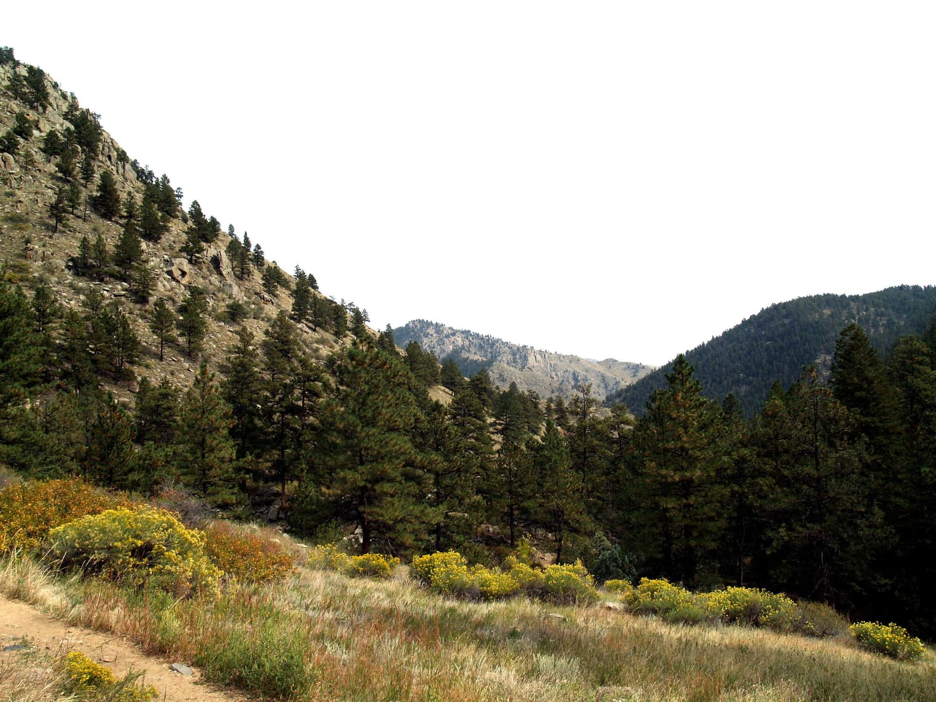
Big South Trail
Long trail through the Cache la Poudre Wilderness following the Big South Fork. Aspen and conifer forest, granite slabs above the river, and excellent fall color in late September. Suitable as a day hike to about mile 4 or as an overnight backpack.
Browns Lake Trail
High-alpine lake hike from the Pingree Park area into the Comanche Peak Wilderness. Climbs through pine forest into open meadows with views of Comanche Peak before descending to Browns Lake. One of the quieter alpine destinations near Fort Collins.
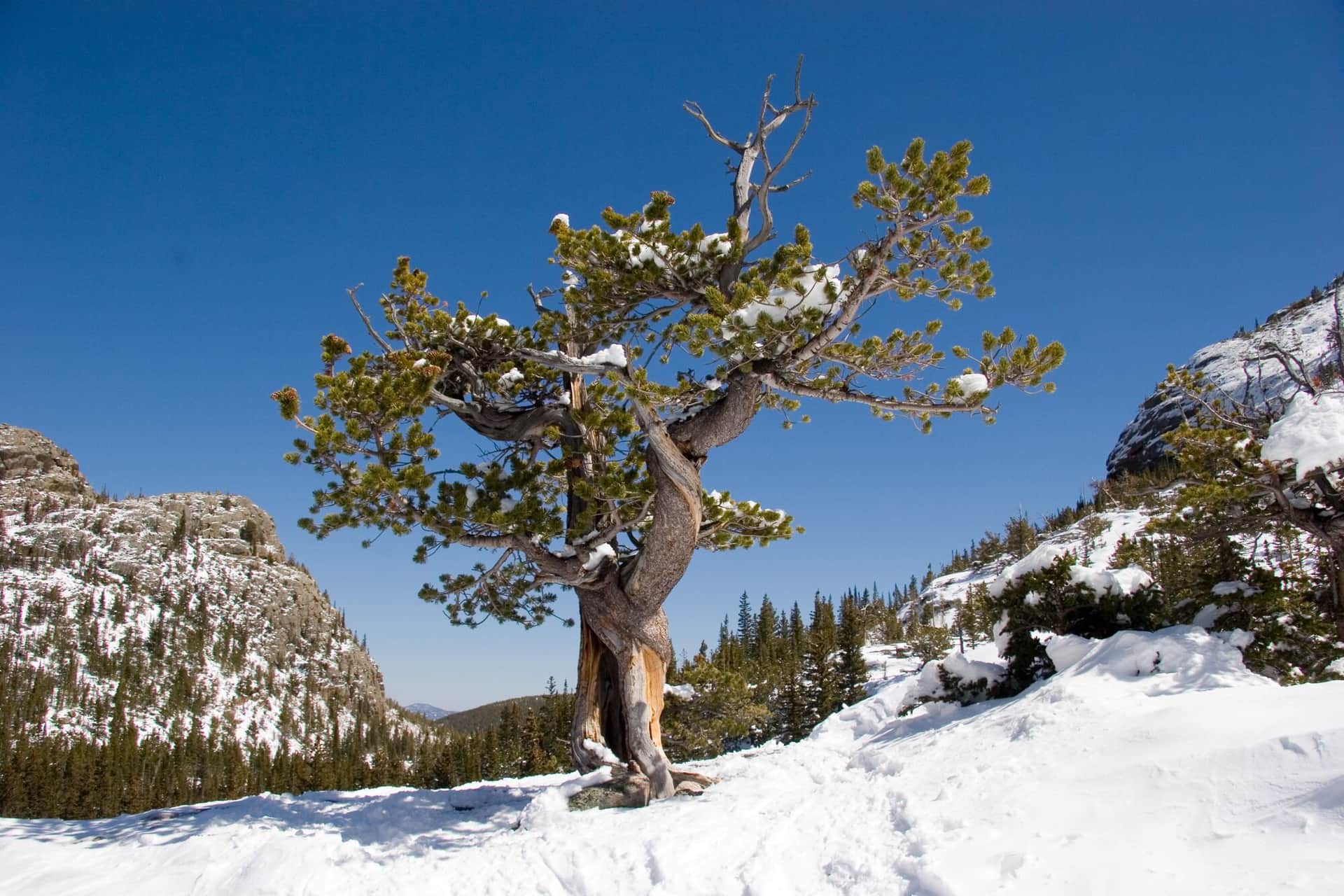
Andrews Glacier Trail
From Glacier Gorge Trailhead, climbs past Loch Vale and up into Andrews Tarn beneath Andrews Glacier — one of the few true glaciers remaining in RMNP. The final stretch is on talus and snow even in midsummer.
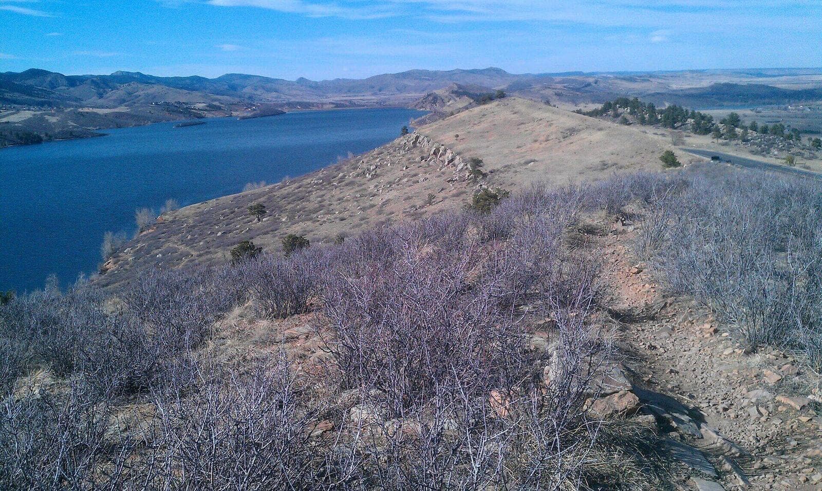
Horsetooth Mountain Loop
The iconic Fort Collins hike to the toothy rock formation visible from town. The loop climbs through ponderosa forest to the summit, with views of the Reservoir, the Mummy Range, and on clear days, Longs Peak.
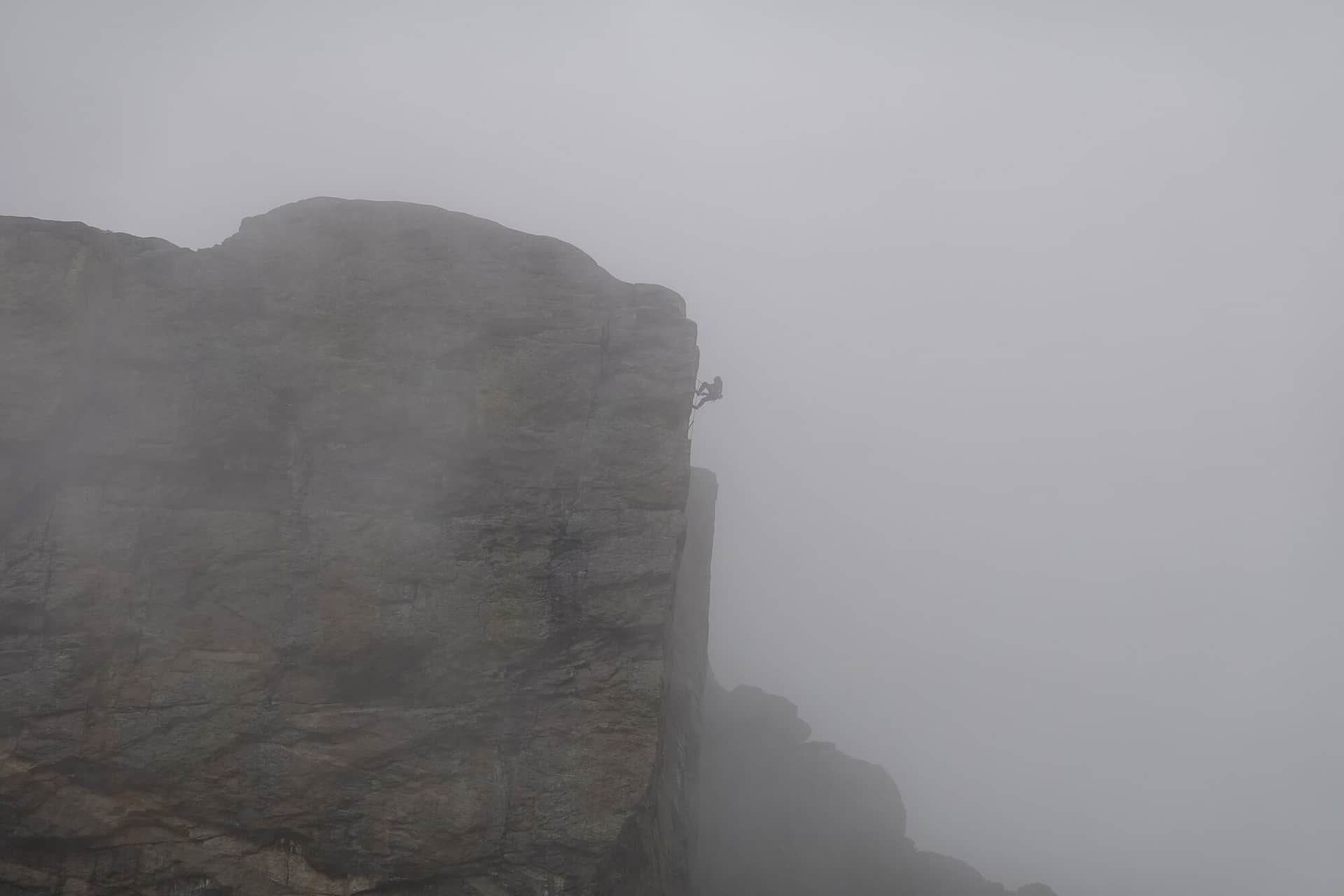
Greyrock Mountain Trail
A challenging climb up to the granite dome of Greyrock in the Cache la Poudre canyon. The final scramble to the summit lake rewards with one of the best views in northern Colorado.
Arthur's Rock via Lory State Park
Short steep climb to a granite outcrop overlooking Horsetooth Reservoir and the city. Good after-work hike for Fort Collins locals; one of the most consistent spring trails in the area.
Hiking in Fort Collins: what to know
Fort Collins hiking divides between in-town foothills trails (Horsetooth Mountain, Arthur's Rock, Lory State Park) and the bigger destinations up the Poudre Canyon (Greyrock, Big South, Browns Lake).
Horsetooth Mountain Open Space is the iconic Fort Collins hike: a 5.2-mile loop to the toothy summit visible from town. The loop climbs through ponderosa forest to a 7,255-foot summit with views of the Mummy Range and (on clear days) Longs Peak. Trailhead has paid parking ($9).
Greyrock Mountain Trail (7.5 miles round trip, 2,000 feet of gain) is the harder Poudre Canyon classic. The summit dome scramble is the route's signature feature. Less crowded than Horsetooth.
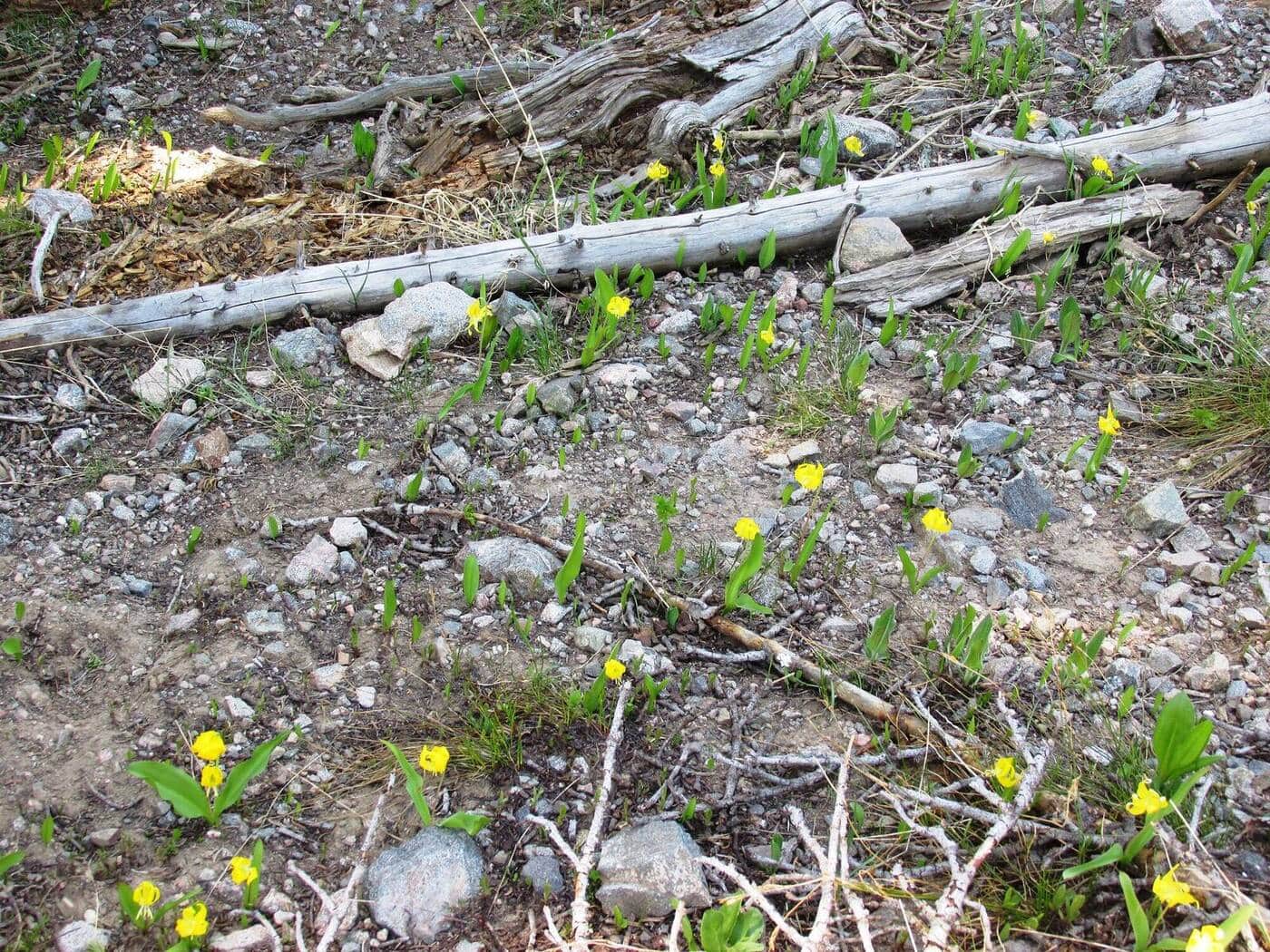
Lory State Park, on the west side of Horsetooth Reservoir, has Arthur's Rock (3.4 miles round trip, 1,100 feet of gain) as the popular shorter option. Lory has reliable wildflowers in spring and an actual swimming option in the reservoir afterward.
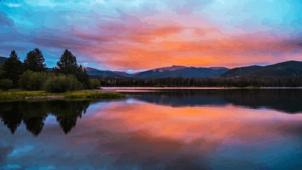
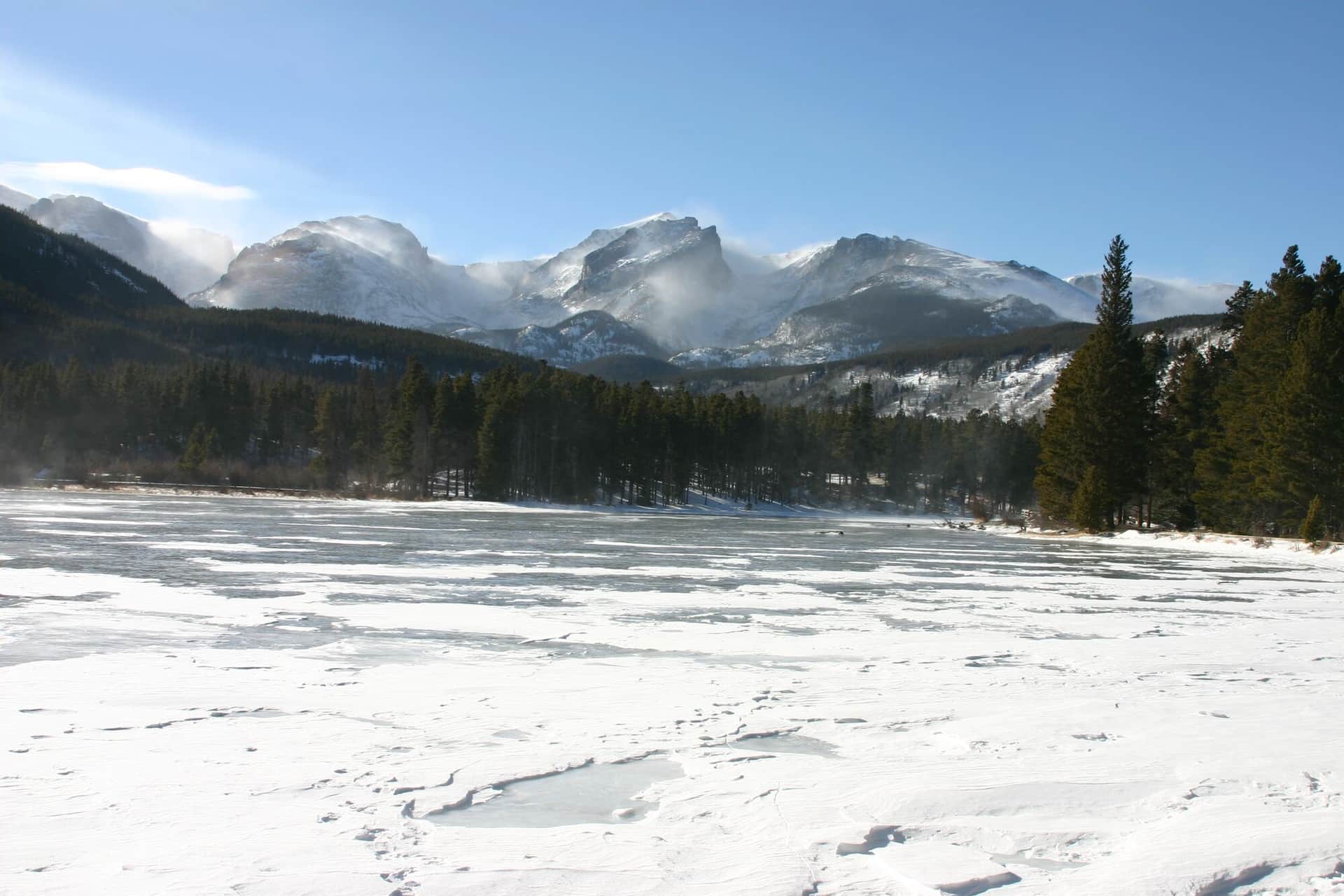
For Rocky Mountain National Park access, Fort Collins is 90 minutes from Trail Ridge Road and 75 minutes from the Estes Park entrance. The Fern Lake and Cub Lake trailheads in Moraine Park are the closest RMNP access for Fort Collins residents and are dramatically less crowded than the Bear Lake corridor.
The Cache la Poudre Wilderness (north of the Poudre Canyon) and Comanche Peak Wilderness (south side) both have less-traveled backcountry hiking. Big South Trail (14 miles round trip) and Browns Lake Trail (12 miles round trip) are the area classics.
Fort Collins sits at 5,003 feet (lower than Denver), and the foothills trails are reliable year-round. With microspikes in winter the in-town trails stay accessible.
Cameron Pass and the Laramie River area provide alpine hiking accessible from Fort Collins, though the drive is over 2 hours.