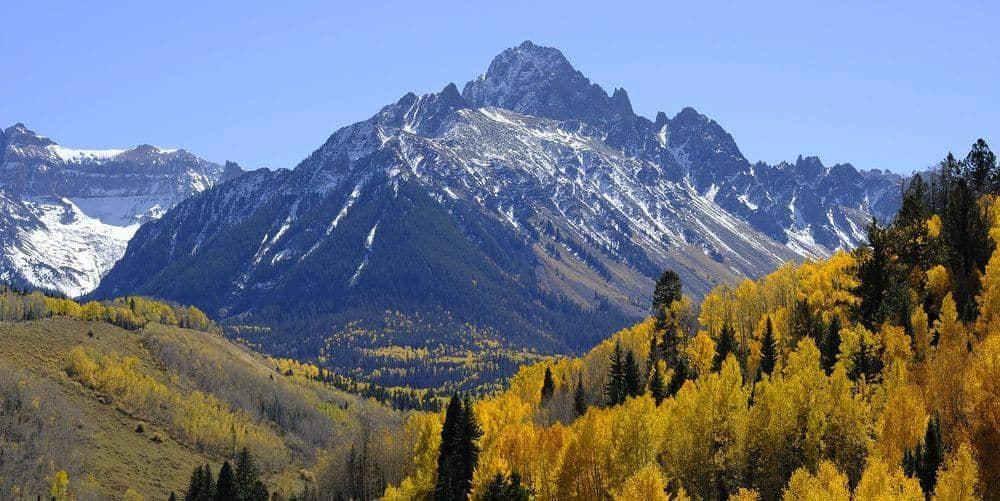
Tabeguache Peak is Mount Shavano's lower twin, 14,155 feet against Shavano's 14,229, and the two are connected by a Class 2 ridge that makes them a natural pair. Since the Forest Service closed the eroded Jennings Creek route, the only standard way onto Tabeguache is over Shavano's summit, so nearly everyone climbs it as the second peak of a Shavano day.
Standard Route
Start at the Blank Cabin trailhead at 9,750 feet, west of Poncha Springs. The Mount Shavano trail shares its first stretch with the Colorado Trail, then turns uphill through forest to treeline and climbs a long, steady slope to the saddle south of Shavano's summit. From the Shavano summit, descend about 500 feet northwest along the ridge to the Shavano-Tabeguache saddle at roughly 13,700 feet, then climb 450 feet of talus up Tabeguache's east ridge. Return the same way, which means re-climbing Shavano. Total: about 11 miles round trip and 5,600 feet of cumulative gain.
What to Expect
The traverse is Class 2 with loose rock on both sides of the saddle, and the second ascent of Shavano on the way home is where most people slow down. Many slips on this route happen on the return leg, on the descent to the saddle, with tired legs. Give yourself a hard turnaround time at the Shavano summit: if it is past 10 AM or clouds are building, skip Tabeguache. The old Jennings Creek descent to the west is closed and badly eroded; do not use it.
Access & Logistics
From US 285 at Poncha Springs, take Chaffee County Road 140 and then County Road 250 to the Blank Cabin trailhead, about 9 miles of gravel that any car can drive when dry. There is no fee or permit. The lot fills on summer weekends, and overflow parks along the road.
When to Climb
The Angel of Shavano, the snow figure on Shavano's east face that gives the peak its name, usually melts out in early July, and the ridge is dry from then until the first October storms. Because the route faces east and starts low for a Sawatch peak, it opens earlier than most and is a common late-June climb with microspikes.
Summer afternoons bring the usual thunderstorms. With two summits and a re-ascent to make, plan a pre-dawn start so the traverse is finished before noon.
Camping, Permits, and Nearby
The Angel of Shavano campground on County Road 240 is the closest developed camping, and dispersed sites are allowed along the county roads near the trailhead. Salida, 30 minutes east, is the base for the southern Sawatch, with an Arkansas River whitewater park, hot springs, and every service. Mount Antero and Mount Princeton are the next fourteeners north and share the same weather and the same Buena Vista and Salida lodging.
Gear Notes
Poles and a helmet are worth carrying for the loose traverse. Bring more water than a single-peak day; there is none on the ridge, and the second climb of Shavano comes late in the day when you are already dry.
Related Reading
Often Climbed With
Mount Shavano →
14,229 ft · Class 2 · 9 mi standard route
Planning a Tabeguache Peak climb? Get the prep checklist.
Free PDF — pre-climb fitness, gear, weather decision tree. Plus weekly Colorado trail picks.
We respect your inbox. Unsubscribe anytime.