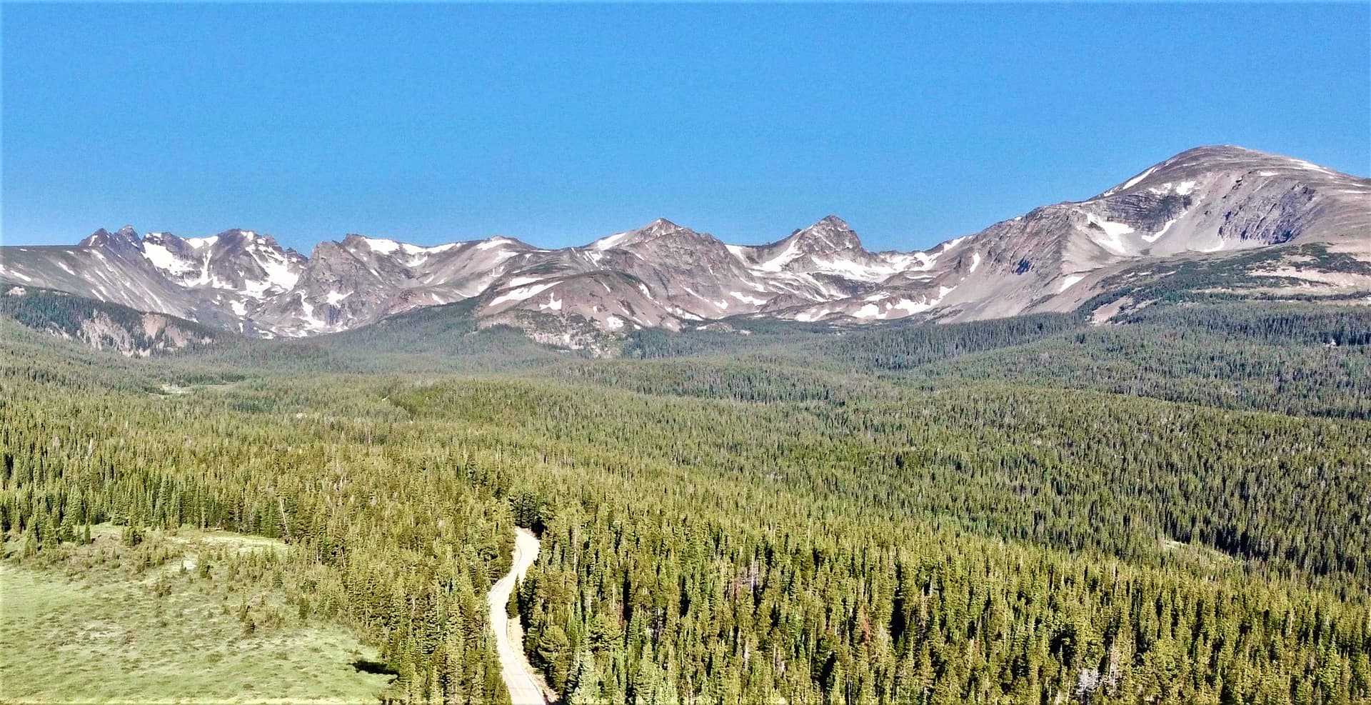
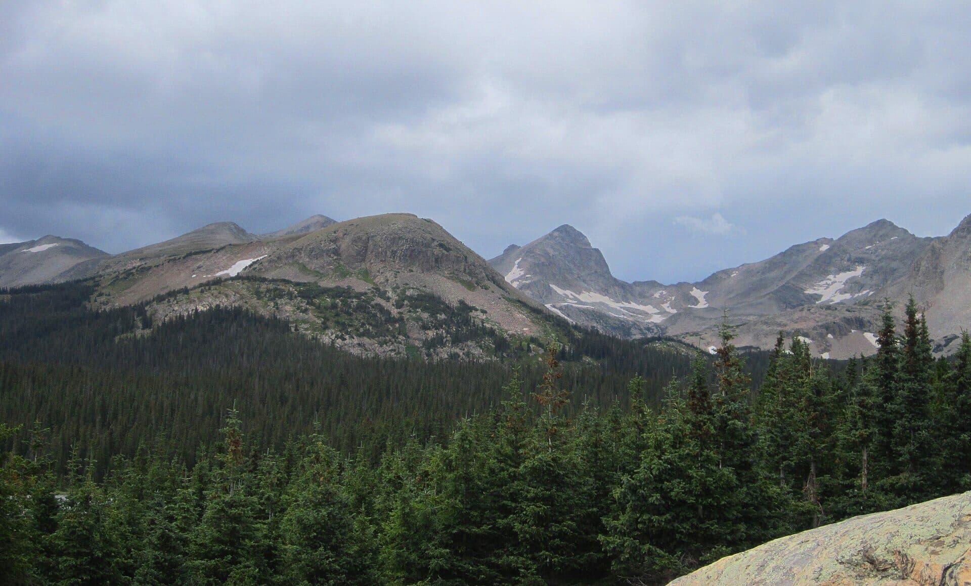
Silver Dollar Lake Trail, Colorado: A Short Hike to a Big Alpine Payoff (2026)
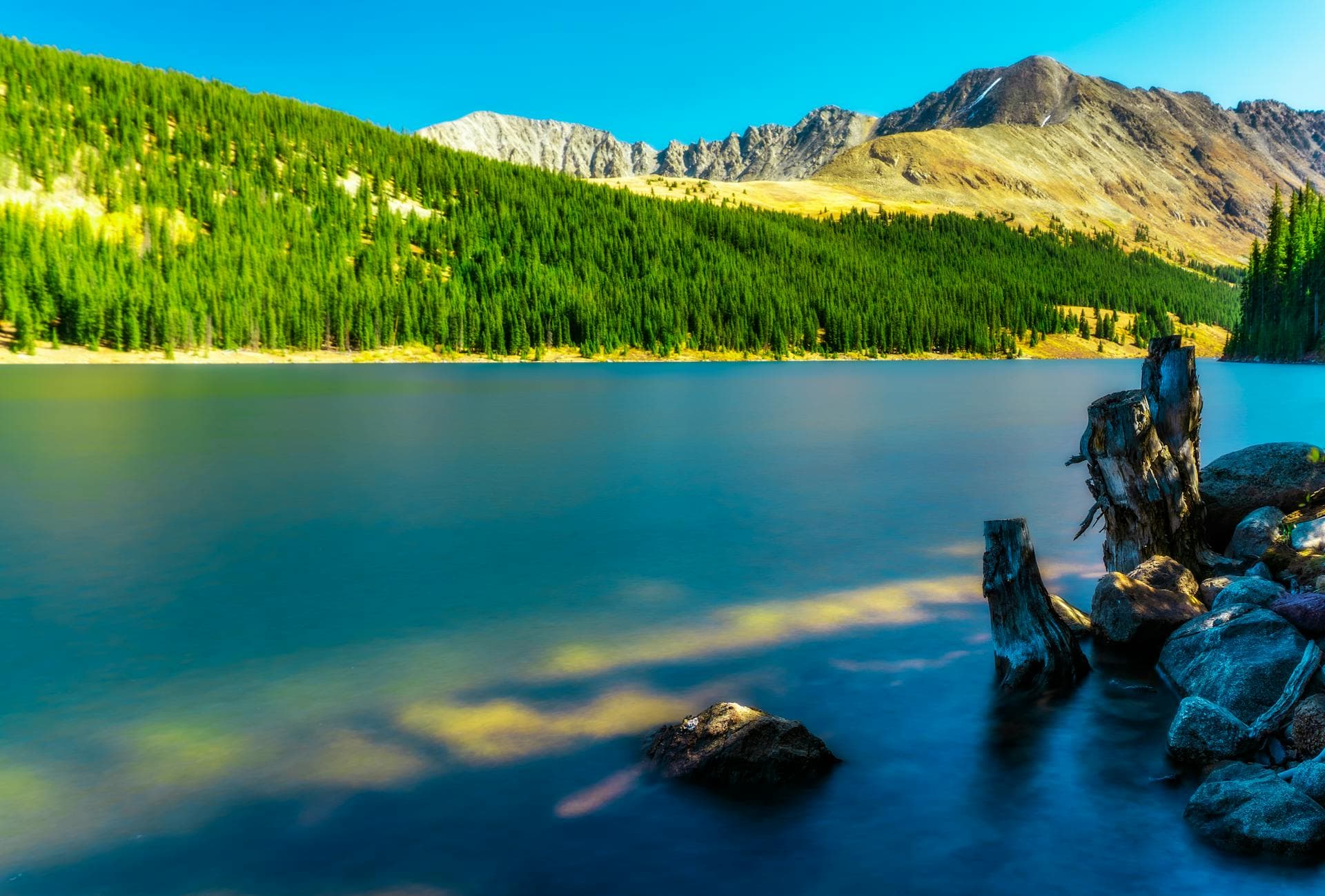
Silver Dollar Lake is the rare Colorado hike that gives you a full-blown alpine lake for barely any mileage. From the upper trailhead you climb about a mile and a half, gain a few hundred feet, and top out at a glassy lake sitting at 11,950 feet with Square Top Mountain filling the sky behind it. It's one of the shortest ways to stand next to a real high-country lake anywhere near Denver.
The catch is small but worth knowing before you go. The last stretch of road to the trailhead is rough enough that a lot of people park lower and walk it, and the climb itself is short but steep at an altitude where short and steep still make you breathe hard. Plan for both and this becomes one of the best half-day hikes in the Front Range.
This guide covers the trailhead road and where to actually park, the hike to Silver Dollar Lake step by step, the steeper push up to Murray Lake, when to go, and what to bring for a hike that starts above 11,000 feet.
What you'll learn
- Quick stats for the lake and the Murray Lake extension
- Getting to the trailhead and the truth about Naylor Lake Road
- The hike to Silver Dollar Lake mile by mile
- Continuing to Murray Lake
- Best time to go and what each season looks like
- What to bring for a high-altitude hike
- Wildlife and Leave No Trace
- Nearby hikes and where to stay
- FAQs
Quick stats {#quick-stats}
| Detail | Silver Dollar Lake | Both lakes (+ Murray) |
|---|---|---|
| Distance (RT) | ~2.5 to 3 miles | ~4 miles |
| Elevation gain | ~600 to 800 ft | ~1,050 ft |
| Trailhead elevation | ~11,200 ft (upper 4WD lot) | ~11,200 ft |
| Lake elevation | 11,950 ft | Murray ~12,050 ft |
| Difficulty | Moderate | Moderate |
| Type | Out and back | Out and back |
| Season | Late June to late September | July to September |
| Permits | None | None |
| Dogs | On leash | On leash |
Parking at the lower lot instead of driving the rough spur road adds roughly 1.4 miles round trip. The trail sits in Arapaho National Forest, Clear Creek Ranger District, near Georgetown. This is national forest, not designated wilderness, so the rules are a little more relaxed, but Leave No Trace still applies.
Getting to the trailhead {#getting-there}
Silver Dollar Lake hangs above Guanella Pass Road, the scenic byway that climbs south out of Georgetown toward the pass and the Mount Bierstadt trailhead. From I-70, take the Georgetown exit, roll through town, and follow the signs for Guanella Pass. The road is paved on the Georgetown side and easy to drive.
Head up Guanella Pass Road about 9 to 10 miles. Watch for the small Silver Dollar Lake sign and a dirt pullout on the right (west) side, just before the pass itself. This is where the decision happens.
From that pullout, a rough spur called Naylor Lake Road climbs about 0.7 miles to the upper trailhead. It's short, but it's pocked with deep potholes and embedded rock. High-clearance four-wheel-drive handles it fine. A standard car or crossover does not, and people bottom out on it every summer. If you're not sure your vehicle can take it, don't risk it.
The honest play for most passenger cars: park at the lower pullout on Guanella Pass Road and walk the spur road up. It adds about 0.7 miles each way, so roughly 1.4 miles round trip, but the road walk is mellow and gets you warmed up before the real climb. Both the lower pullout and the upper trailhead are small and fill early on summer weekends. Get there before 8 AM on a Saturday in July or plan to circle.
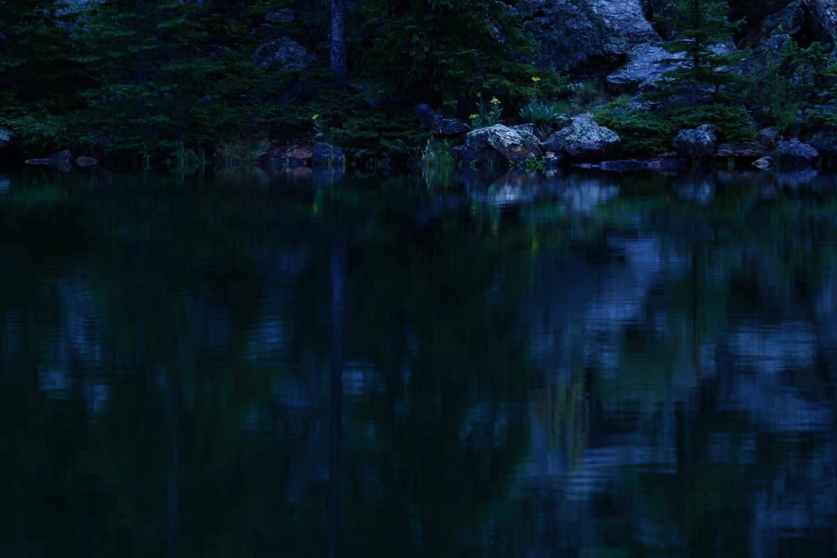
Note that Naylor Lake itself, the lake you'll see below the trail early on, is private. Stay on the marked route and don't cut down to its shore. There's no restroom at either trailhead, so use the facilities in Georgetown before you drive up.
The hike to Silver Dollar Lake {#the-hike}
From the upper trailhead you start already above 11,000 feet, which is most of the reason this hike feels harder than its numbers suggest. Give yourself grace on the pace and stop to breathe without shame.
The trail leaves the parking area and climbs steadily through the last of the spruce and into open tundra within the first quarter mile. Almost right away you get a view down to Naylor Lake on your left and out across the drainage. The tree cover thins fast, so this is a hike where sun protection matters from the first step.
The middle stretch is the workhorse. The path switchbacks up an open slope, gaining elevation at a consistent clip. It's never technical, just persistent, and the thin air does the rest. In July this slope goes off with wildflowers: paintbrush, columbine, alpine sunflower, and king's crown packed between the rocks. It's one of the better wildflower walks in the area, which is a big part of why the trail stays busy.
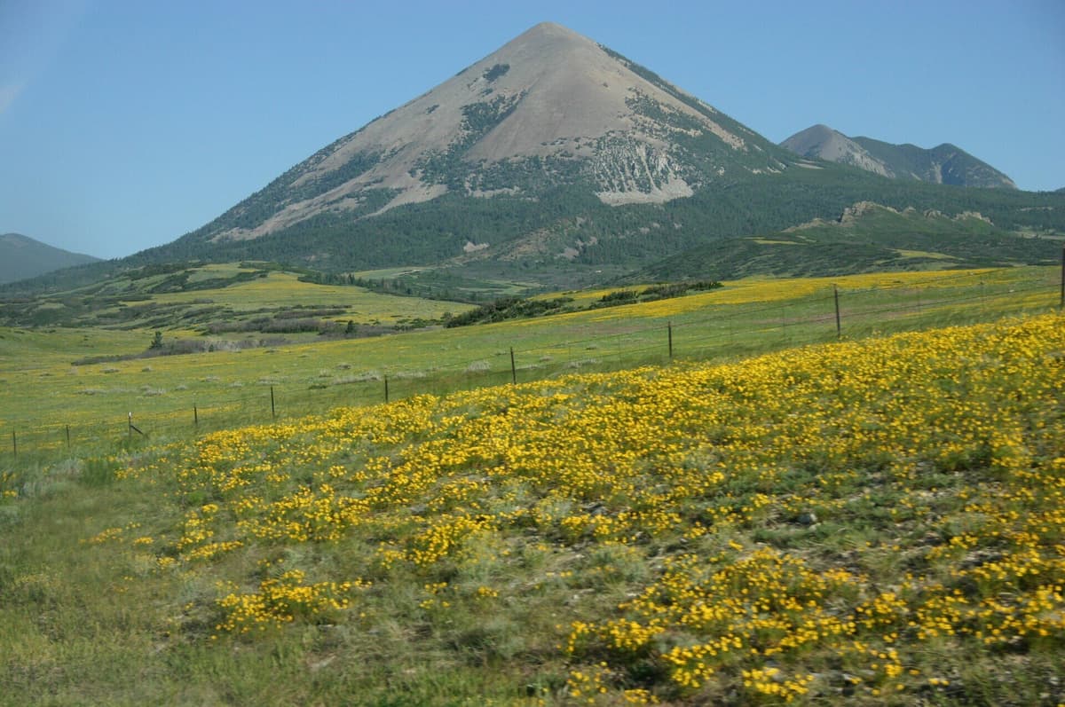
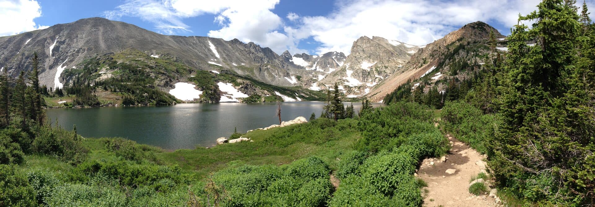
Around the mile-and-a-half mark the grade eases and the basin opens up. Silver Dollar Lake sits in a rock bowl at 11,950 feet, wide and calm, catching the reflection of Square Top Mountain and the surrounding ridges. The name fits: on a still morning the water looks like a coin dropped into the tundra. There's plenty of room to spread out along the shore, find a rock, and eat something.
Most hikers make this their turnaround, and it's a fine one. To here and back from the upper trailhead runs roughly 2.5 to 3 miles with somewhere around 600 to 800 feet of gain. Reasonably fit hikers do it in two to three hours with a lake break. If the potholes turned you back and you started from the lower lot, add that road walk to your day.
Continuing to Murray Lake {#murray-lake}
If you've got gas left, Murray Lake is worth the extra effort, and it thins the crowd out considerably. From Silver Dollar, the trail climbs the steepest pitch of the whole hike, a short scramble up the headwall to the southwest.
Murray Lake sits higher and more exposed at roughly 12,050 feet, tucked against the rock with almost no vegetation around it. It feels wilder and quieter than Silver Dollar, and the extra elevation opens up the views back down the basin. The push up is only about half a mile, but it's genuinely steep and it's the part of the day most likely to make you stop and gasp.
Doing both lakes turns the outing into roughly a 4-mile round trip with about 1,050 feet of total gain from the upper trailhead. That's still a half-day hike, but it's a real one at altitude. Budget three to four hours, more if you're taking photos or lingering.
Turn around with time to spare. Afternoon thunderstorms build fast over these peaks in July and August, and you do not want to be standing next to an exposed alpine lake when the sky goes dark. If you hear thunder or see clouds stacking up, head down.
Best time to go {#when-to-go}
Late June. The road and trail are usually melting out. Expect lingering snow on the upper switchbacks and near the lakes, plus soft, muddy sections. Crossings run high. Doable for prepared hikers, sloppy for everyone else.
July. Peak wildflowers and peak crowds. The slope below Silver Dollar is at its best, and so is the parking crunch. Start early, both to get a spot and to beat the storms.
August. Flowers fade but the trail stays gorgeous and a touch less mobbed midweek. Afternoon storms are still near-daily, so keep the early-start habit.
September. My pick if you can only go once. Cooler air, thinner crowds, and the tundra starts turning gold and rust. Storm risk drops. Bring an extra layer because mornings up here get cold fast.
October through May. Guanella Pass Road stays open in winter but gets snowpacked, and the trail becomes a snowshoe outing. Silver Dollar is actually a popular beginner snowshoe destination once the snow settles. If that's your plan, read our beginner snowshoeing guide first and check avalanche conditions for the slope above the lakes.
What to bring {#what-to-bring}
Short mileage tricks people into underpacking. You're above 11,000 feet the entire time, exposed to sun and weather, so treat it like the high-country hike it is.
- Layers and a rain shell. Mornings start in the 40s even in summer, and a storm can drop the temperature 20 degrees in minutes. A packable shell is non-negotiable. Our what to wear hiking guide breaks down the layering system.
- Sun protection. There's almost no shade. Sunscreen, sunglasses, and a brimmed hat. UV is brutal at this elevation.
- Trekking poles. The climb is short but steep, and poles save your knees on the loose descent. See our trekking poles roundup, or grab a basic pair with collapsible trekking poles on Amazon.
- Water and a filter. Carry at least two liters. If you want to top off, treat any lake or stream water. Options in our water filter guide.
- Sturdy footwear. Trail runners or light boots with real tread handle the rocky sections. See our hiking boots for Colorado guide.
- Early-season traction. Through June and into early July, the upper switchbacks hold snow. A pair of hiking microspikes can save the day, covered in our microspikes guide.
- Acclimatize first. If you're coming from lower elevation, spend a day or two higher up before you hike this. Read our altitude sickness guide so you know the warning signs.
Wildlife and Leave No Trace {#wildlife}
This basin is prime mountain goat country. It's genuinely common to see goats picking their way across the rock above the lakes, sometimes surprisingly close to the trail. Give them plenty of room, never feed them, and keep dogs leashed and under control around them. Goats can be aggressive, and they're bigger than they look.
You'll also hear yellow-bellied marmots whistling from the boulders and pikas squeaking out of the talus. The marmots near the lakes have learned that hikers mean snacks, so keep your food zipped up and don't leave a pack unattended on the shore.
A few ground rules keep this place nice for the next person:
- Leash your dog. It's the rule here, and it protects the wildlife and other hikers. Loose dogs and mountain goats are a bad mix.
- Pack out everything, including apple cores and orange peels. Organic trash does not break down at this altitude on any reasonable timeline.
- Stay on the trail across the tundra. Alpine plants take decades to recover from being trampled, and cutting switchbacks tears up the slope.
- Respect private land. Naylor Lake and the land around it are private. Don't wander off toward the lower lake.
- Skip the campfire. If you're one of the few who camps up here, use a stove and camp well away from the water.
Nearby hikes and where to stay {#nearby}
Silver Dollar Lake pairs naturally with the rest of the Guanella Pass area. Just a few miles up the same road, the Mount Bierstadt trailhead launches one of the most popular beginner 14ers in the state. Strong hikers sometimes knock out Bierstadt in the morning and Silver Dollar in the afternoon, though that's a big day at altitude.
If you're building a lake-hopping list, this one slots right into our roundup of the best alpine lakes in Colorado, and it's a natural companion to the Mitchell Lake Trail up in the Indian Peaks. For more short, high-payoff options close to the city, see our best day hikes near Denver. And if the July wildflowers are what pulled you in, our spring and summer wildflower hikes guide has more of the same.
For a base, Georgetown is the obvious pick. It's a walkable old mining town right off I-70 with a handful of restaurants, coffee, and historic charm, and it puts you 20 minutes from the trailhead. Idaho Springs, a bit east on I-70, has more lodging and food options plus its own hot springs. Denver itself is only about an hour away, close enough that Silver Dollar makes an easy day trip without an overnight.
FAQs {#faqs}
How long is the Silver Dollar Lake hike?
From the upper four-wheel-drive trailhead, it's roughly 2.5 to 3 miles round trip to Silver Dollar Lake with 600 to 800 feet of gain. Adding Murray Lake makes it about 4 miles round trip and 1,050 feet of gain. Parking at the lower lot adds about 1.4 miles.
Can you drive to the Silver Dollar Lake trailhead?
The upper trailhead sits at the end of Naylor Lake Road, a rough 0.7-mile spur with deep potholes that really needs high-clearance four-wheel-drive. Regular cars should park at the pullout on Guanella Pass Road and walk the spur, which adds about 0.7 miles each way.
Is Silver Dollar Lake a hard hike?
It's rated moderate. The mileage is short, but the whole hike sits above 11,000 feet and the middle section is steep, so it feels harder than the distance suggests. Take your time, and if you're not acclimatized to Colorado altitude, ease into it.
Are dogs allowed at Silver Dollar Lake?
Yes. Dogs are welcome on a leash. The area is home to mountain goats and marmots, so keeping your dog leashed protects wildlife and keeps everyone safe. Bring water for your dog, since the altitude affects them too.
When does the snow melt off the Silver Dollar Lake trail?
The trail usually clears enough for hiking by late June or early July, though lingering snow near the lakes and on the upper switchbacks can stick around longer in heavy years. Bring microspikes early in the season, and treat it as a snowshoe route from roughly November through May.
Final word
Silver Dollar Lake is proof that you don't need a big mileage day to stand next to a genuine alpine lake in Colorado. Sort out the road situation before you go, get to the trailhead early, respect the altitude and the afternoon storms, and this short climb pays off with one of the prettiest quick views in the Front Range. Continue up to Murray Lake if your legs are willing, and you'll have the high country nearly to yourself. For more nearby options, start with our best day hikes near Denver.
Get the Colorado 14er Packing Checklist (free PDF)
Plus a weekly note on the best Colorado trails, gear deals, and seasonal hike picks. No spam, unsubscribe anytime.
We respect your inbox. Unsubscribe anytime.