Loch Lomond Trail, Colorado: Hike, Drive, and Parking Guide (2026)
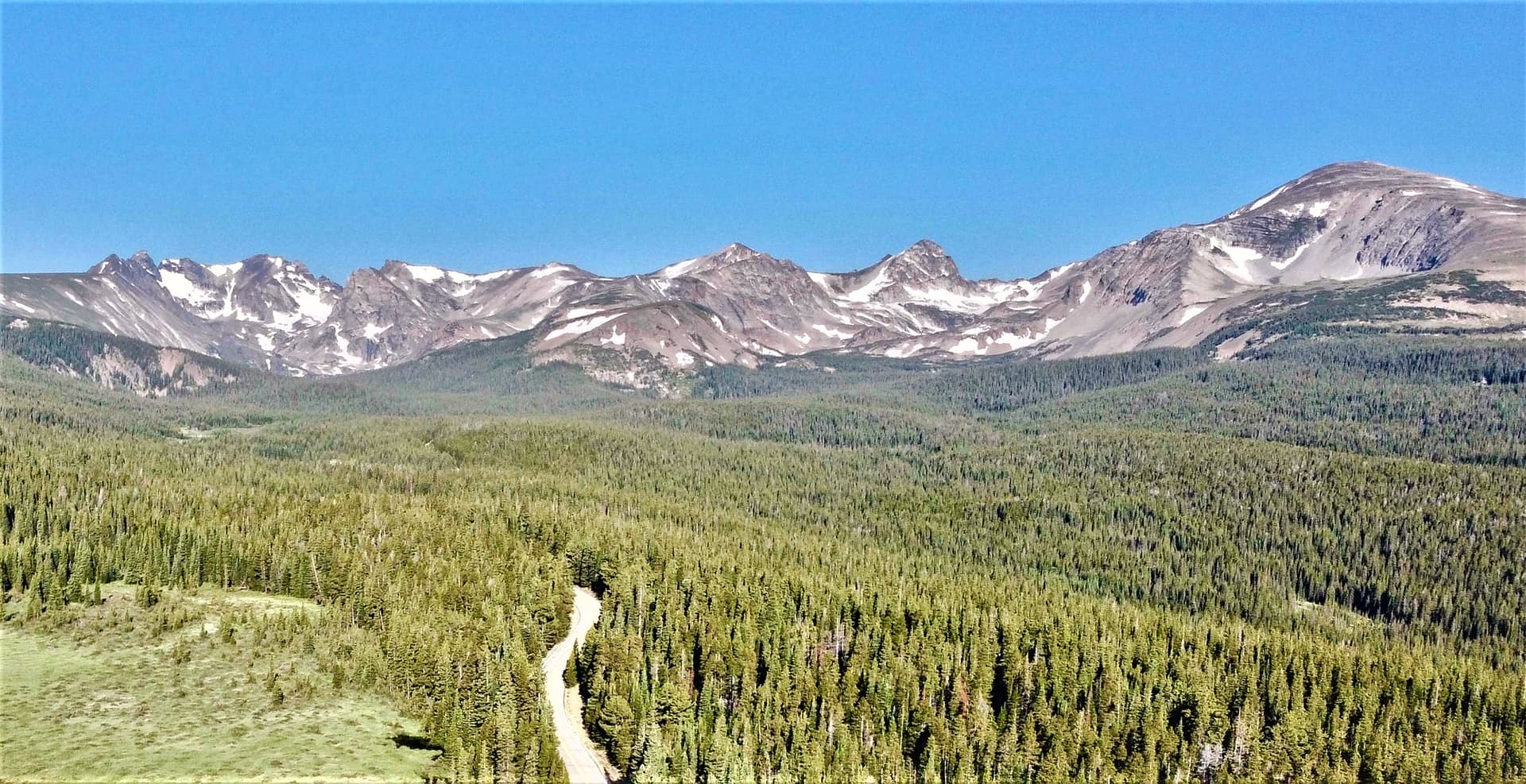
Loch Lomond is a high alpine lake at about 11,200 feet above the old mining town of Alice, a short drive off I-70 west of Idaho Springs. You can hike to it in roughly 4.7 miles round trip with about 900 feet of gain, or, for a few weeks each summer, drive a rough 4WD road nearly to the shore. The lake sits right against the James Peak Wilderness, so the same trailhead also launches one of the better 13er climbs on the Front Range.
If you're deciding whether to lace up your boots or air down your tires, this guide covers both. Here's the distance, the gate dates that decide whether you can drive, where to park when you can't, and what waits past the lake.
What You'll Learn
- Quick stats
- Where Loch Lomond is and why people go
- Getting there and parking
- Can you drive to Loch Lomond?
- The hike to the lake
- Reynolds, Steuart, and the upper lakes
- Pushing on to James Peak
- Fishing at Loch Lomond
- Best time to go
- What to bring and safety
- FAQs
Quick Stats
| Detail | Info |
|---|---|
| Trailhead | Steuart Road (NFSR 701.1), above Alice, CO |
| Nearest town | Idaho Springs, ~10 mi east |
| Trailhead elevation | ~10,300 ft (lower roadside parking) |
| Lake elevation | ~11,200 ft |
| Distance to lake | ~4.7 mi round trip (hiking from lower parking) |
| Elevation gain | ~900 ft to the lake |
| Time | 2.5 to 3 hours at a relaxed pace |
| Difficulty | Moderate |
| Upper lakes add | ~1.5 mi and ~400 ft round trip |
| James Peak option | ~9 mi round trip, ~3,000 ft gain, hard |
| Dogs | Allowed, leashed near the wilderness boundary |
| Fee | No trailhead fee; roadside parking only |
Where Loch Lomond Is and Why People Go
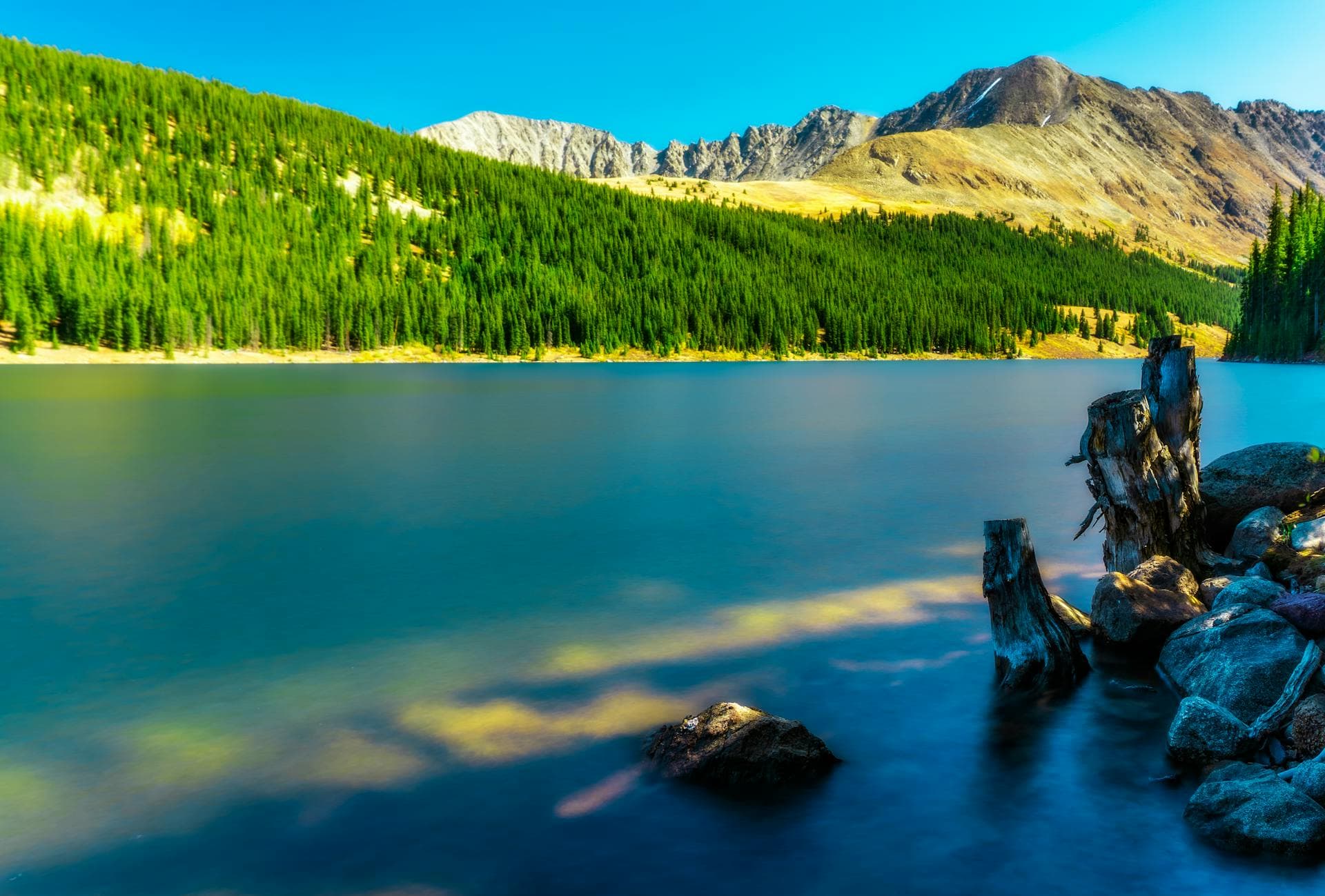
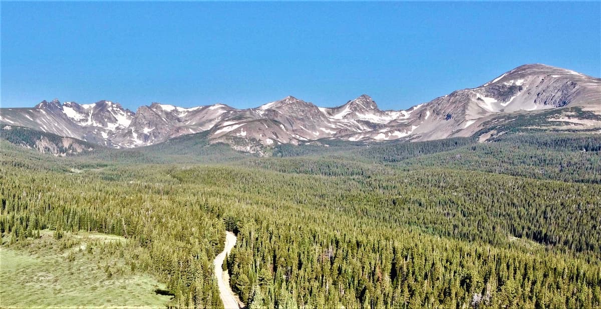
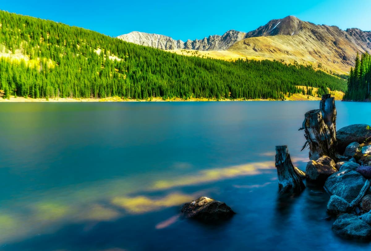
Loch Lomond sits in the Arapaho National Forest, tucked below the crest of the Continental Divide in Clear Creek County. It's a small reservoir, so the shoreline is steady even in a dry year, and the water holds a deep blue against the talus and krummholz around it. James Peak rises to the west, the divide wraps the head of the basin, and on a clear morning the whole scene reflects back off the surface.
Two things make it popular. First, it's close. You can leave Denver, reach the lake, and be back by early afternoon, which puts it in the same day-trip tier as the best day hikes near Denver. Second, it packs a lot of payoff into a short trail. You don't grind for six hours to earn an alpine view here. The lake shows up fast, and if you want more, the basin keeps going with two or three upper lakes and a route to the summit above.
The trade-off is that everyone else knows this too. The road and the roadside parking fill on summer weekends, so an early start or a weekday visit makes the difference between a quiet lake and a crowded one.
Getting There and Parking
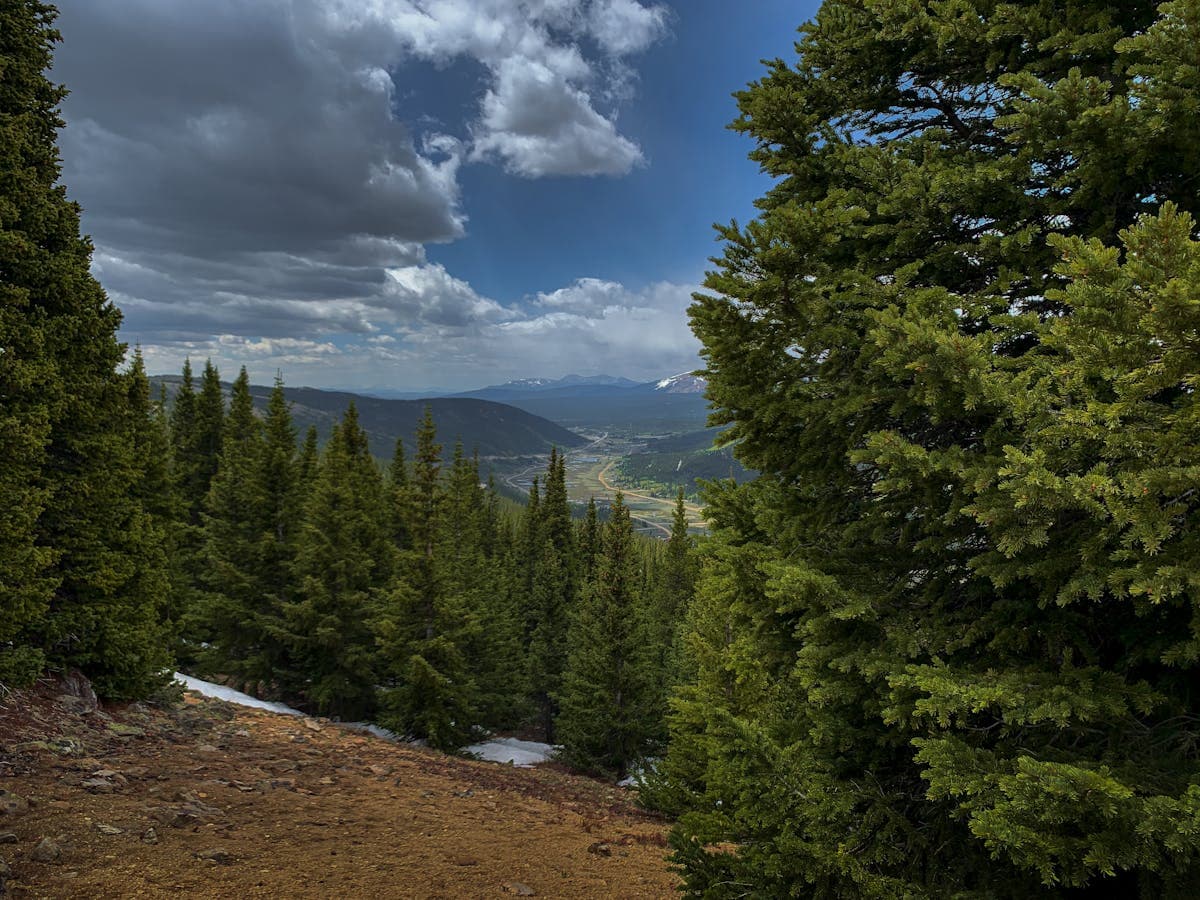
From Denver, take I-70 west to exit 238 for Fall River Road (County Road 275), a few miles west of Idaho Springs. Follow the paved county road up toward the village of Alice. After about nine miles you'll reach a cluster of intersections near Alice; turn onto Steuart Road, also signed as National Forest System Road 701. A small wooden sign on a tree points the way to Loch Lomond and James Peak.
Parking is the part people get wrong. There's no dedicated trailhead lot with painted spaces. Most hikers park along the shoulder of Steuart Road just after it leaves Alice Road, then walk or drive up from there. Alice is a residential area with private cabins, so watch for no-parking and private-drive signs and don't block anyone's access. On a busy Saturday the good pullouts are gone by 8 a.m.
One note that trips people up: this is not the St. Mary's Glacier trailhead. That lot is a mile or so away, it's private, and it charges a fee. Loch Lomond has its own approach with free roadside parking. If you want both, the nearby St. Mary's Glacier hike makes an easy pairing on the same trip.
Can You Drive to Loch Lomond?
Sometimes. Steuart Road doubles as an off-road route, so with a high-clearance 4WD or capable AWD vehicle you can drive most of the way to the lake during a short window each summer. The road is rocky, rutted, and slow, and it's shared with hikers, so it isn't a casual passenger-car drive.
The catch is the gates, and there are two:
- The lower gate is usually closed from about December 1 to June 1. That stretch of road opens for the season around early June and stays open through late November.
- The upper gate, which controls the final push toward the lake, opens later and closes earlier. Figure roughly July 16 to October 16.
So there's only a narrow slice of mid-to-late summer when both gates are open and you can drive close to the shore. Outside that window, you park where the closed gate stops you and hike the rest. Because the exact dates shift with snow and Forest Service crews, check current conditions before you count on driving in. If in doubt, plan to hike; the walk is the reliable option and it's a good one.
The Hike to the Lake
Hiking from the lower roadside parking, the round trip runs about 4.7 miles with close to 900 feet of gain. That's a moderate outing, not a grind, and most people take two and a half to three hours with photo stops.
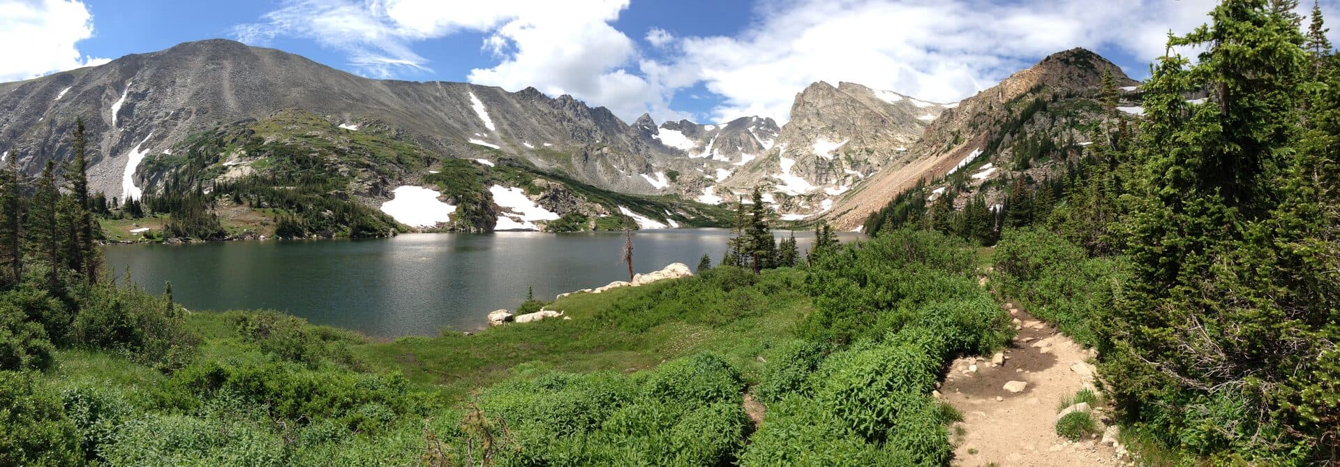
The trail is really the OHV road for the first stretch, climbing steadily through lodgepole and spruce. It's rocky underfoot, so trail runners or hiking boots with some tread beat sneakers here. As you gain elevation the trees thin, the grade eases, and the basin opens up. Loch Lomond appears at the head of the valley with peaks stacked behind it.
Give yourself time at the shore. The lake is small enough to walk partway around, and the far side gives you the classic reflection shot when the wind is calm, which usually means early. By mid-morning the breeze picks up and the surface ripples. This is also the point where a lot of hikers turn around, satisfied, and head back down. There's no shame in that; the lake is the main event. But the basin has more to give if your legs do.
Reynolds, Steuart, and the Upper Lakes
Above Loch Lomond, a rougher path continues to a chain of smaller alpine lakes: Reynolds Lake and Steuart Lake sit higher in the same drainage, with Ohman Lake beyond. Adding the upper lakes tacks on roughly a mile and a half round trip and another 400 feet of climbing.
The upper basin is quieter. Most of the crowd stops at Loch Lomond, so the walk to the higher tarns often trades the parking-lot bustle for solitude and a wilder feel. The tread gets fainter and rockier, and there's less shade, so it's more of a real alpine walk than a stroll. If you like the idea of stringing several lakes together in one basin, put this on your list of Colorado alpine lake hikes to do in a single push.
Pushing On to James Peak
For a bigger day, Loch Lomond is the launch pad for James Peak, a 13,294-foot summit on the Continental Divide. Going all the way to the top makes for a hard hike of about nine miles round trip with roughly 3,000 feet of gain, usually six to six and a half hours car to car.
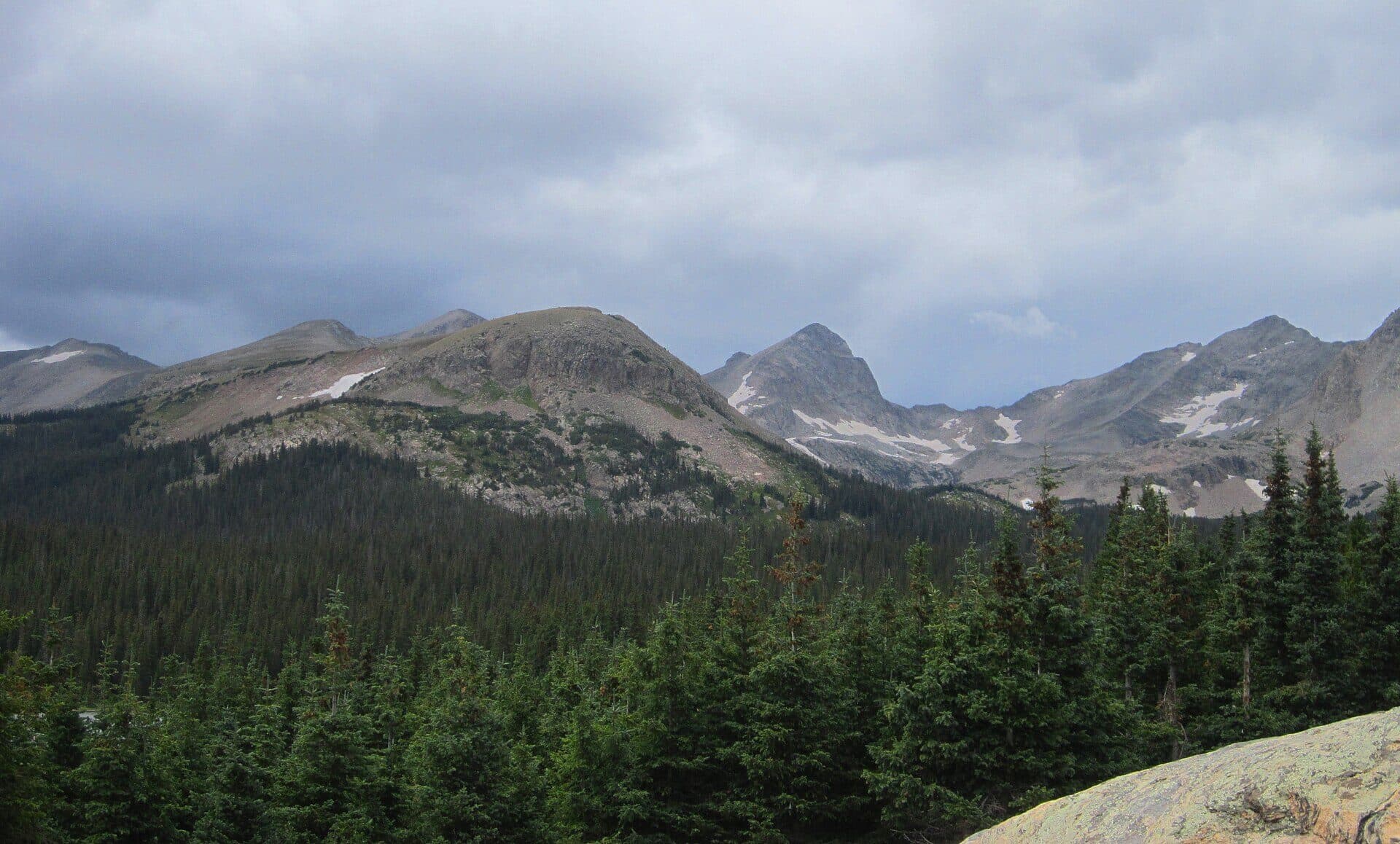
The route climbs past the upper lakes, gains the tundra shelf below the peak, and works up toward the divide, where the wind rarely quits. It's not a technical climb in summer, but it is a long day at high altitude with a lot of exposure to weather above treeline. Save it for a morning with a stable forecast and start early enough to be off the summit before afternoon storms build. If you're newer to peaks like this, read up on pacing and acclimatization in our altitude sickness guide first, because 13,000 feet punishes anyone who rushed up from sea level yesterday.
You don't have to summit to enjoy the upper basin. Turning around at the highest lake still gives you a full alpine day, and it keeps you out of the weather that tags the divide most summer afternoons.
Fishing at Loch Lomond
Loch Lomond holds trout, and with a valid Colorado fishing license you're welcome to cast from the shore. It gets pressure because it's easy to reach, so the fish see plenty of lures on a summer weekend. Anglers who want more room and less competition often continue to Reynolds Lake or Steuart Lake upstream, where the crowds thin out and the water sees fewer hooks.
Pack light if fishing is the point. A compact rod and a small box of trout fishing lures fits in a daypack without weighing you down on the climb. Bring the physical or digital copy of your license; wardens do check the popular lakes.
Best Time to Go
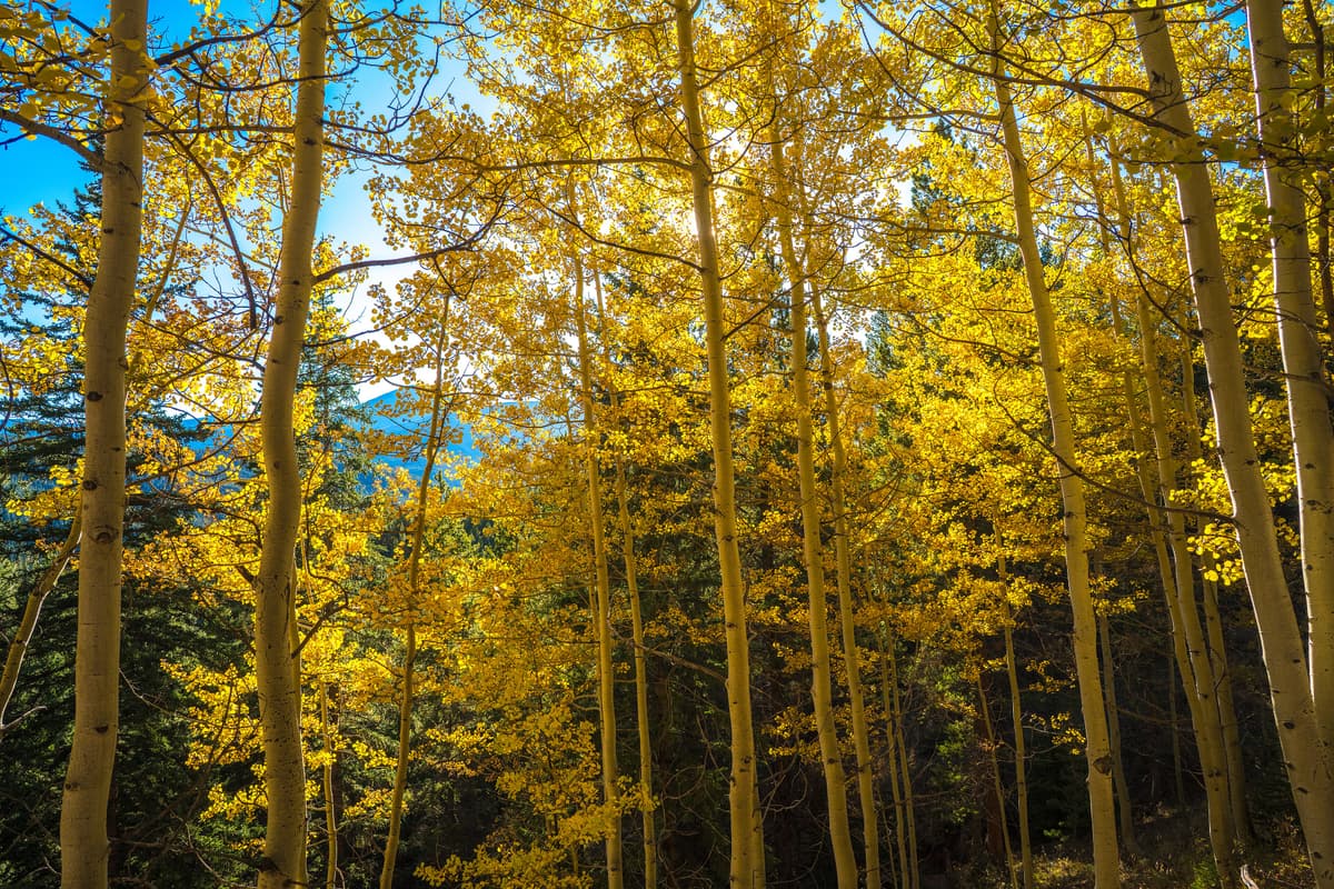
Mid-July through late September is the sweet spot. By then the snow has cleared the trail and the upper basin, wildflowers color the meadows in July and early August, and the aspens lower down turn gold in the second half of September. Fall is arguably the prettiest window, with cool air and larch-yellow slopes, though the driving option shrinks as the upper gate closes in October.
Summer mornings are your friend for another reason: afternoon thunderstorms are the rule, not the exception, in the Colorado high country. Aim to reach the lake by late morning and be heading down as the clouds build. In winter and early spring the road is gated low and the basin holds deep snow, so it becomes a snowshoe or ski tour for people with avalanche awareness, not a casual hike.
What to Bring and Safety
The lake sits above 11,000 feet, so treat it like the alpine outing it is even though the trail is short:
- Layers. It can be sunny at the car and cold and windy at the lake. A wind shell and a warm midlayer belong in your pack even in July. Our what to wear hiking guide breaks down a good layering system for Colorado's swings.
- Traction and sturdy shoes. The road-trail is rocky and can hold snow patches into early summer. Grippy footwear saves ankles.
- Water and sun protection. High-altitude sun is strong and the air is dry. Carry more water than you think you need, plus sunscreen and a hat.
- A weather plan. Check the forecast, start early, and turn around if storms build, especially if you're headed toward James Peak and the exposed divide.
- Trekking poles if your knees dislike rocky descents; a pair of trekking poles takes a lot of the sting out of the walk back down.
Cell service is spotty once you leave the highway, so tell someone your plan and download an offline map before you go.
FAQs
How long is the Loch Lomond trail?
Hiking from the lower roadside parking near Alice, it's about 4.7 miles round trip with roughly 900 feet of elevation gain, or two and a half to three hours at a relaxed pace. Adding the upper lakes bumps it up by about a mile and a half. Driving the 4WD road, when the gates are open, shortens the walk considerably.
Do you need a 4WD to get to Loch Lomond?
To drive close to the lake, yes, you need high clearance and 4WD or capable AWD, and even then only during the short summer window when both gates are open. You do not need 4WD to visit, though. Most people park along Steuart Road and hike up, which works in any vehicle.
Can you drive all the way to Loch Lomond?
Nearly, but only for a few weeks in mid-to-late summer. The lower gate typically opens around June 1 and the upper gate around July 16, closing again by mid-October. Outside that window a closed gate stops vehicles and you hike the rest of the way. Road conditions change year to year, so confirm before you rely on driving.
Is Loch Lomond the same as St. Mary's Glacier?
No. They're close neighbors above Alice and Idaho Springs, but they're separate hikes with separate trailheads. St. Mary's Glacier uses a private lot with a fee; Loch Lomond uses free roadside parking on Steuart Road. Many people do both in one trip.
Can you fish at Loch Lomond?
Yes, with a valid Colorado fishing license. The lake holds trout and is easy to reach, so it sees plenty of anglers. For more room and less pressure, walk up to Reynolds or Steuart Lake in the basin above.
Loch Lomond gives you a real alpine lake without a real alpine slog, and it hands you options: turn around at the shore, string together the upper lakes, or commit to James Peak on the divide. Start early, respect the parking in Alice, and watch the afternoon sky. For more short, high-payoff outings close to the Front Range, browse our roundup of Colorado alpine lake hikes.
Get the Colorado 14er Packing Checklist (free PDF)
Plus a weekly note on the best Colorado trails, gear deals, and seasonal hike picks. No spam, unsubscribe anytime.
We respect your inbox. Unsubscribe anytime.