James Peak Hike: Route, Trailhead, and What to Expect (2026)
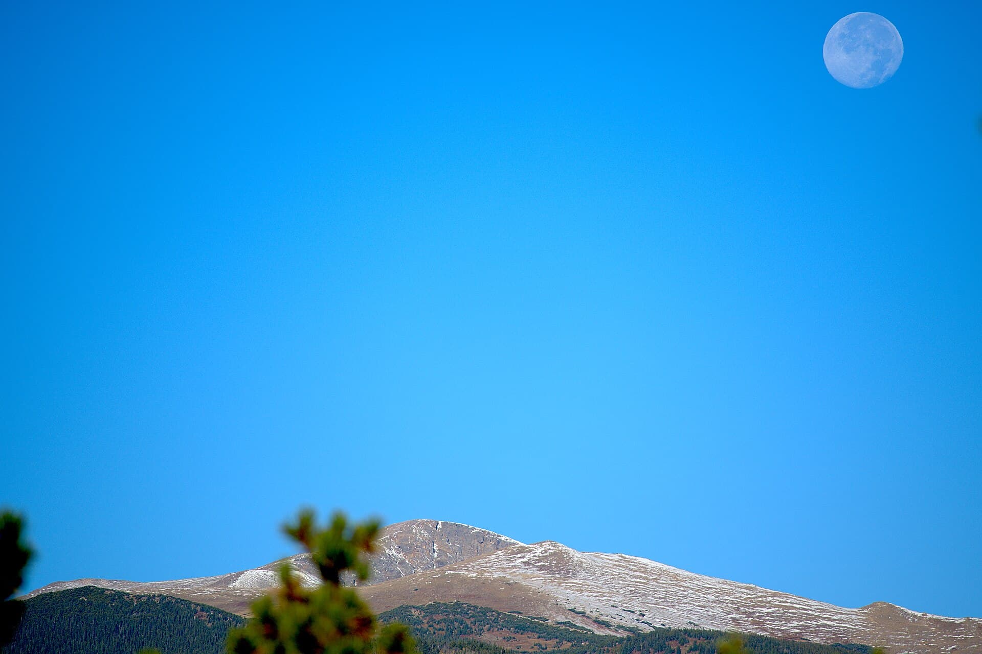
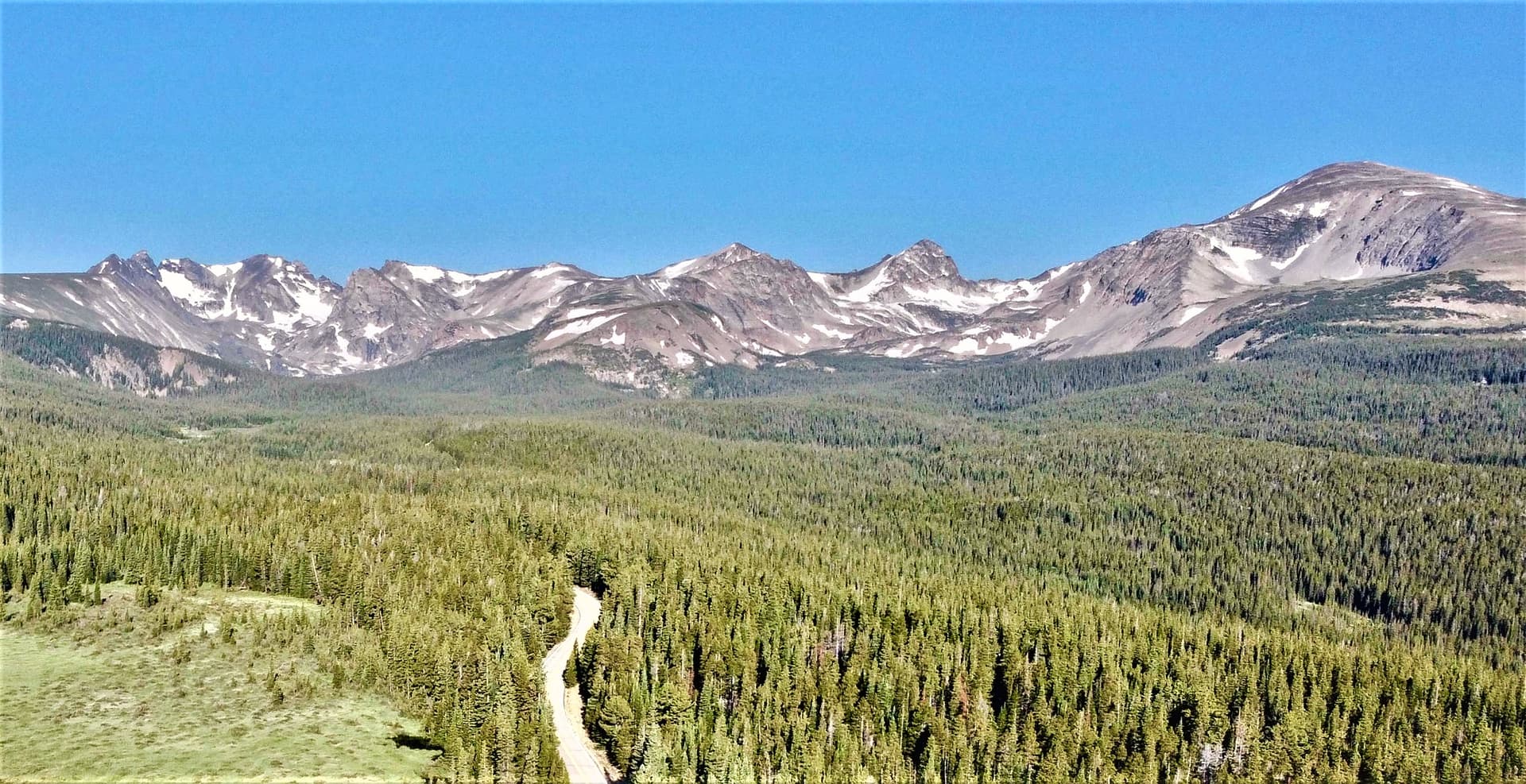
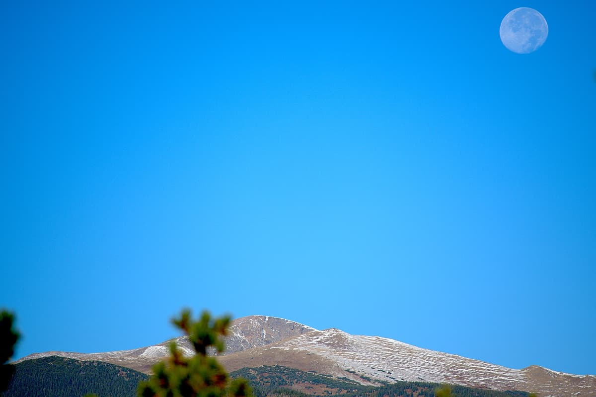
The James Peak hike is one of the highest summits you can reach on a day trip from Denver without technical climbing gear. The most common route starts at the St. Mary's Glacier trailhead above Idaho Springs, climbs past a year-round snowfield, and follows the Continental Divide north to a flat 13,294-foot top. Round trip runs about eight miles with roughly 3,200 feet of gain. It's a Class 2 walk-up, meaning steep grades and loose talus but no ropes.
That combination puts James Peak in a sweet spot. It sits just under 14er height, so it draws far smaller crowds than Grays or Bierstadt, yet the summit views stretch across the Indian Peaks, the Winter Park side of the divide, and the Front Range foothills. Here's everything you need to plan the day.
What You'll Learn
- Quick stats
- Getting to the trailhead
- The James Peak hike, step by step
- How hard is the James Peak hike
- When to hike James Peak
- What to bring
- Wildlife and wildflowers
- Weather and lightning
- Frequently Asked Questions
Quick Stats
| Detail | Info |
|---|---|
| Summit elevation | 13,294 ft |
| Trailhead | St. Mary's Glacier, Fall River Road |
| Trailhead elevation | ~10,400 ft |
| Distance | ~8 mi round trip |
| Elevation gain | ~3,200 ft |
| Difficulty | Class 2, strenuous |
| Time | 5 to 7 hours |
| Parking | Private lot, $20 cash (2026) |
| Dogs | Allowed on leash |
| Best season | Mid-July through September |
| Wilderness | James Peak Wilderness |
Getting to the Trailhead
James Peak's standard route uses the same trailhead as the popular St. Mary's Glacier hike, so the drive is straightforward. From Denver, take I-70 west to exit 238 at Fall River Road. Turn north and follow the road about nine miles as it climbs from pavement onto packed dirt. Any car handles it in dry conditions; a low sedan struggles in mud or fresh snow.
The trailhead sits at the edge of the Alice neighborhood near 10,400 feet. Parking is privately owned, and as of 2026 the rate is $20 cash per vehicle in an honor-system lot with a yellow drop box. There's no card reader and no app, so bring exact bills. Roadside parking signs threaten towing, and the operator follows through. Pay the fee or pick a different hike.
There are no restrooms at the trailhead. The closest bathrooms are back down in Idaho Springs, so plan accordingly before you drive up.
The James Peak Hike, Step by Step
From the lot, the trail heads north on a wide, rocky old road grade. Loose baseball-sized rocks and drainage channels make the footing awkward, so sturdy shoes matter more than fancy boots here. In about 0.7 miles you'll crest a rise and reach St. Mary's Lake, with the broad white snowfield people call the glacier rising behind it.
Skirt the lake on the right and climb the slope beside the snowfield. This is the steepest sustained pitch of the lower route, gaining a few hundred feet over loose rock. Early in the season you may be walking directly on firm snow, which is why James Peak is a favorite spring snow climb. By August the trail beside the snow is mostly dry.
At the top of the snowfield, around 11,000 feet, the terrain flattens into a wide alpine basin on the east side of the Continental Divide. From here the route is a long, gradual grind across tundra toward the ridge. Cairns mark the general line, but the tundra is open and the walking is more about pacing than route-finding. Stay on rock and durable ground where you can; the alpine plants take decades to recover from trampling.
The final push climbs the broad east ridge to the summit plateau. The grade steepens and the surface turns to loose talus for the last stretch. Take your time on the rock, especially if it's wet. The true summit is a flat, rocky expanse, so once you top out, walk to the western edge for the drop-off view toward Winter Park and the James Peak Lake basin far below.
Strong hikers sometimes continue north along the divide toward Parry Peak and the rest of the James Peak group, but that turns a long day into a much longer one. For most people, James Peak alone is the goal, and the return retraces the same route back to the glacier and down to the lot.
How Hard Is the James Peak Hike
James Peak is rated Class 2, which puts it in the same category as walk-up 14ers like Grays Peak and Mount Bierstadt. You'll use your hands for balance on the upper talus, but there's no exposed scrambling and no technical climbing on the standard route.
The real difficulty is altitude and total gain. You start high, at 10,400 feet, and finish above 13,000 feet, so the thin air works against you the entire way. Roughly 3,200 feet of gain over four miles one direction is a steady, honest climb. If you live at sea level, spend a night or two at Front Range altitude first and drink more water than feels necessary. Headache, nausea, and dizziness are signs to slow down or turn around.
Because it tops out under 14,000 feet, James Peak makes a smart training objective before you tackle the state's biggest summits. If you're building toward that, our guide to the easiest 14ers in Colorado for beginners is a good next read, and the broader Colorado 14ers guide covers how the ranking system works.
When to Hike James Peak
Mid-July through September is the friendliest window for a dry-ground hike. By then most of the winter snow has melted off the standard route, the tundra wildflowers are out, and the trail beside the glacier is walkable without traction.
May and June turn James Peak into a snow climb. The snowfield above St. Mary's Lake stays firm, and experienced hikers use an ice axe and traction to kick steps up it. If you're not comfortable self-arresting on snow, wait for later in the summer.
October through April is a serious winter undertaking. Short days, deep snow, brutal wind on the divide, and avalanche terrain on some approaches all raise the stakes well past a casual outing. Save it for people with winter mountaineering experience.
Whatever the month, the divide is windy. A calm parking lot can sit below a ridge that's getting hammered by 40 mph gusts, so pack a windproof layer even on a warm forecast.
What to Bring
The gear list for James Peak is the standard Colorado high-country kit, with a little extra weight toward wind and sun protection because so much of the route is above treeline.
- Traction and poles. Early season or a lingering snow year calls for microspikes, and trekking poles save your knees on the loose talus descent. Our picks are in the best microspikes and best trekking poles guides.
- Rain and wind shell. Afternoon storms are the norm. A packable rain jacket doubles as your windbreaker on the ridge. See the best rain jackets for Colorado hiking.
- Footwear. The rocky lower grade and upper talus reward supportive hiking boots. We break down the options in the best hiking boots guide.
- Sun protection. At this elevation the sun is fierce. Bring a brimmed hat, sunglasses, SPF 50, and sunscreen you actually reapply.
- Water and food. Carry at least two to three liters and more calories than a lower hike, since altitude burns through your energy fast.
- Headlamp. For the pre-dawn start you'll want to beat the storms, a headlamp is not optional. Our headlamp picks cover the range.
Wildlife and Wildflowers
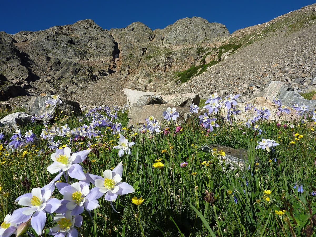
The basin below James Peak sits inside the James Peak Wilderness, and the tundra comes alive in mid-summer. Alpine sunflowers, sky pilot, and the blue-and-white Colorado columbine bloom across the meadows from mid-July into early August. The columbine is the state flower, and you'll find it tucked among the rocks along the lower trail and in the wilderness basins to the north.
Keep an eye out for marmots sunning on the boulders and pikas darting between rocks with mouthfuls of grass. Ptarmigan blend so well into the tundra that you often hear them before you see them, and mountain goats occasionally cross the higher ridges. Give any wildlife plenty of room, and never feed the marmots near the lake, no matter how bold they get around backpacks.
If alpine basins and glacier-fed lakes are your thing, the same corner of the Front Range holds several more. Our roundup of the best alpine lakes in Colorado and the list of best day hikes near Denver point you toward nearby options for shorter days.
Weather and Lightning
The single most important rule on James Peak: be off the summit and heading down by noon, ideally earlier. Colorado's afternoon thunderstorms build over the Continental Divide almost daily from late June through August, and the entire upper route is exposed tundra and ridge with no shelter. Lightning has killed hikers on this ridge. That's not a scare tactic; it's the reason experienced locals start before sunrise.
Plan a start at the trailhead between 5 and 6 a.m. so you summit by 9 or 10 and have a comfortable margin to descend. Watch the clouds, and if they start stacking up and darkening, turn around. The peak will still be there next weekend.
Even without storms, the divide throws weather at you. Temperatures on the summit can run 25 to 30 degrees colder than the parking lot once you factor in wind chill. Layer up, and don't count on cell service for a forecast once you leave the highway.
Frequently Asked Questions
How long is the James Peak hike?
The standard route from the St. Mary's Glacier trailhead is about eight miles round trip with roughly 3,200 feet of elevation gain. Most hikers finish in five to seven hours, including breaks and time on the summit.
Is the James Peak hike hard?
It's strenuous but non-technical. James Peak is a Class 2 walk-up, so you'll deal with steep grades, loose talus, and high altitude, but no ropes or exposed scrambling. The thin air and 3,200 feet of gain are the main challenge.
Do you need a permit to hike James Peak?
No permit is required to hike James Peak. You do pay a private parking fee at the St. Mary's Glacier trailhead, which is $20 cash per vehicle as of 2026. There's no reservation system for the trail itself.
Is James Peak a 14er?
No. James Peak tops out at 13,294 feet, which makes it a "13er." It sits close to 14er height, so the effort feels similar, but it draws smaller crowds than the nearby 14ers like Grays Peak and Mount Bierstadt.
What is the best time of year to hike James Peak?
Mid-July through September gives you the best shot at dry ground, blooming wildflowers, and a snow-free route. May and June are a snow climb best left to hikers with an ice axe and traction, and winter is a serious mountaineering objective.
Final Thoughts
James Peak rewards a big effort with a summit view most people never earn, and it does it within a short drive of Denver. The route is simple to follow, the trailhead is easy to reach, and the payoff on a clear morning is worth every one of those 3,200 vertical feet.
Get an alpine start, watch the sky, pace yourself for the altitude, and respect the loose talus on the way down. If you want to warm up on the same trailhead first, spend a morning on the St. Mary's Glacier hike, then come back for the full ridge to the top.
Get the Colorado 14er Packing Checklist (free PDF)
Plus a weekly note on the best Colorado trails, gear deals, and seasonal hike picks. No spam, unsubscribe anytime.
We respect your inbox. Unsubscribe anytime.