Boulder Canyon Trail: A Hiking Guide to Boulder's Easiest Canyon Walk
The Boulder Canyon Trail is the rare Colorado hike you can do in running shoes, with a stroller, or on a bike, and still feel like you've left the city behind. It runs about 2.6 miles one way along Boulder Creek as the water tumbles out of the canyon, with only 335 feet of elevation gain start to finish. The trailhead sits right at the western edge of downtown Boulder, it's free, and it's open year round. If you want canyon scenery without a lung-busting climb, this is the one.
Here's everything you need to plan the walk, plus the bigger hikes and the famous waterfall waiting farther up the canyon.
What You'll Learn
- Trail Stats and Quick Facts
- How to Get to the Boulder Canyon Trailhead
- Where to Park
- What to Expect on the Trail
- Is the Boulder Canyon Trail Hard?
- Best Time to Hike Boulder Canyon
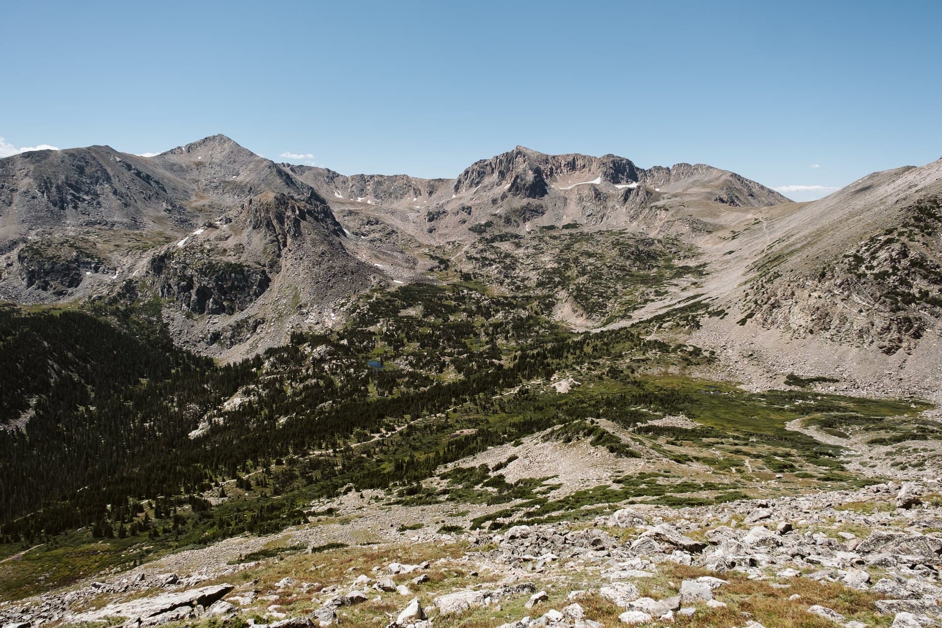
- Boulder Falls and Bigger Hikes Up the Canyon
- What to Bring
- Hiking Boulder Canyon with Dogs and Kids
- Frequently Asked Questions
Trail Stats and Quick Facts
Before you head out, here's the shape of the hike:
- Distance: 2.6 miles one way (about 5.2 miles round trip)
- Elevation gain: roughly 335 feet
- Starting elevation: about 5,470 feet
- High point: about 5,800 feet
- Difficulty: easy
- Time: 2 to 3 hours round trip on foot, well under an hour by bike
- Surface: paved for the first half mile, then crushed gravel
- Fee: none
- Dogs: allowed on leash
- Uses: hiking, running, biking, all on the same path
- Managed by: Boulder County and the City of Boulder
This isn't a summit hike and it won't wear you out. The appeal is the setting. You're walking next to a fast-moving creek with canyon walls rising on both sides, and you barely climb the whole way. It's one of the most beginner-friendly options in the Boulder area, and it works just as well as an evening leg-stretcher as it does a half-day outing.

How to Get to the Boulder Canyon Trailhead
The eastern trailhead is at the mouth of Boulder Canyon, right where Canyon Boulevard turns into Boulder Canyon Drive (Highway 119) at the west end of town. The GPS coordinates are roughly 40.0123 N, 105.3021 W. Search "Eben G. Fine Park" in your maps app and you'll land within a couple hundred yards of the start.
From downtown Boulder it's about a five-minute drive or a flat, easy bike ride straight up Canyon Boulevard. From Denver, figure about 45 minutes up US 36. Because the trail starts in town, you don't have to drive a forest road or worry about a high-clearance vehicle. That's a big part of why people love it.
The trail runs west, upstream, paralleling the creek and the highway. The eastern end ties into the City of Boulder's Boulder Creek Path, so you can actually link it to a much longer car-free walk back through town. The western end comes out near Orodell and connects to the Chapman Drive Trailhead, which climbs toward Flagstaff Mountain if you want to keep going.
Where to Park
Parking is the only tricky part of this hike, so plan for it.
- Eben G. Fine Park has a free lot at the canyon mouth. It's the most convenient spot, and it fills up fast on summer weekends and warm evenings. Get there before 9 a.m. on a Saturday or expect to circle.
- Downtown Boulder lots and street parking let you start farther east and walk or ride the Boulder Creek Path to the trail. This adds distance but it's flat and pleasant.
- The Orodell area at the west end has a small amount of roadside parking near the Chapman Drive Trailhead. Spaces are limited and the highway shoulder is narrow, so be careful pulling in and out.
There's no parking fee at any of these, which is a nice change from many Front Range trailheads. If the lot at Eben G. Fine is jammed, the smartest move is to leave the car downtown and treat the creek path as your warmup.
What to Expect on the Trail
The hike has two distinct personalities, and the switch happens about half a mile in.
The Paved Opening
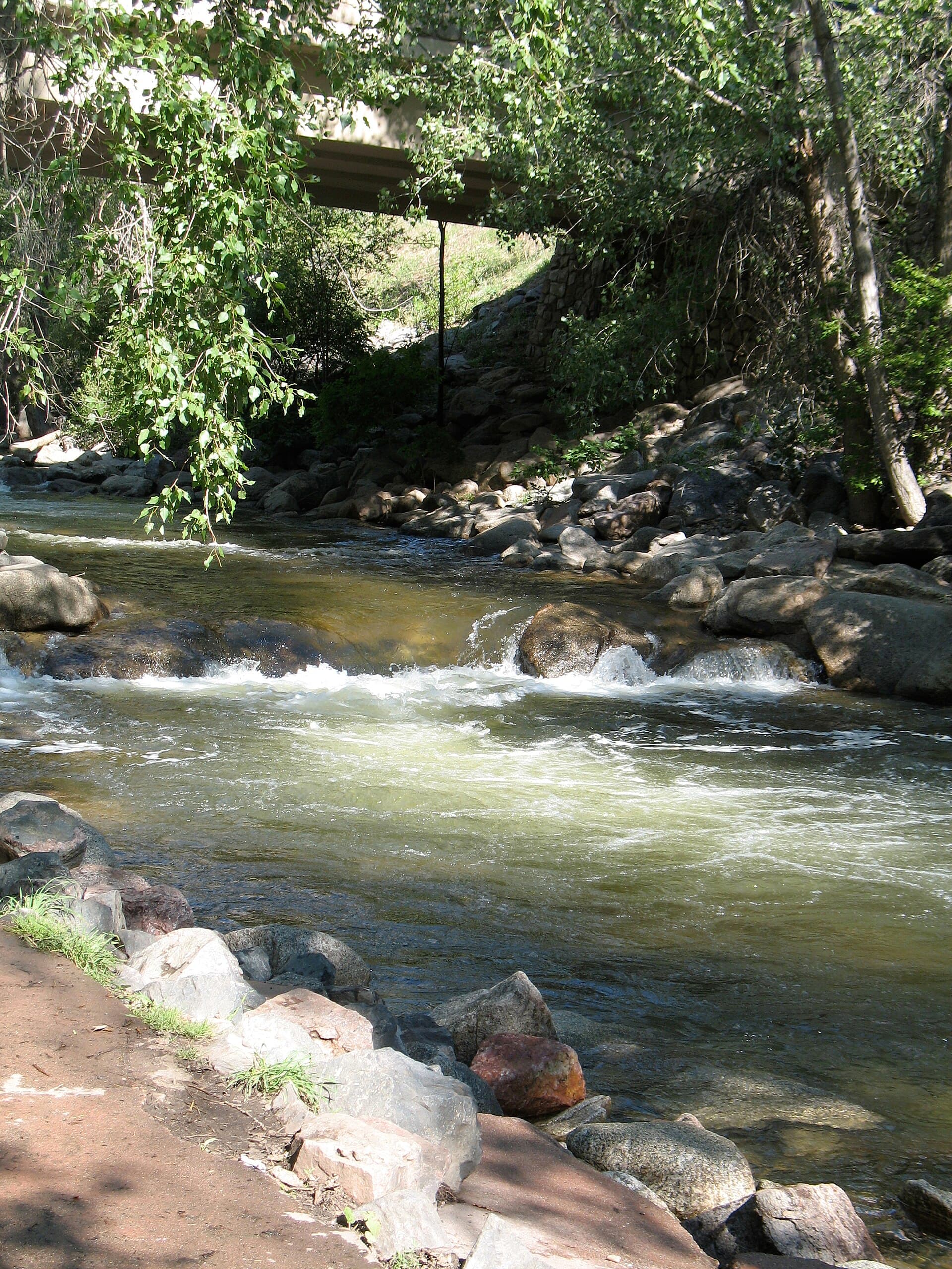
The first half mile is a six-foot-wide paved path. It's smooth, mellow, and genuinely accessible for strollers, wheelchairs, and road bikes. You'll have the creek on one side and the canyon walls climbing on the other. This stretch alone is worth it if you just want a quick, pretty walk close to town.
At the end of the paved section, the trail dips through an underpass below Boulder Canyon Drive. That underpass keeps you off the highway, which matters because Boulder Canyon Drive carries steady traffic up to the mountain towns.
The Gravel Section
After the underpass, the path turns to crushed gravel and the scenery gets wilder. The canyon narrows, the creek picks up speed, and you'll pass granite walls that draw rock climbers from all over. Boulder Canyon is one of the most popular climbing areas in the state, so don't be surprised to see ropes, helmets, and people clinging to the cliffs above you.

The gravel runs gently uphill the rest of the way to Orodell. You're never far from the water, and in spring and early summer the creek roars with snowmelt. The grade stays so gentle that most people don't notice they're climbing at all. When you reach the western end, you can turn around, or push on up Chapman Drive for a real workout.
Is the Boulder Canyon Trail Hard?
No. This is one of the easiest real trails in the Boulder area. With only 335 feet of gain spread over 2.6 miles, the climb is barely perceptible, and the surface is smooth the whole way. If you can walk a few miles on flat ground, you can do this.
That said, two things still deserve respect. First, the elevation. You're starting around 5,470 feet, which is high enough to leave visitors from sea level a little winded. It's nowhere near 14er territory, but if you just flew in, take it easy and drink extra water. Our guide to altitude sickness in Colorado covers what to watch for.
Second, the trail is busy and shared. Cyclists move fast on the paved section, runners come through, and dogs are everywhere. Keep right, pass on the left, and stay aware. It's a social trail more than a solitude trail, especially on weekends.
If you're brand new to hiking out here, this makes a great first outing. Pair it with our Colorado hiking beginner's guide and you'll be ready for bigger trails in no time.
Best Time to Hike Boulder Canyon
The short answer: any time. The low elevation means this trail is one of the few in the area you can reasonably hike all twelve months. Here's how the seasons break down.
Spring (March through May): The creek is at its loudest as snowmelt pours down from the high country. The paved section clears of snow early, and you'll catch the canyon greening up. Great shoulder-season pick when higher trails are still buried.
Summer (June through August): Prime time, and prime crowds. Mornings and evenings are best to dodge both the heat and the parking crush. The canyon throws shade for part of the day, which helps. See more warm-weather options in our summer hikes guide.
Fall (September through November): Maybe the nicest season here. The crowds thin, the cottonwoods along the creek turn gold, and the temperatures are perfect. If you want a longer fall outing nearby, the Flatirons put on a show too.
Winter (December through February): Totally doable. The paved section often stays clear, and the gravel can be packed snow or ice. Bring traction for your shoes and you'll have the canyon nearly to yourself.

Boulder Falls and Bigger Hikes Up the Canyon
A lot of people searching for a "Boulder Canyon hike" are actually picturing the waterfall and the bigger trails deeper in the canyon, not just the creekside path. Here's what's up there.
Boulder Falls is the headliner. It's a 70-foot waterfall about 11 miles up Boulder Canyon Drive (Highway 119) from town. The walk to the falls is tiny, around 100 yards from the roadside pullout, so it's not really a hike at all. The catch: Boulder Falls has closed for stretches over the years because of rockfall hazard above the trail. Check the City of Boulder's current status before you drive up, and never climb past the barriers when it's closed. When it's open, it's one of the most accessible waterfalls in Colorado.
Castle Rock is the big granite tower you'll spot along the canyon drive, a landmark for climbers and an easy photo stop. You don't hike to it so much as pull over and look up.

Chapman Drive picks up where the Boulder Canyon Trail ends near Orodell. It's an old roadbed, now a trail, that climbs about 3 miles up to Flagstaff Mountain. This is where you go when the flat creek walk leaves you wanting more vertical. From the top you can connect into the whole Flagstaff and Green Mountain trail network for a much bigger day.
For peak-bagging and longer loops, the rest of the trails near Boulder deliver everything from Mount Sanitas to the Flatirons. The Boulder Canyon Trail is the gentle introduction to a region packed with serious hiking.
What to Bring
You don't need much for this one, which is part of the charm. Still, a few basics make it better:
Water: Even an easy mile burns through more fluid than you'd think at this elevation and in dry Colorado air. Bring a bottle or a hydration pack and sip as you go.
Comfortable shoes: The paved and gravel surface is easy on the feet, so you don't need heavy boots. A pair of trail runners or light hikers is plenty. Save the full boots for the rockier trails up the canyon.
Sun protection: The canyon throws shade in spots, but you're still at altitude with strong UV. Pack a hat and sunglasses and wear sunscreen.
A light layer: The canyon can feel ten degrees cooler than town, especially near the water and in the shade. A packable jacket covers you on breezy days.
Trekking poles (optional): You won't need them on the flat, but if you're continuing up Chapman Drive, a pair of trekking poles helps on the descent.
That's it. No permits, no special gear, no big logistics. Grab water and go.
Hiking Boulder Canyon with Dogs and Kids
This trail is a winner for families and dog owners.
Dogs are welcome but must stay on leash, and you should pack out waste, which means bringing bags. The creek is right there, so your dog can cool off, but watch the current in spring. Snowmelt makes Boulder Creek fast and cold, and it's stronger than it looks. Keep dogs and kids back from the edge during high water.
For kids, the paved opening section is ideal. Strollers roll easily, the creek keeps little ones entertained, and you can turn around whenever energy runs out. Older kids will like watching the climbers on the canyon walls past the underpass. It's a low-pressure way to get the whole family on a Colorado trail without driving for hours or tackling real elevation.
Frequently Asked Questions
How long is the Boulder Canyon Trail?
The Boulder Canyon Trail runs about 2.6 miles one way, or roughly 5.2 miles round trip. It climbs only about 335 feet over that distance, so it's an easy, mostly flat walk along Boulder Creek from the canyon mouth to the Orodell area.
Is the Boulder Canyon Trail paved?
Partly. The first half mile from the eastern trailhead is a six-foot-wide paved path, friendly to strollers and bikes. After an underpass beneath Boulder Canyon Drive, the surface switches to crushed gravel for the rest of the way west.
Where does the Boulder Canyon Trail start?
It starts at the mouth of Boulder Canyon at the west edge of downtown Boulder, near Eben G. Fine Park where Canyon Boulevard becomes Highway 119. The eastern end also connects to the City of Boulder's Boulder Creek Path.
Are dogs allowed on the Boulder Canyon Trail?
Yes, dogs are allowed but must be kept on leash, and owners need to pick up and pack out waste. Watch the creek in spring, when fast, cold snowmelt makes the water dangerous for pets and kids near the bank.
Is Boulder Falls open?
It depends. Boulder Falls, about 11 miles up the canyon on Highway 119, has closed at times because of rockfall hazard above the trail. Check the City of Boulder's current trail status before you go, and respect any closures or barriers.
Plan Your Boulder Day
The Boulder Canyon Trail is the easiest way to put a canyon and a creek into your day without the climb. It's free, it's open year round, and it works for everyone from toddlers to dogs to road bikers. Do the flat creekside walk, then drive up to see Boulder Falls or push onto Chapman Drive when you want more. When you're ready to level up, our roundup of the best hikes near Boulder has trails for every ability.
Get the Colorado 14er Packing Checklist (free PDF)
Plus a weekly note on the best Colorado trails, gear deals, and seasonal hike picks. No spam, unsubscribe anytime.
We respect your inbox. Unsubscribe anytime.