Rainbow Trail, Colorado: A Complete Guide to the 113-Mile Sangre de Cristo Path
The Rainbow Trail is a 113-mile path that traces the eastern base of Colorado's Sangre de Cristo Mountains, from near Poncha Pass in the north down toward the Great Sand Dunes in the south. It's one of the oldest long-distance trails in the country, built back in 1912, and you don't have to hike all of it to love it. Most people tackle short sections as day hikes or use the trail as a launch point into the high country. Hikers, mountain bikers, horseback riders, and dirt bikers all share it, which makes it one of the more flexible routes in the state.
Here's everything you need to plan a trip, whether you want a two-hour stroll near Westcliffe or a multi-day backpacking push.
What You'll Learn
- Rainbow Trail Quick Facts
- Where Is the Rainbow Trail?
- How Long Is the Rainbow Trail?
- Best Day Hikes and Sections
- How to Reach the Trailheads
- Can You Mountain Bike or Ride Motorcycles on the Rainbow Trail?
- When Is the Best Time to Hike?
- What to Bring
- Gateway to the Sangre de Cristo Wilderness
- Frequently Asked Questions
Rainbow Trail Quick Facts
Before we get into the details, here's the shape of the trail:
- Total length: about 113 miles (Forest Trail 1336)
- Total elevation gain end to end: roughly 18,900 feet
- Location: San Isabel National Forest, eastern Sangre de Cristo Mountains
- Counties crossed: five, across three Forest Service ranger districts
- Built: 1912
- Uses: hiking, mountain biking, horseback riding, motorcycles/dirt bikes
- Not allowed: ATVs and other four-wheeled vehicles
- Fee: none
- Dogs: allowed (leash recommended near trailheads and wilderness boundaries)
You can hike it as a thru-trip that takes a week or more, but the smarter play for most visitors is to pick a section that matches your time and fitness.

Where Is the Rainbow Trail?
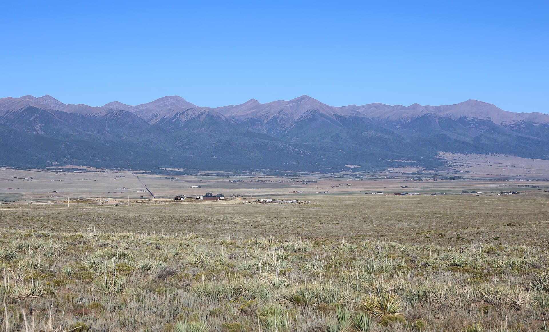
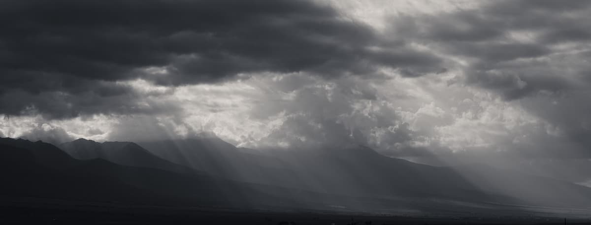
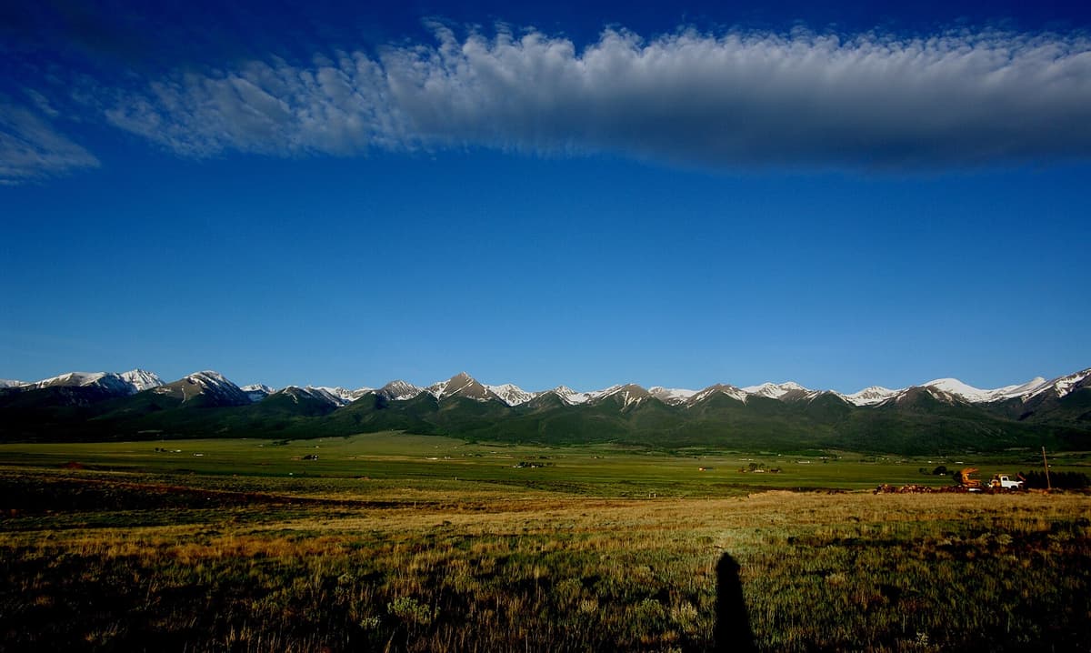
The Rainbow Trail sits in south-central Colorado, running along the eastern foot of the Sangre de Cristo Mountains. The range is long and narrow, and the trail hugs its base like a contour line. Two towns serve as the main gateways.
To the north, Salida is your hub. It's a riverside town on US-50 with plenty of food, lodging, and gear shops, and several Rainbow Trail access points sit just south and west of it. To the south, Westcliffe and Silver Cliff anchor the Wet Mountain Valley, a quiet high-altitude basin with some of the darkest night skies in Colorado. From either town you're within a short drive of a trailhead.
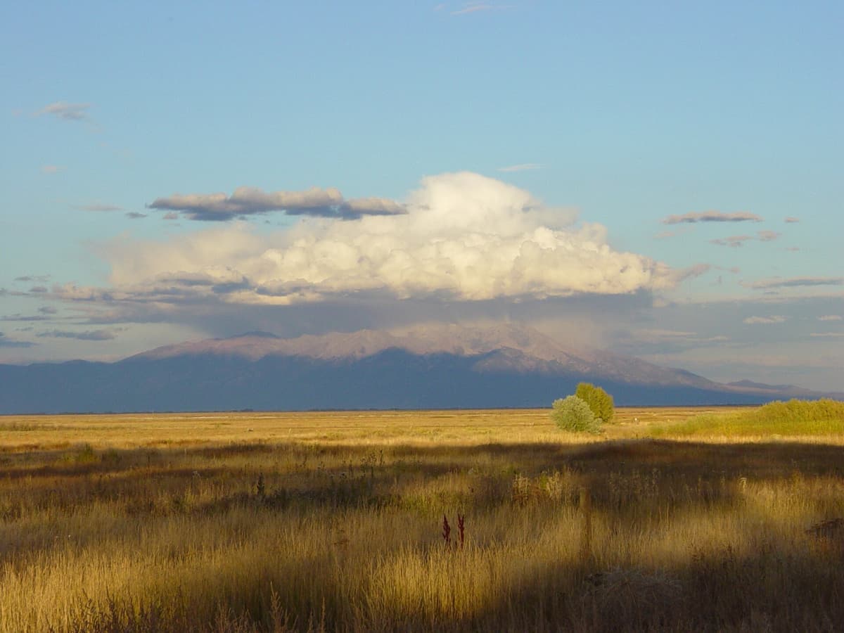
The trail starts in the north off US-285 near Poncha Pass and Mears Junction, then works south, skirting the Sangre de Cristo Wilderness and ending near the Music Pass area above the Great Sand Dunes. If you're already planning a southern Colorado trip, it pairs well with a visit to Great Sand Dunes National Park.
How Long Is the Rainbow Trail?
The full trail covers about 113 miles. That number surprises people, because the Rainbow Trail doesn't get the attention the Colorado Trail or the Continental Divide Trail get, yet it's in the same length conversation. End to end, you'll climb close to 18,900 feet, since the path rolls in and out of every drainage coming off the range.
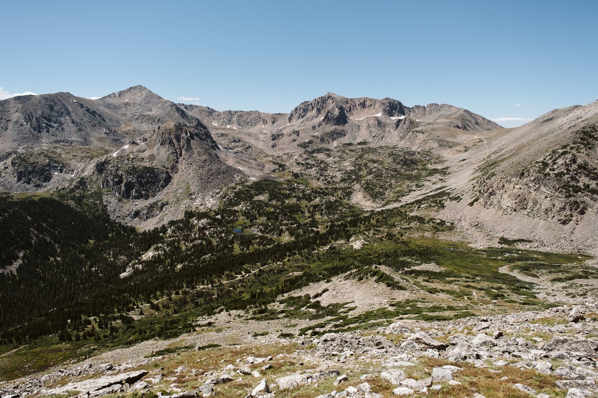
Almost nobody starts at one end with the goal of walking all 113 miles in one go, though. The trail's real value is access. It runs roughly parallel to the mountains at around 8,500 to 10,000 feet, and dozens of spur trails branch uphill from it toward alpine lakes, waterfalls, and 14,000-foot peaks. You hike the flat-ish Rainbow Trail to reach a junction, then turn uphill for the scenery. That structure is why so many trip reports describe a "Rainbow Trail hike" that's really just a two or three mile out-and-back to a single feature.
Best Day Hikes and Sections
You can sample the Rainbow Trail in an afternoon. These are the sections people return to.
Crystal Falls (near Westcliffe). This is the crowd favorite for a reason. A short, family-friendly walk off the Rainbow Trail leads to a tumbling waterfall, and it's one of the easiest payoffs on the whole route. Great for a half-day or a hike with kids.
Mears Junction to Hayden Creek (near Salida). A longer northern stretch, roughly 14 miles point to point if you arrange a shuttle, with steady climbing and big valley views. Strong day hikers and trail runners like this segment, and it's popular with mountain bikers too.
Hayden Creek area. Hayden Creek has a Forest Service campground, which makes it an easy base. From here you can do an out-and-back of whatever length you want, since the trail just keeps going in both directions.
Spur hikes to alpine lakes. Many of the range's named lakes sit at the top of trails that begin or cross at the Rainbow Trail. If you've got the legs and the lungs, these turn a flat warm-up into a full alpine day.
The beauty of the setup is that you decide the distance. Park at a trailhead, walk until you've had enough, and turn around. There's no summit you're obligated to reach.
How to Reach the Trailheads
There's no single Rainbow Trail trailhead. Instead, a series of access points connect to it along its length. A few of the reliable ones:
- Bear Creek / CR 101 (east of Salida): one of the most-used northern entries, with parking and a quick connection to the main trail.
- Hayden Creek Campground: off US-50 between Salida and Cotopaxi, then south on the access road. Camp and hike from the same spot.
- Lake Creek and Gibson Creek (Wet Mountain Valley): west of Westcliffe, these put you on the southern half near the wilderness spurs.
- Music Pass area (far south): the rugged southern terminus near the Great Sand Dunes side, better suited to high-clearance vehicles.
Some access roads are graded dirt and a few get rough near the upper trailheads, so check current conditions with the San Isabel National Forest office before you commit a low-clearance car. The free trail map from the Westcliffe Visitor Information Center is genuinely useful here, because cell service in the valley is spotty and the junctions aren't always signed.
Can You Mountain Bike or Ride Motorcycles on the Rainbow Trail?
Yes to both, and that's part of what makes the Rainbow Trail unusual. Because the main trail stays outside the official wilderness boundary, it's open to mountain bikes and to motorcycles and dirt bikes. It's actually known as one of the longer legal singletrack motorcycle routes in Colorado. ATVs and side-by-sides are not allowed, so you won't meet full-width machines.
A couple of things to keep in mind if you're hiking:
- Expect to share. On summer weekends near Salida you'll likely hear and see motorbikes. Step to the uphill side and let them pass.
- The wilderness spurs are foot and horse only. The moment you turn off the Rainbow Trail onto a trail that enters the Sangre de Cristo Wilderness, bikes and motors are banned. That's where hikers find quiet.
Mountain bikers love the trail for its length and rolling grade, though the constant drainage crossings mean plenty of short, punchy climbs rather than a smooth cruise.
When Is the Best Time to Hike?
Late June through September is the sweet spot. By then the lower trail has melted out and the access roads are dry. July and August bring the best wildflowers and the warmest weather, but they also bring Colorado's daily afternoon thunderstorms, so start early and plan to be off exposed spur trails by noon.
September might be the single best month. The crowds thin, the aspens turn gold across the Wet Mountain Valley, and the bugs fade. October can be lovely too, though the first snows arrive up high. In winter and early spring the lower trail is sometimes walkable, but the upper sections and access roads hold snow and ice well into spring. If you're hiking the shoulder seasons, read up on winter hiking in Colorado first.
Because the trail and its spurs run from about 8,500 feet up past 12,000 feet, altitude is real here. Give yourself a day to adjust if you're coming from sea level, and know the signs of altitude sickness before you push high.
What to Bring
The Rainbow Trail itself is moderate, but the high spur trails ask more of you, and the weather flips fast. Here's a sensible kit:
- Sturdy footwear. The tread is rocky and root-laced in places. A supportive pair of hiking boots handles the uneven ground better than trail runners on the rougher sections. Our breakdown of the best hiking boots for Colorado walks through the trade-offs.
- A real daypack. Something in the 20 to 30 liter range carries water, layers, and lunch without flopping around. See our picks for the best daypacks for Colorado trails, or browse current hiking daypacks.
- Water and a filter. Creeks cross the trail often, so a lightweight water filter lets you refill instead of hauling gallons. More options in our water filter guide.
- Trekking poles. Those endless drainage crossings add up. A pair of trekking poles saves your knees on the steep little ups and downs.
- Rain shell and a warm layer. Afternoon storms are the rule, not the exception. Pack a packable rain jacket every single time.
- Navigation and bug spray. Junctions can be unmarked, so carry a downloaded map or a GPS device. Early summer near the creeks gets buggy, so toss in insect repellent.
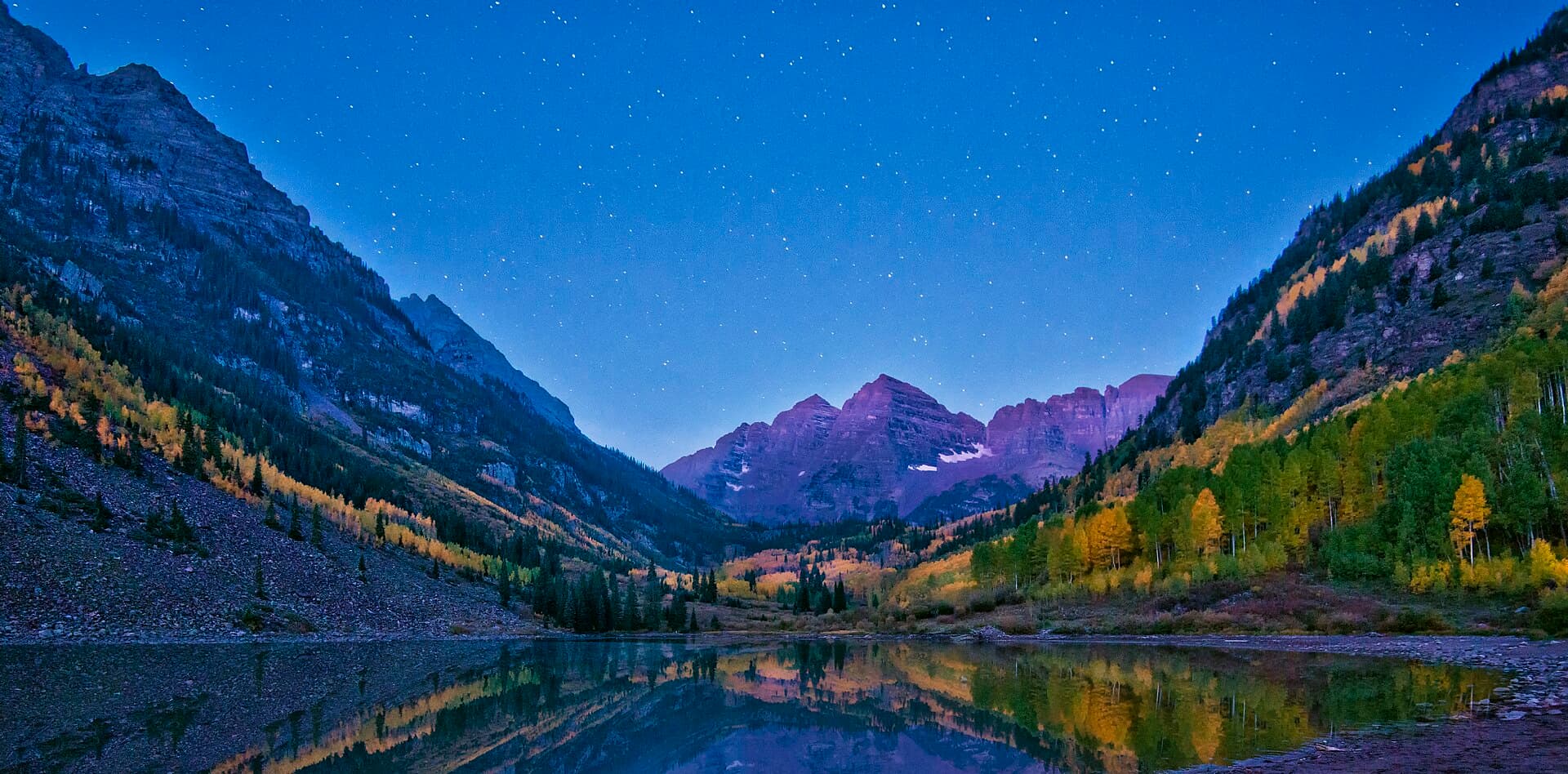
Gateway to the Sangre de Cristo Wilderness
The reason serious hikers keep coming back isn't the Rainbow Trail itself. It's what the trail connects to. The Sangre de Cristo Wilderness sits just uphill, and the Rainbow Trail is the doormat to it.
From junctions along the route, foot-and-horse-only spurs climb to alpine lakes, hidden waterfalls, and the bases of some of Colorado's most dramatic peaks. The Crestone group, including Crestone Needle and Crestone Peak, rises out of this range, and several classic approaches start from trailheads tied into the Rainbow Trail network. The peaks here are steep, rough, and beautiful, with rock that's more solid than most Colorado summits.
You don't need to be a peak bagger to enjoy that gateway feeling, though. Walking a flat mile of the Rainbow Trail and then turning uphill toward a lake basin, watching the valley drop away behind you, is one of the quieter pleasures in this part of the state. If you're newer to high-altitude hiking, start with our Colorado hiking beginner's guide and build up to the bigger spurs.
Frequently Asked Questions
How long is the Rainbow Trail in Colorado?
The Rainbow Trail is about 113 miles long, running along the eastern base of the Sangre de Cristo Mountains in the San Isabel National Forest. Most people hike short sections as day trips rather than walking the whole thing, which would take a week or more.
Where does the Rainbow Trail start and end?
It runs from near Poncha Pass and Mears Junction off US-285 in the north down to the Music Pass area near the Great Sand Dunes in the south. Salida and Westcliffe are the main towns travelers use as base camps for reaching the trail.
Can you mountain bike on the Rainbow Trail?
Yes. The main trail stays outside the wilderness boundary, so mountain bikes, motorcycles, and dirt bikes are all allowed. ATVs and four-wheeled vehicles are not. Any spur trail that enters the Sangre de Cristo Wilderness is limited to hikers and horses only.
Is the Rainbow Trail hard?
The main trail is moderate, with rolling climbs in and out of creek drainages rather than one big sustained ascent. Difficulty depends on how far you go and whether you turn uphill onto a high spur trail. Short day-hike sections like Crystal Falls are easy enough for families.
When is the best time to hike the Rainbow Trail?
Late June through September is ideal. July and August have the best wildflowers but daily afternoon thunderstorms, so start early. September brings golden aspens, thinner crowds, and fewer bugs, which makes it many hikers' favorite month.
The Rainbow Trail rewards the flexible. Pick a trailhead near Salida or Westcliffe, decide how far you feel like walking, and let the Sangre de Cristos do the rest. When you're ready for the high country above it, our Crestone guide covers the wild peaks waiting at the top of the spurs.
Get the Colorado 14er Packing Checklist (free PDF)
Plus a weekly note on the best Colorado trails, gear deals, and seasonal hike picks. No spam, unsubscribe anytime.
We respect your inbox. Unsubscribe anytime.