The Crags Trail: Pikes Peak's Quiet West Side (and Back Route to the Summit)
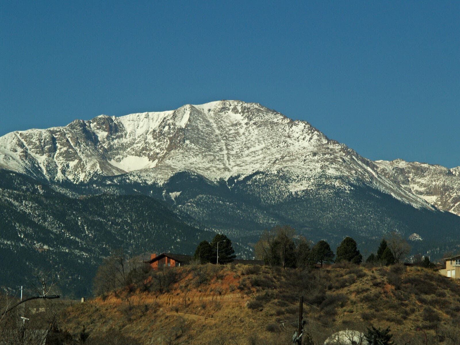
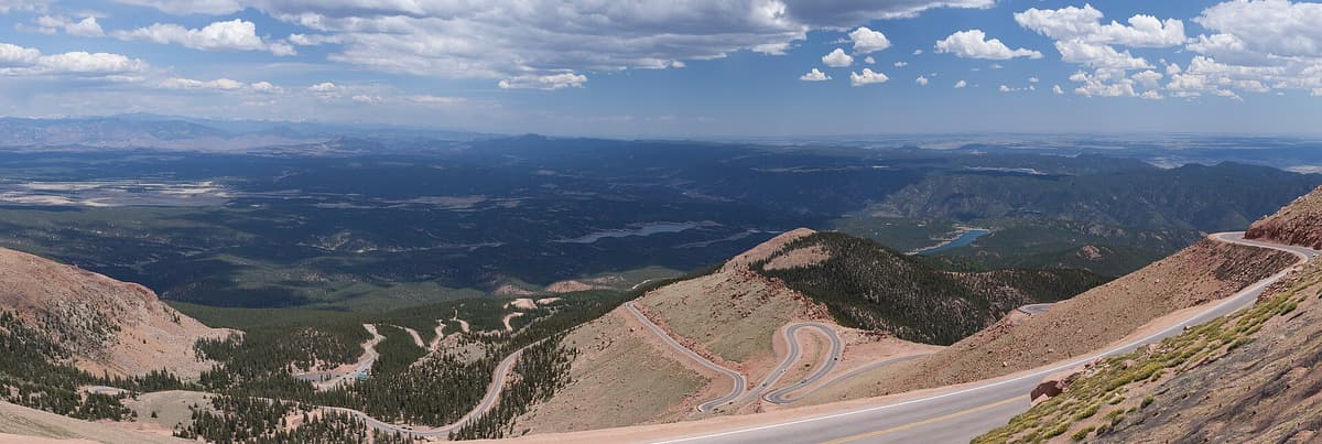
The Crags Trail sits on the quiet back side of Pikes Peak, near the town of Divide, and it's really two hikes sharing one trailhead. The short version is a moderate 4.5-mile round trip through the forest to a cluster of granite rock formations, gentle enough for kids and dogs. The long version uses the same start to climb Pikes Peak (14,115 feet) by way of Devils Playground, a 13 to 14-mile round trip that most people have never heard of. It's the least-crowded way up one of Colorado's most famous mountains.
If your only picture of Pikes Peak is the traffic on the toll highway or the packed Barr Trail out of Manitou Springs, the Crags side will surprise you. The trailhead is at about 10,100 feet, so you start high. The lower trail is forgiving. And on a weekday you can walk to the rock formations and back and pass only a handful of people. This guide covers both hikes, how to find the trailhead, what Devils Playground actually is, and what to pack for either day.
What You'll Learn
- Quick Stats
- Getting to the Crags Trailhead
- The Crags Trail: The Family Hike
- Pikes Peak via the Crags and Devils Playground
- What Is Devils Playground?
- When to Go and What the Weather Does
- What to Bring
- Where to Stay: The Crags Campground
- Frequently Asked Questions
Quick Stats
The Crags Trail (Trail #664)
- Distance: about 4.5 miles round trip
- Elevation gain: around 820 feet
- Trailhead elevation: about 10,100 feet
- High point: around 10,800 feet at the rock formations
- Difficulty: moderate, mostly gentle grades
- Time: 2 to 3.5 hours
- Dogs: allowed on leash
Pikes Peak via the Crags (Devils Playground route)
- Distance: about 13.6 to 14 miles round trip
- Elevation gain: around 4,300 feet
- Summit elevation: 14,115 feet
- Difficulty: strenuous, above treeline for miles
- Time: 5 to 6 hours up, roughly 10 hours round trip for a fit hiker
Two hikes, one parking lot. You decide which one you're doing based on how you feel, the weather, and how early you got out of bed.
Getting to the Crags Trailhead
The Crags Trailhead is west of Pikes Peak near Divide, in the Pike National Forest. From Colorado Springs, take Highway 24 west about 25 miles to the town of Divide. In Divide, turn south onto Highway 67 and drive 4.3 miles. Watch for a sign on the left for the Crags Campground, turn there, and follow the gravel road about 3.5 miles to the campground and trailhead.
That last stretch is dirt and washboard. A passenger car can make it in dry conditions if you take it slow, but you'll rattle your teeth on the corrugated sections. After rain or during shoulder season, higher clearance helps. The trailhead parking fills on summer weekends, so getting there before 8 a.m. is smart for both the parking and the weather.
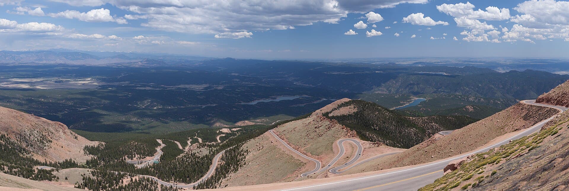
Here's the part people miss: there's no fee to park at the trailhead for trail access. The Crags Campground and its day-use sites charge a fee, paid at the entry station, but if you're just parking to hike you don't pay to walk. That's a real contrast with the Pikes Peak Highway, which charges per person to drive up the front of the mountain. You cross that highway on foot near the top of the summit route without paying a cent.
Cell service is spotty out here. Download your map before you leave pavement in Divide, and tell someone your plan if you're going for the summit.
The Crags Trail: The Family Hike
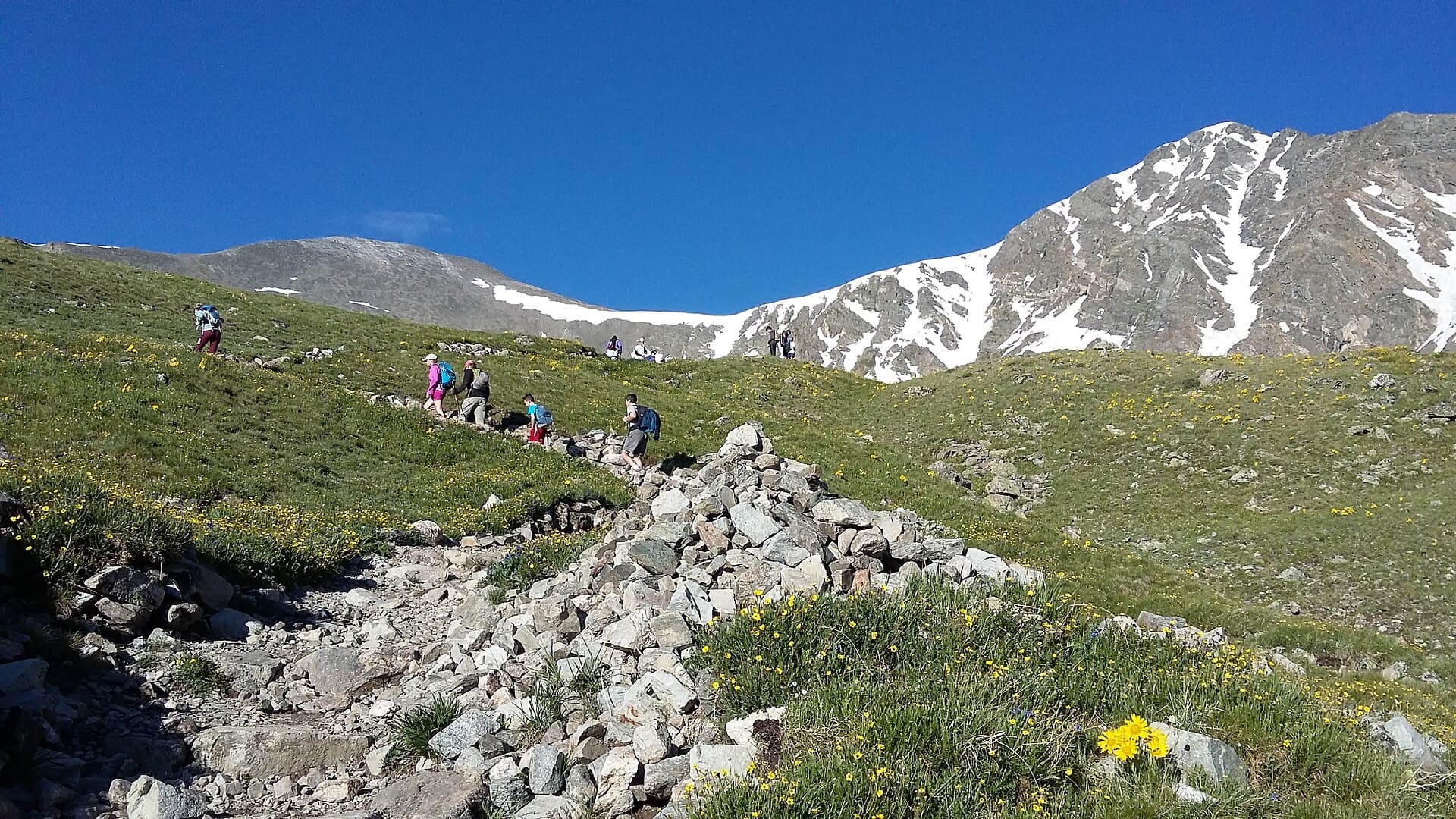
The short hike is the one most people come for, and it's a good one. From the trailhead, the Crags Trail follows Fourmile Creek through a mixed forest of spruce, fir, and aspen. The grade is easy for the first stretch, with a couple of stream crossings and some roots and rocks to step over. Kids handle it fine. Dogs love it.
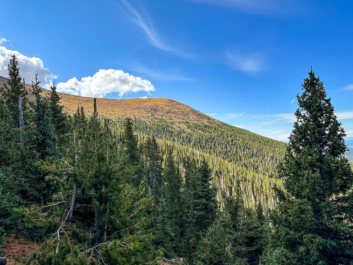
After about two miles the trail climbs a bit more steeply and opens up to the granite rock formations that give the trail its name. These are weathered pink granite outcrops, the same rock that makes up the Garden of the Gods and the summit boulders of Pikes Peak itself. Kids scramble on the lower rocks, families eat lunch with a view east toward the high peak, and photographers wait for afternoon light. The high point sits around 10,800 feet, so even this gentle hike gets you well above where most flatlanders live.
Turn around at the formations and you've done a satisfying half-day. It's a good acclimatization hike if you're in the area for something bigger, and it pairs well with the other short options in our guide to the best hikes near Colorado Springs. Because you're starting at 10,100 feet, even this easy walk can leave visitors from sea level winded, so read up on altitude sickness prevention before your trip and drink more water than feels necessary.
Pikes Peak via the Crags and Devils Playground
Now the big one. The same trailhead is the start of the least-traveled route up Pikes Peak. Instead of staying on the Crags Trail to the rock formations, you veer onto the Devils Playground Trail (numbered 664A) and start the long climb toward the summit.
The route gains about 4,300 feet over roughly 7 miles one way. It climbs through forest, breaks out of the trees into a wide alpine meadow, and works up to a saddle on the rim of Devils Playground. From there the trail crosses the Pikes Peak Highway, then follows a line of rock cairns along the broad ridge toward the top. The final push to the summit is a short, rocky scramble. Most fit hikers reach the top in 5 to 6 hours and finish the round trip in about 10.
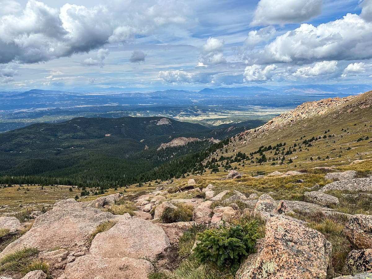
Why do it this way instead of Barr Trail? Two reasons. First, distance and gain. The Crags route is roughly half the length of the 26-mile Barr Trail slog and asks for about 3,000 fewer feet of climbing, because you start so much higher. Our full Pikes Peak by Barr Trail guide lays out just how punishing that classic route is. Second, solitude. Barr Trail sees a parade of hikers all summer. The Crags side stays quiet.
There's a bonus at the top. The summit has the Pikes Peak Summit Visitor Center, rebuilt in 2021, where you can buy the famous high-altitude donuts, refill water, and warm up. Some hikers arrange for a friend to drive up the highway and give them a ride down, which turns a 14-mile day into a 7-mile one. If that's the plan, the driver pays the highway fee, and you'll want to agree on a meeting time before you split up. If Pikes Peak is your first 14er, be honest with yourself about the distance and the altitude first. Our Colorado 14ers guide explains where this route ranks and how to build up to it.
What Is Devils Playground?
Devils Playground is the broad, boulder-strewn alpine bench you cross on the way to the summit, and it has one of the best names in Colorado. Local lore says it earned that name because lightning appears to jump and dance from rock to rock across the flats during summer storms, as if the devil is playing up there. Stand on it during a building thunderstorm and you'll understand why nobody argues with the name.
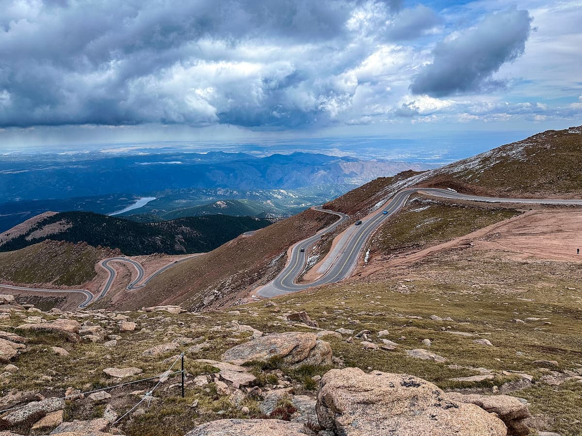
That's not just folklore, it's a safety warning. Devils Playground is completely above treeline, wide open, and one of the most lightning-prone spots on the mountain. There is nowhere to hide. The rule for the whole upper route is simple: be on the summit by late morning and heading down before the clouds stack up. Colorado's afternoon storms are predictable and dangerous, and this is exactly the kind of terrain where hikers get caught. If a storm is building and you're still climbing, turn around. The mountain will be there next weekend.
When to Go and What the Weather Does
The prime season for both hikes is mid-June through September, once the access road and upper trail have melted out. July and August give you the most reliable footing up high, but they also bring the most reliable afternoon thunderstorms. The move is the same one every Colorado high-country hiker learns: start early, summit early, descend before noon if you can.
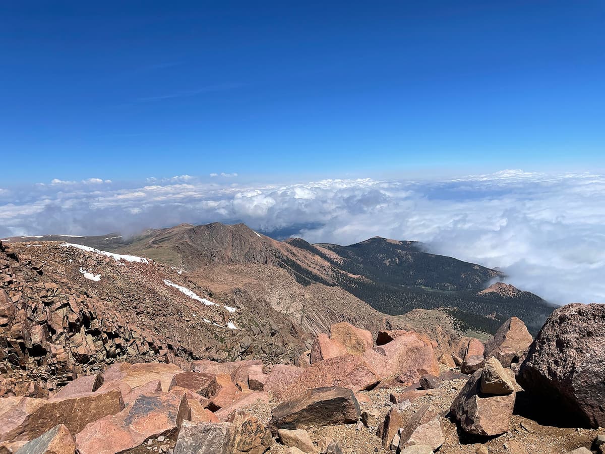
Snow lingers on the upper route into early summer and returns in September. The short hike to the rock formations stays doable later into fall, though the road gets rougher and colder. Winter turns the whole area into a snowshoe or microspike outing for people who know what they're doing. Whatever the month, mountain weather flips fast up here. For a fuller picture of how conditions swing on this peak, see our Pikes Peak weather guide. Temperatures at the summit can run 30 to 40 degrees colder than in Colorado Springs, so pack for it.
What to Bring
For the short hike to the rock formations, day-hike basics cover you. For the summit route, you're on a serious high-altitude day and your kit needs to match.
- Sturdy footwear. The lower trail is friendly, but the summit route is long and rocky. A broken-in pair of hiking boots beats trail runners for the loose rock up high. Our picks for the best hiking boots for Colorado break down the options.
- Layers and a real rain shell. Above treeline it's windy and cold even in July. Pack a warm midlayer and a rain jacket you can pull on fast when a storm rolls in.
- Trekking poles. They save your knees on the long descent and help on the scree near the top. A set of trekking poles is worth the small weight; here are our trekking pole picks for Colorado.
- Plenty of water and a snack plan. There's no reliable water above the forest. Carry 2 to 3 liters for the summit day in a comfortable daypack. See our best daypacks for Colorado trails.
- Sun protection. At this altitude the sun is brutal. Hat, sunglasses, and sunscreen, even on cool days.
- A headlamp if there's any chance you finish in low light, plus the usual map, first-aid, and extra food.
Bold, begging marmots live up in the rocks and will happily raid an unattended pack for salty snacks. Keep your food zipped up and don't feed them, no matter how cute they look on the boulders.
Where to Stay: The Crags Campground
If you want to hit the trail at dawn, camping at the trailhead is the easy answer. The Crags Campground sits right at the start, with a handful of forested sites among the pines at about 10,000 feet. It's a fee campground, and sites can be reserved through Recreation.gov during the summer season, which is smart on busy weekends. Nights are cold up here even in midsummer, so bring more sleeping bag than you think you need.
Camping at the trailhead also means you're acclimatizing overnight at 10,000 feet, which helps a lot if you're driving up from lower elevation for the summit. Sleep high, start early, and you give yourself the best shot at both a good summit and an easy walk out. Divide and nearby Woodland Park have motels and food if car camping isn't your thing, and both put you a short drive from the turnoff.
Frequently Asked Questions
How long is the Crags Trail?
The main Crags Trail to the rock formations is about 4.5 miles round trip with roughly 820 feet of elevation gain, and most people finish it in 2 to 3.5 hours. If you continue past the formations toward Pikes Peak via Devils Playground, the round trip stretches to about 13.6 to 14 miles.
Can you hike Pikes Peak from the Crags Trailhead?
Yes. The Crags Trailhead is the start of the Devils Playground route up Pikes Peak, about 7 miles and 4,300 feet of gain to the 14,115-foot summit. It's shorter and much less crowded than Barr Trail, though it's still a strenuous, all-day, above-treeline hike that most fit hikers finish in about 10 hours round trip.
Is there a fee to hike the Crags Trail?
There's no fee to park at the trailhead for trail access. The Crags Campground and its day-use facilities do charge a fee, paid at the entry station. Unlike the Pikes Peak Highway, which charges to drive up the front of the mountain, hiking from the Crags side is free.
Are dogs allowed on the Crags Trail?
Yes, dogs are welcome on leash in this part of the Pike National Forest. The short hike to the rock formations is a good dog outing thanks to the shade, the creek, and the gentle grade. Bring water for your dog and watch for afternoon heat and storms.
How hard is the Crags Trail?
The hike to the rock formations is moderate, with gentle grades and a short steeper section near the end, and it suits families and beginners who are used to the altitude. The full summit route is a different animal: strenuous, long, and exposed above treeline, and it should only be attempted with an early start and good weather.
The Bottom Line
The Crags Trail gives you options most Pikes Peak visitors never consider. Come for the easy walk to the granite formations and you get a quiet, family-friendly half-day at 10,000 feet. Come for the summit and you get the shortest, calmest route up a mountain that inspired "America the Beautiful," minus the Barr Trail crowds. Either way, start early, watch the sky over Devils Playground, and enjoy having Pikes Peak's back side mostly to yourself. Ready for more high country? Our roundup of the easiest 14ers in Colorado for beginners is a good place to plan your next one.
Get the Colorado 14er Packing Checklist (free PDF)
Plus a weekly note on the best Colorado trails, gear deals, and seasonal hike picks. No spam, unsubscribe anytime.
We respect your inbox. Unsubscribe anytime.