Kite Lake Trailhead: Four 14ers From One Colorado Parking Lot
The Kite Lake Trailhead sits at about 12,000 feet in the Mosquito Range above the town of Alma, and it's the most efficient 14er start in Colorado. From this one gravel lot you can climb four summits over 14,000 feet in a single day on a loop hikers call the DeCaLiBron: Democrat, Cameron, Lincoln, and Bross. Nowhere else in the state do the fourteeners line up so neatly around one basin.
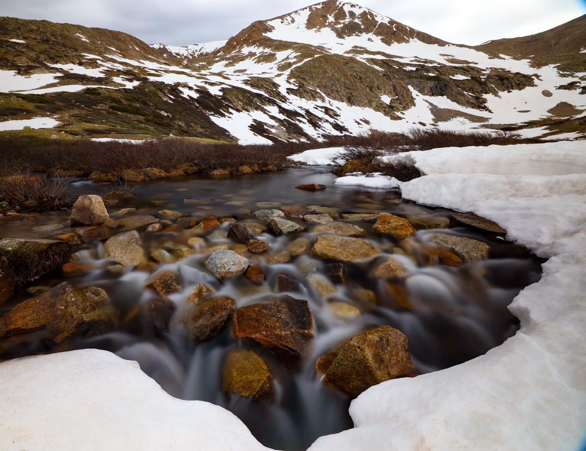
The trailhead is also just a pretty place to stand. Kite Lake is a small alpine tarn right at the parking area, ringed by tundra and snow well into summer, with the peaks rising straight out of the water. You don't have to climb anything to enjoy it. This guide covers how to get there, what the road is really like, the parking fee and the waiver you now have to sign, the full loop peak by peak, and how to do the short version if four 14ers isn't the plan.
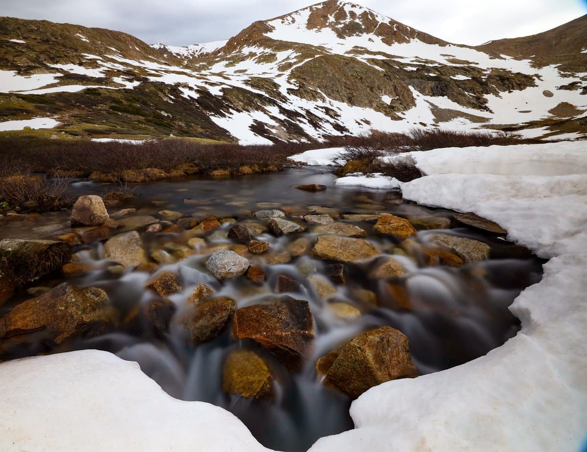
If you're heading up early in the season, throw a pair of microspikes in your pack before anything else. North-facing snow lingers on Democrat's slopes into July most years, and slick snow on steep tundra is the thing that turns people around.
What You'll Learn
- Quick Stats
- Where Is the Kite Lake Trailhead?
- Getting There: The Buckskin Gulch Road
- Parking, Fees, and the Waiver
- The DeCaLiBron Loop: Four 14ers, One Day
- Just Want the Lake? The Short Version
- When to Hike
- What to Pack
- Where to Stay
- Frequently Asked Questions
Quick Stats
- Trailhead elevation: about 12,000 feet (one of the highest trailheads in Colorado)
- DeCaLiBron loop: about 7.25 miles round trip, roughly 3,600 feet of gain
- Difficulty: Class 2, rated hard for the mileage plus the altitude
- Summits: Mount Democrat (14,155 ft), Mount Cameron (14,238 ft), Mount Lincoln (14,293 ft), Mount Bross (14,172 ft)
- Fees: $3 per vehicle day-use, $12 per night to camp
- Waiver: required, signed at the trailhead via QR code
- Season: roughly July through September for a dry loop
- Dogs: allowed on leash, though the talus is rough on paws
Where Is the Kite Lake Trailhead?
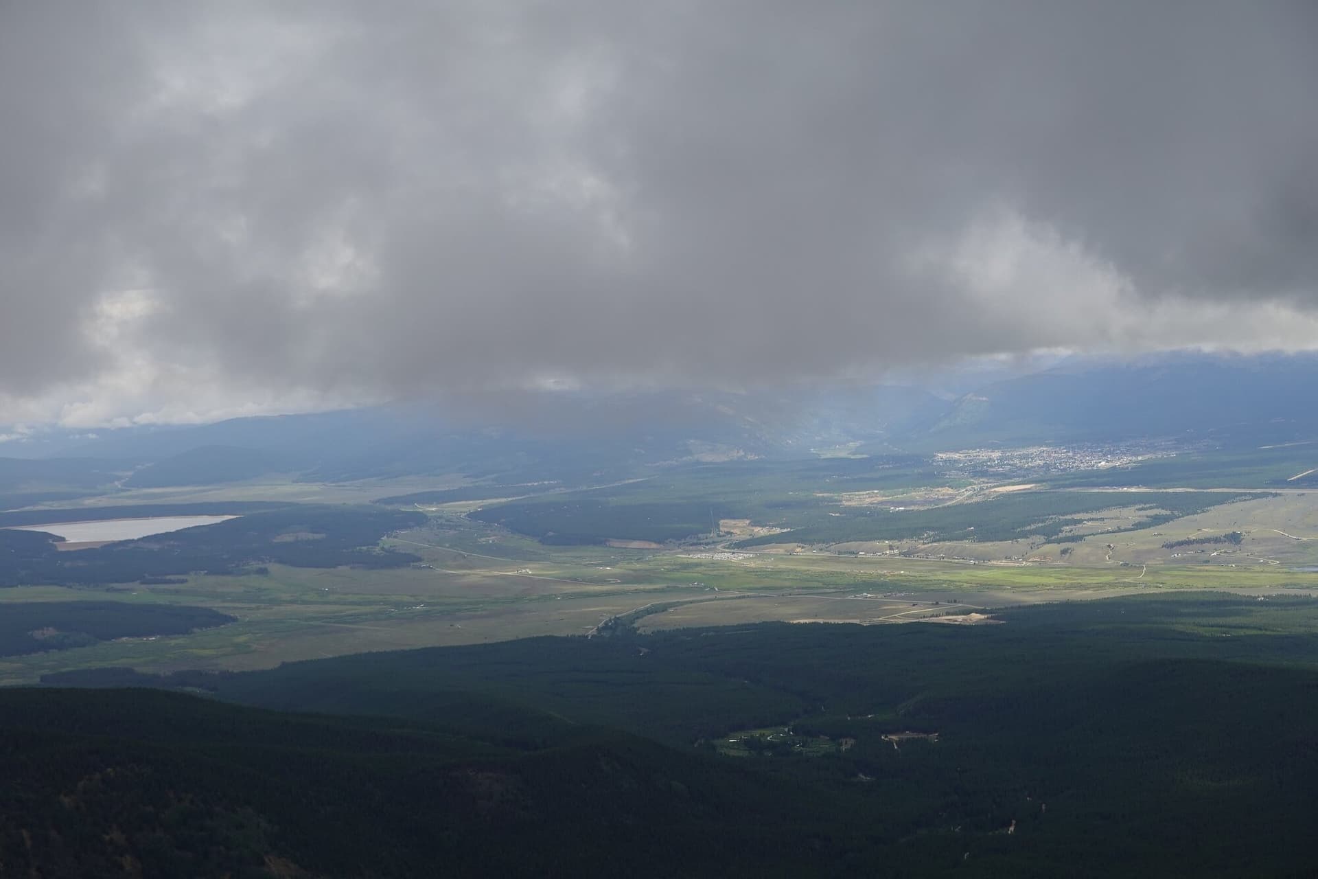
Kite Lake is in Park County, at the head of Buckskin Gulch above Alma. Alma sits on Highway 9 between Fairplay and Breckenridge, and at 10,578 feet it's the highest incorporated town in the United States, so you're already breathing thin air before you even turn off the pavement. From the middle of Alma you take County Road 8 (also signed as Buckskin Gulch Road and Forest Road 8) west and northwest for about 5.5 miles to the lake.
That short distance climbs almost 1,500 feet, which tells you what kind of road it is. You end up in a high tundra bowl with the Mosquito Range wrapped around three sides. The nearest neighbor peak worth knowing is Mount Sherman, the gentle 14er a few drainages south that shares this same range and makes a good pairing on a two-peak weekend.
Getting There: The Buckskin Gulch Road
The road to Kite Lake is the part people underestimate. The first couple of miles past Alma are graded dirt that most cars handle fine in dry weather. The last stretch is where it gets rocky, rutted, and pocked with potholes that hide in the shade. Plenty of low-clearance cars make it to the lot every summer, but they do it slowly, and a scrape or a flat is common when drivers hurry.
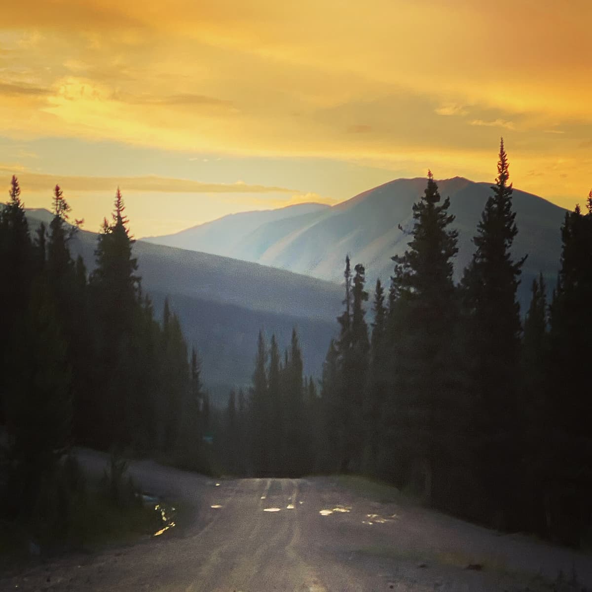
If your car sits low, the smart move is to park at one of the pullouts before the roughest section and walk the rest of the way. It adds distance but saves your oil pan. High-clearance vehicles have no trouble, and you rarely need four-wheel drive to reach the upper lot in summer.
One thing to check before you go: for 2026 the Forest Service closed Forest Road 8 for major roadwork from about September 1 through November 15, which puts the whole DeCaLiBron off-limits during that window. The plan is to reopen with a re-graded, passenger-car-friendly surface, possibly with a gate to manage crowds. That means summer trips this year should happen before Labor Day, and it's worth a quick look at the Pike-San Isabel National Forest alerts page for current status. Road rules up here change, so treat any guide, including this one, as a starting point rather than gospel on the day you drive up.
Parking, Fees, and the Waiver
There's a day-use fee of $3 per vehicle and a camping fee of $12 per night, paid at the self-serve station near the lake. Bring small bills or exact change; cell service is unreliable, so don't count on paying by app. The lot fills early on summer weekends. A dawn arrival is normal here, both for parking and for the weather, which we'll get to.
The bigger change in recent years is the waiver. The DeCaLiBron peaks cross old private mining claims near their summits, and access was shut down for a while when landowners worried about liability. A coalition of the landowners, Park County, the Colorado Fourteeners Initiative, and the Colorado Mountain Club worked out a deal that reopened the standard route, and the price of admission is a liability waiver. You sign it at the trailhead by scanning a QR code, and it covers Mount Lincoln and Mount Cameron. Take two minutes to do it before you start walking. It's the difference between a legal hike and trespassing.
The one summit still off the table is Mount Bross, which we'll cover below. For the parking basics that apply at trailheads all over the state, see our guide to Colorado trailhead parking.
The DeCaLiBron Loop: Four 14ers, One Day
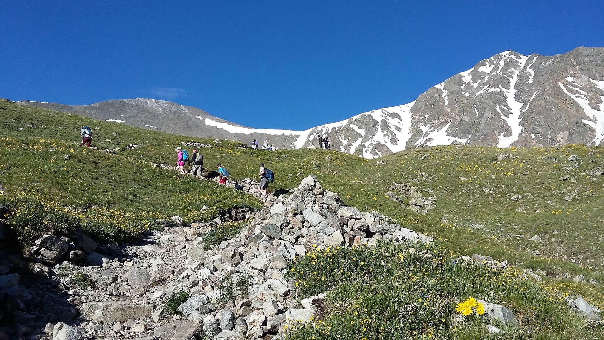
Here's why people drive that road. The DeCaLiBron is a horseshoe of peaks around the Kite Lake basin, and the standard loop links four of them in about 7.25 miles with roughly 3,600 feet of gain. It's rated Class 2, meaning steep hiking and some loose rock but no real climbing. Most hikers go clockwise, tagging Democrat first, then working across the high ridge to Cameron, Lincoln, and Bross before dropping back to the lake.
A quick note on the count. The loop has four summits but only three of them are ranked 14ers. Mount Cameron rises to 14,238 feet, higher than two of its neighbors, but it sits too close to Lincoln to earn the 300 feet of prominence that makes a peak "count" on the official list. So you climb four summits and check off three fourteeners. Purists argue about it; everyone else just enjoys the walk.
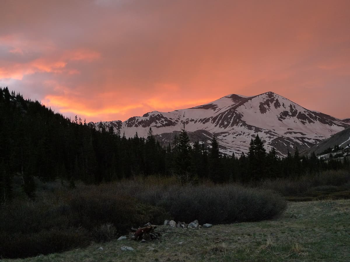
Mount Democrat (14,155 ft) is the first and steepest push. From the lake the trail climbs to a saddle, then turns up Democrat's east slope on switchbacks over loose rock to the summit. This is the section that holds snow longest, so early-season hikers often want traction here. Democrat is an out-and-back from the saddle: you climb it, then come back down to the saddle to continue the loop.
Mount Cameron (14,238 ft) and Mount Lincoln (14,293 ft) come next, and this is the easy, joyful part of the day. From the saddle you climb onto a broad tundra plateau and walk a gentle ridge over Cameron's rounded hump, then out to Lincoln, the high point of the whole loop. The walking up here is nearly flat compared to the grind up Democrat, with 360-degree views across the Mosquito and Sawatch ranges.
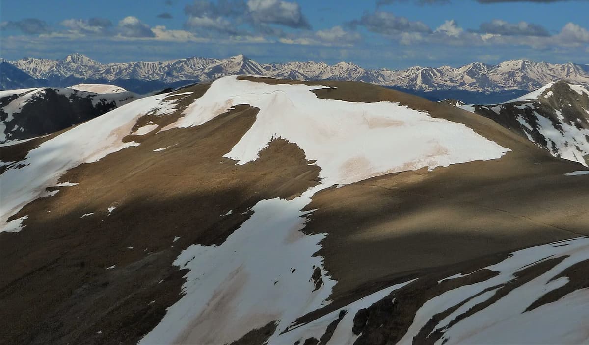
Mount Bross (14,172 ft) finishes the horseshoe, with one catch. The true summit of Bross has been closed to the public since 2007 because it's on private land, and that closure still stands even with the rest of the route reopened. The standard loop now follows a bypass trail that traverses below the actual high point rather than crossing it. You'll see "no public access" signs near the top; respect them. Reaching the closed summit isn't worth blowing up the access agreement that took years to negotiate. From the bypass you descend a steep, loose gully back down to Kite Lake, which is hard on the knees and where trekking poles earn their keep.
If this is your first big Colorado summit day, read up first. Our Colorado 14ers guide covers the fundamentals, and gentler single peaks like Quandary Peak near Breckenridge or Mount Bierstadt are better places to learn the ropes than a four-summit day at 14,000 feet.
Just Want the Lake? The Short Version
Not everyone in the car wants to climb four mountains, and that's fine. Kite Lake itself is the payoff for a lot of visitors. It's right at the trailhead, so you can walk from your car to the shore in a few minutes and spend the morning with a peak-ringed alpine lake, wildflowers in July, and marmots on the rocks.
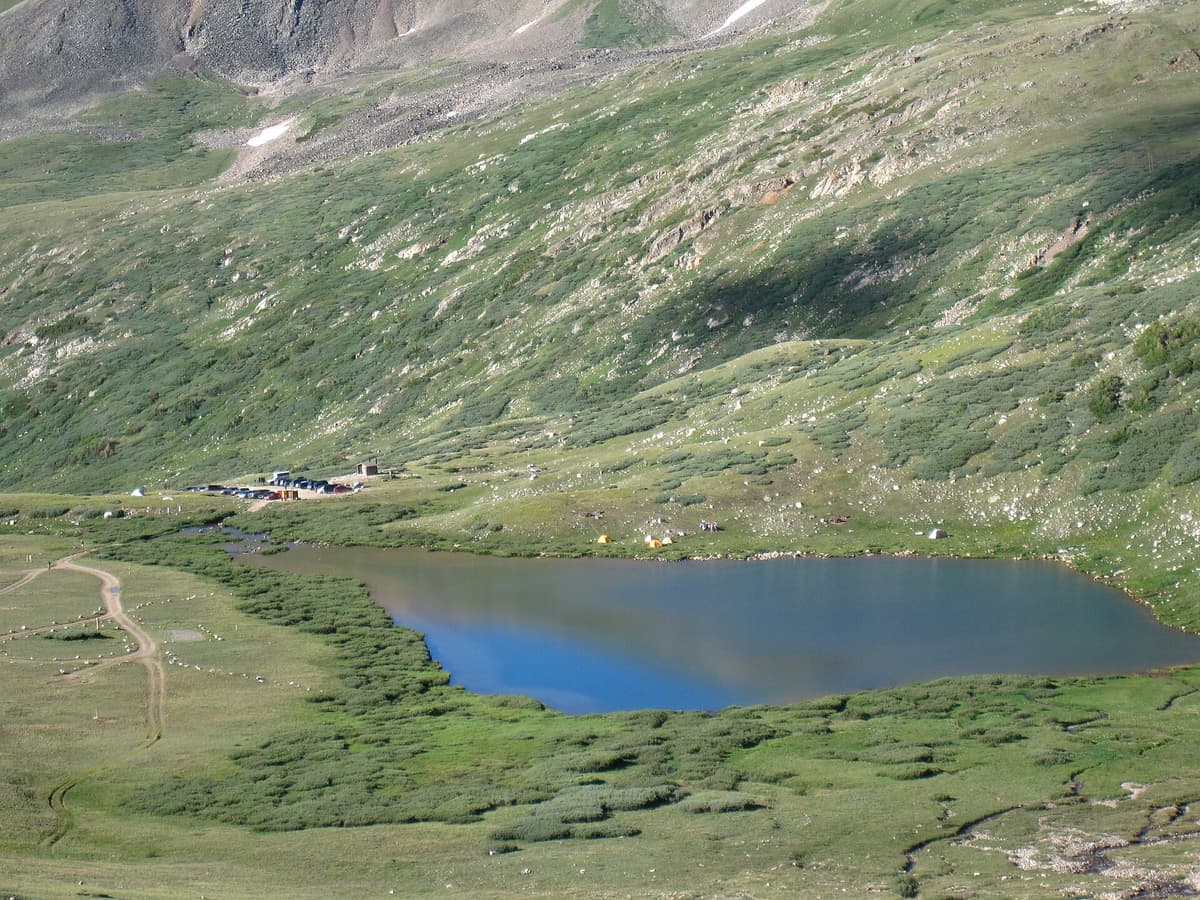
A short, flat wander around the basin gives kids and less-ambitious hikers a genuine high-country experience without the exposure or the elevation gain of the loop. Because you're at 12,000 feet, even an easy stroll feels like work if you drove up from Denver that morning, so take it slow and drink water. If the lake becomes your speed, our roundup of the best alpine lakes in Colorado has more spots in the same vein.
When to Hike
The dry season here runs roughly July through September. June often still has significant snow on the upper slopes, especially Democrat, and by October winter is moving back in. July and August are prime, with September offering cooler air and thinner crowds once school is back.
Whatever the month, the rule above treeline is the same: start at dawn and be off the summits by noon. Colorado's afternoon thunderstorms build fast, and this entire loop is exposed tundra with nowhere to hide from lightning. A 5 or 6 a.m. start isn't hardcore up here, it's normal, and it's the single biggest thing you can do to stay safe. Mountain weather turns quicker than the forecast suggests, so watch the sky the way you'd watch it on Longs Peak or any other big Colorado summit.
What to Pack
You start this hike at 12,000 feet and climb higher, so altitude and cold are the real risks, not distance.
- Traction for early season. Snow on Democrat's north-facing slopes hangs on into July. A light set of microspikes turns a sketchy snow patch into a non-event. See our picks for the best microspikes for Colorado.
- A real rain shell. Above treeline it's windy and cold even in July, and storms roll in fast. Pack a warm layer and a rain jacket you can pull on in seconds.
- Trekking poles. The loose descent off Bross is brutal on the knees. A set of trekking poles helps a lot; here are our trekking pole picks for Colorado.
- Water and a filter. Carry 2 to 3 liters in a comfortable daypack. If you want to refill from the basin's streams, a small water filter works.
- Sun protection. UV is intense at this altitude with no tree cover. Hat, sunglasses, sunscreen, every time.
- A headlamp for the pre-dawn start, plus the usual map, snacks, and first-aid basics.
Where to Stay
The Kite Lake Campground sits right at the trailhead, with a small handful of first-come, first-served sites at 12,000 feet for that $12 nightly fee. There's no water and no room for trailers, and nights are cold even in July, so bring more sleeping bag than you think you need. The upside is huge: you sleep at the trailhead, acclimatize overnight, and roll out of your tent onto the trail at first light.
Dispersed camping is also allowed at pullouts along the lower road, which is a good backup when the tiny campground is full. If you'd rather have a bed, Alma and nearby Fairplay have basic motels and food, and Breckenridge over Hoosier Pass has the full resort-town spread about 30 minutes away. Sleeping at altitude the night before makes a real difference on a loop this high; our notes on altitude sickness in Colorado explain why.
Frequently Asked Questions
How long is the DeCaLiBron loop from Kite Lake?
The standard loop is about 7.25 miles round trip with roughly 3,600 feet of elevation gain, tagging Democrat, Cameron, Lincoln, and Bross. It's rated Class 2. Most fit hikers finish in 5 to 8 hours, though the altitude slows almost everyone down.
Do you have to sign a waiver to hike the DeCaLiBron?
Yes. Because the route crosses private land near the summits, you're required to sign a liability waiver at the trailhead, done by scanning a QR code, to legally climb Mount Lincoln and Mount Cameron. It takes about two minutes and covers the access agreement that keeps these peaks open.
Do you need 4WD to reach the Kite Lake Trailhead?
Usually no. The last few miles of Forest Road 8 are rocky and rutted, so high clearance helps and low cars should go slowly, but four-wheel drive isn't required to reach the lot in summer. If your car sits low, park at a lower pullout and walk the final stretch.
Why is Mount Bross closed?
Mount Bross's true summit sits on private mining claims, and the landowner has kept it closed to the public since 2007 over liability concerns. The DeCaLiBron loop now uses a bypass trail below the actual high point, so you can complete the route without setting foot on the closed summit.
How high is the Kite Lake Trailhead?
The trailhead and Kite Lake sit at about 12,000 feet, which makes it one of the highest trailheads in Colorado. You start above treeline, so plan for cold, wind, and thinner air from the very first step, and give yourself time to acclimatize.
The Bottom Line
Kite Lake Trailhead packs more high-country payoff into one parking lot than just about anywhere in Colorado. Come for the full DeCaLiBron and you bag three ranked 14ers plus Cameron on a walkable loop; come for the lake alone and you still get an alpine basin most people never see. Sign the waiver, start at dawn, respect the Bross closure, and check the road status before you drive up. Ready to plan the rest of your summer summits? Start with our easiest 14ers in Colorado for beginners.
Get the Colorado 14er Packing Checklist (free PDF)
Plus a weekly note on the best Colorado trails, gear deals, and seasonal hike picks. No spam, unsubscribe anytime.
We respect your inbox. Unsubscribe anytime.