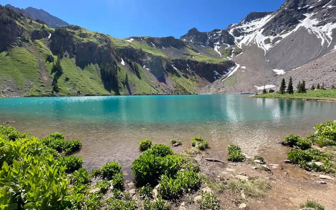
Uncompahgre Peak is the highest summit in the San Juans at 14,309 feet and the most climbed, a flat-topped mesa of a mountain that stands alone above Lake City. Its standard route is a trail nearly the whole way, and the one obstacle between most people and the top is the Nellie Creek road.
Standard Route
From the upper Nellie Creek trailhead at 11,400 feet, the trail follows the creek into a wide basin inside the Uncompahgre Wilderness, then crosses more than a mile of tundra toward the peak's south ridge. Switchbacks climb the ridge to a rock band below the summit plateau, where a short Class 2 section climbs a loose gully on the southwest side. Above it the trail returns and walks the last quarter mile across the plateau to the summit. From the upper trailhead the round trip is 7.5 miles with 3,000 feet of gain.
What to Expect
The plateau summit is enormous and the view runs from the Wilsons to the Sangres. The Class 2 gully is the only place where hands touch rock, and it is loose enough that a helmet is worth wearing while parties are above you. The peak's north face is a sheer drop; in cloud, stay well back from the plateau's edge. Because the route is so gentle, it attracts people who are not ready for the altitude; the tundra crossing at 12,500 feet is where they find out.
Access & Logistics
From Lake City, drive 5 miles west on the Henson Creek road toward Engineer Pass, then turn right on Nellie Creek Road. The 4-mile road climbs 2,000 feet with two creek crossings and rock steps, and it wants a real 4WD vehicle with clearance. Passenger cars park at the junction and walk the road, adding 4 miles and 1,600 feet each way. No fee or permit.
When to Climb
Nellie Creek Road opens by late June most years, and the trail is dry from then through September. The upper basin holds patches of snow into early July. July and August are the monsoon months in the San Juans: storms build over the peak by early afternoon nearly every day, and the plateau has no shelter. Start at dawn.
September, after the monsoon eases and before the road closes, is the best month here: stable mornings and aspen turning along Henson Creek.
Camping, Permits, and Nearby
Dispersed camping is allowed along Henson Creek and at the upper Nellie Creek trailhead, which has a toilet. Lake City, 30 minutes away, has groceries, gas, lodging, and a summer crowd of jeeps bound for the Alpine Loop. Wetterhorn Peak, the pointed summit to the west, starts from the Matterhorn Creek trailhead off the same road and pairs with Uncompahgre over a weekend. Handies, Redcloud, and Sunshine are up Cinnamon Pass Road on the far side of town.
Gear Notes
Boots, poles, layers for the plateau wind, and three liters of water; the creek in the basin is the last source. A helmet for the gully if it is busy.
Related Reading
Planning a Uncompahgre Peak climb? Get the prep checklist.
Free PDF — pre-climb fitness, gear, weather decision tree. Plus weekly Colorado trail picks.
We respect your inbox. Unsubscribe anytime.