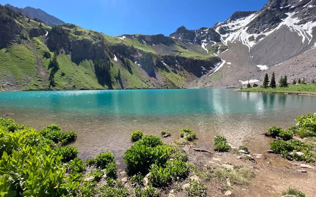
Mount Wilson is the highest of the three fourteeners in the Wilson group southwest of Telluride and the hardest of them, with a Class 4 finish on loose rock at the top of a long approach through Navajo Basin. It is a two-day trip for nearly everyone, and the traverse to El Diente along the connecting ridge is one of Colorado's four great fourteener traverses.
Standard Route
From the Navajo Lake trailhead at 9,340 feet, the trail climbs about 5 miles up the West Dolores River and Navajo Creek to Navajo Lake at 11,154 feet. From the lake, continue east into upper Navajo Basin, then climb the north slopes of Mount Wilson: talus and, early in the season, a snowfield, rising to a notch on the summit ridge. The final stretch follows the ridge on Class 3 ledges to a short Class 4 step of about 50 feet on poor rock, directly below the summit at 14,252 feet. Total: 16 miles round trip, 5,100 feet of gain. 14ers.com now lists the Southwest Slopes from the Kilpacker trailhead (12.5 miles, 4,400 feet, rated Class 3 there) as the standard; the Navajo Lake approach described here is the classic North Slopes line.
What to Expect
The summit pitch is short but exposed, and the rock is loose enough that every hold needs testing. A fall from the step would be fatal. Rockfall from other parties is a real danger on the north slopes and the ridge; helmets and spacing matter. The El Diente traverse is Class 4 with sustained exposure and takes strong parties three to five hours; it is not a shortcut between the peaks.
Access & Logistics
From Colorado 145 south of Lizard Head Pass, turn west on Dunton Road (Forest Road 535) and drive about 7 miles of gravel to the Navajo Lake trailhead; passenger cars manage it when dry. The Kilpacker trailhead, a few miles farther, offers an alternate approach from the south. No fee or permit.
When to Climb
The north slopes hold snow into late July, and the snowfield can be the easiest line if you carry an axe. Dry rock on the summit ridge usually arrives by mid-July and lasts into September. The monsoon brings afternoon storms almost daily in July and August; from the summit, the retreat to camp takes two hours, so be on top by 9 or 10 AM.
Camping, Permits, and Nearby
Camp in Navajo Basin at designated sites only, a Forest Service rule for the basin, 100 feet from water, no fires above the lake, dogs on leash. The lake is a busy camp in August; arrive early for a site. Telluride is an hour away, and Rico and Dolores are closer with fewer services. Wilson Peak, across the basin, is usually climbed from the Rock of Ages trailhead on the north side rather than from the lake.
Gear Notes
Helmet, ice axe and microspikes through July, sticky-soled boots, and poles for the approach. A short rope is reasonable for the summit step with a nervous partner. Carry a filter.
Related Reading
Planning a Mount Wilson climb? Get the prep checklist.
Free PDF — pre-climb fitness, gear, weather decision tree. Plus weekly Colorado trail picks.
We respect your inbox. Unsubscribe anytime.