Crestone, Colorado: A Hiker's Guide to the State's Wildest Mountain Town (2026)
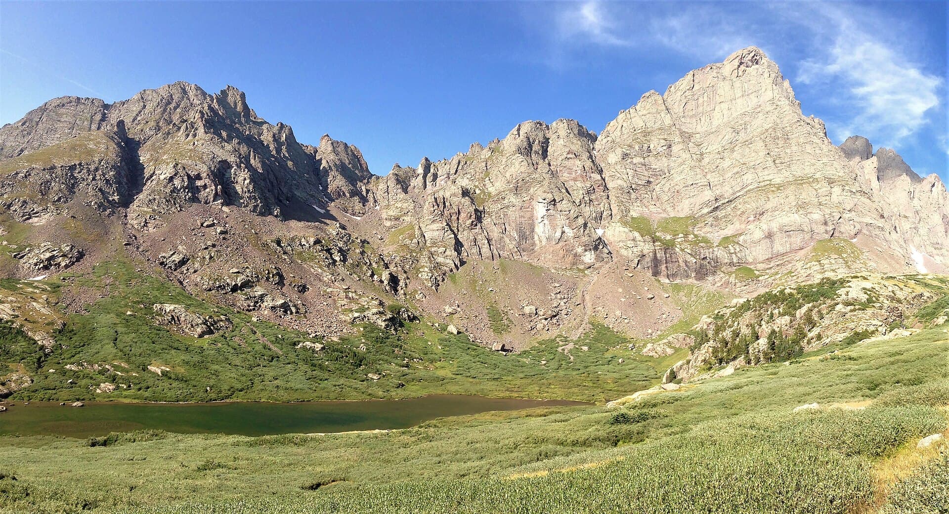
Crestone, Colorado is a tiny town at the western foot of the Sangre de Cristo Range, sitting around 7,900 feet on the edge of the San Luis Valley. Fewer than 150 people live in the town proper, but it pulls two very different crowds: seekers who come for its temples, stupas, and retreat centers, and hikers who come to climb some of the roughest 14,000-foot peaks in Colorado. It's a four-hour drive south of Denver, and once you turn off Highway 17 you feel how far out it really is.
That mix is what makes Crestone worth the trip. You can walk past a Buddhist stupa in the morning, drive 45 minutes to the tallest sand dunes in North America, and stare up at Crestone Needle in the same afternoon. This guide covers how to get there, the hikes that justify the drive, why the local 14ers are so hard, where to sleep, and what to pack.
What you'll learn
- Crestone quick facts
- Where Crestone is and how to get there
- Why Crestone is famous
- The best hikes near Crestone
- The Crestone 14ers are the hardest in Colorado
- Where to stay in Crestone
- What else to do near Crestone
- The best time to visit Crestone
- What to bring
- Common mistakes visitors make
- Frequently asked questions
Crestone quick facts
- Where it is: Saguache County, at the west base of the Sangre de Cristo Range, on the northeast rim of the San Luis Valley
- Town elevation: About 7,900 feet
- Population: Under 150 in town, with more spread through the Baca Grande subdivision to the south
- Drive from Denver: About 4 to 4.5 hours (roughly 230 miles)
- Nearest full-service town: Salida (about 1 hour north) or Alamosa (about 1 hour south)
- Closest big attraction: Great Sand Dunes National Park, about 45 minutes to an hour southeast
- Main hiking draw: Willow Lake, plus five 14ers in the Sangre de Cristo Wilderness
- Best months to hike: Late June through September
- Cell service: Spotty to none once you leave town, and gone on the trails
Where Crestone is and how to get there
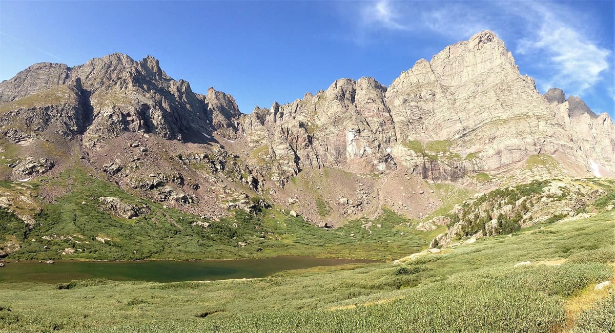
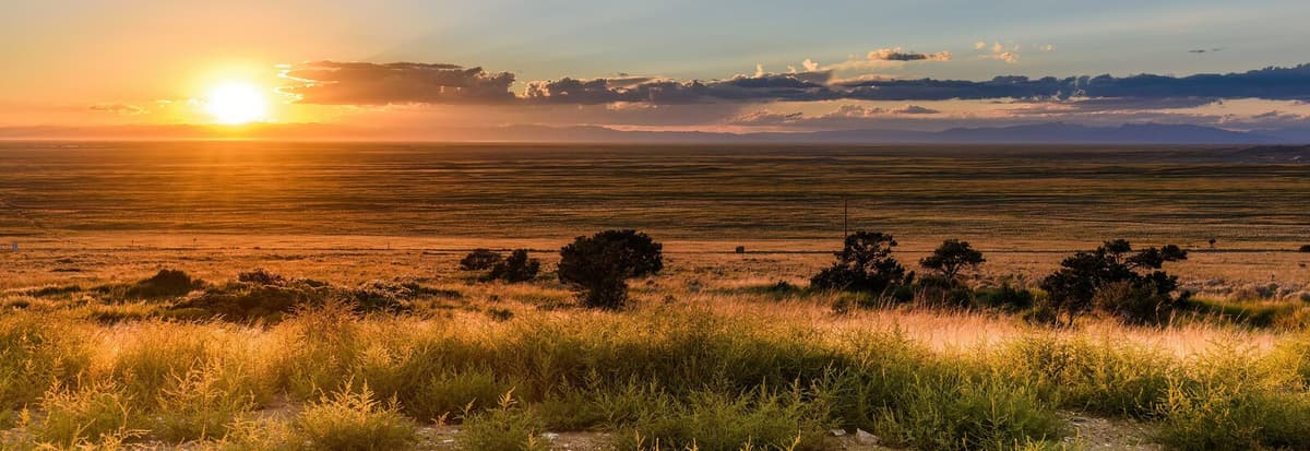
Crestone sits in the northeast corner of the San Luis Valley, one of the highest large valleys in the world with a floor around 7,500 feet. From Denver, the usual route runs south on US 285 over Poncha Pass, then south on Colorado Highway 17 through the valley, then east on County Road T straight toward the mountains. Plan on 4 to 4.5 hours without stops.
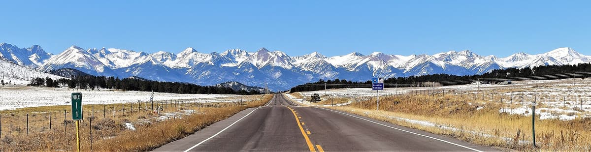
There's no interstate anywhere close and no shortcut. From the south, you'd come up through Alamosa on Highway 17. From the Arkansas River side, you drop over Poncha Pass out of Salida. Either way, the last stretch is a straight valley road pointed at a wall of peaks, which is a good preview of the terrain.
A few logistics matter out here. Fuel up before you commit to the valley, because gas stations are thin on the ground and hours can be short. The town has a small general store, a couple of cafes, and a brewery, but it is not a resort hub. Treat it like the trailhead town it is: bring what you need, and don't count on buying it at 8 PM.
Why Crestone is famous
Two things put Crestone on the map, and they rarely overlap anywhere else.
The first is its reputation as a spiritual center. Starting in the late 1970s, land in the Baca Grande area was set aside for religious and contemplative groups, and dozens took root. Today you'll find Tibetan Buddhist stupas, Hindu temples, a Carmelite monastery, a Zen center, and ashrams scattered through the piñon and juniper below the peaks. The Tashi Gomang Stupa is open to visitors and is one of the easier stops to find. People come from all over to sit retreats here, and the town's quiet, off-grid feel is part of the draw.
The second is the climbing. The Sangre de Cristos above Crestone hold some of the most rugged high peaks in the state, built from a hard conglomerate rock that pilgrims and mountaineers both seem to love. Crestone Peak and Crestone Needle are on nearly every serious Colorado hiker's list, not because they're easy but because they aren't. For a fuller look at those two summits, see our Crestone Peak and Needle traverse guide.
The best hikes near Crestone
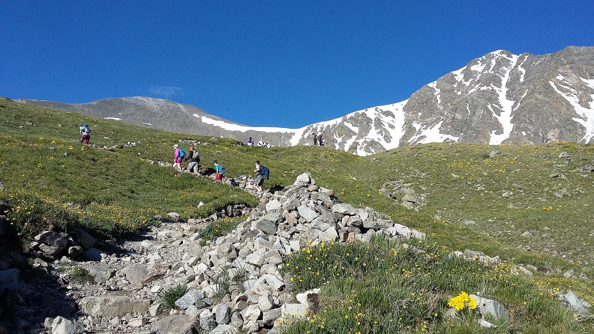
You don't need to summit a 14er to get the payoff here. The valley trailheads climb fast into granite basins with lakes and waterfalls.
Willow Lake is the headliner. From the Willow Creek trailhead near the Baca, it's roughly 4.5 miles one way to a deep alpine lake sitting near 11,600 feet, with a waterfall spilling into it and Kit Carson's cliffs rising straight behind. Figure about 2,400 feet of gain and a full day. It's a hard day hike but not a technical one, and it's the trail most people drive to Crestone for.
South Crestone Lake starts from the South Crestone trailhead and runs about 4.5 miles one way to a quiet lake in a rocky cirque. It sees fewer people than Willow Lake and makes a good option if the main lot is packed.
North Crestone Creek climbs out of the North Crestone Creek trailhead and campground, following the creek up toward a chain of high passes. You can turn it into anything from a short creekside walk to a long push toward the lakes and saddles above.
Cottonwood Lake is the rough western approach toward the Crestones themselves. The road and trail are punishing, and this one is really for peakbaggers, not casual hikers.
If you want an easier stretch of the range to warm up on, the Rainbow Trail runs along the Sangre de Cristo foothills and links many of these drainages.
The Crestone 14ers are the hardest in Colorado
Five 14ers stand within reach of Crestone, and as a group they're the toughest cluster in the state:
- Crestone Peak (14,294 ft): The seventh-highest in Colorado and a sustained Class 3 scramble up a red gully.
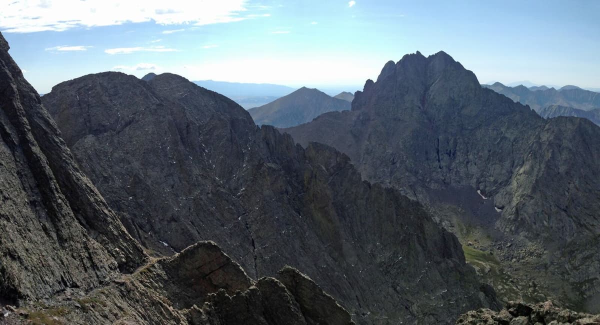
- Crestone Needle (14,197 ft): Steep Class 3 on conglomerate ribs, with real exposure and easy route-finding mistakes.
- Kit Carson Peak (14,165 ft): Known for "the Avenue," a ledge system where a wrong turn has caused fatal falls.
- Challenger Point (14,081 ft): Usually paired with Kit Carson, reached above Willow Lake.
- Humboldt Peak (14,064 ft): The gentle one of the bunch, mostly Class 2, and the right first summit here.
None of these are beginner peaks. The rock is grippy when dry and treacherous when wet, the exposure is constant on the Crestones, and afternoon storms build fast over the valley. People who climb 14ers all summer still treat this group with respect. If you're newer to high peaks, cut your teeth elsewhere first with our guide to the easiest 14ers in Colorado, then come back for Humboldt. For the full state picture, our Colorado 14ers guide breaks down the ranges and difficulty tiers.
Where to stay in Crestone
Lodging is limited, which is part of the character. In town and around the Baca you'll find small inns, cabins, and a handful of vacation rentals, plus retreat centers that host overnight guests during programs. Book ahead in summer and fall, because there just aren't many beds.
Campers have better odds. The North Crestone Creek Campground, run by the Forest Service, sits a few miles up the North Crestone road and puts you close to the trailheads. Dispersed camping is allowed on nearby national forest land if you follow the rules and pack out everything. For the how-to on doing that legally, read our dispersed camping in Colorado guide.
One note on the drive up to the trailheads: the roads past the Baca get rough and rocky, and the upper Willow Creek and Cottonwood approaches can chew up a low-clearance car. Many people park lower and walk the road, which adds miles but saves an oil pan.
What else to do near Crestone
Crestone works well as a basecamp for the whole northern San Luis Valley.
Great Sand Dunes National Park is the big one, about 45 minutes to an hour southeast across the valley. You get the tallest dunes in North America backed by the same Sangre de Cristo peaks you're staring at from town. Our Great Sand Dunes guide covers sledding the dunes, the seasonal Medano Creek, and when to go.
Hot springs are close by up Highway 17. Joyful Journey and Valley View both sit north toward Villa Grove, roughly 20 to 40 minutes out, and both make a good sore-legs reward after a big hike. See where they rank in our best hot springs in Colorado roundup.
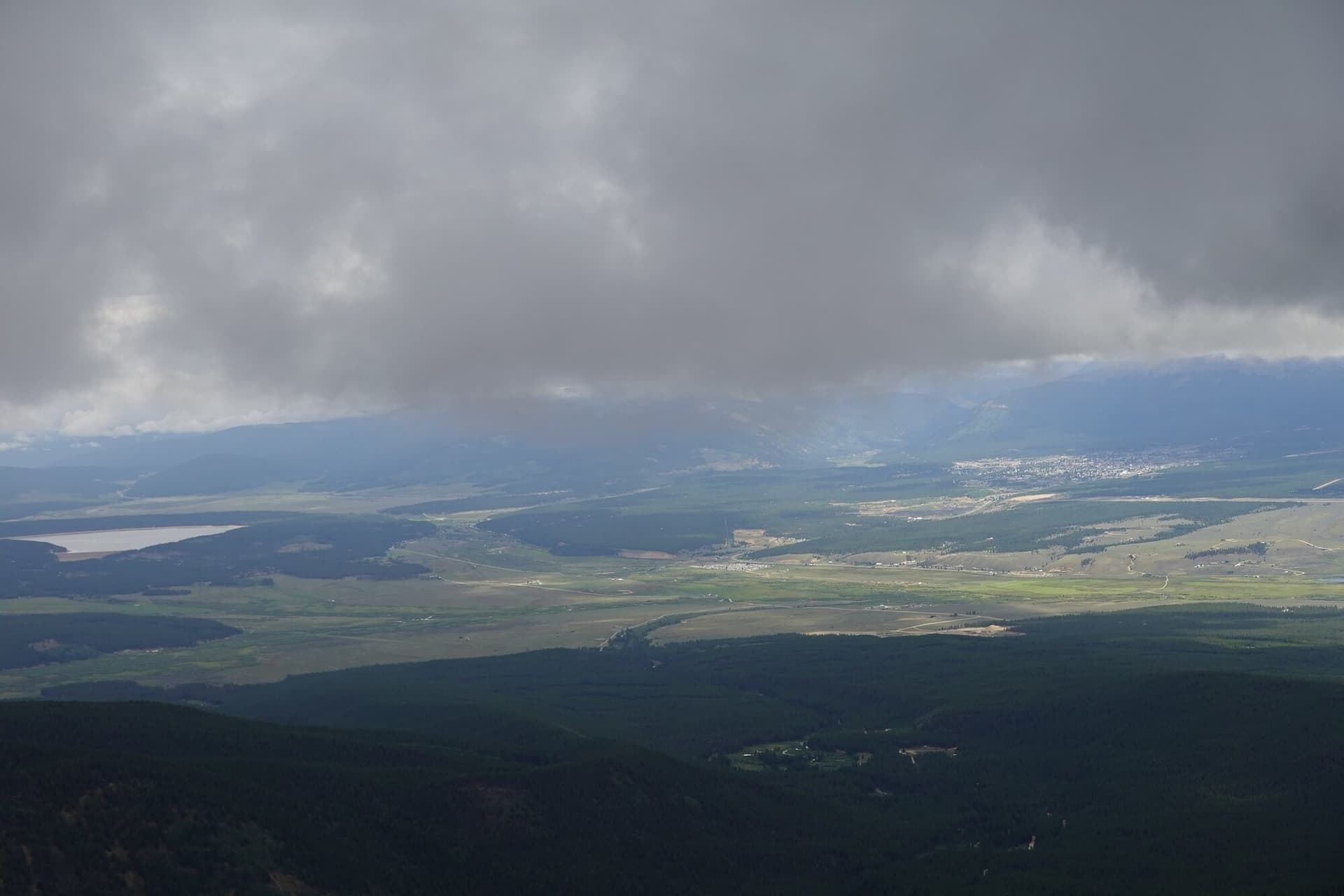
Dark skies are a quieter draw. The valley floor is high, dry, and far from city light, so on a clear night the Milky Way is loud overhead. Bring a jacket, because it gets cold fast after sundown even in July.
The best time to visit Crestone
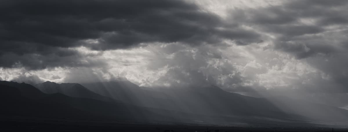
Summer (late June to early September) is prime hiking season. The high trails clear of snow, the lakes thaw, and the 14ers come into shape. The catch is the monsoon: afternoon thunderstorms build most days in July and August, so start early and aim to be off ridgelines by noon.
Fall (mid-September to mid-October) brings cool, stable air and aspen gold in the drainages. It's arguably the best window for a Willow Lake day hike, with fewer storms and thinner crowds.
Winter and spring turn quiet and cold. The town keeps running, the retreat centers stay busy, and the stargazing is superb, but the high trails are buried in snow and avalanche terrain. Save the peaks for summer.
What to bring
Crestone hikes climb high and fast, and the weather turns on you, so pack like the mountains are serious, because they are.
- Sturdy boots with real tread. The conglomerate and granite here are unforgiving on soft shoes. A broken-in pair of hiking boots beats trail runners for the rocky approaches.
- A rain shell and warm layers. Afternoon storms drop the temperature fast. Pack a packable rain jacket even on a blue morning.
- Trekking poles. The steep, loose descents off these basins wreck knees. A set of trekking poles saves them.
- A water filter. Creek and lake water is everywhere up high, so carry a light water filter instead of hauling liters from town.
- A headlamp. Big days and 14er attempts start in the dark. A dependable headlamp is non-negotiable.
- A climbing helmet for the Crestones. The rock up there is loose and the exposure is real. Anyone scrambling Class 3 should wear a climbing helmet.
Sun protection matters too. The valley air is thin and dry, so hats, sunglasses, and sunscreen do a lot of work at this elevation.
Common mistakes visitors make
- Treating the Crestones like a normal 14er. They aren't. People who scramble all summer still get stopped here by route-finding and exposure. Start with Humboldt.
- Driving a low car up the trailhead roads. The upper approaches are rocky and rough. Park lower and walk the extra road miles rather than stranding your car.
- Underpacking for cold. The town sits near 8,000 feet and nights drop into the 40s even in summer. Bring more layers than you think.
- Ignoring the storm clock. Monsoon cells build by early afternoon. Off-summit by noon is the rule, not a suggestion.
- Expecting town services. No big grocery, thin fuel, limited beds. Stock up in Salida or Alamosa on the way in.
Frequently asked questions
Why is Crestone, Colorado famous?
Crestone is known for two things at once. It's a spiritual retreat center with Buddhist stupas, Hindu temples, a monastery, and dozens of contemplative groups, and it's a basecamp for some of the hardest 14ers in Colorado, including Crestone Peak and Crestone Needle. That blend of quiet retreat town and rugged mountaineering hub is rare.
What is the elevation of Crestone, Colorado?
The town of Crestone sits around 7,900 feet above sea level on the floor of the San Luis Valley. The nearby 14ers rise well over 14,000 feet, so day hikes out of town gain several thousand feet quickly. Give yourself time to adjust to the altitude before a big climb.
Can a beginner hike the Crestone 14ers?
Not the Crestones themselves. Crestone Peak, Crestone Needle, and Kit Carson are Class 3 with serious exposure and loose rock, and they've caused fatal falls. Humboldt Peak is the one beginner-friendly summit in the group at mostly Class 2. Build experience on easier 14ers first.
How far is Crestone from Great Sand Dunes National Park?
Great Sand Dunes National Park is about 45 minutes to an hour from Crestone by car, southeast across the San Luis Valley. Many people base in or near Crestone and make the dunes a half-day trip, then hike or stargaze back on the Sangre de Cristo side.
Is Crestone worth visiting?
Yes, if you want somewhere quiet, high, and unpolished. Crestone rewards hikers who come for Willow Lake and the wilderness peaks, and travelers curious about its retreat centers and dark skies. It's not a resort town, so come for the mountains and the calm, not for nightlife or shopping.
Plan the rest of your San Luis Valley trip
Crestone pairs naturally with the rest of southern Colorado. Cross the valley to the dunes, soak at a nearby hot spring, then point west toward bigger ranges. Start with our San Juan Mountains hiking guide to build out a longer southern Colorado loop.
Get the Colorado 14er Packing Checklist (free PDF)
Plus a weekly note on the best Colorado trails, gear deals, and seasonal hike picks. No spam, unsubscribe anytime.
We respect your inbox. Unsubscribe anytime.