Best Hikes Near Idaho Springs, Colorado
Idaho Springs sits on I-70 between Denver and the Continental Divide, providing the closest access to the Mount Evans (Blue Sky) Wilderness and the I-70 14er cluster.
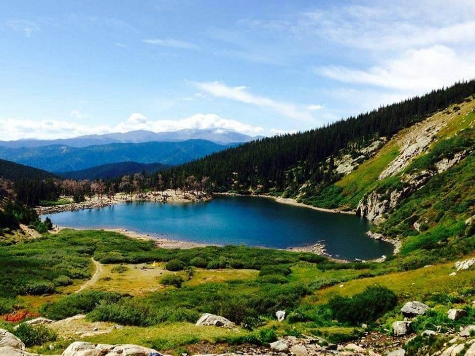
St. Mary's Glacier
A short but steep hike to Colorado's most accessible glacier. The trail leads to St. Mary's Lake and continues to the permanent snowfield above.
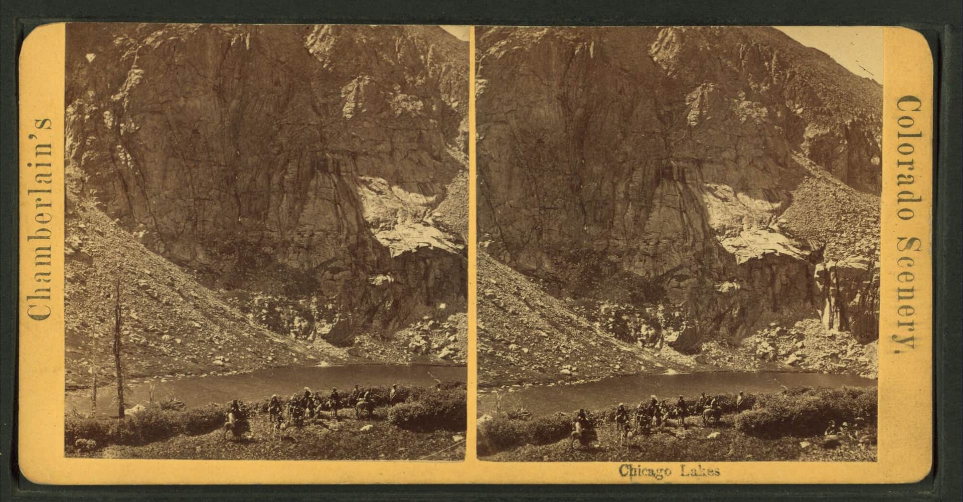
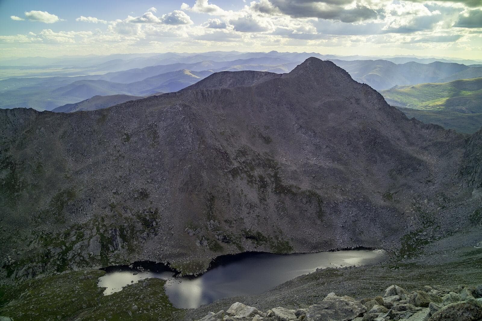
Chicago Lakes
A long but gentle hike to two pristine alpine lakes beneath Mount Evans. The trail follows an old mining road through beautiful subalpine forest.
Mount Evans Road Scenic Drive Trails
Short but tough alpine hike from the Summit Lake parking area to the top of Mount Spalding, a 13,842-foot peak on the ridge between Summit Lake and Mount Blue Sky (formerly Mount Evans). The whole hike sits above 12,800 feet, so altitude is the difficulty.
Hiking in Idaho Springs: what to know
Idaho Springs is more a basecamp than a destination. The town itself has the historic Argo Tunnel, a few breweries, and easy I-70 access. The hiking is in the surrounding Mount Evans Wilderness and the adjacent national forests.
St. Mary's Glacier is the most popular local hike: a 1.5-mile round trip to a permanent snowfield with mountain goats. The trailhead is 12 miles north of Idaho Springs on Fall River Road. Parking is paid ($15) and fills by 9 AM on summer weekends.
Chicago Lakes is the harder local option: 9 miles round trip with 2,000 feet of gain to a chain of alpine lakes beneath Mount Evans. The trailhead is at Echo Lake Park.
For 14ers, Mount Bierstadt (via Guanella Pass) and Mount Evans/Blue Sky (via the scenic byway) are both 30-45 minutes from town. Grays and Torreys (the most popular Front Range 14ers) are at Bakerville, 20 minutes west.
The Mount Evans Scenic Byway used to be a drive-up 14er, but is now reservation-only and closed to vehicles for parts of the year (the road is being rebuilt 2026). Check current access before driving.
Idaho Springs sits at 7,540 feet, which makes it a reasonable acclimatization stop for visitors driving up from Denver who want to sleep at altitude before a 14er attempt.
Winter hiking near Idaho Springs is limited by snow cover above 9,000 feet. The lower-elevation Argo trail and the Chicago Creek area stay accessible most of winter with microspikes. Higher-elevation trails (St. Mary's Glacier, Chicago Lakes) need snowshoes.
14ers Near Idaho Springs
One Colorado 14er has its trailhead near Idaho Springs.
Browse all 58 Colorado 14ers →